
Description
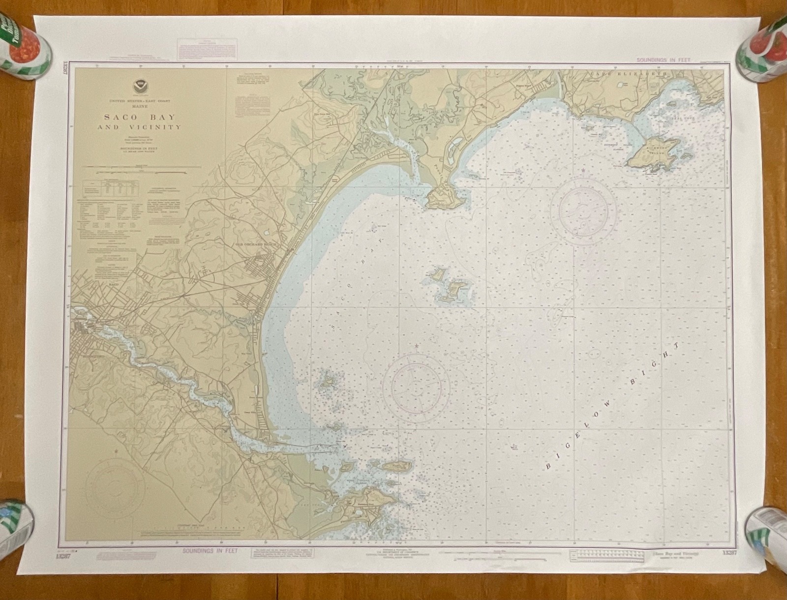
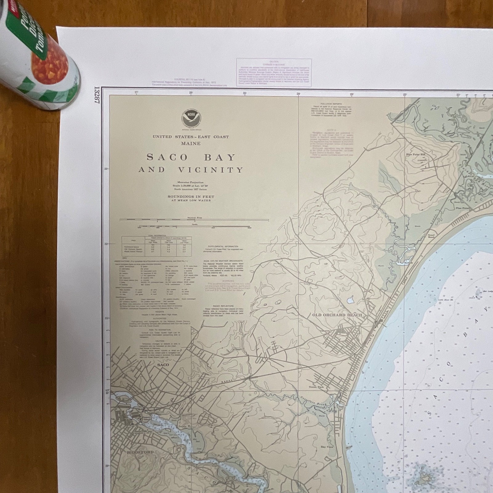
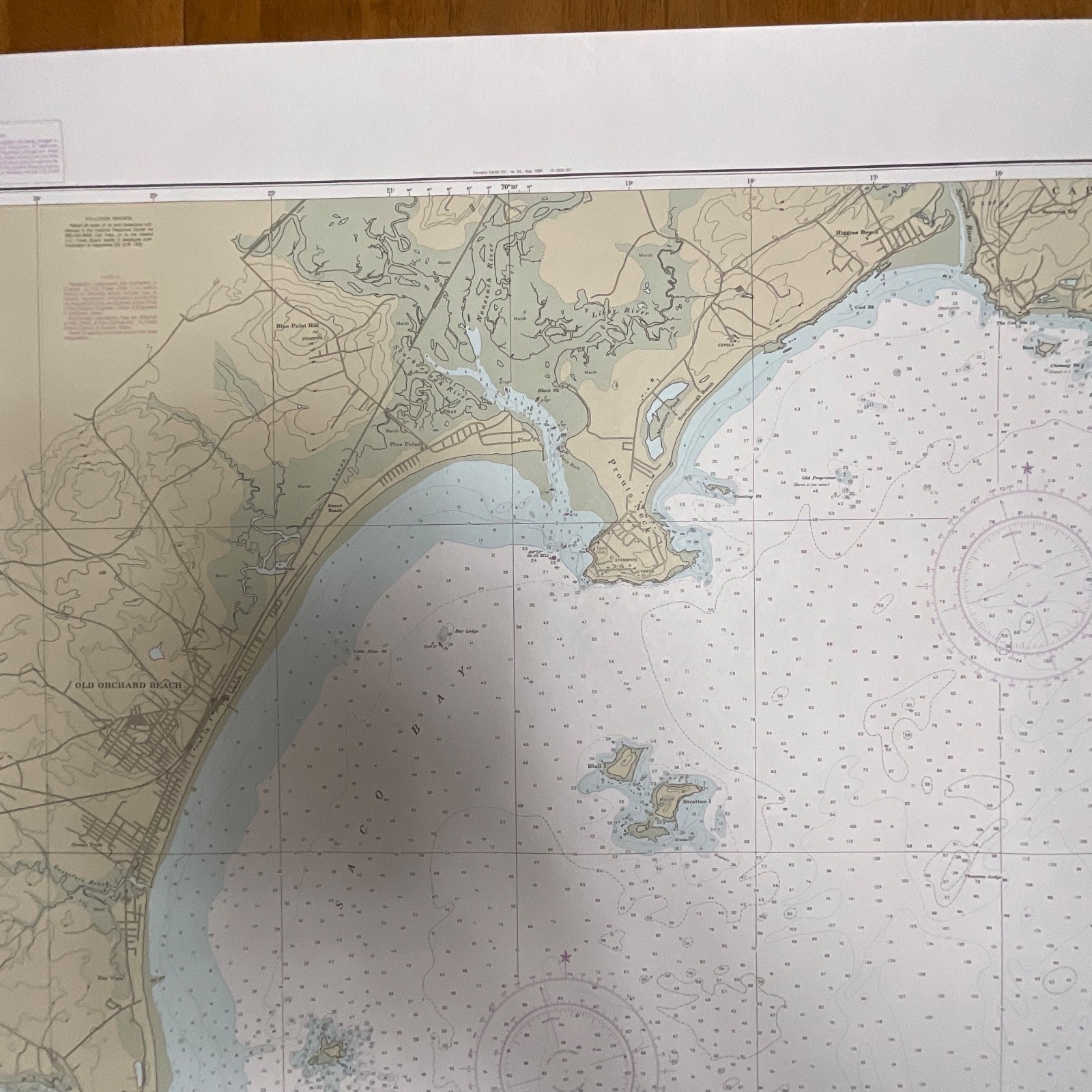
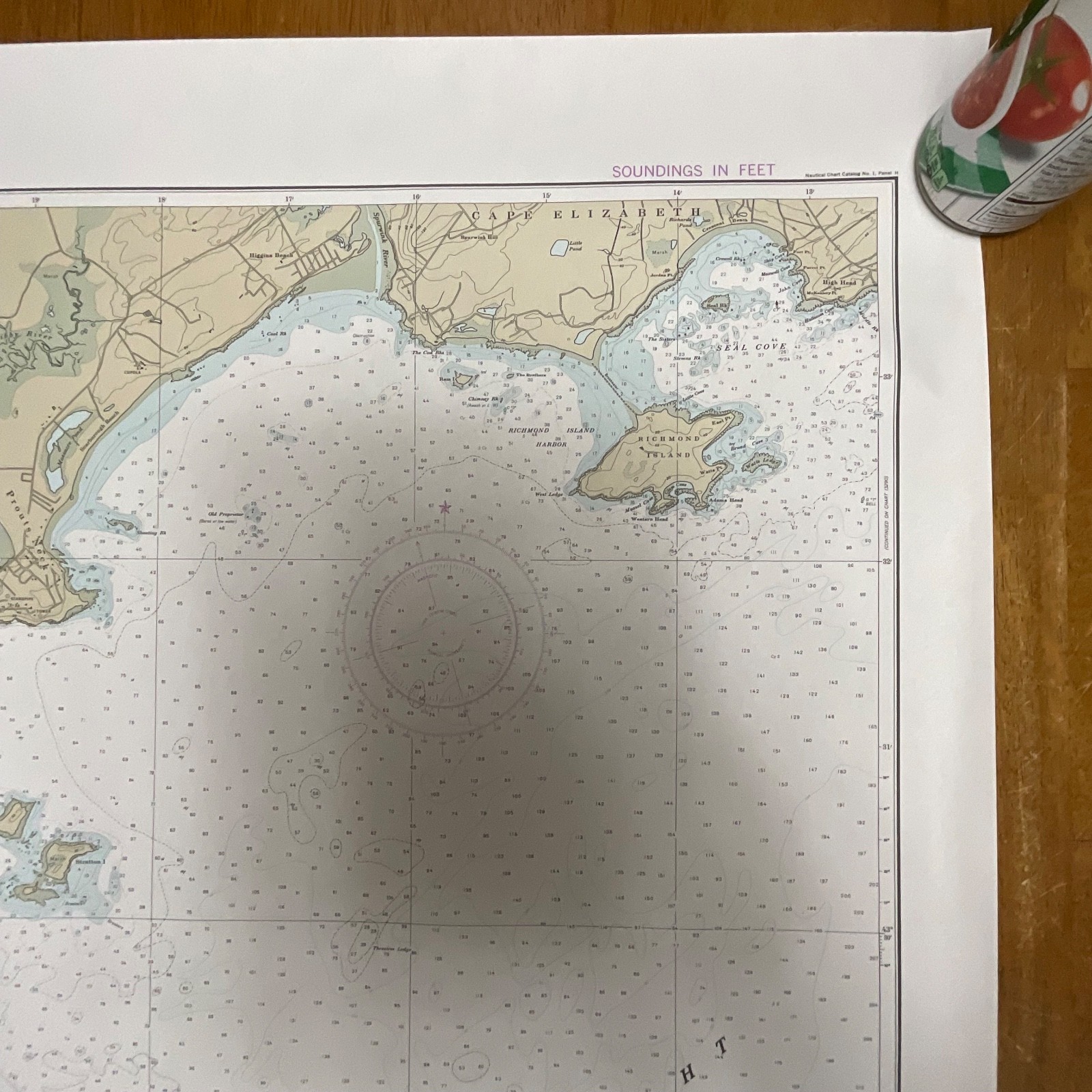
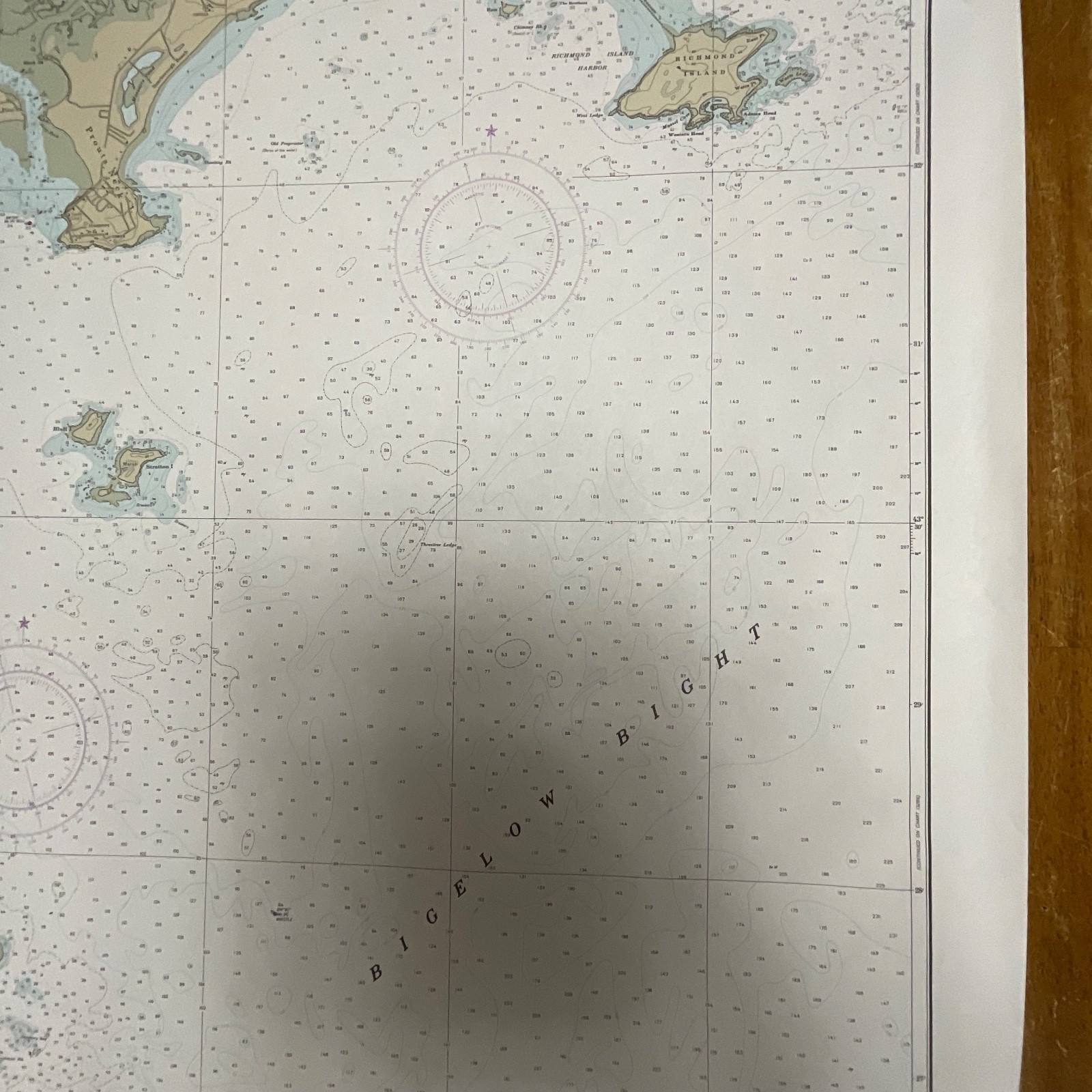
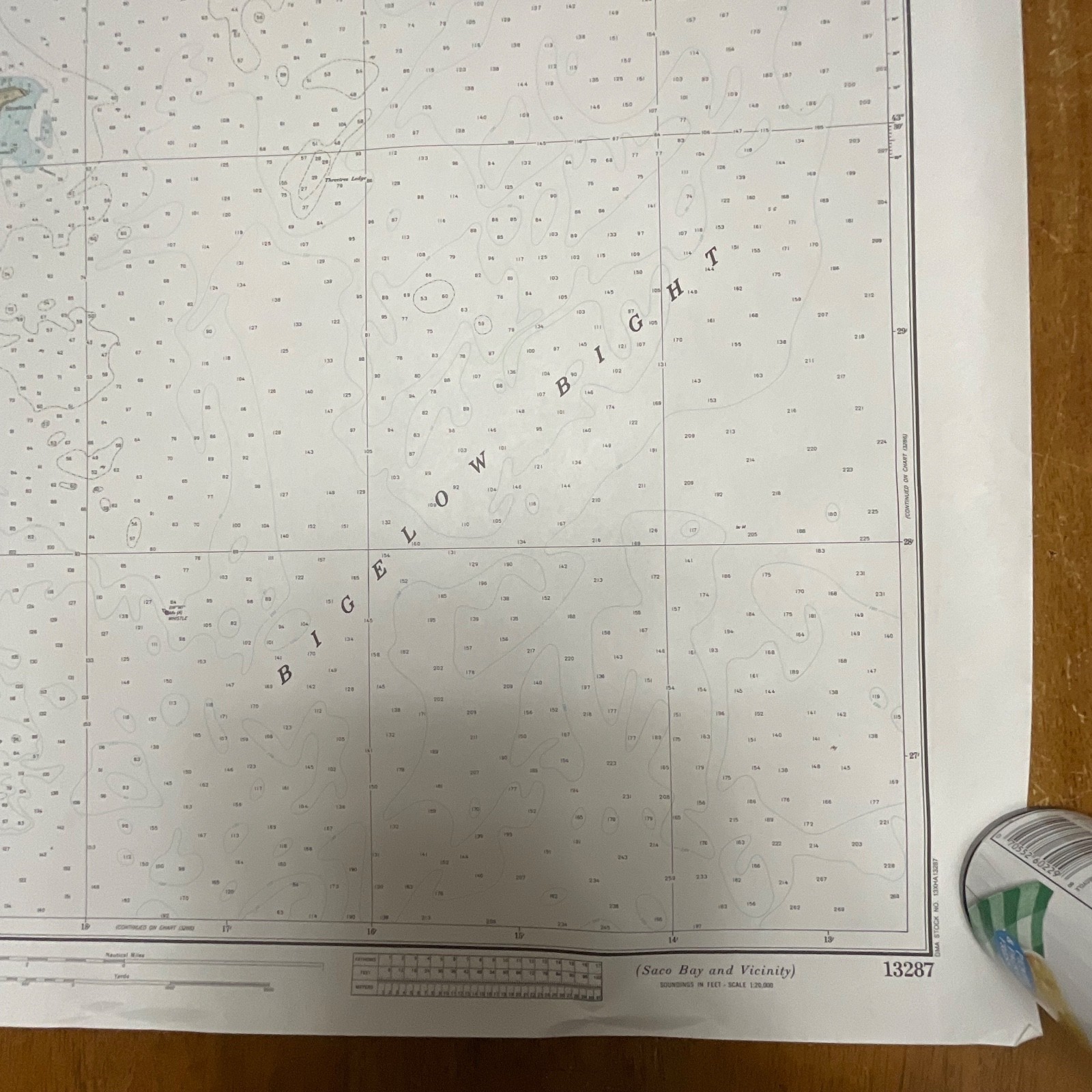
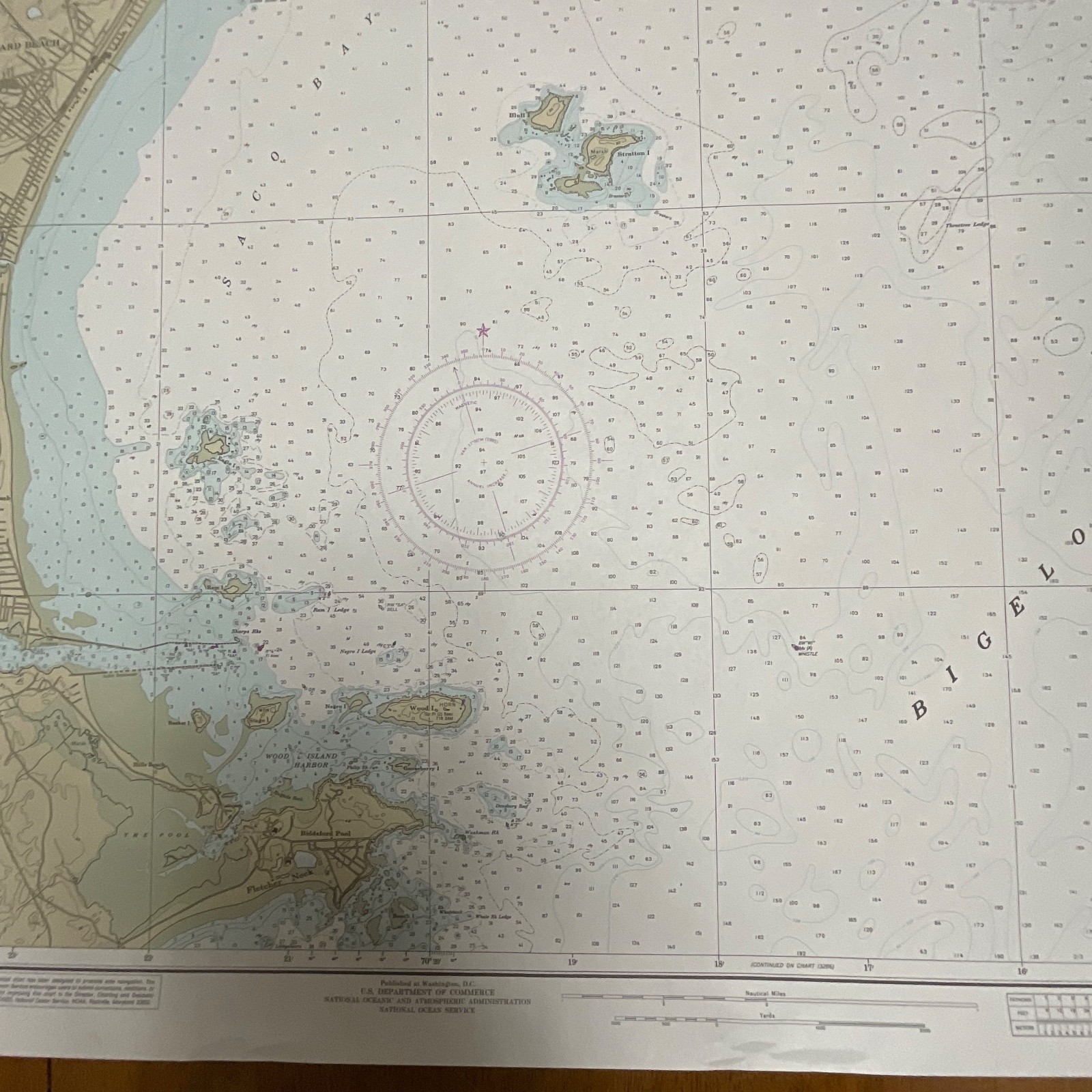
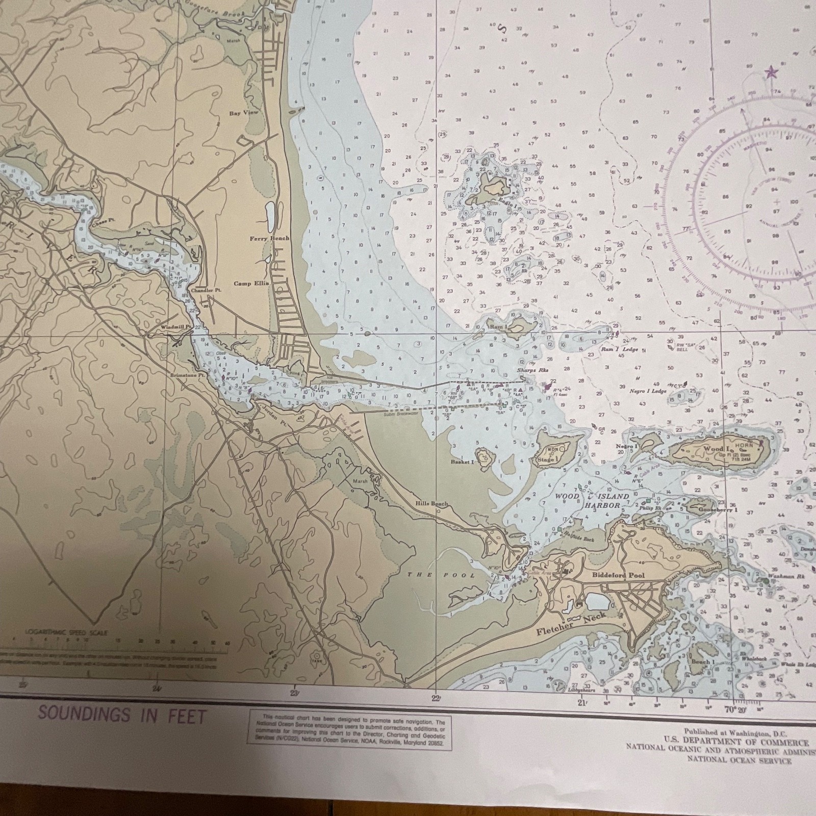
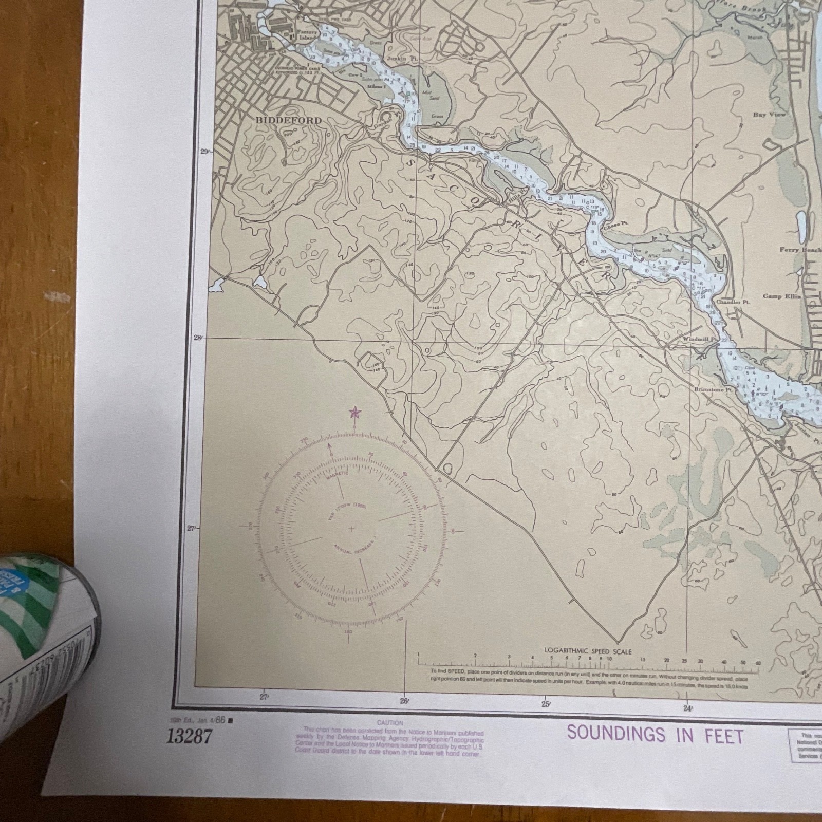
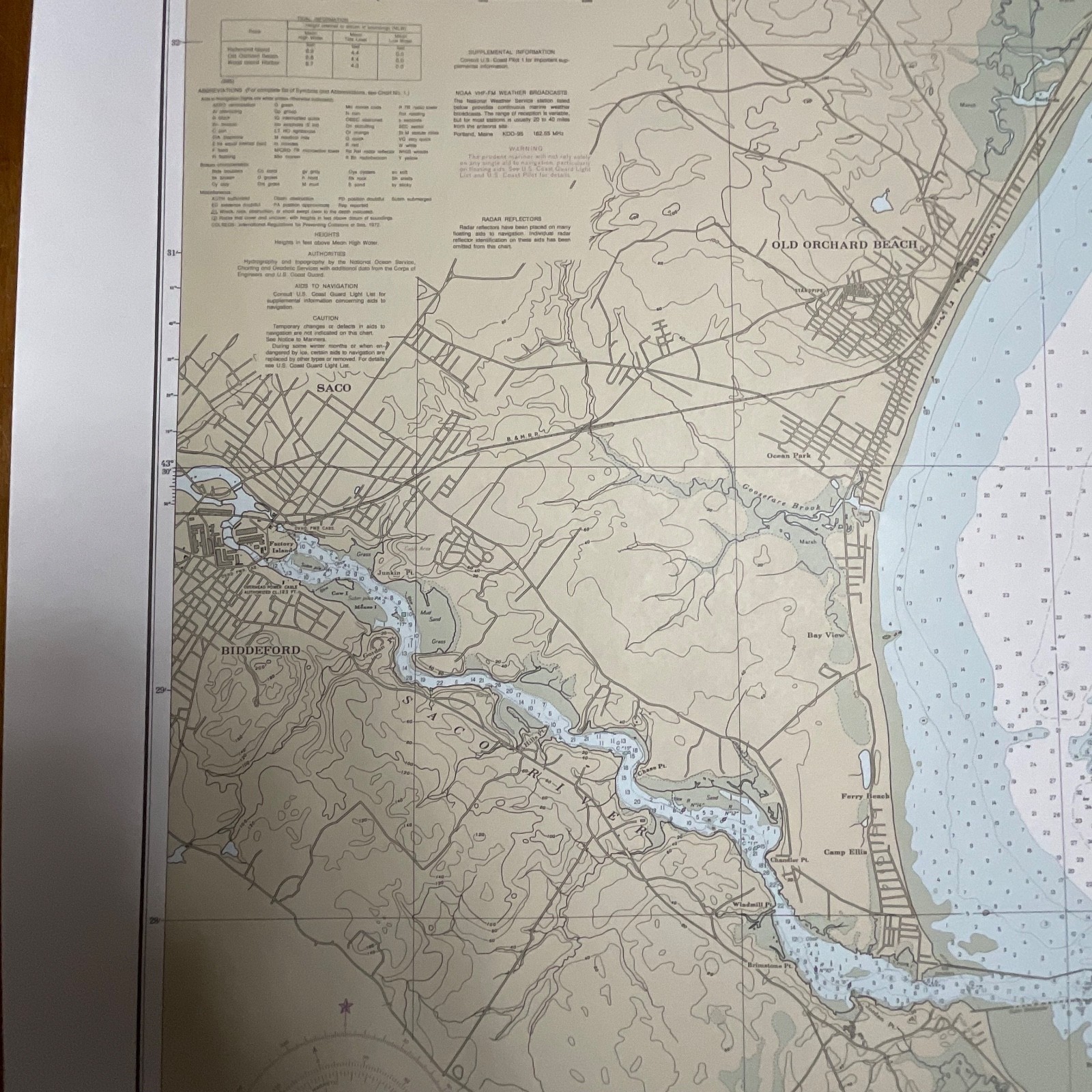
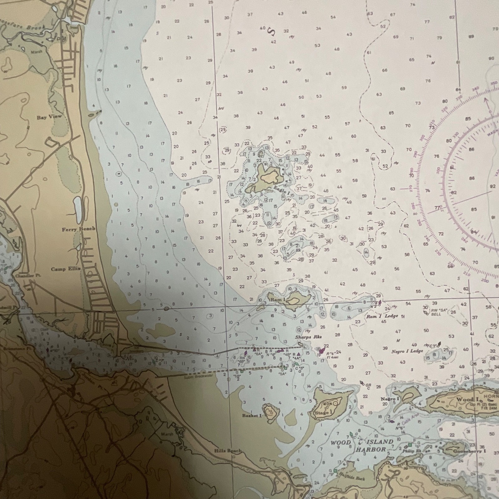
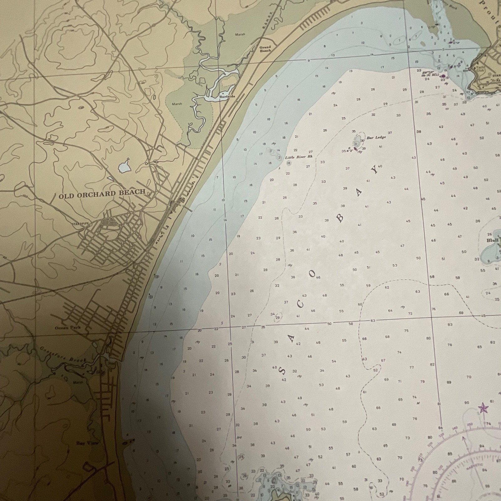
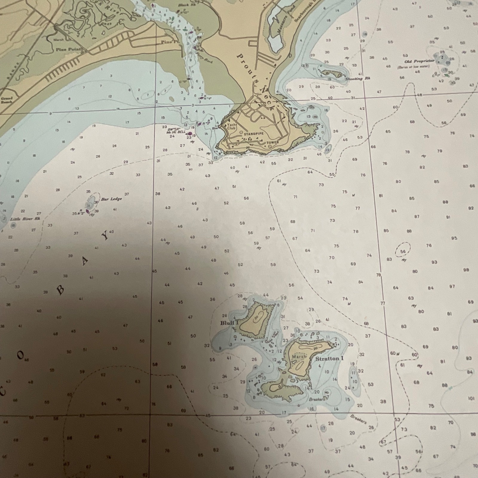
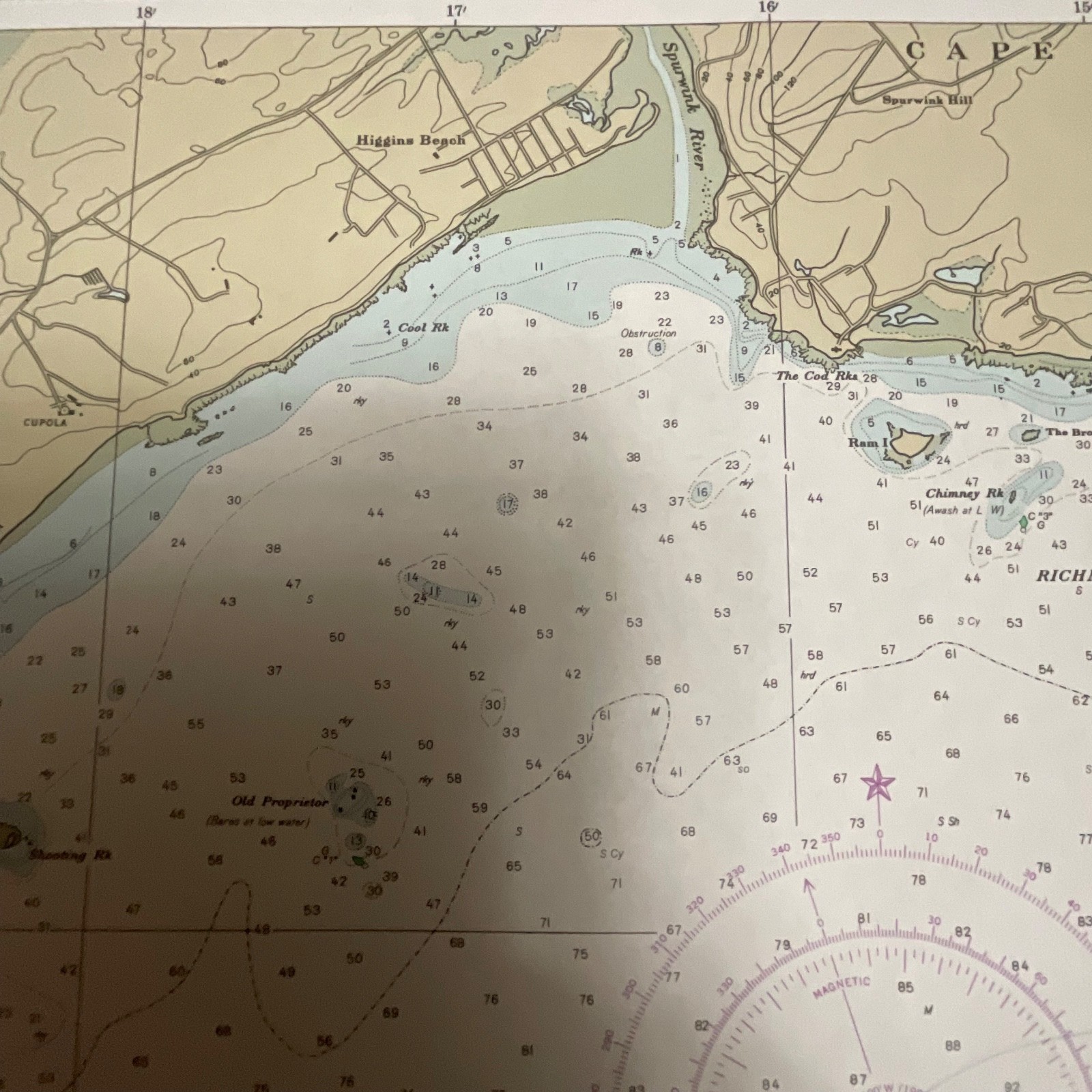
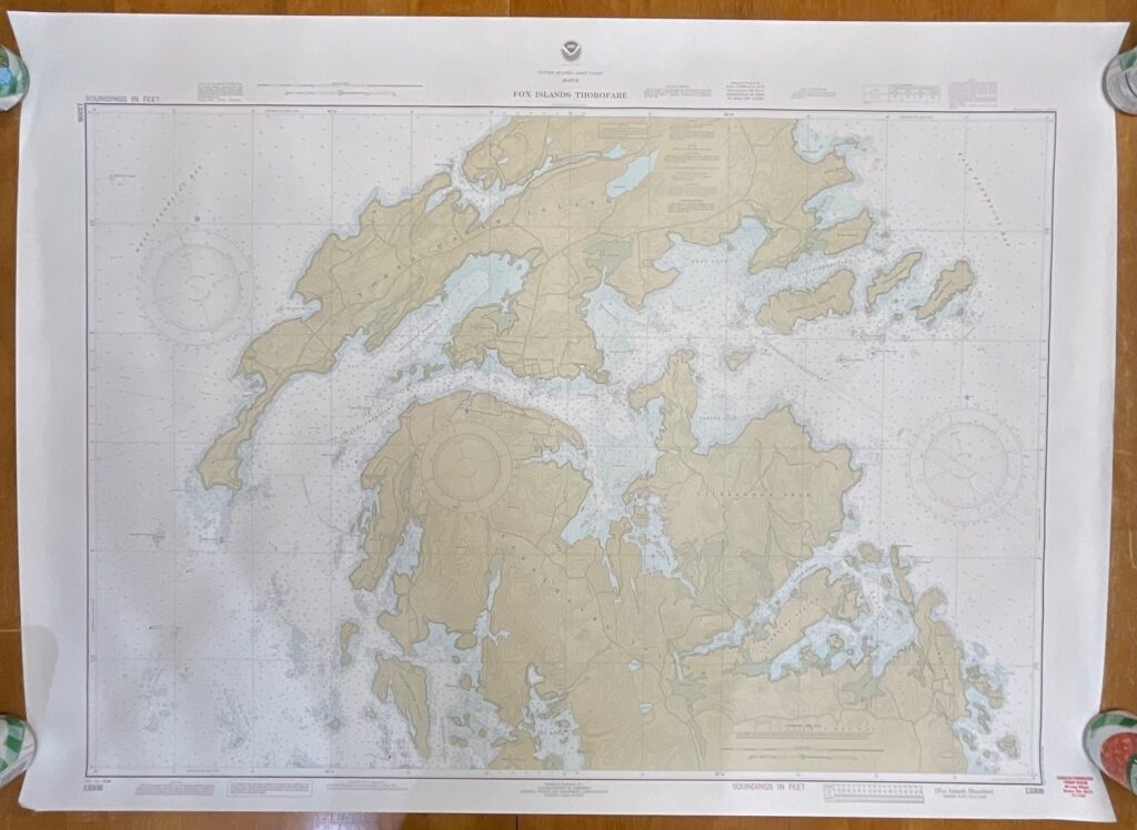
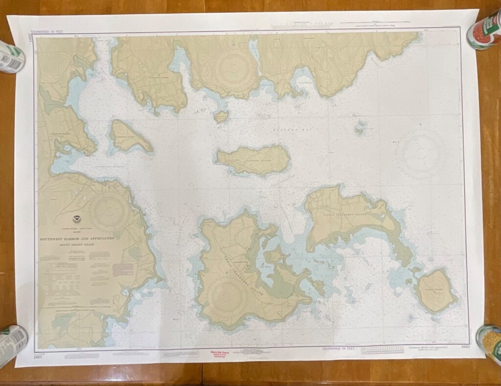
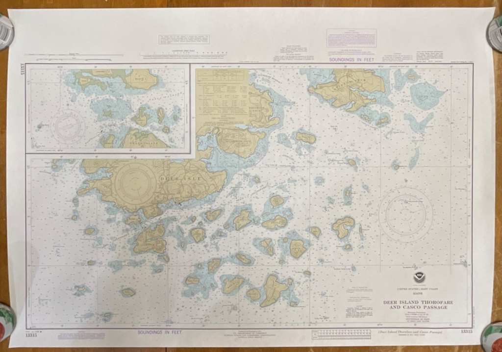
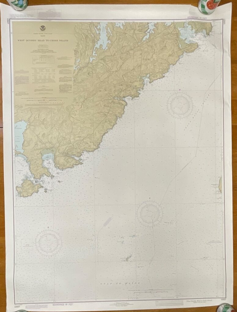
This is an original 1986 NOAA nautical chart titled Saco Bay and Vicinity, covering the coastal region of Maine. The map features the classic NOAA color palette, detailed coastal soundings, labeled landmarks, and maritime navigation markings.
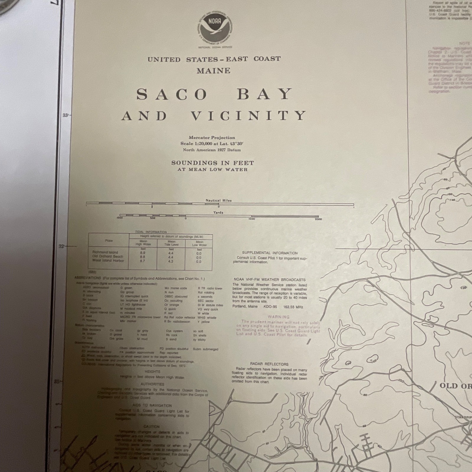
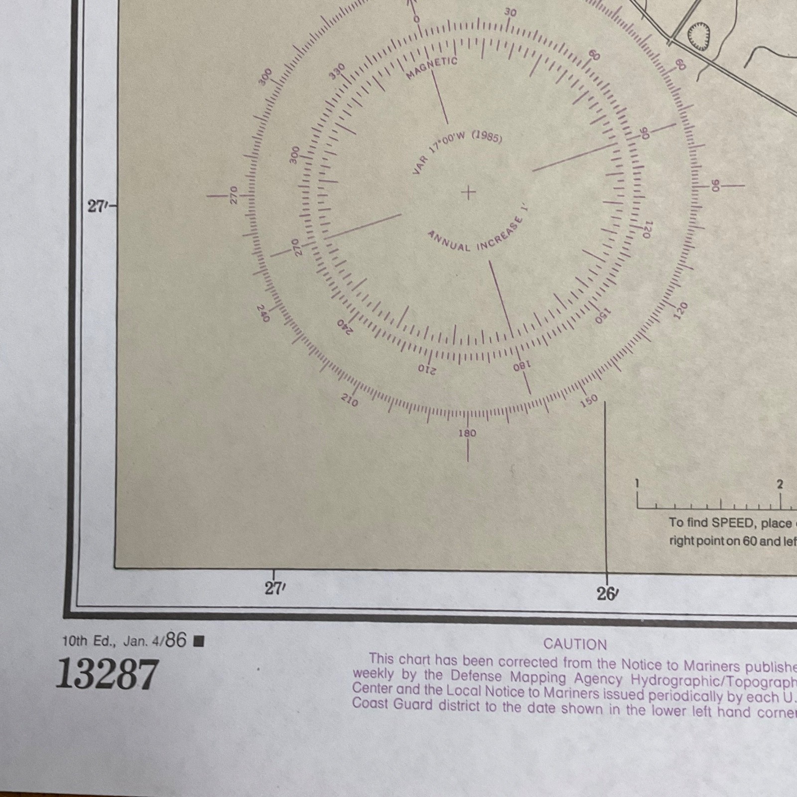
The chart is printed on heavyweight paper and includes NOAA’s chart number 13287, Mercator projection details, and 1985 magnetic variation markings. It shows shoreline features, depth soundings in feet, tide information, and harbor approach details. A light crease and small handling wear may be present, consistent with age.
Measurements: approximately 33in tall x 48in wide.
Ships securely with protective packaging; prompt shipping excluding Federal Holidays.
Condition Description
Vintage pre-owned condition with expected light handling wear. No major flaws observed in the images. Please review all photos for exact condition before purchase.
Item Specifics
• Category: Collectibles → Maps & Atlases → United States
• Type: Nautical Chart
• Style: Maritime Navigation Map
• Material: Heavy paper
• Color: Multicolor (NOAA chart tones)
• Size: 33in x 48in
• Era: 1986
• Occasion: Maritime use, décor, cartography reference
• Gender/Unisex: Unisex
• Brand/Signature: NOAA (National Oceanic and Atmospheric Administration)
• Country/Region: United States (Maine)
• Chart Number: 13287
• UPC: Not present/visible

Reviews
There are no reviews yet.