
Description
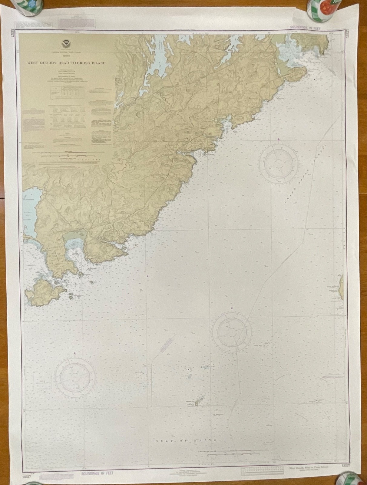
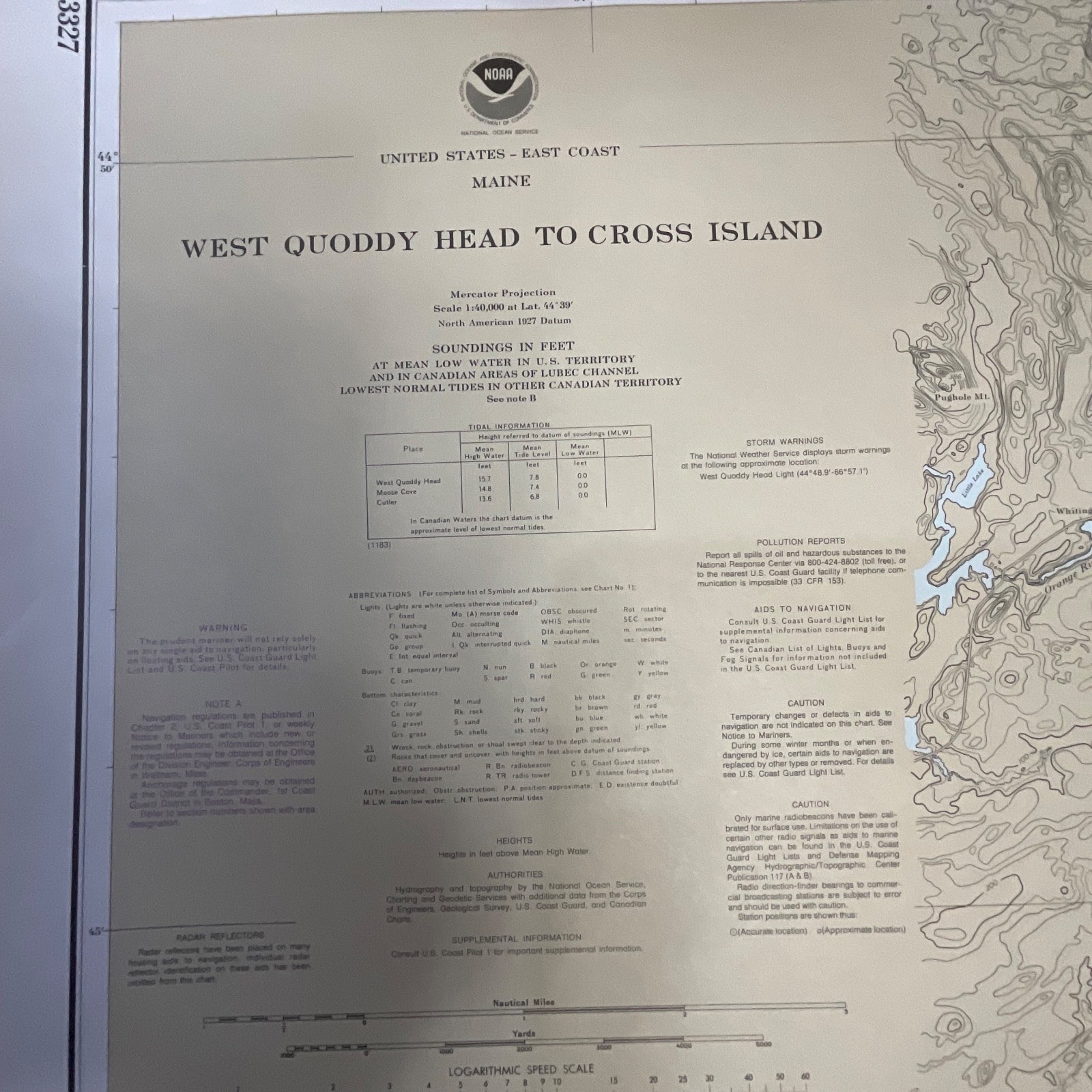
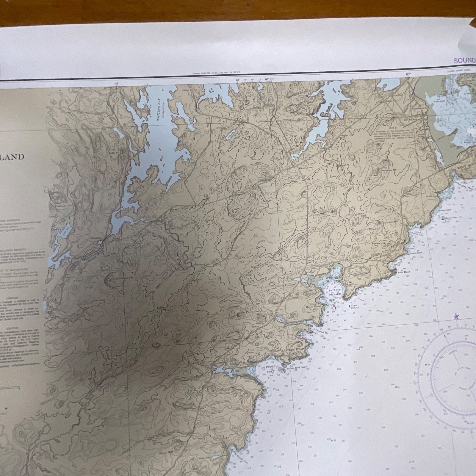
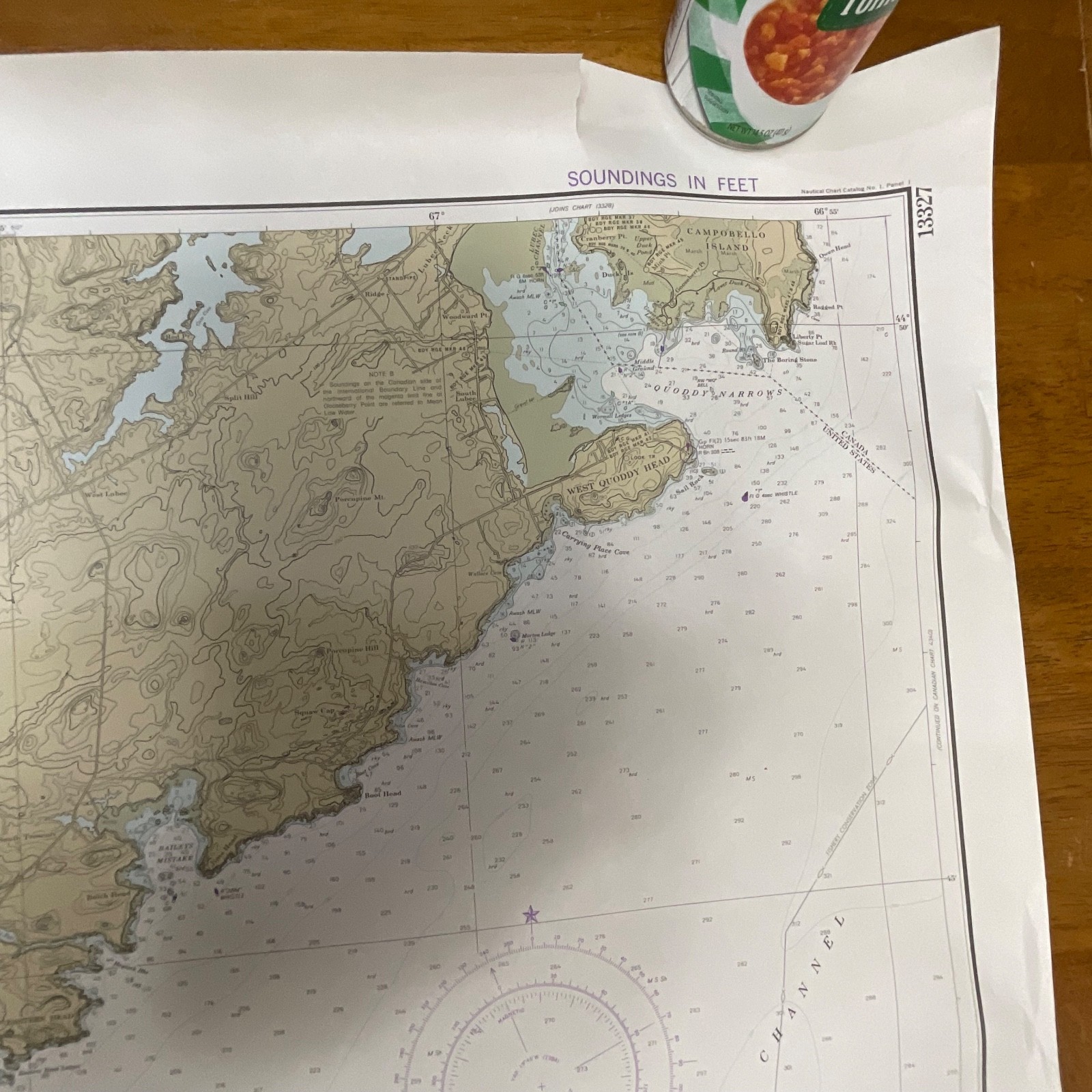
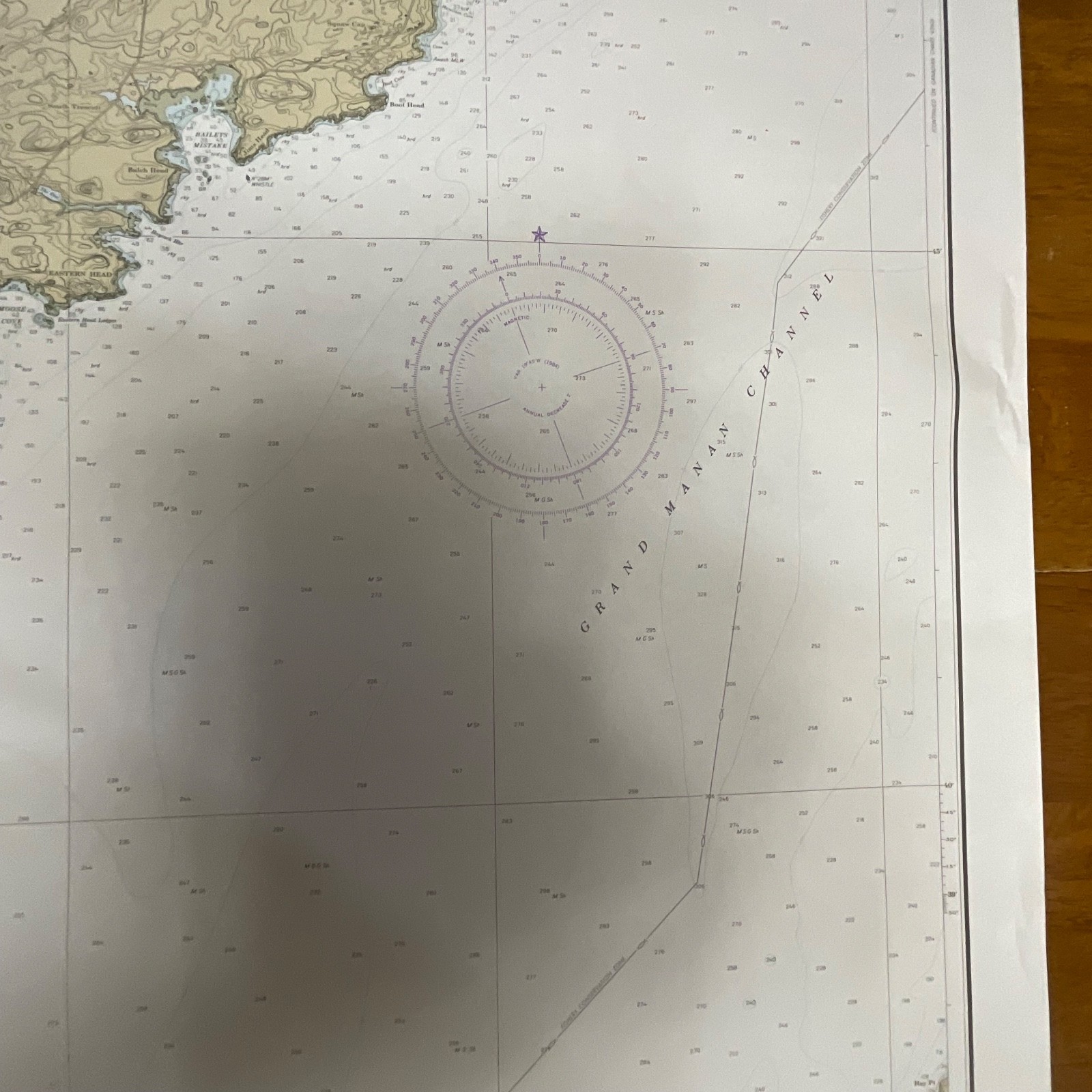
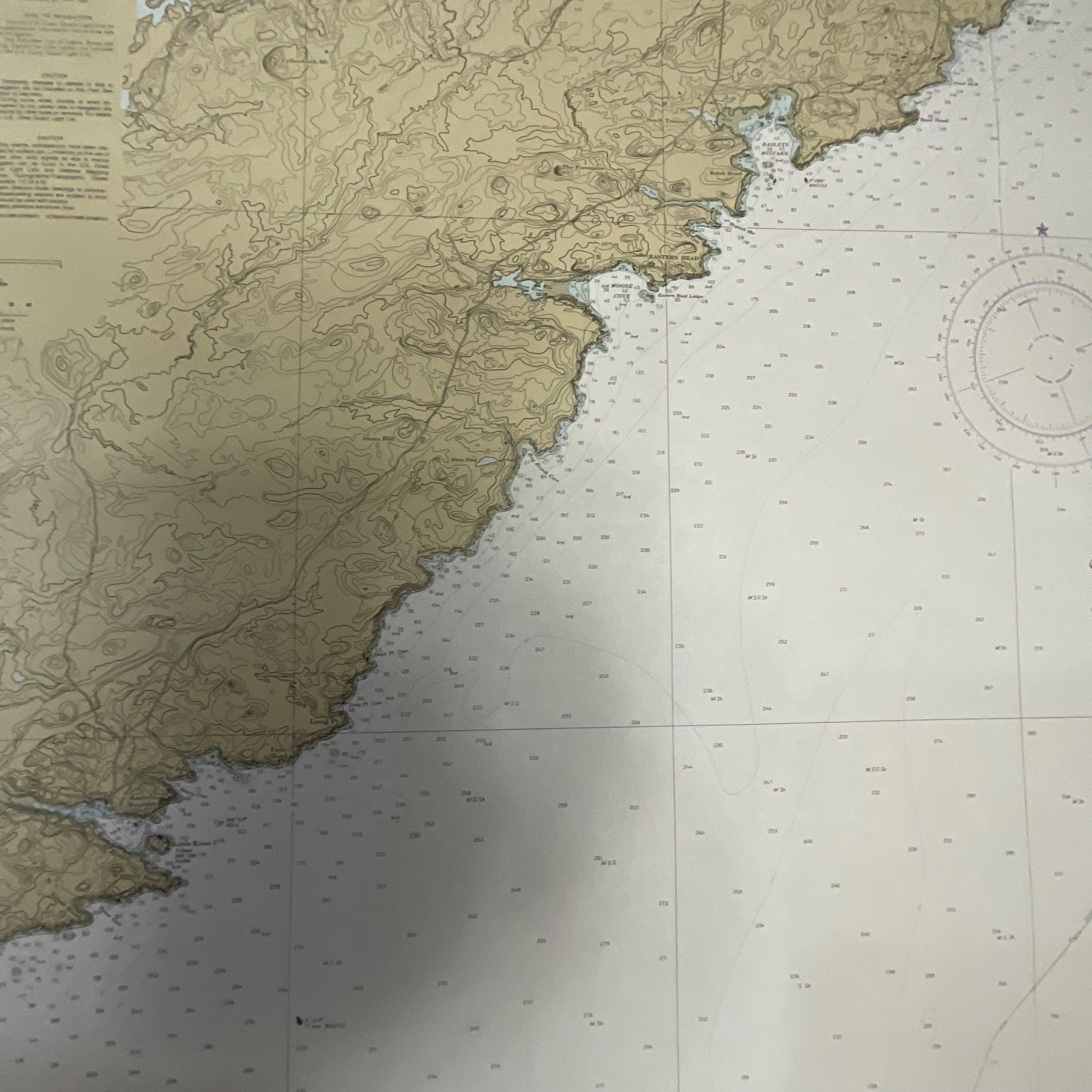
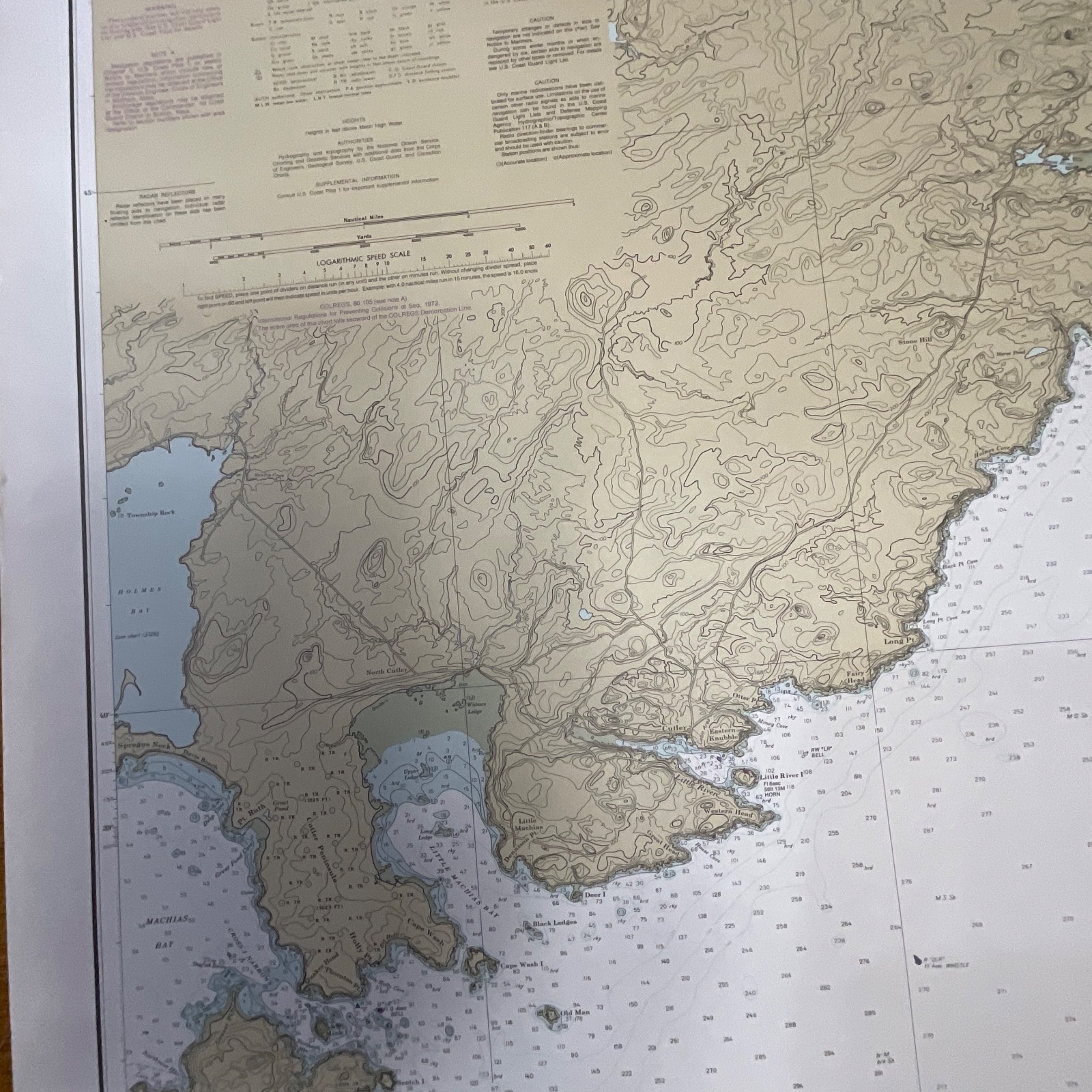
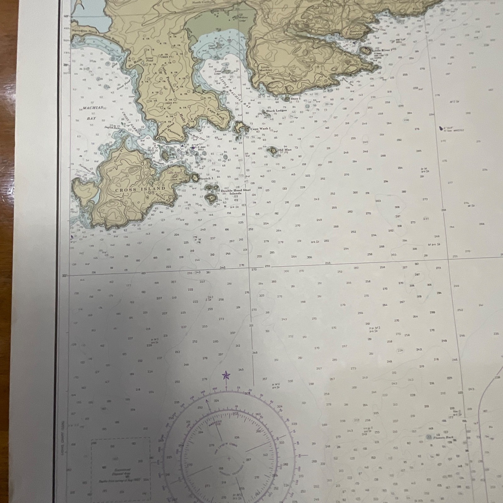
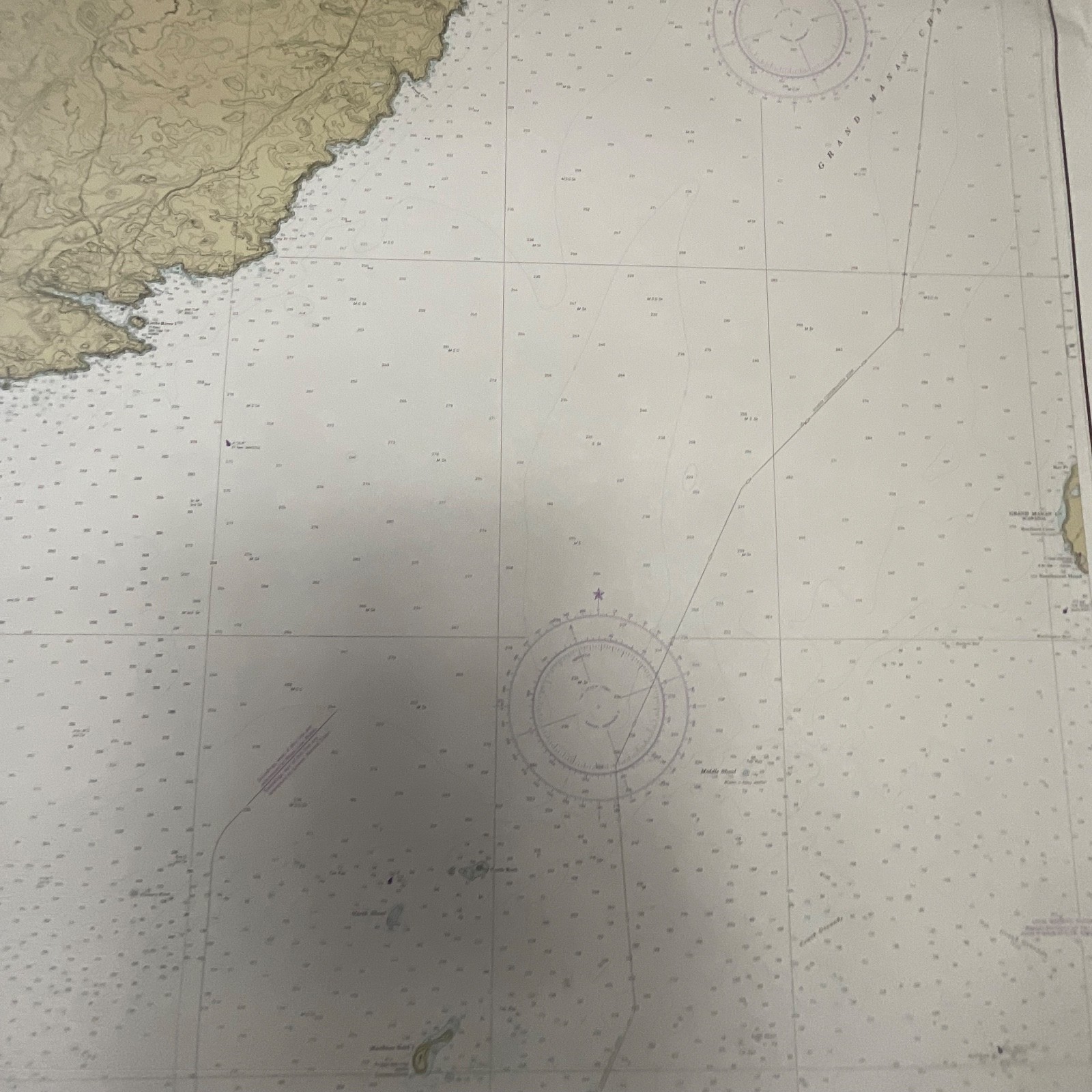
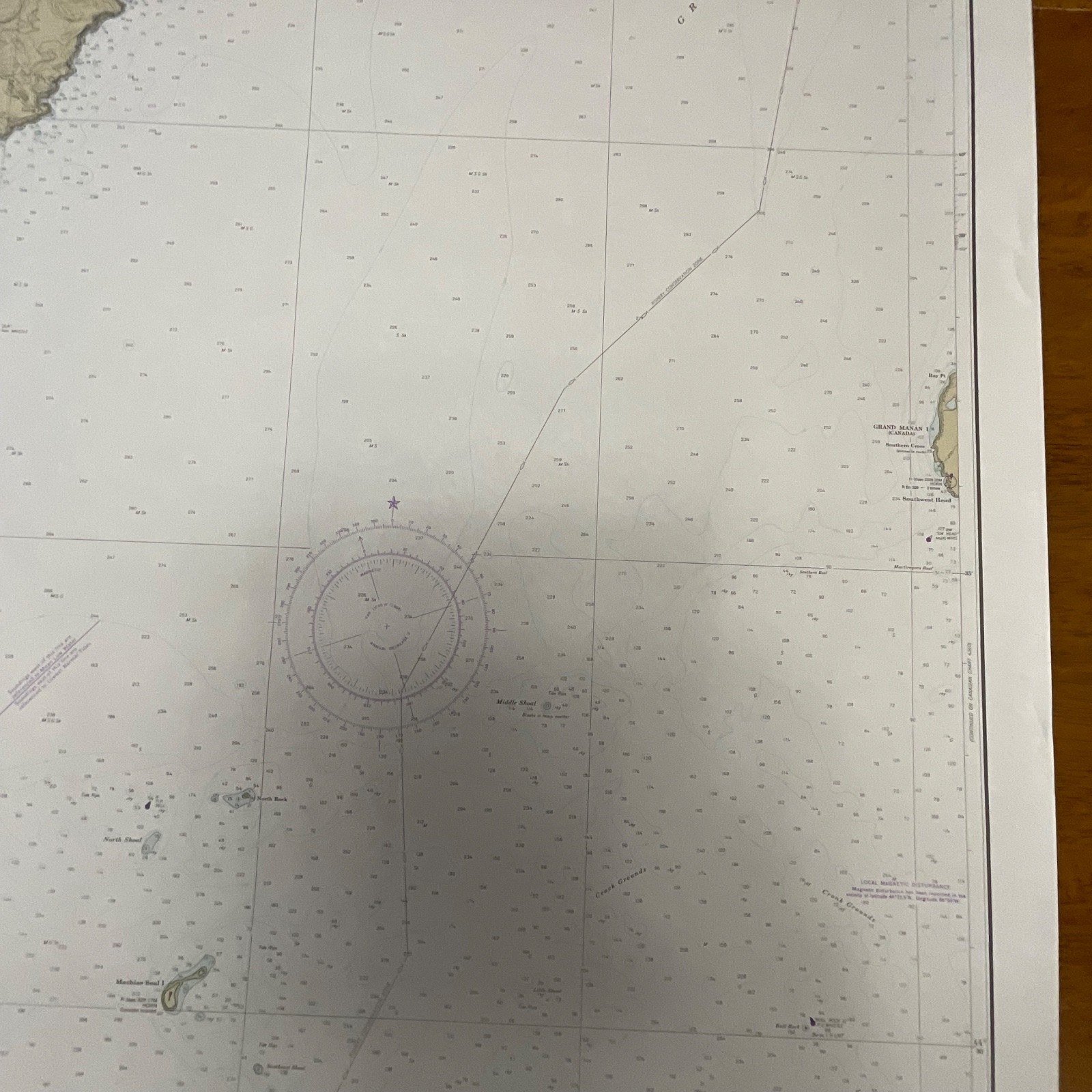
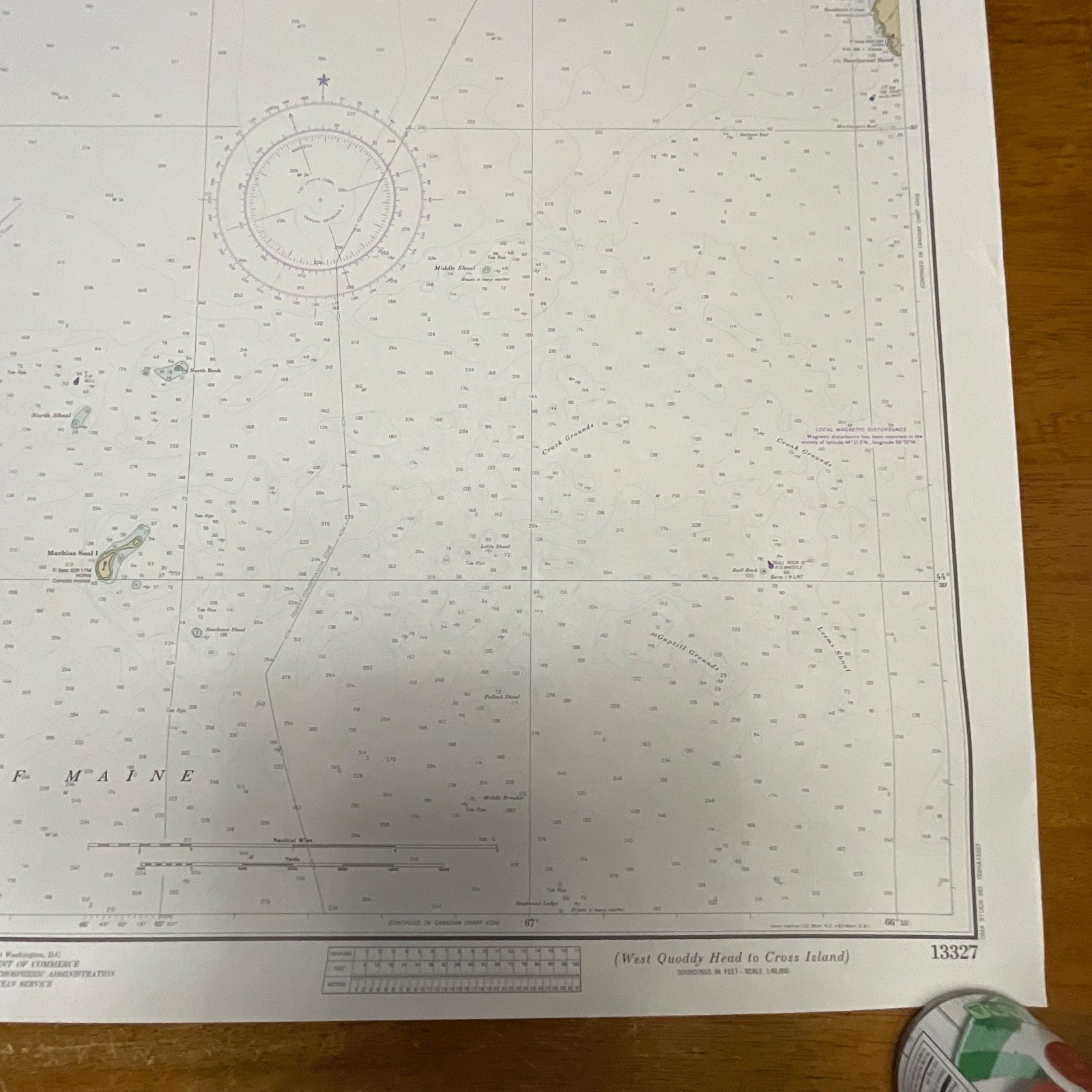
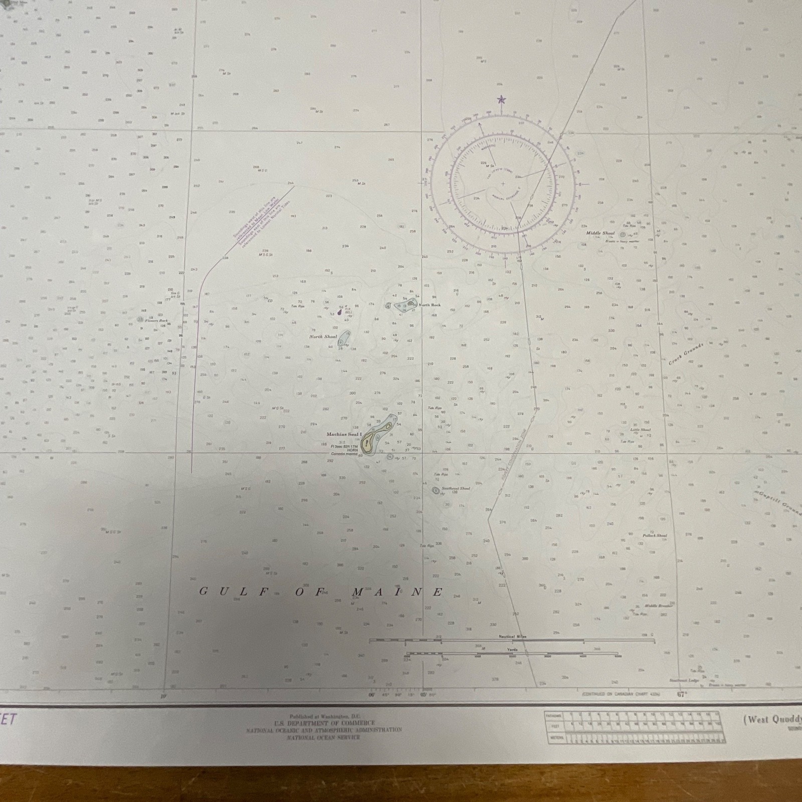
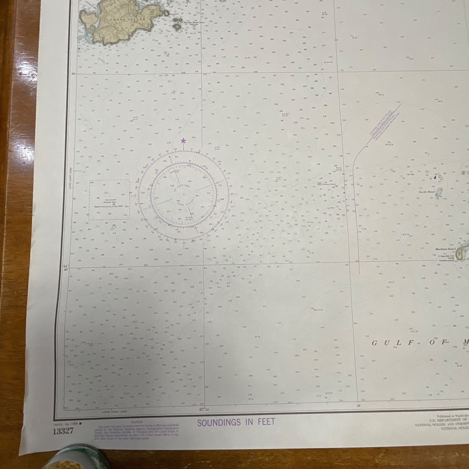
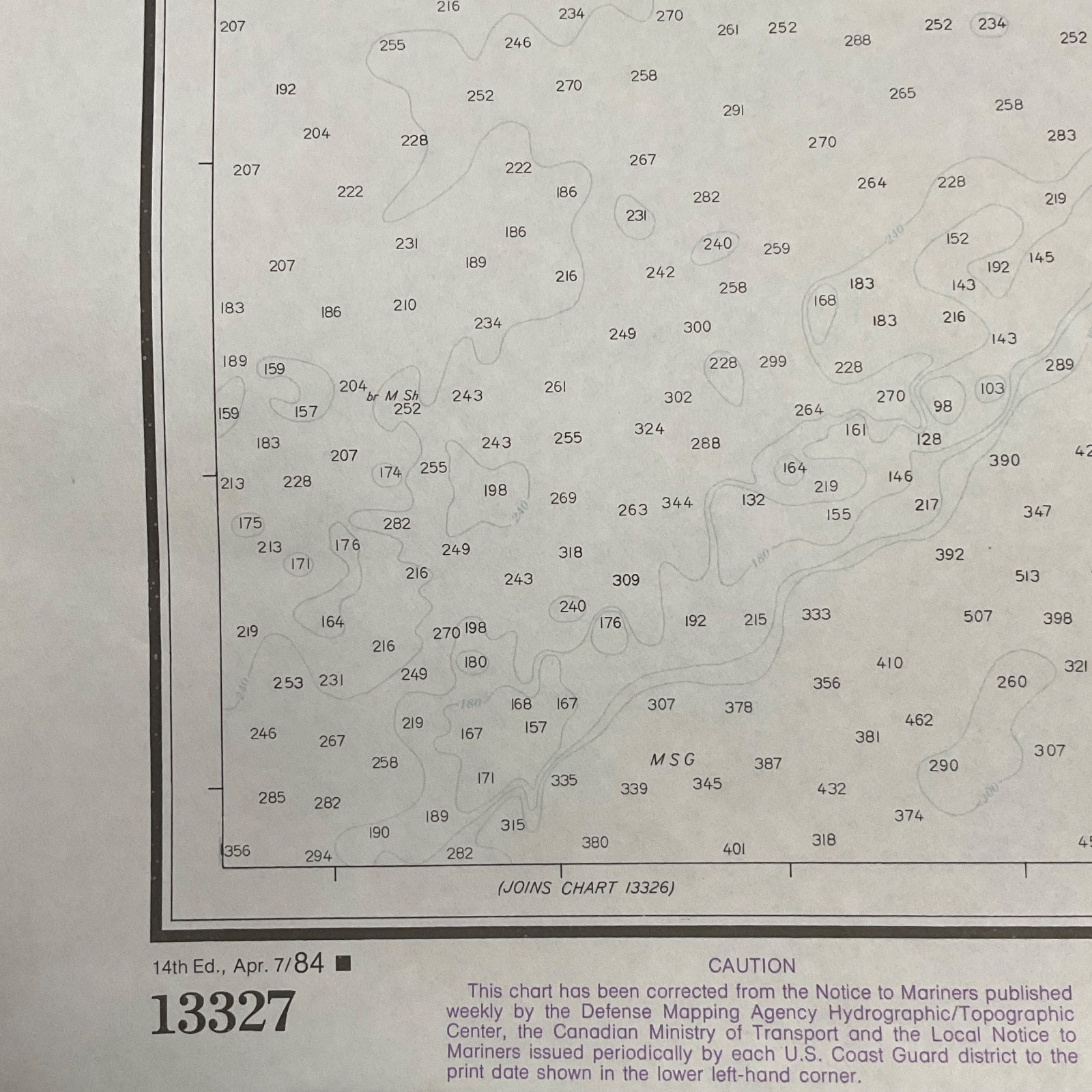
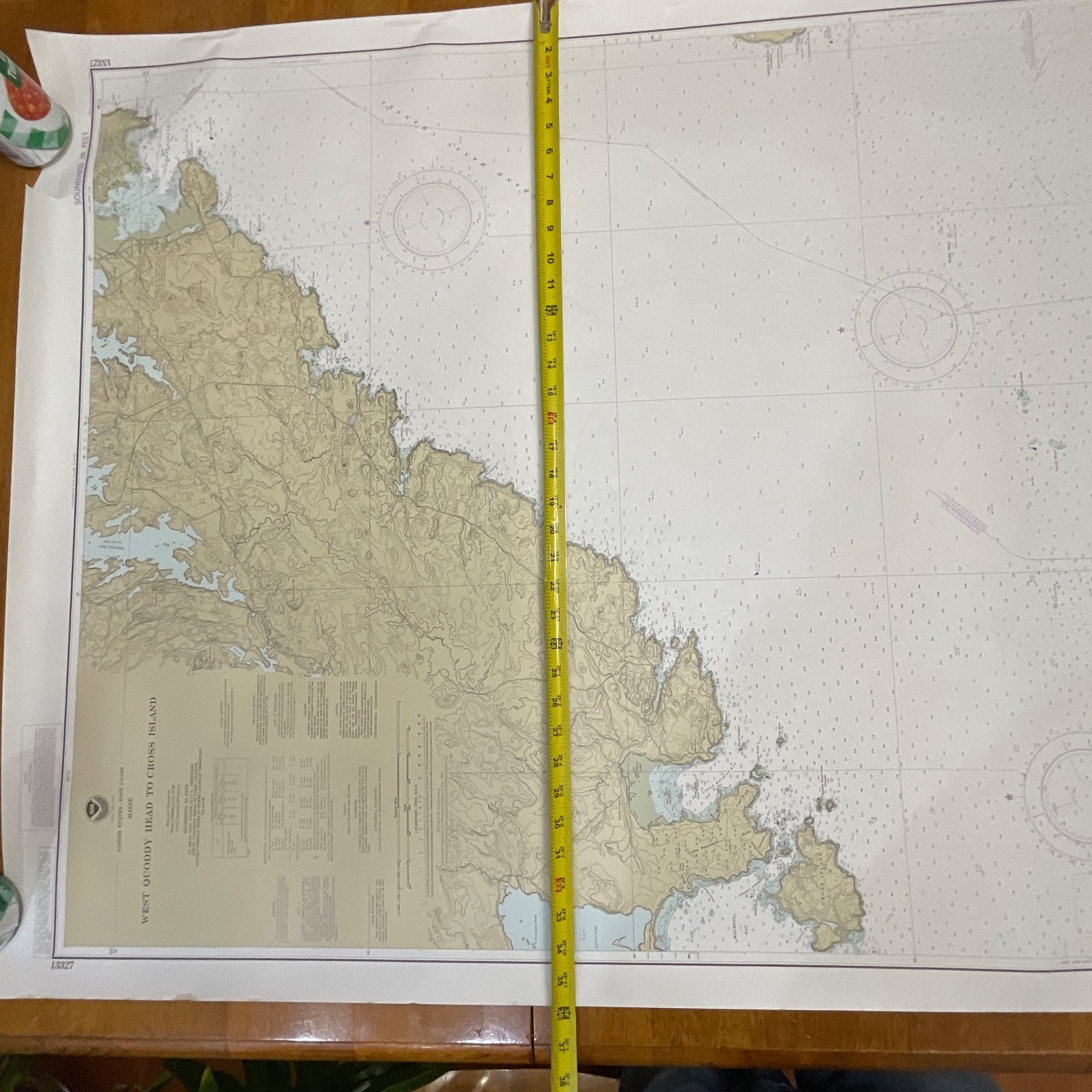
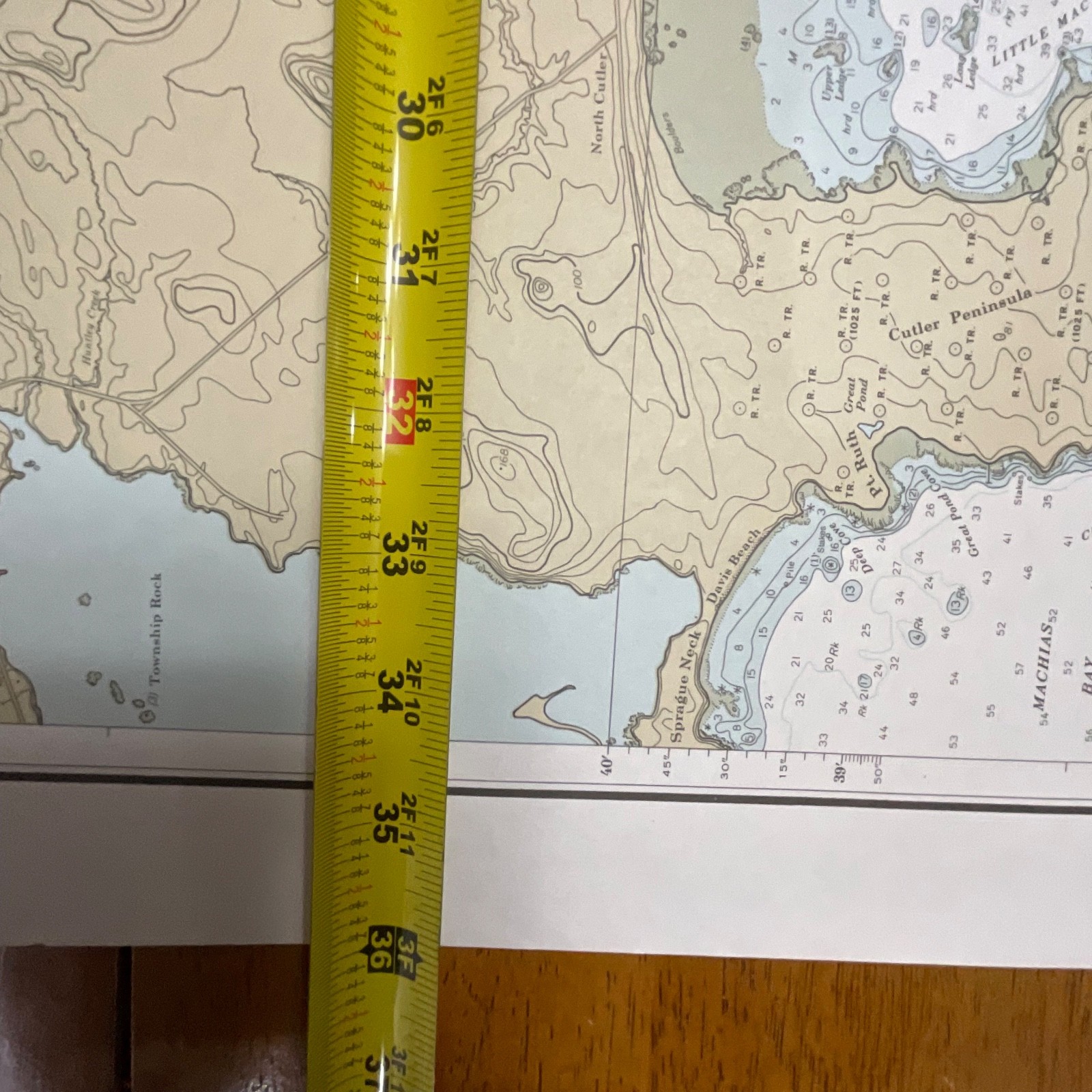
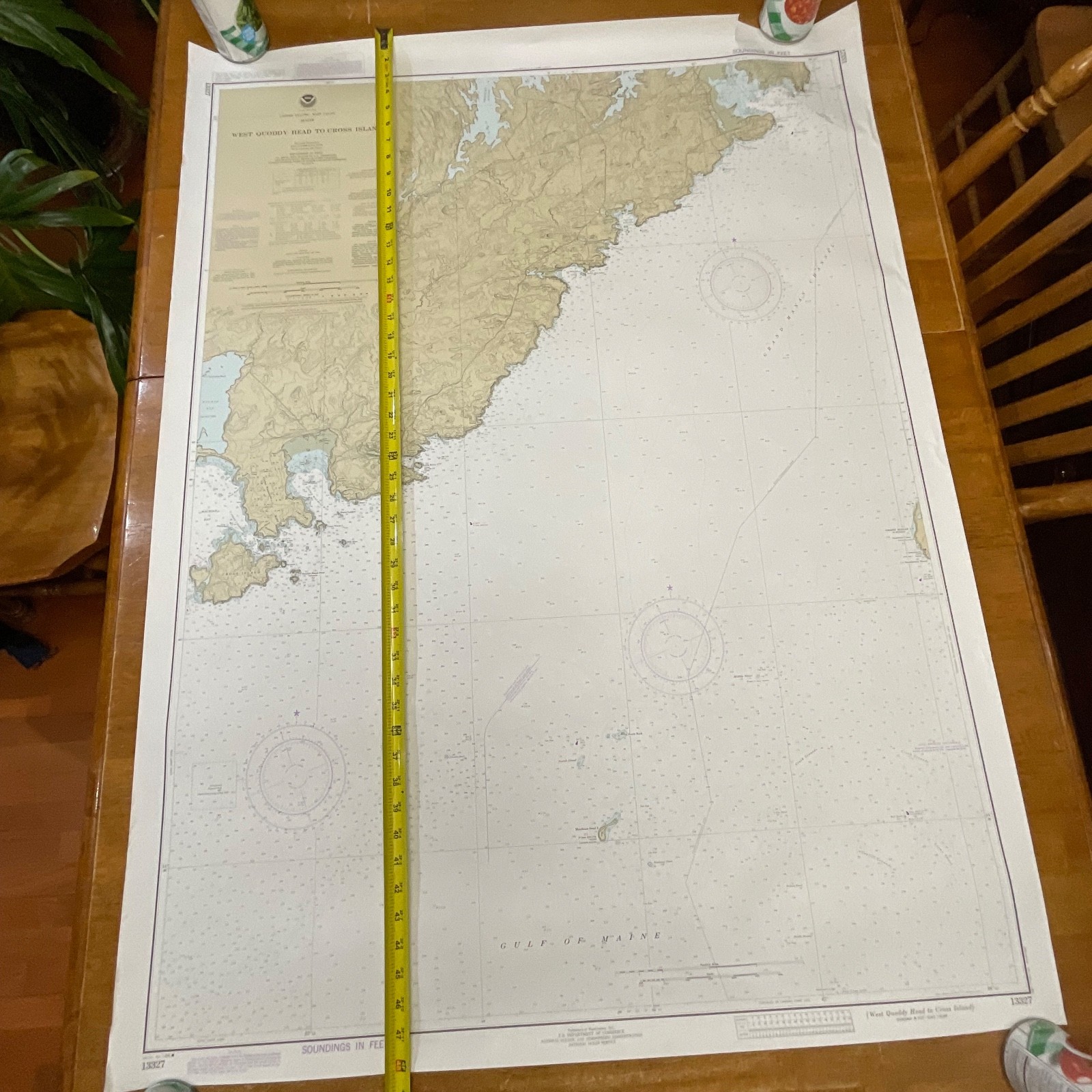
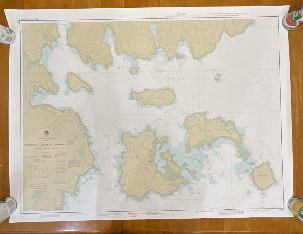
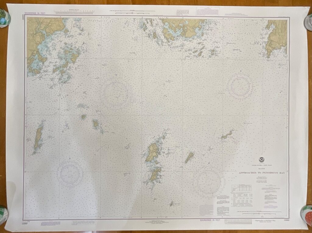
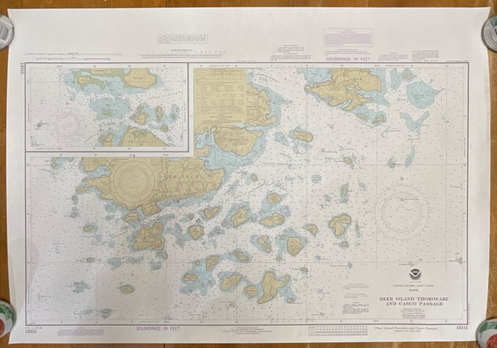
This is an original 1984 NOAA nautical chart covering West Quoddy Head to Cross Island on the coast of Maine, chart number 13327. It features detailed topographic shading, depth soundings in feet, navigation notes, and the classic NOAA layout from this era. Printed on sturdy chart paper, it presents coastal elevations, marine hazards, and depth contours with excellent clarity.
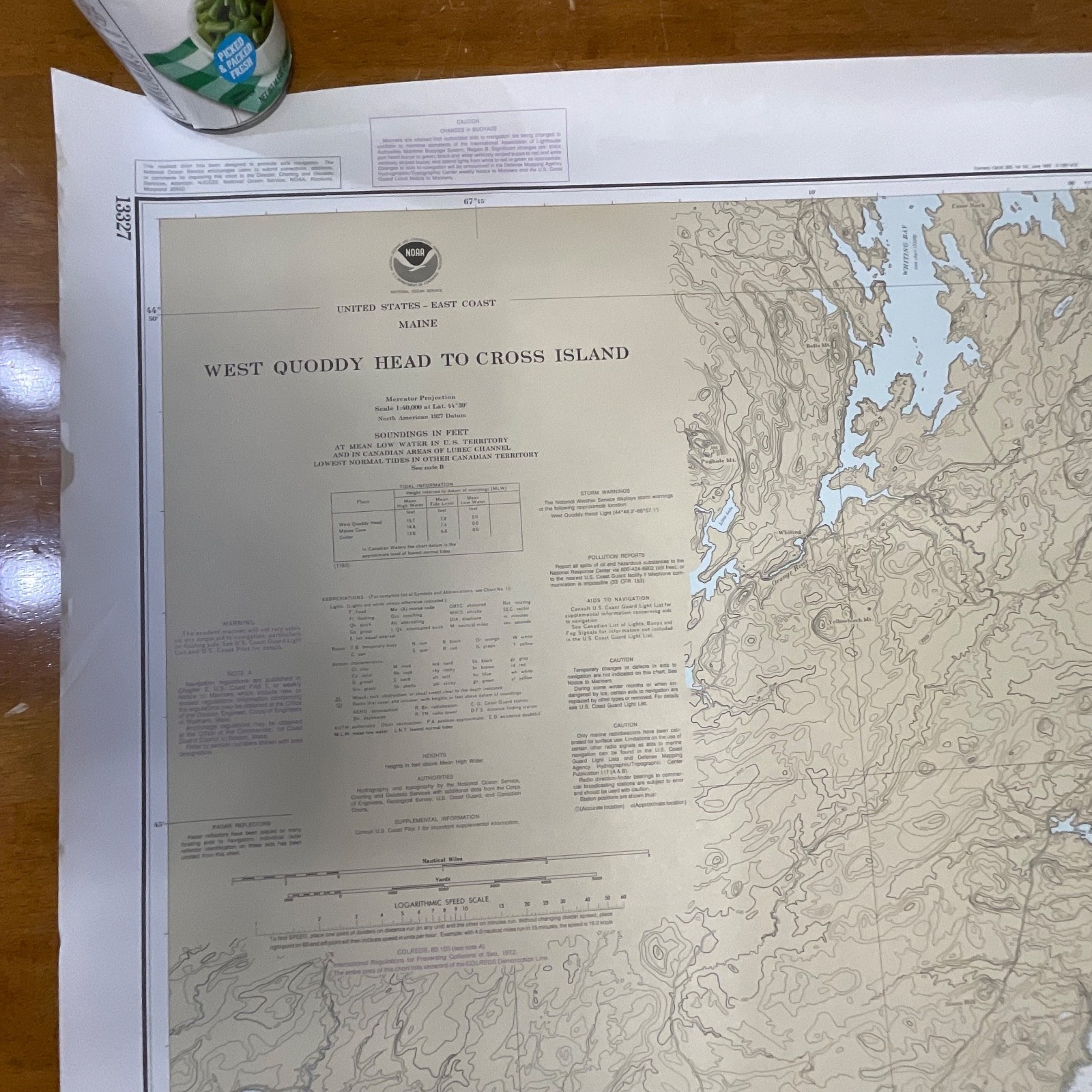
The chart includes the 14th Edition print date of Apr. 7, 1984, full NOAA titling, Mercator projection information, tidal data, and correction notices. A small 2in tear is present at the upper right corner, as shown in the photos, but the body of the chart remains clean and fully legible.
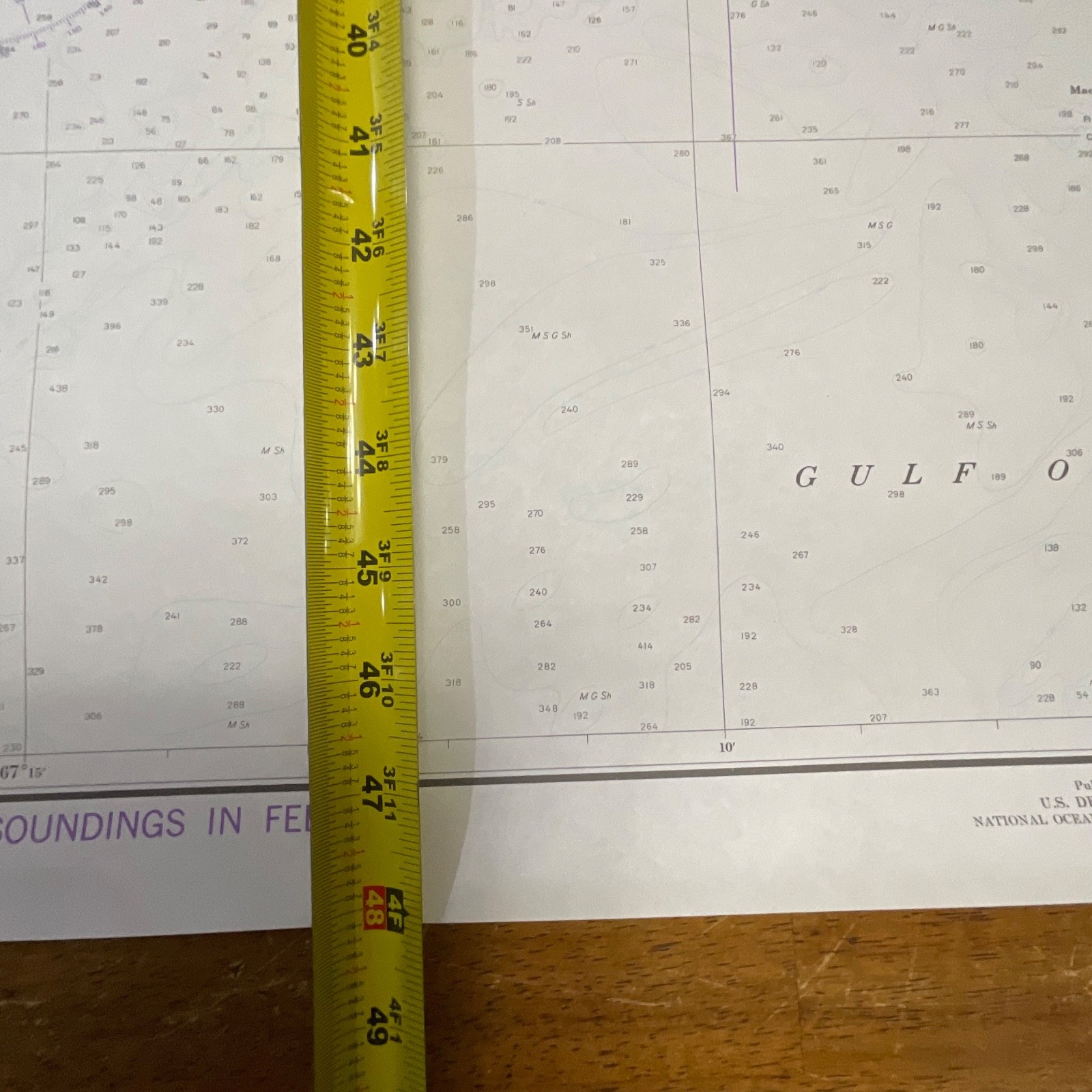
Measurements: approximately 36in x 48in.
Ships securely with protective packaging; prompt shipping excluding Federal Holidays.
Condition Description
Pre-owned vintage condition with a small 2in tear at the top right corner and minor edge wear from storage. Chart surface remains clean with no major damage to printed areas. Please review all photos for exact condition before purchase.
Item Specifics
• Category: Collectibles → Transportation → Maps & Atlases → Nautical Charts
• Type: NOAA Nautical Chart
• Style: Mercator Projection Chart
• Material: Paper
• Color: Multicolor (tan land/blue water/black linework)
• Size: 36in x 48in
• Era: 1980s
• Occasion: Maritime navigation, décor, charting reference
• Gender/Unisex: Unisex
• Brand: NOAA (National Oceanic and Atmospheric Administration)
• Country/Region of Manufacture: United States
• Chart Number: 13327
• Edition: 14th Edition, Apr. 7, 1984
• UPC: Not present/none visible

Reviews
There are no reviews yet.