
Description
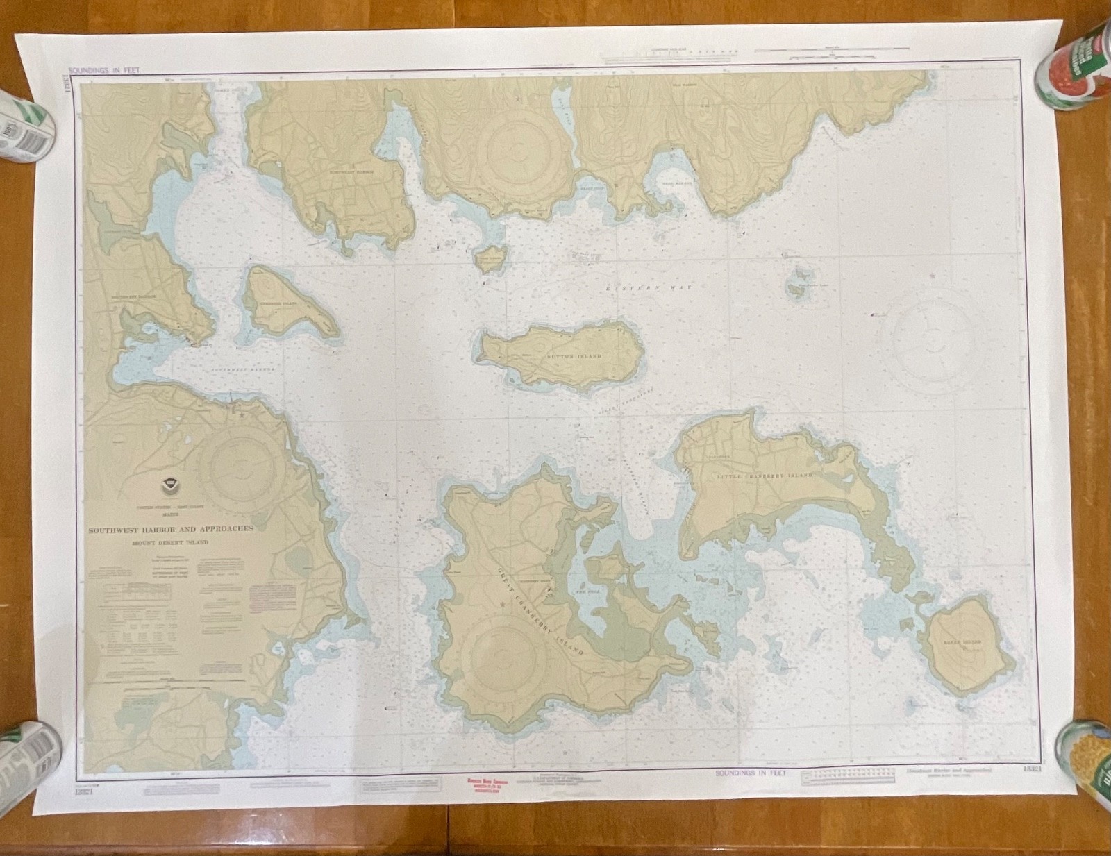
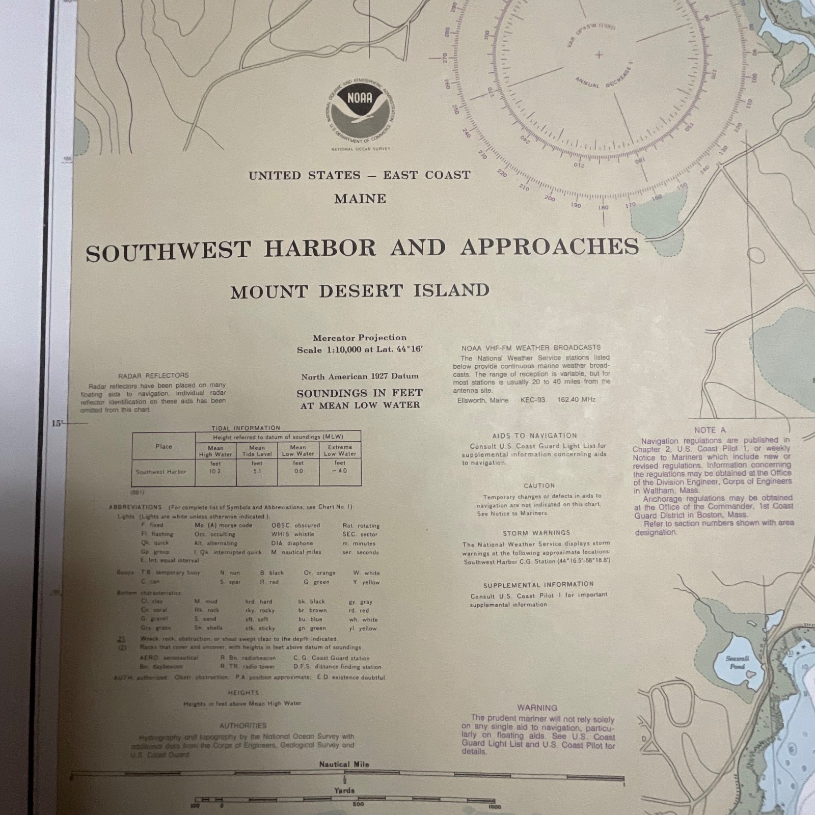
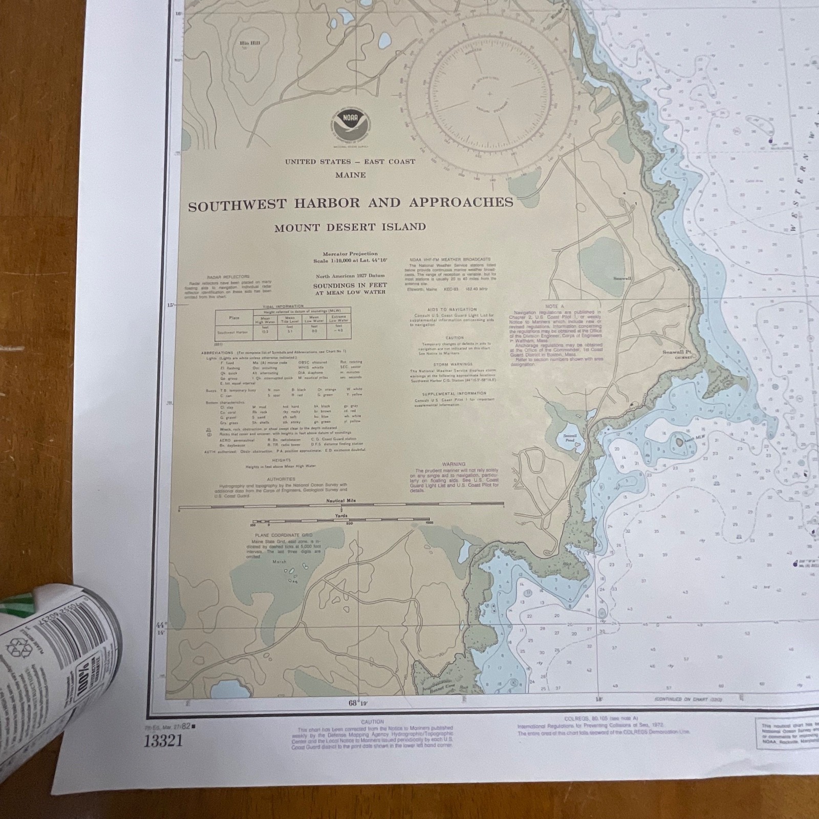
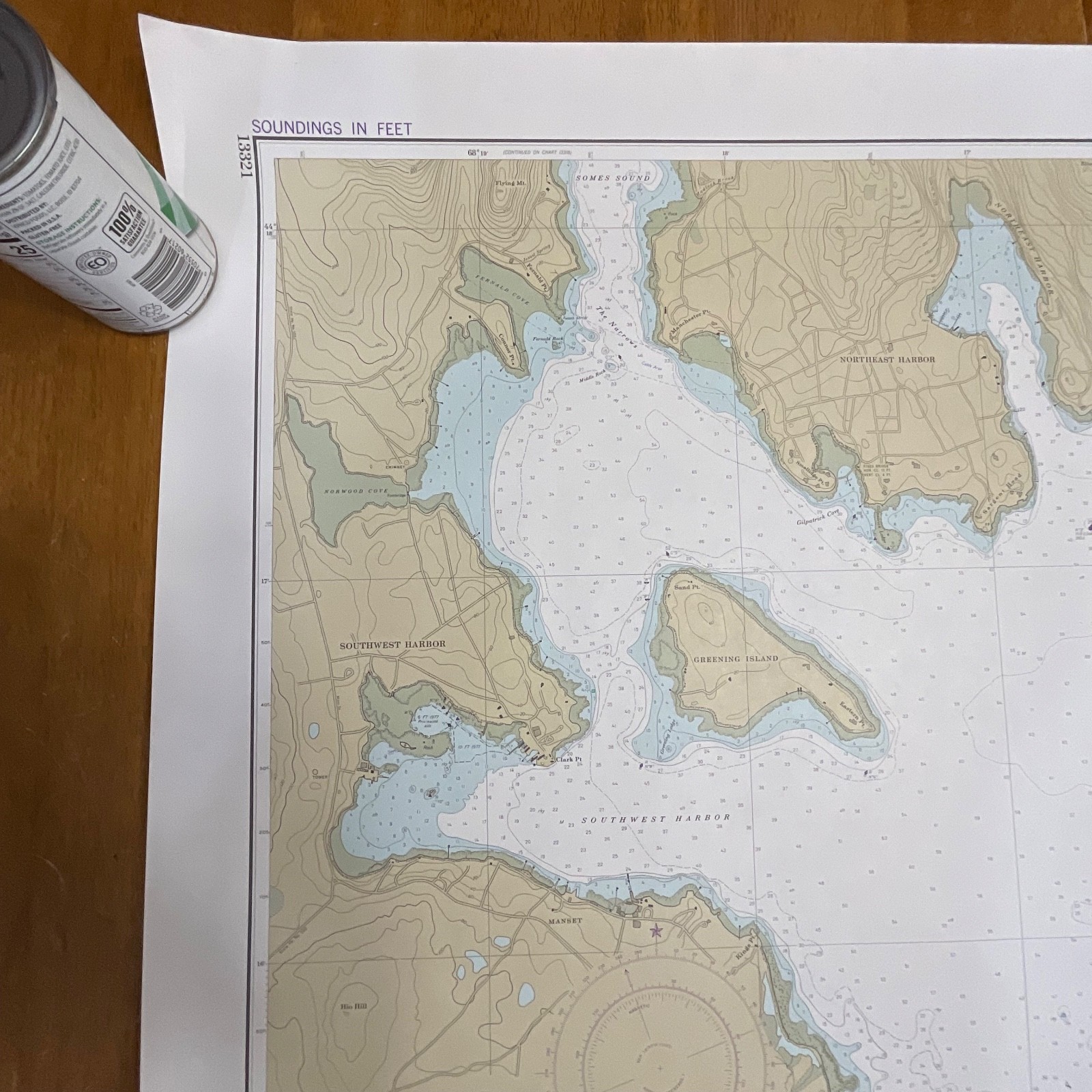
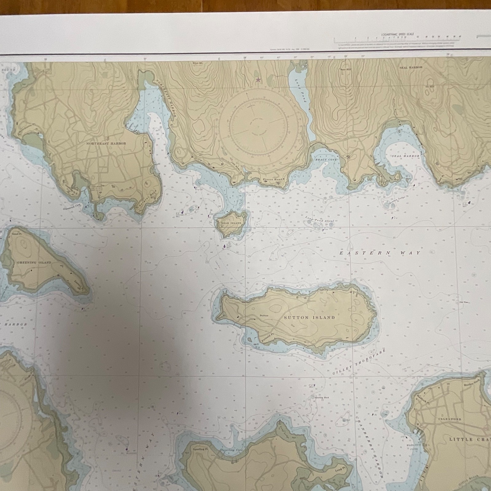
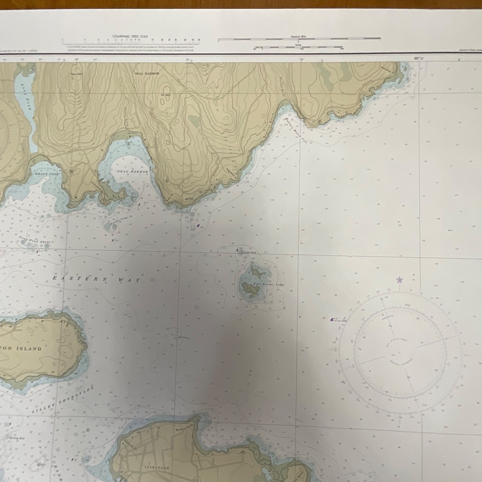
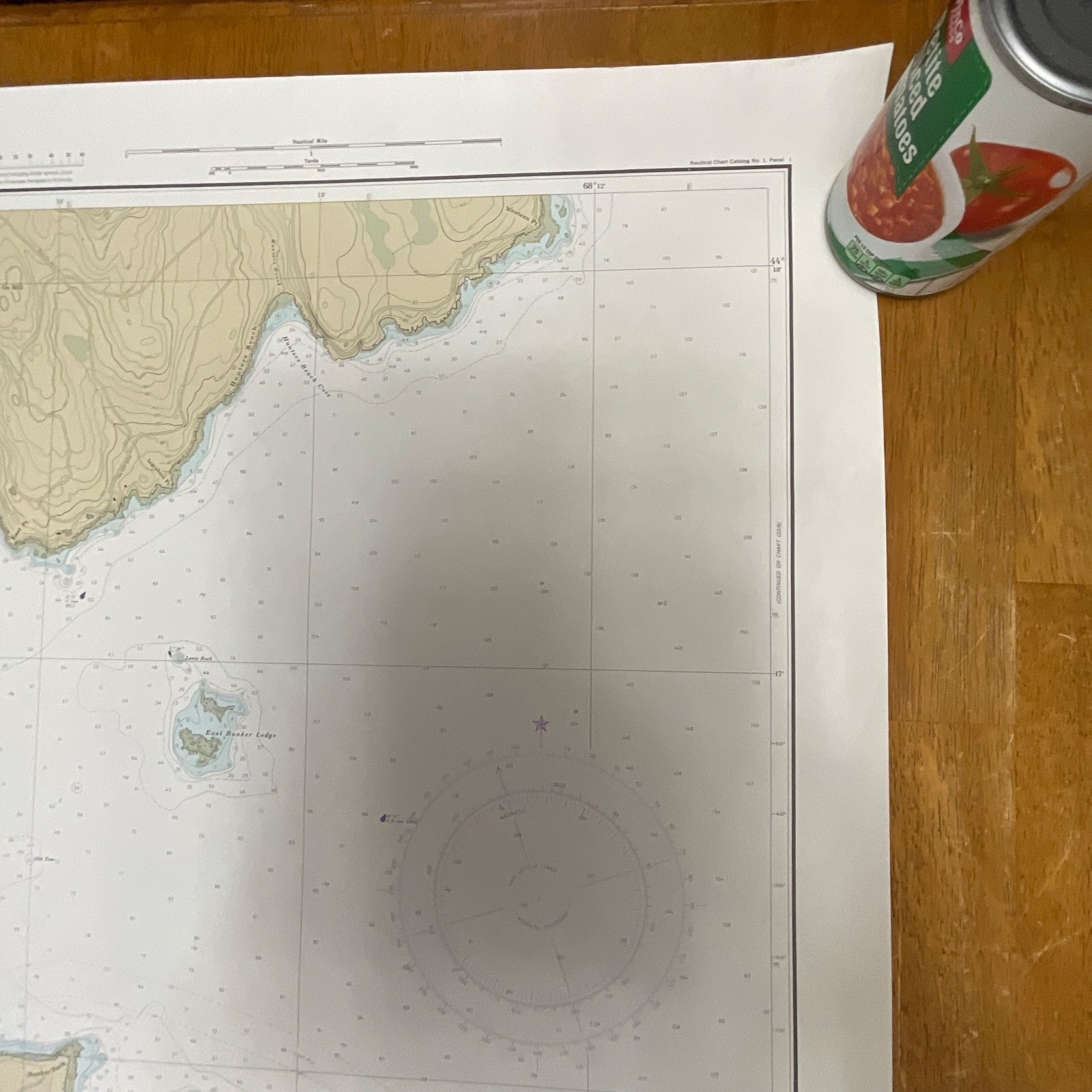
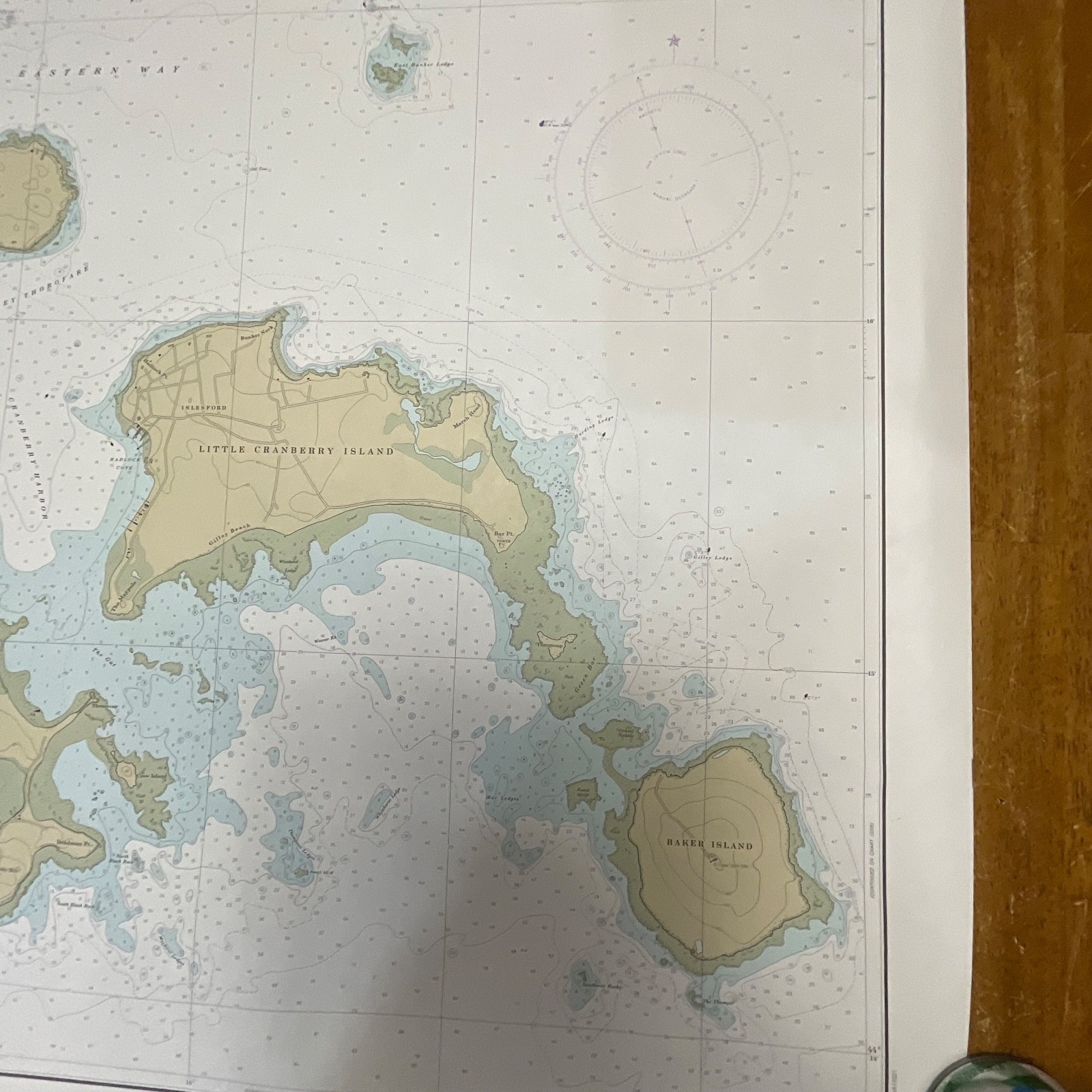
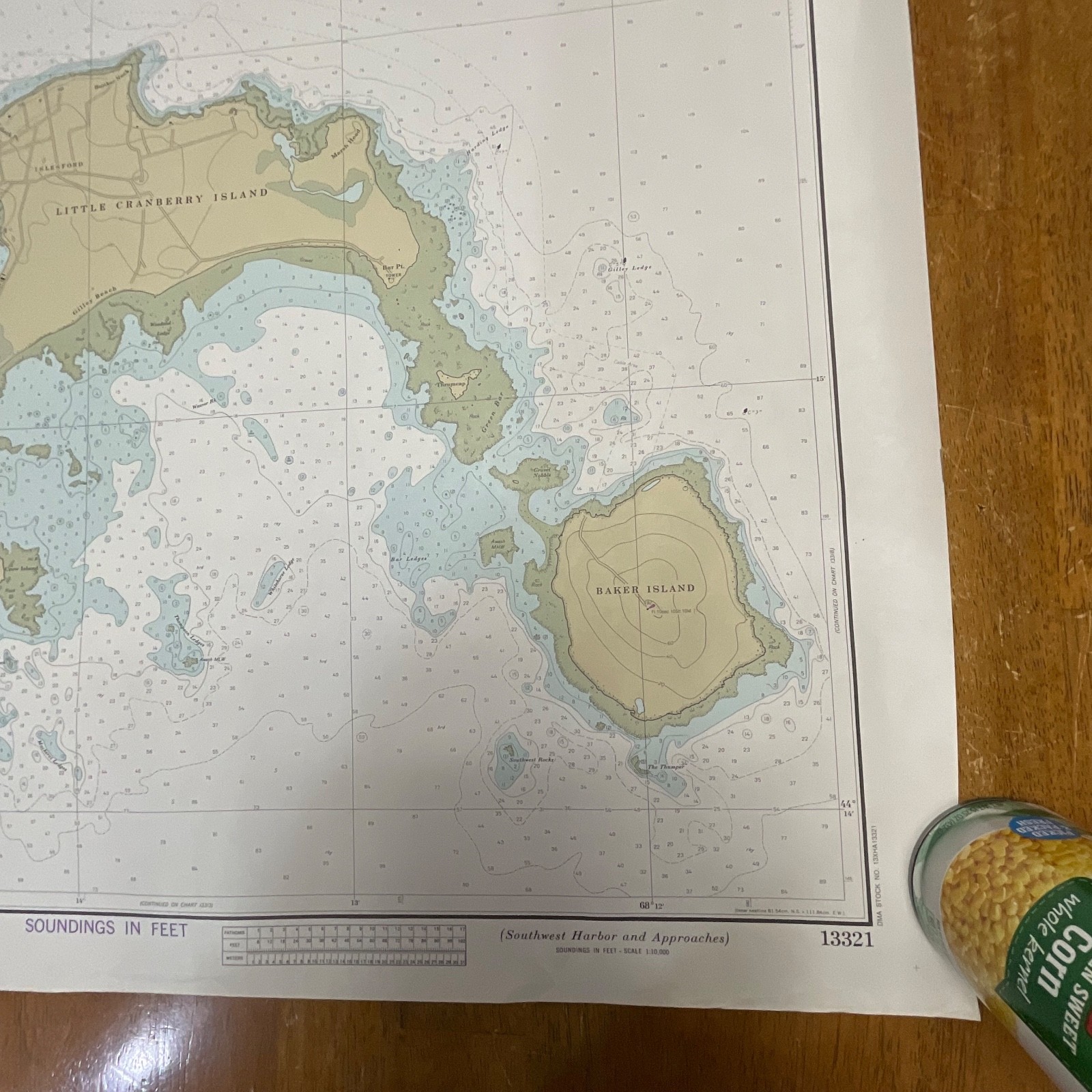
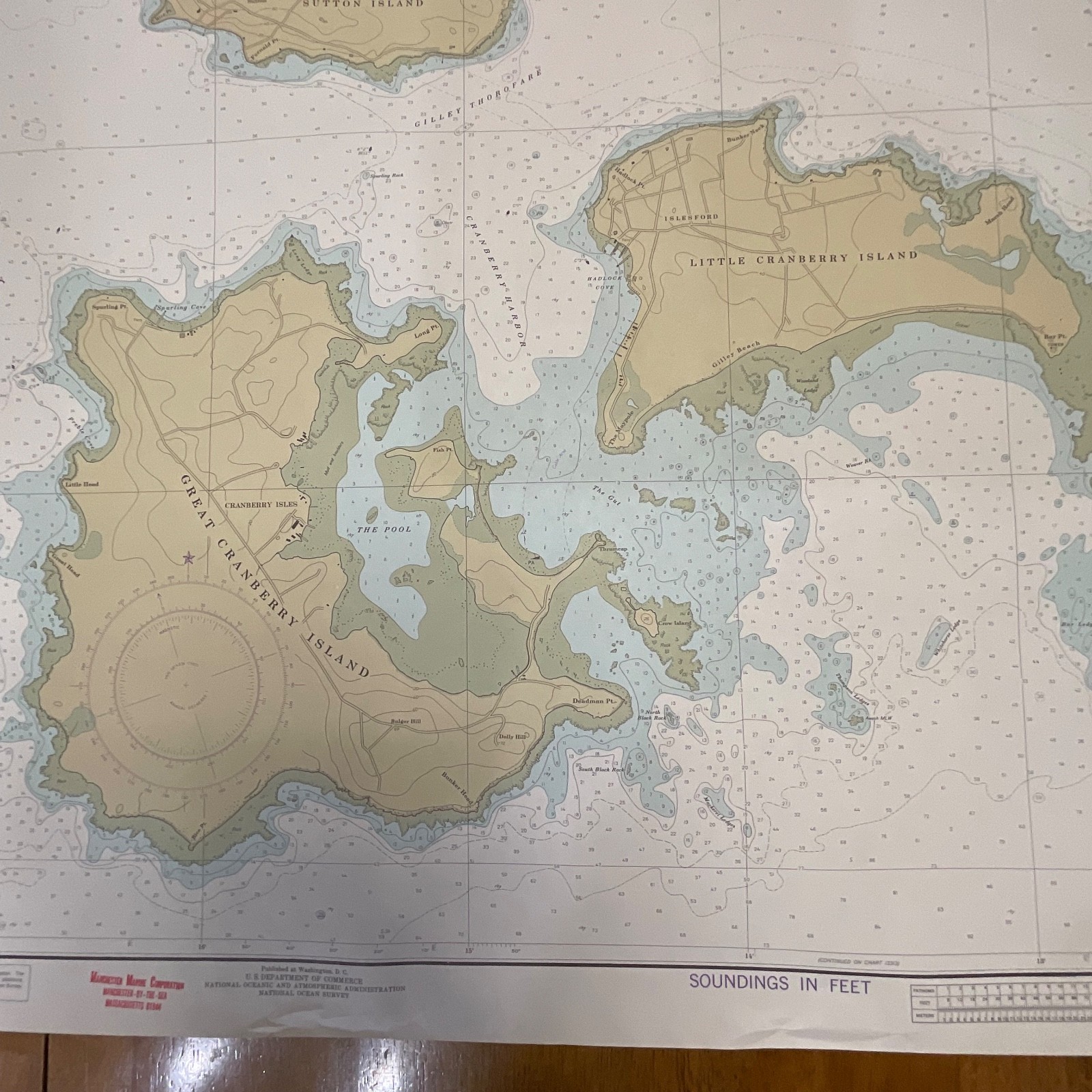
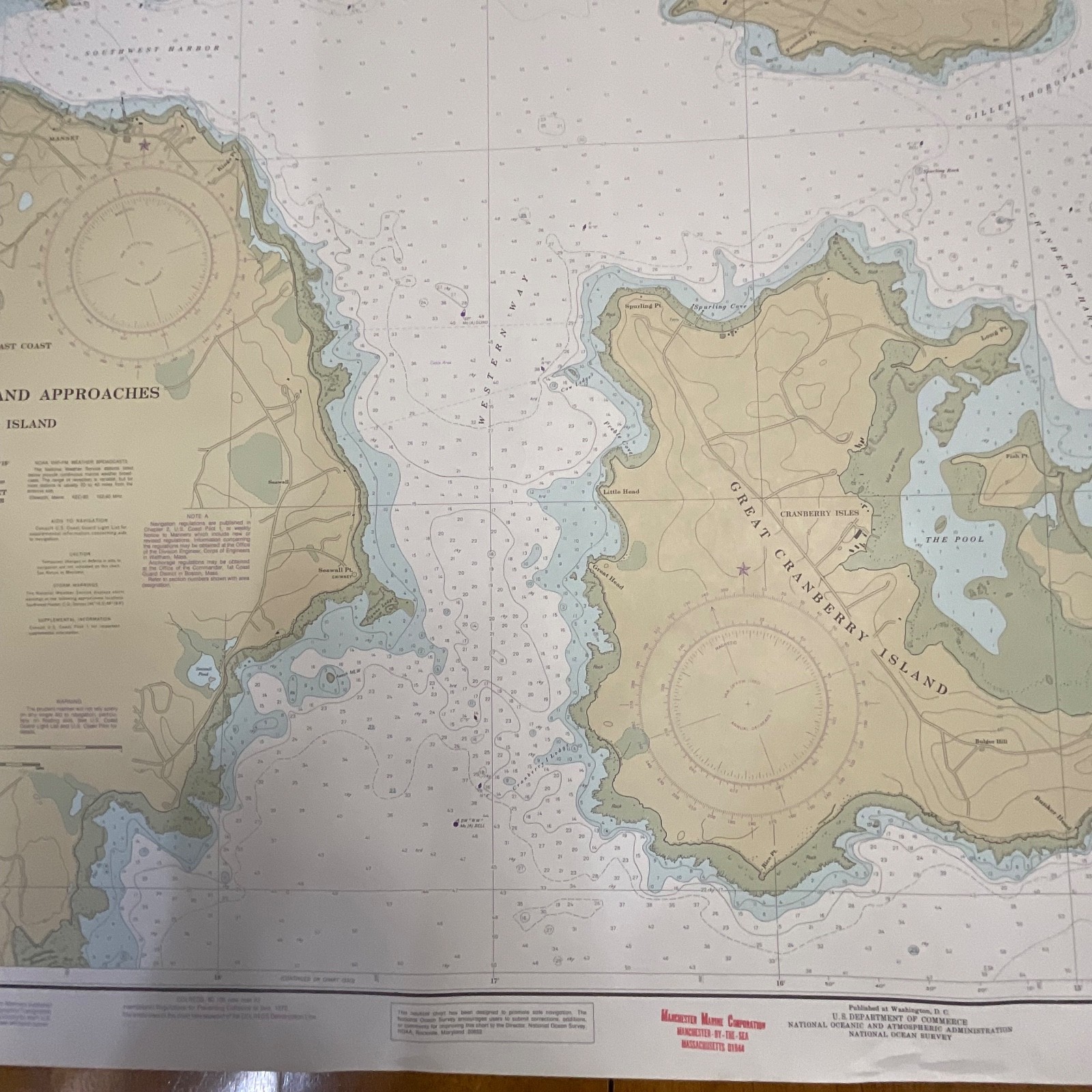
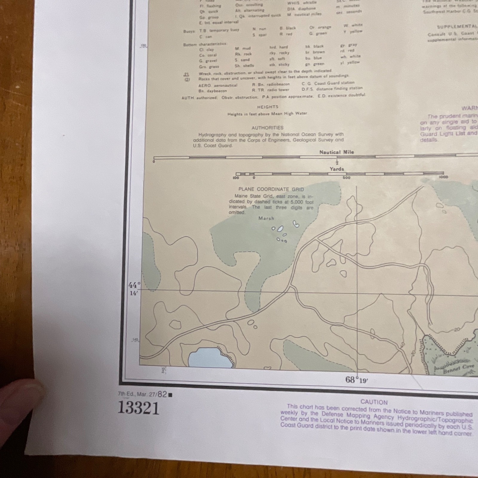
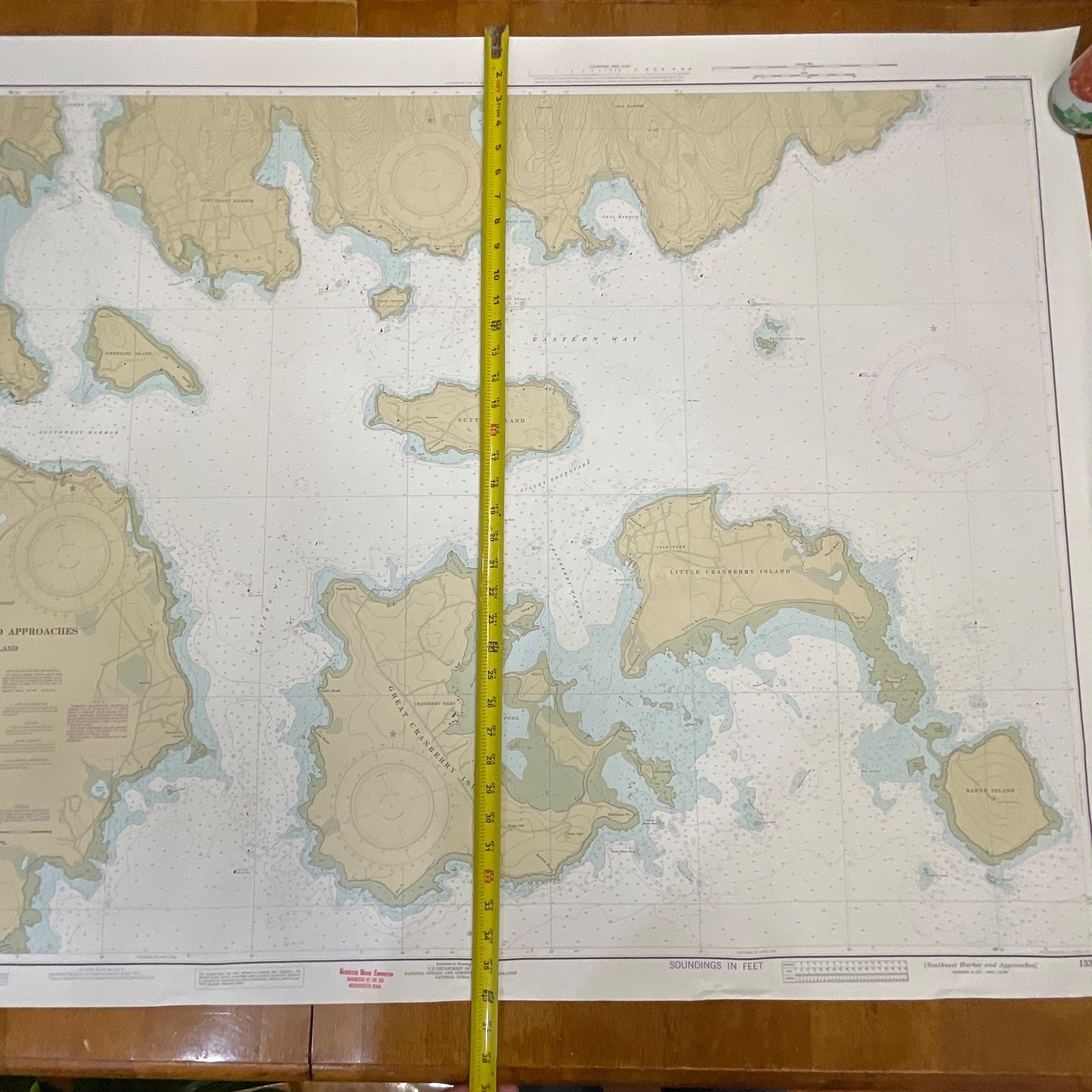
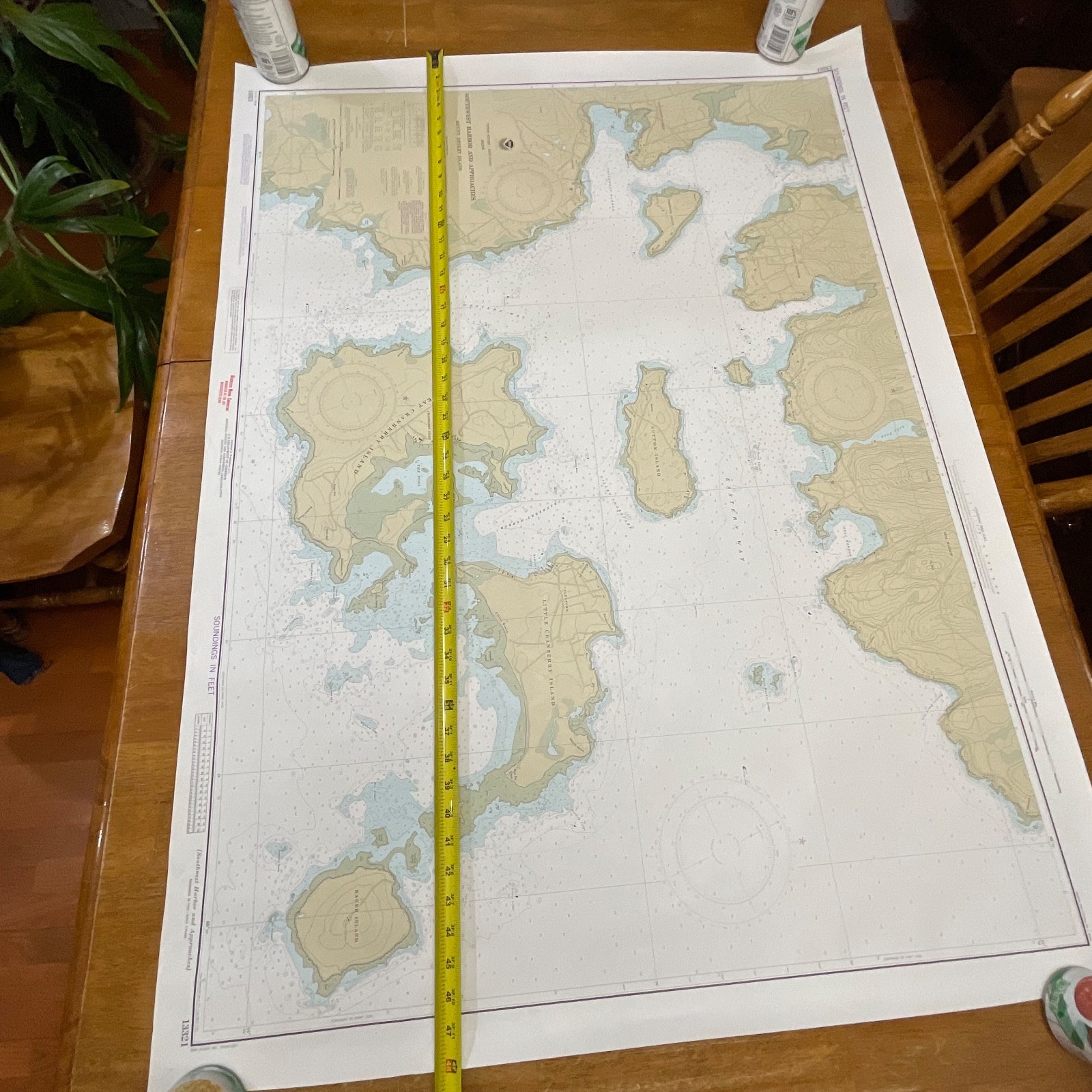
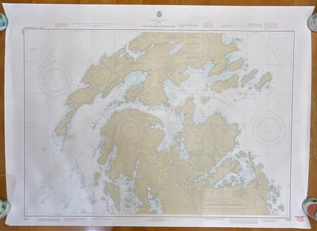
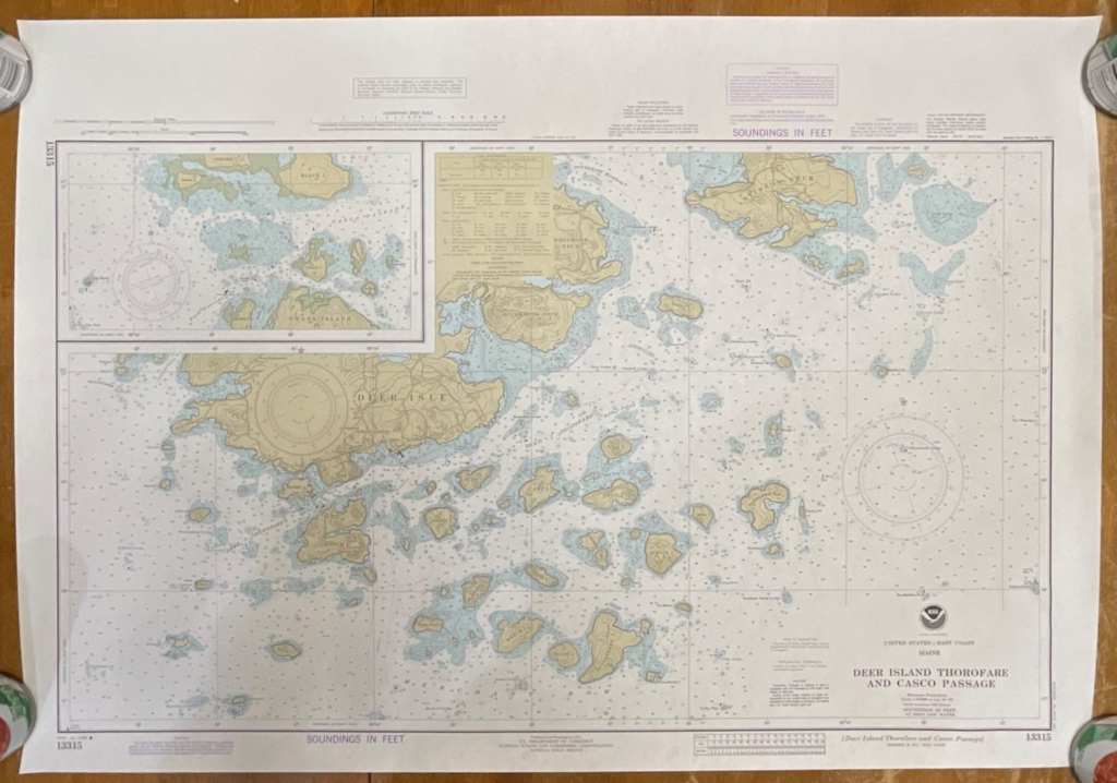
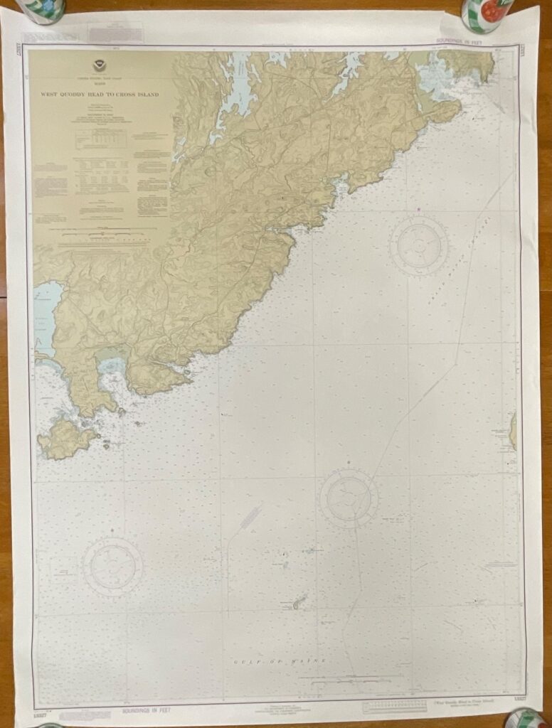
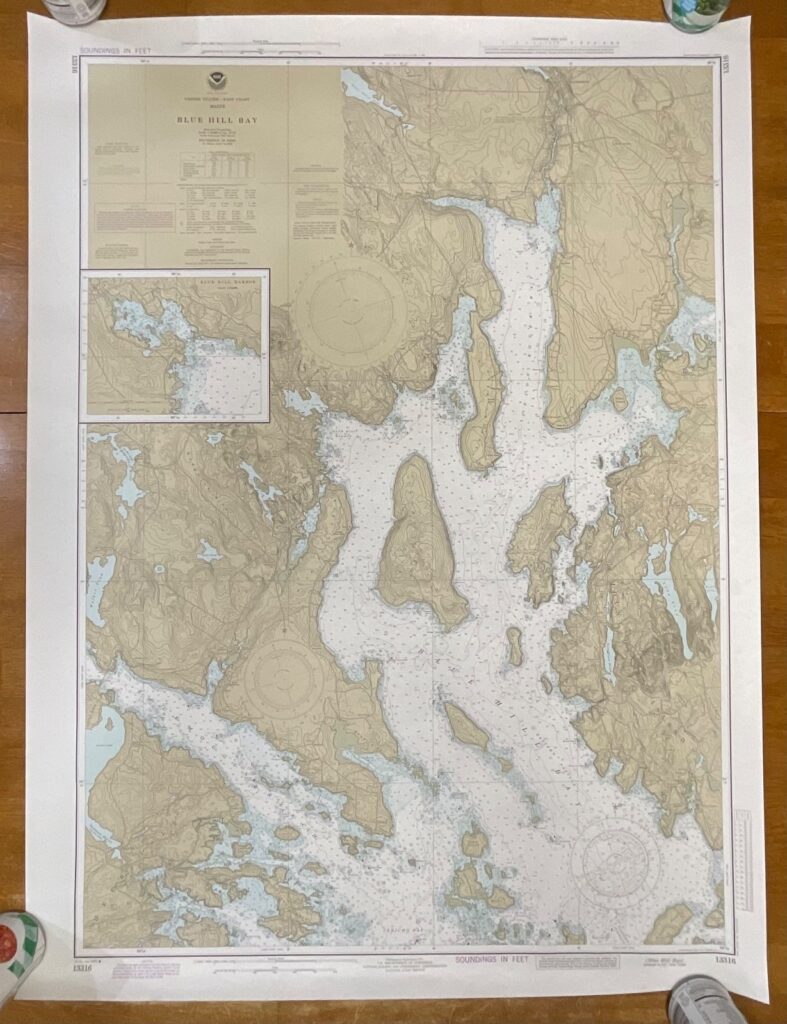
This is an original 1982 NOAA nautical chart titled “Southwest Harbor and Approaches – Mount Desert Island,” a detailed coastal map from the U.S. East Coast Maine series. It features classic NOAA coloration, hydrographic soundings, coastal topography, and the full legend block identifying chart number 13321.
The chart displays depth soundings in feet, contour lines, aids to navigation, tidal information, and geographic details of the Southwest Harbor and Mount Desert Island region. Edition markings confirm the 7th Edition – March 27, 1982, printed on sturdy chart paper typical of NOAA maps of this era. No folds appear present; sheet has been stored flat.
Measurements:
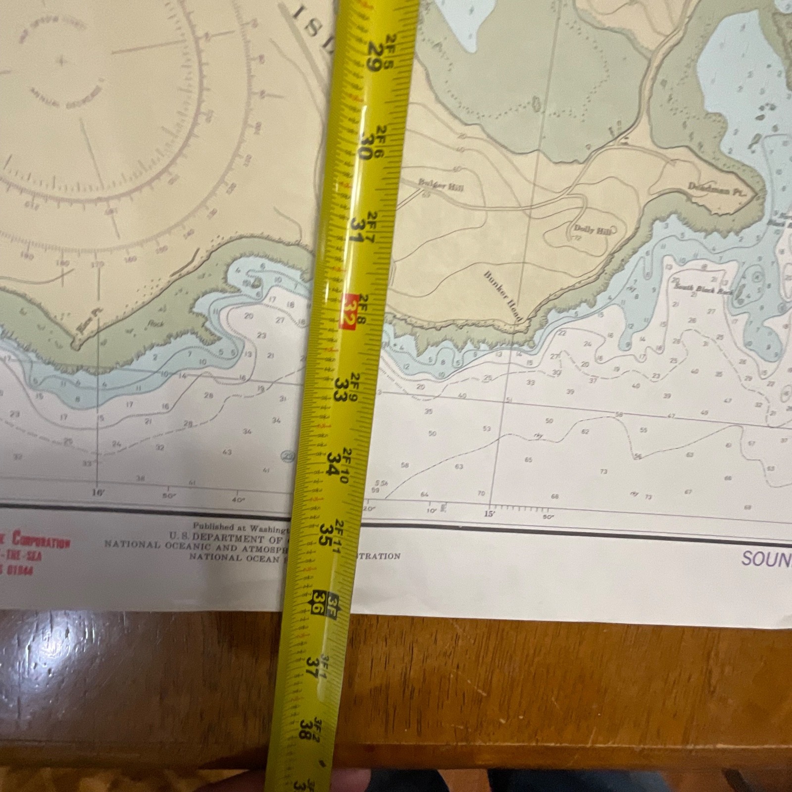
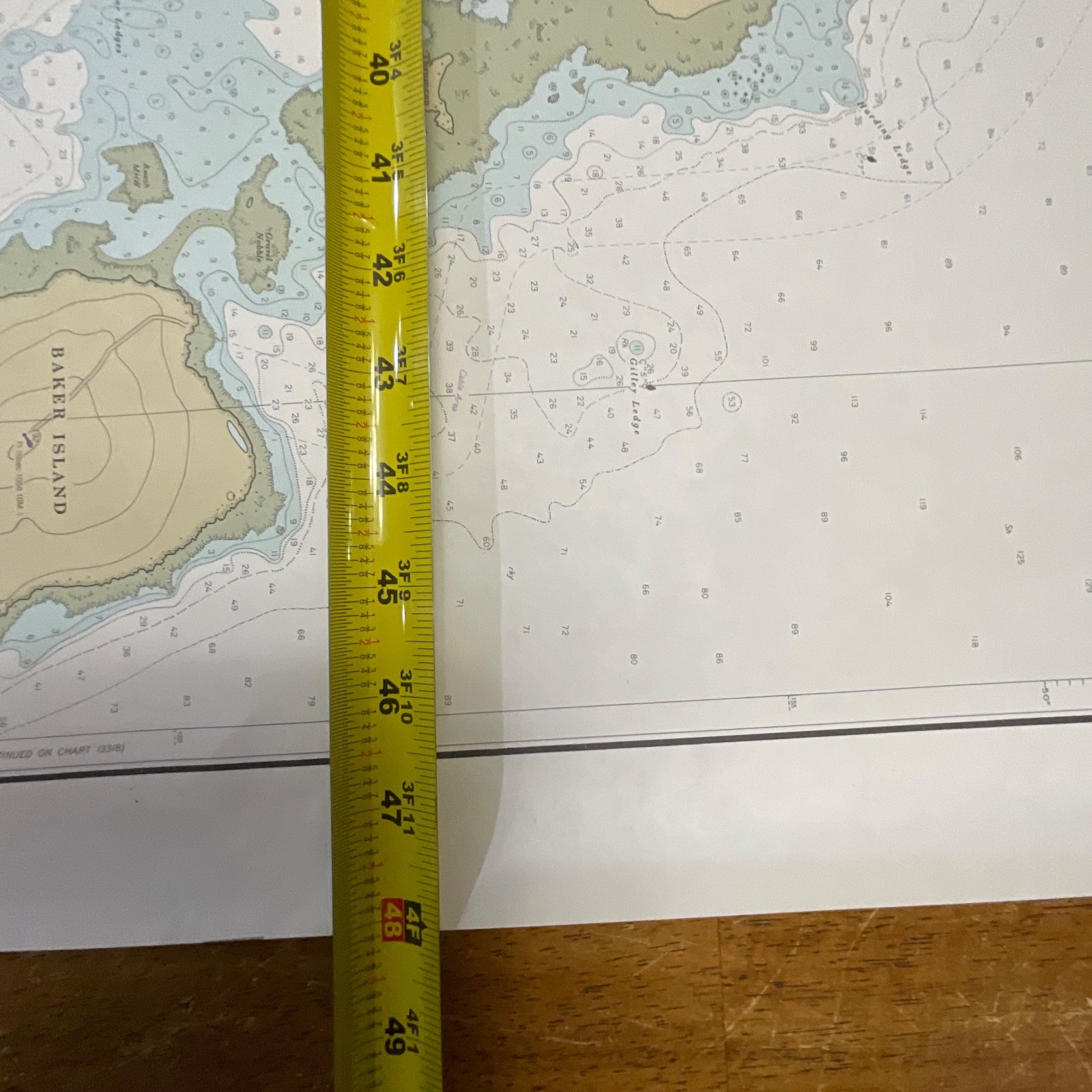
• Approx. 36in tall
• Approx. 48in wide
Shipping Note:
Ships securely with protective packaging; prompt shipping excluding Federal Holidays.
––––––––––––––––––––––––––––––
CONDITION DESCRIPTION
Pre-owned vintage chart in clean condition with light handling wear at the borders only. No tears, rips, or major blemishes visible. Please review all photos for exact condition before purchase.
––––––––––––––––––––––––––––––
ITEM SPECIFICS
• Category: Maps & Atlases
• Type: Nautical Chart
• Style: Coastal Navigation Chart
• Material: Paper
• Color: Multicolor (NOAA Standard Chart Palette)
• Size: 36in x 48in
• Era: 1980s
• Year Printed: 1982
• Region: United States – Maine – Mount Desert Island
• Brand / Agency: NOAA (National Oceanic and Atmospheric Administration)
• Chart Number: 13321
• Edition: 7th Edition, March 27, 1982
• Country/Region: United States
• UPC: Not present on chart
––––––––––––––––––––––––––––––

Reviews
There are no reviews yet.