
Description
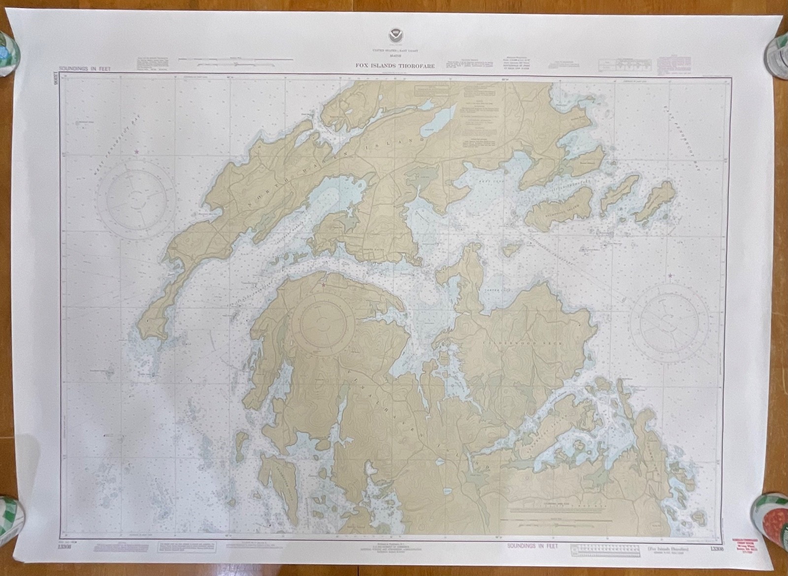
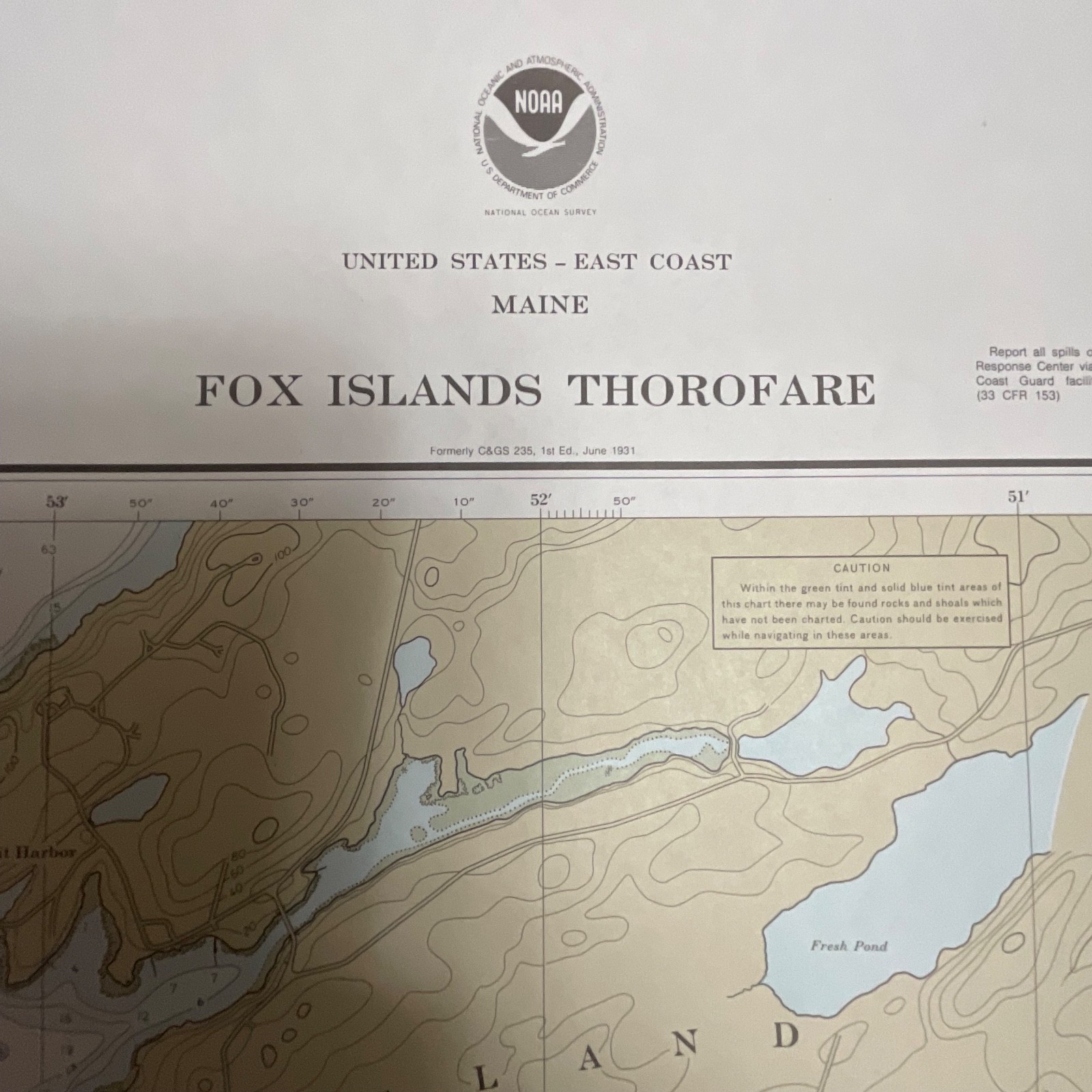
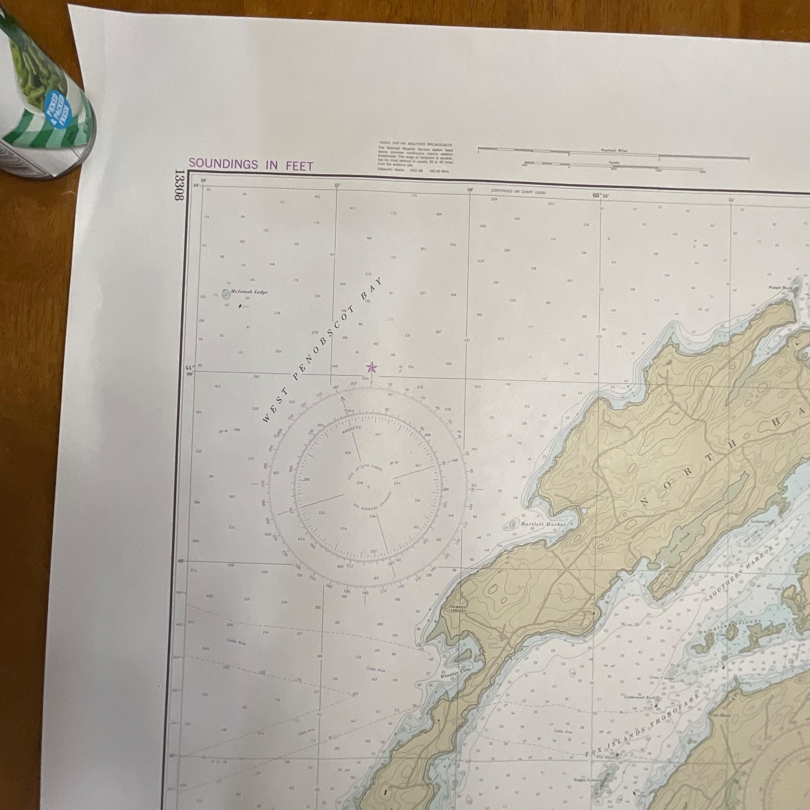
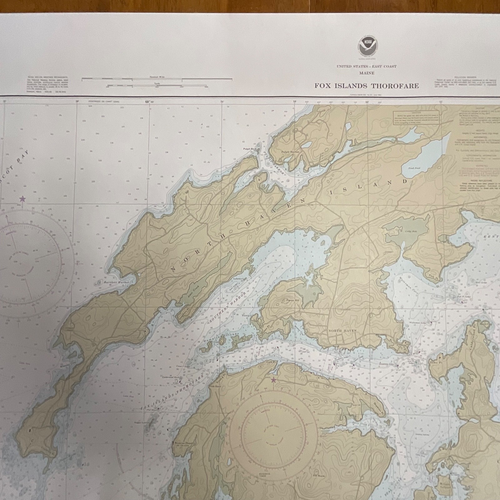
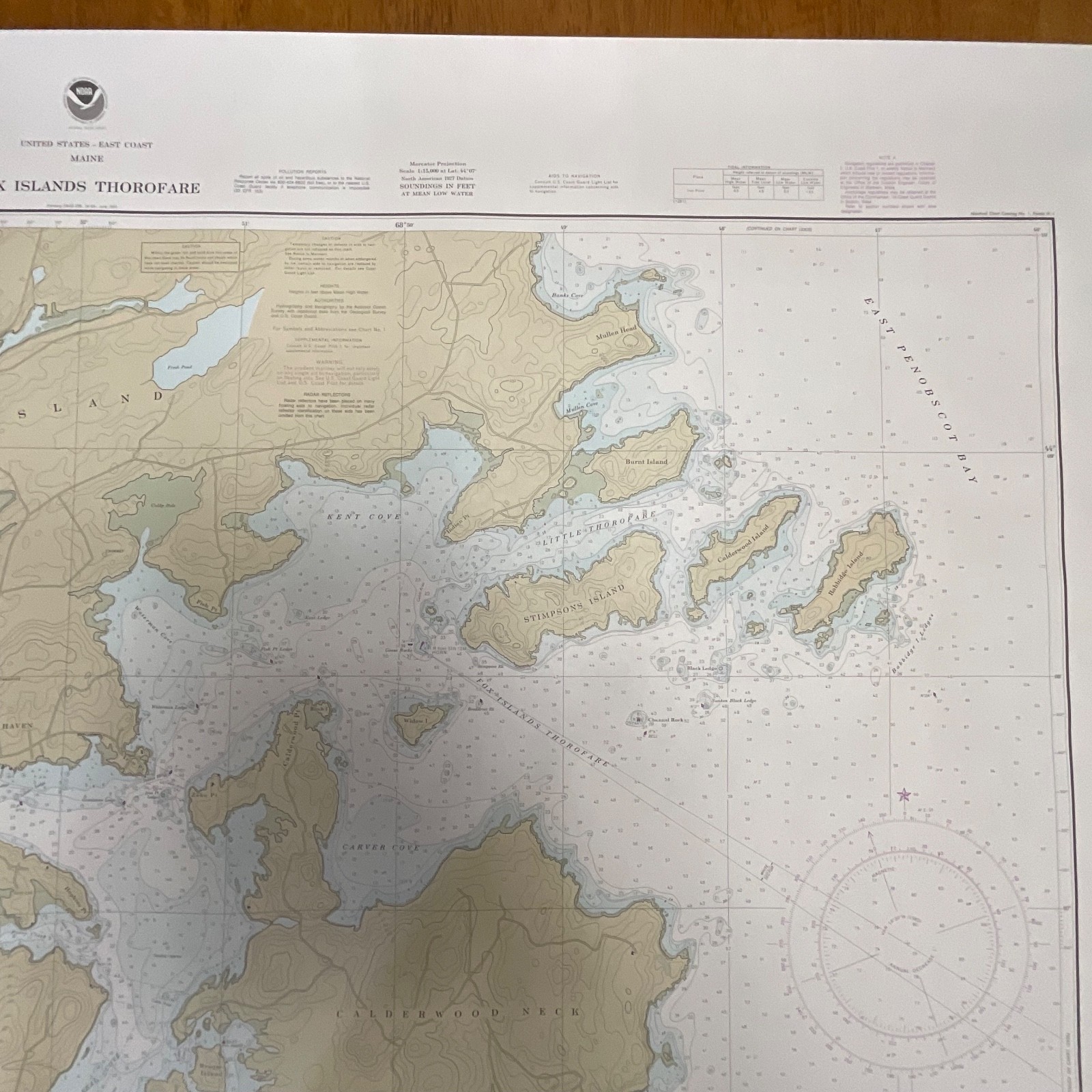
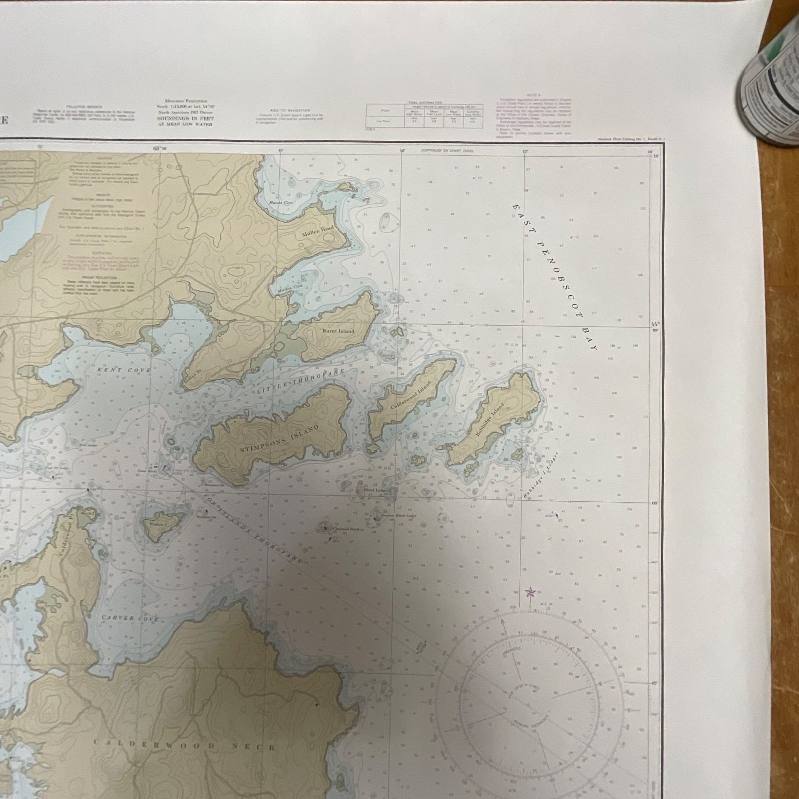
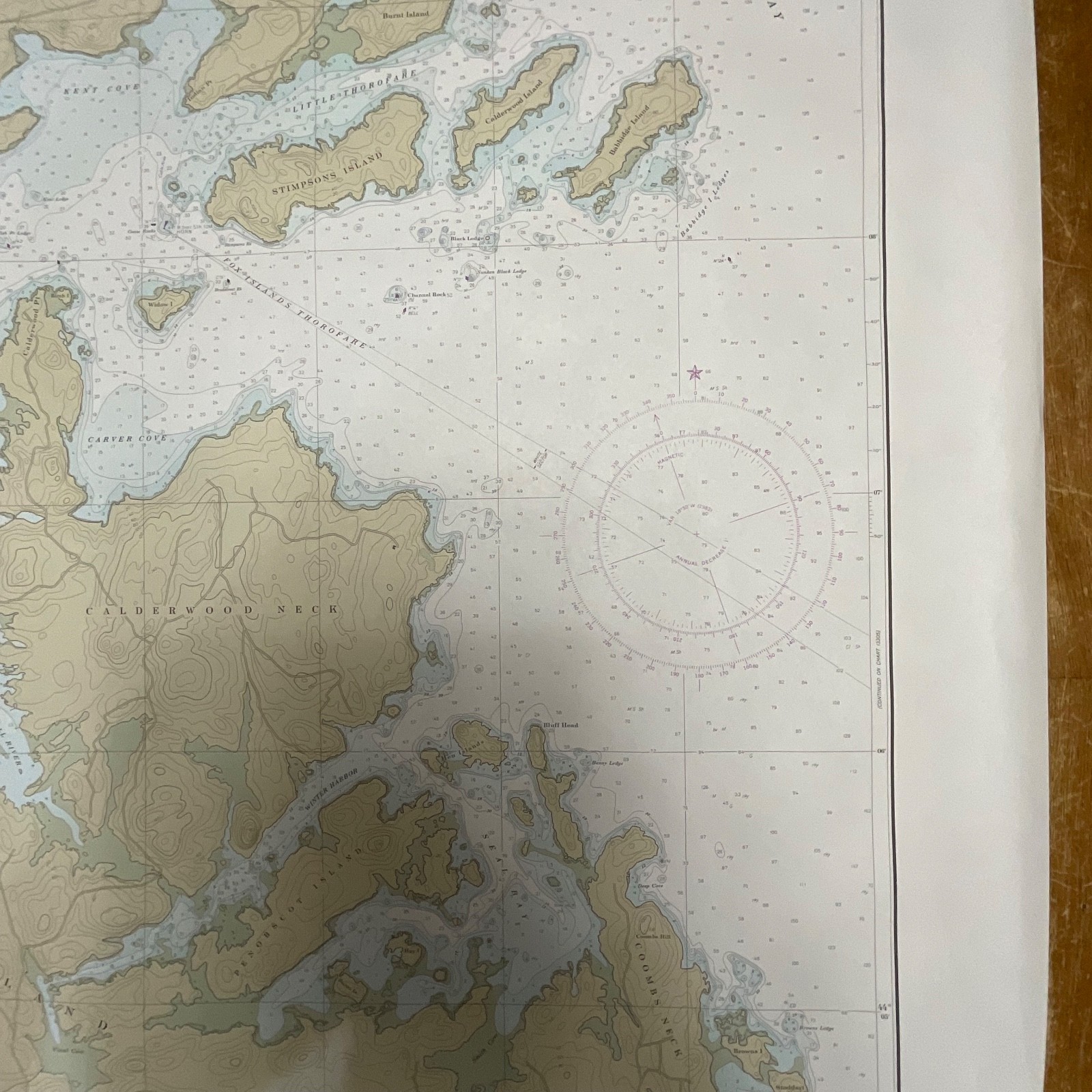
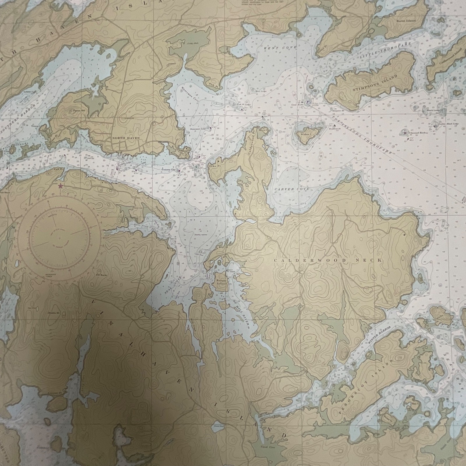
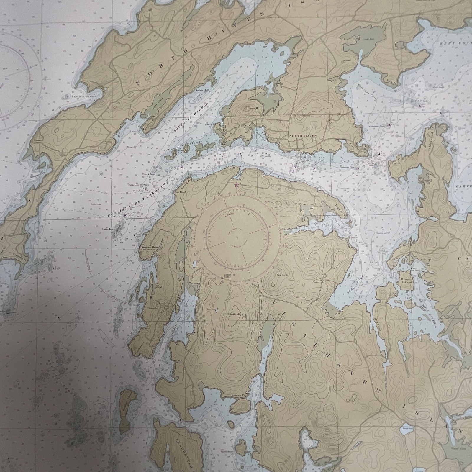
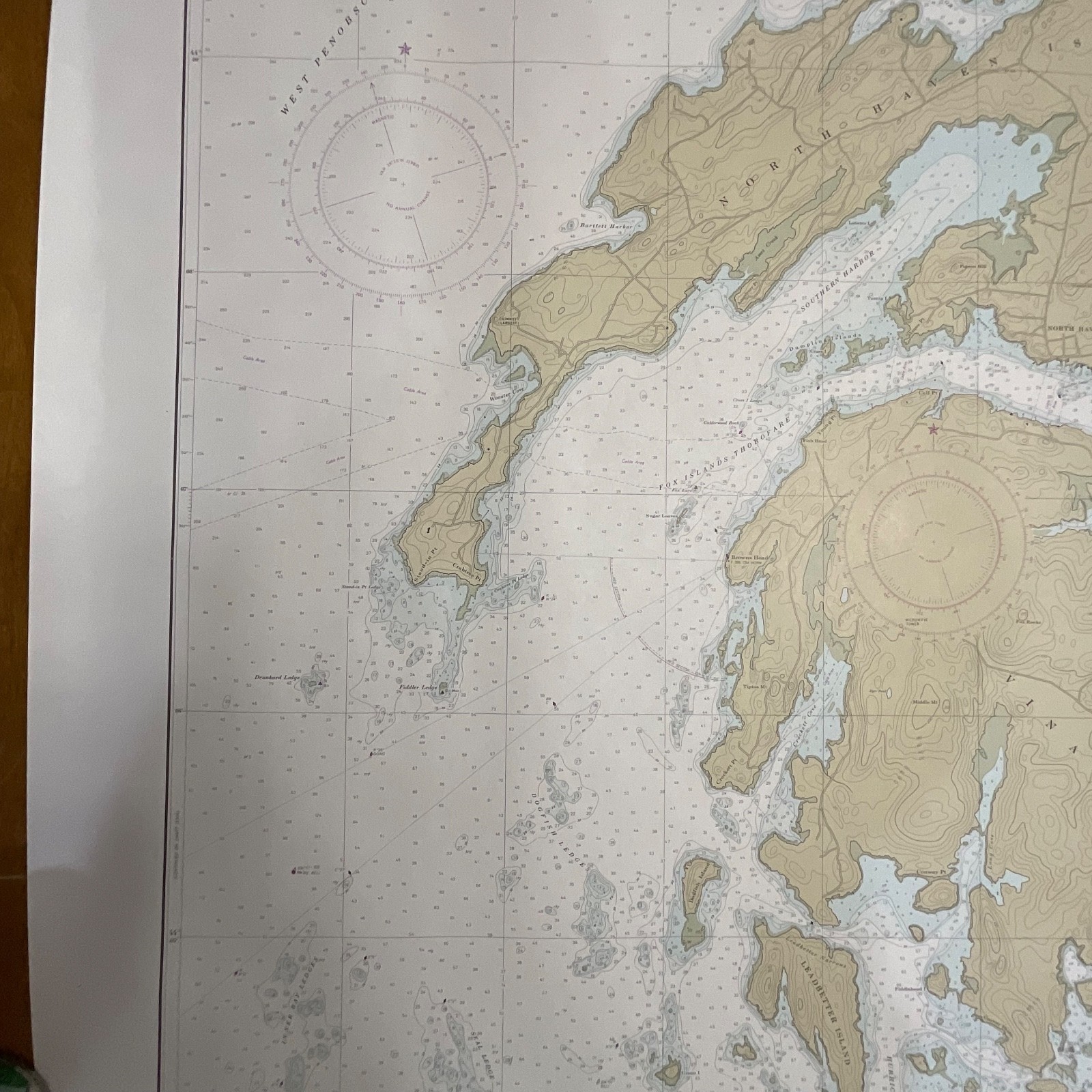
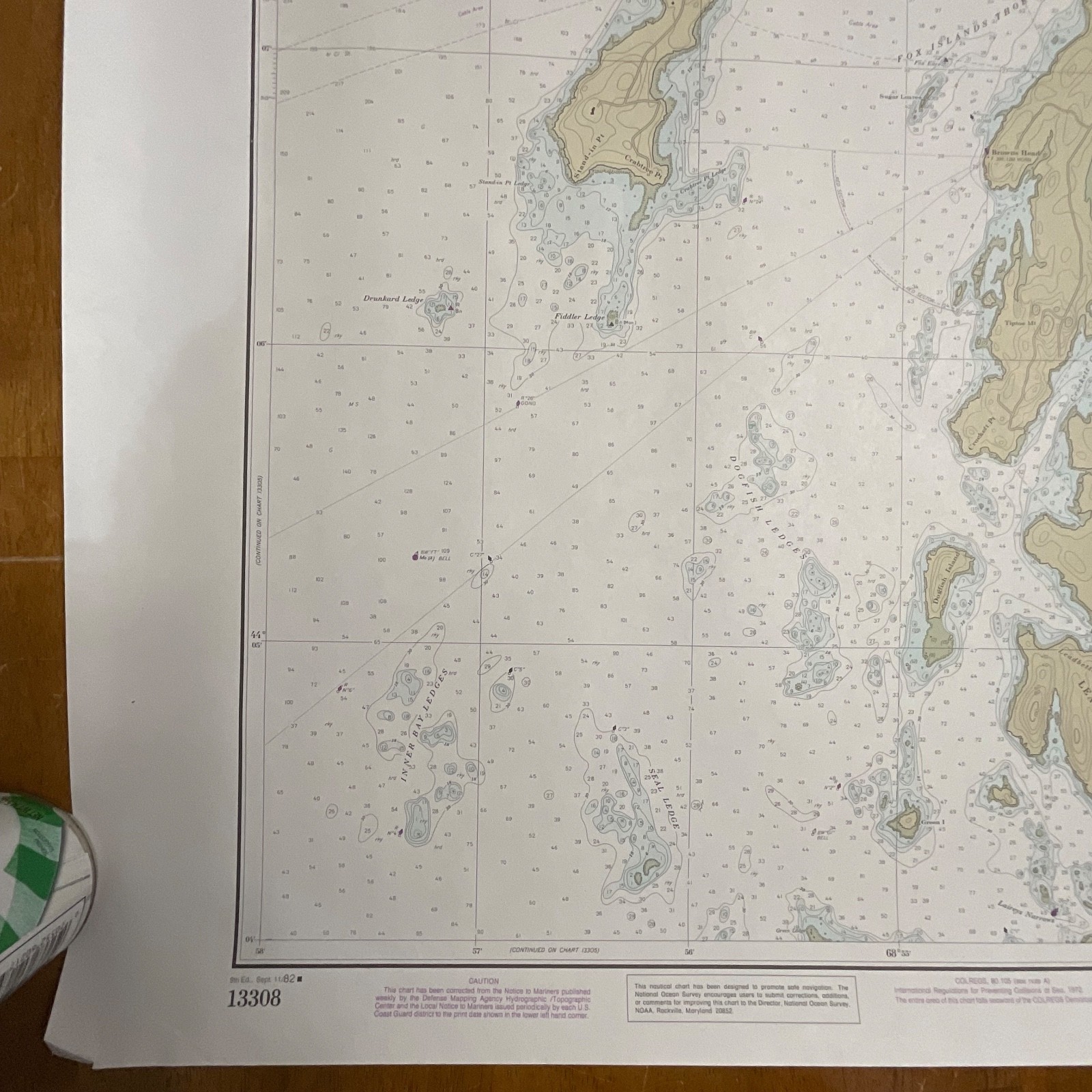
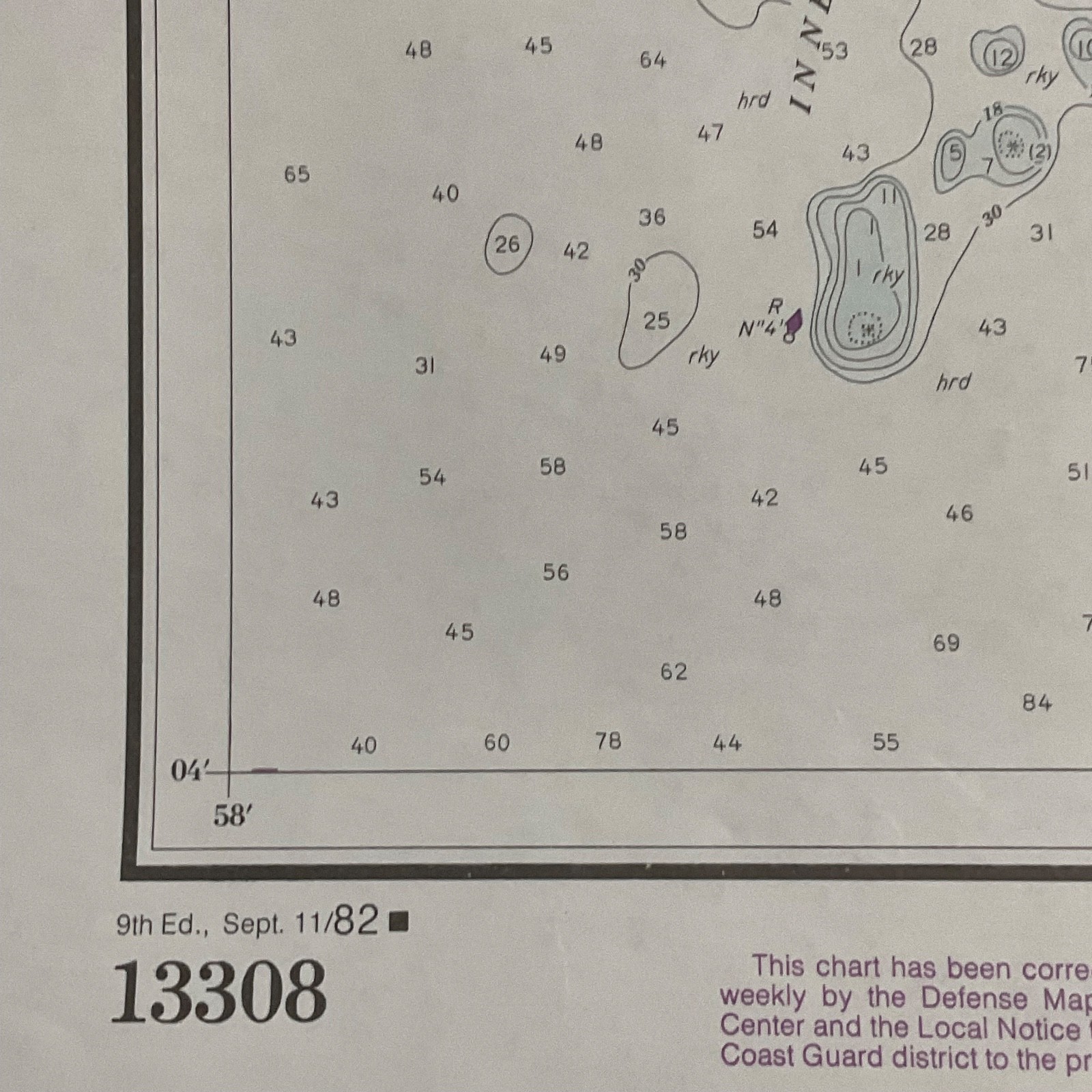
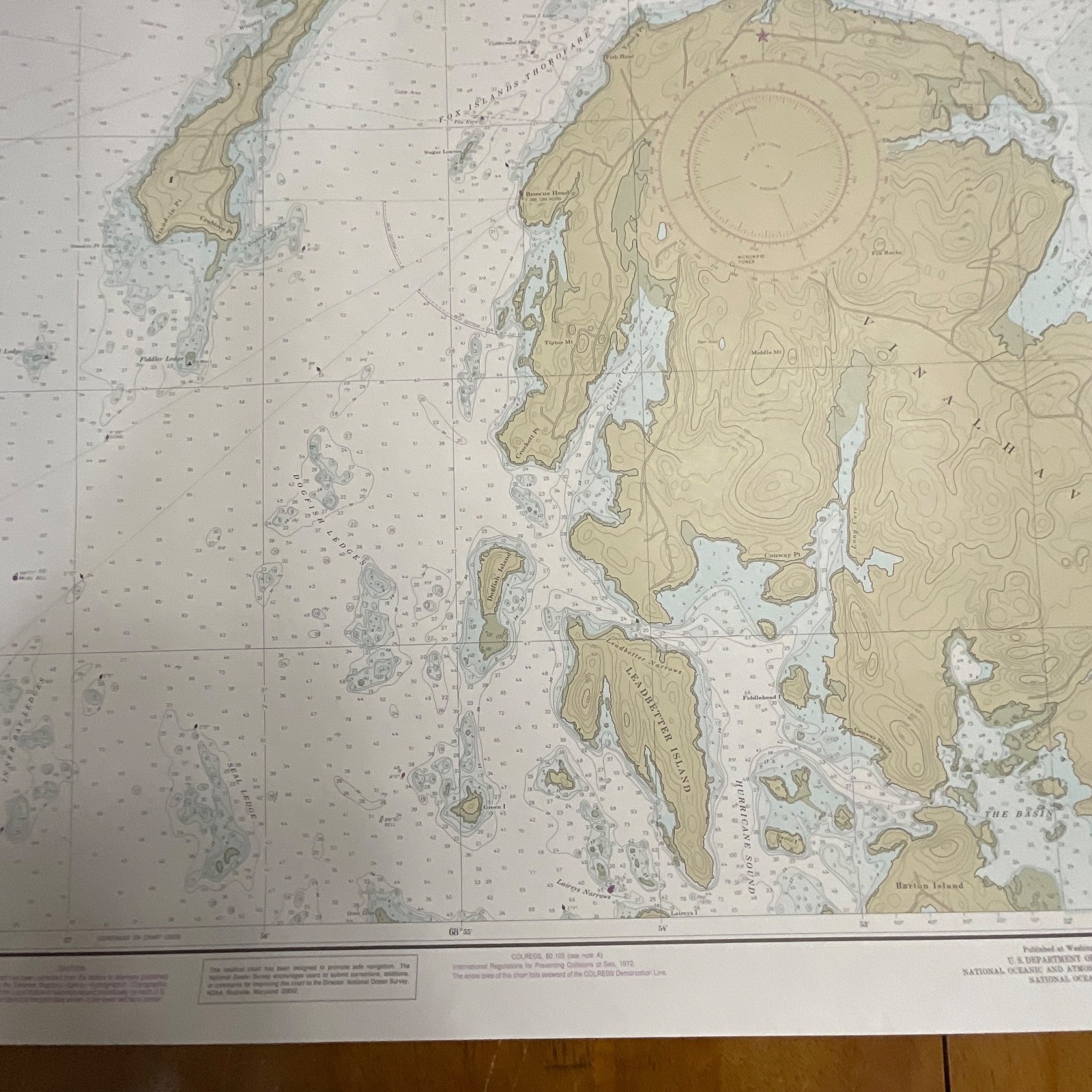
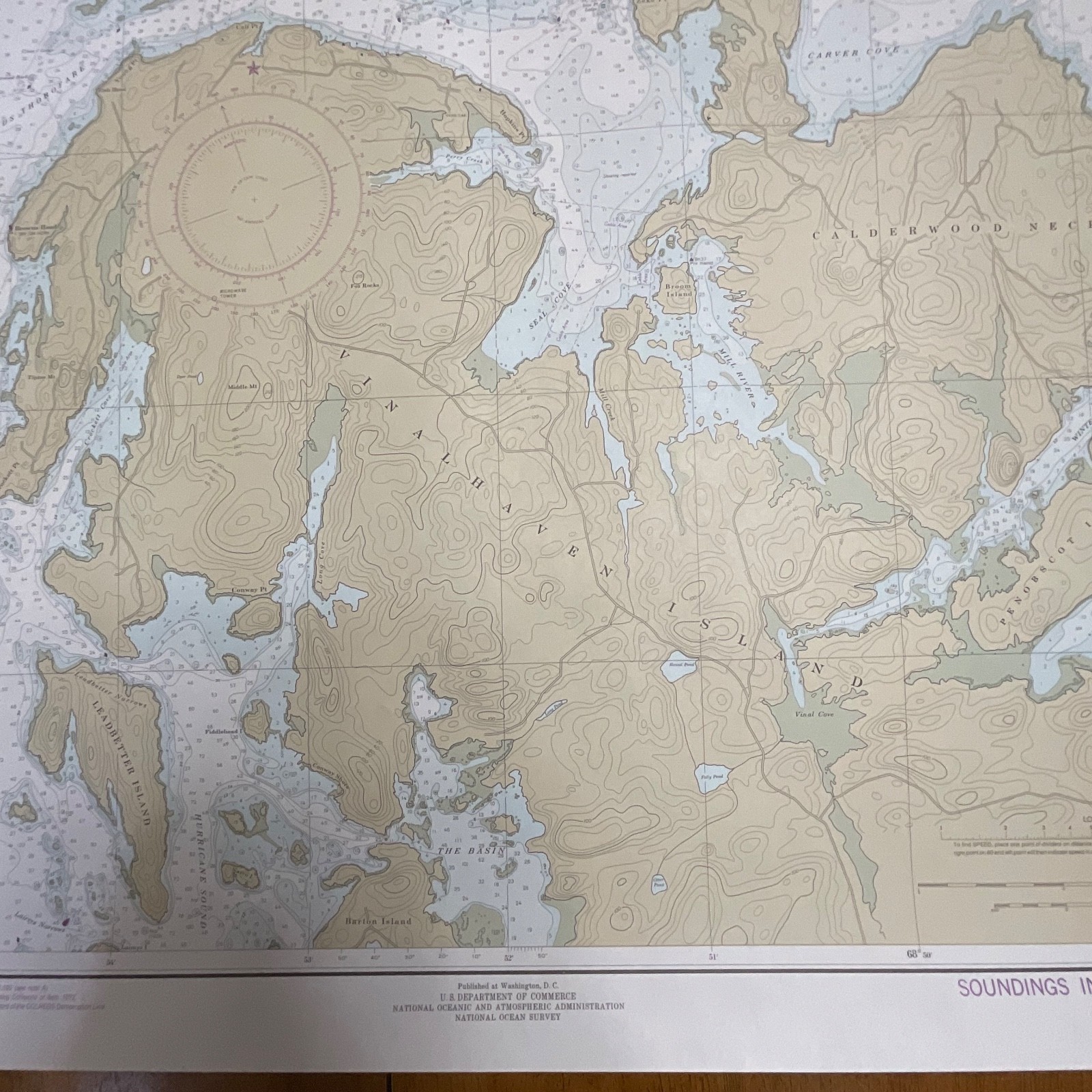
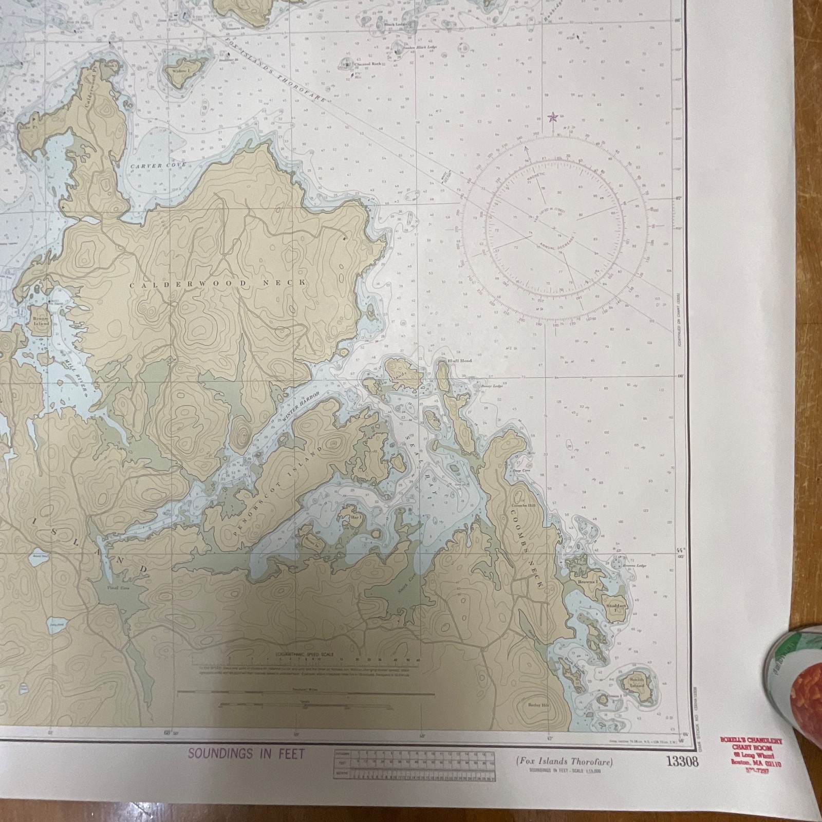
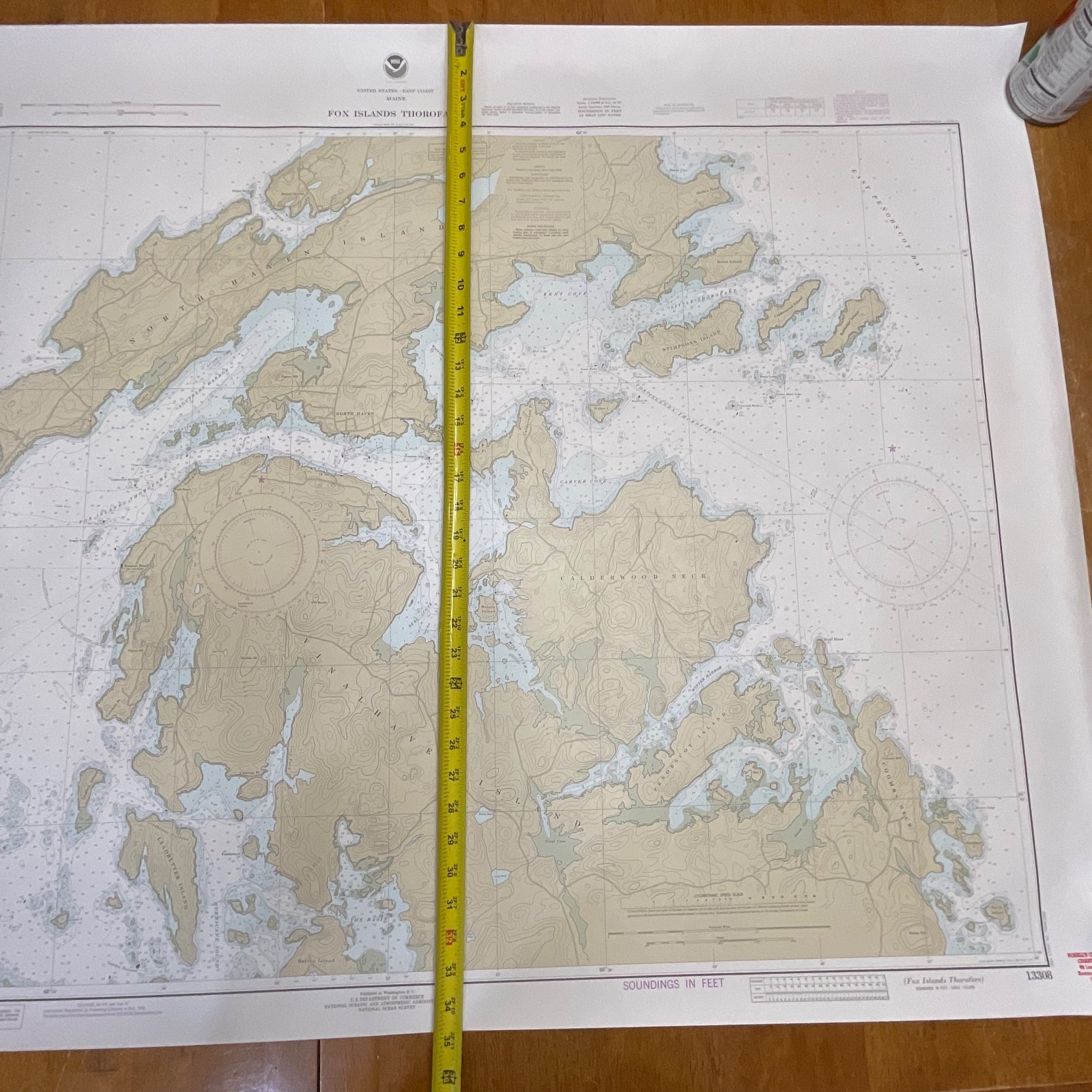
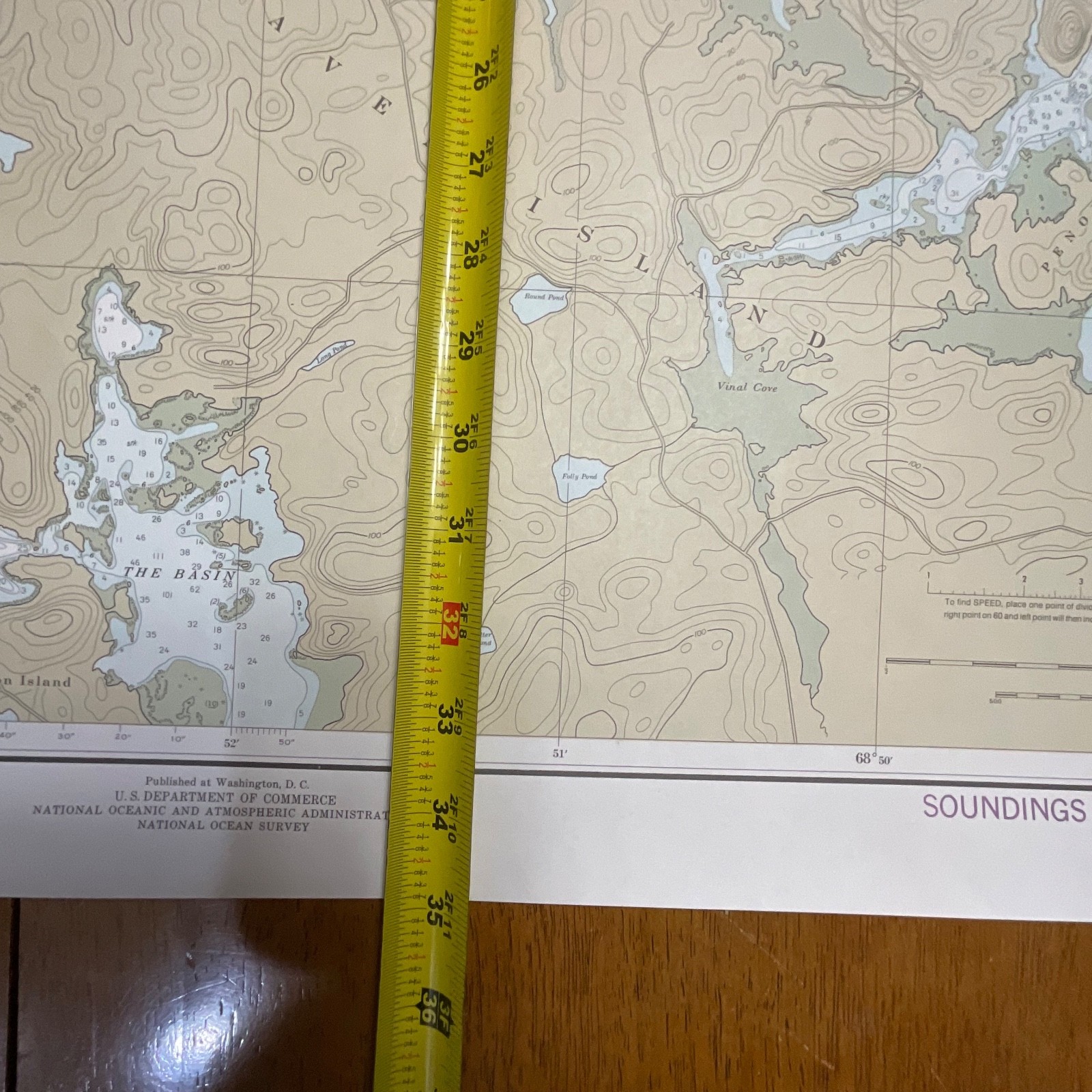
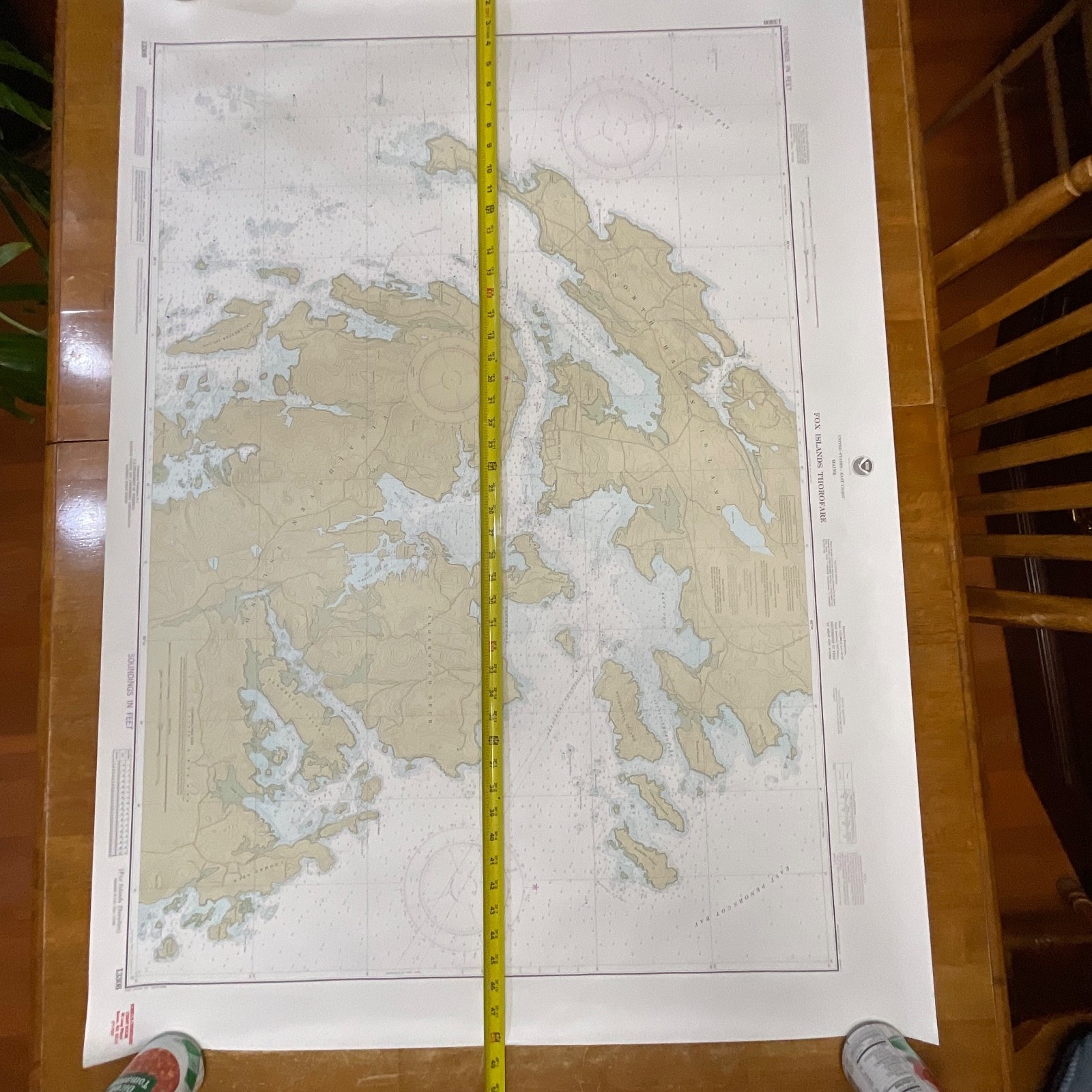
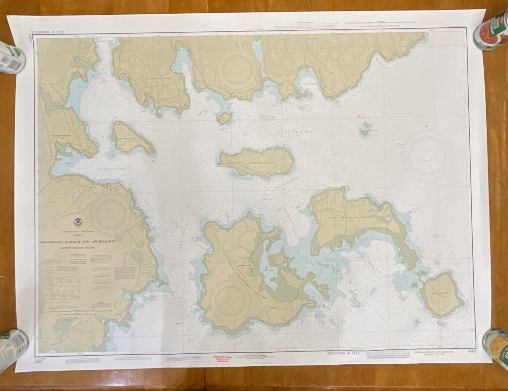
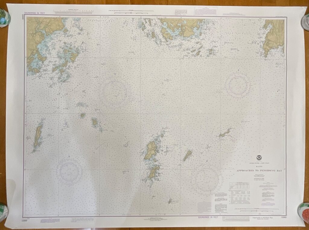
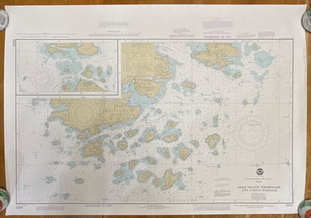
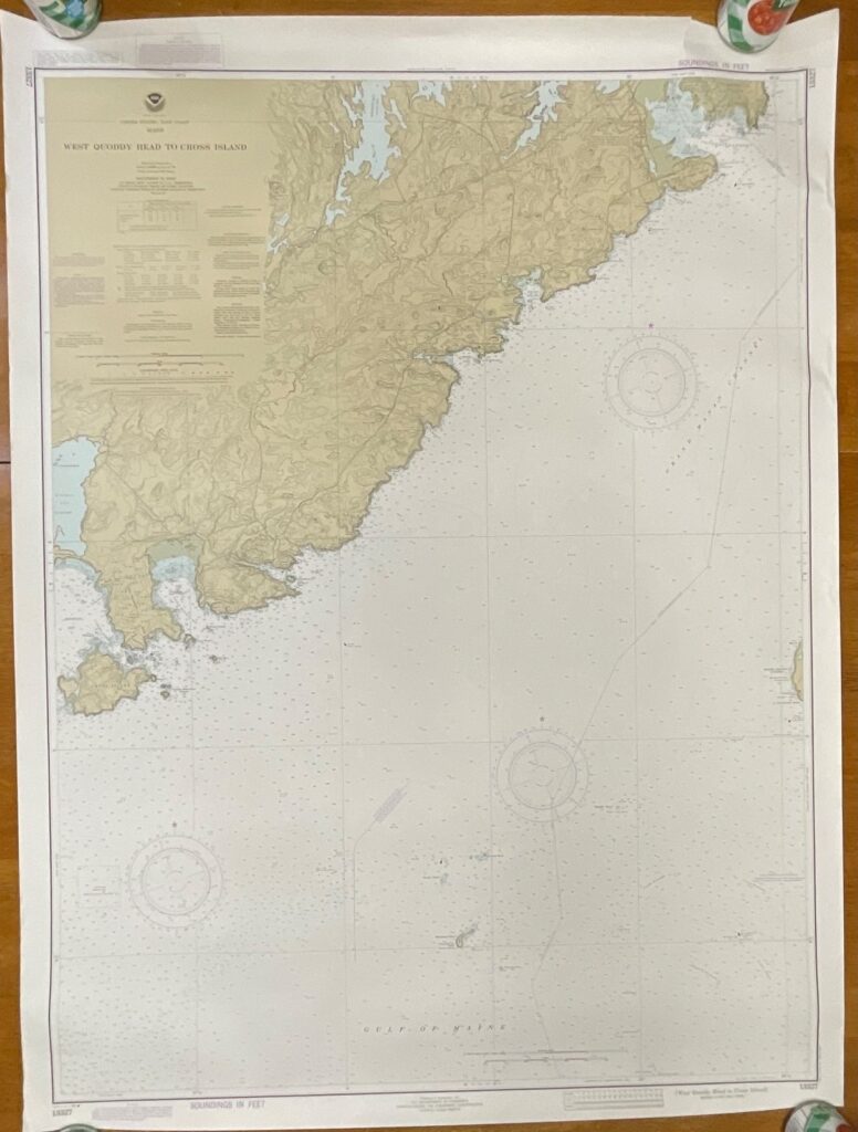
This vintage NOAA nautical chart depicts the Fox Islands Thorofare along the Maine coast, produced in the 9th edition dated September 1982. It features classic NOAA coloration, detailed topography, depth soundings in feet, and coastal navigation markings characteristic of early-1980s government-issued charts.
The chart is printed on heavyweight paper and includes the visible NOAA title block, edition notes, and chart number 13308. A small 2in tear is present on the top right edge, and light handling wear is visible along the margins. Overall, the printed area remains clear and highly displayable, making it suitable for framing or collection.
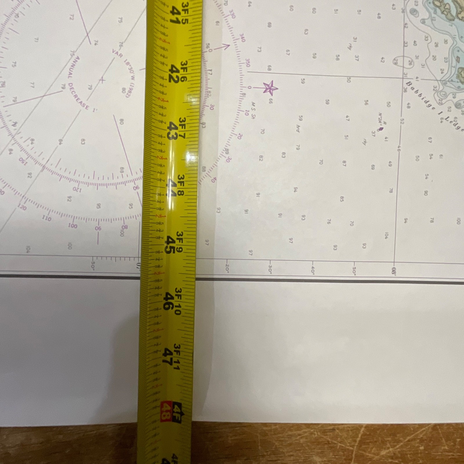
Measurements: approximately 35in tall x 48in wide.
Ships securely with protective packaging; prompt shipping excluding Federal Holidays.
Condition Description
Vintage condition with a 2in tear on the top right edge and minor edge wear. The printed map area remains clean and legible. Please review all photos for exact condition before purchase.
Item Specifics
• Category: Maps & Atlases
• Type: Nautical Chart
• Style: Coastal / Navigational
• Material: Heavy paper
• Color: Multicolor (tan landforms, blue water, purple markings)
• Size: 35in x 48in
• Era: 1980s
• Occasion: Maritime navigation, décor, collecting
• Gender/Unisex: Unisex
• Brand/Signature: NOAA (National Oceanic and Atmospheric Administration)
• Country/Region of Manufacture: United States
• Chart Number: 13308
• Edition: 9th Edition, Sept. 11, 1982
• UPC: Not present/none visible
Reviews
There are no reviews yet.