
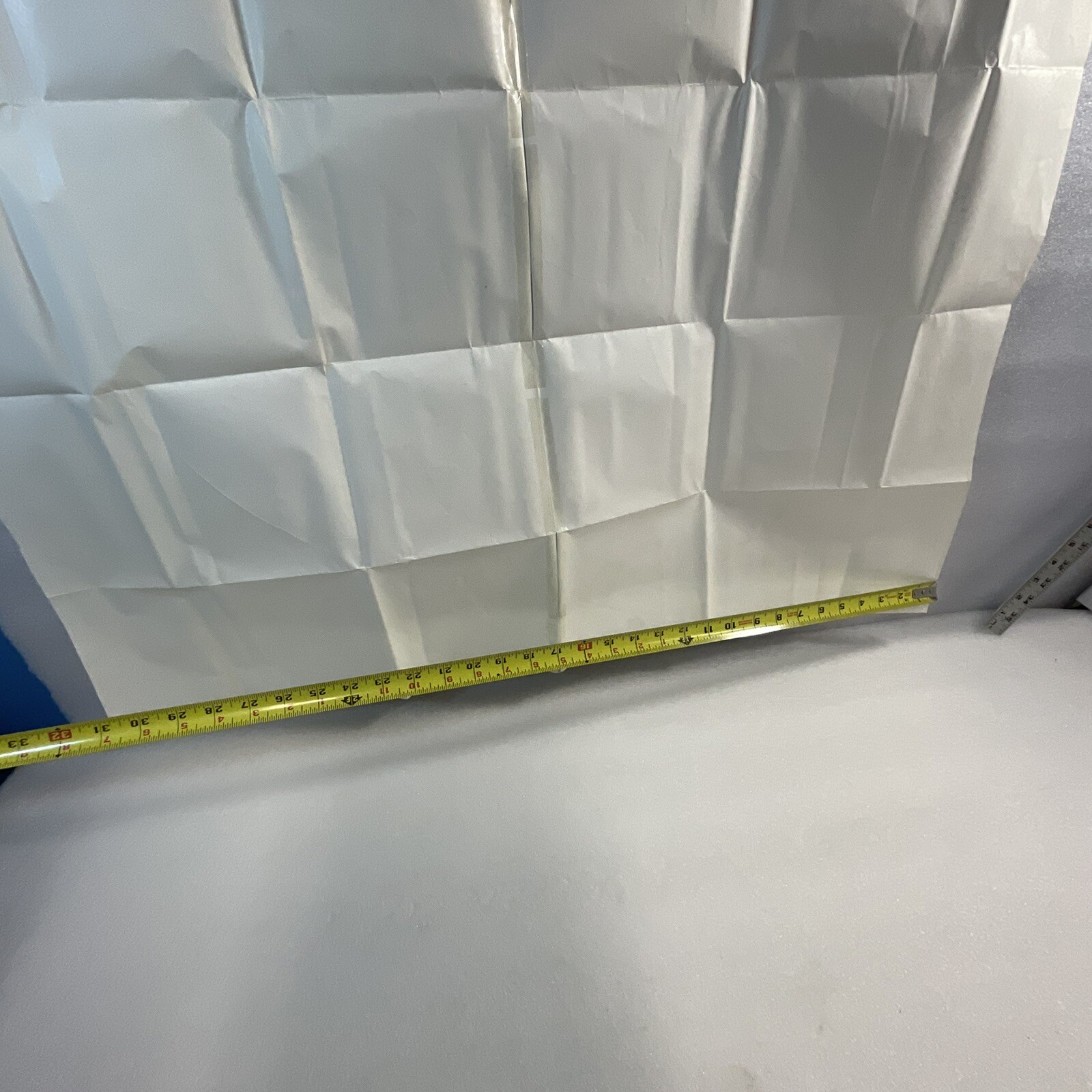
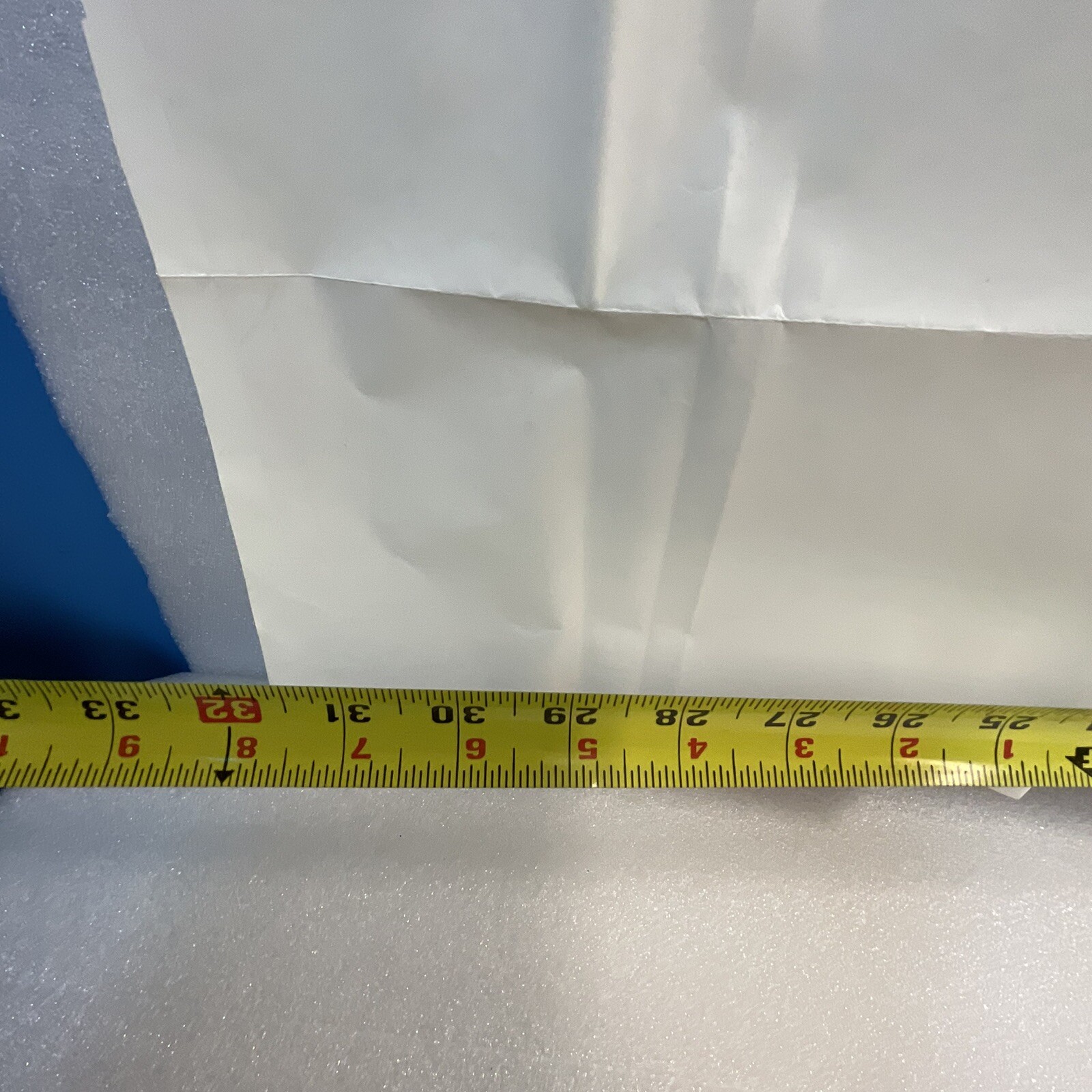
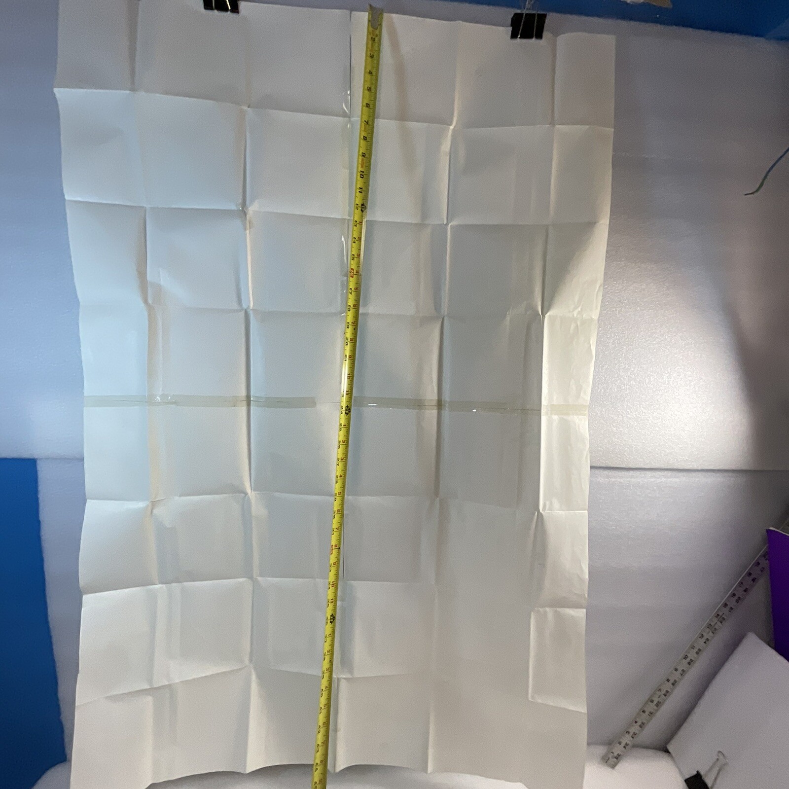
Description
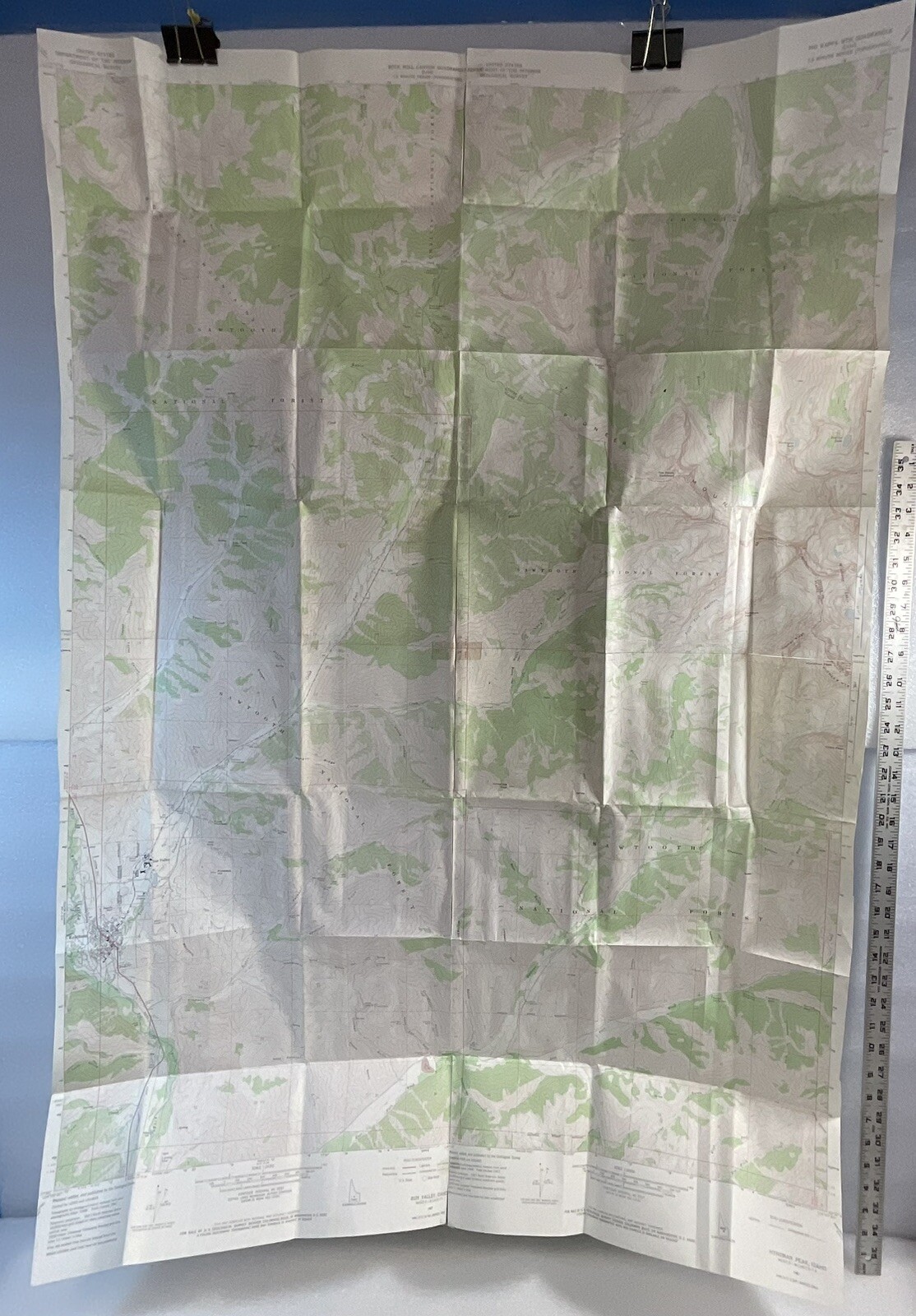
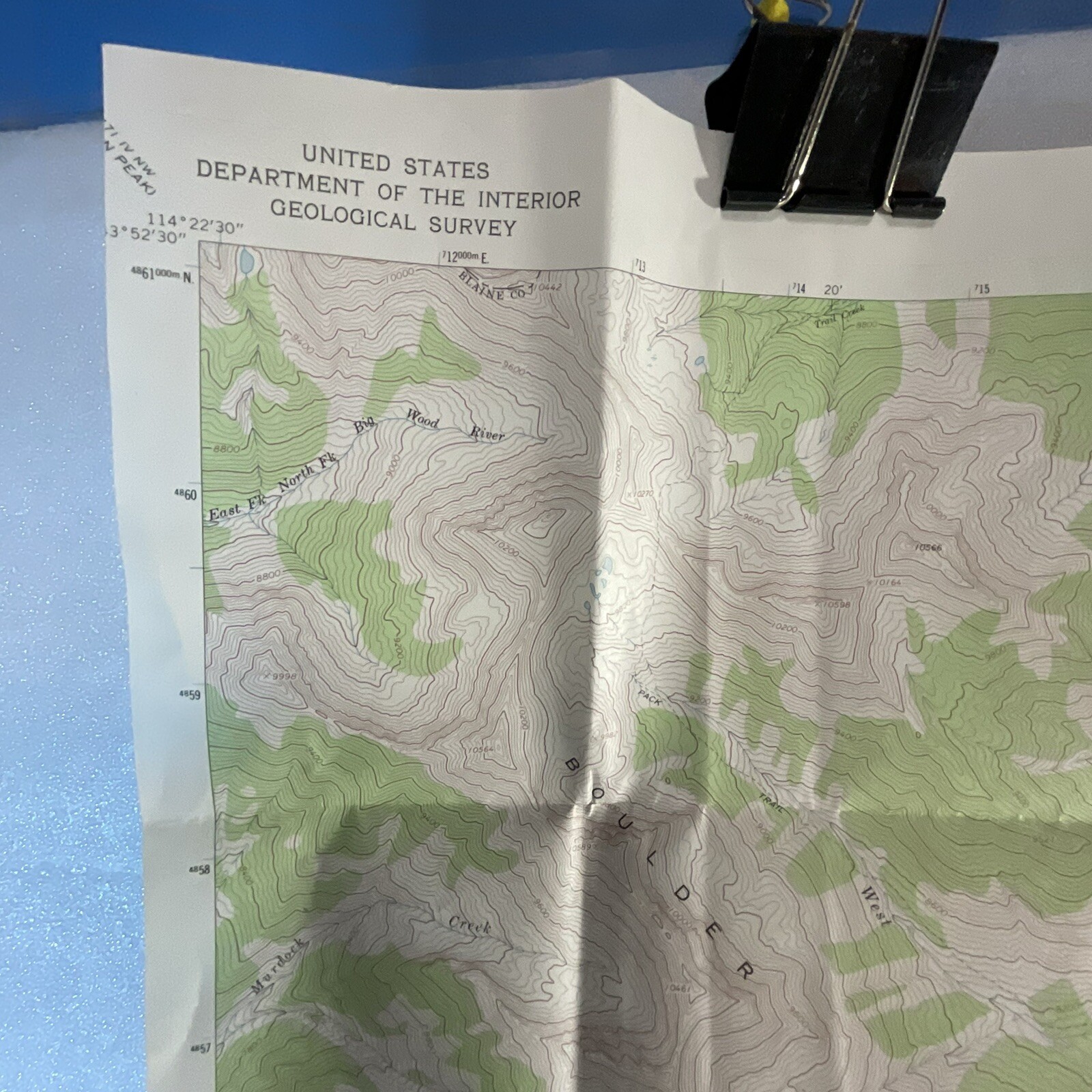
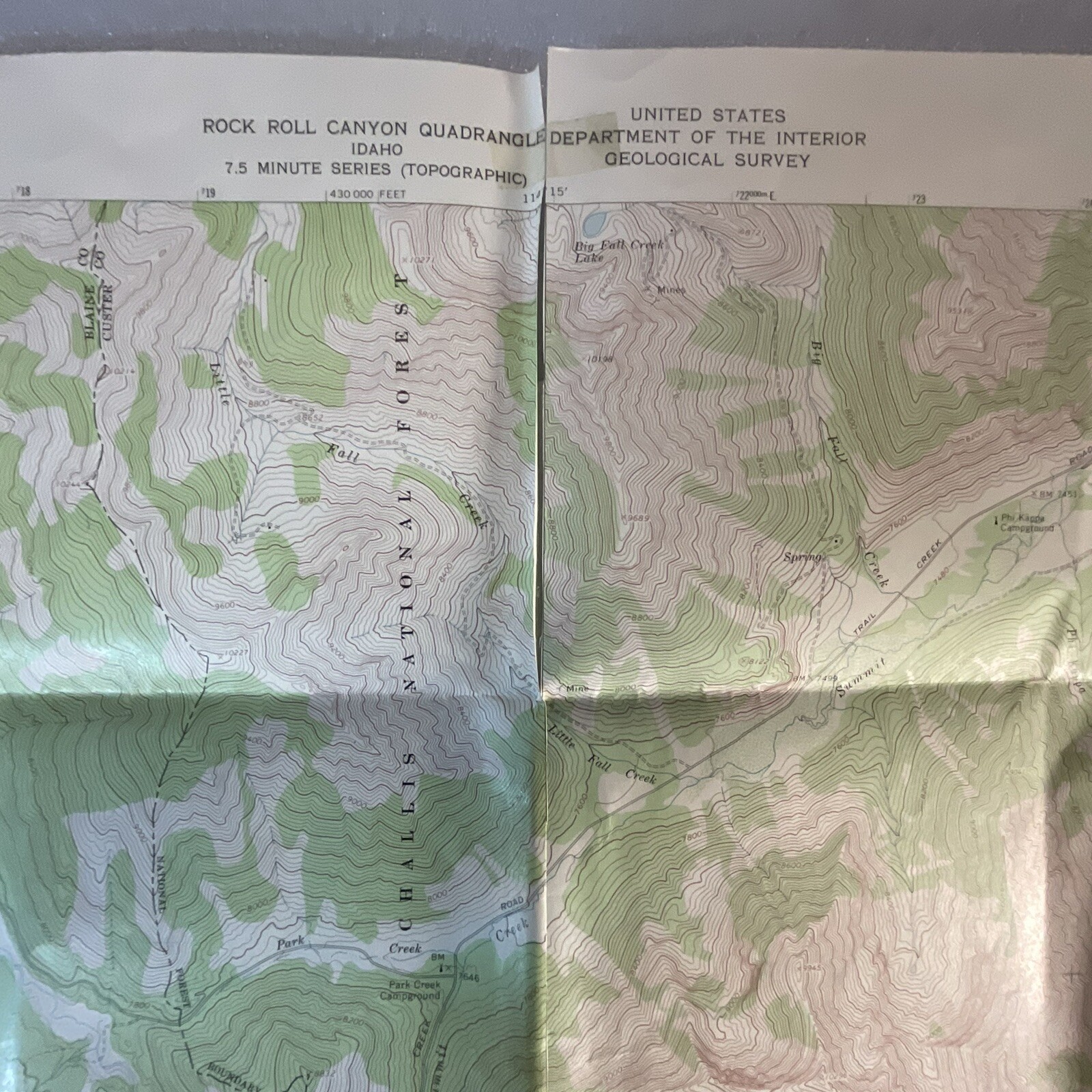
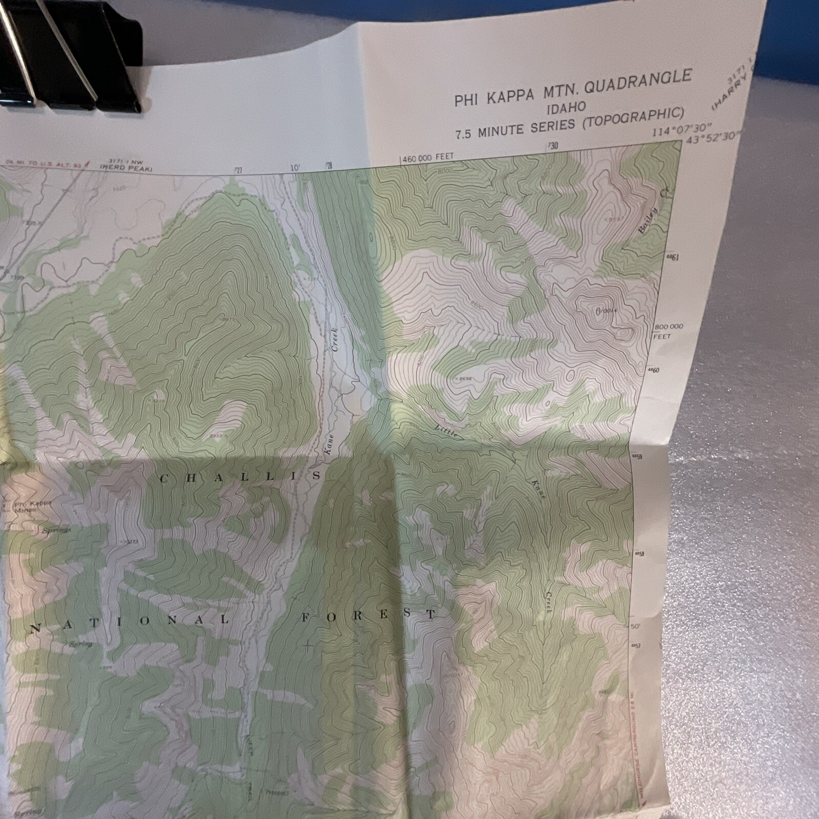
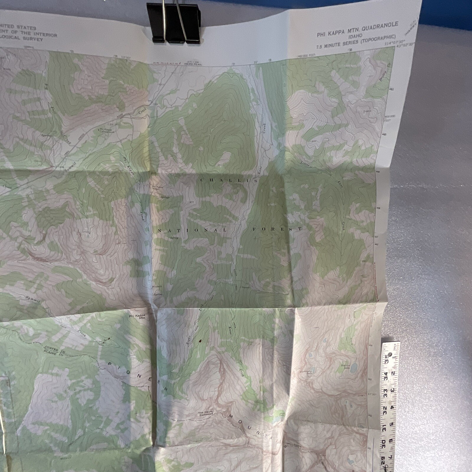
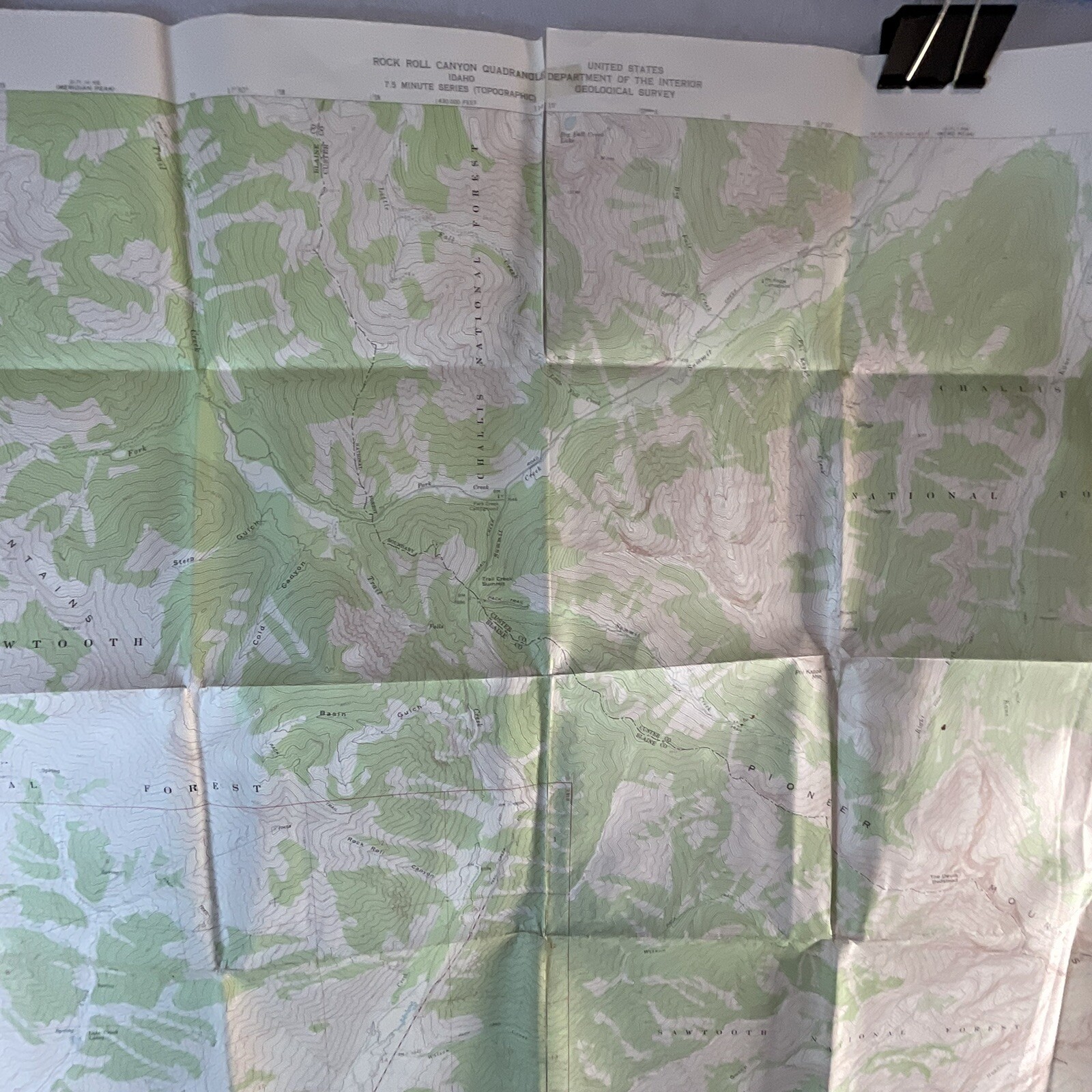
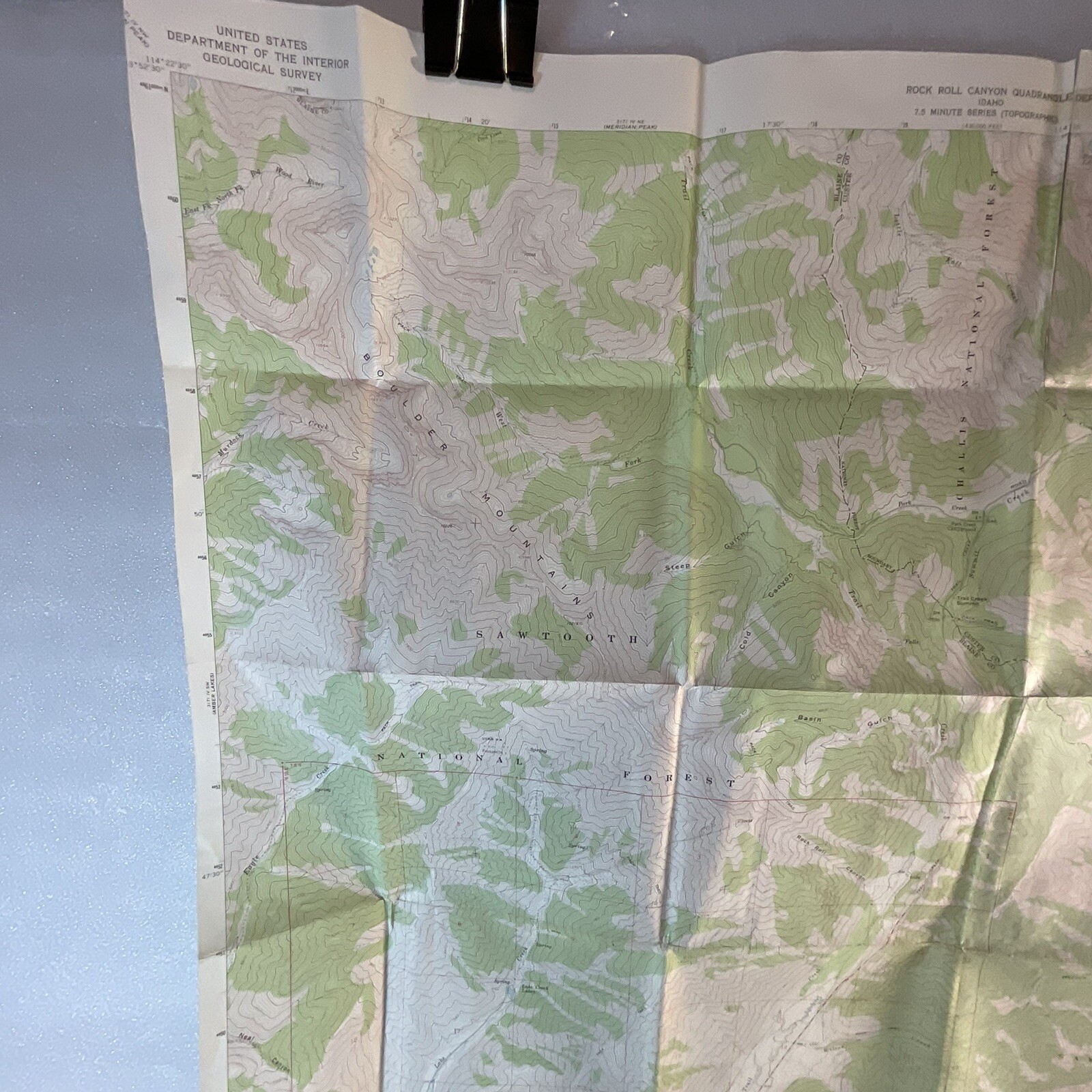
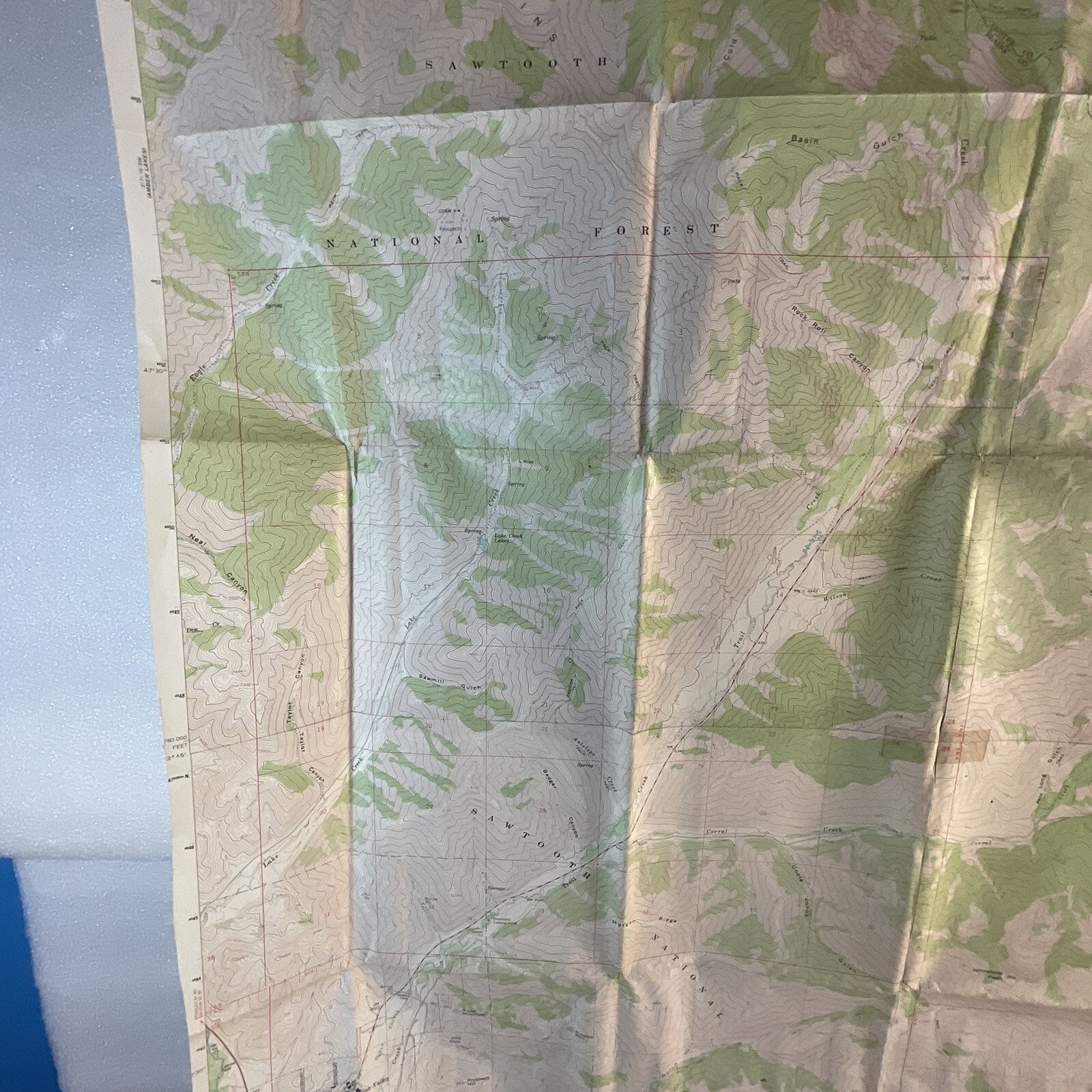
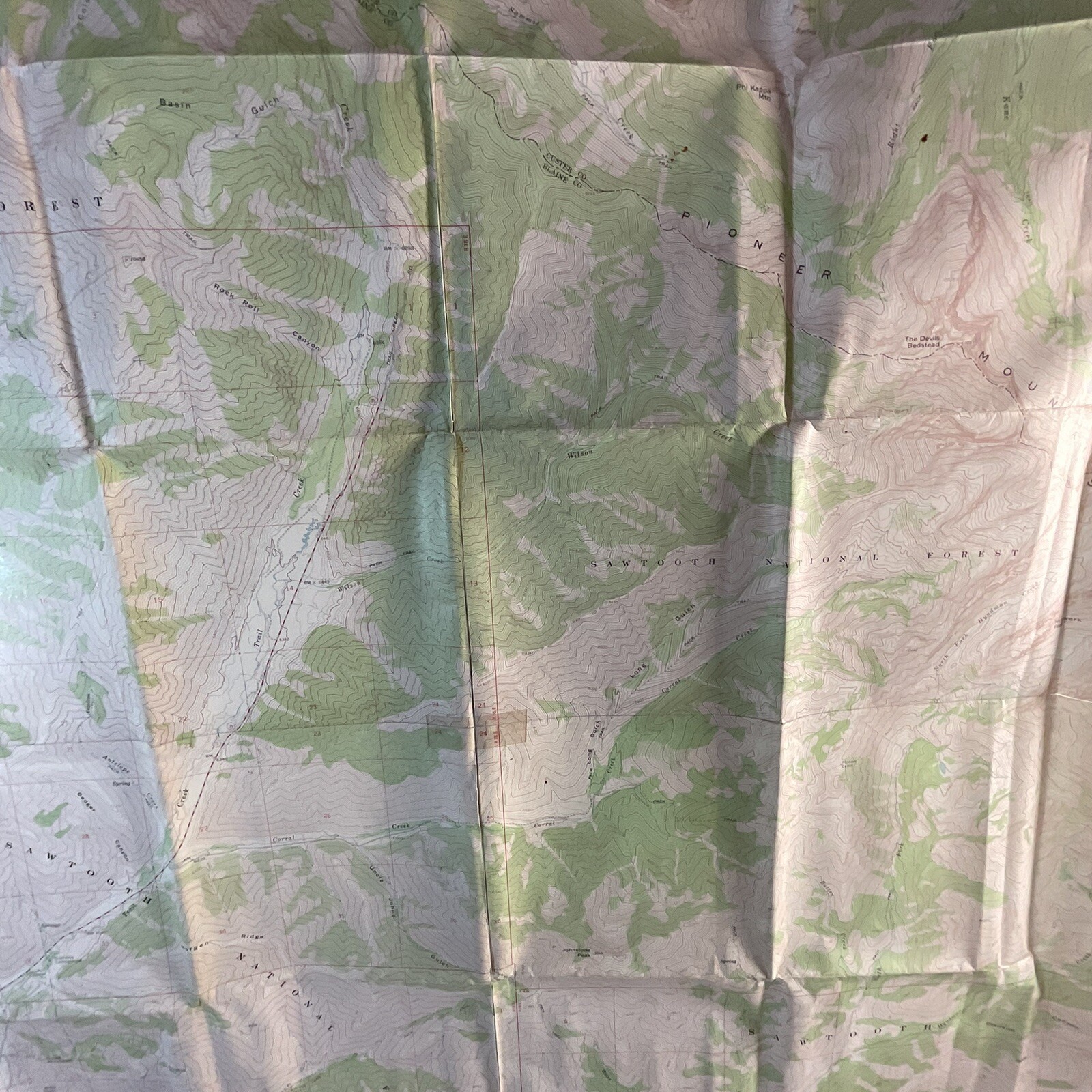
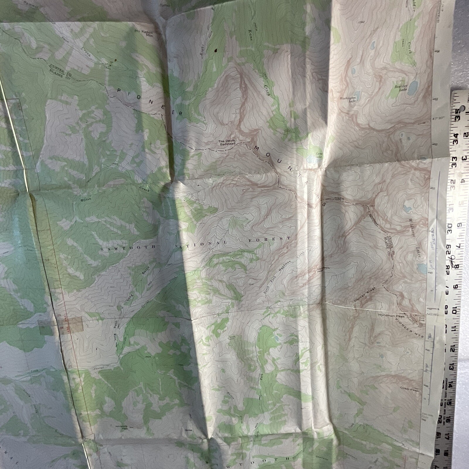
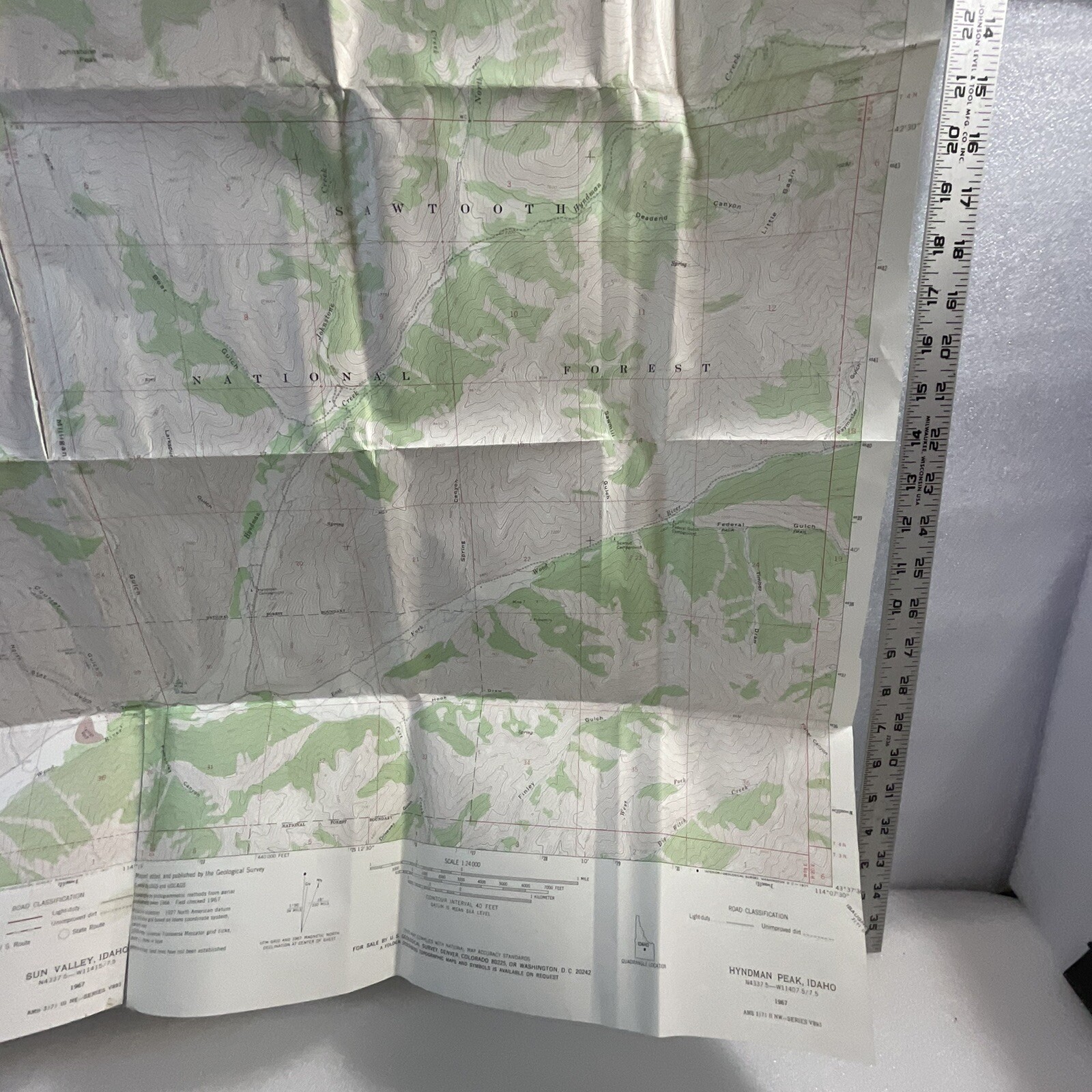
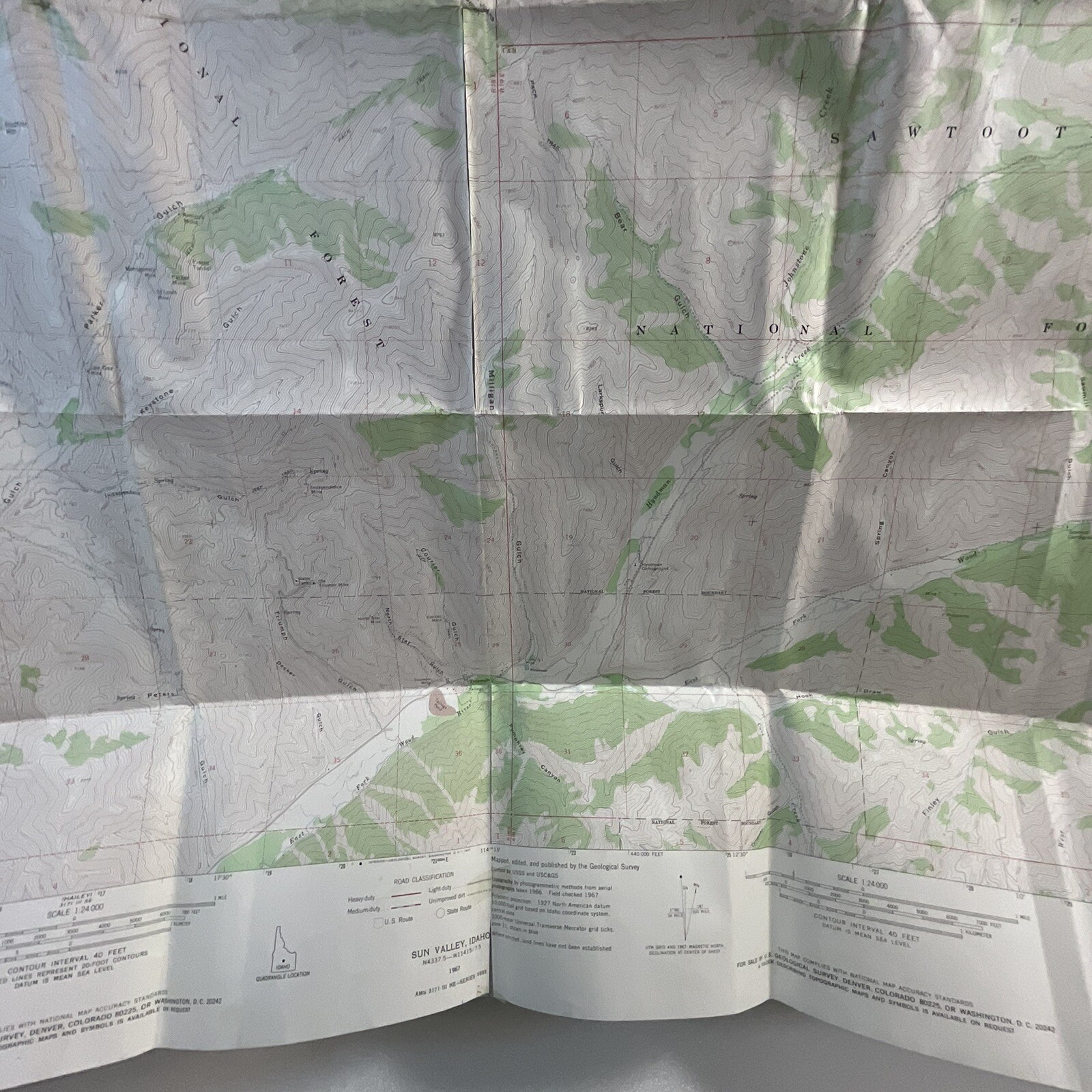
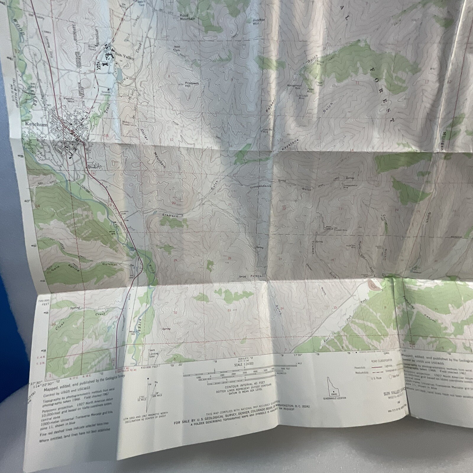
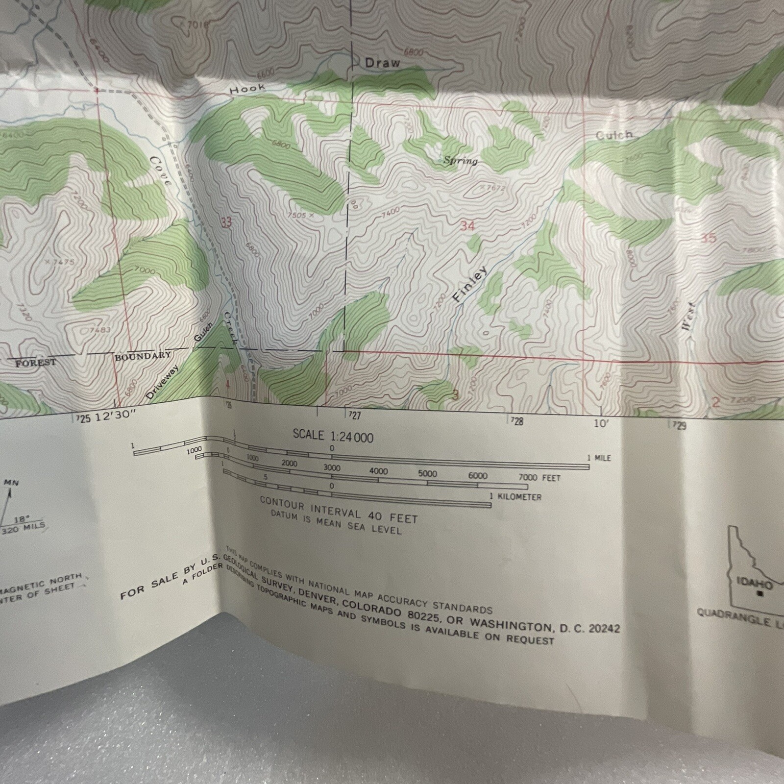
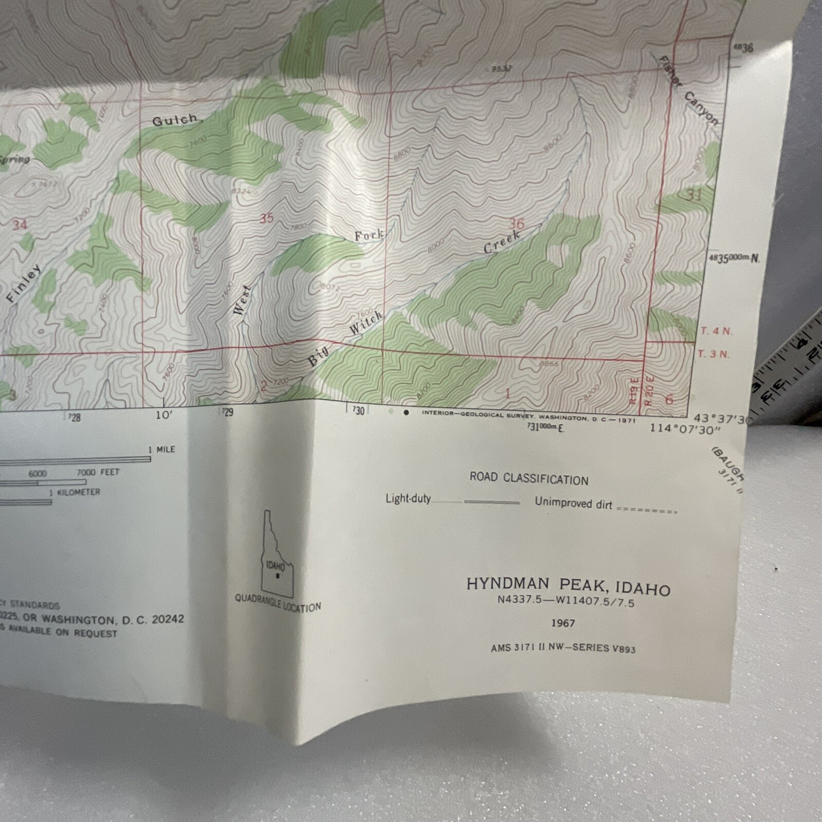
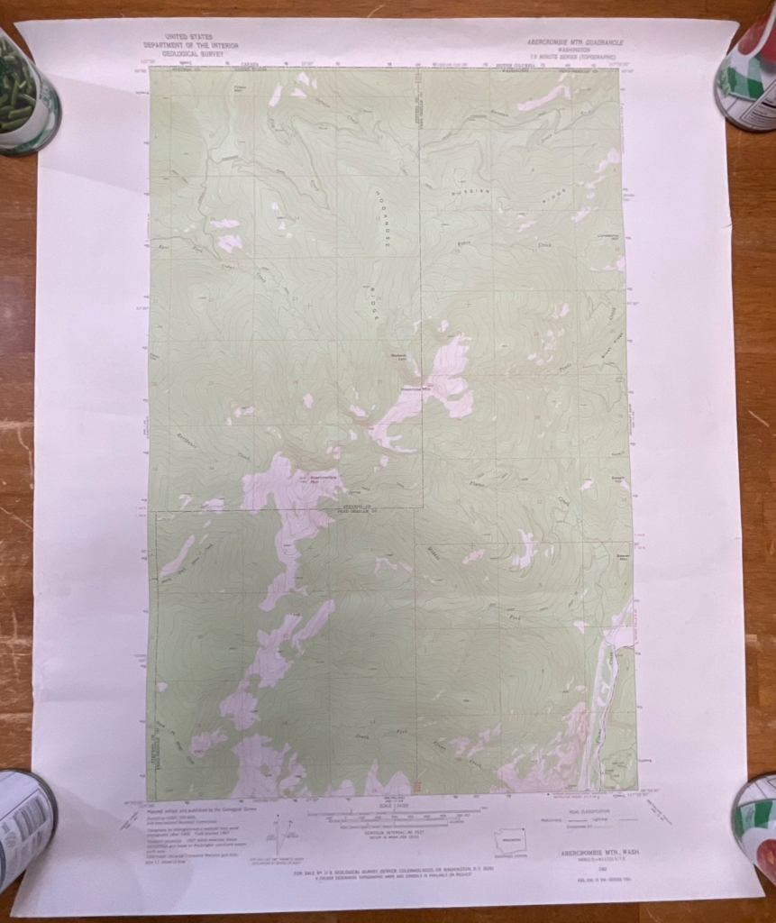
This is a vintage map of Rock Roll Canyon in Idaho, USA.
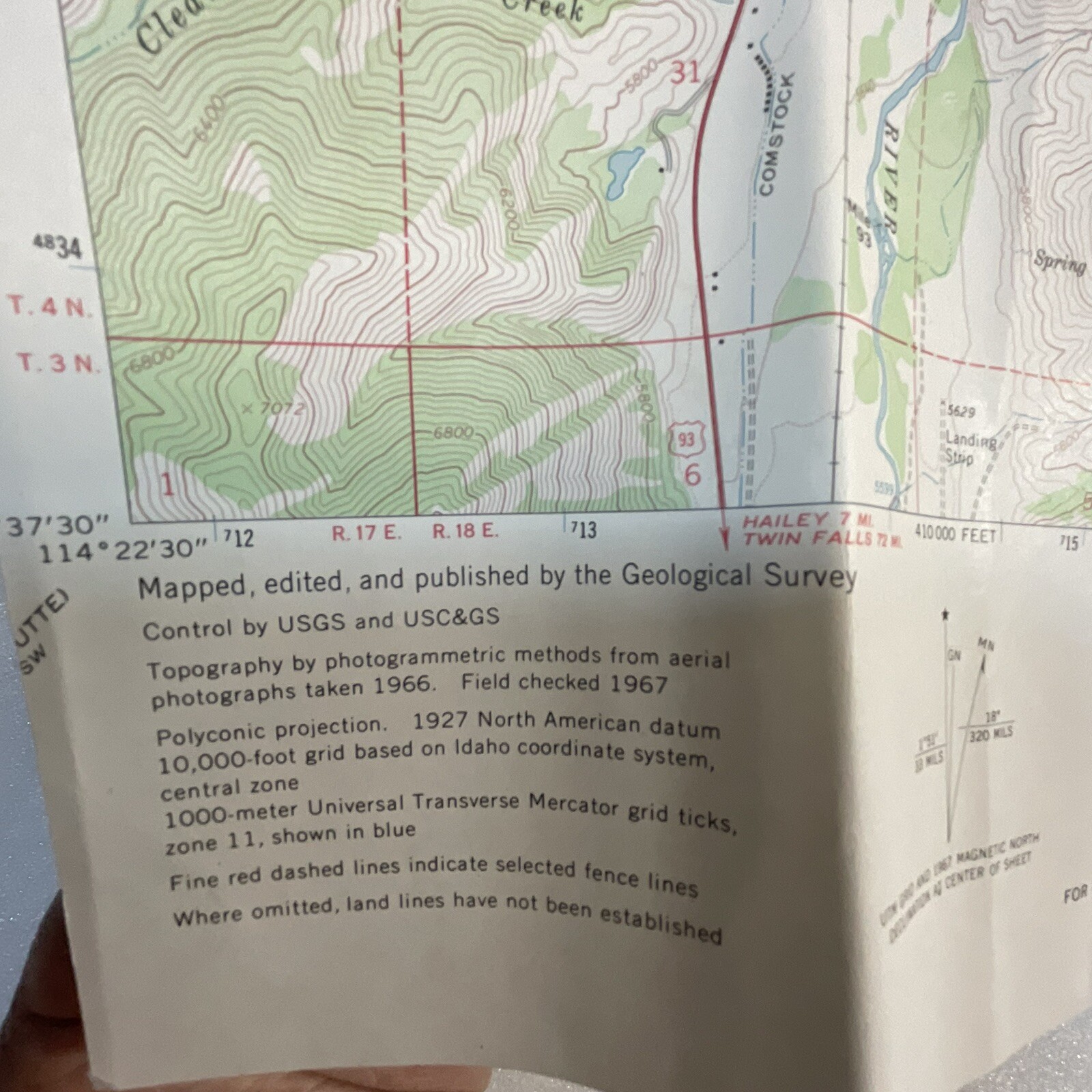
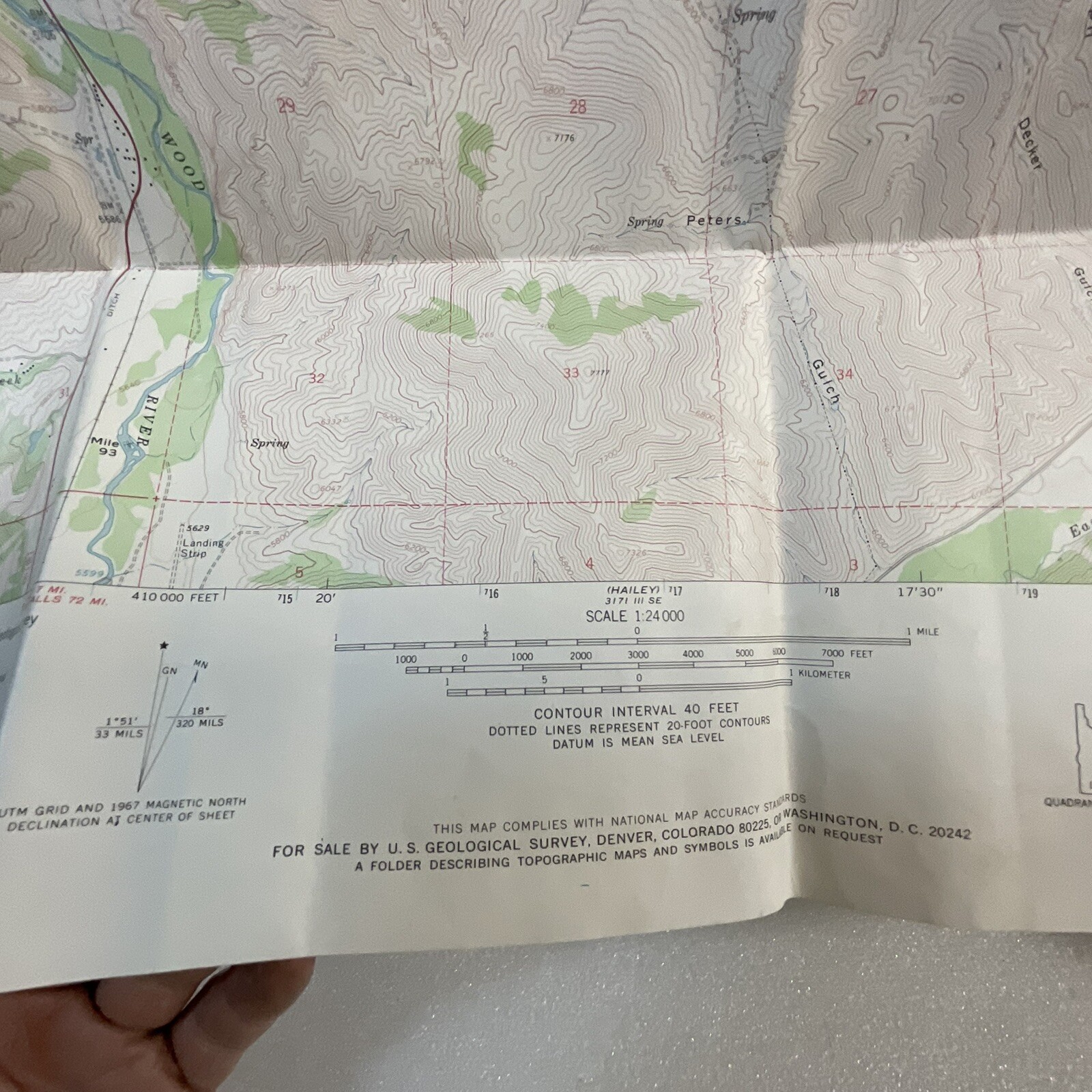
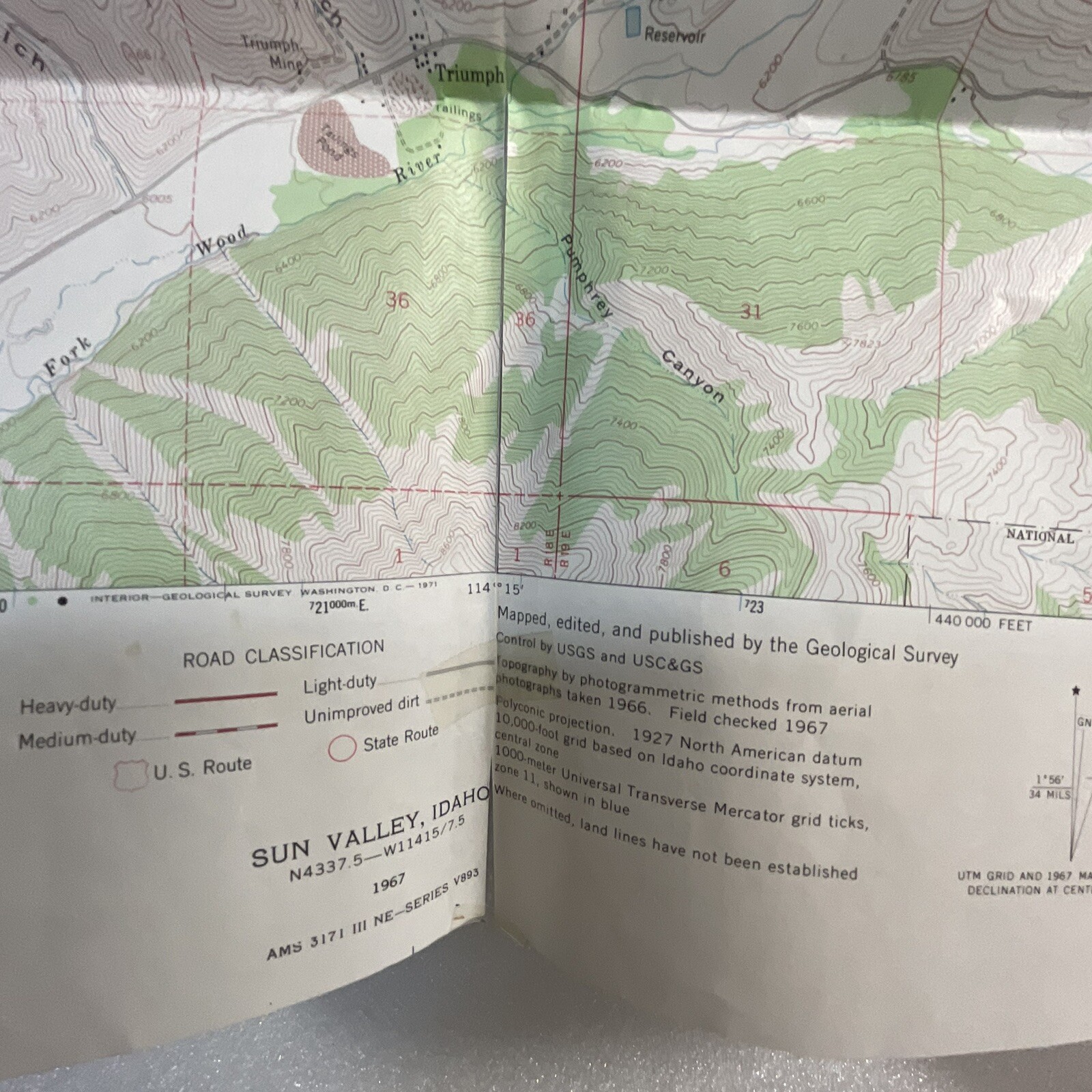
Created as a topographical survey map for the United States Department of the interior.
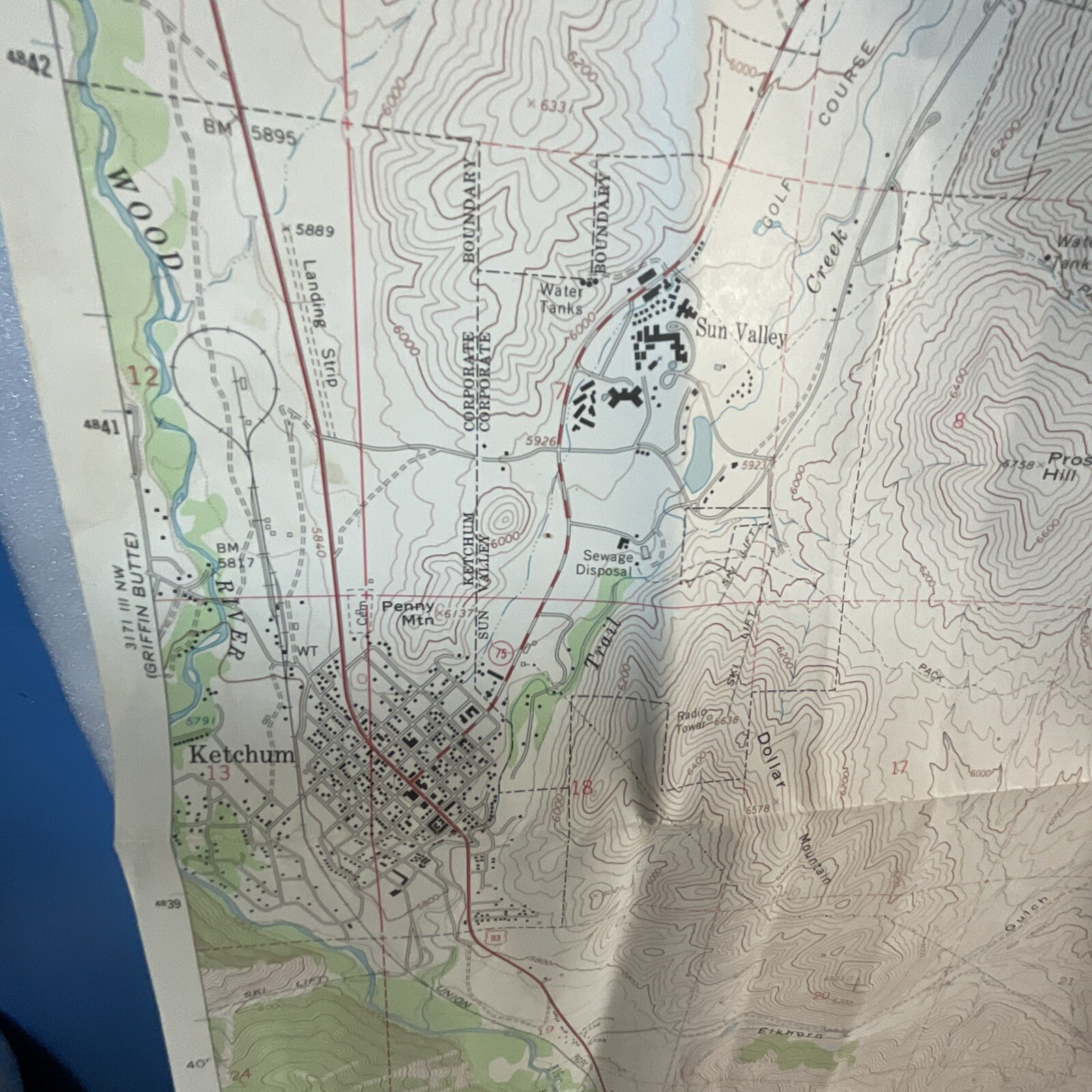
Towns of Ketchum & Sun Valkey with Hyndman Peak.
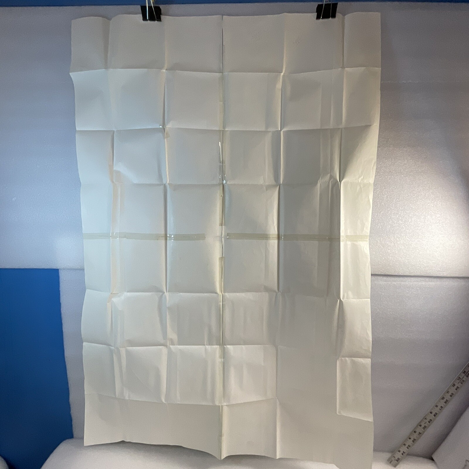
It was created in 1967 and is a quadrangle map measuring approximately 48″x32″.
The map features the Sun Valley Hyndman area and falls under the category of North America Maps.
Map is preowned with some wear, miss folds, potential taping, tears, frays, pencil or pen marks, surface and edge wear. This map in particular has been taped extensively and Miss-folded several ways.












Reviews
There are no reviews yet.