
Description
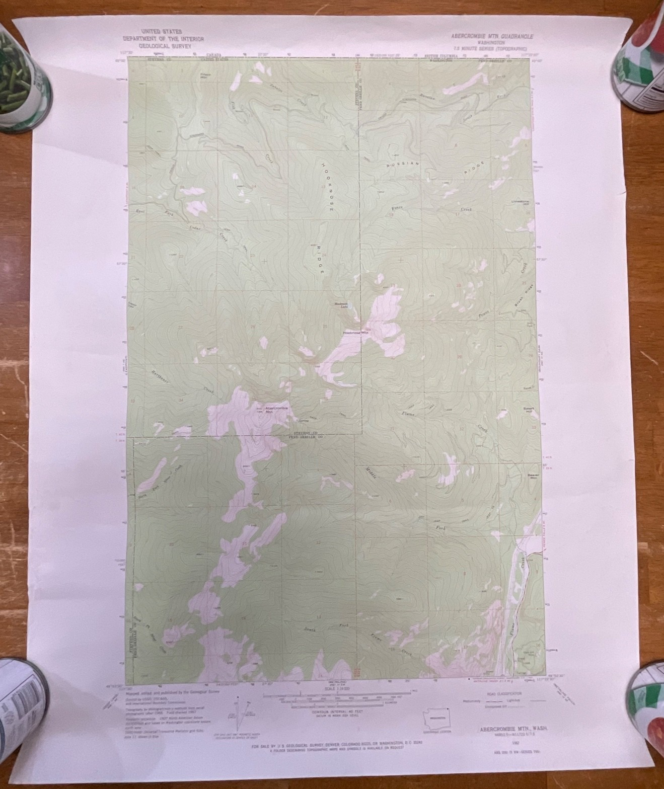
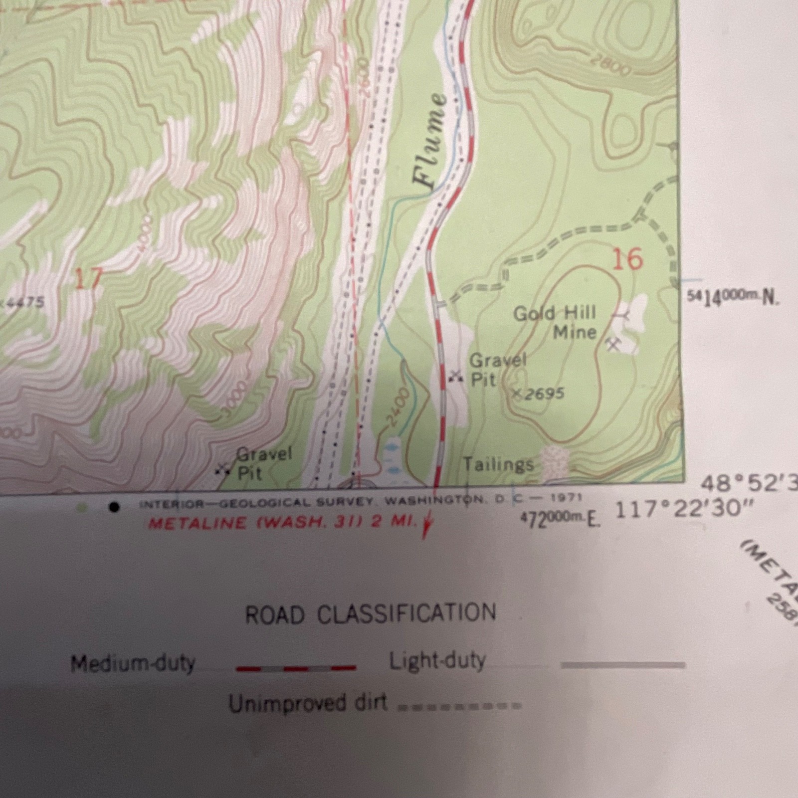
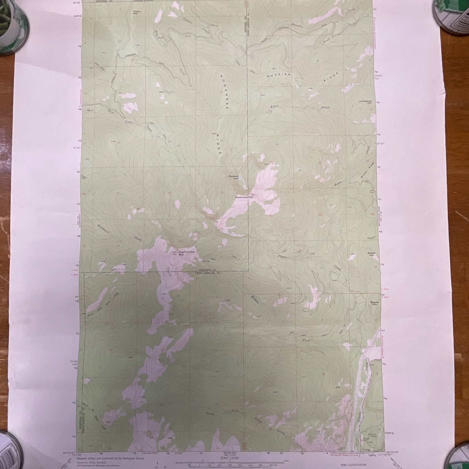
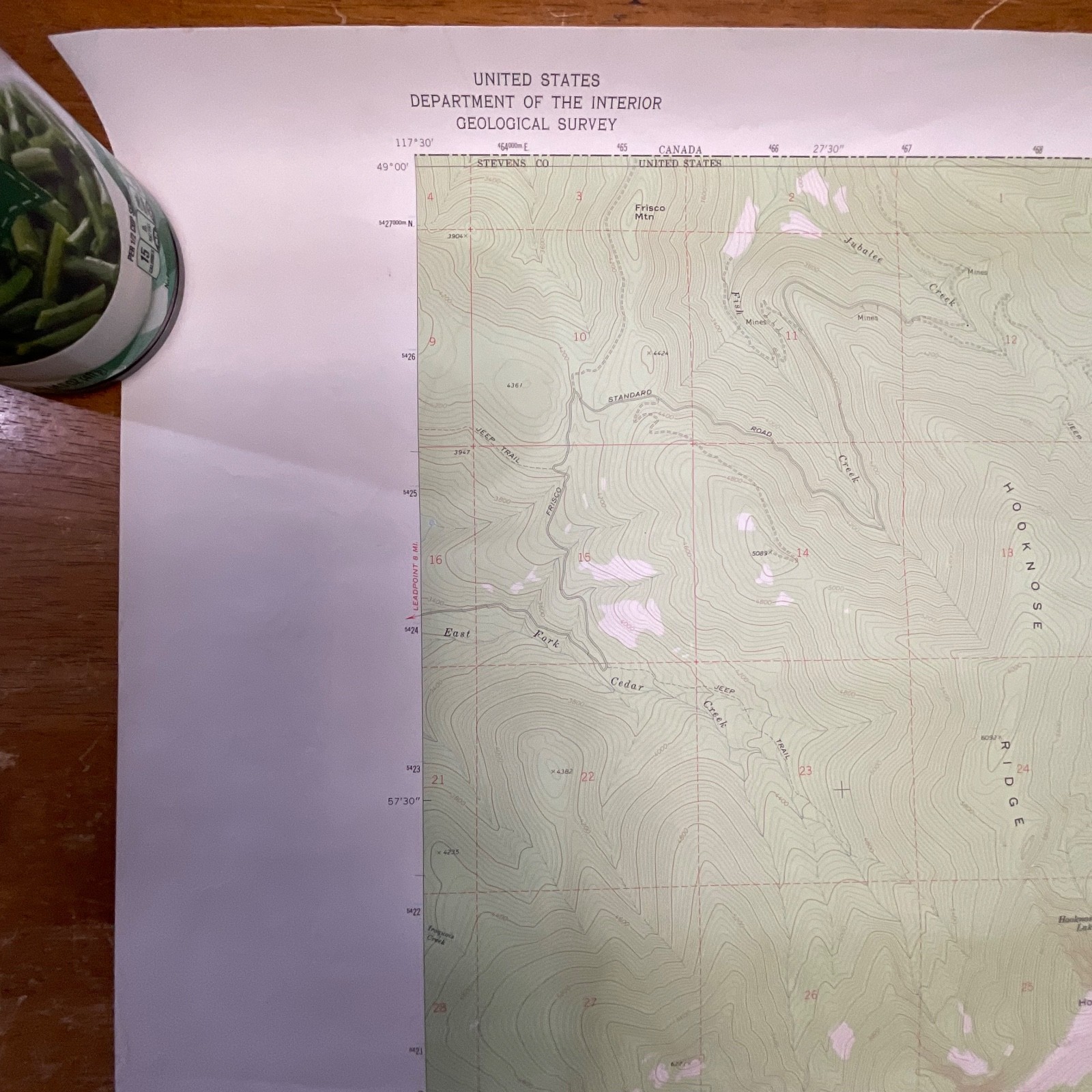
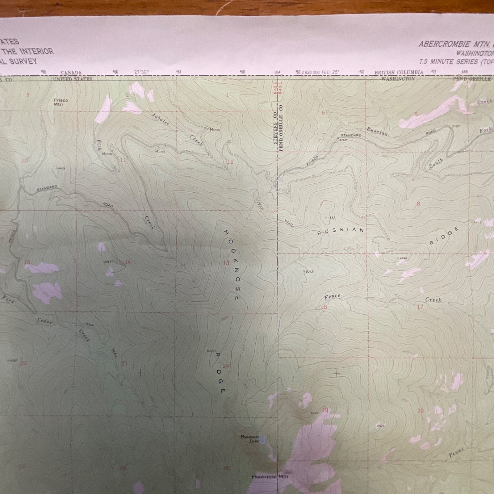
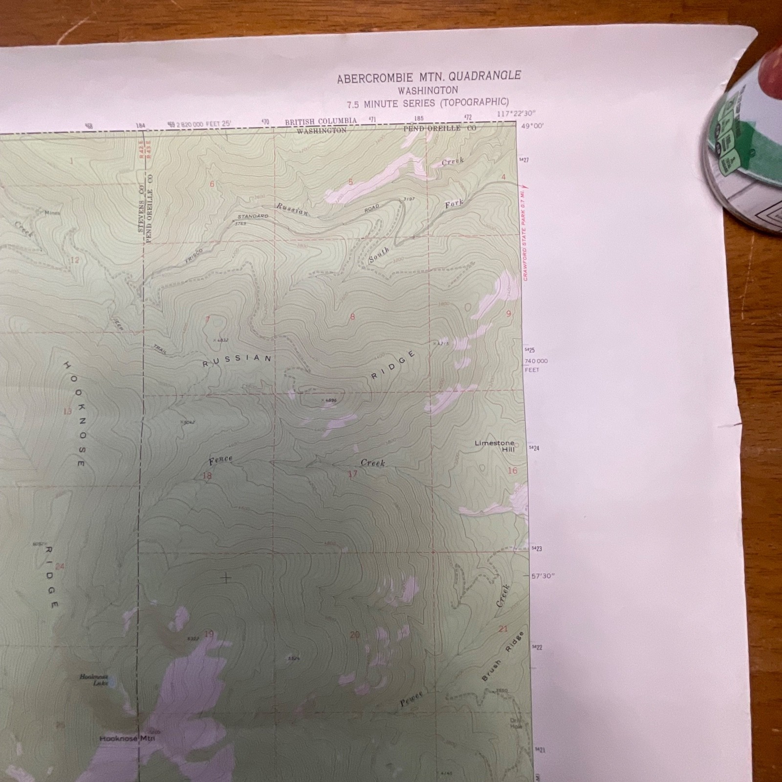
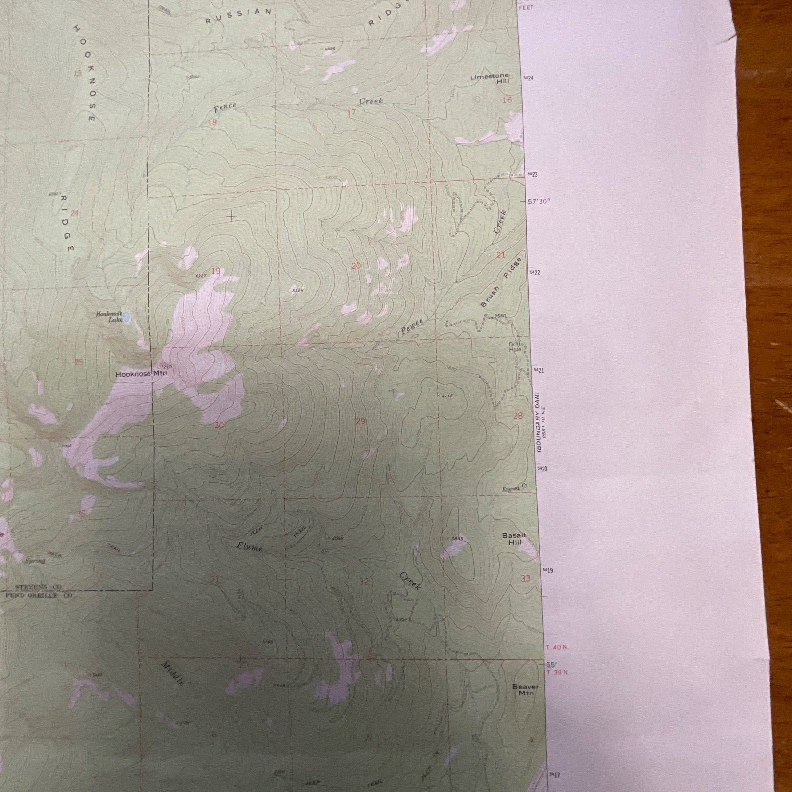
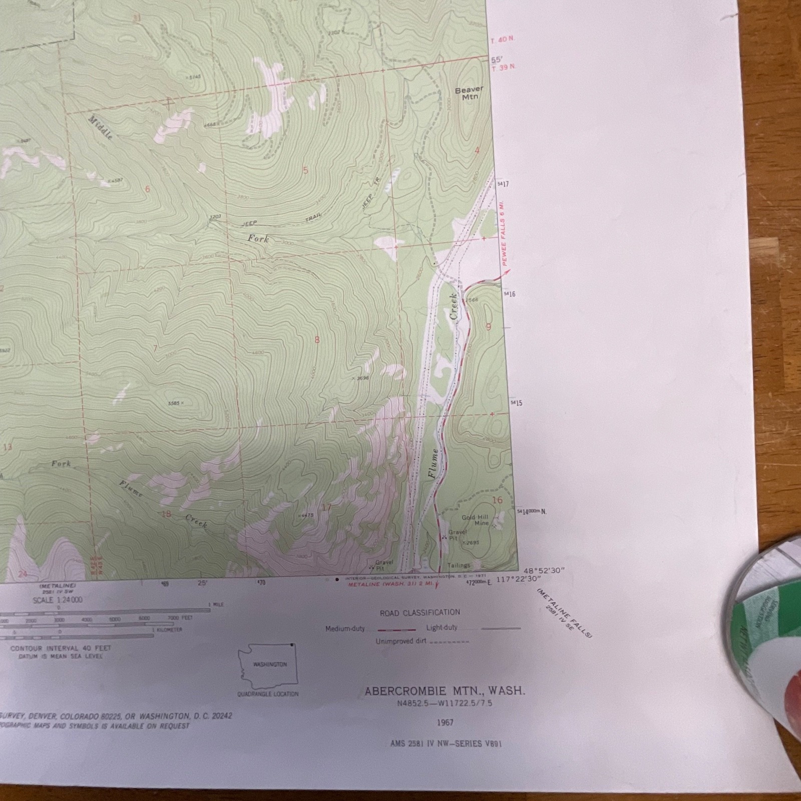
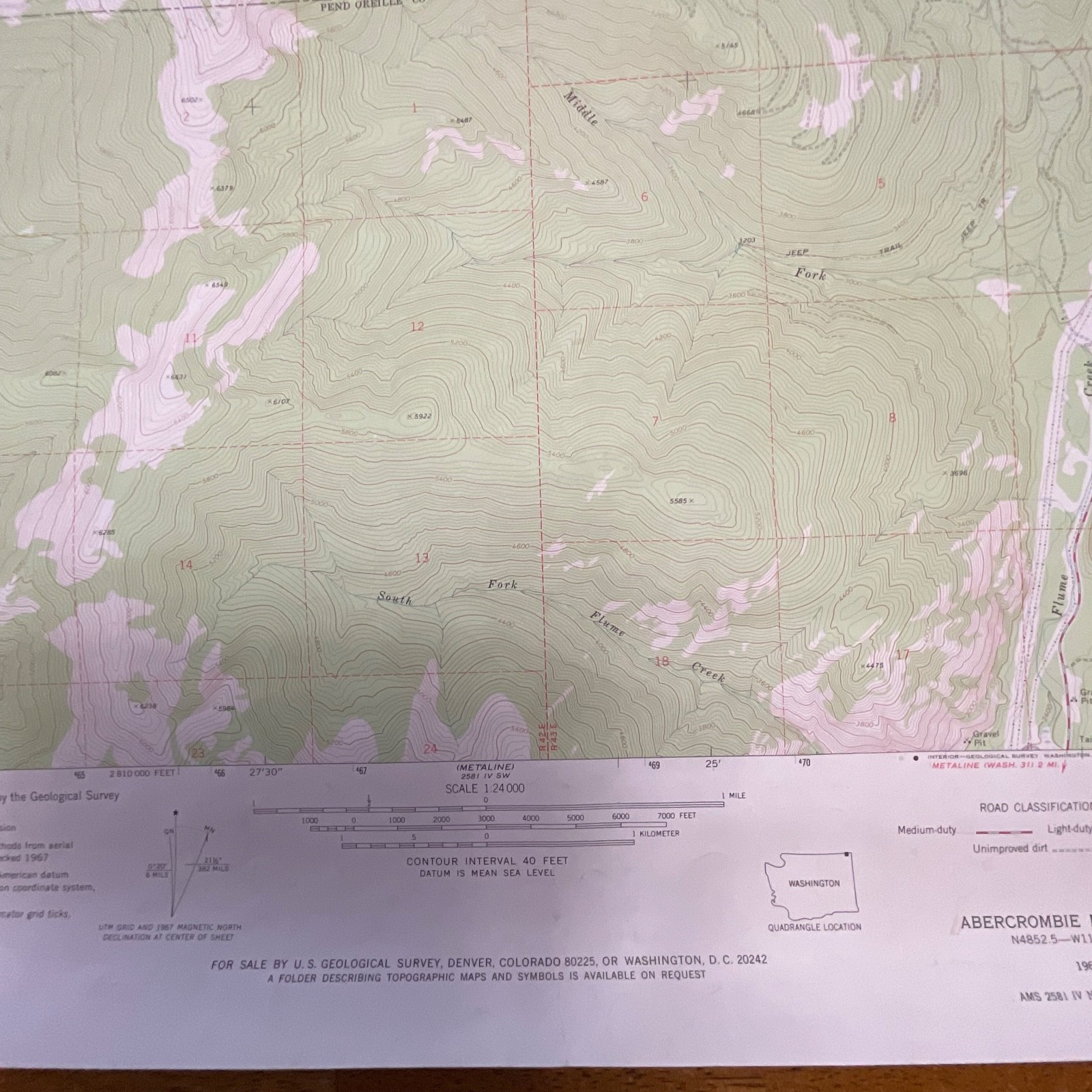
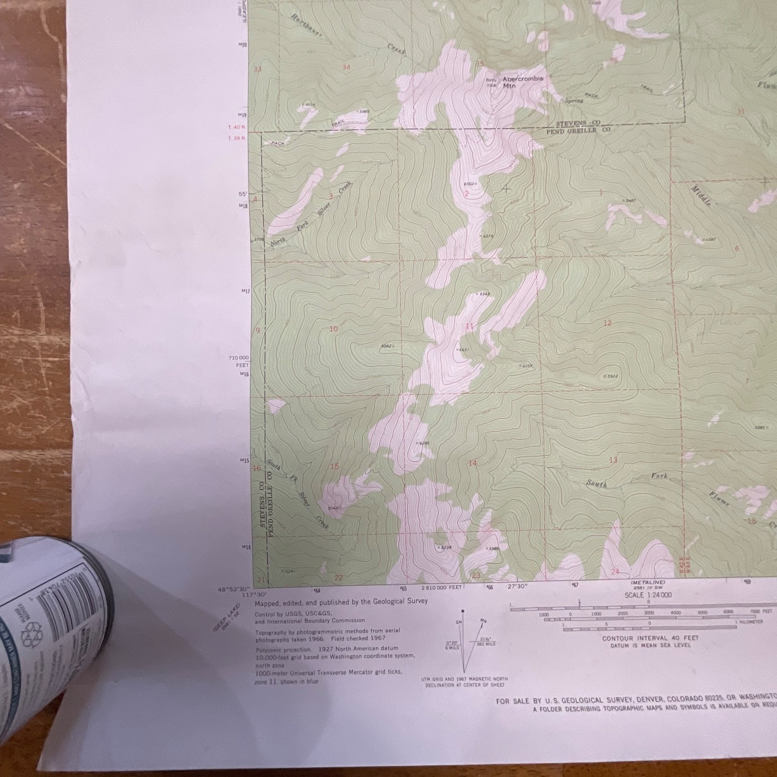
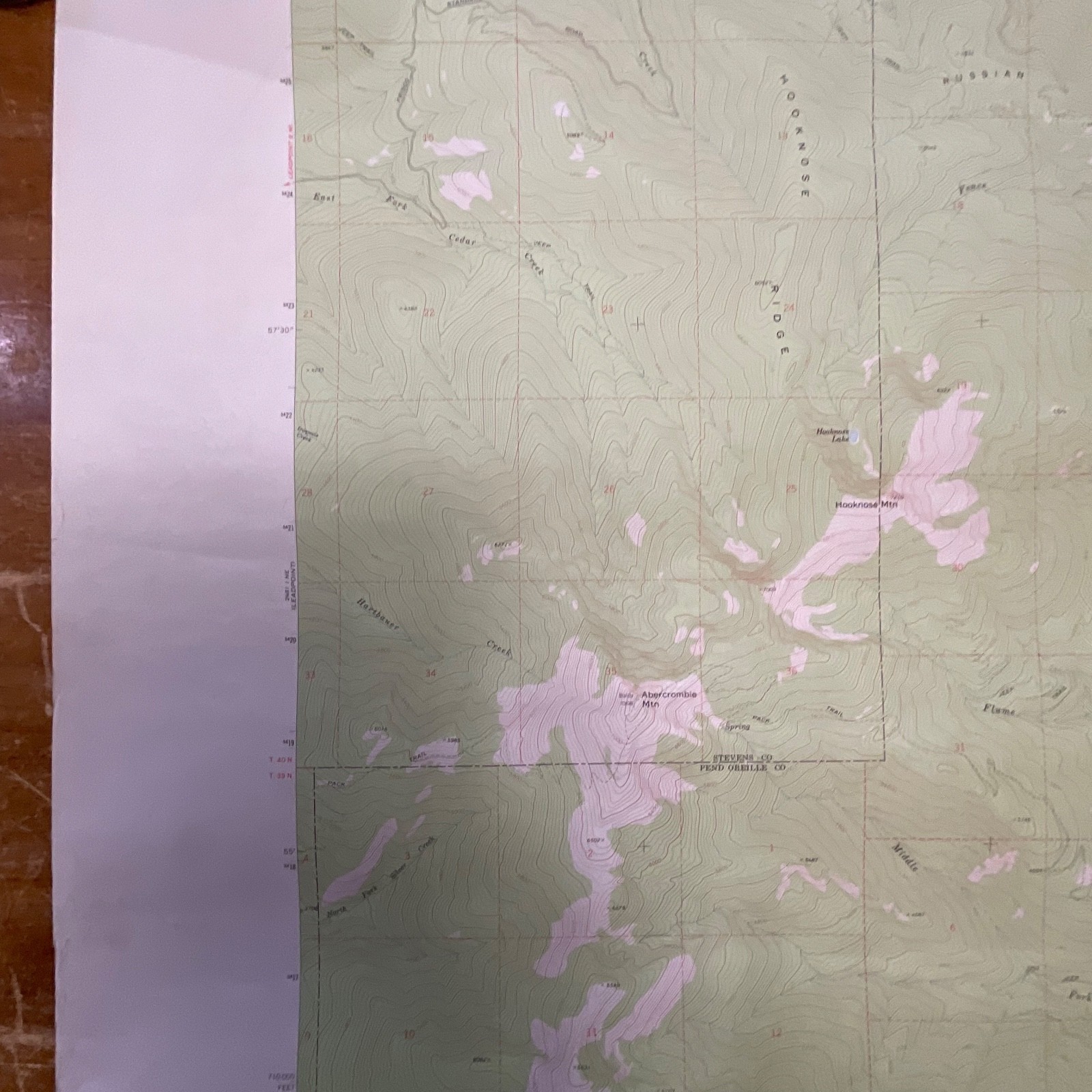
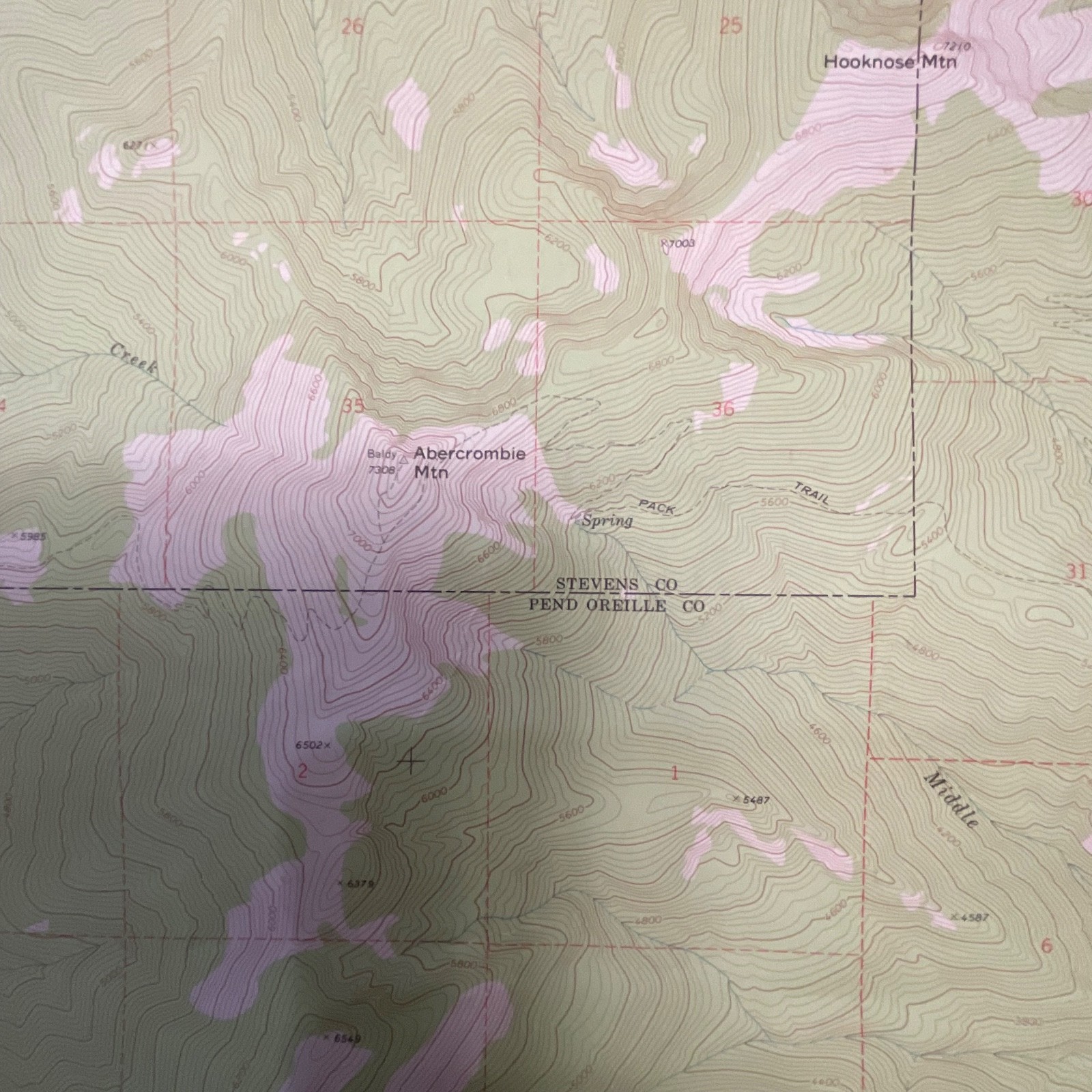
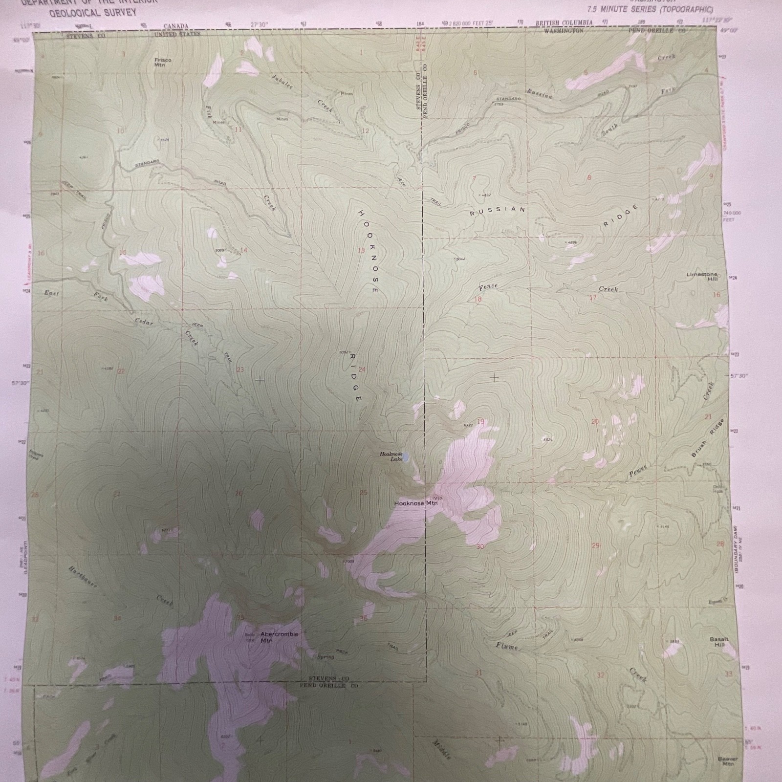
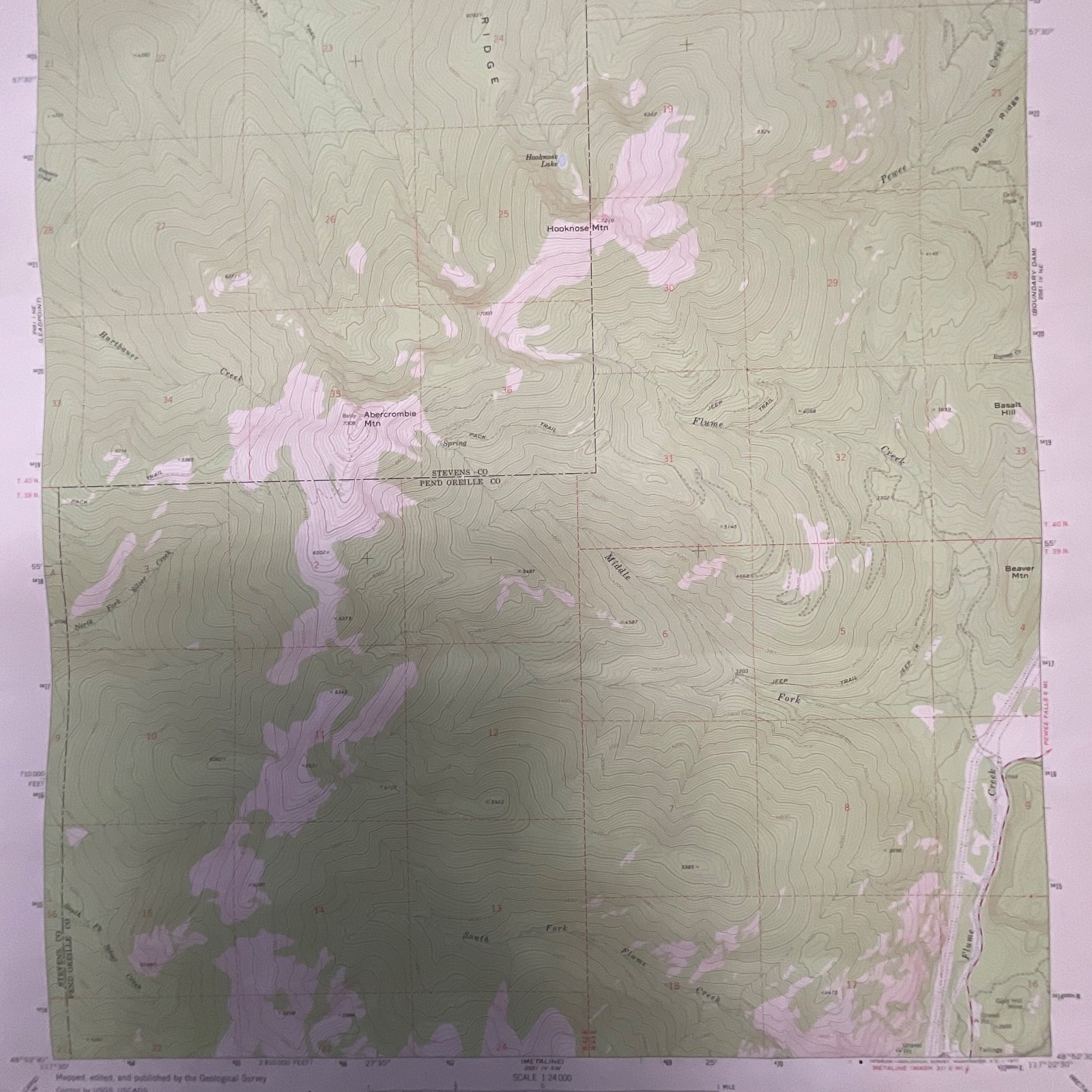
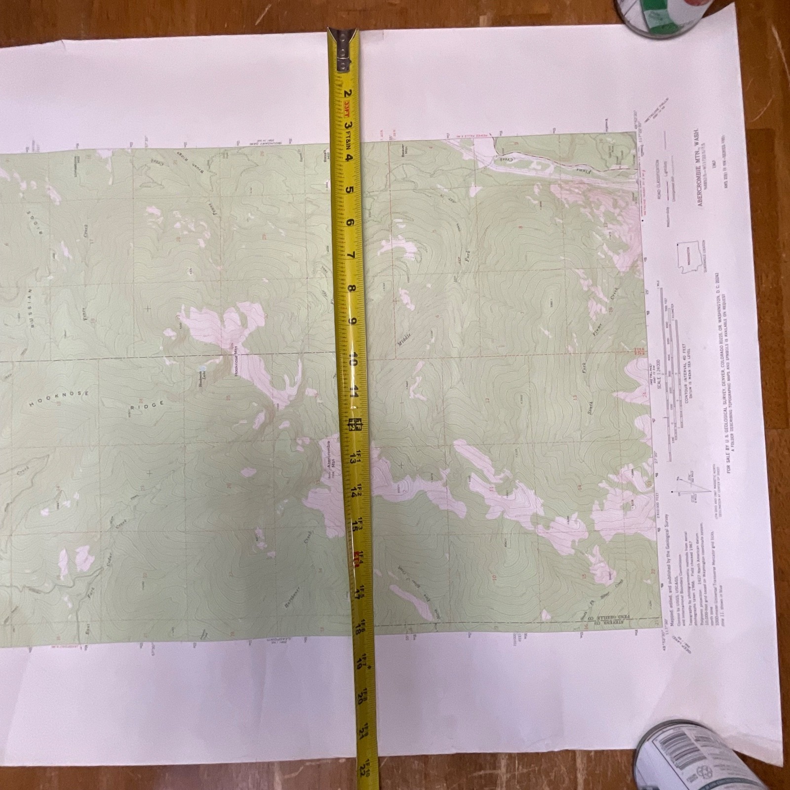
This is an original 1971 USGS topographic map of the Abercrombie Mountain quadrangle in Washington, featuring detailed terrain shading, contour lines, and marked elevations across Stevens and Pend Oreille counties. It displays the classic coloration and cartographic style used by the United States Geological Survey during this era.
The map is printed on standard USGS survey paper and includes features such as labeled ridges, creeks, mine sites, trail markings, elevation ticks, and border coordinates. The maker information is clearly printed along the margins, identifying it as a United States Department of the Interior Geological Survey production. Minor edge wear and light handling signs are visible, consistent with vintage storage and use.
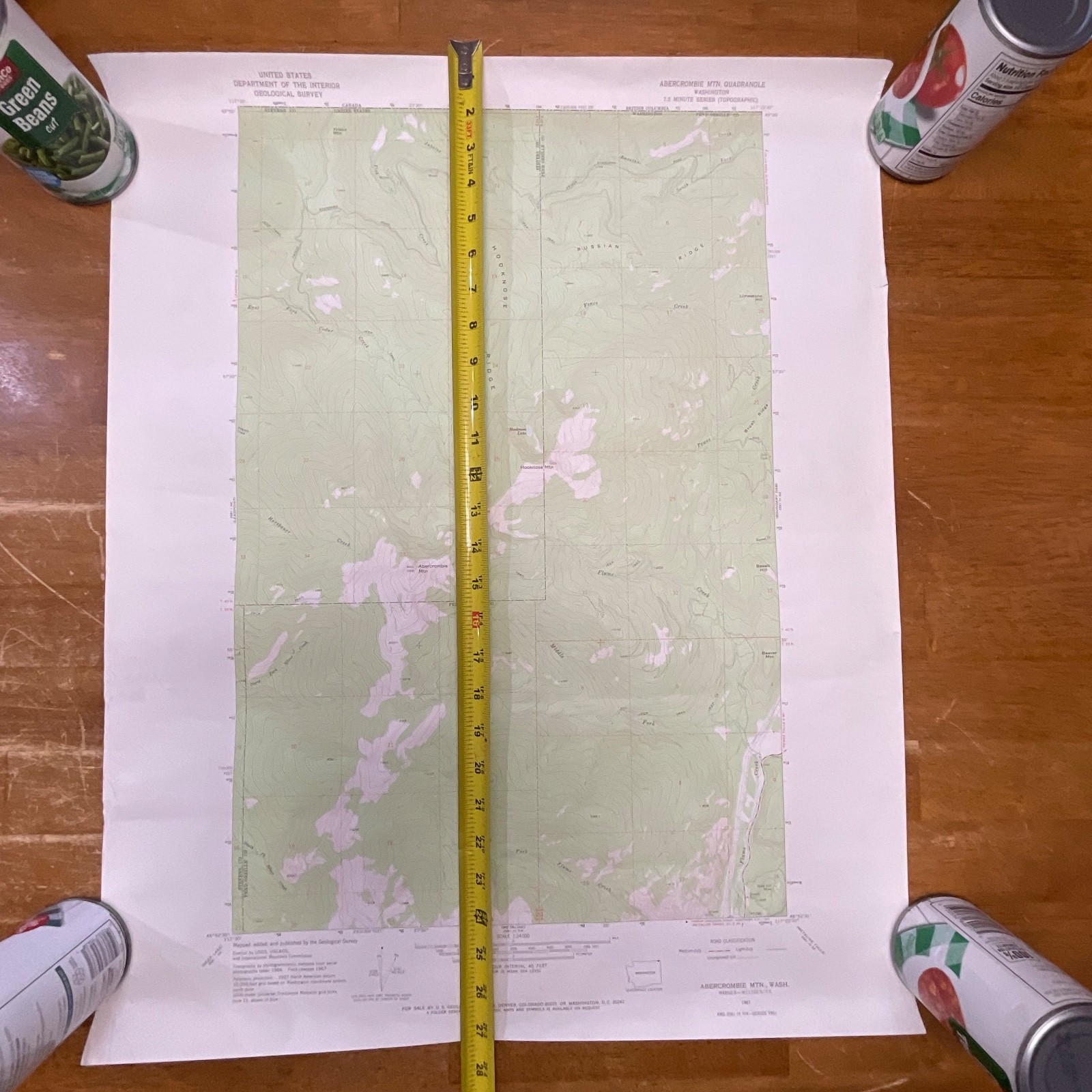
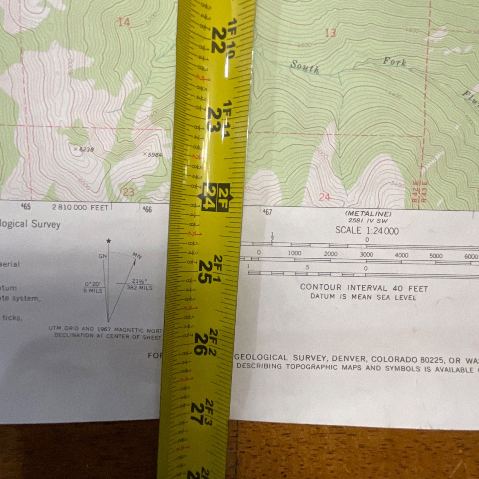
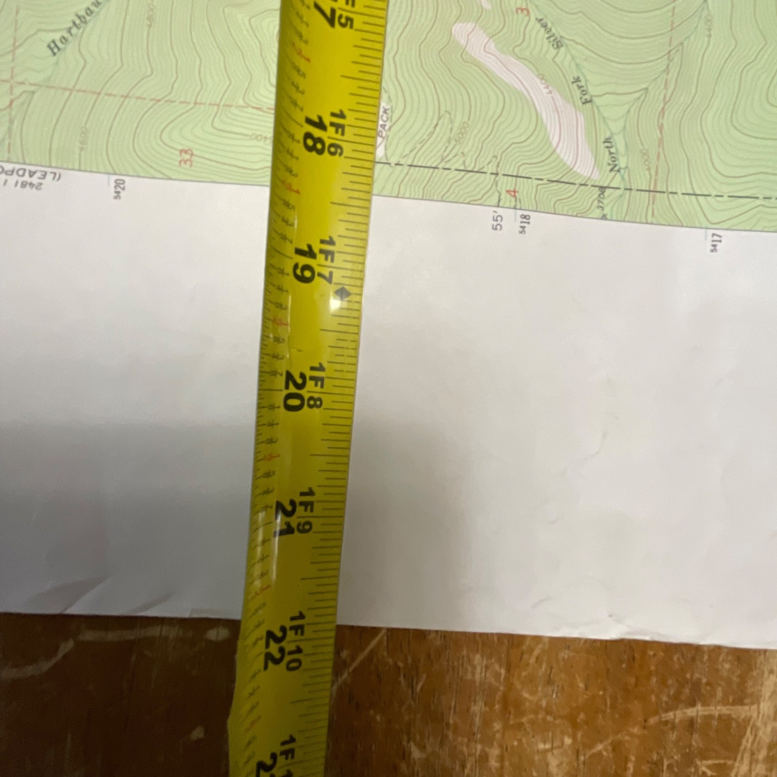
Measurements: approximately 27in x 22in.
Shipping note: Ships securely with protective packaging; prompt shipping excluding Federal Holidays.
Condition Description
Pre-owned vintage condition with light edge wear and surface handling typical of stored survey maps. No major tears or stains visible. Please review all photos for exact condition before purchase.
Item Specifics
• Category: Maps & Atlases
• Type: Topographic Map
• Style: USGS 7.5 Minute Series
• Material: Paper
• Color: Green/White/Black/Red (standard USGS topo coloration)
• Size: 27in x 22in
• Era: 1971
• Occasion: Outdoor, Hiking, Collecting, Reference
• Gender/Unisex: Unisex
• Brand/Signature: United States Geological Survey (USGS)
• Country/Region of Manufacture: United States
• UPC: Not present
Reviews
There are no reviews yet.