
Description
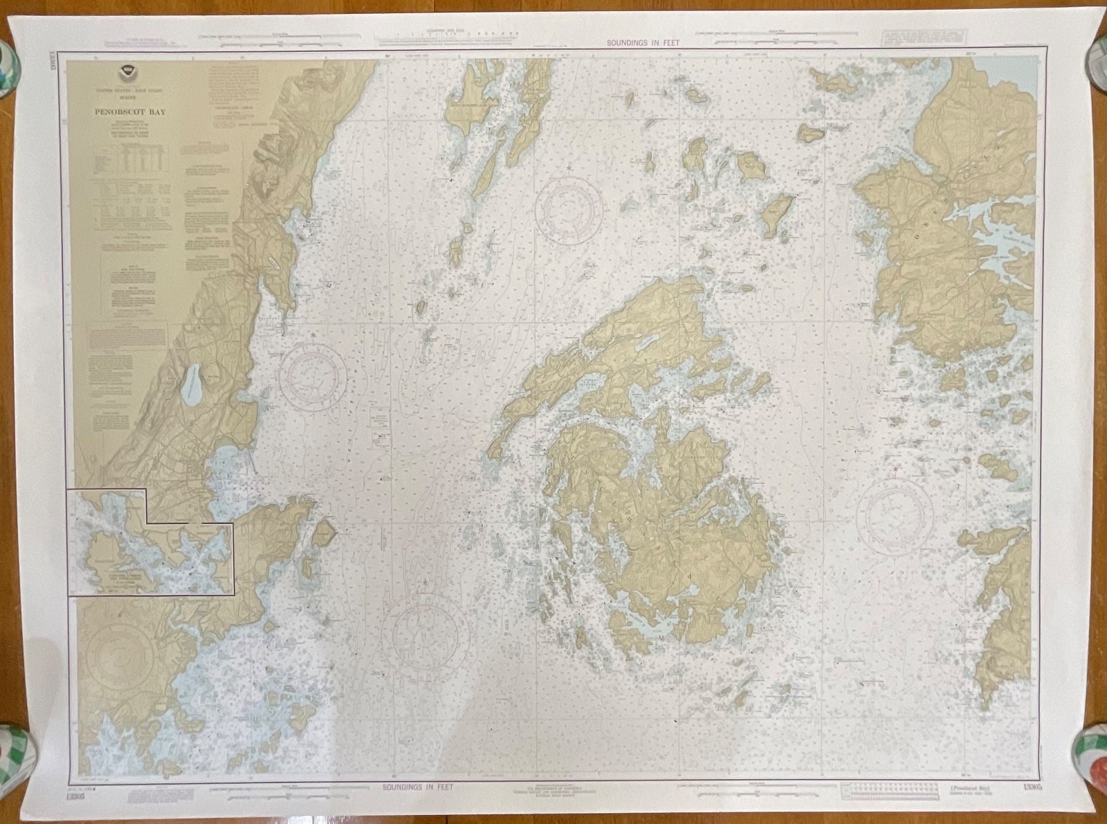
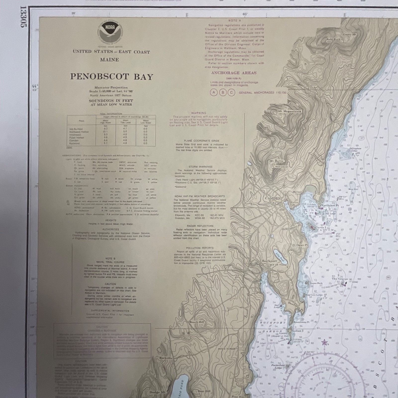
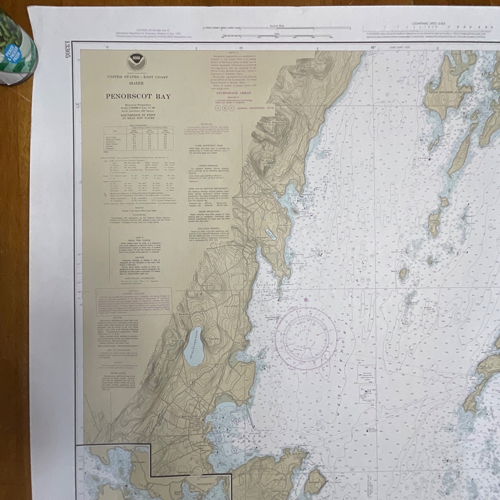
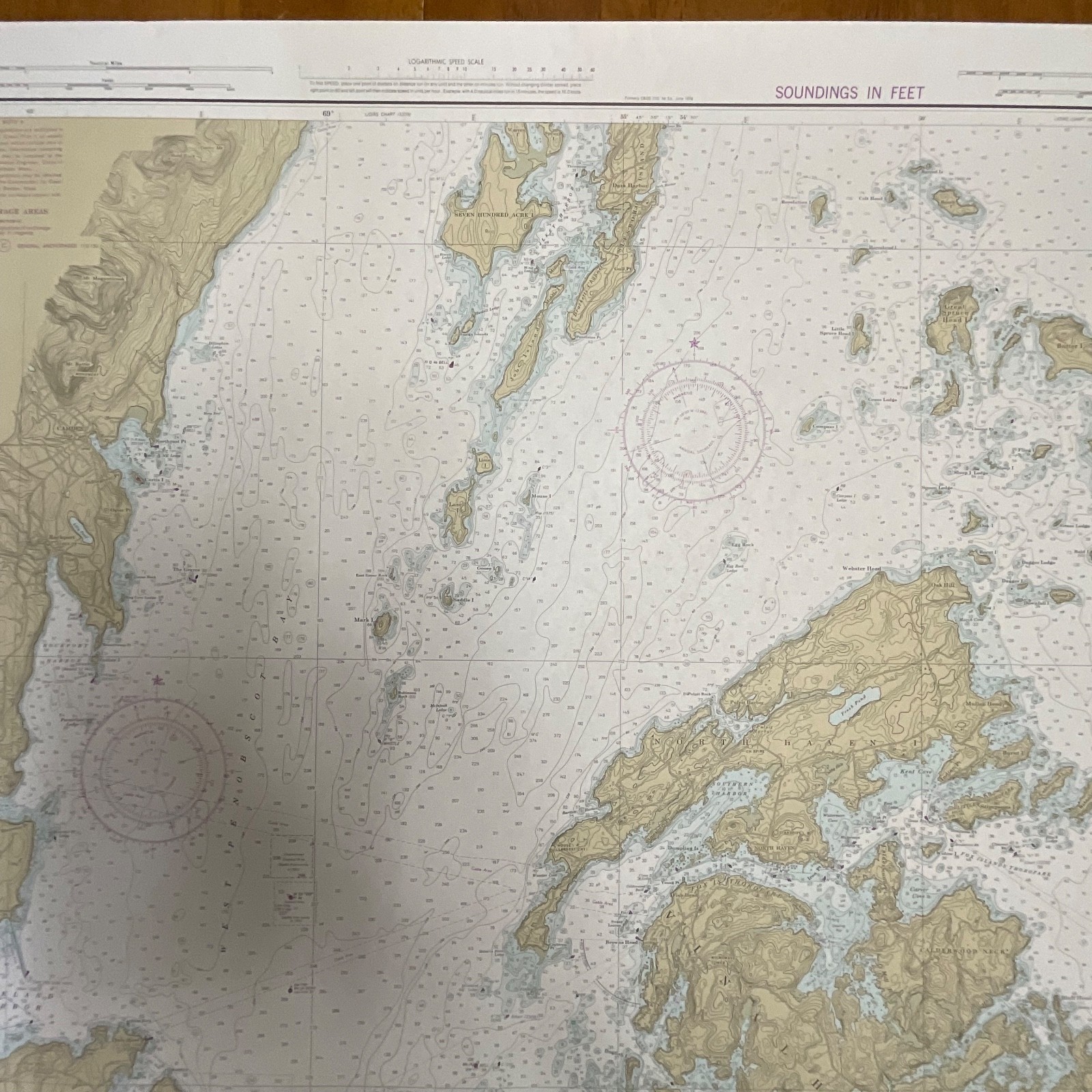
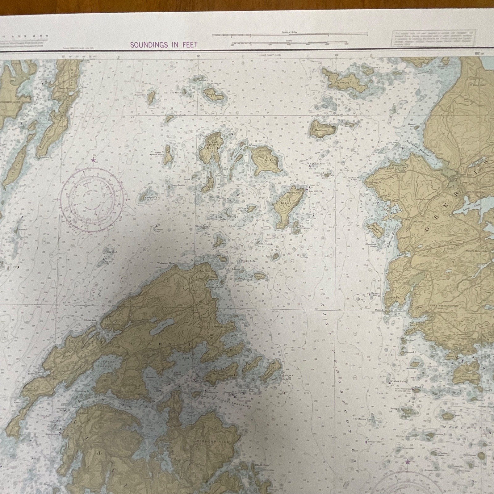
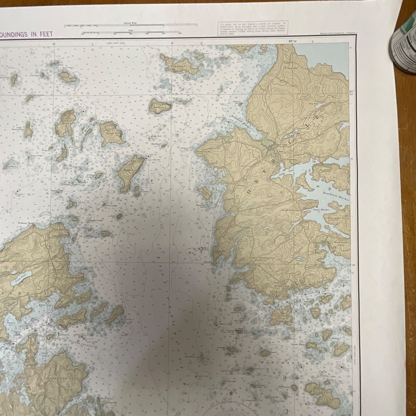
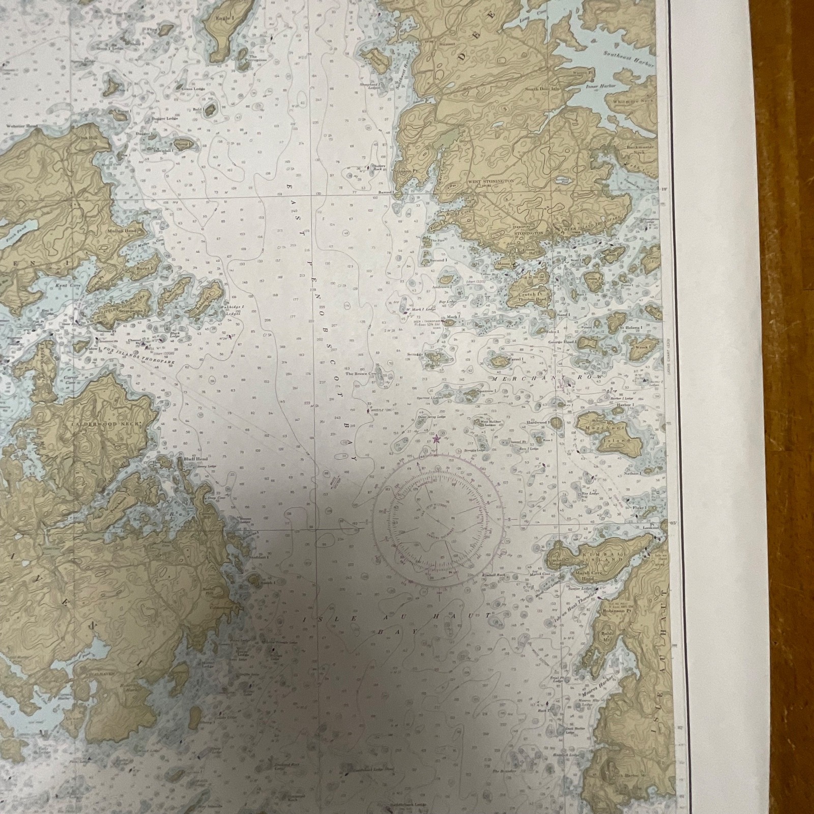
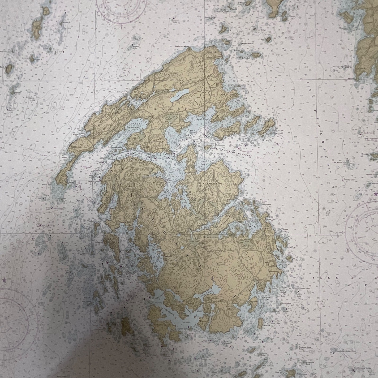
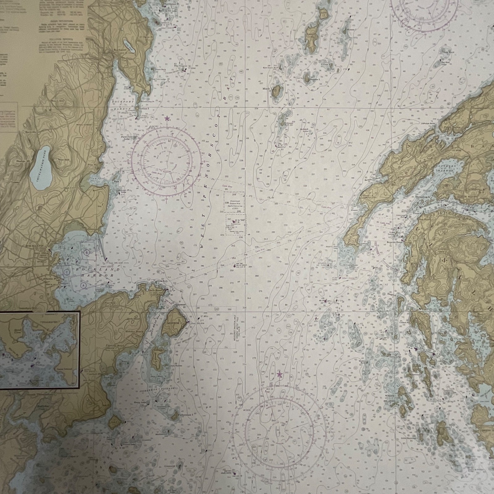
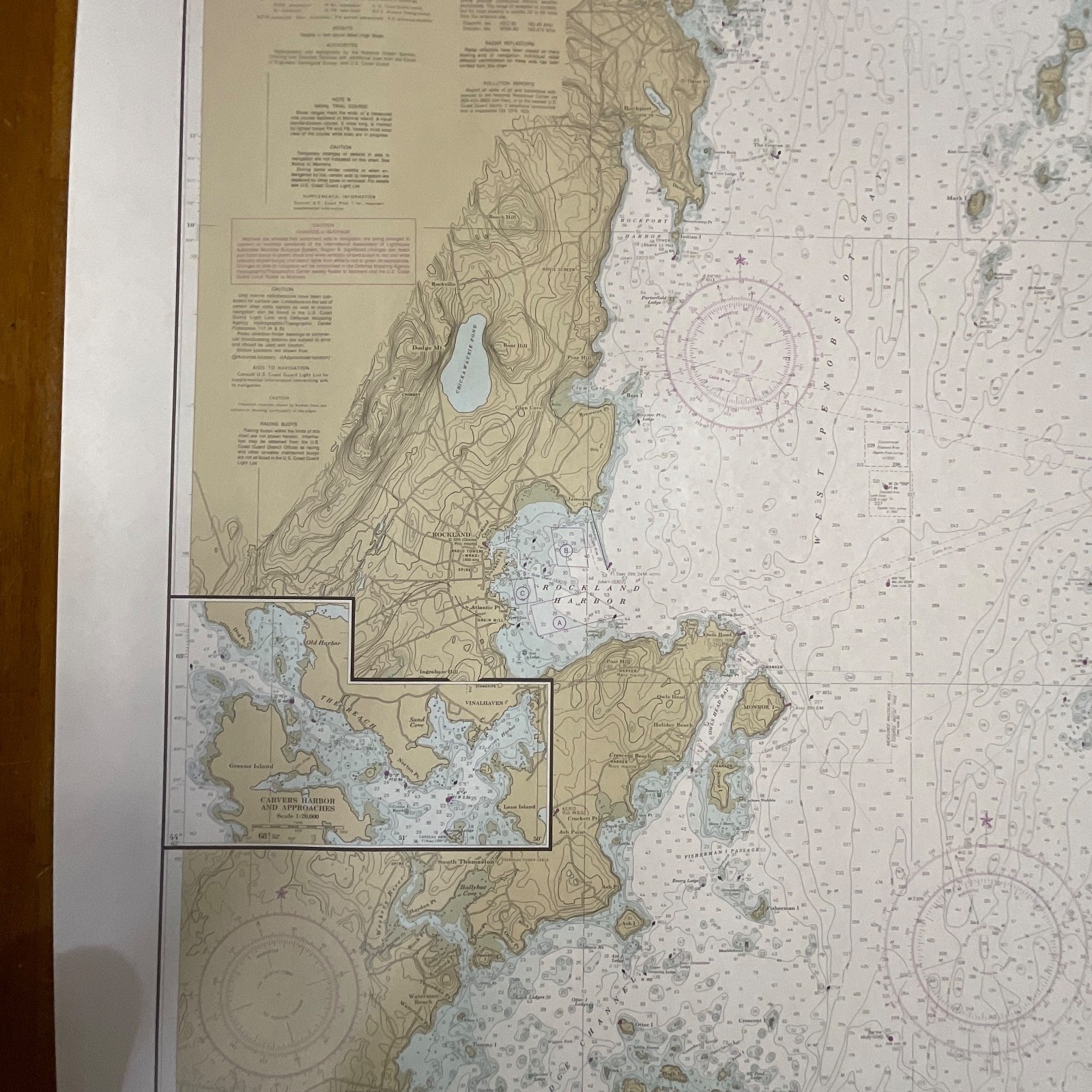
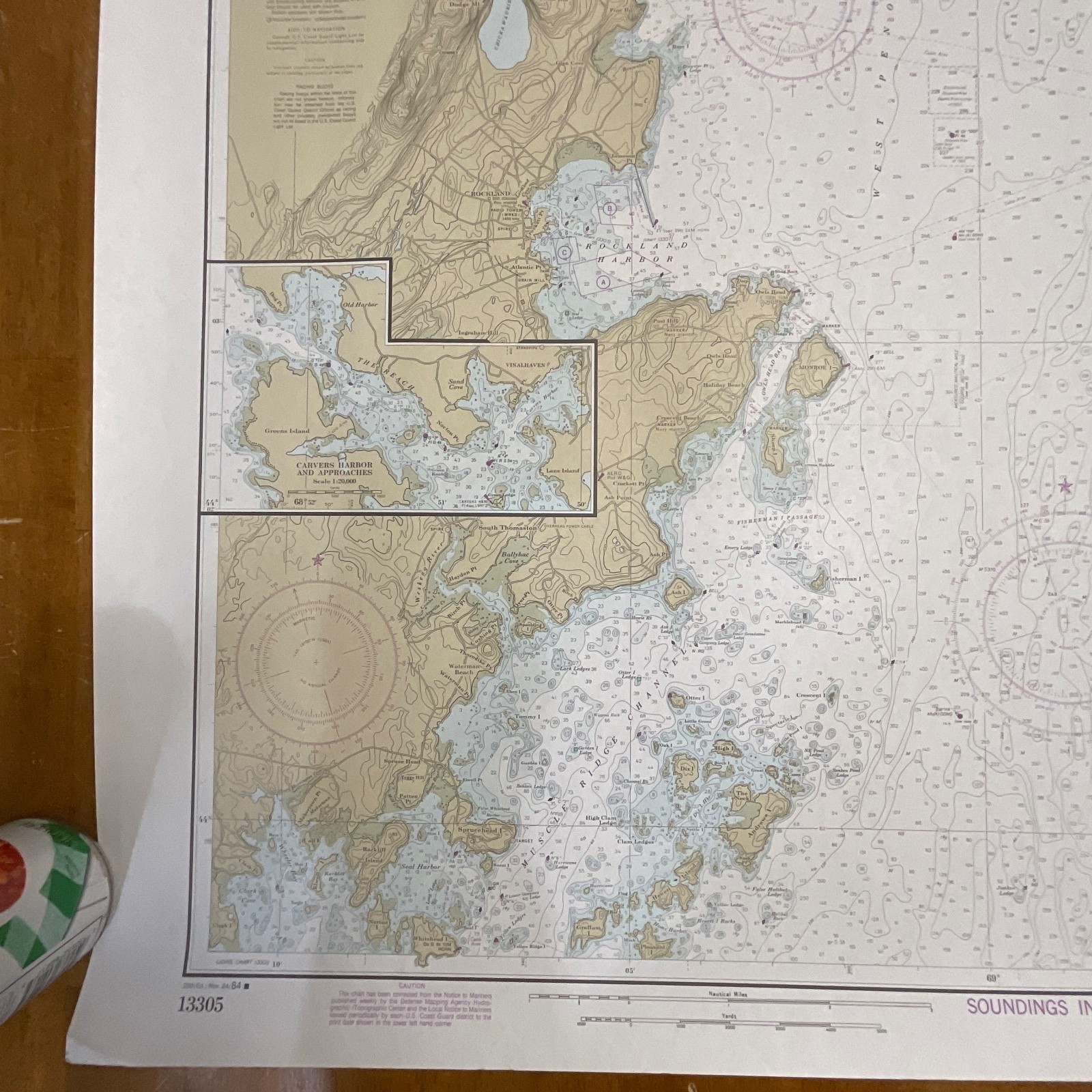
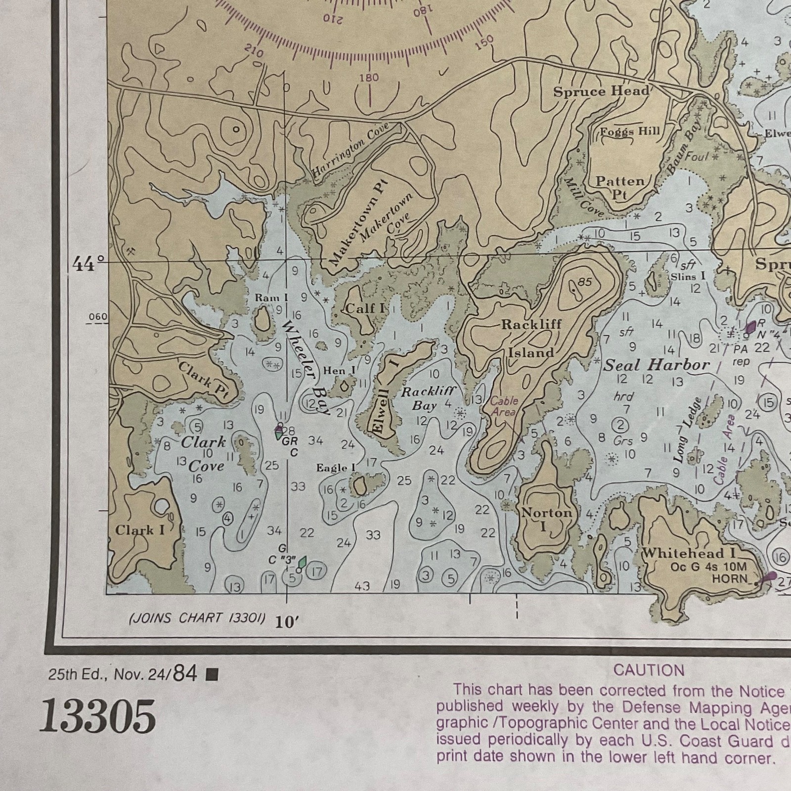
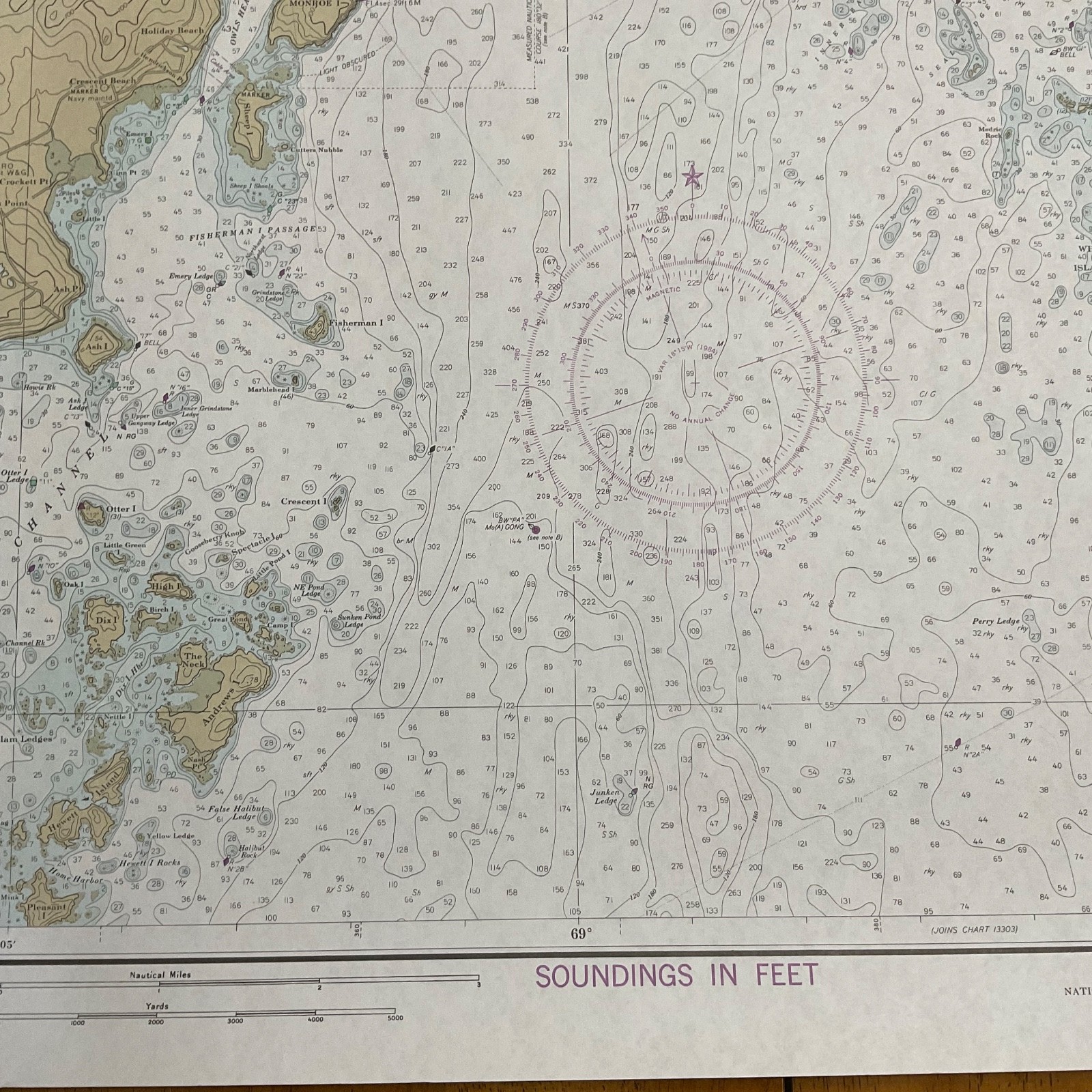
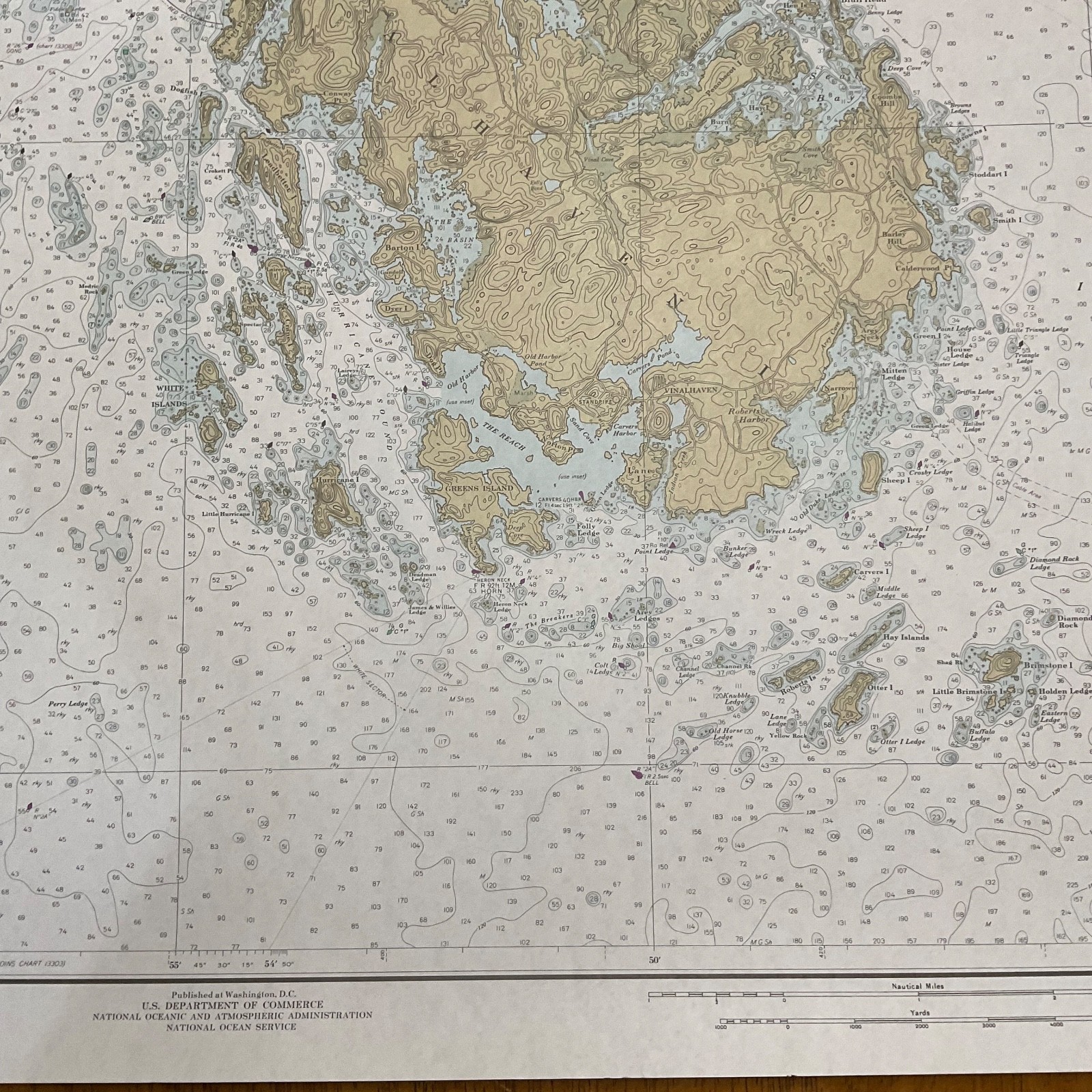
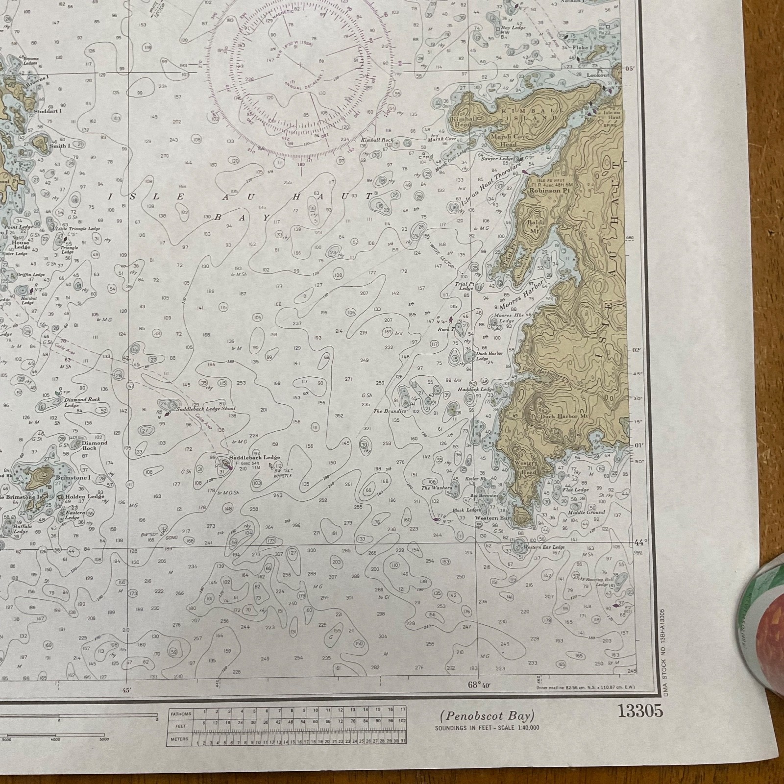
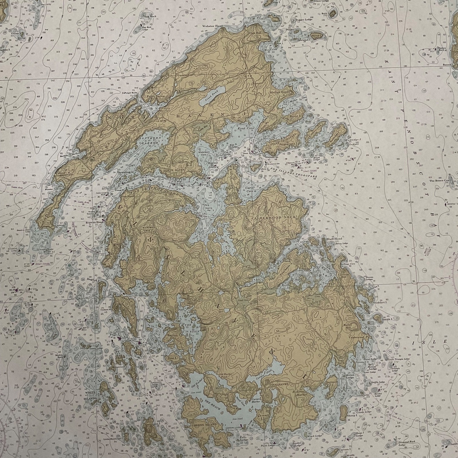
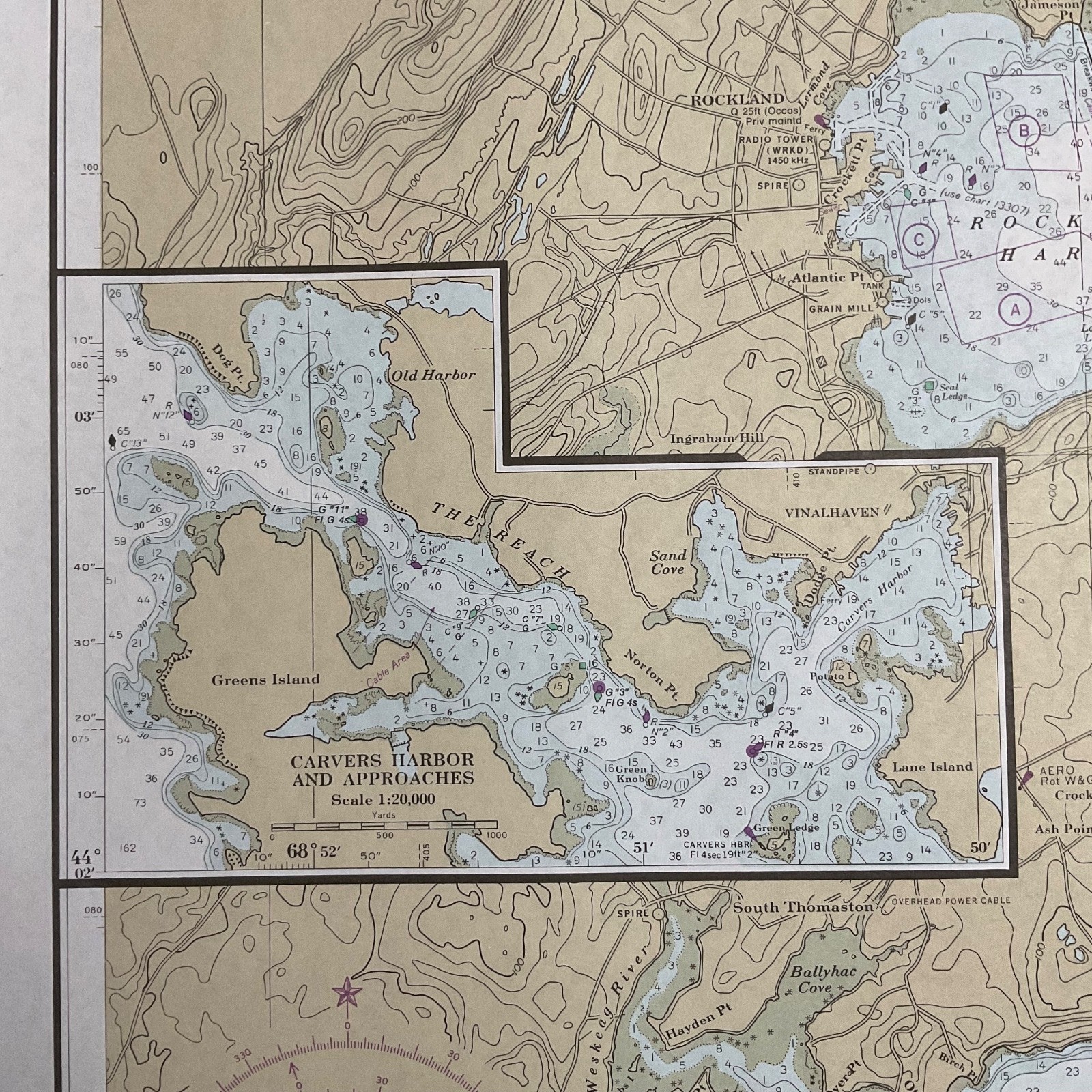
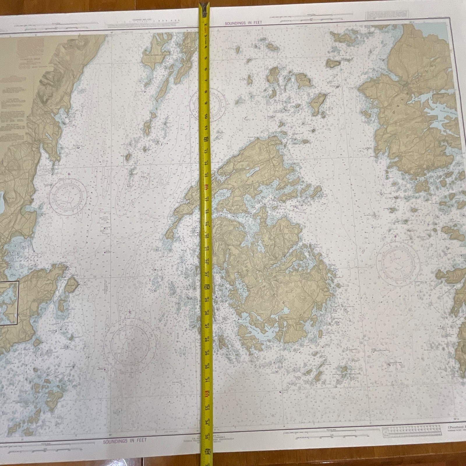
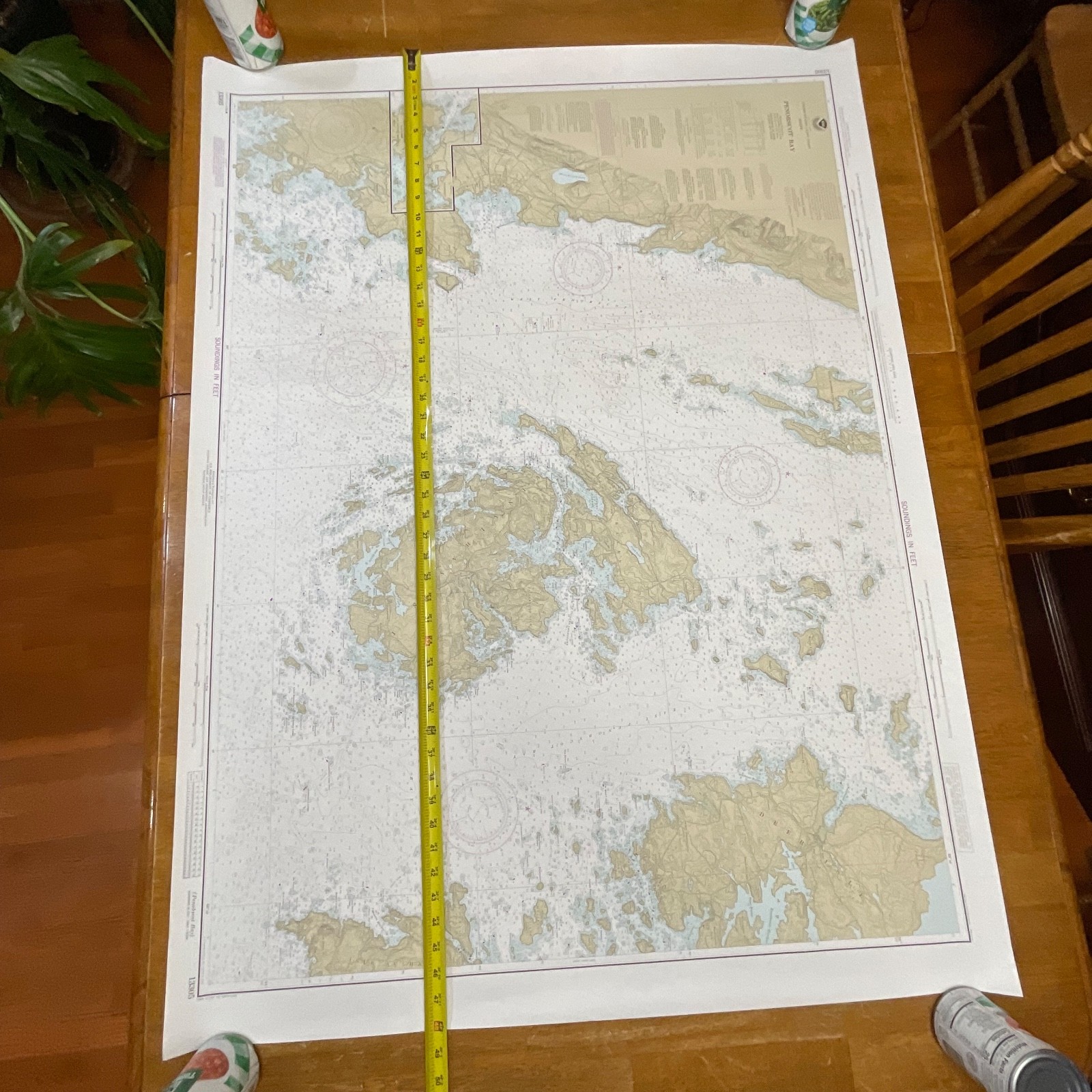
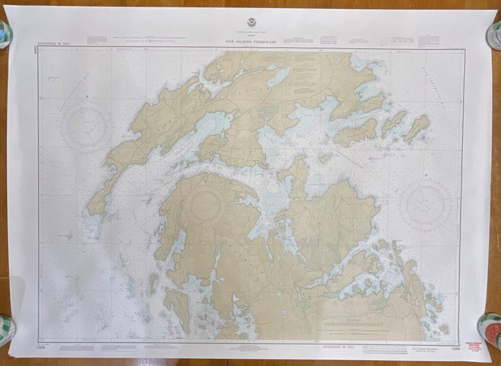
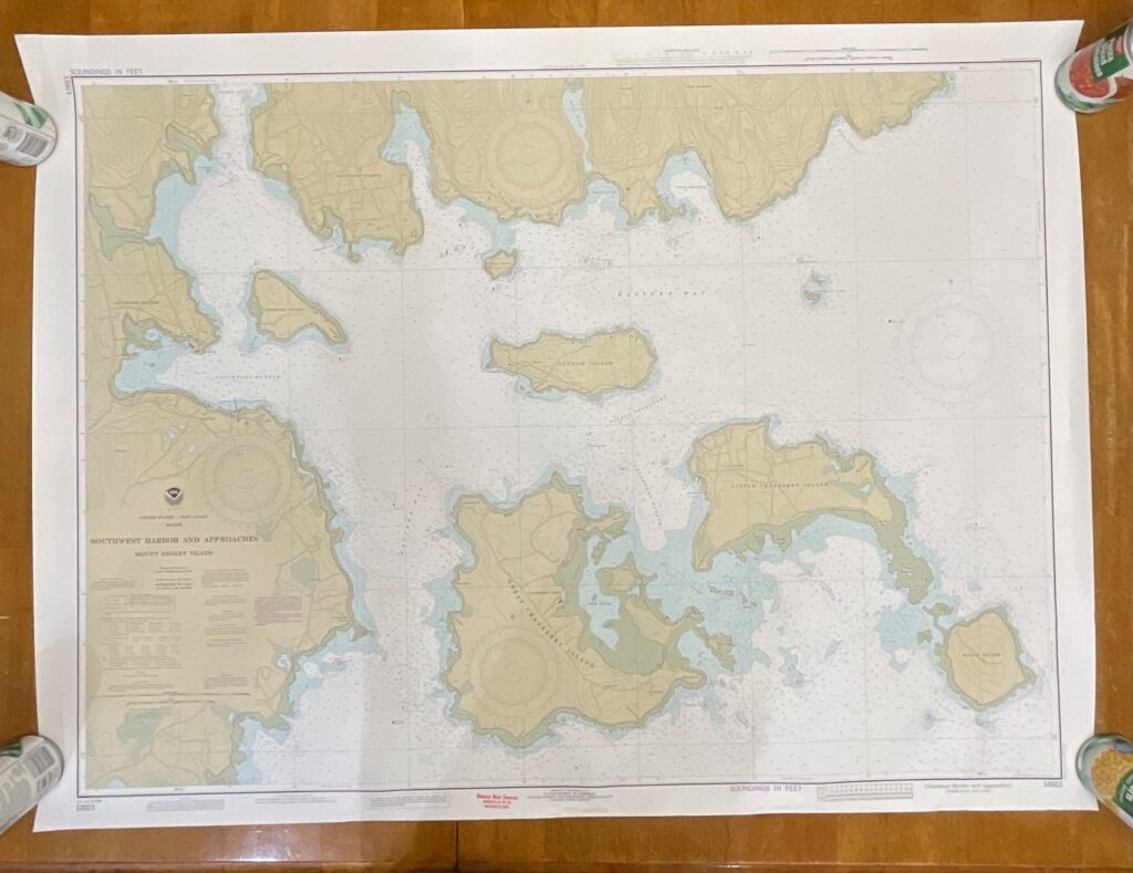
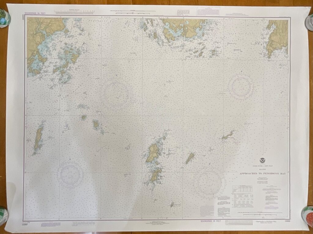
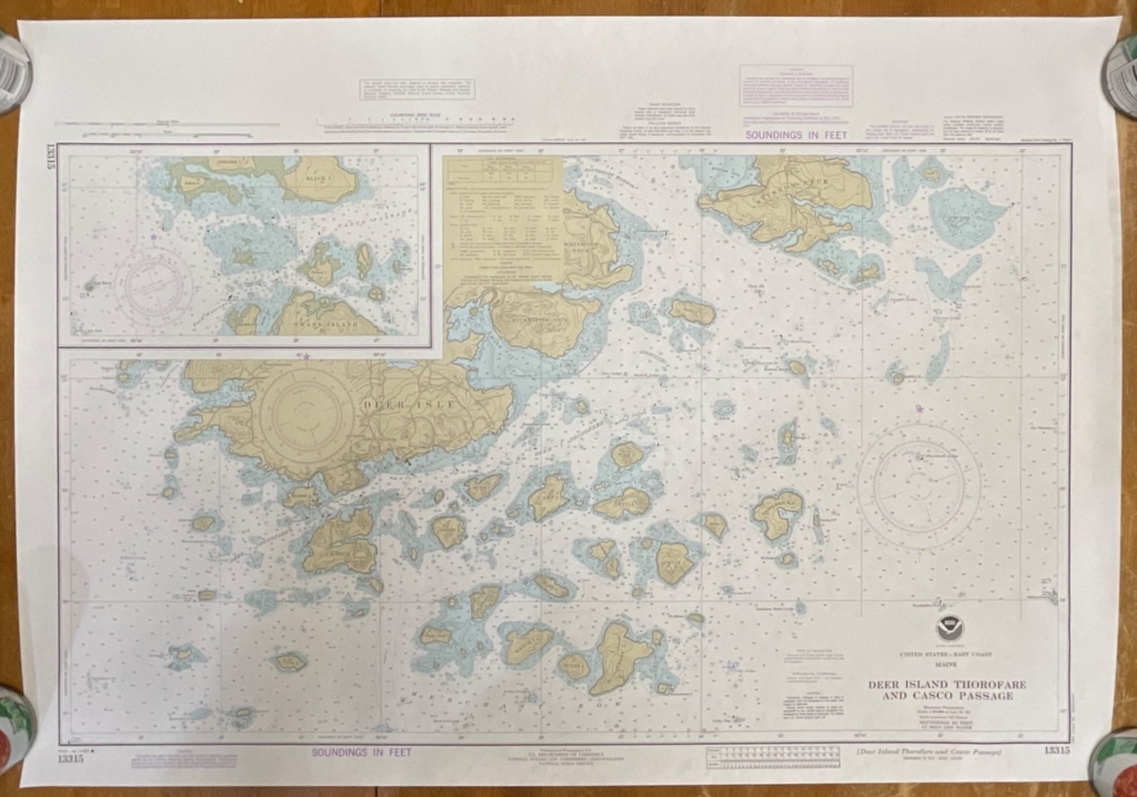
This is an original 1984 NOAA nautical chart of Penobscot Bay, Maine, featuring detailed coastal topography, soundings, and navigational markings from the period. It makes an excellent display piece for collectors, sailors, or anyone drawn to Maine’s coastal geography.
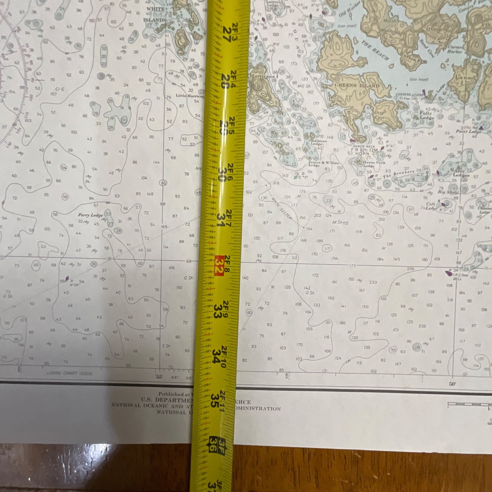
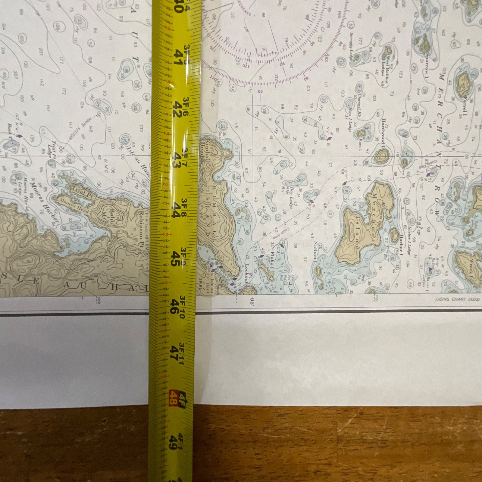
The chart includes NOAA’s standard cartographic features: depth soundings in feet, contour lines, anchorage areas, hazard markings, and land elevations. The edition marking shows 25th Edition, Nov. 24, 1984, with chart number 13305 clearly printed. Paper stock is NOAA’s traditional heavy chart paper with crisp printing. A small tear is present on the top right edge (approximately 2in), shown in the photos, but the map remains fully intact and displays well.
Measurements:
• Approximately 36in tall x 48in wide
Ships securely with protective packaging; prompt shipping excluding Federal Holidays.
Condition Description
Vintage NOAA chart with typical handling wear. One small tear on the top right edge approximately 2in long. Please review all photos for exact condition before purchase.
Item Specifics
• Category: Maps & Atlases
• Type: Nautical Chart
• Style: Coastal Navigation Map
• Material: Paper
• Color: Multicolor (nautical chart tones)
• Size: 36in x 48in
• Era: 1980s
• Occasion: Maritime use / Collectible display
• Gender/Unisex: Unisex
• Brand/Signature: NOAA (National Oceanic and Atmospheric Administration)
• Country/Region of Manufacture: United States
• UPC: Not visible

Reviews
There are no reviews yet.