
Description
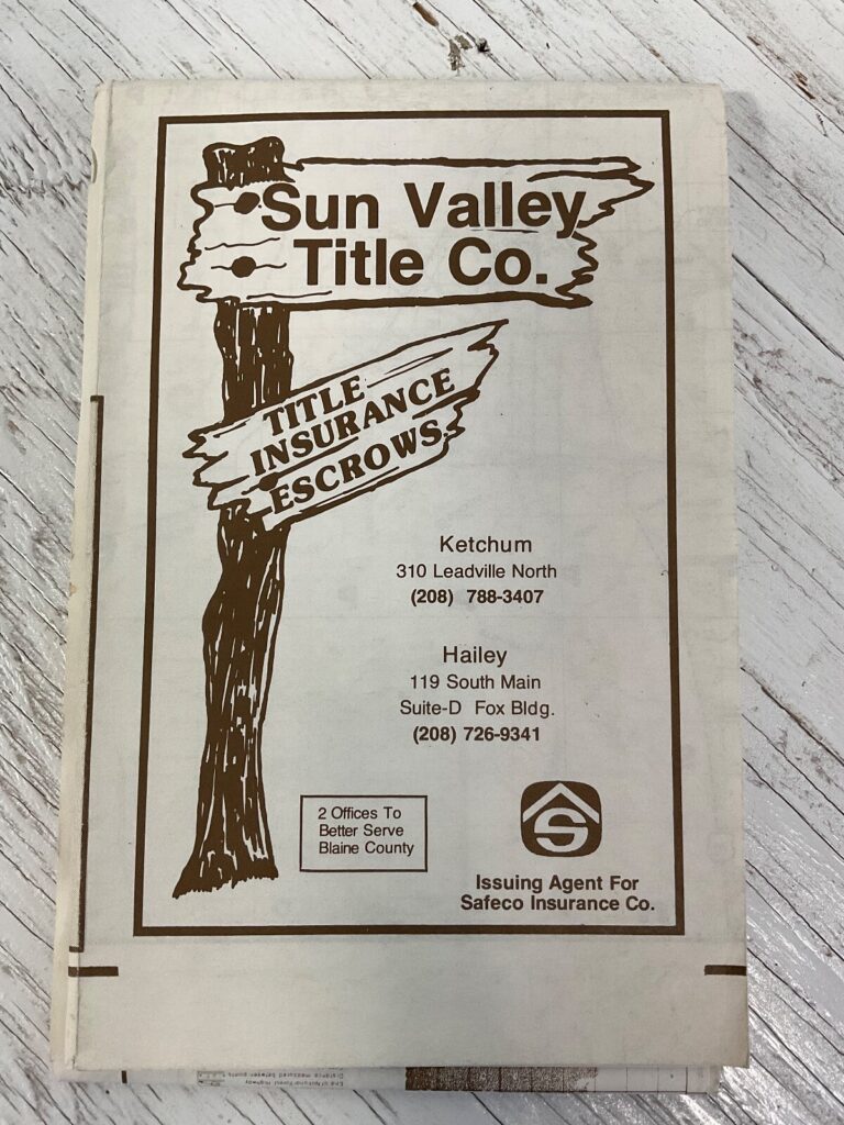
1963 US Department of the Interior Geological Survey topographic map of the Stanley, Idaho quadrangle.
Approx. 27 × 22 in. unfolded; shipped rolled.
Preowned with fold and edge wear; may show tape, tears, fraying, or writing.
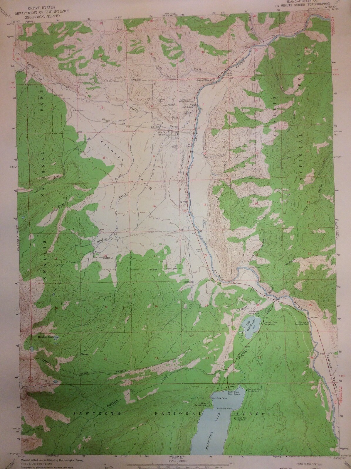
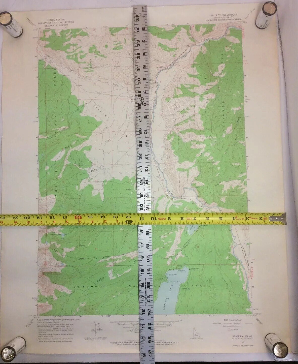
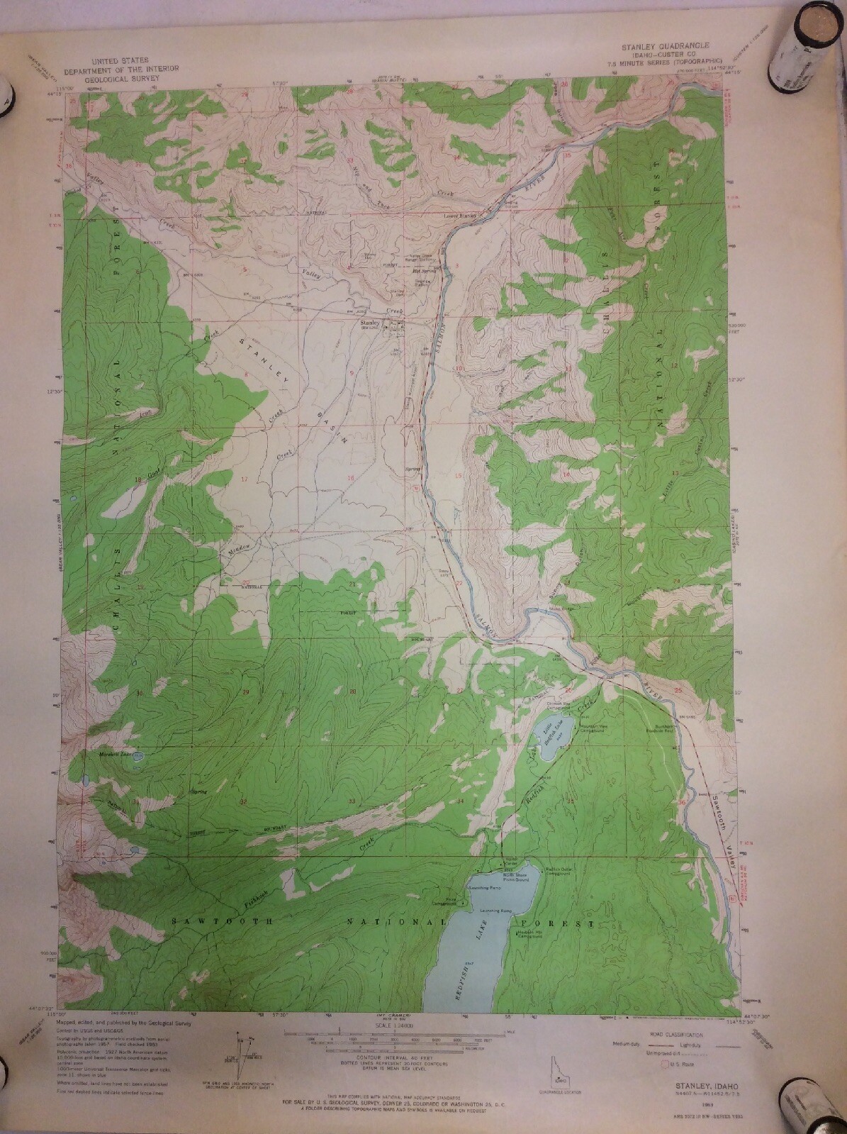
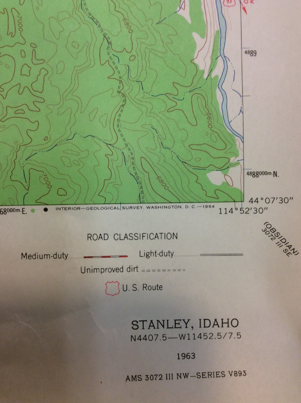
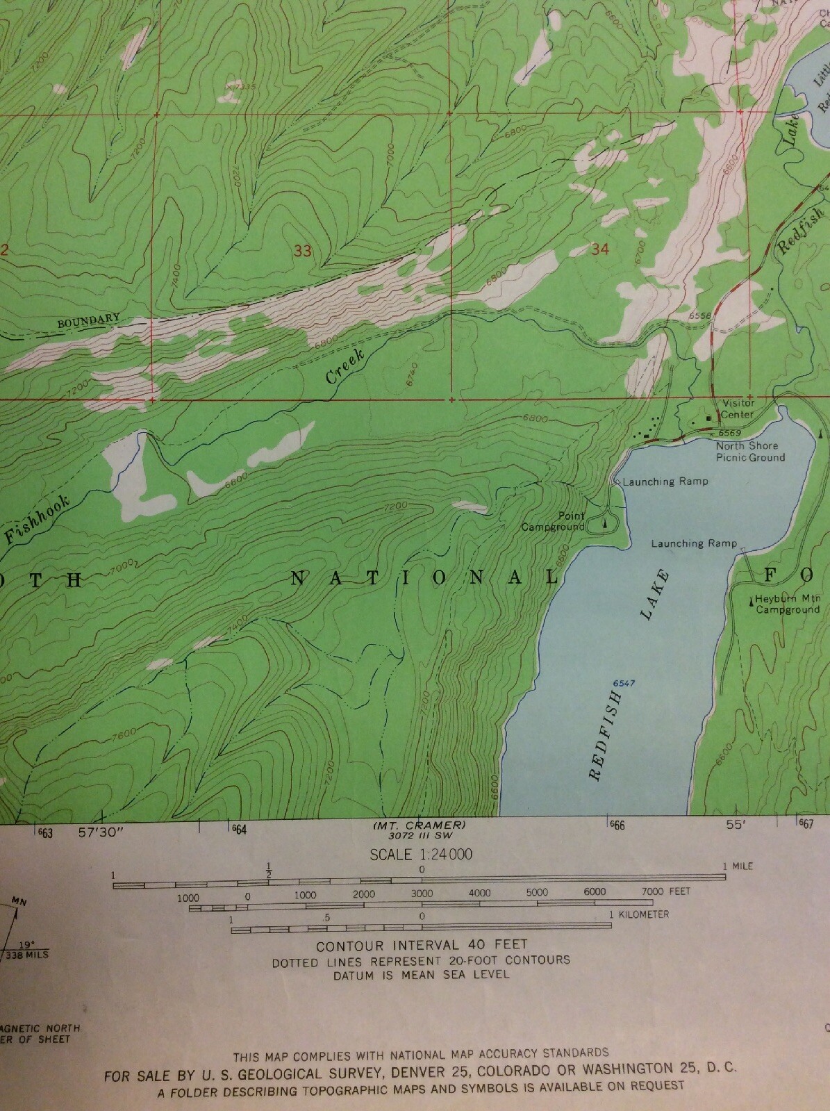
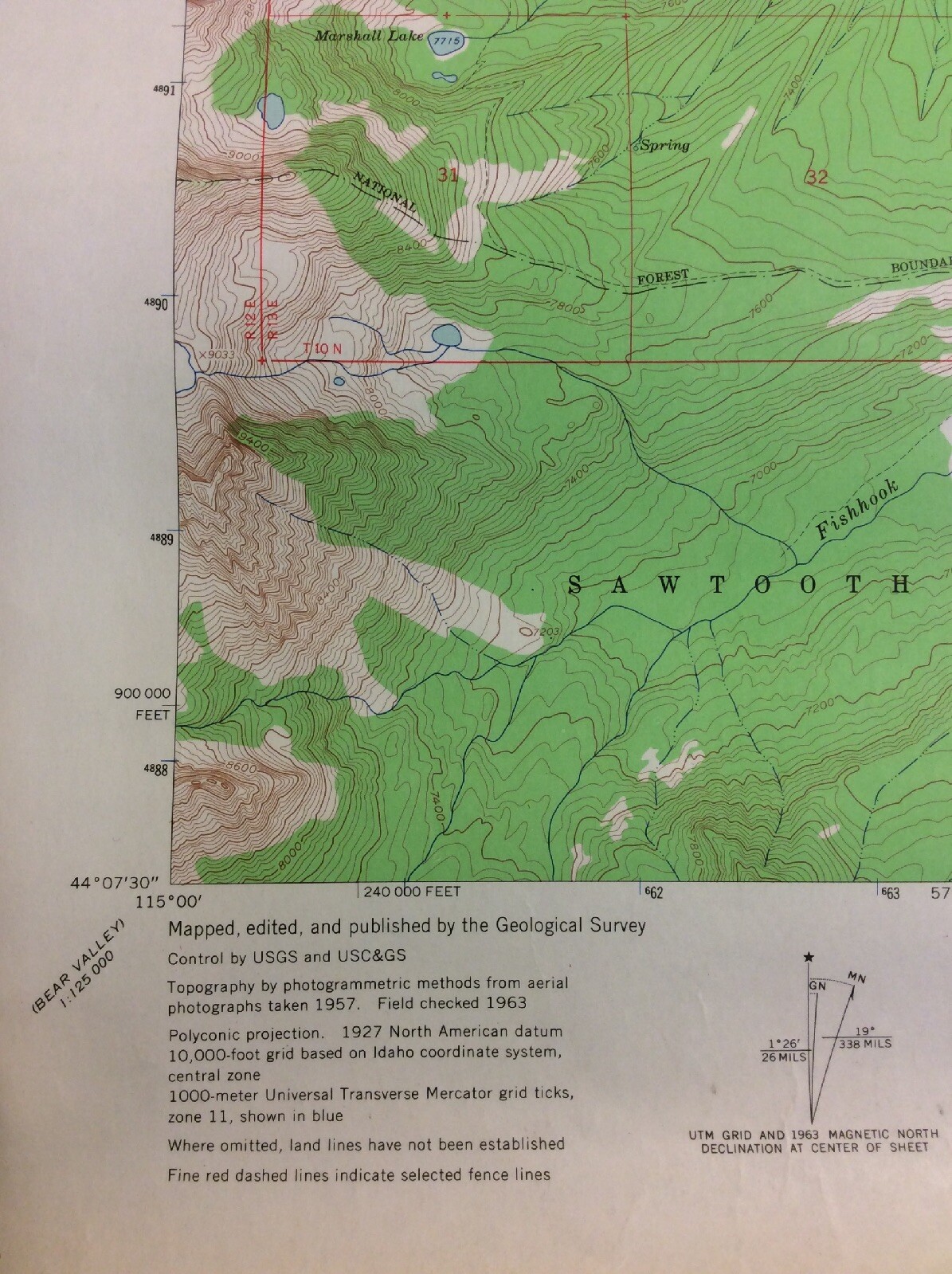
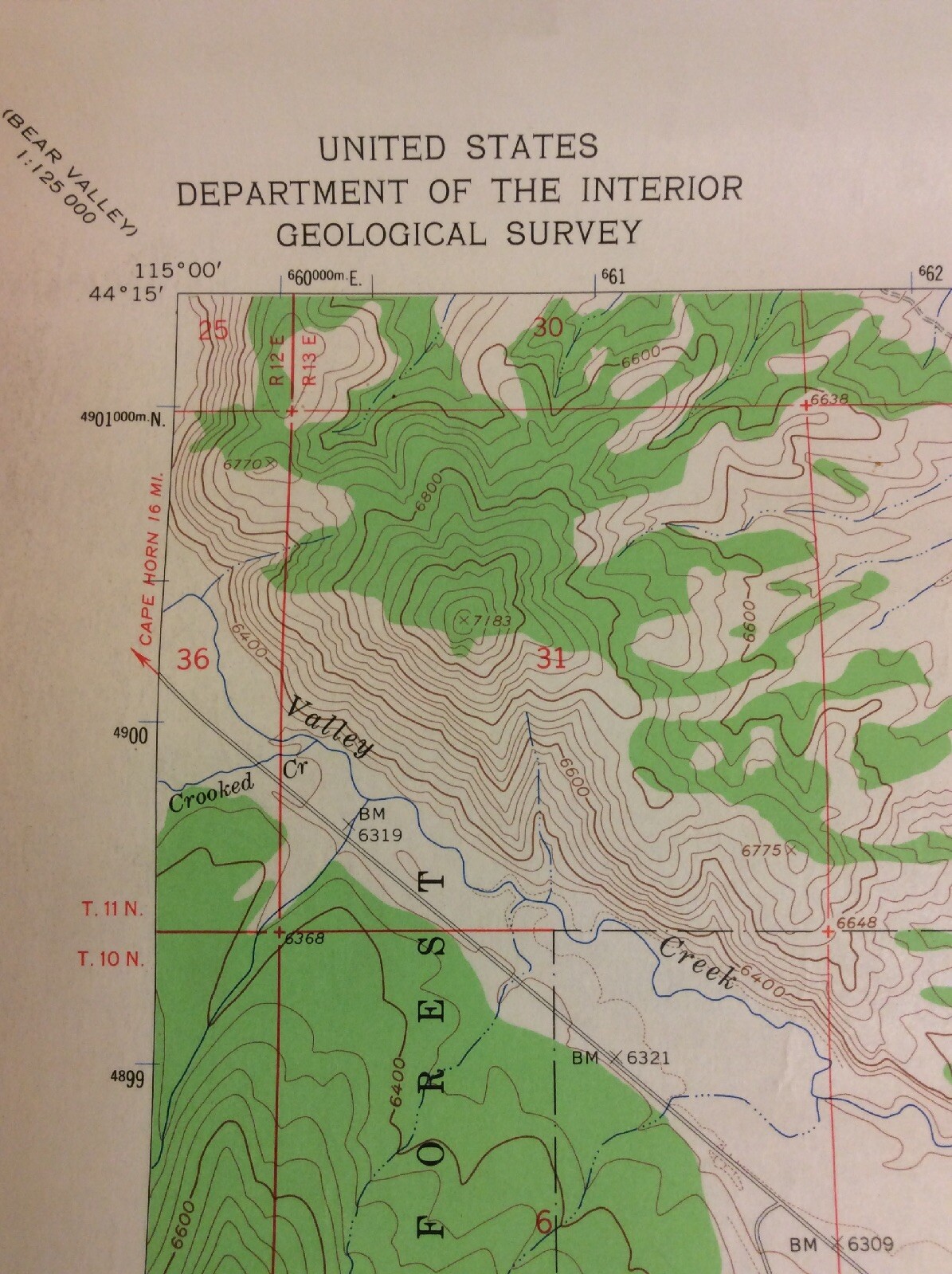
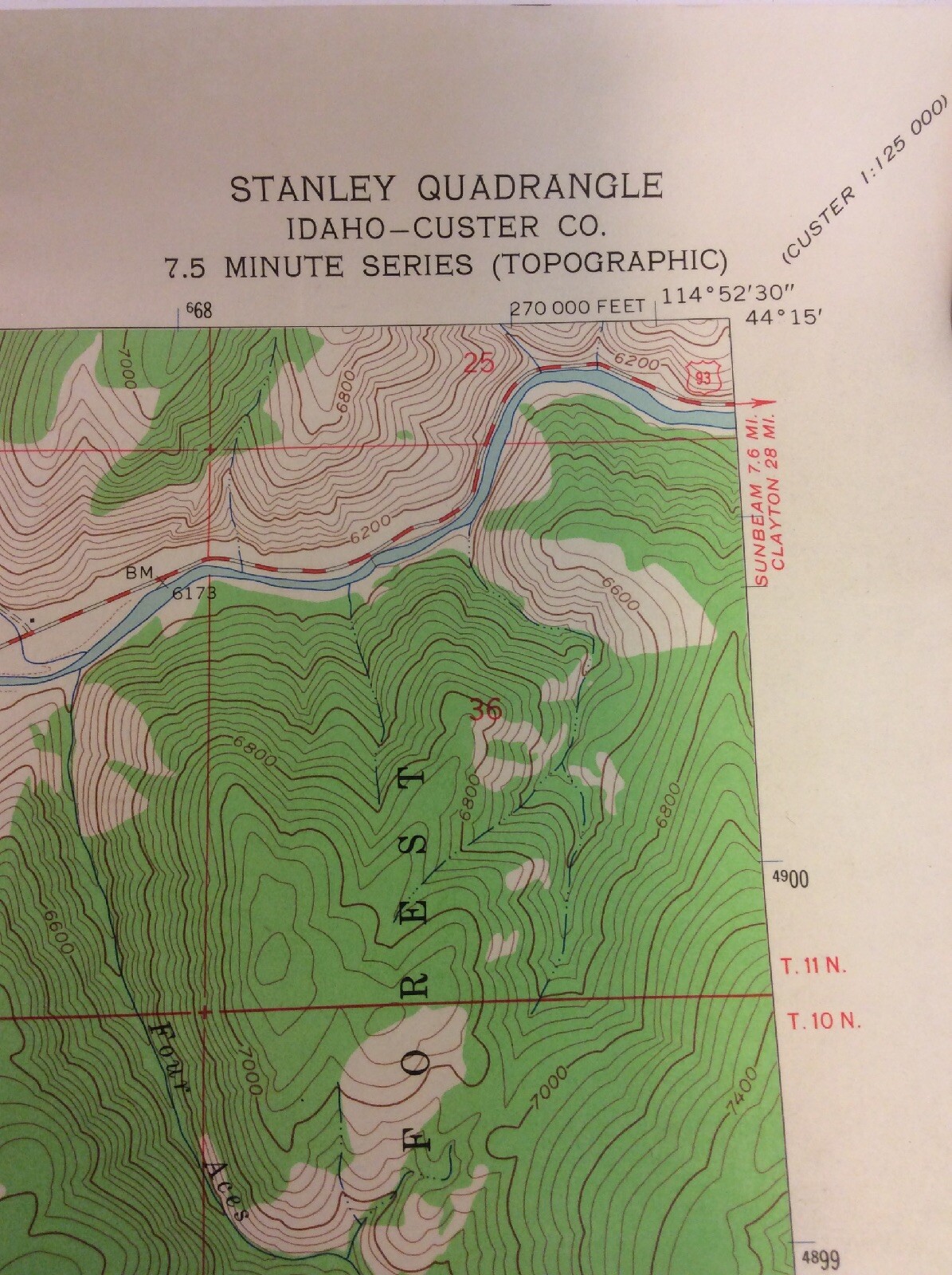
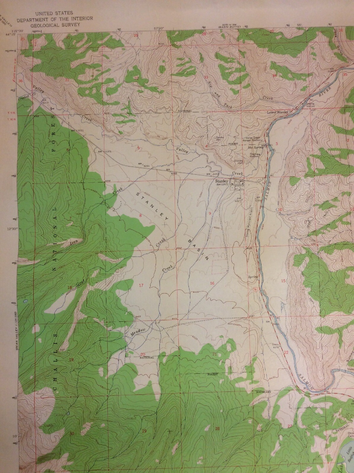
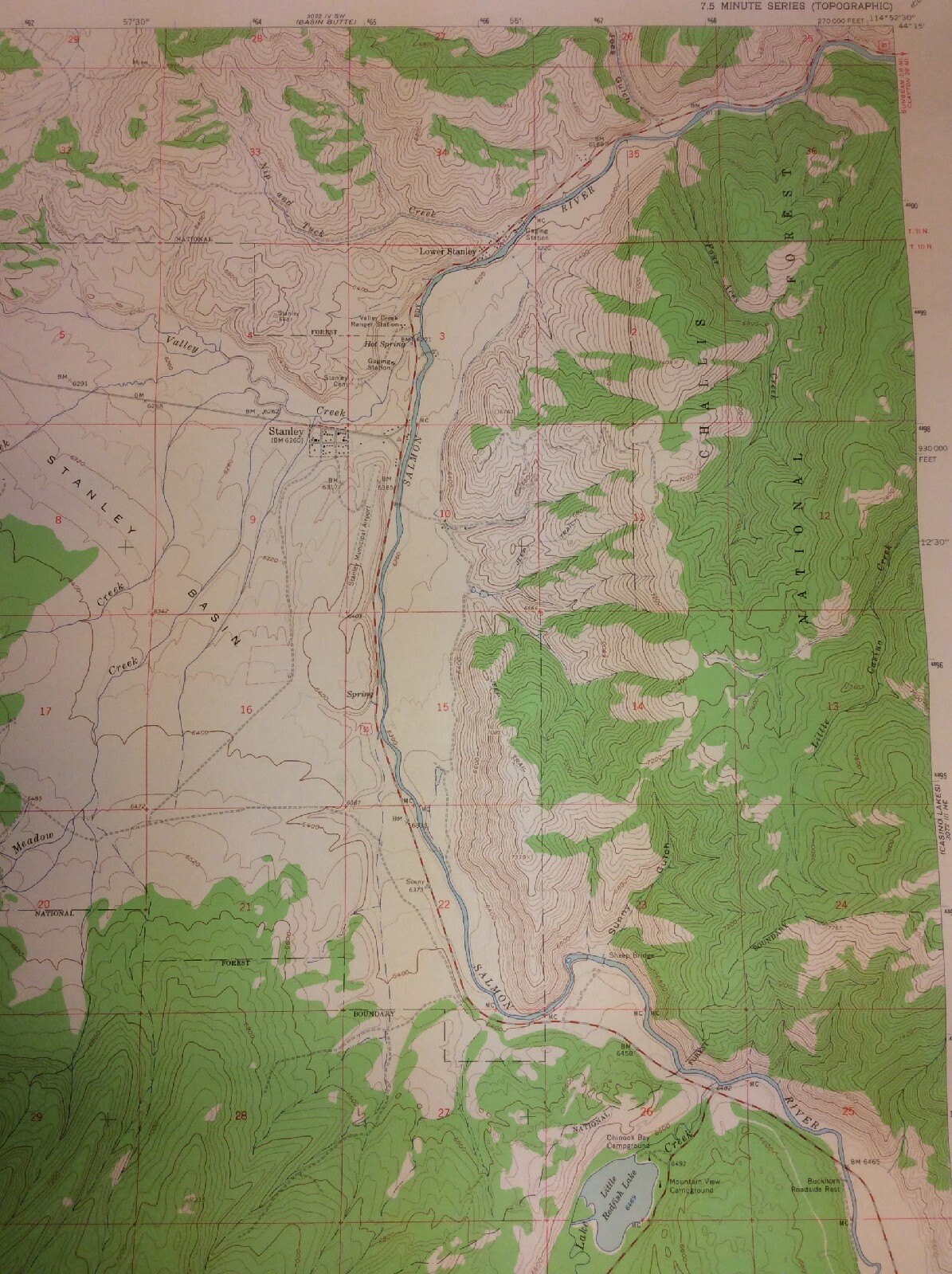
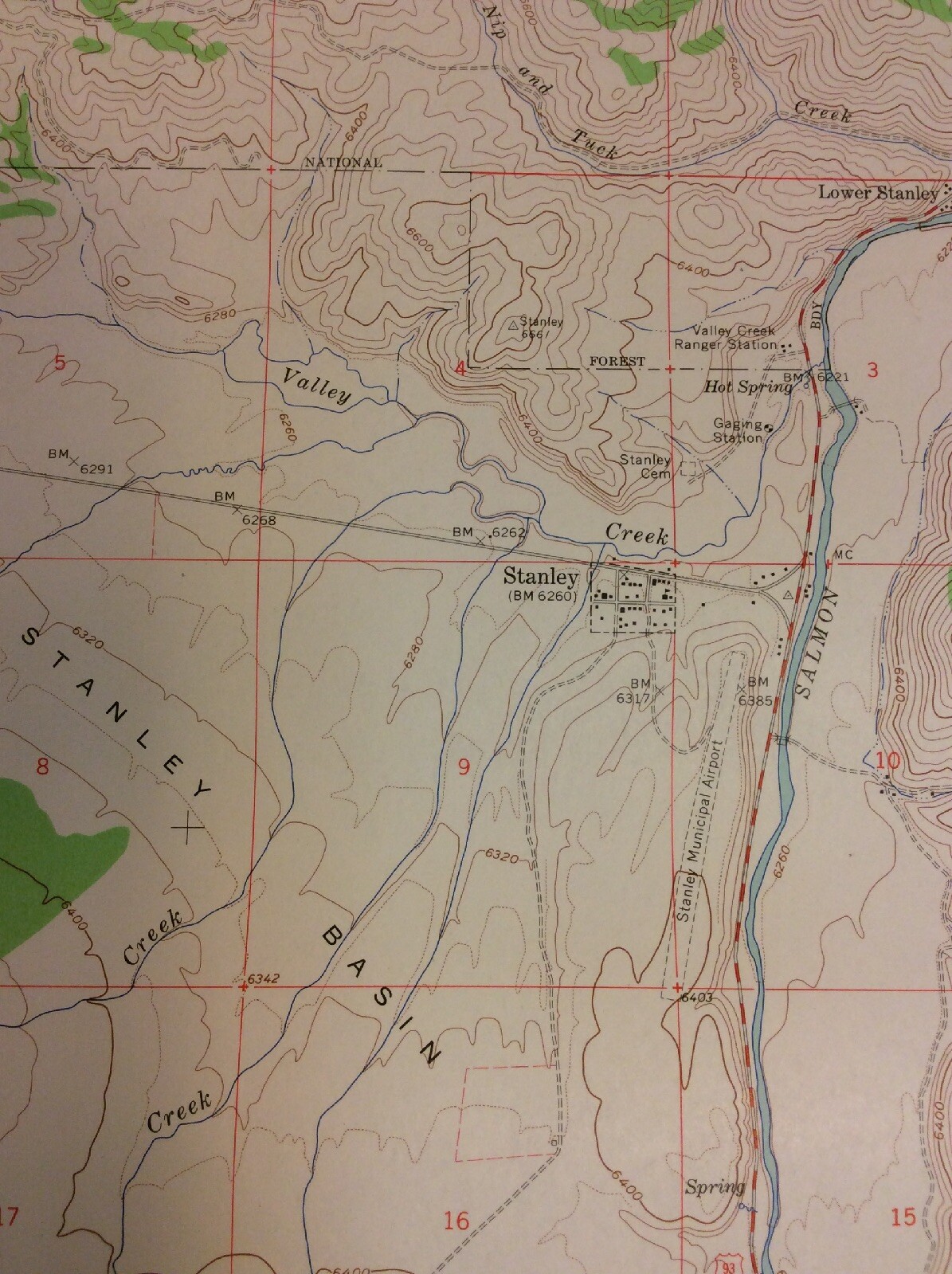
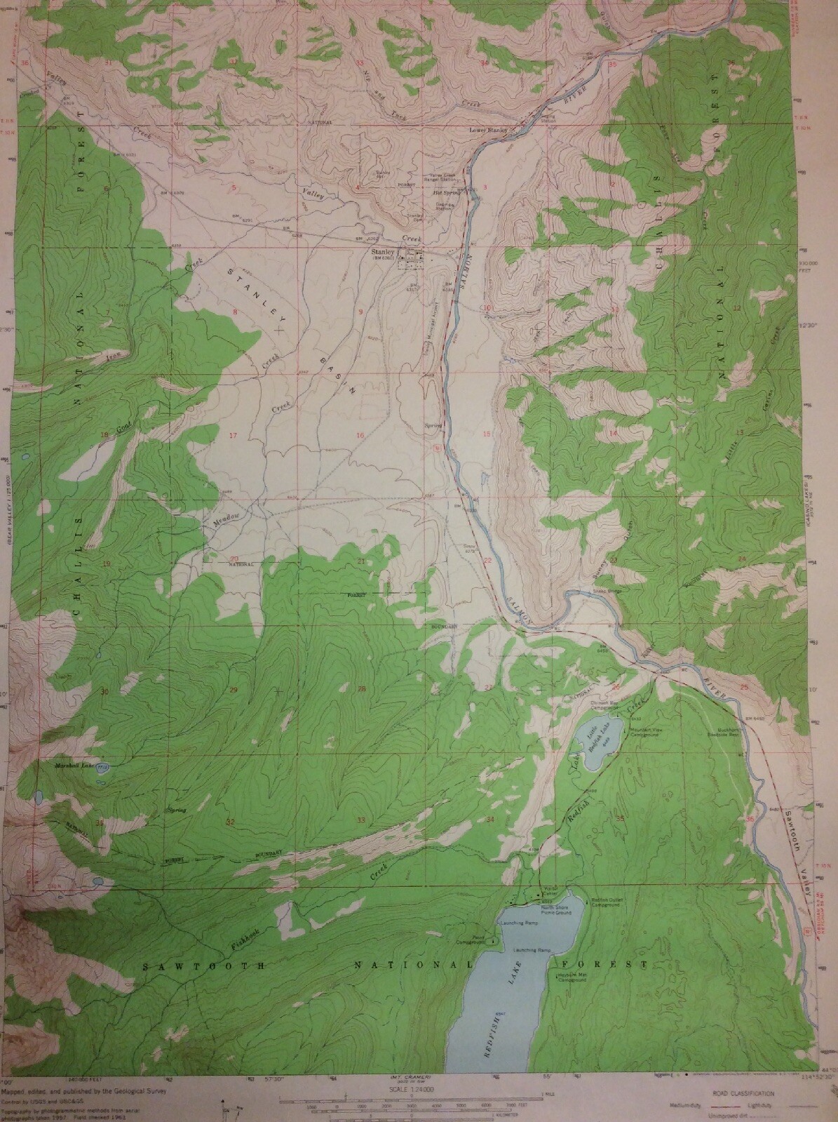
1963 US Department of the Interior Geological Survey topographic map of the Stanley, Idaho quadrangle. Approx. 27 × 22 in. unfolded; shipped rolled. Preowned with fold and edge wear; may show tape,
In stock
1963 US Department of the Interior Geological Survey topographic map of the Stanley, Idaho quadrangle.
Approx. 27 × 22 in. unfolded; shipped rolled.
Preowned with fold and edge wear; may show tape, tears, fraying, or writing.
| Weight | 2 lbs |
|---|---|
| Dimensions | 27 × 22 in |
| Condition | good |
SHOP THE GNUS












Reviews
There are no reviews yet.