
Description
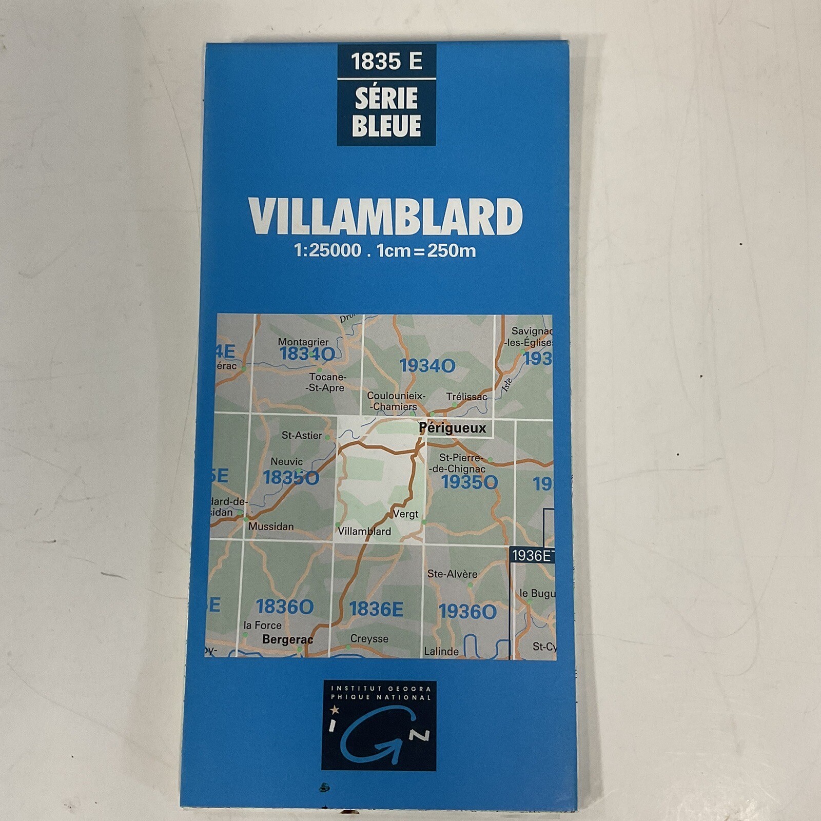
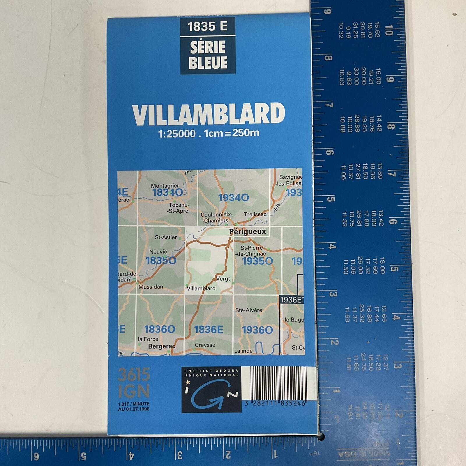
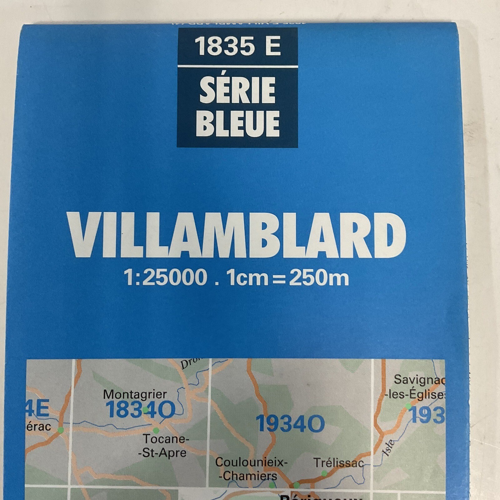
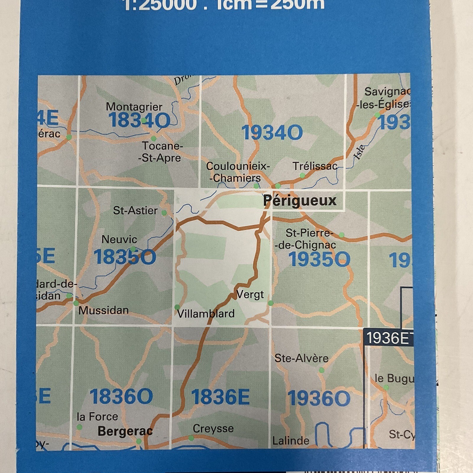
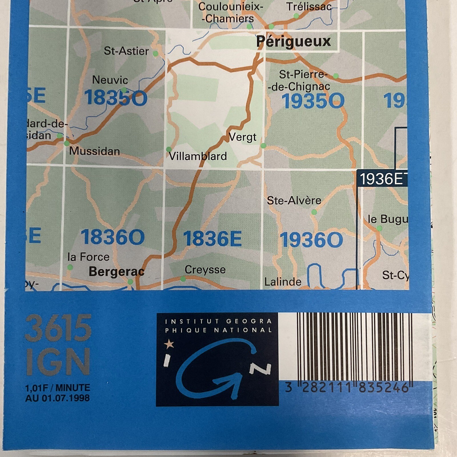
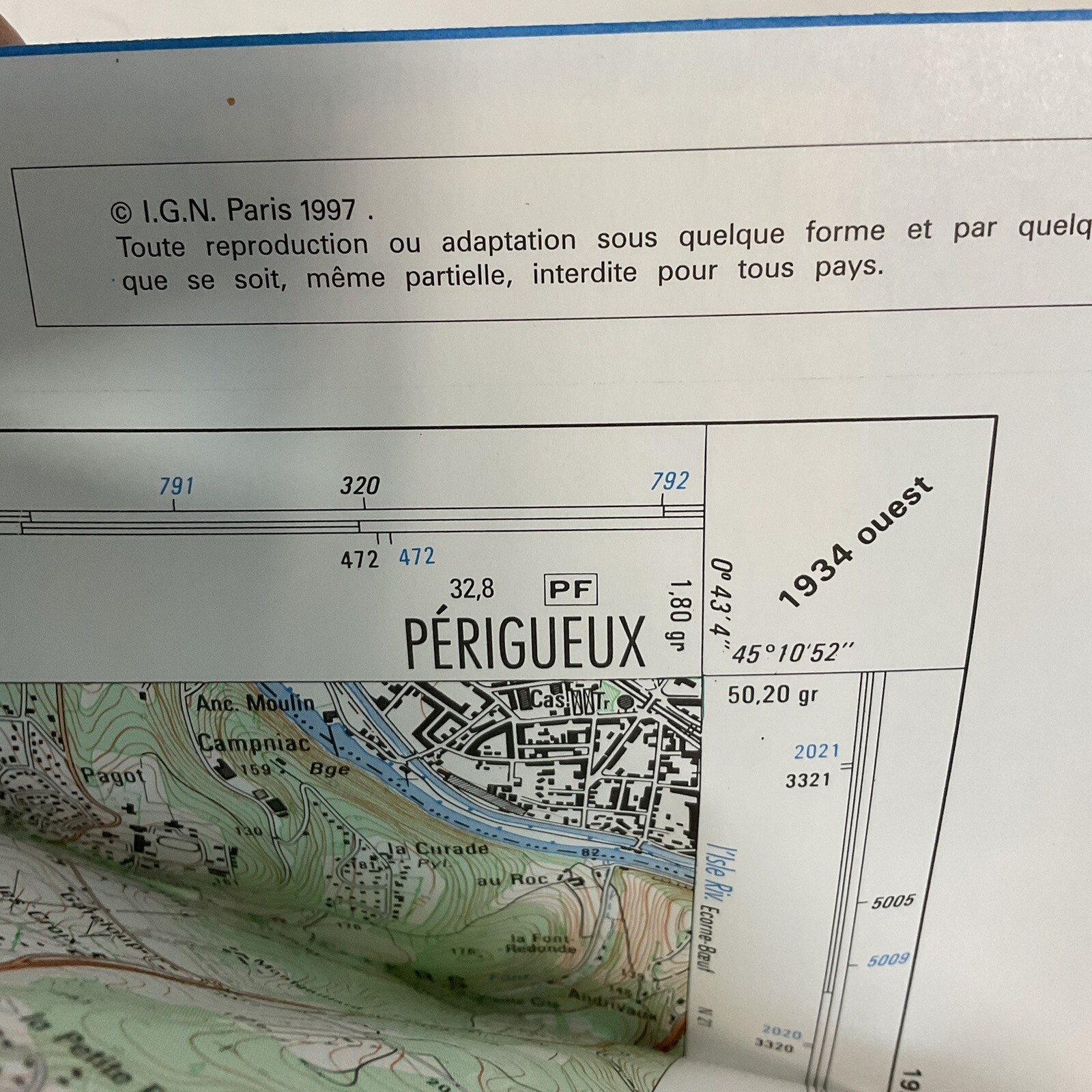
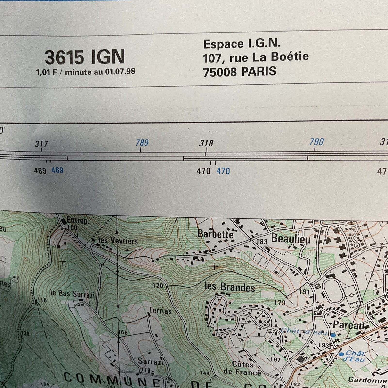
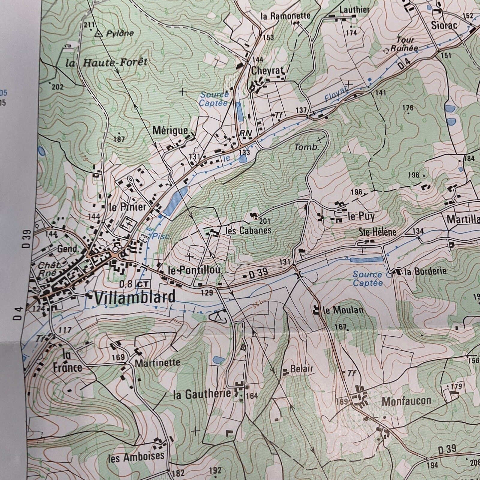
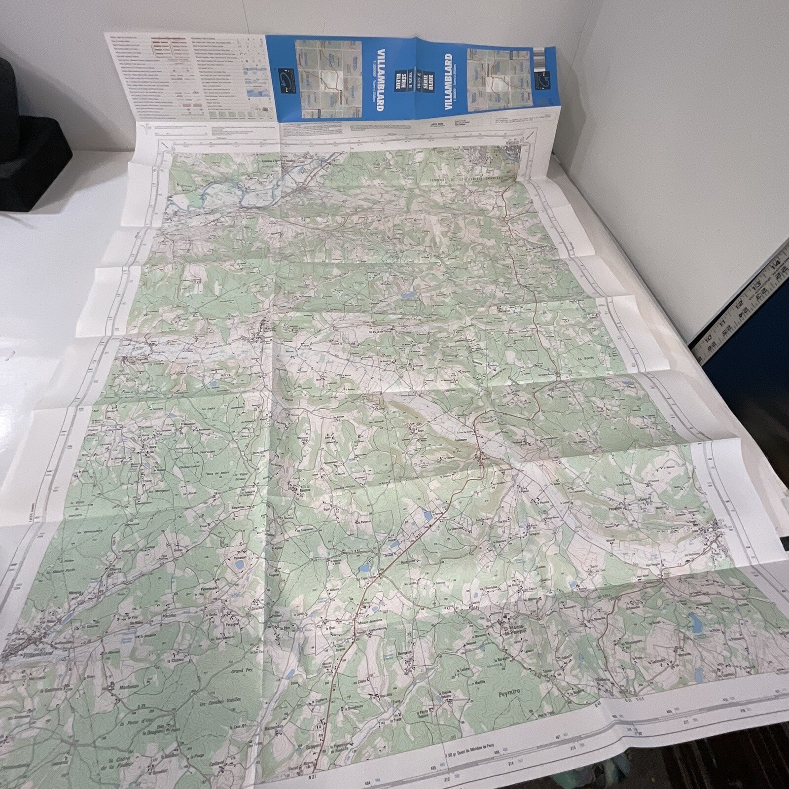
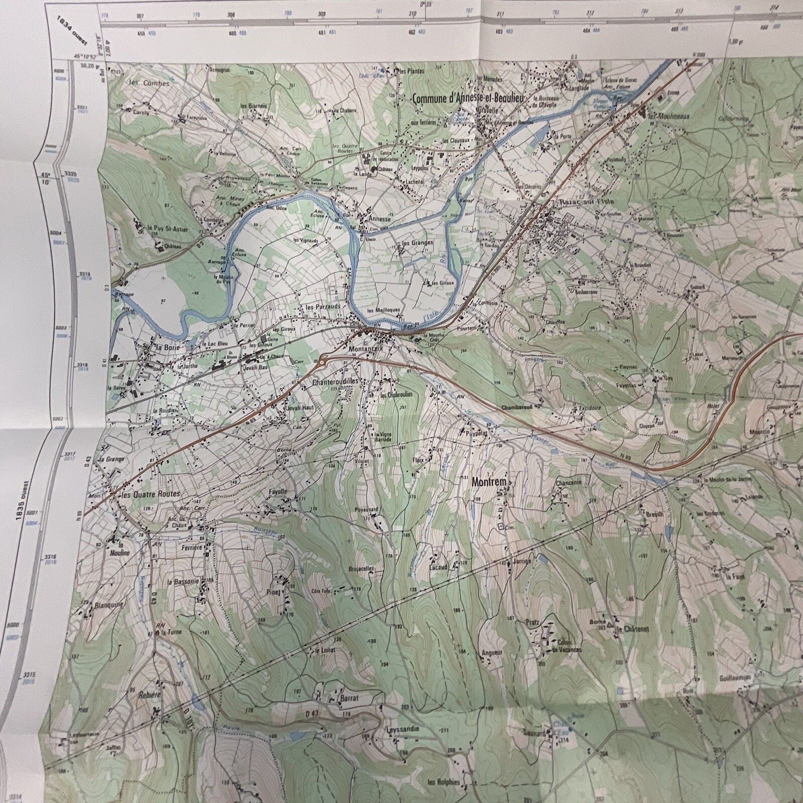
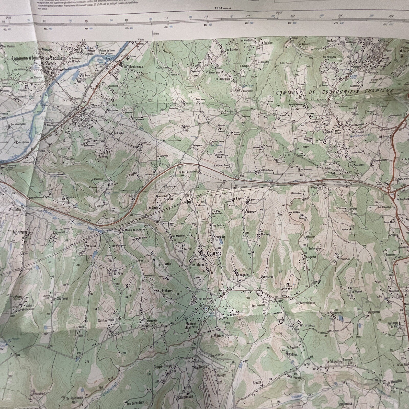
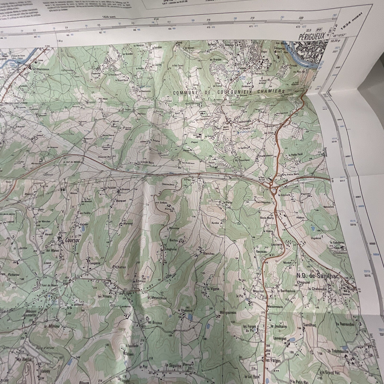
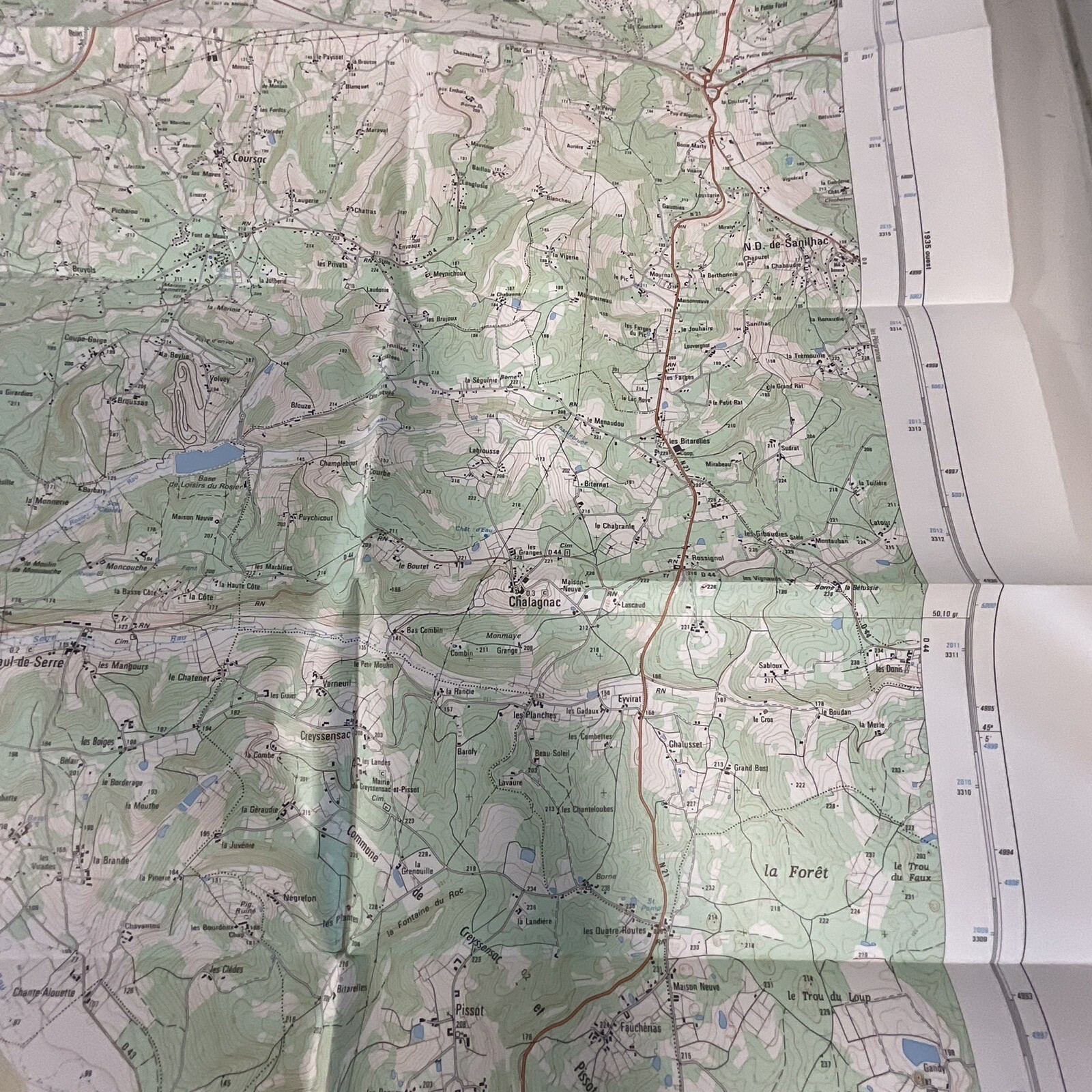
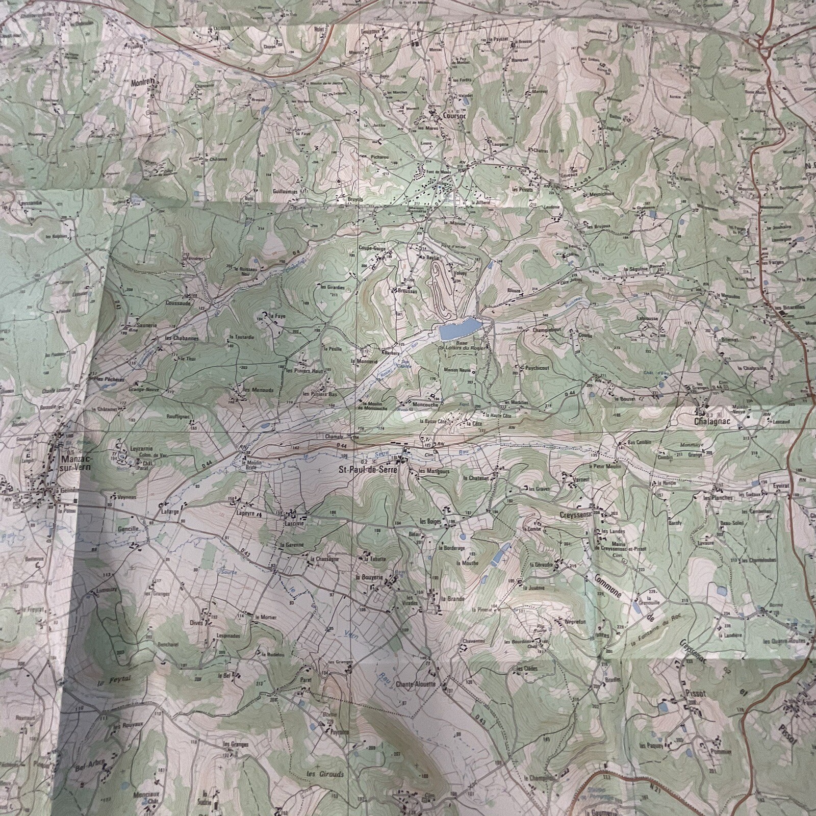
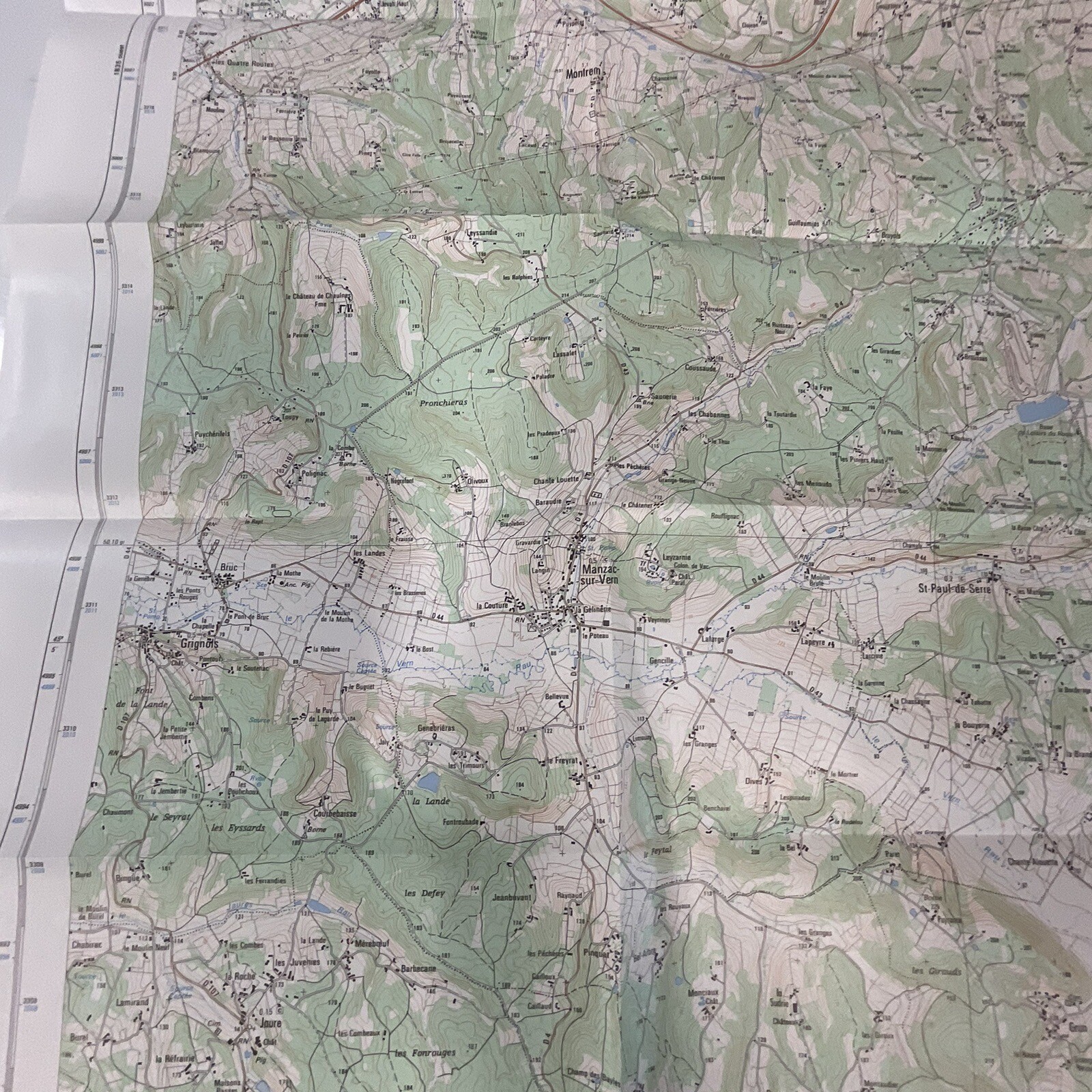
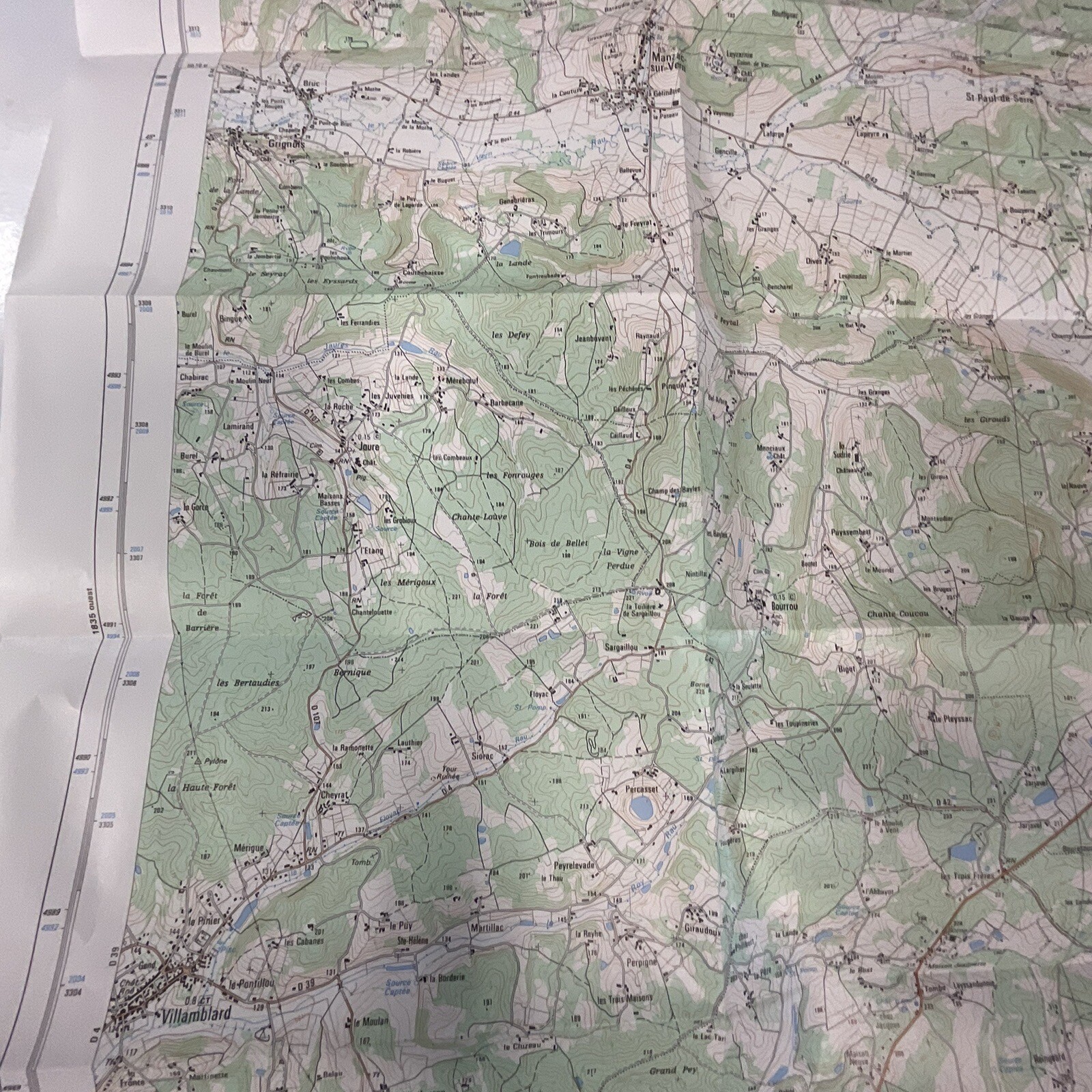
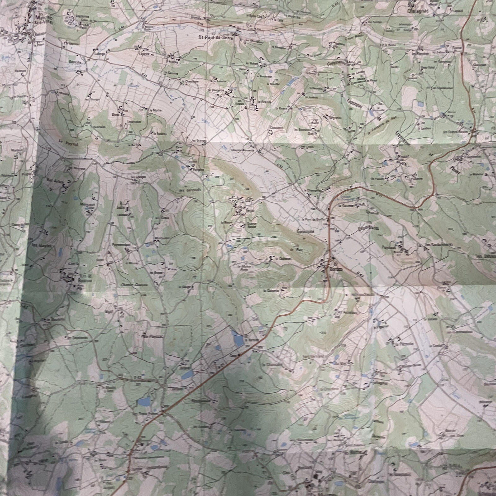
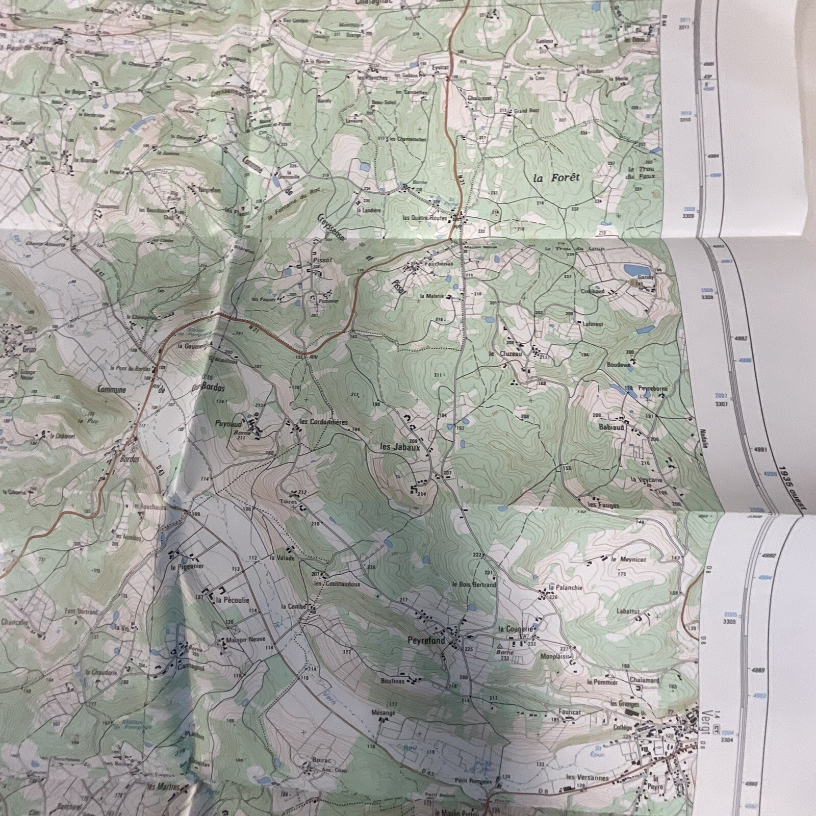
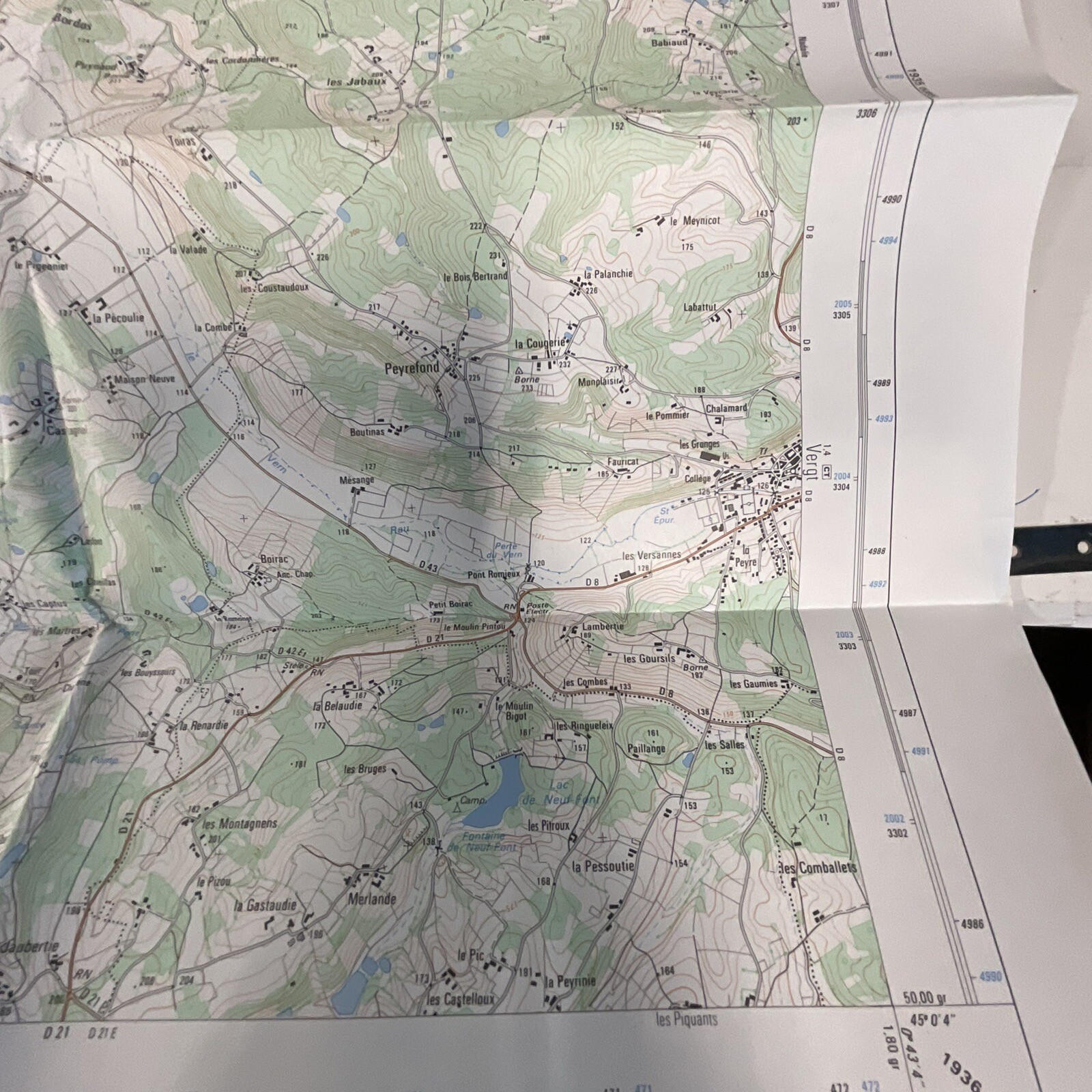
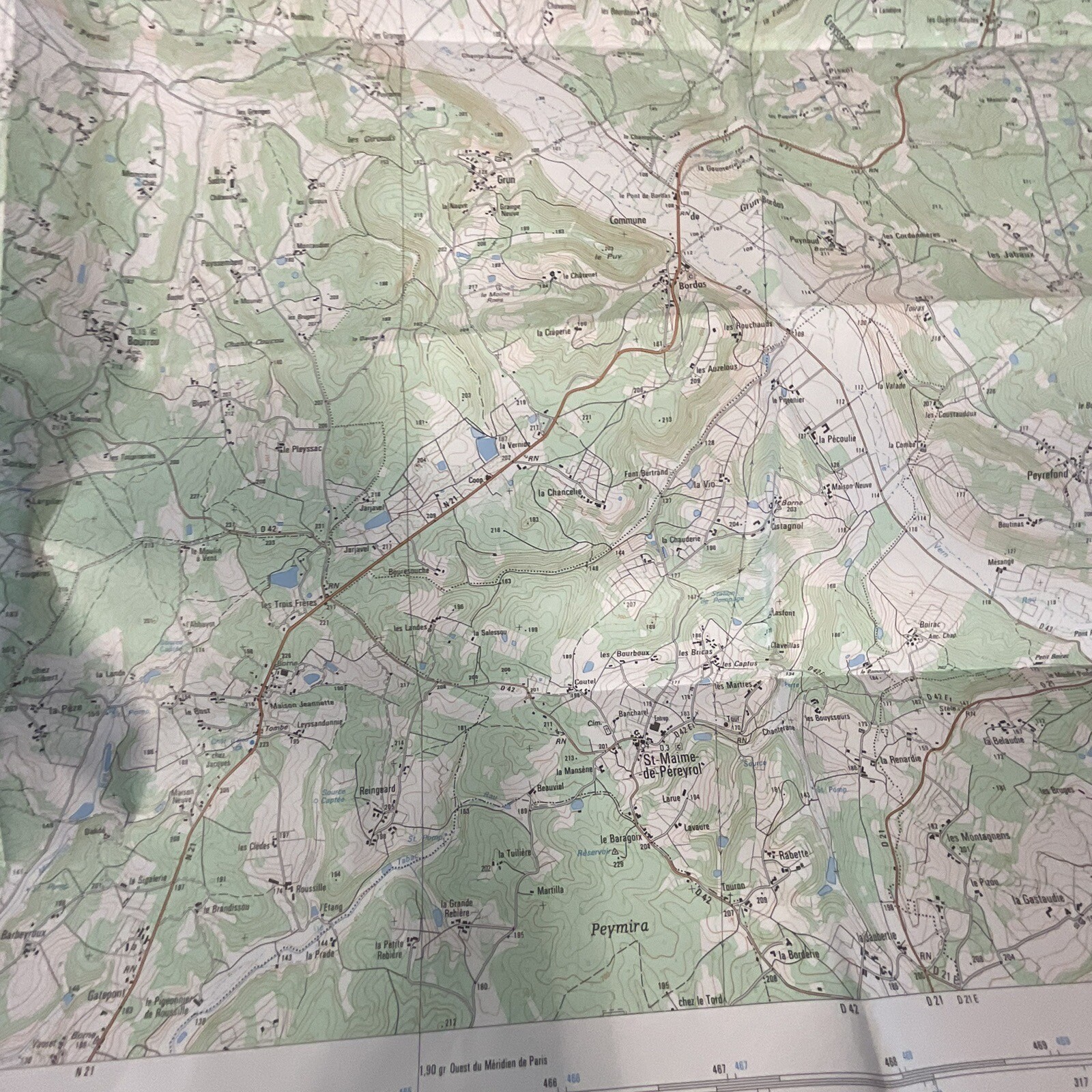
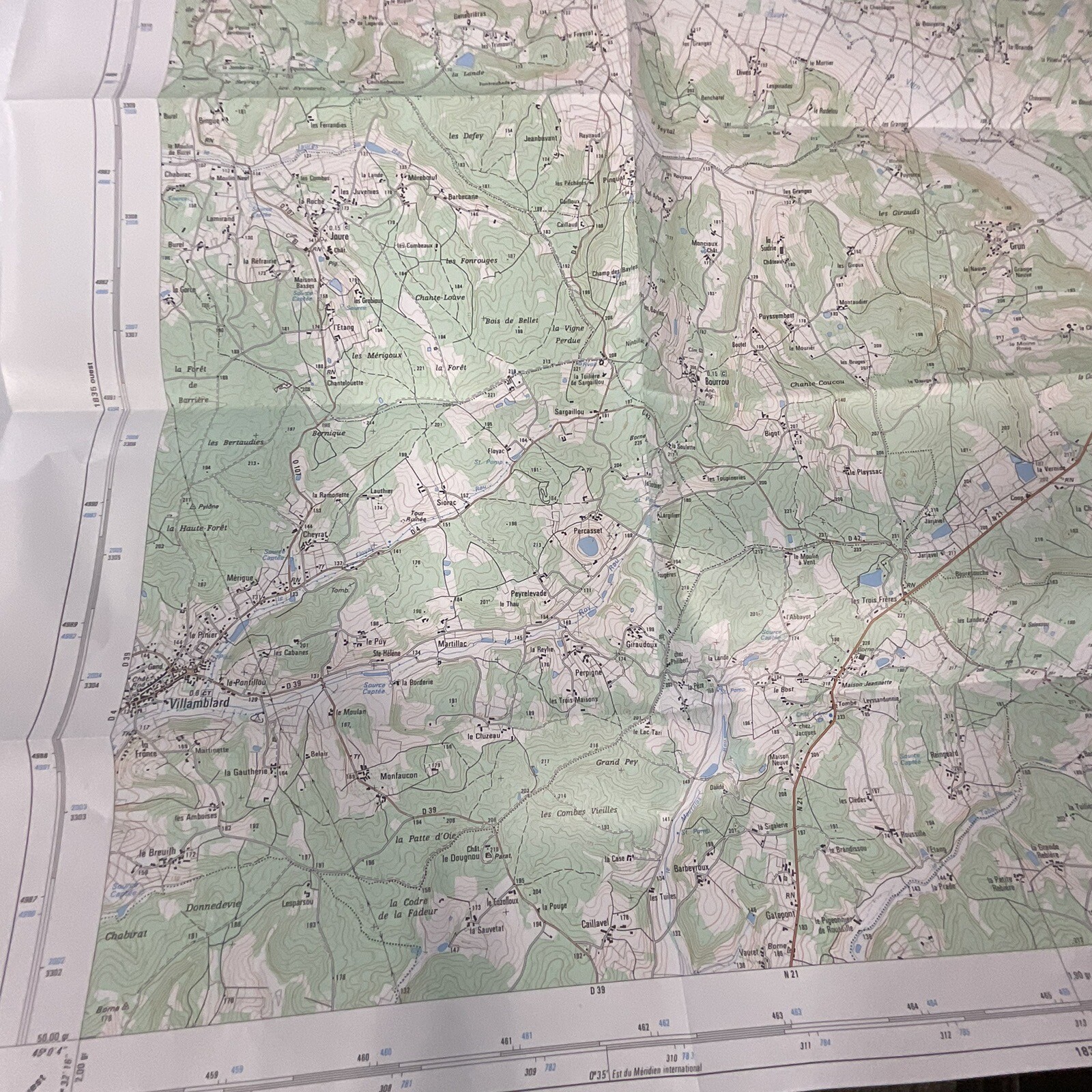
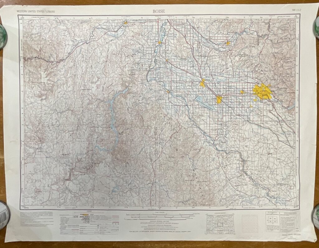
Folded IGN (Institut Géographique National) Série Bleue topographic map for Villamblard, designation 1835 E, sheet 3615, scale 1:25,000 as printed on the cover. Pre-owned with fold and handling wear. The publication date is not confirmed. Please review all photos for exact condition and details.













Reviews
There are no reviews yet.