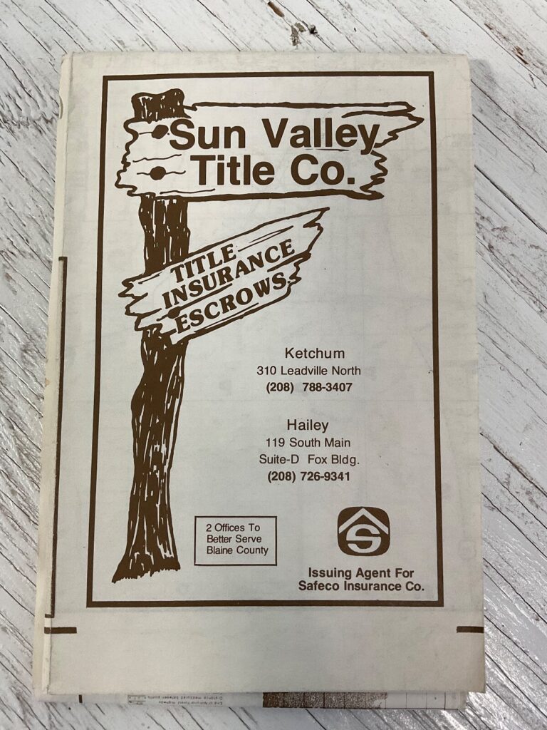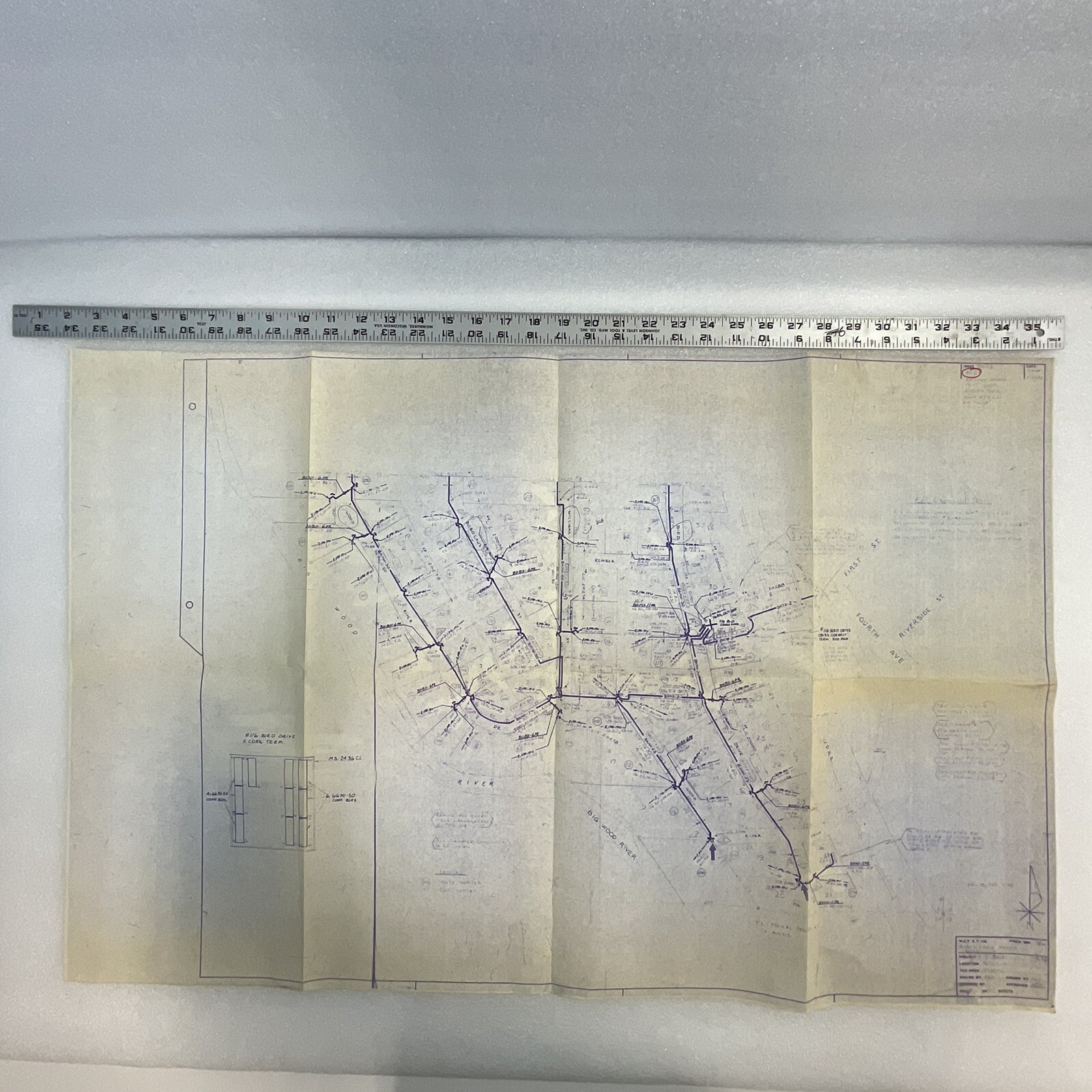
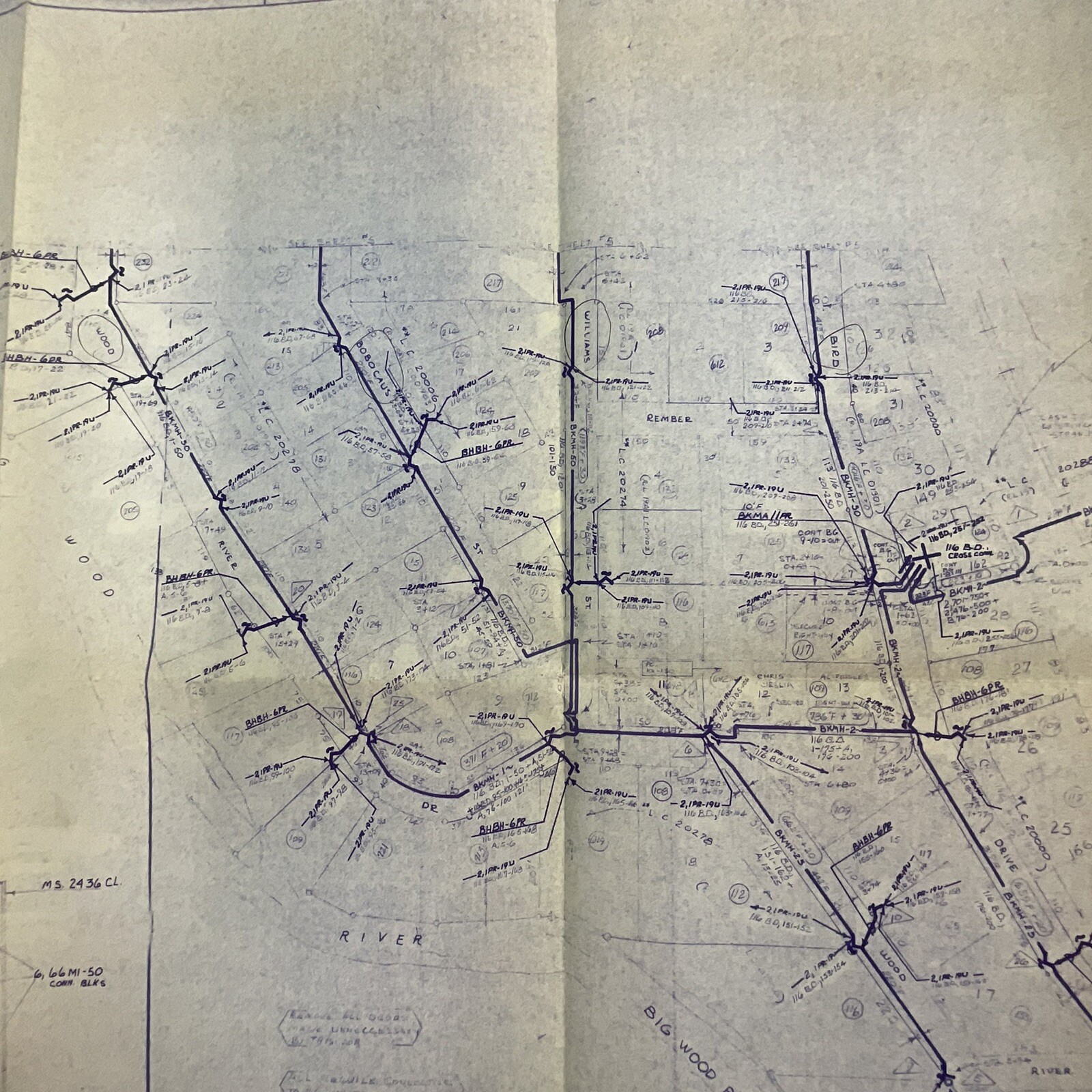
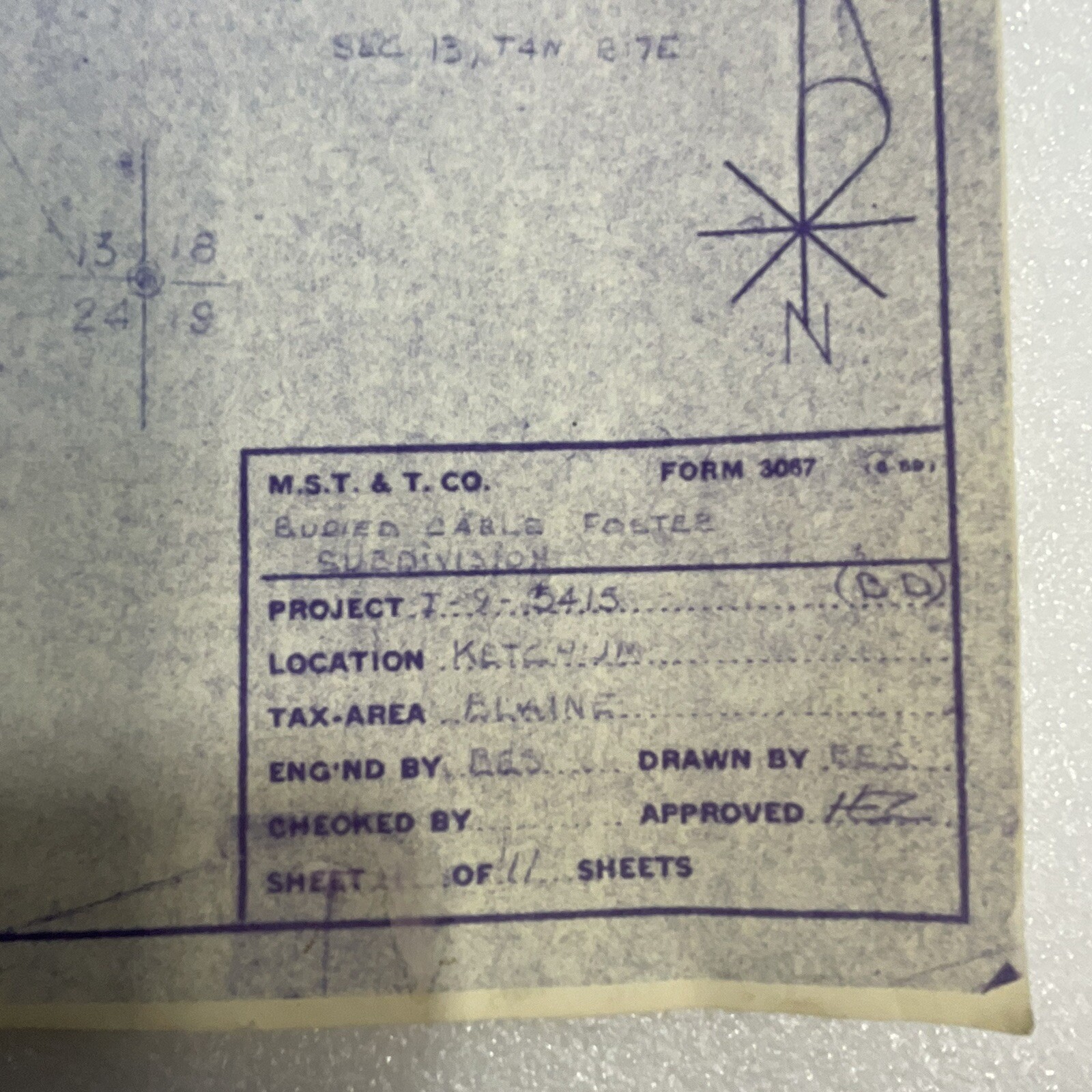
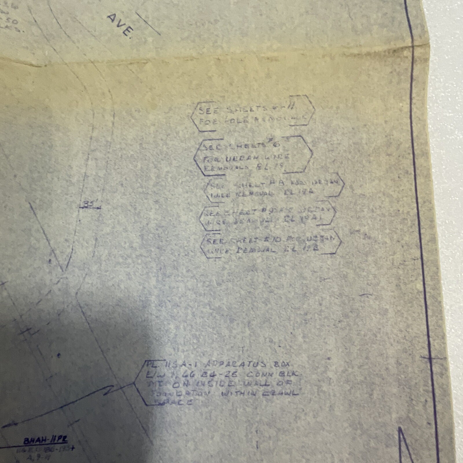
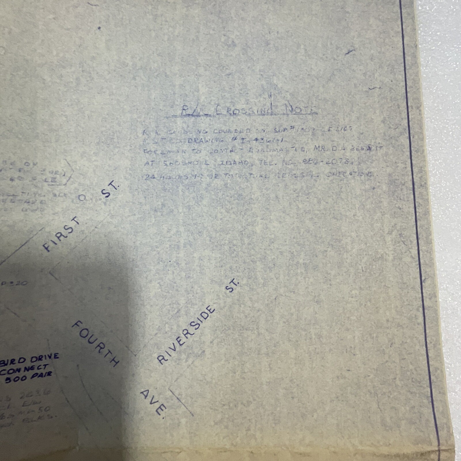
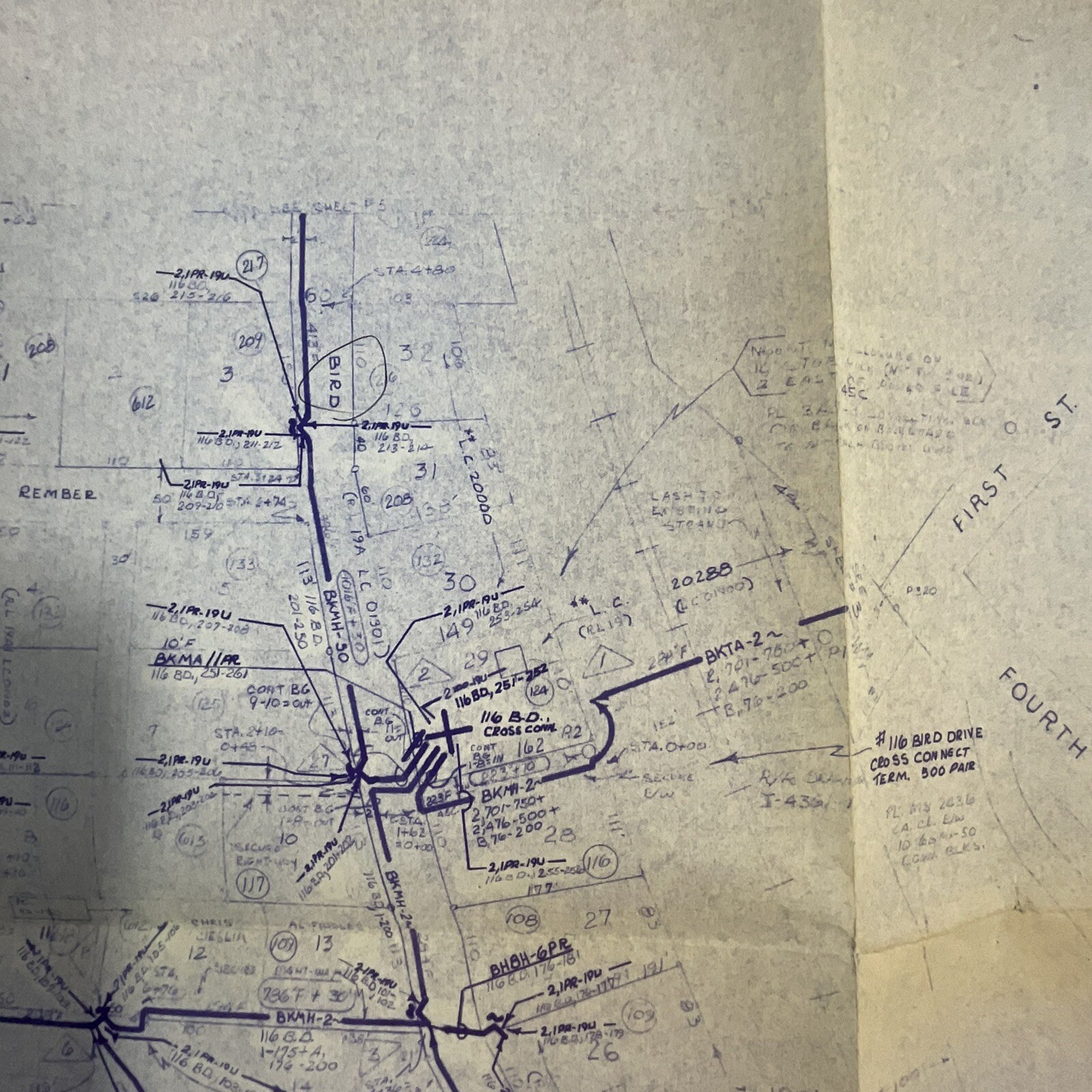
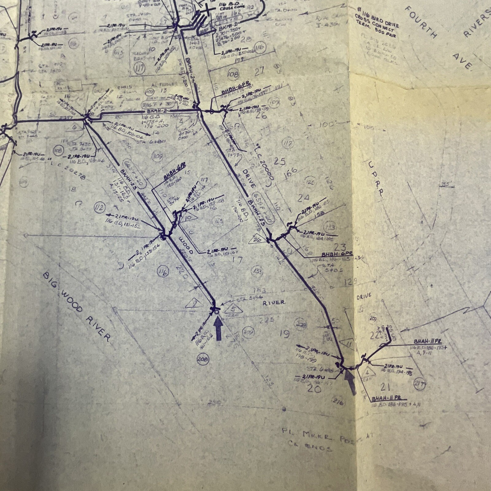
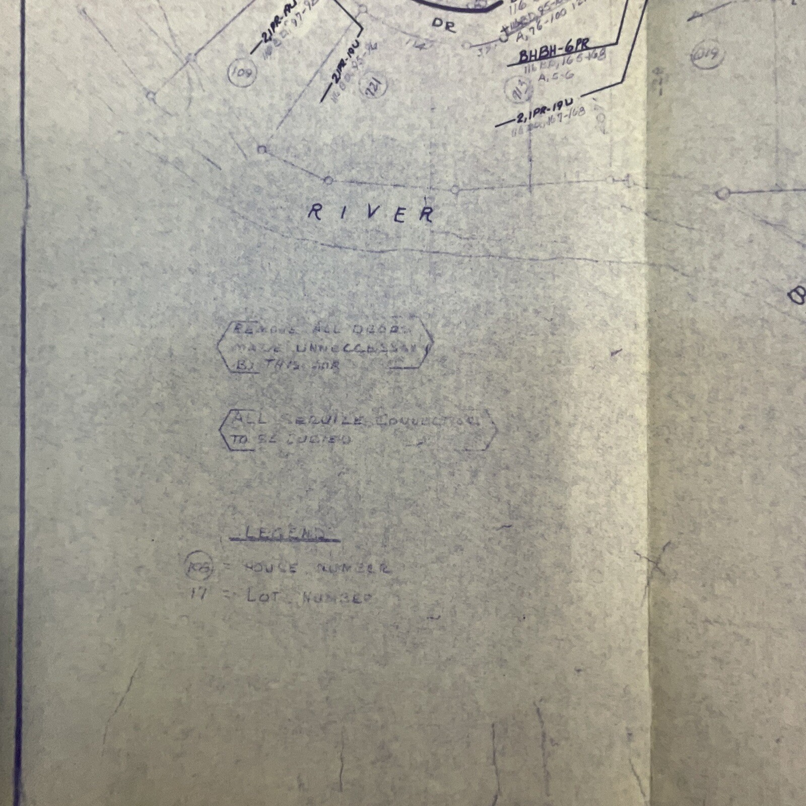
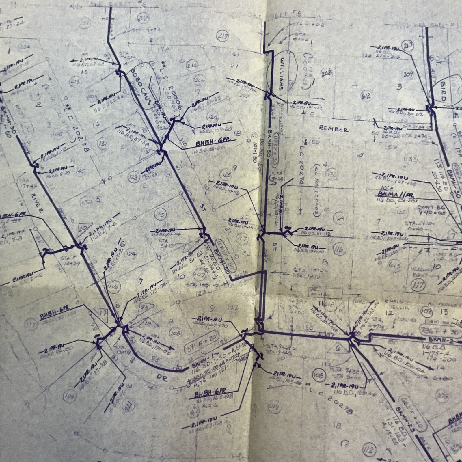
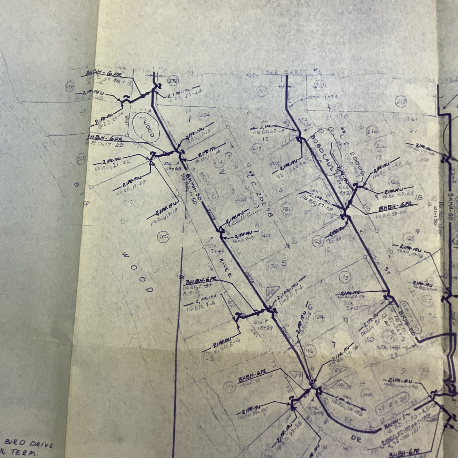
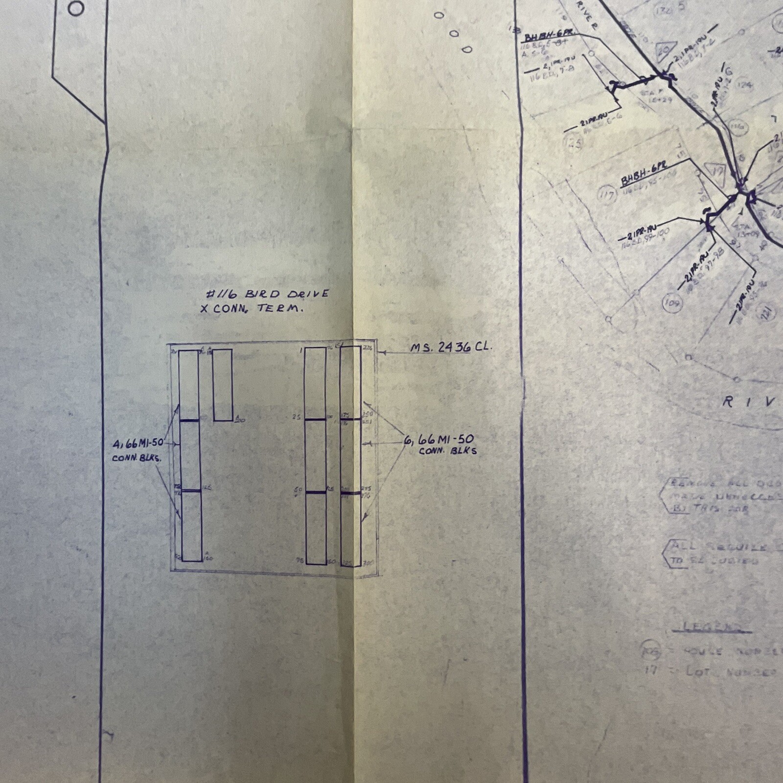
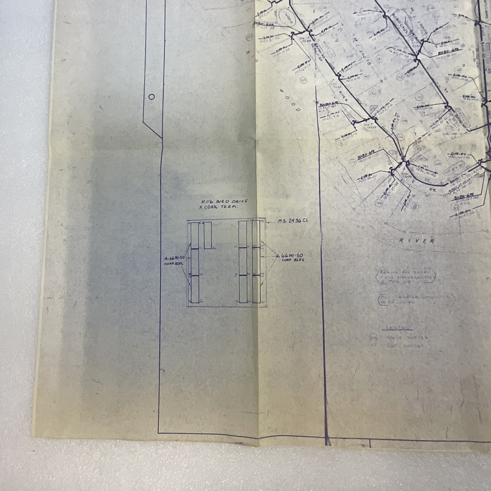
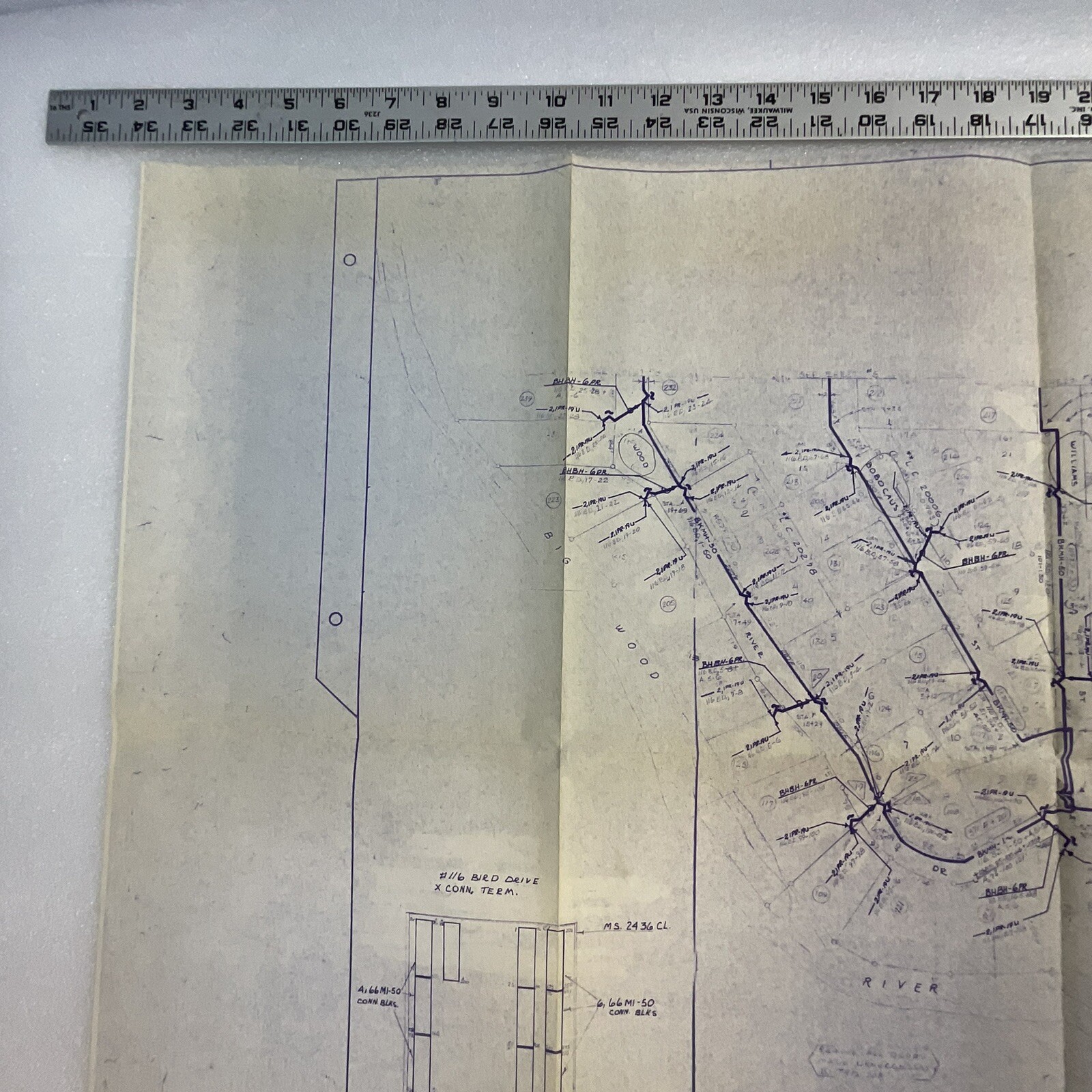
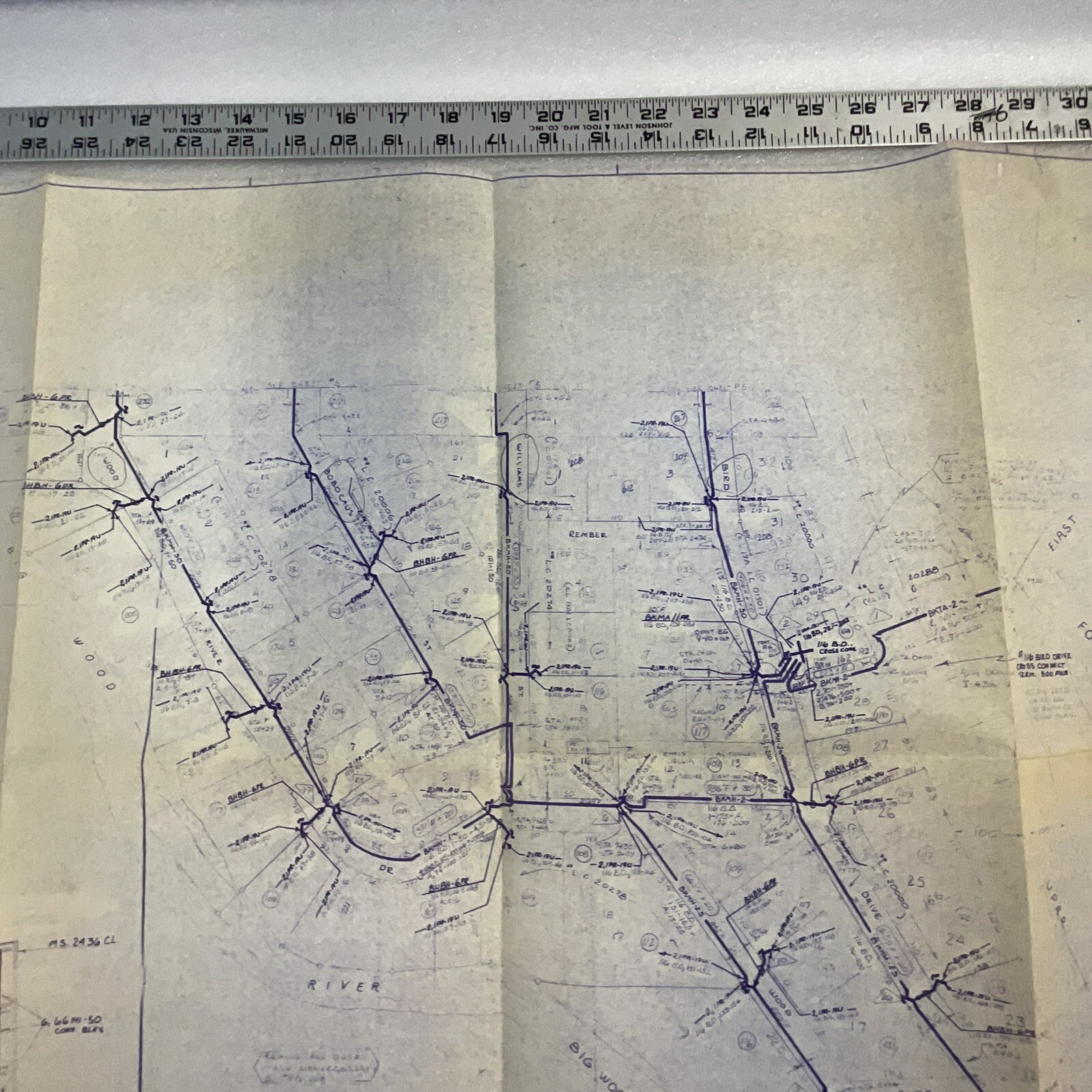
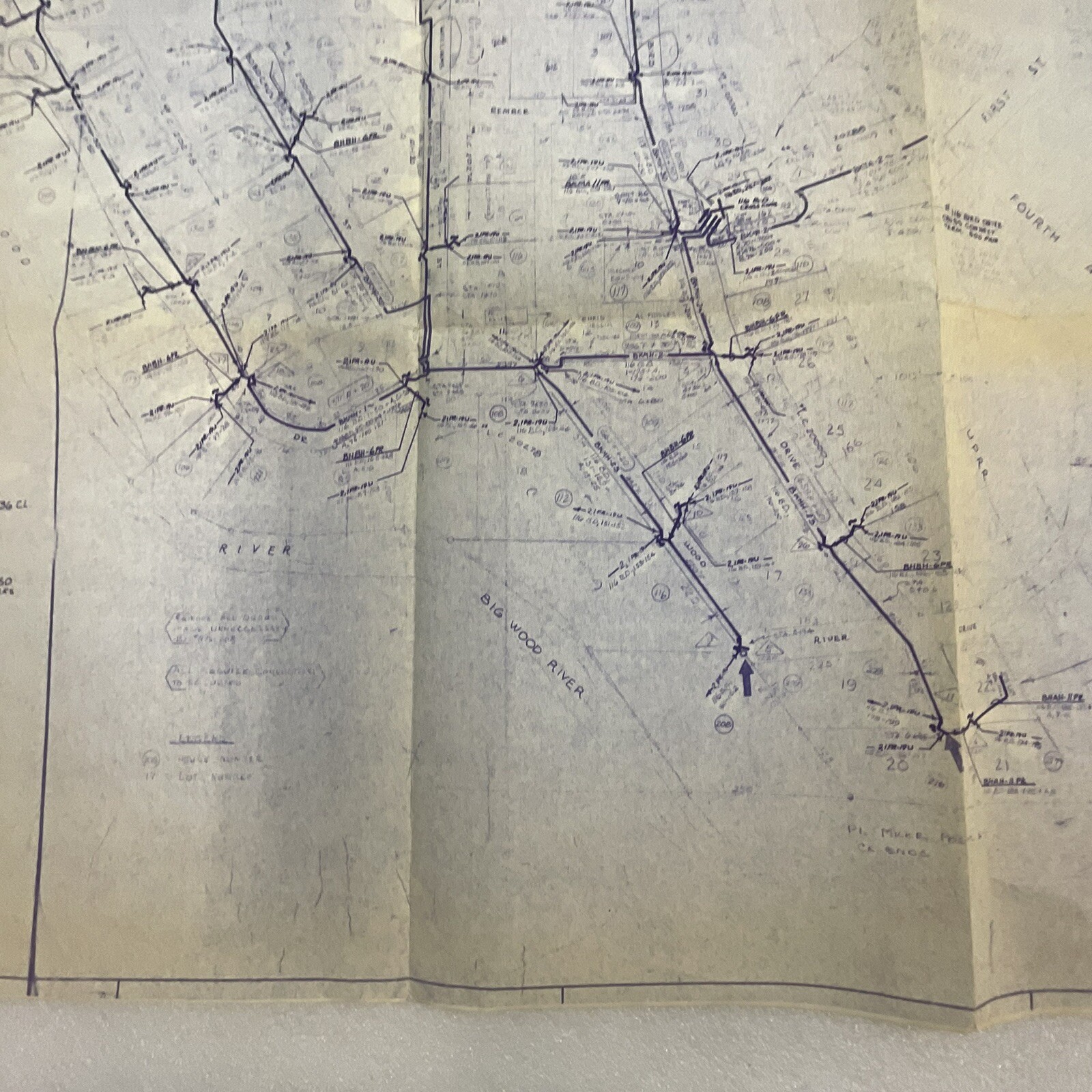
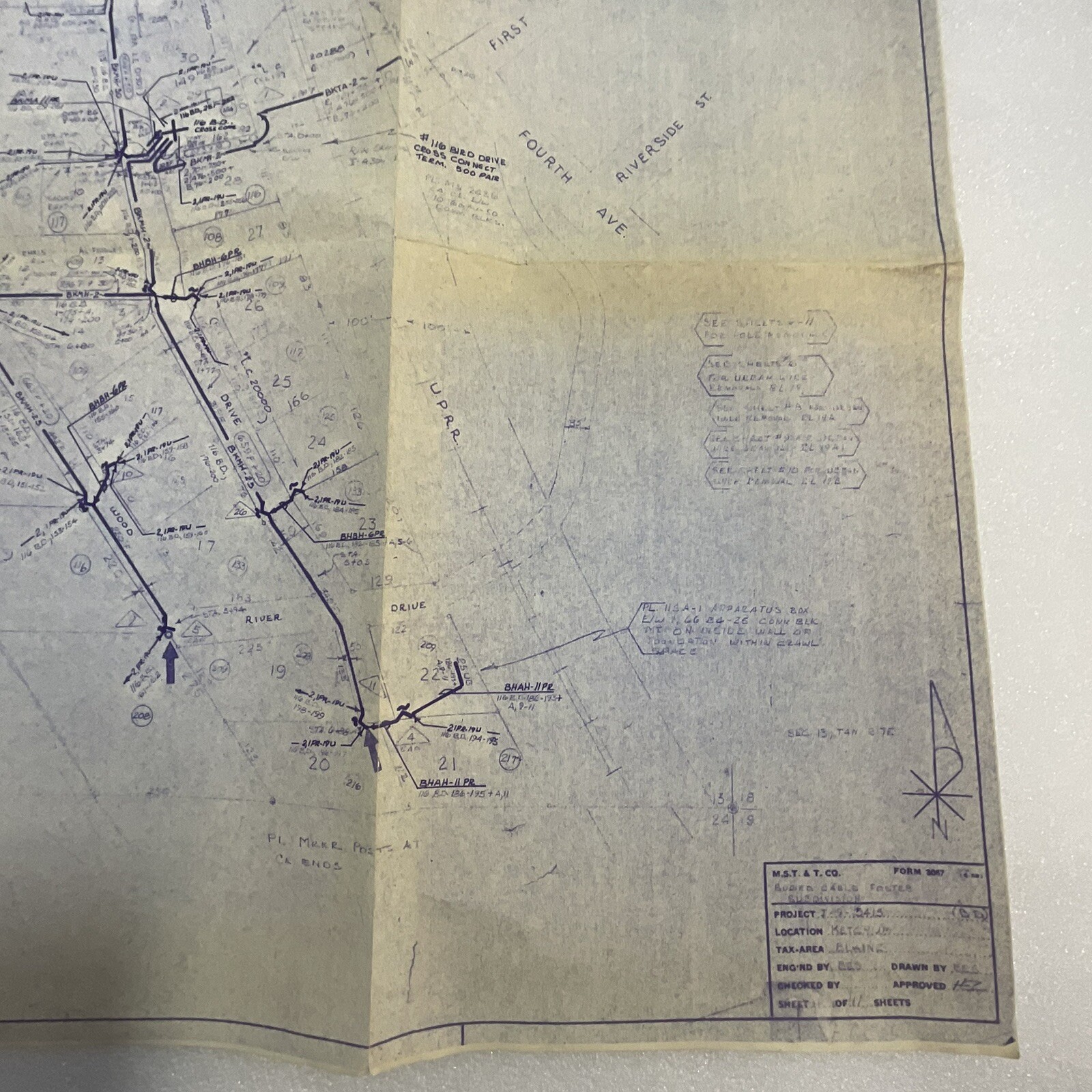
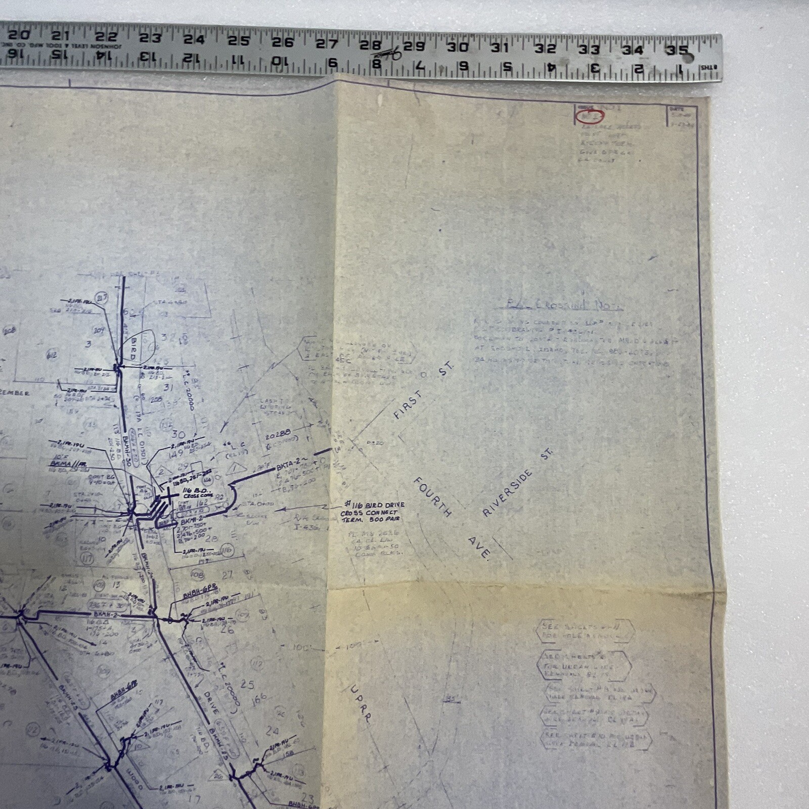
Blaine County Idaho Ketchum Plat Map T4N R17E Section 13

$29.99

ITEM DETAILS Blaine County, Idaho plat map covering T4N R17E, Section 13, near Ketchum. The folded paper map shows land boundaries and survey details. CONDITION Good preowned condition with age rel

In stock

SKU: GNU 155 shared bag in GNU 140
Category: , ,

Description

ITEM DETAILS

Blaine County, Idaho plat map covering T4N R17E, Section 13, near Ketchum. The folded paper map shows land boundaries and survey details.

CONDITION

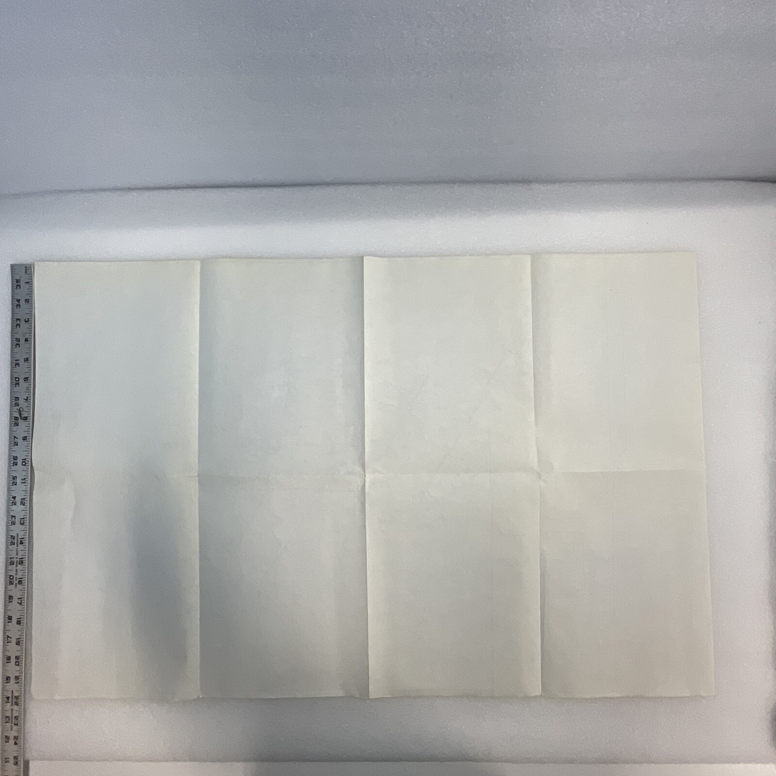
Good preowned condition with age related discoloration, folds, creases, and wear visible in the photos.

WHAT’S INCLUDED

One folded plat map as shown.
Additional information

Weight 0.5 lbs
Condition

good

Reviews

There are no reviews yet.

Be the first to review “Blaine County Idaho Ketchum Plat Map T4N R17E Section 13”

Your email address will not be published. Required fields are marked *

SHOP THE GNUS

Explore the departments