
Description
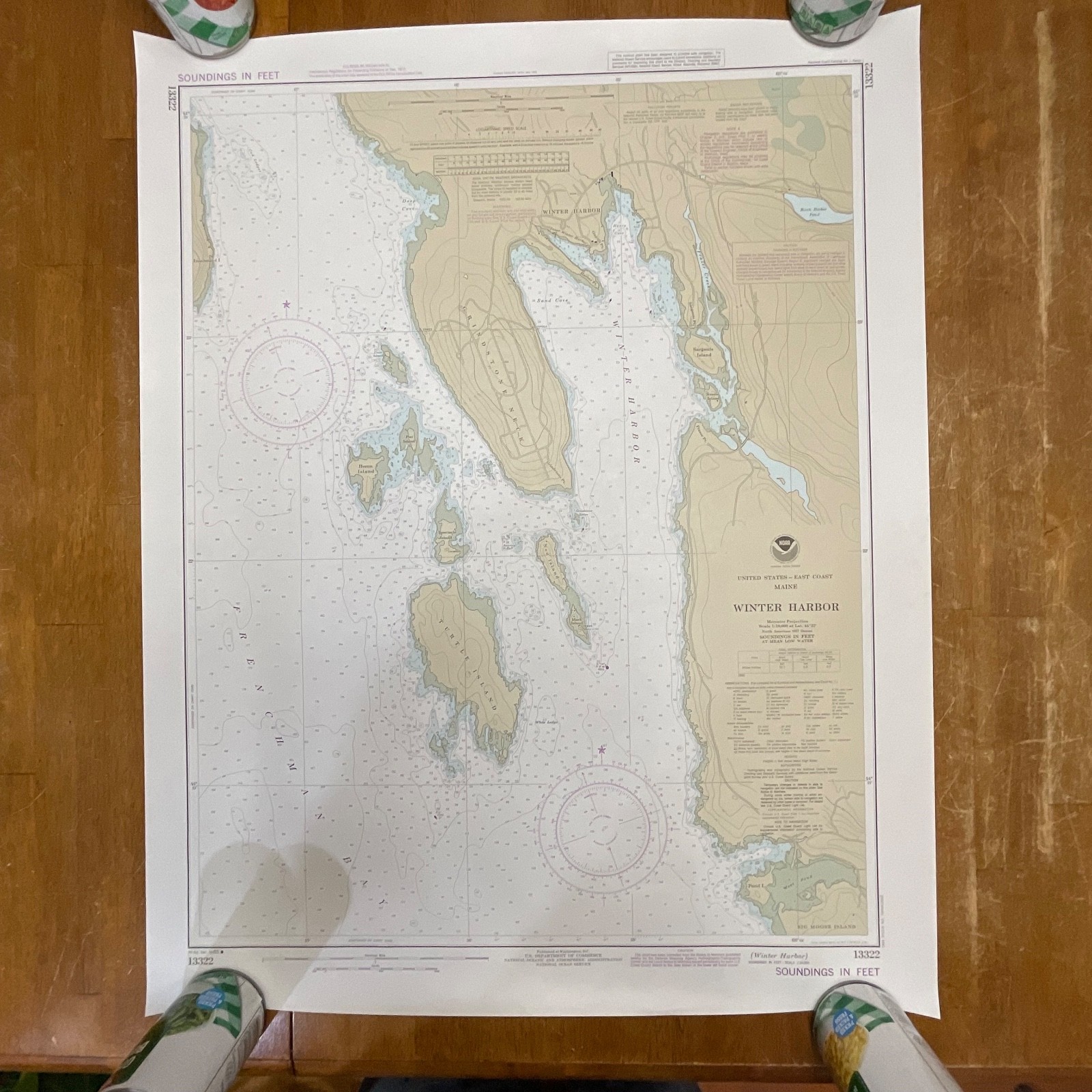
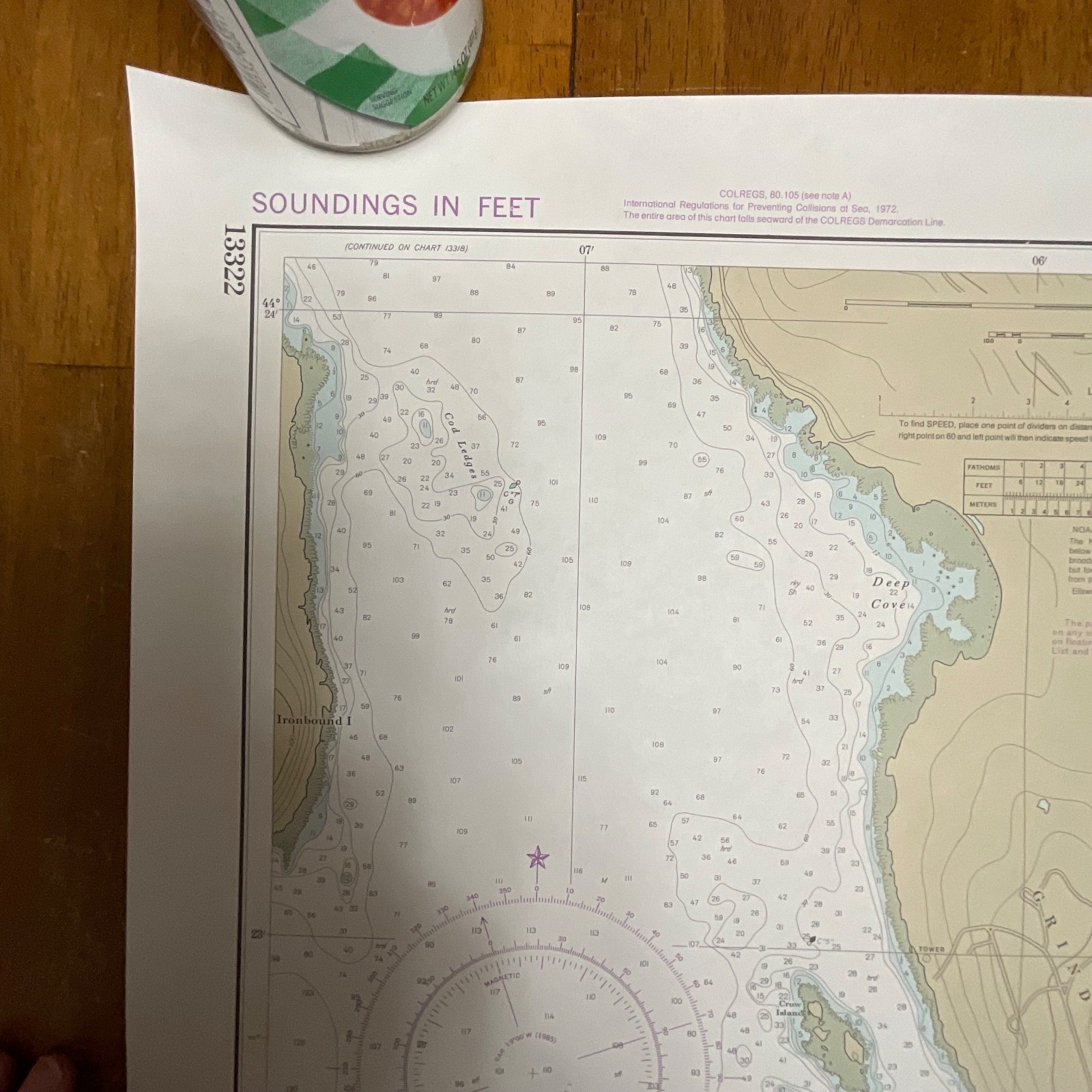
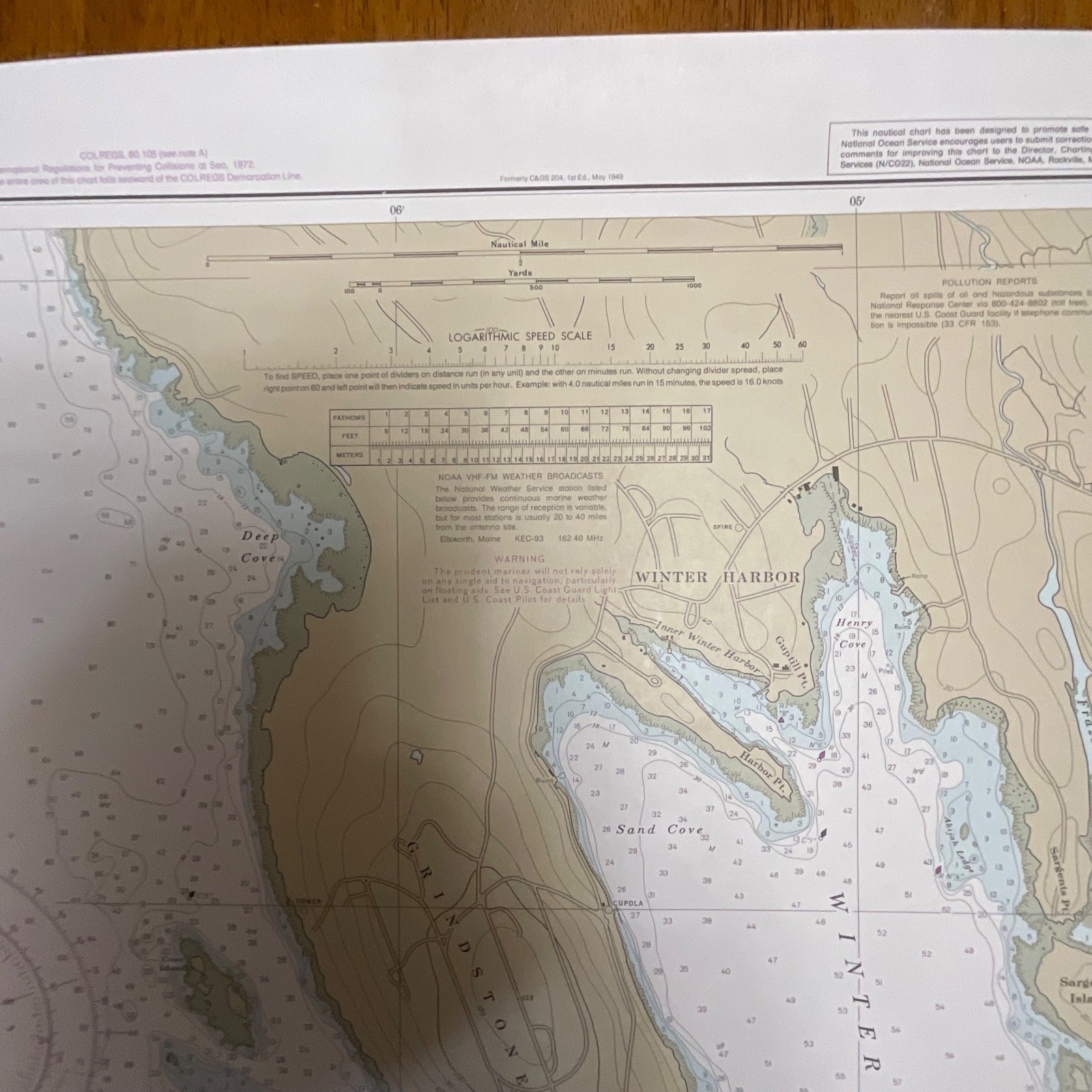
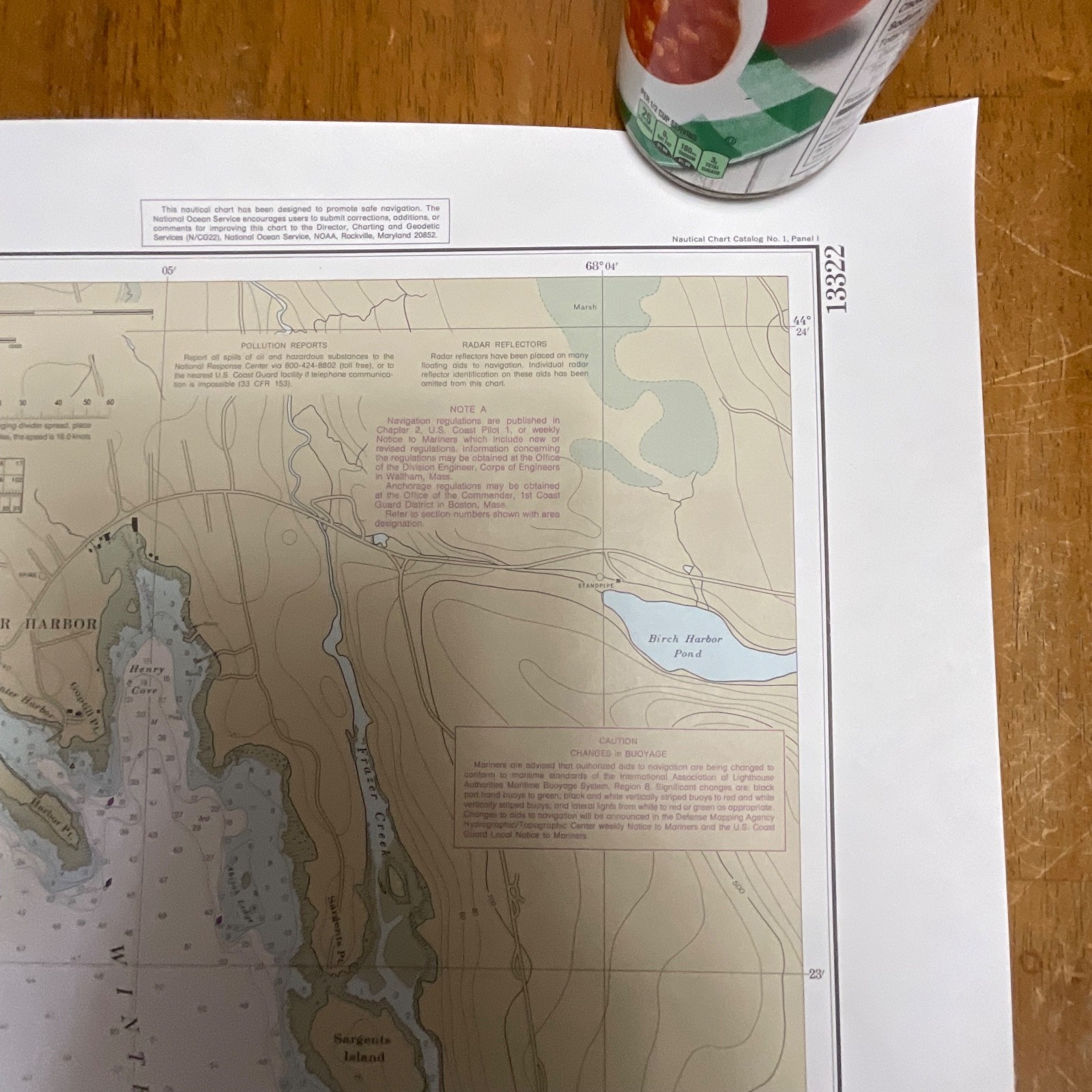
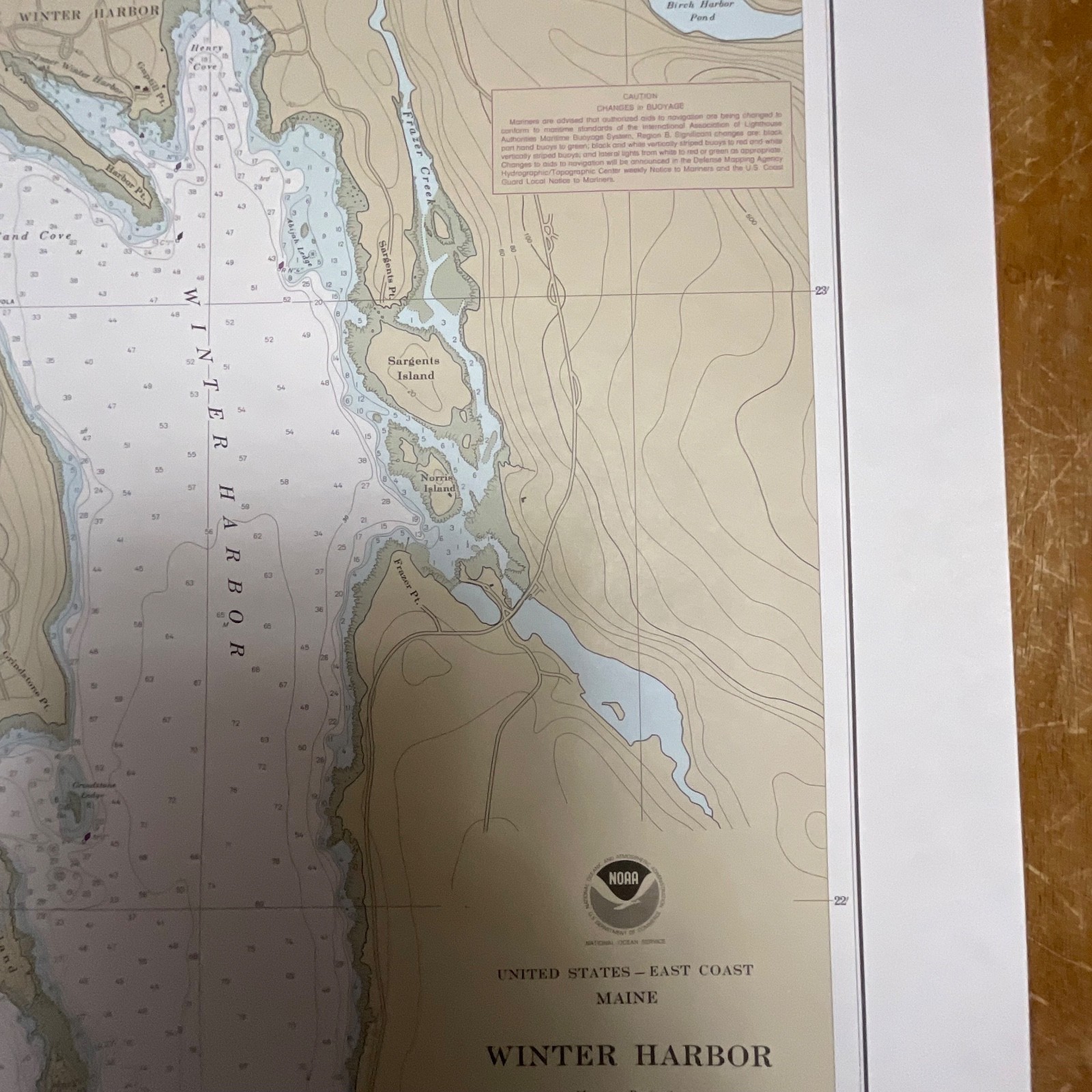
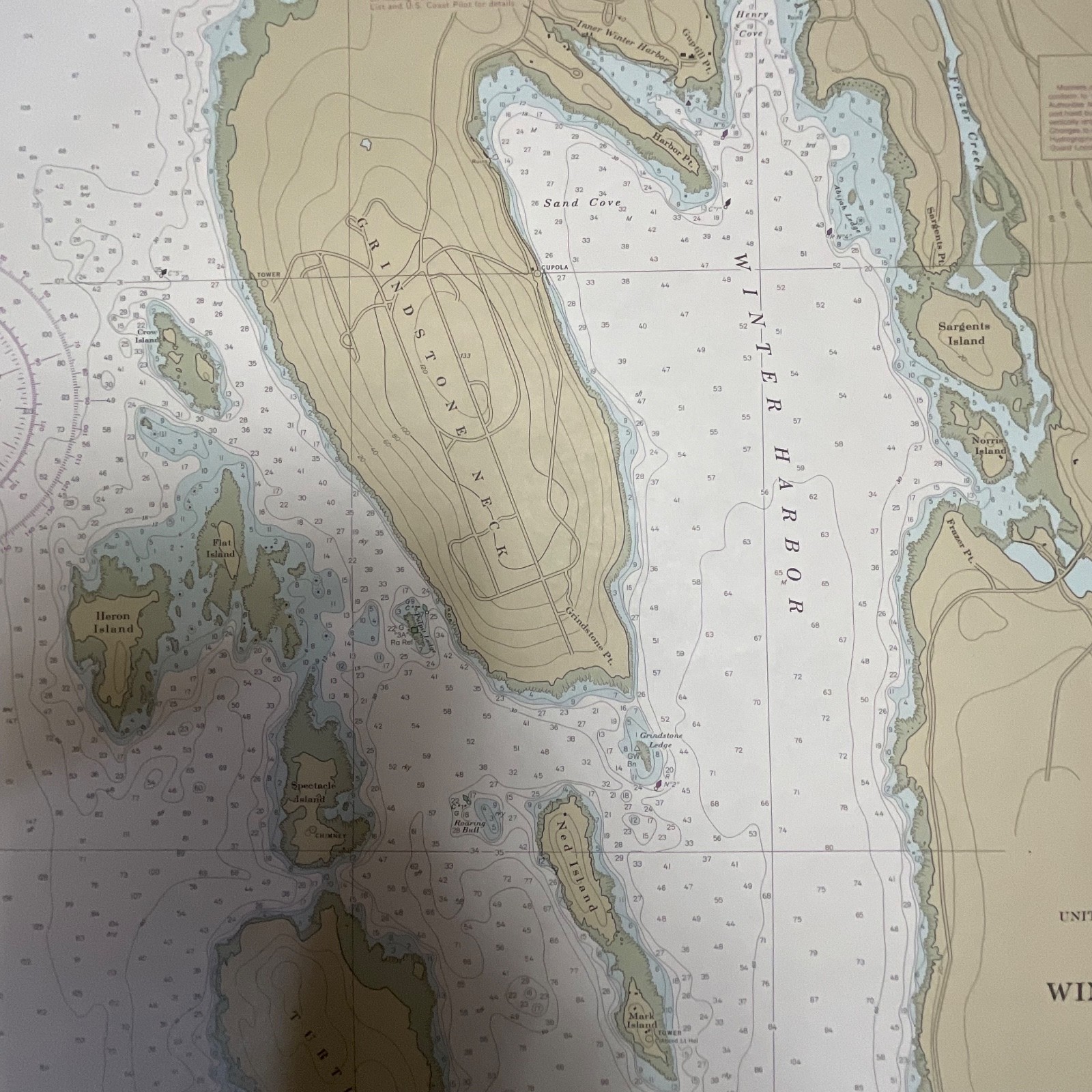
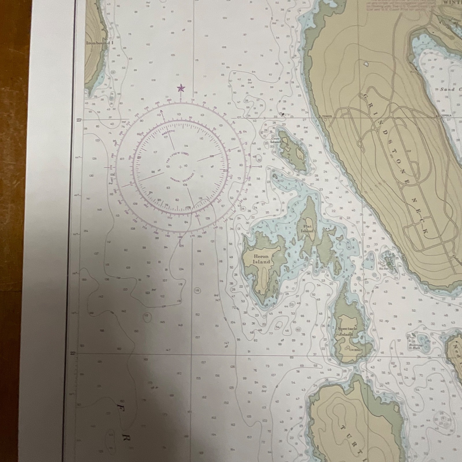
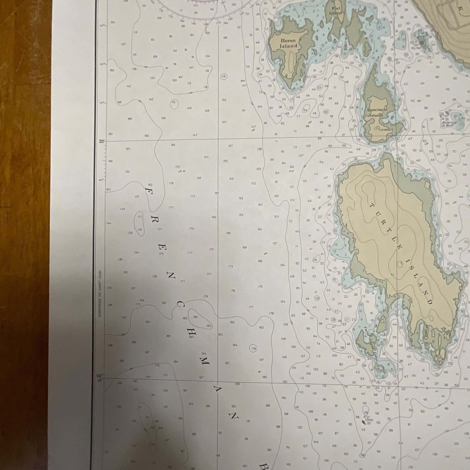
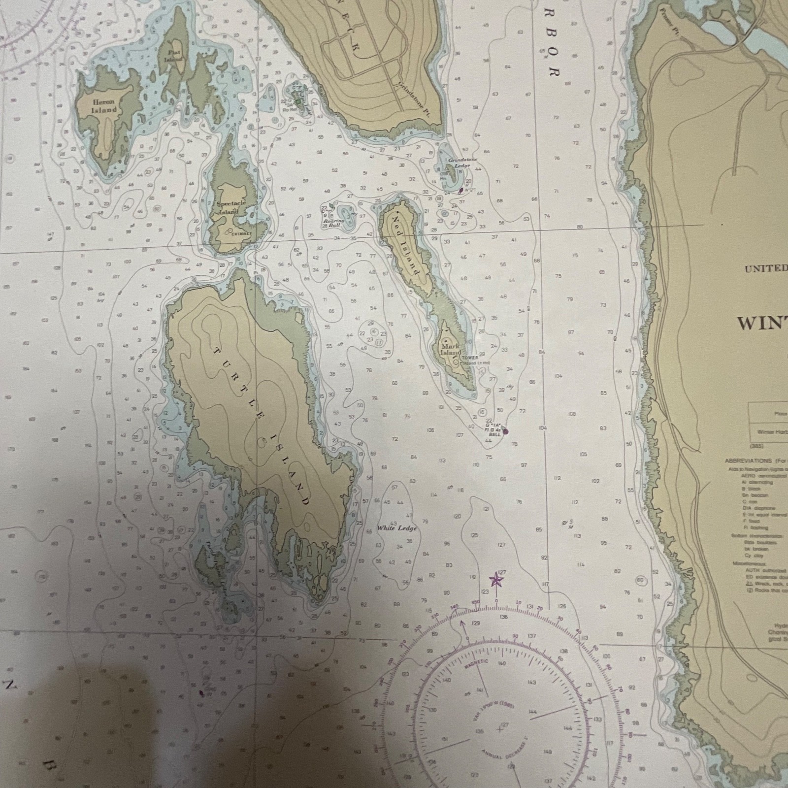
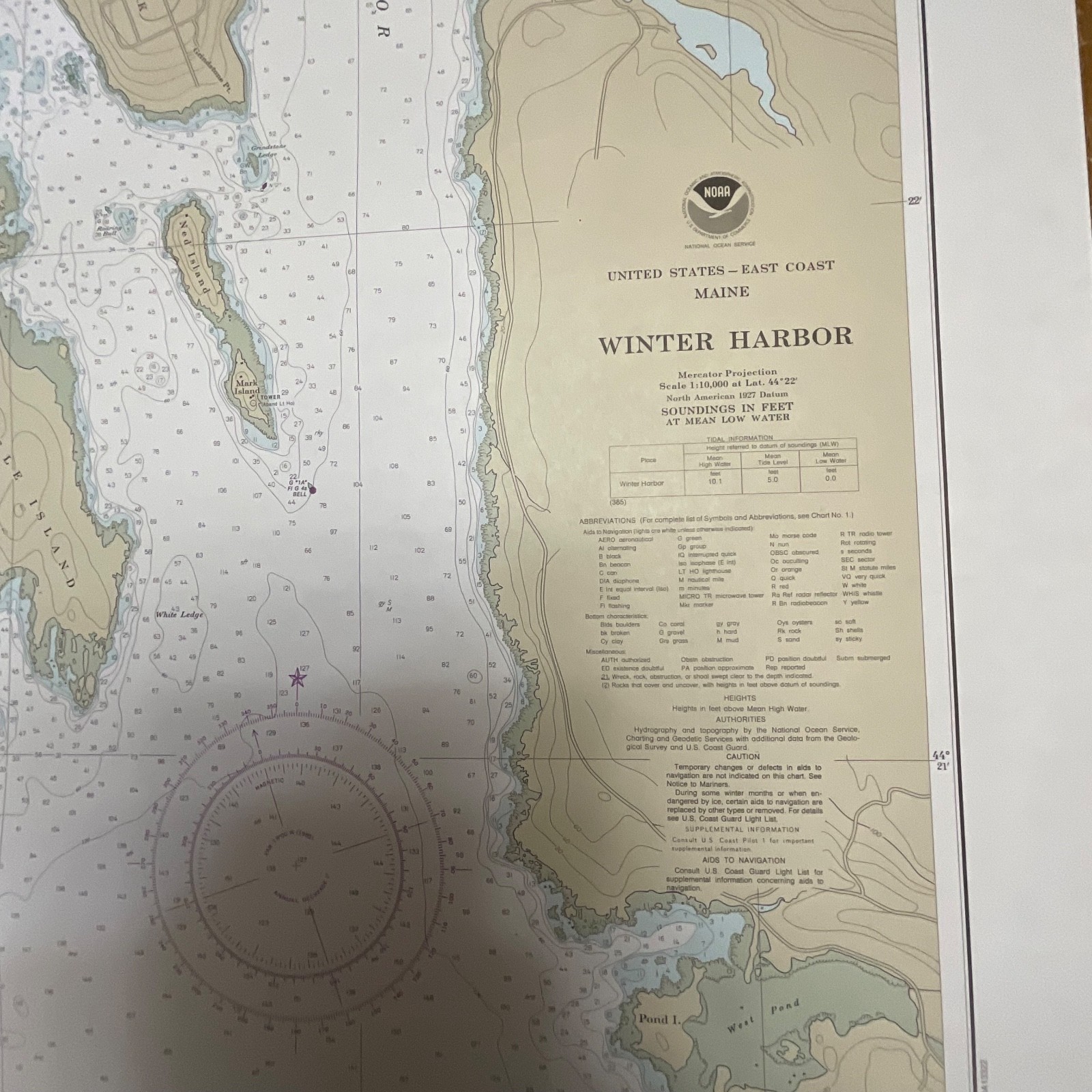
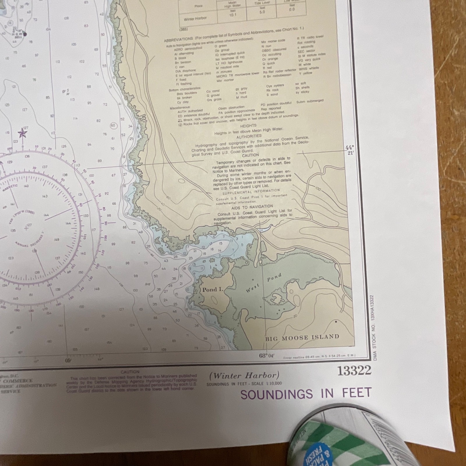
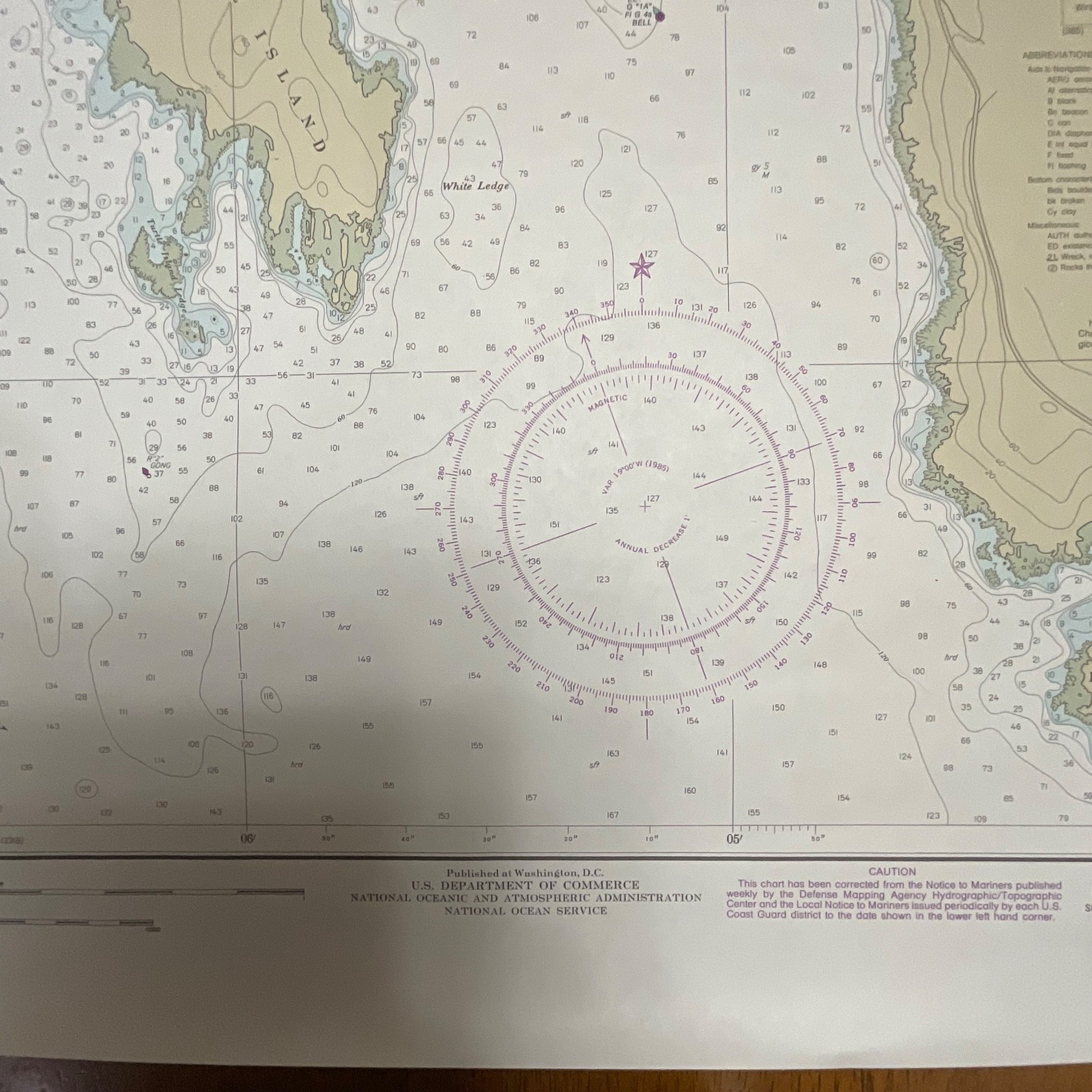
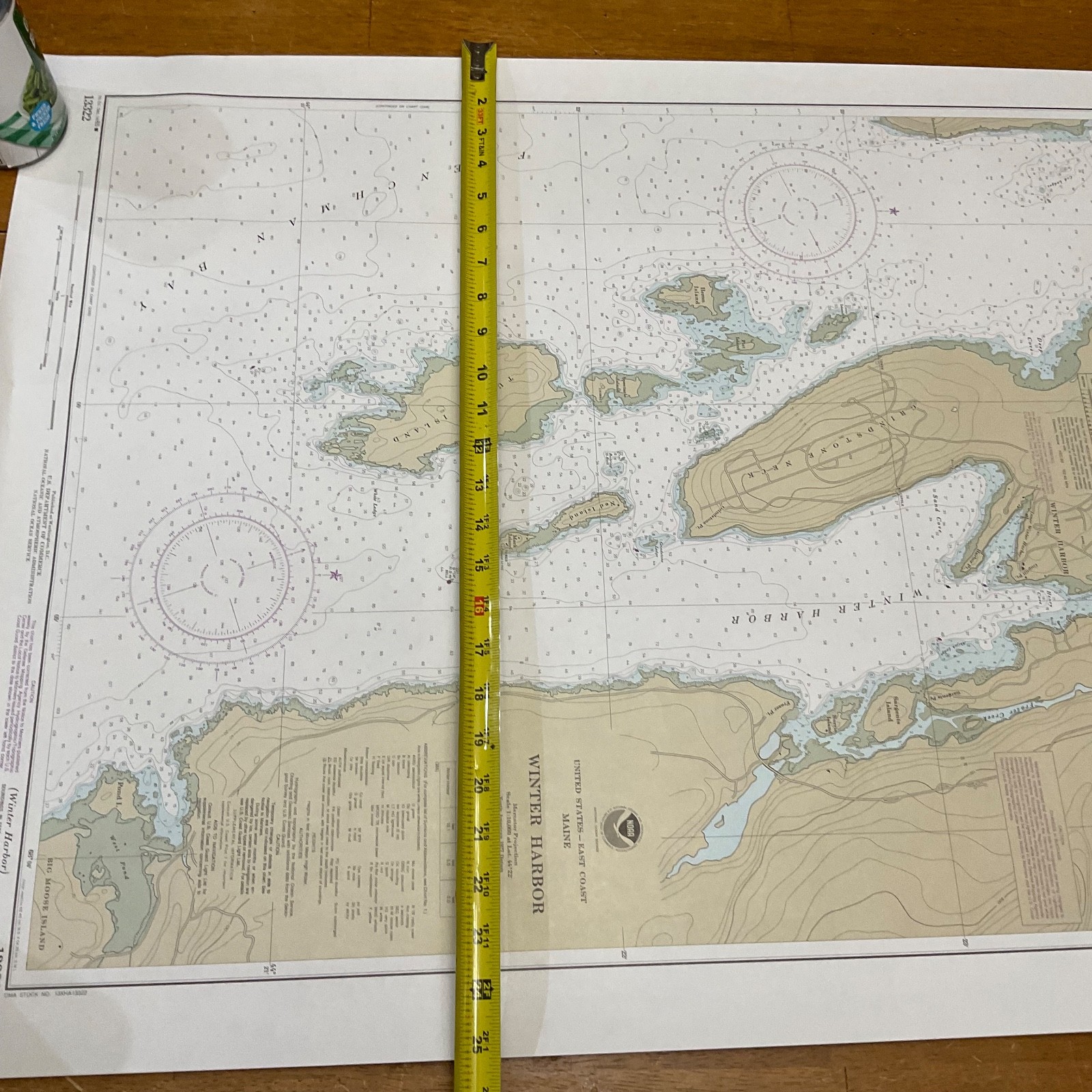
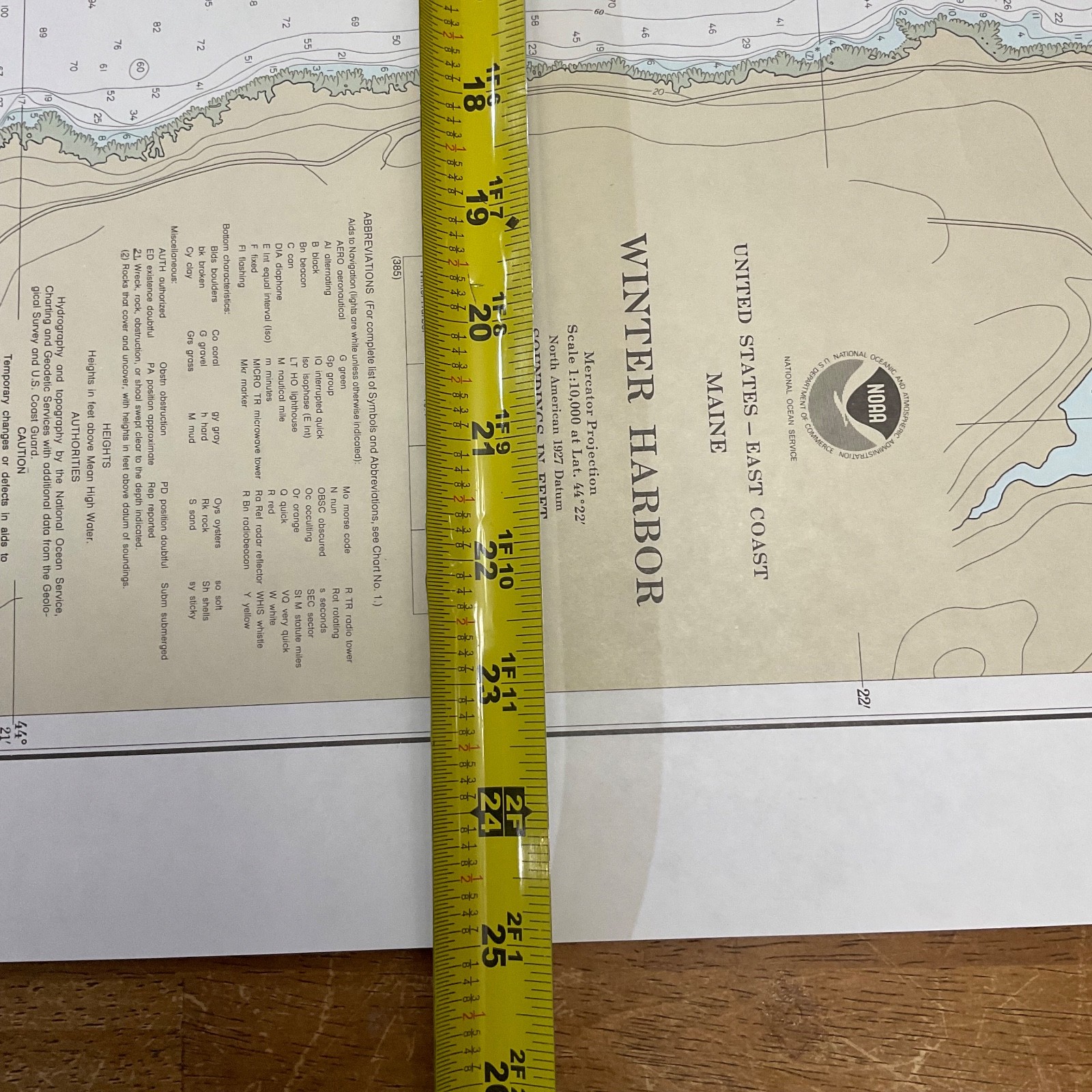
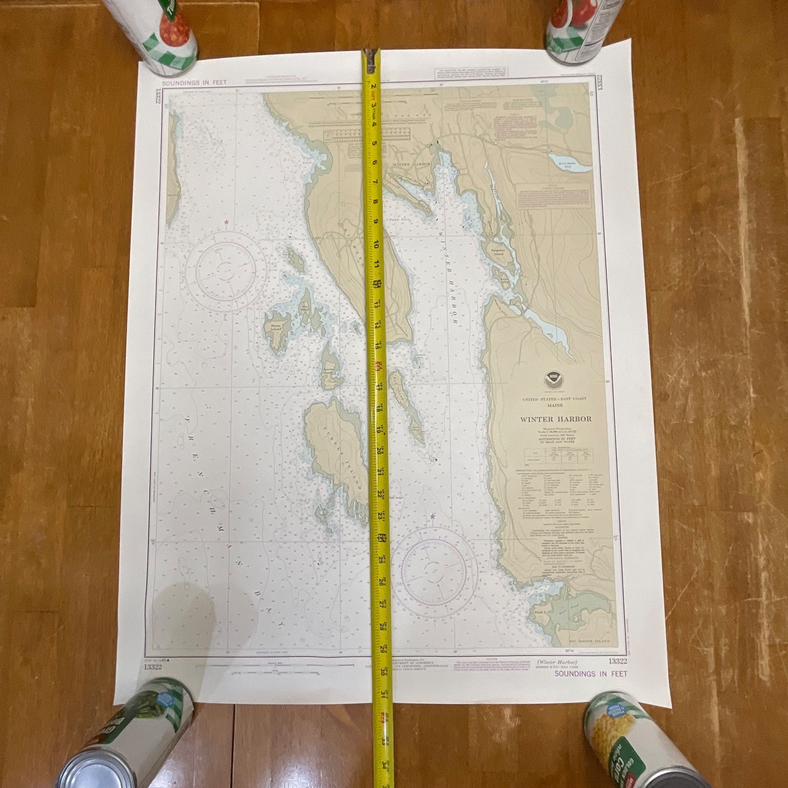
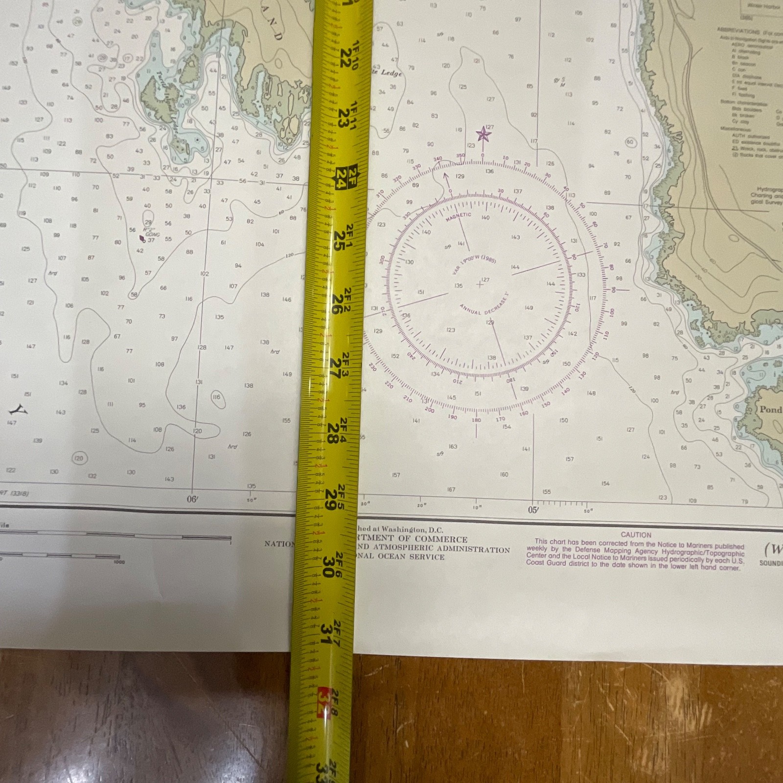
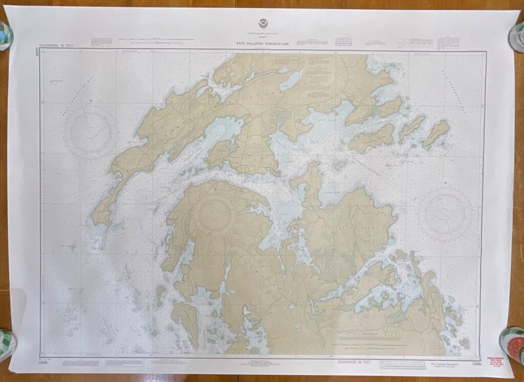
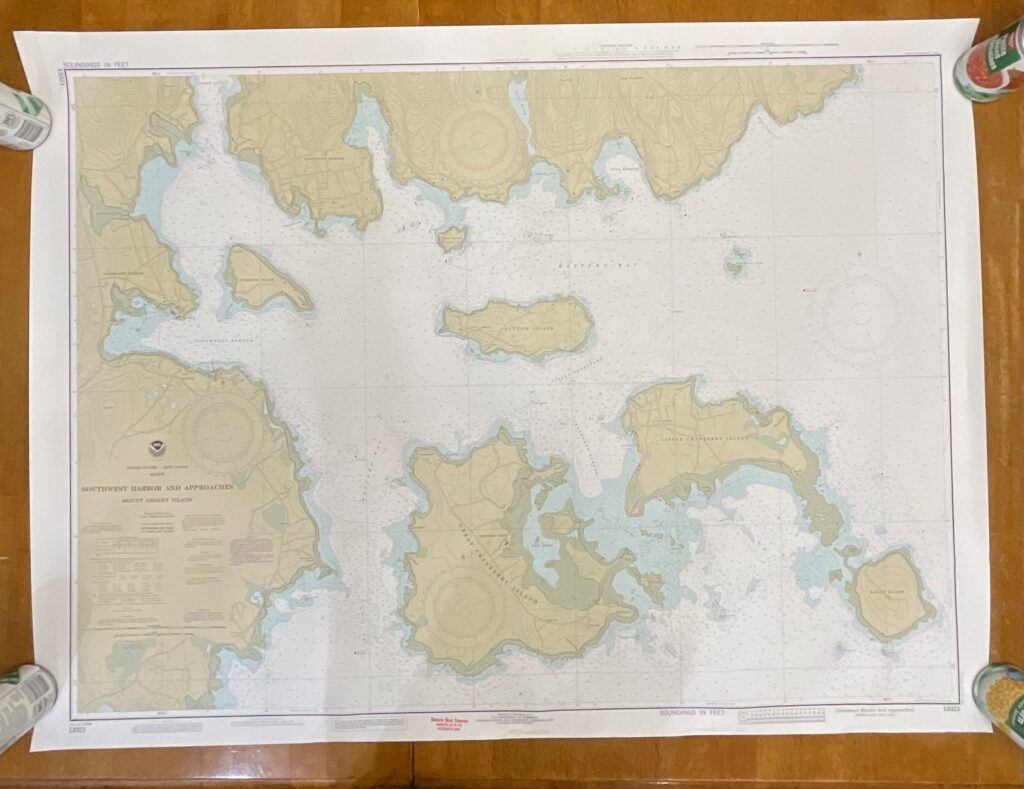
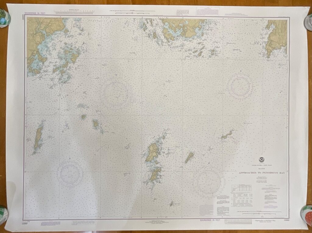
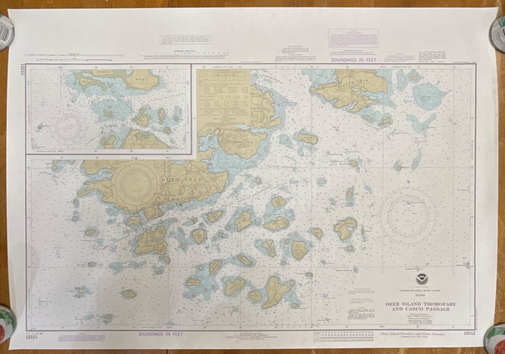
This is an original 1985 NOAA nautical chart of Winter Harbor, Maine, showing detailed coastal topography, depth soundings, and navigational markings in the classic mid-80s NOAA style. The chart features clear printing, full margins, and crisp color separation typical of the period’s hydrographic production.
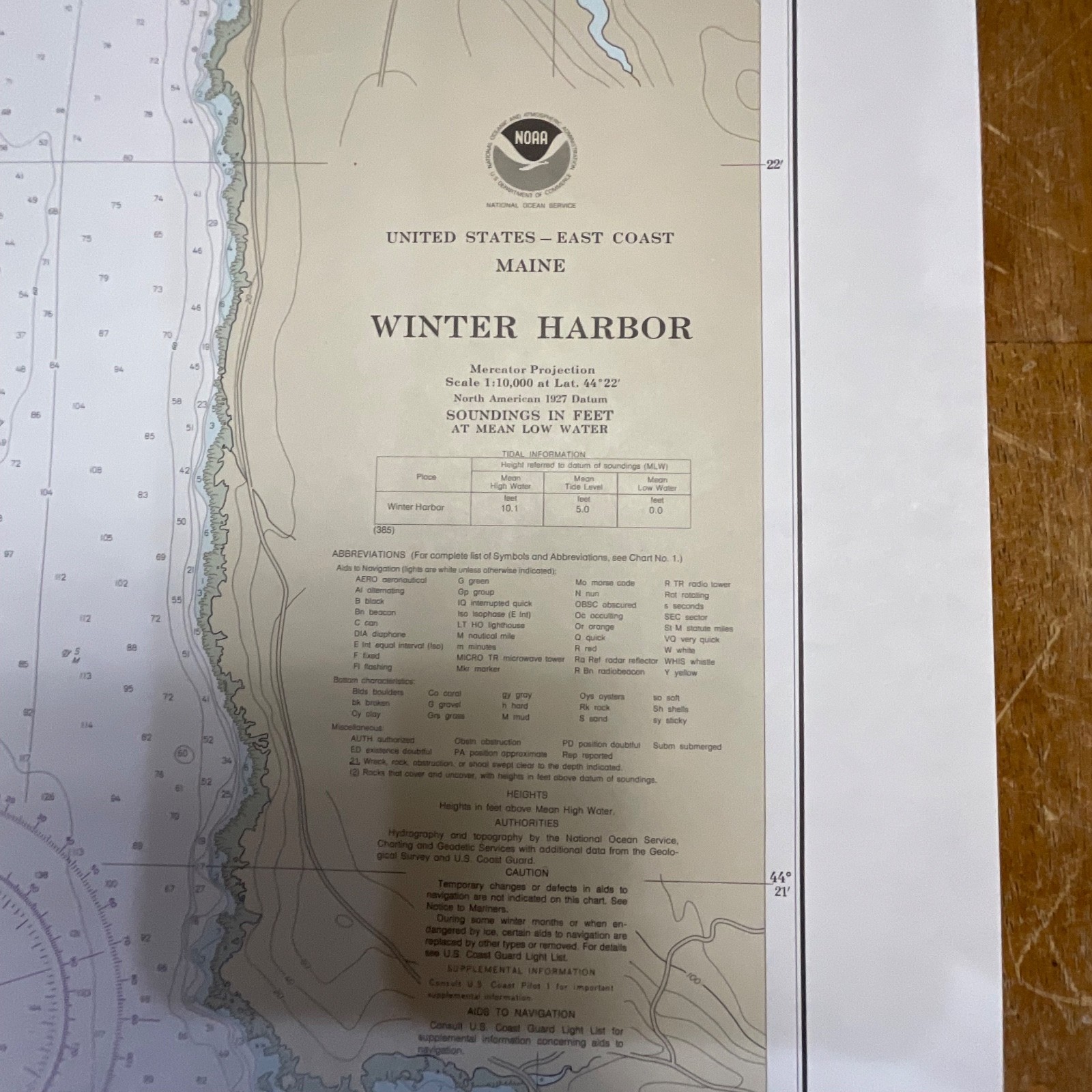
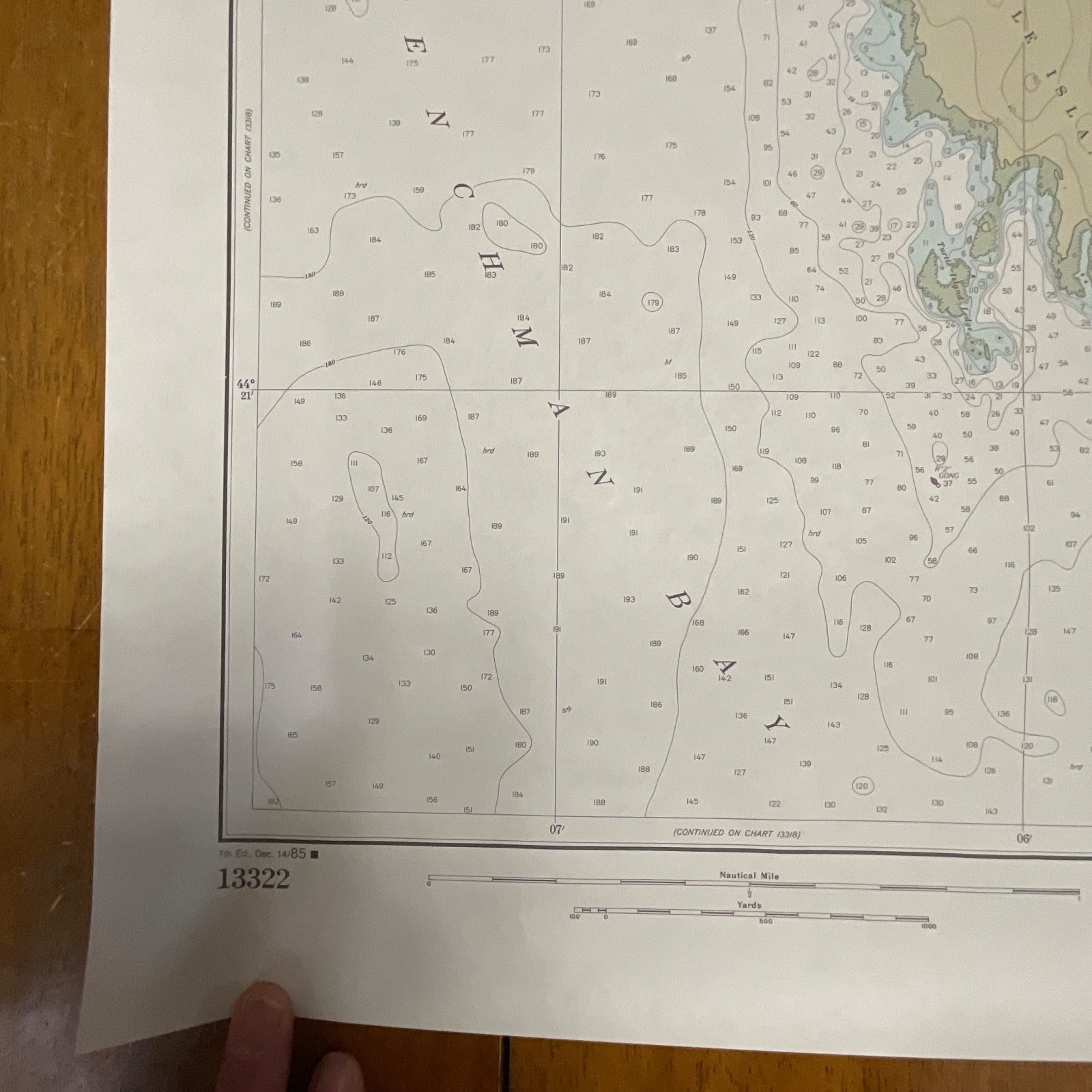
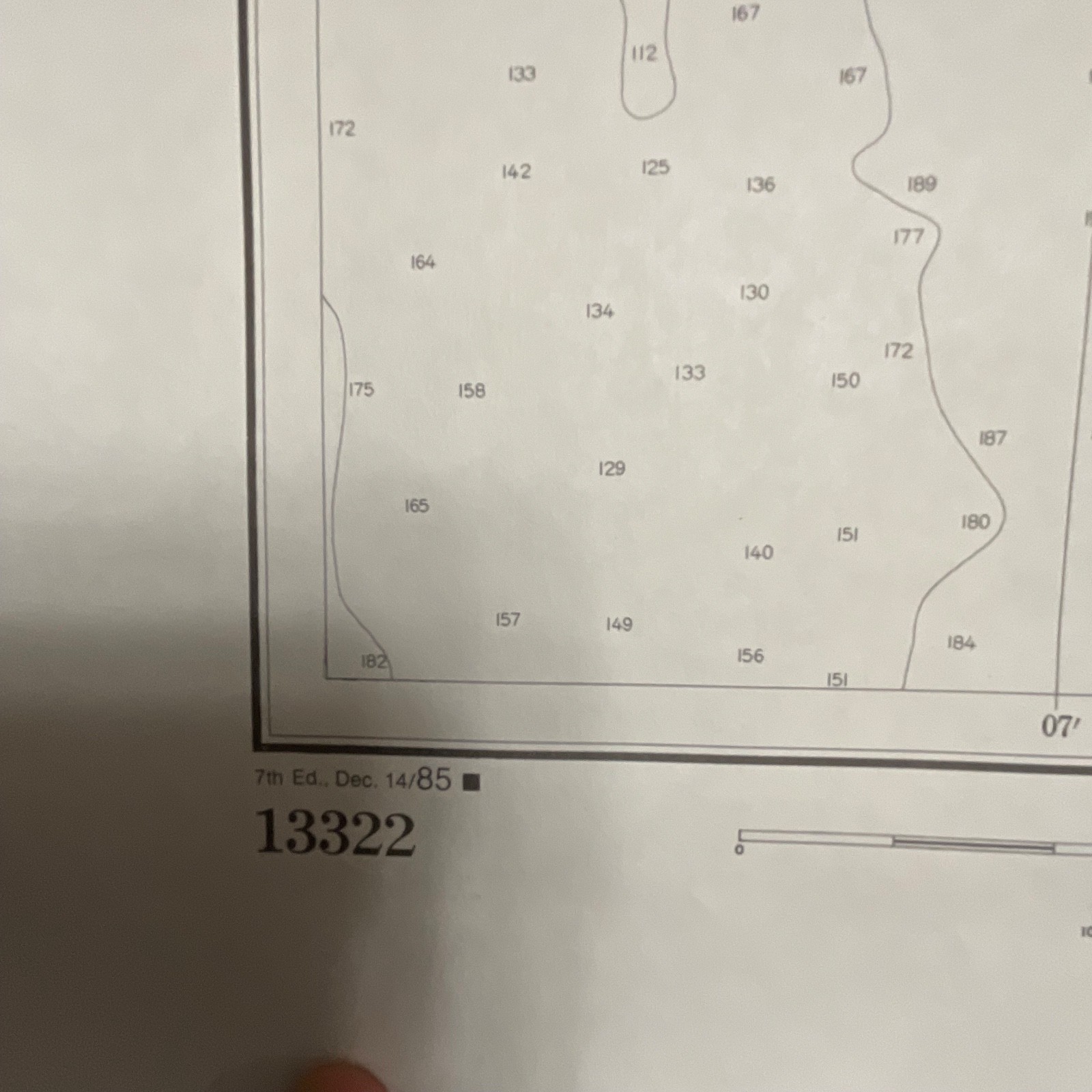
The piece includes Chart No. 13322, soundings in feet, Mercator projection details, navigational notes, NOAA insignia, and the 7th Edition Dec. 14, 1985 imprint. Paper stock is the standard NOAA chart paper—matte, lightly textured, and suitable for framing. No major flaws are visible beyond light handling from storage.
Measurements: approximately 31in tall x 25in wide
Shipping note: Ships securely with protective packaging; prompt shipping excluding Federal Holidays.
Condition Description
Pre-owned vintage chart in clean, well-preserved condition with only minor handling wear visible. No tears or staining noted. Please review all photos for exact condition before purchase.
Item Specifics
Category: Collectibles → Transportation → Maps & Atlases → Maritime
Type: Nautical Chart
Style: Coastal navigation map
Material: Paper
Color: Multicolor (tan/blue/white)
Size: 31in x 25in
Era: 1985 (7th Edition)
Occasion: Maritime, Fishing, Sailing
Gender/Unisex: Unisex
Brand/Signature: NOAA (National Oceanic and Atmospheric Administration)
Country/Region: United States
Chart Number: 13322
UPC: Not present on item
Reviews
There are no reviews yet.