
Description
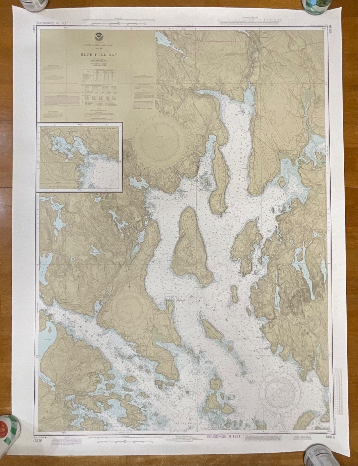
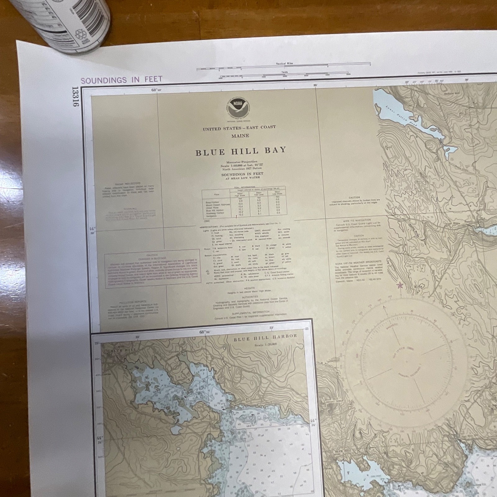
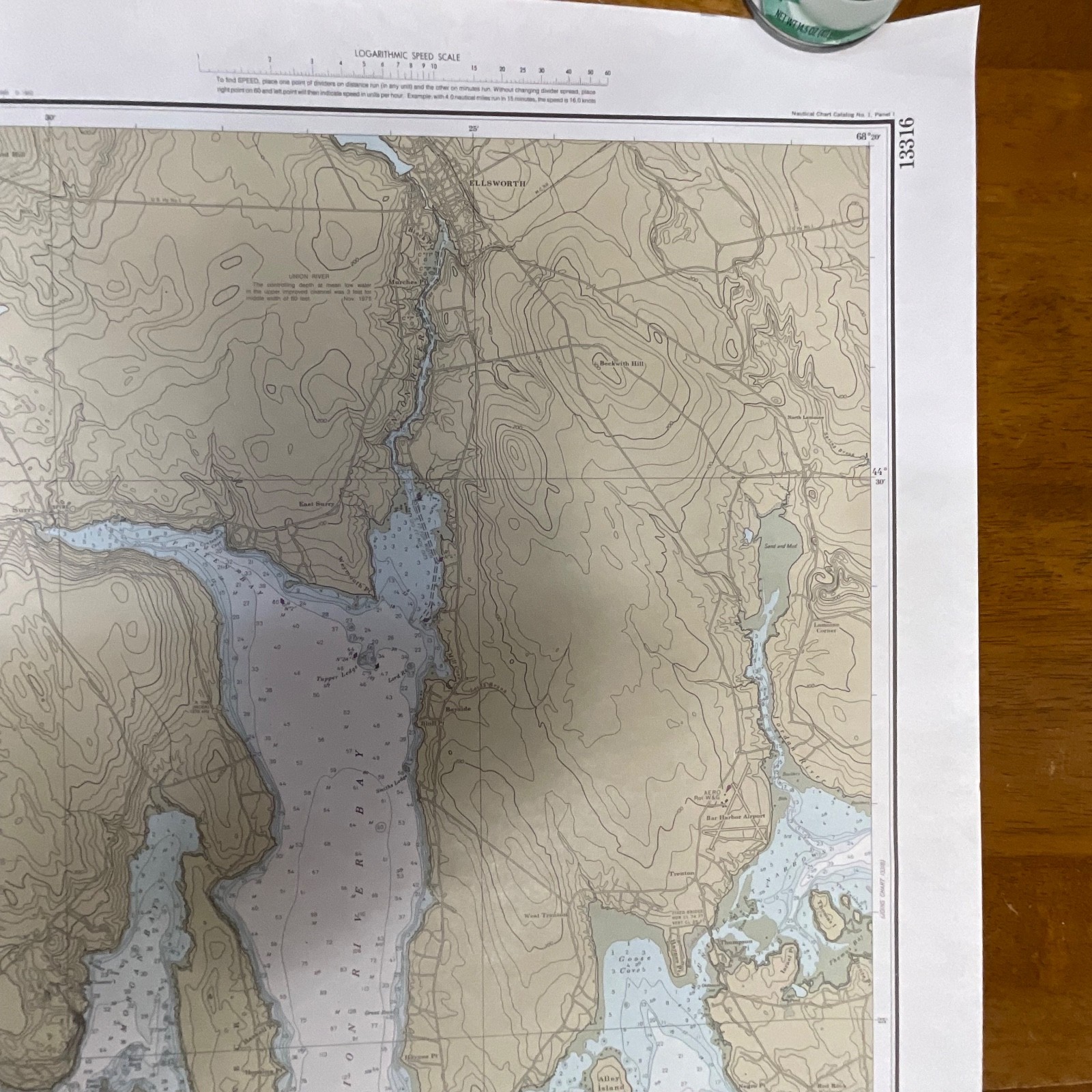
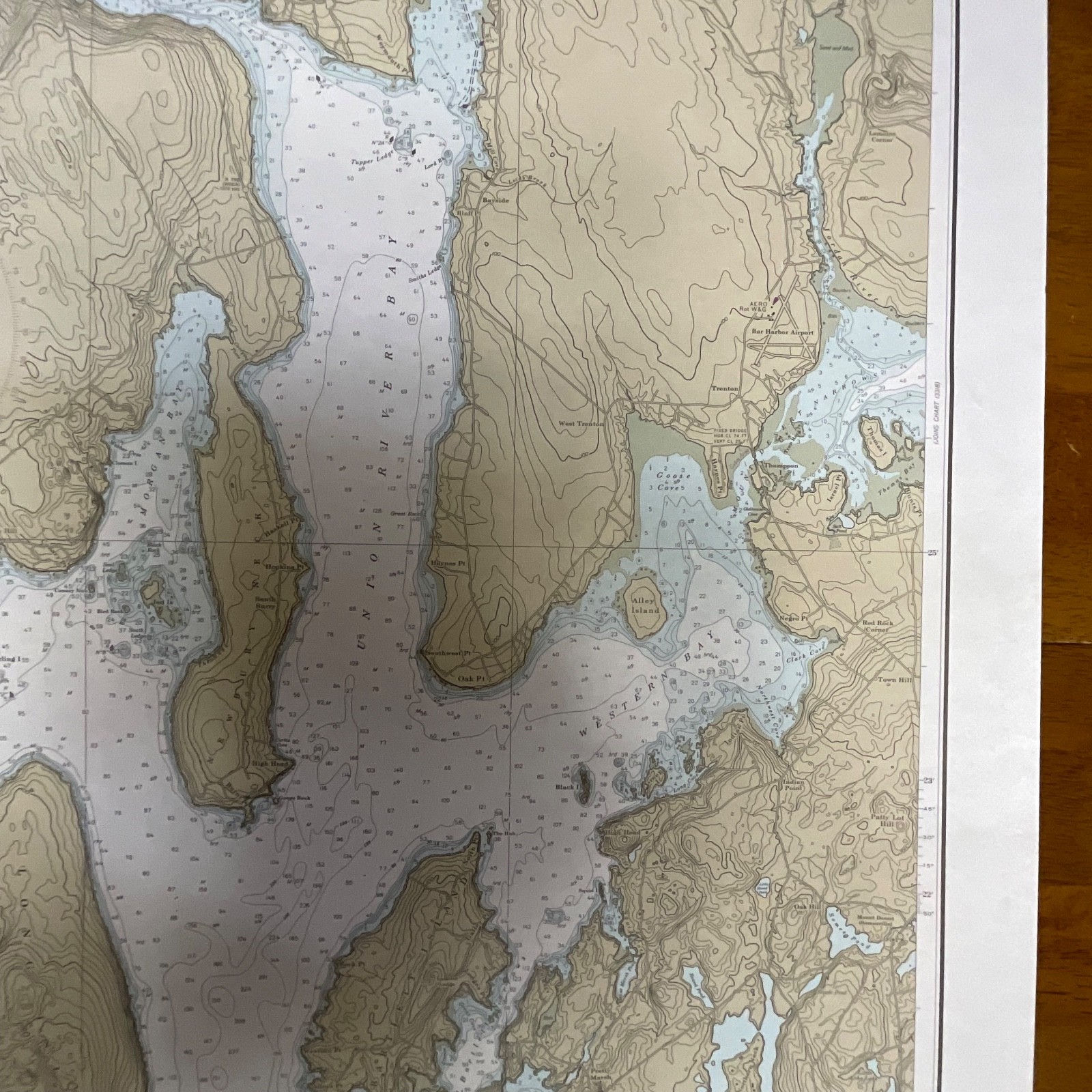
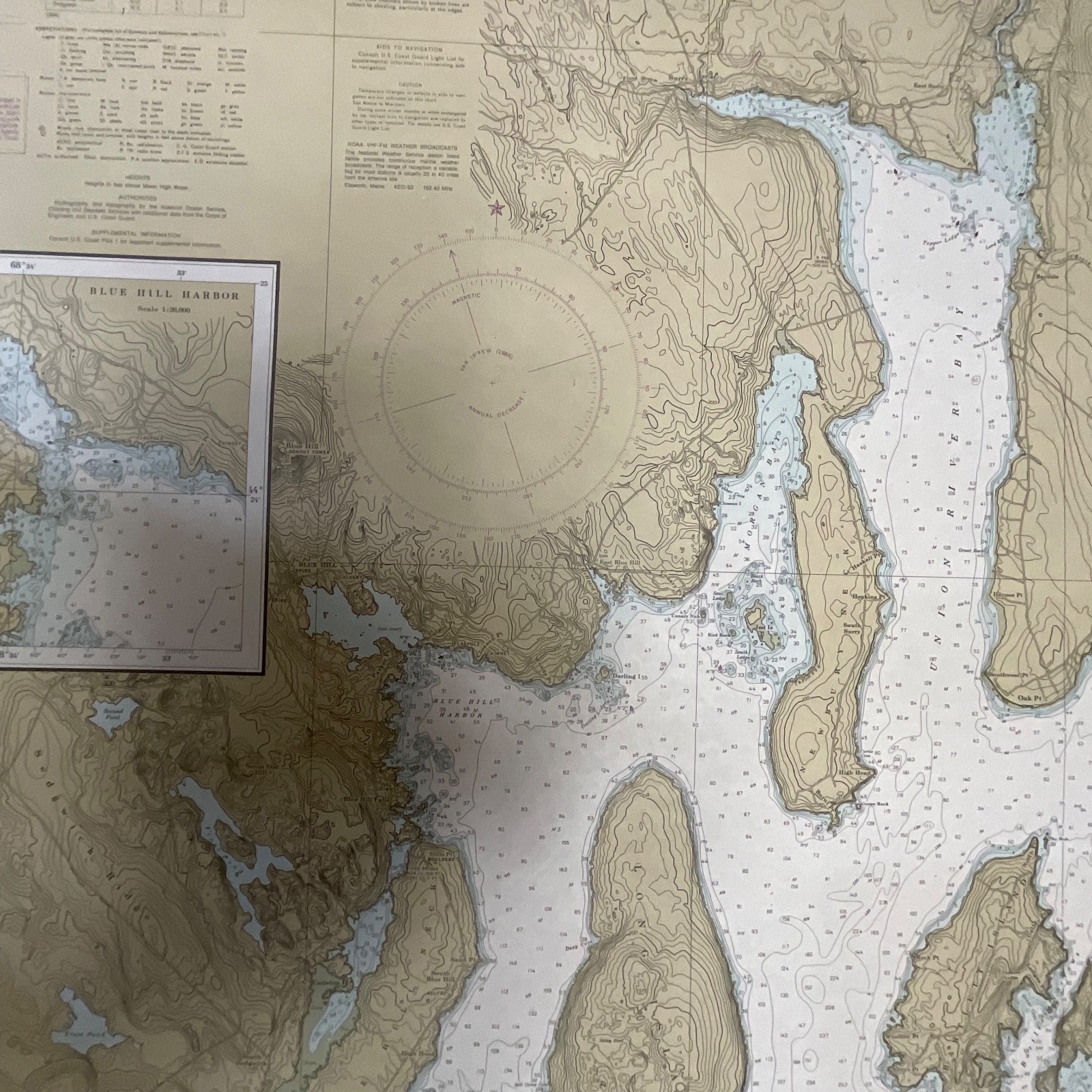
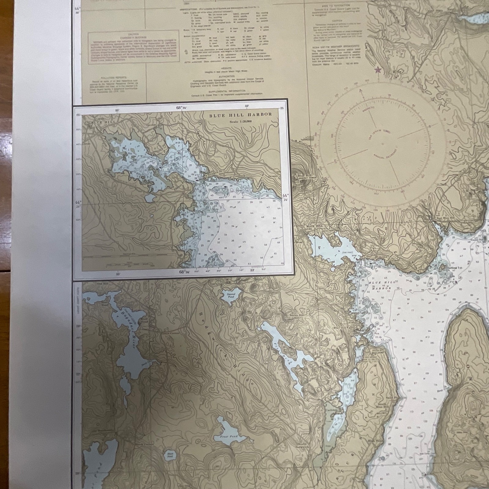
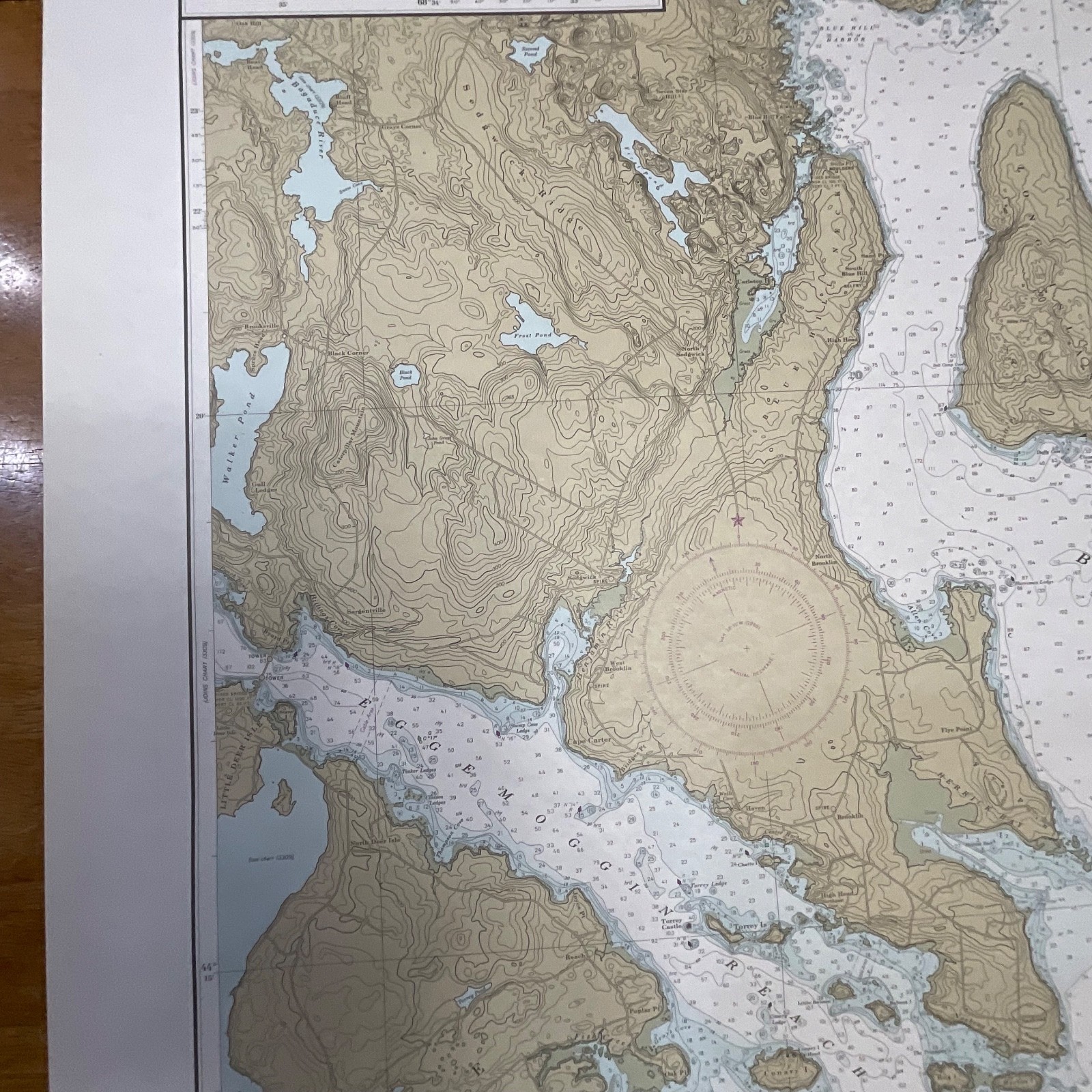
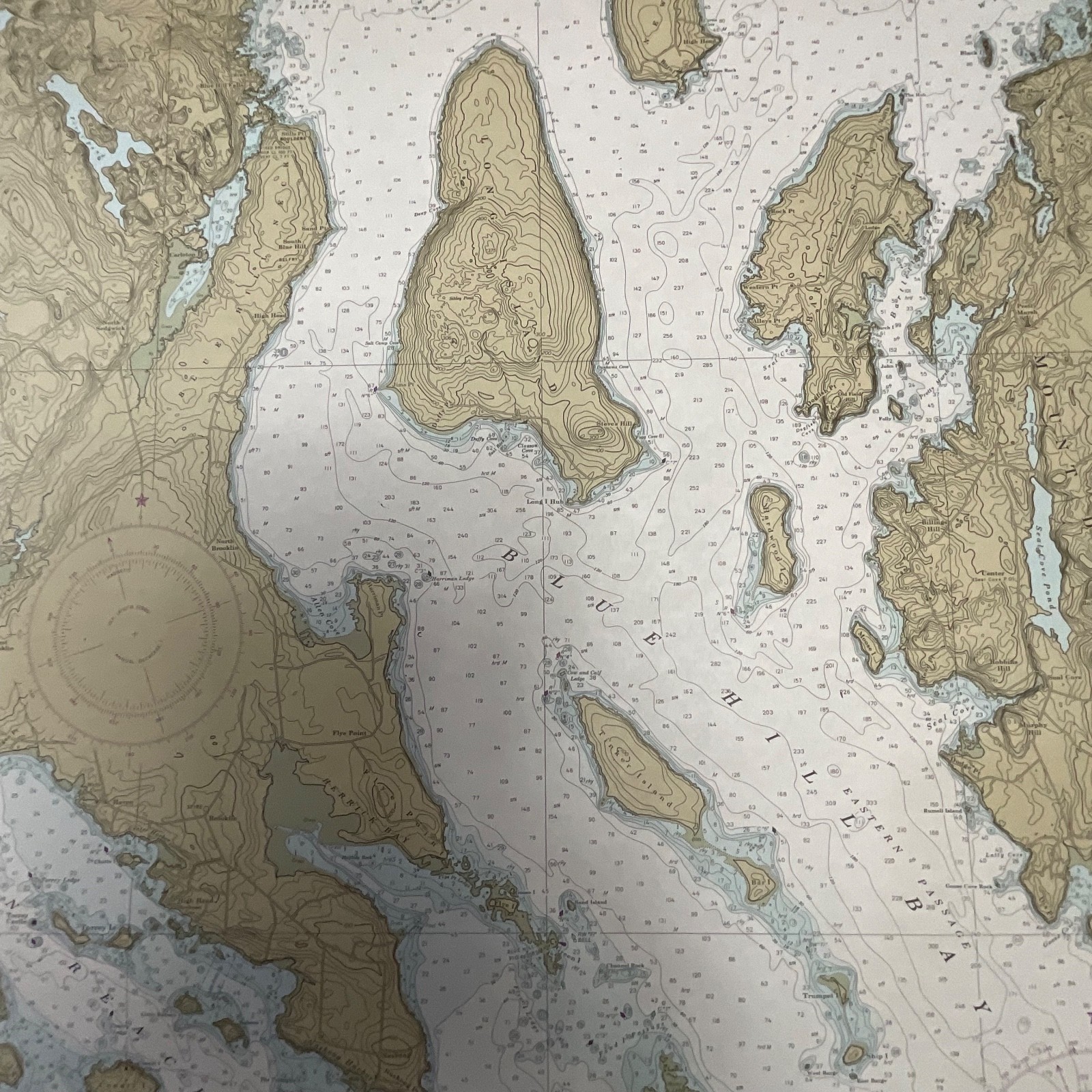
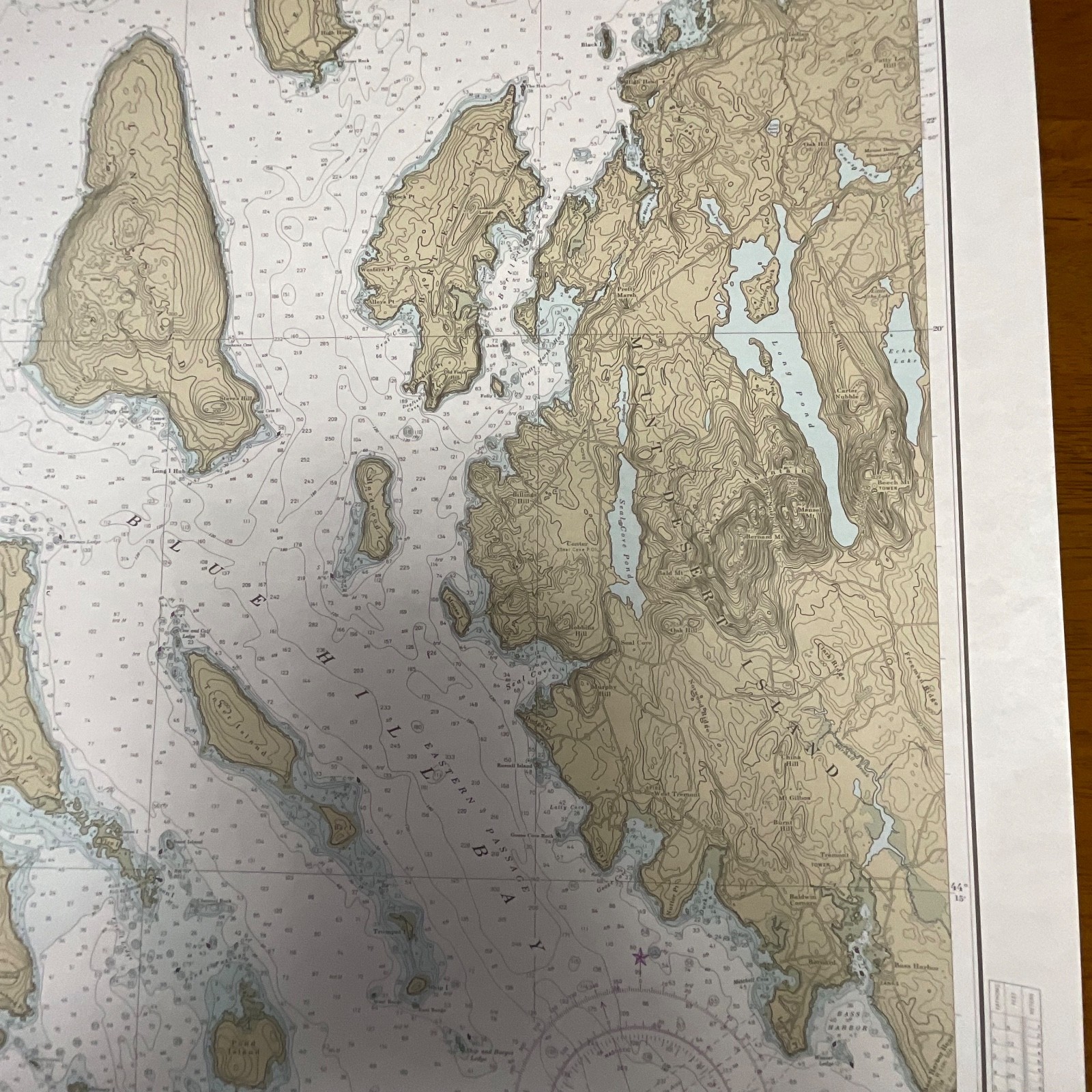
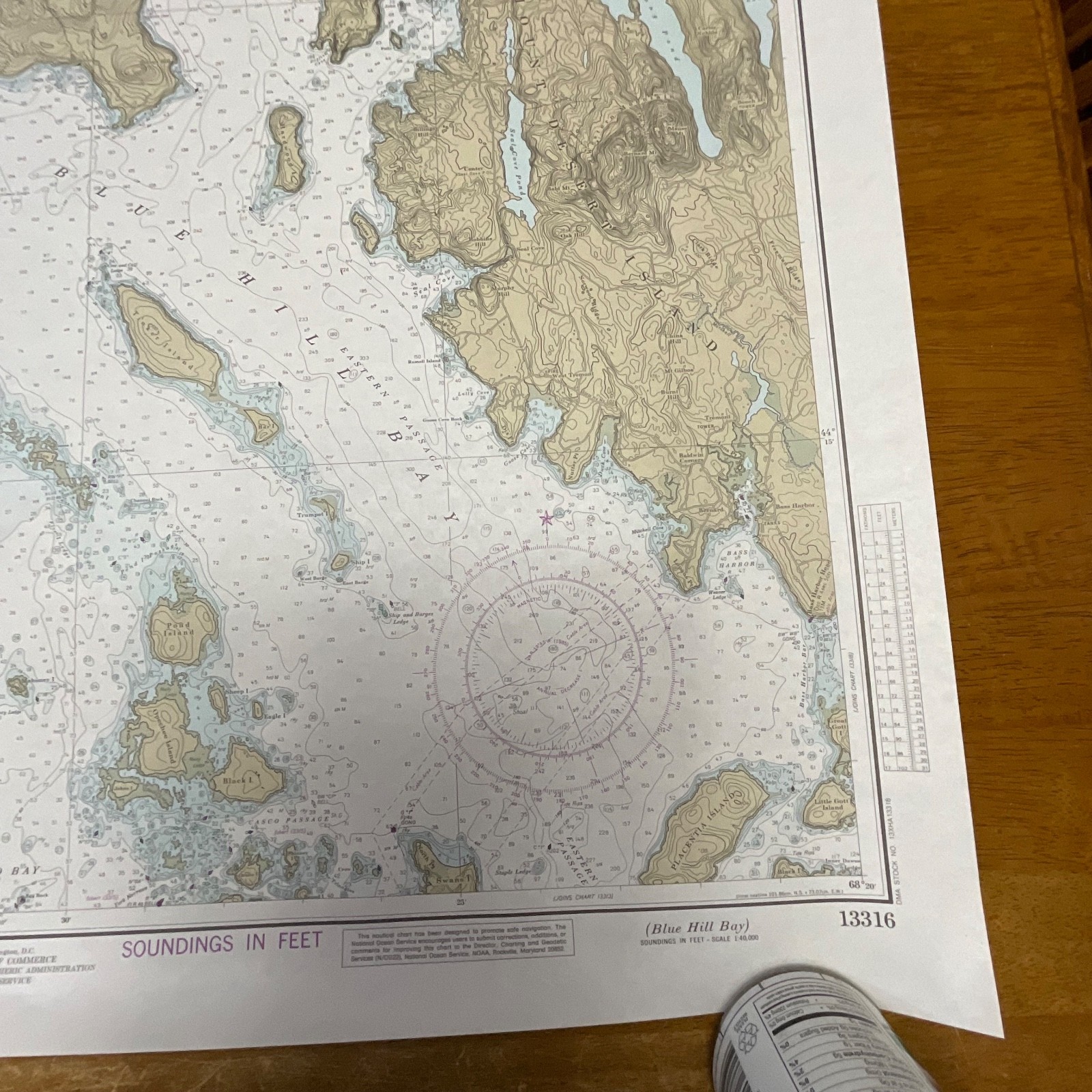
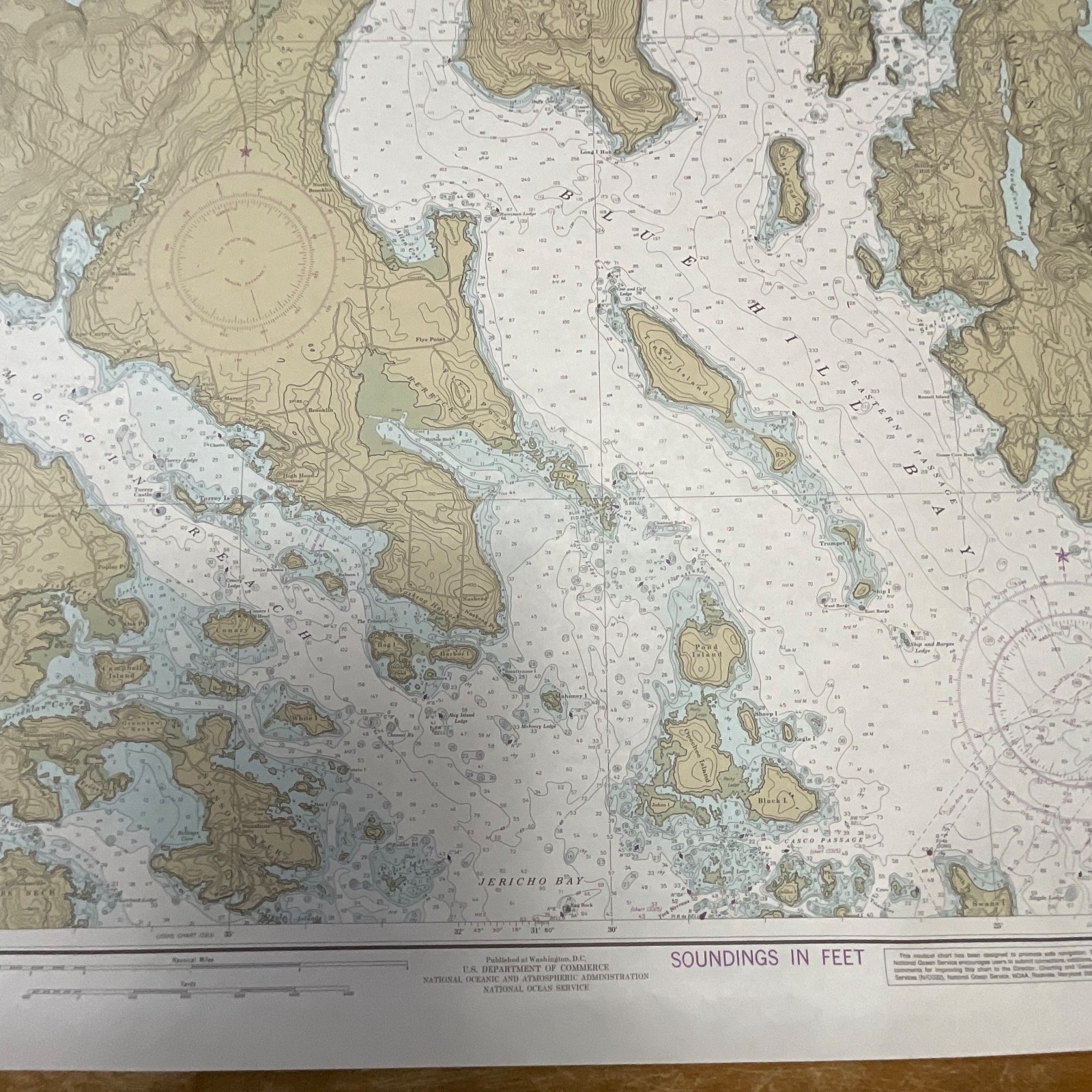
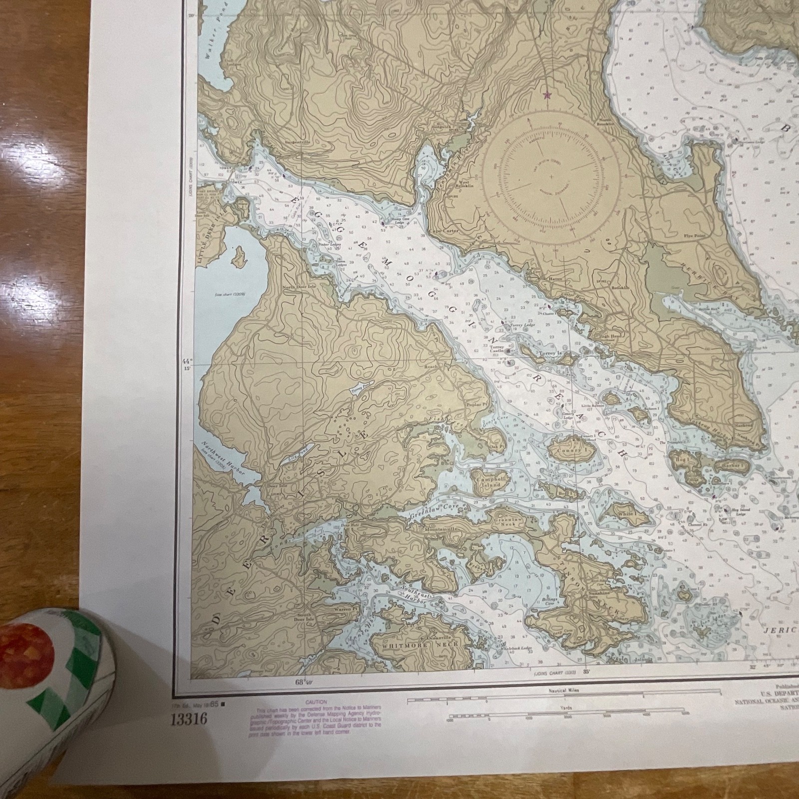
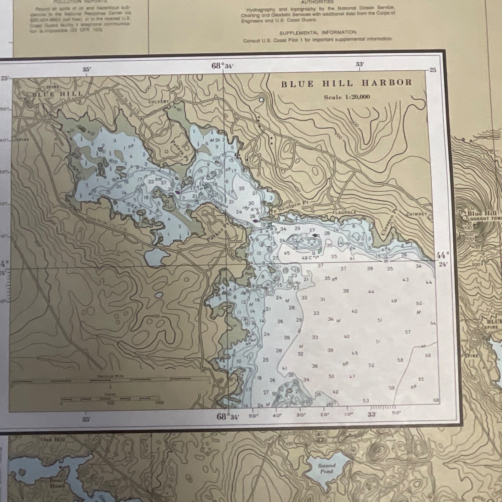
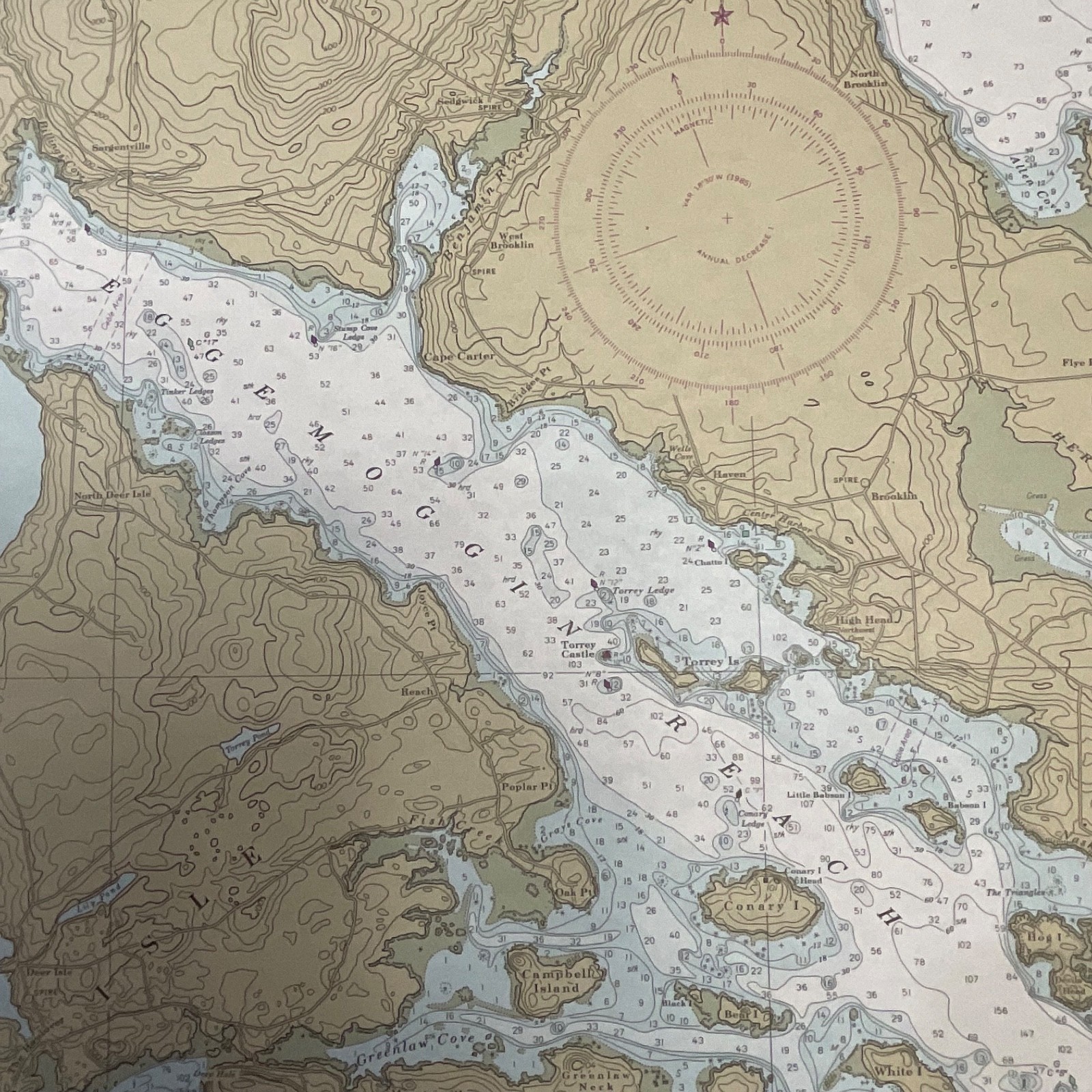
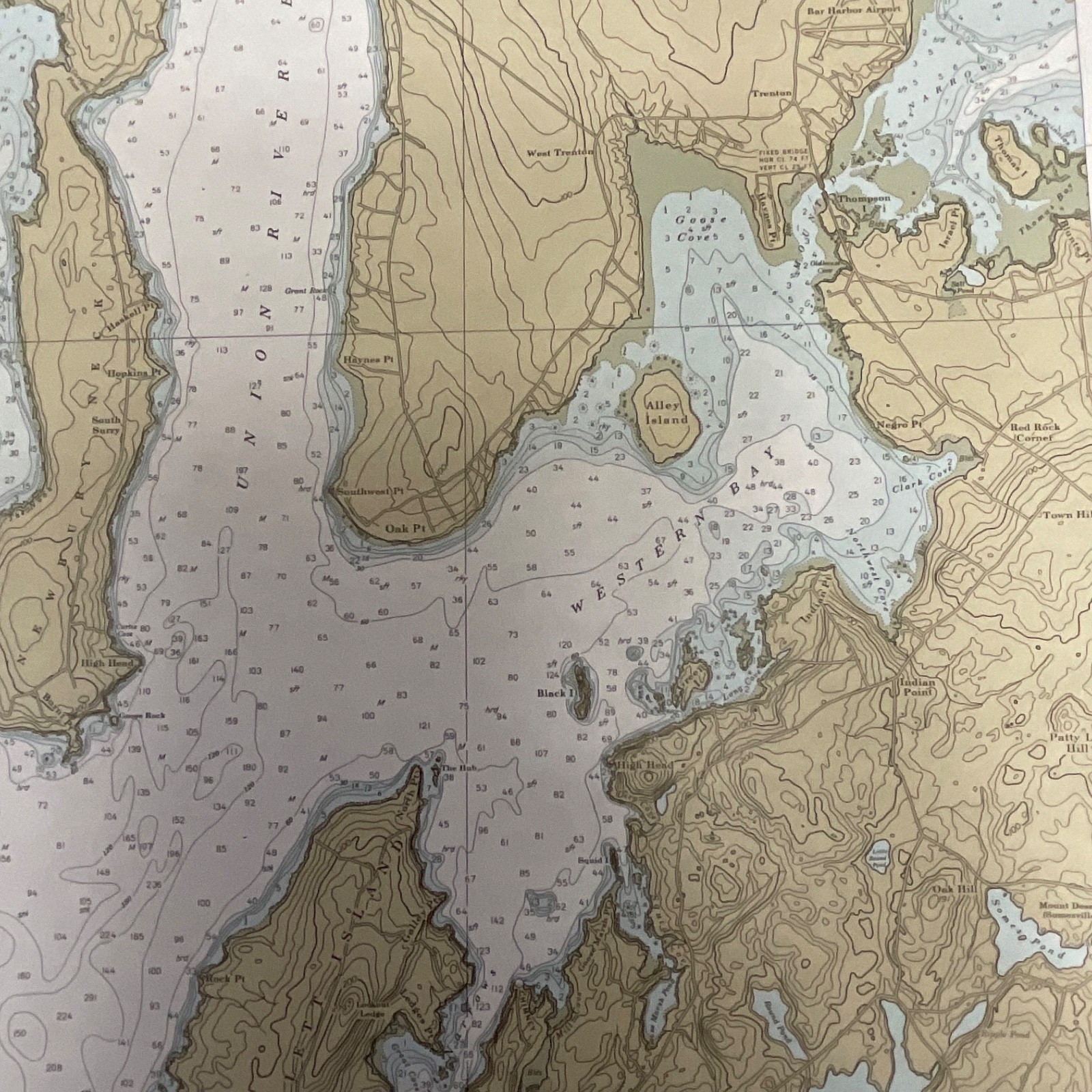
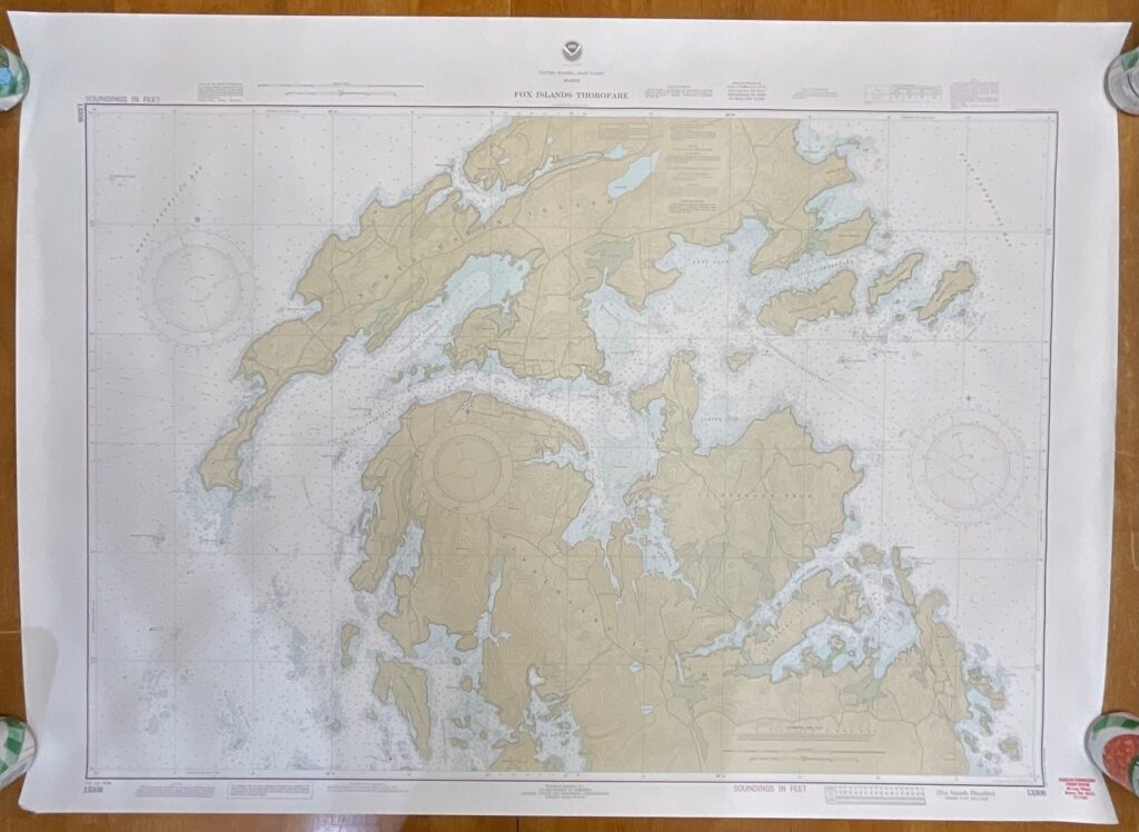
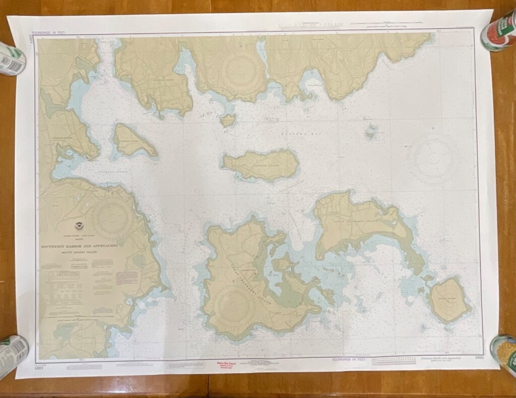
This is an original 1985 NOAA nautical chart of Blue Hill Bay, Maine, offering detailed hydrographic and topographic information of the region. The chart features classic NOAA coloration, coastal contours, depth soundings in feet, and inset mapping for Blue Hill Harbor.
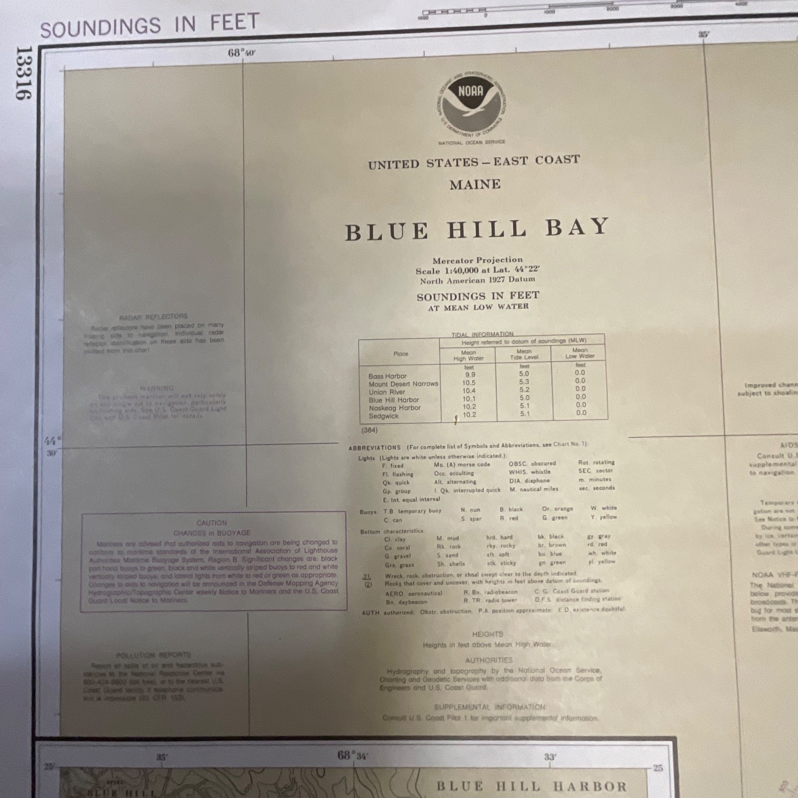
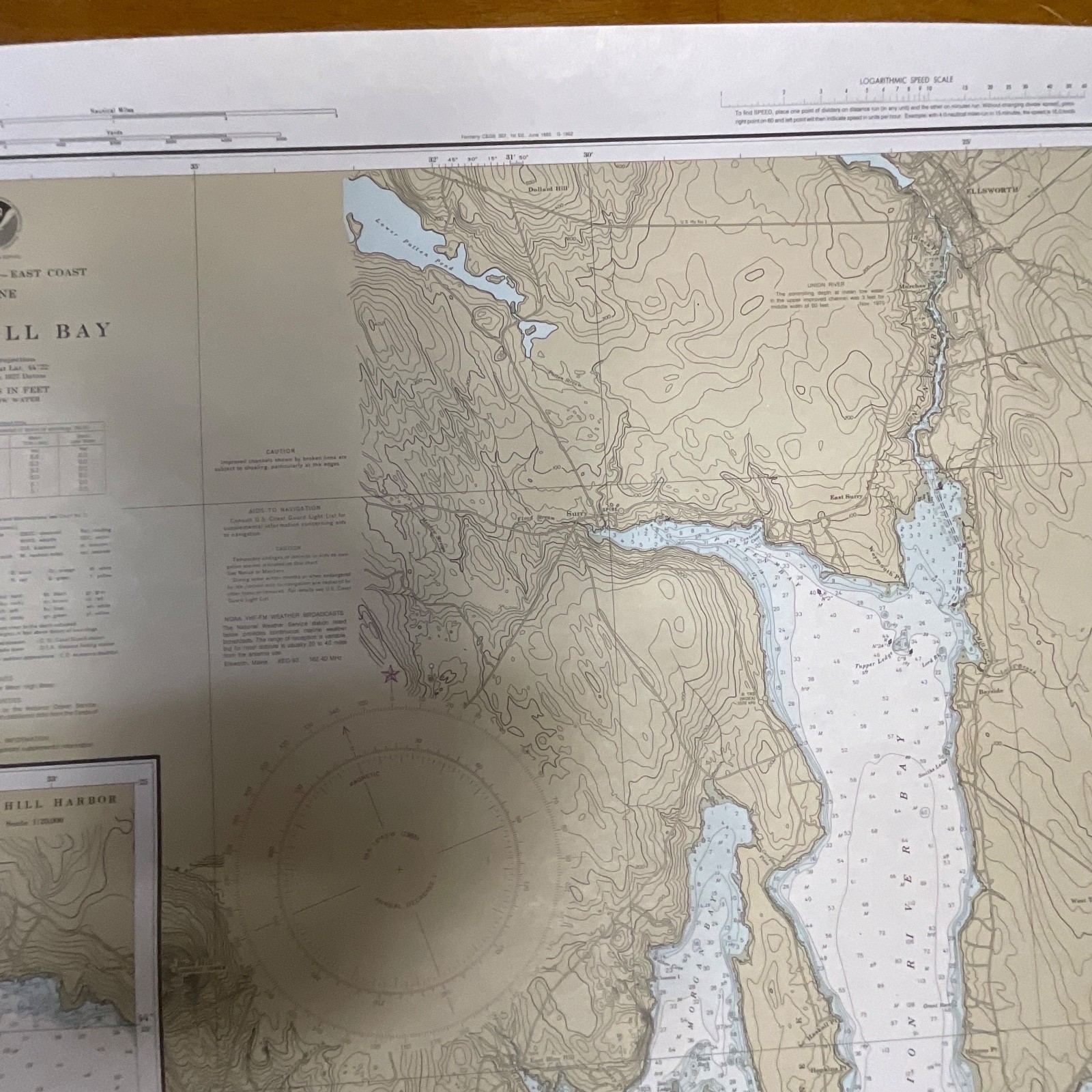
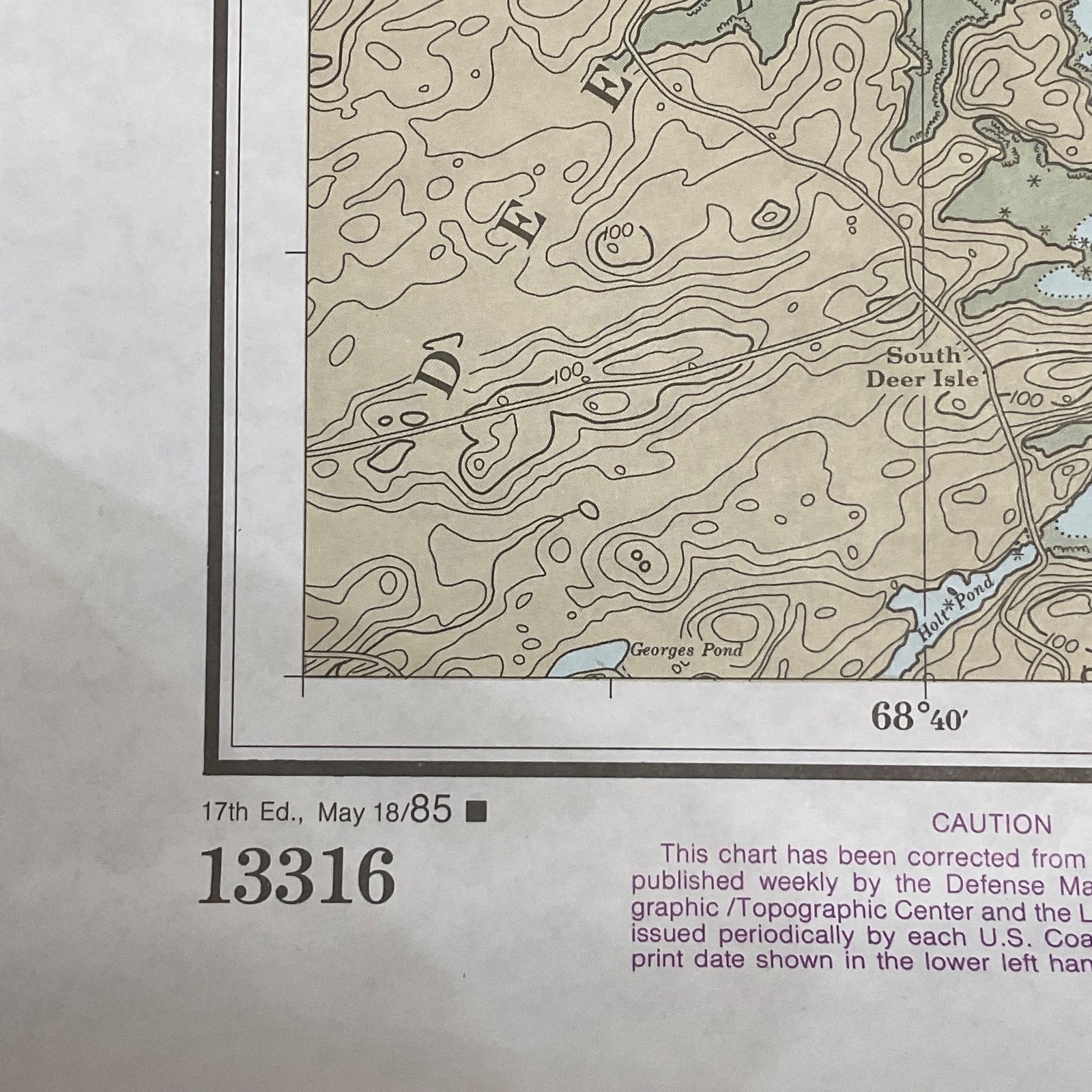
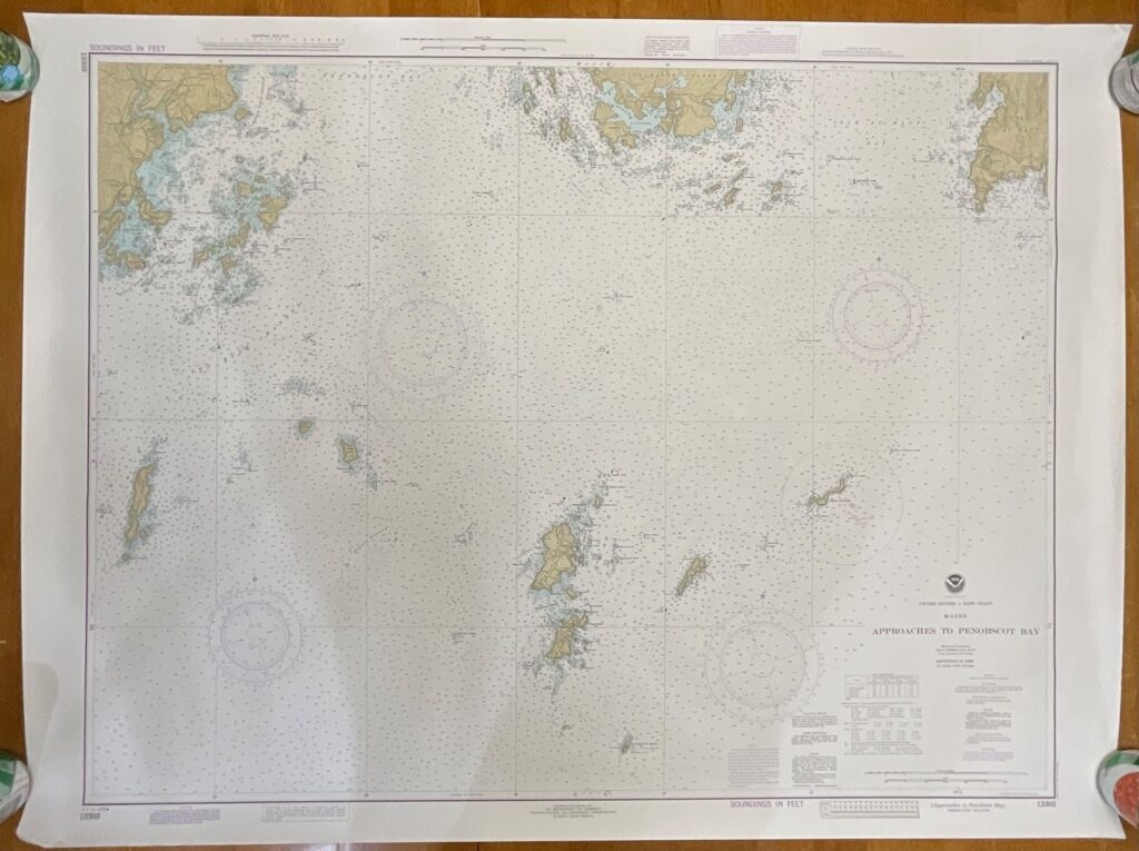
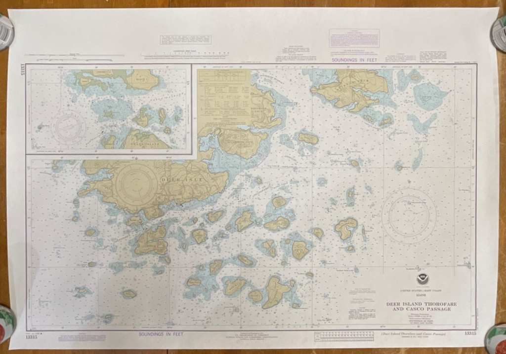
Printed on traditional chart paper, it includes the NOAA title block, scale data, depth tables, and edition marking “17th Ed., May 18/85.” Chart No. 13316 is clearly visible. The map presents coastal elevations, navigation aids, and surveyed markings typical of mid-1980s NOAA production. A small tear is visible at the top right edge, shown in the photos.
Measurements:
Approximately 44in tall × 33in wide.
Shipping:
Ships securely with protective packaging; prompt shipping excluding Federal Holidays.
Condition Description
Pre-owned vintage chart with light handling wear and a small tear on the top right edge. Overall clean and well-preserved for its age. Please review all photos for exact condition before purchase.
Item Specifics
Category: Collectibles → Transportation → Maps & Atlases → Nautical Charts
Type: Nautical Chart
Style: Coastal Navigation / Topographic Hydrographic Chart
Material: Paper
Color: Multicolor (tan, blue, white)
Size: 44in × 33in
Era: 1980s (17th Edition, May 18, 1985)
Brand/Publisher: NOAA (National Oceanic and Atmospheric Administration)
Region: Blue Hill Bay, Maine, USA
Chart Number: 13316
UPC: Not present/none visible
Country/Region of Manufacture: United States
Occasion: Navigation, Decor, Coastal Reference
Gender/Unisex: Unisex

Reviews
There are no reviews yet.