


Description
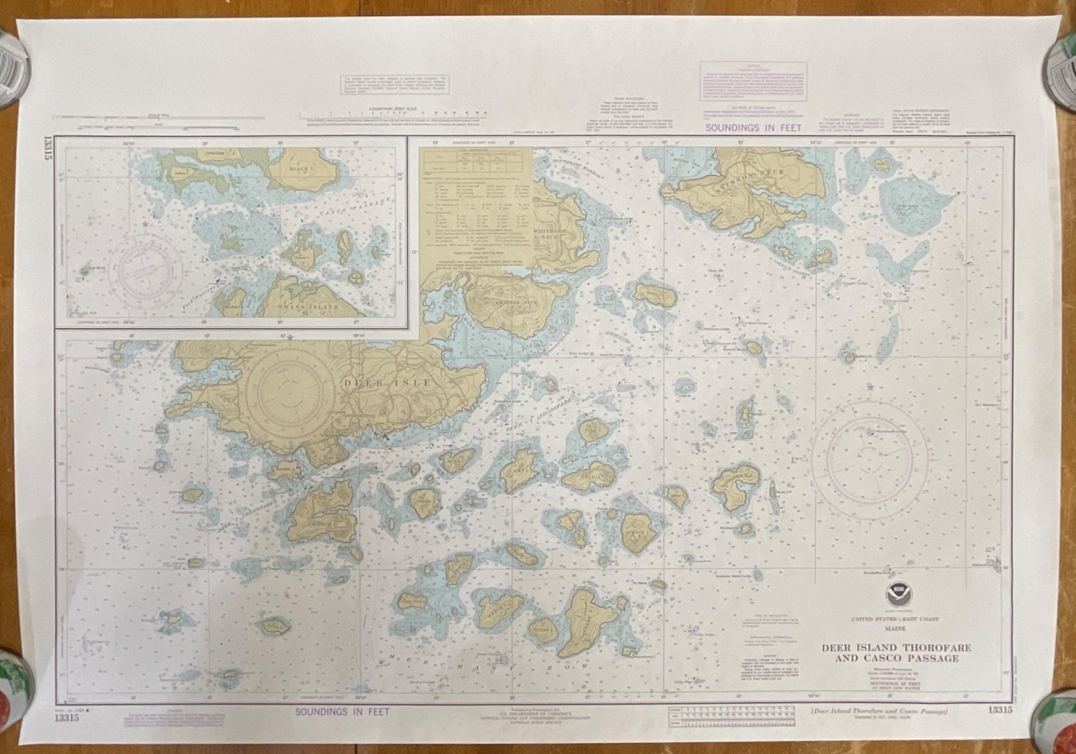
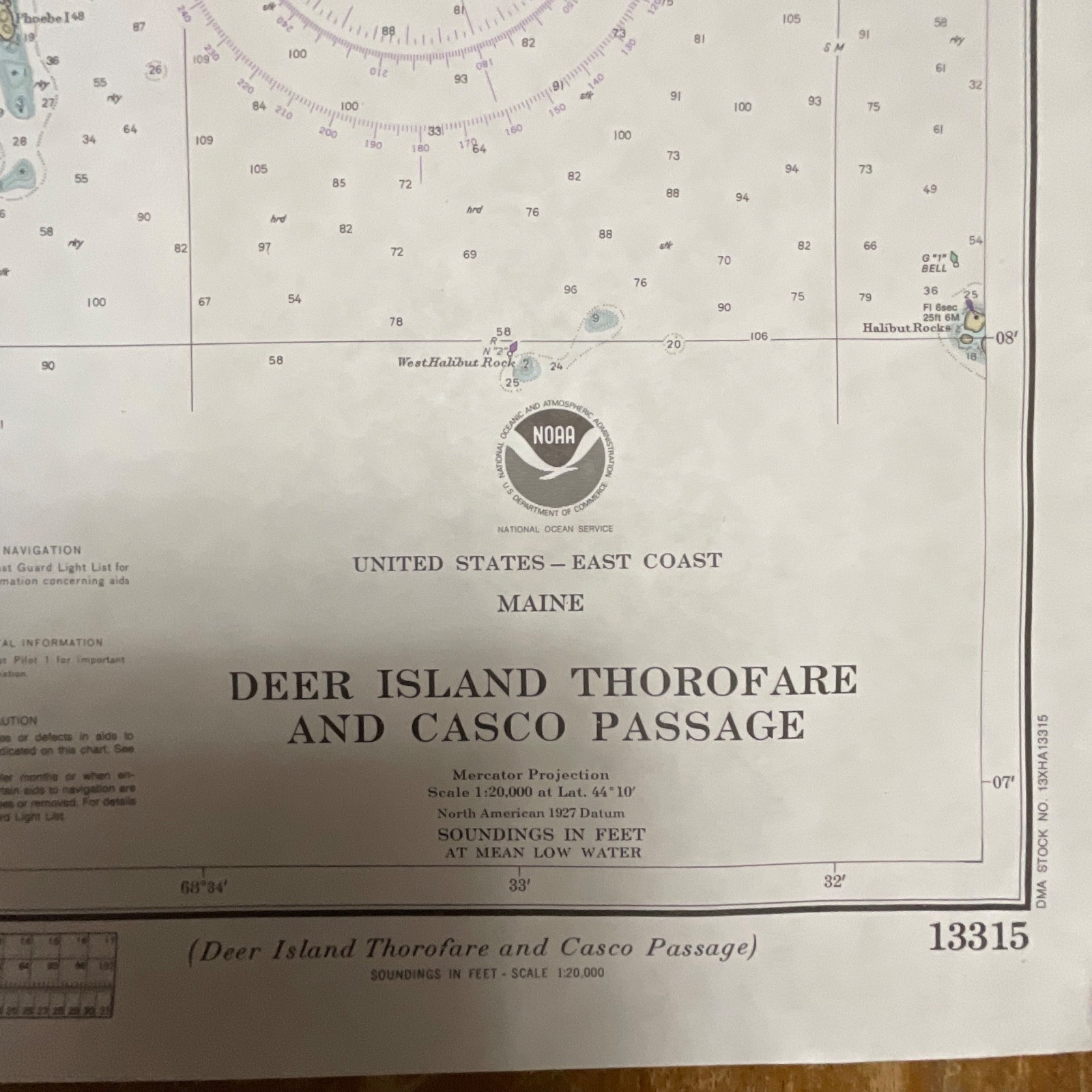
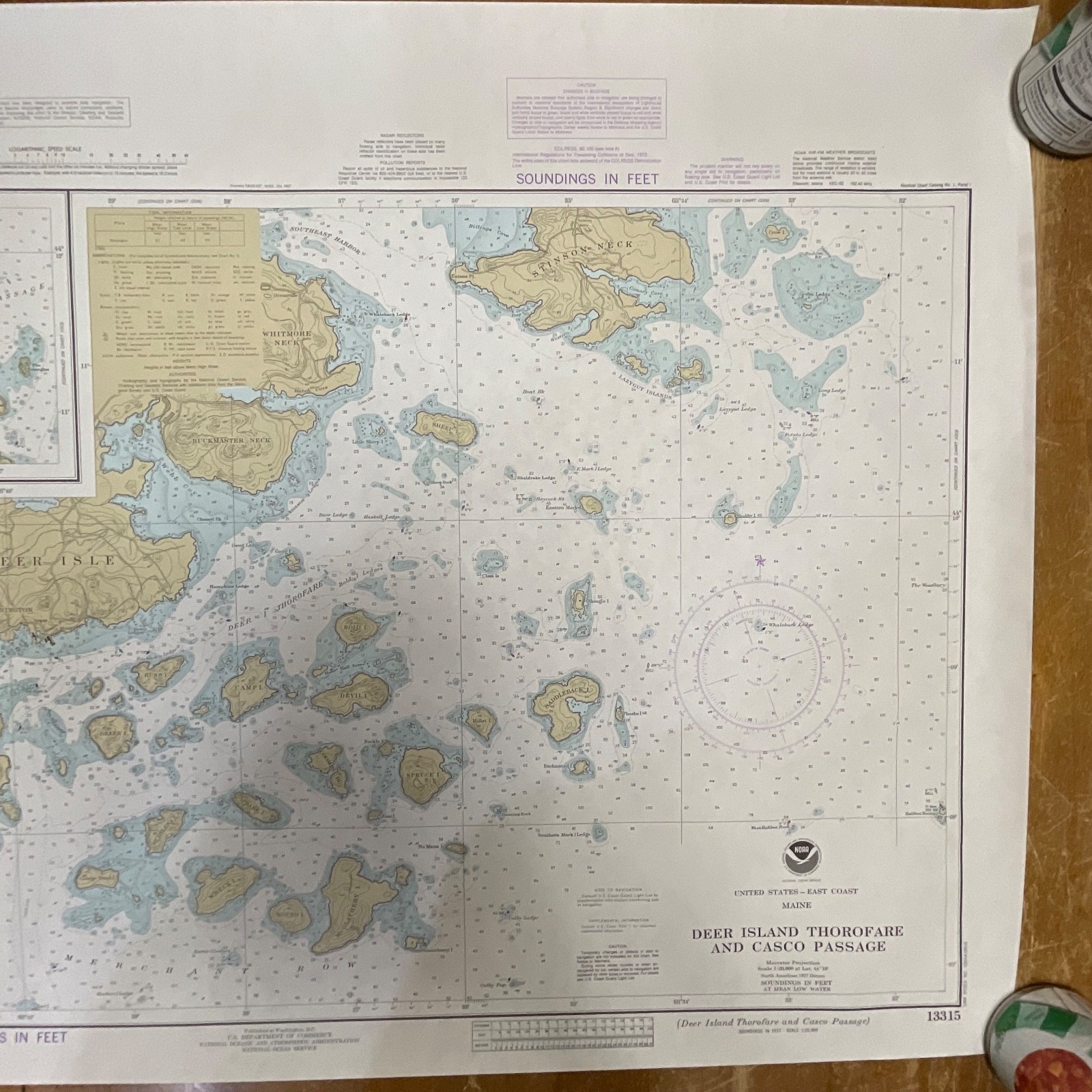
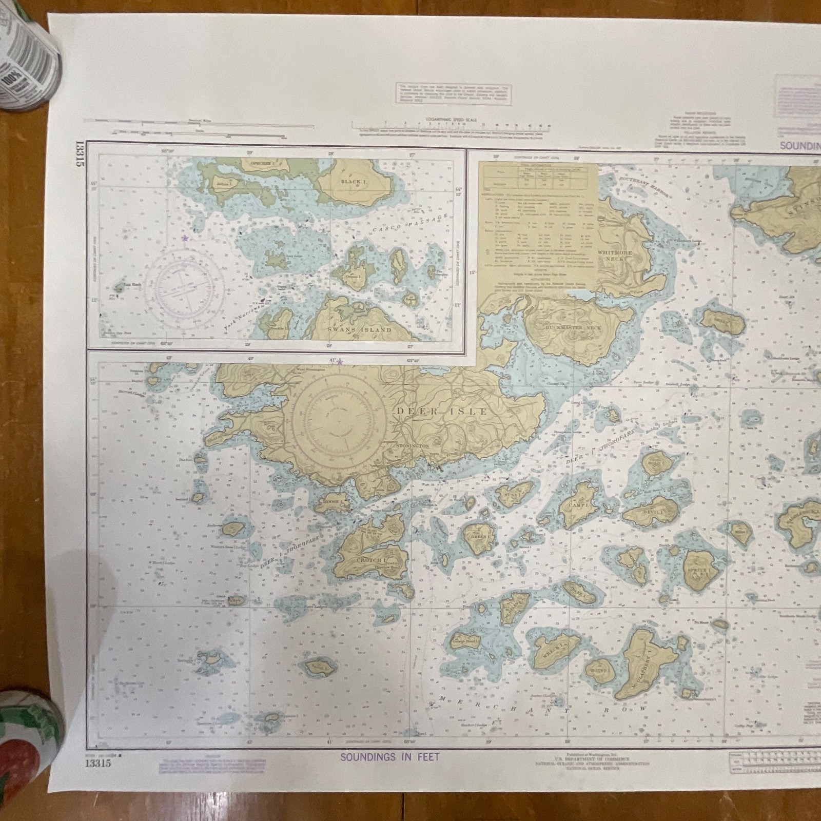
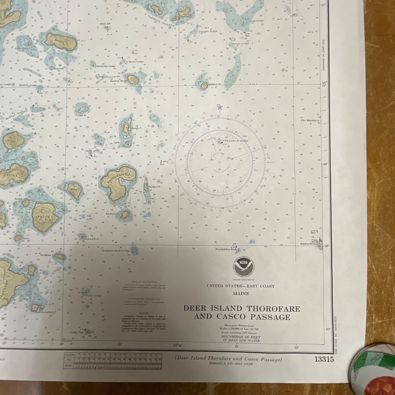
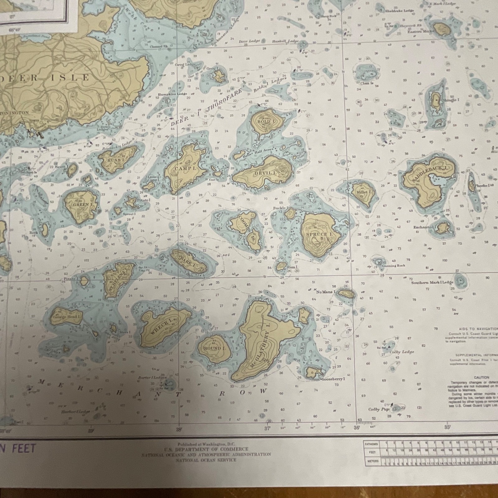
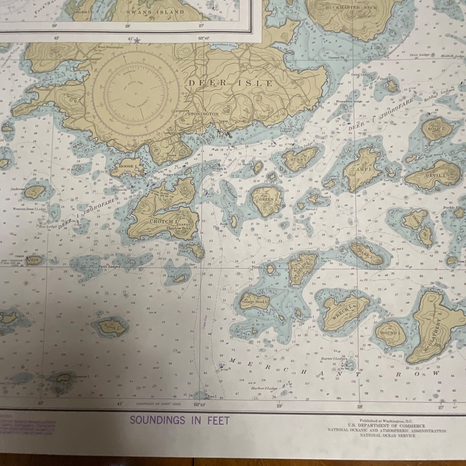
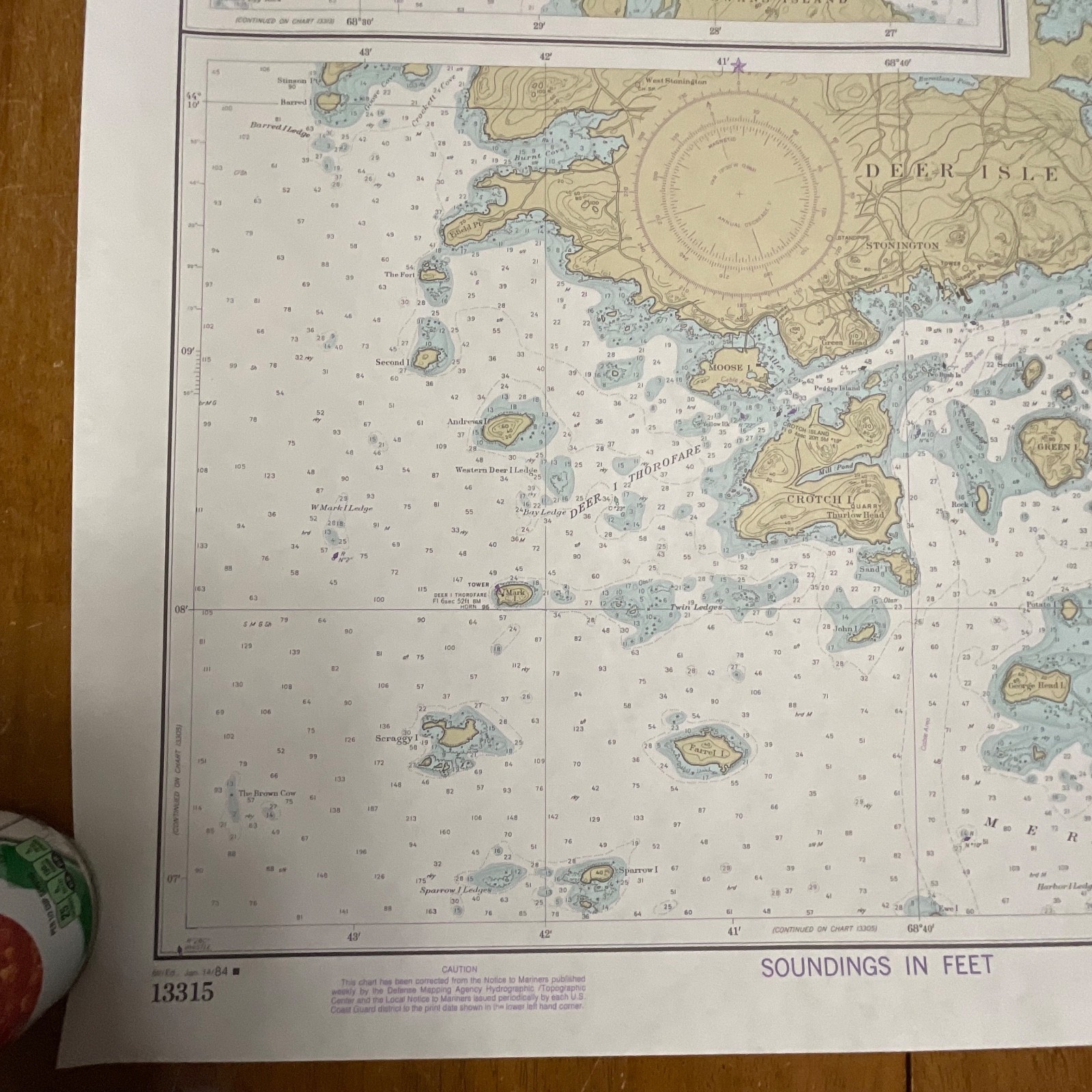
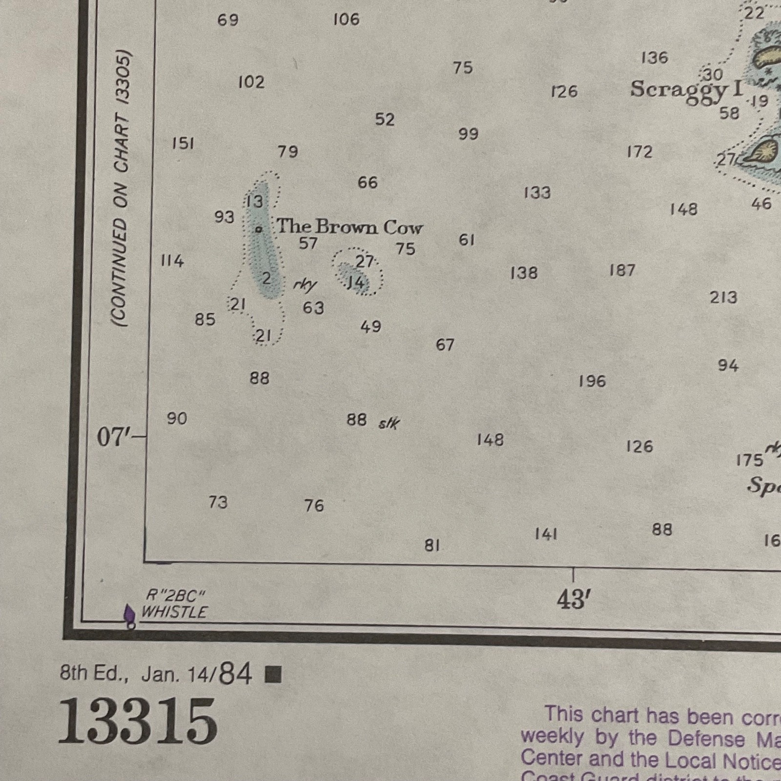
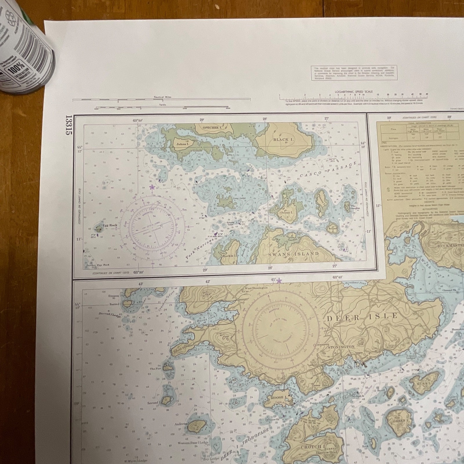
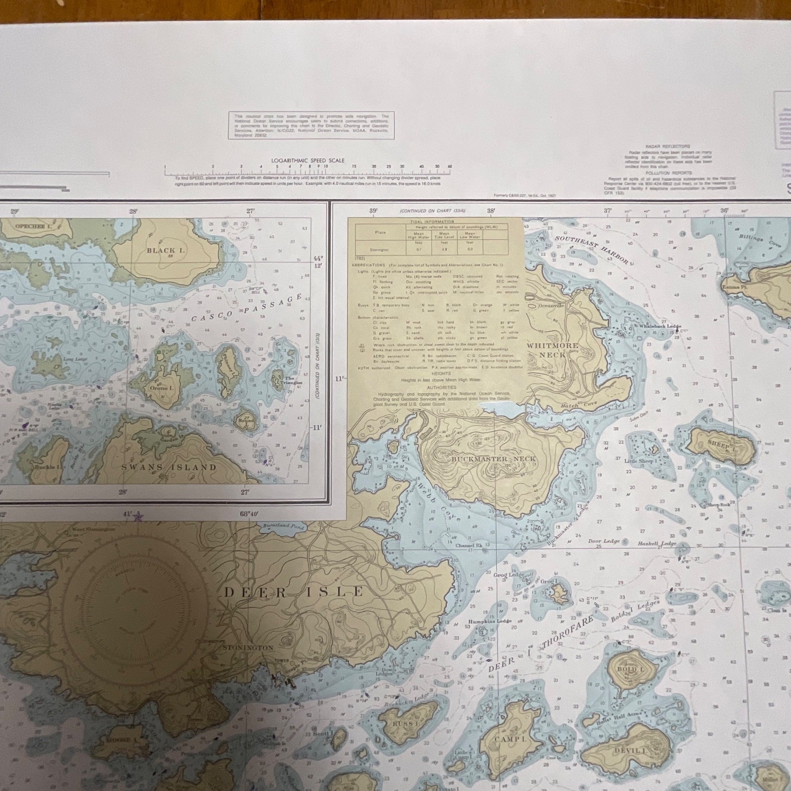
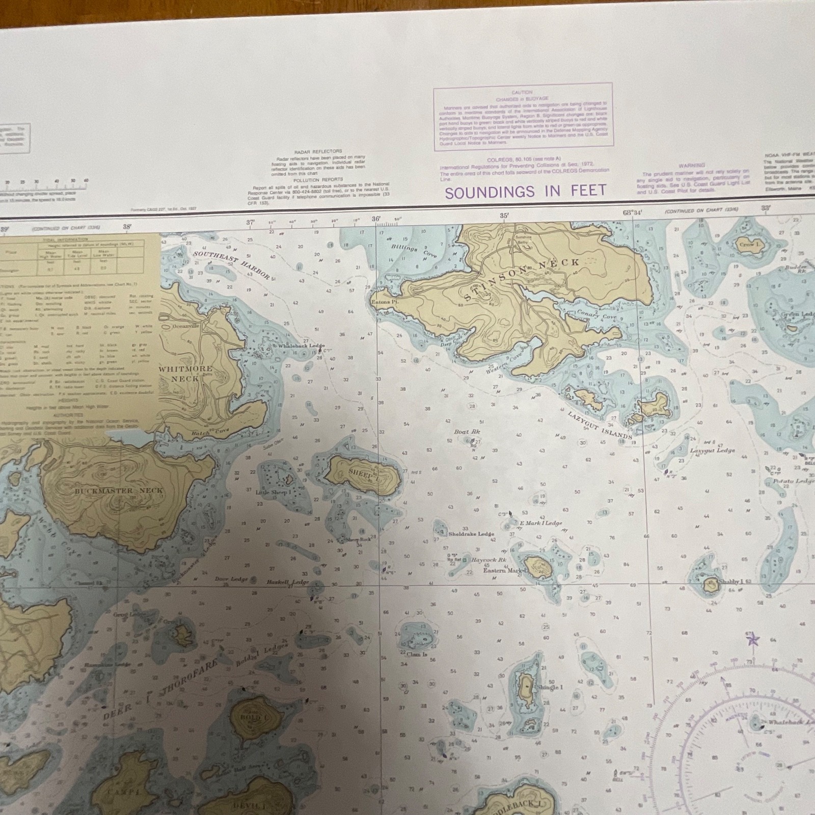
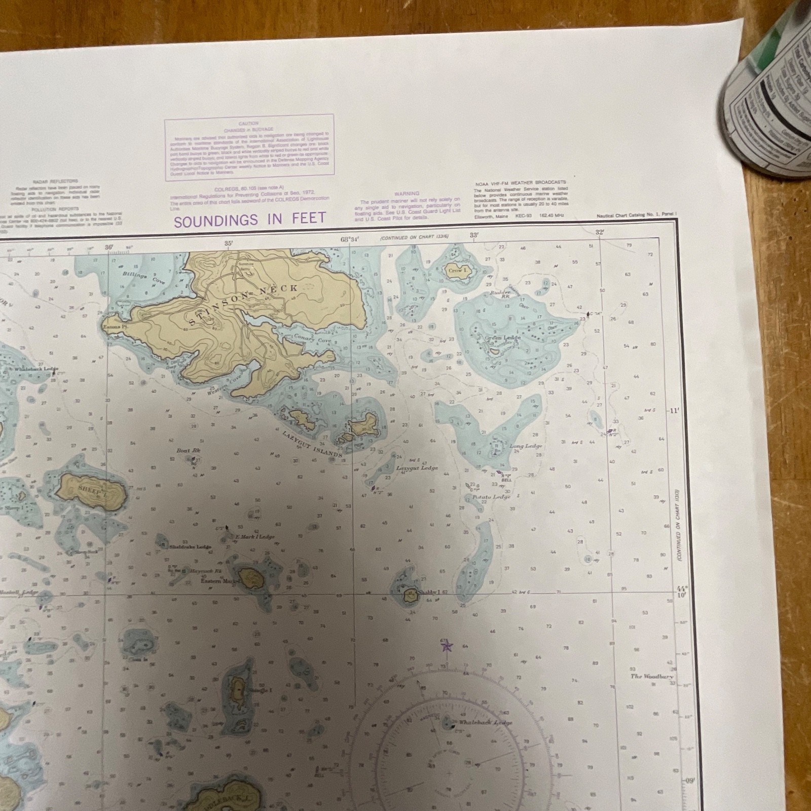
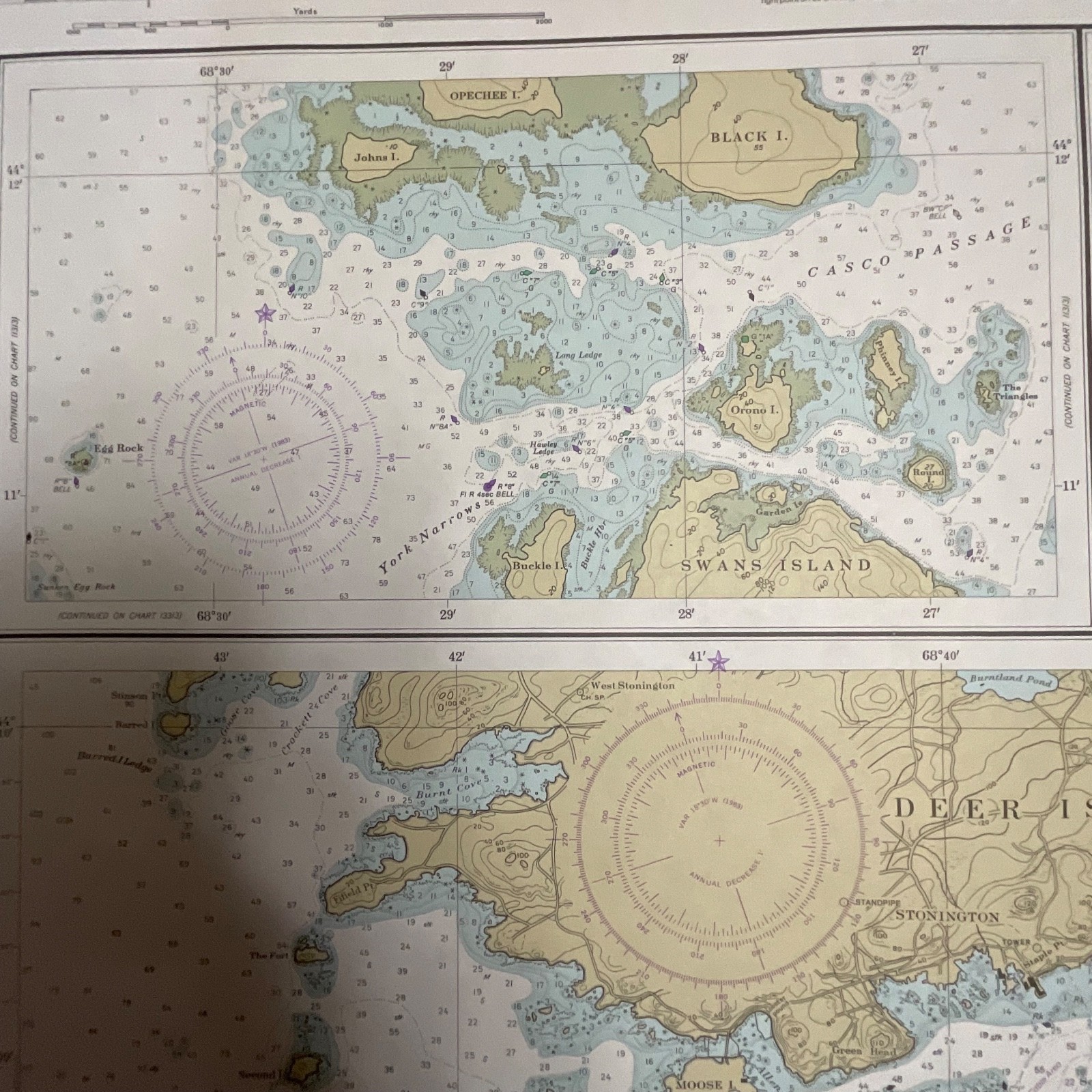
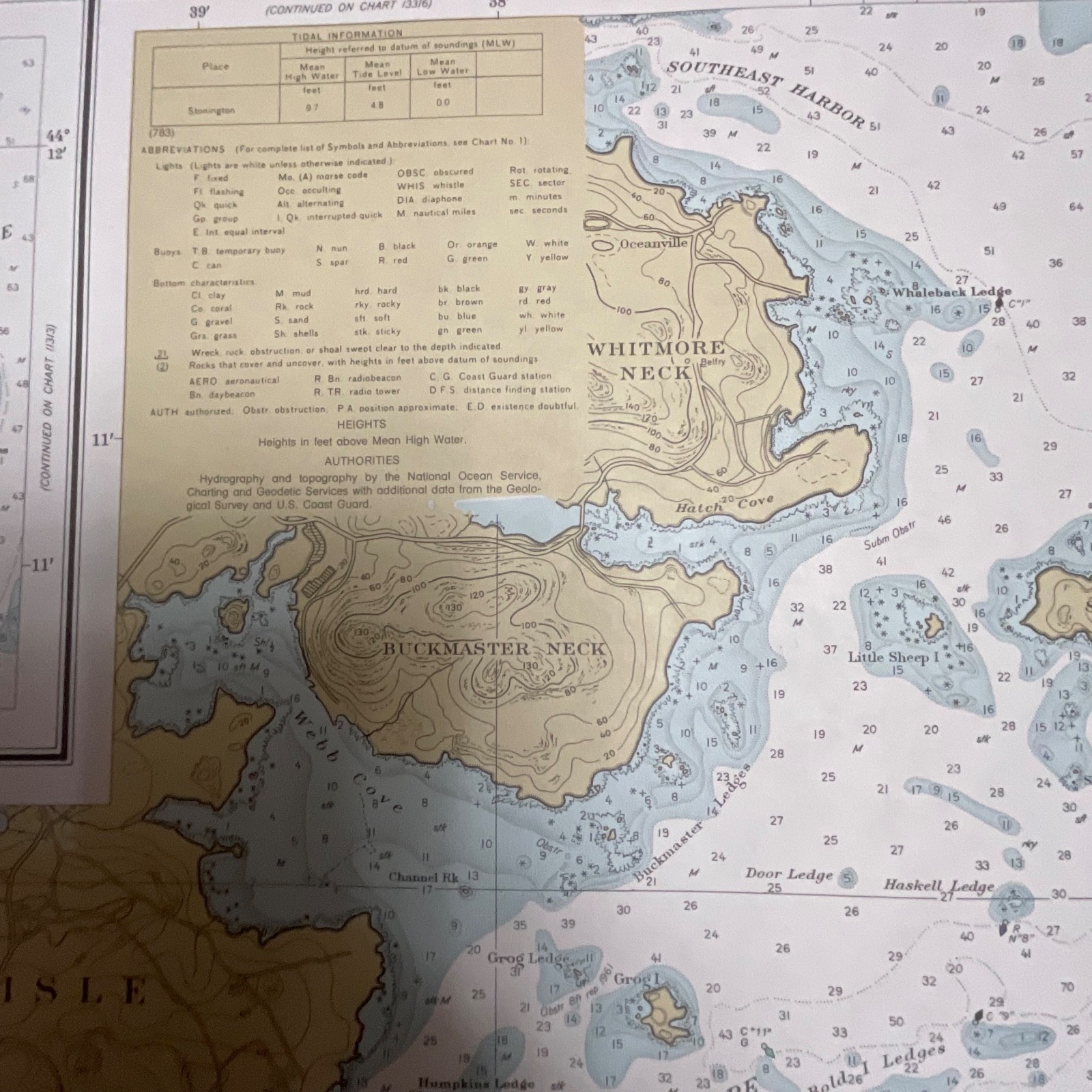
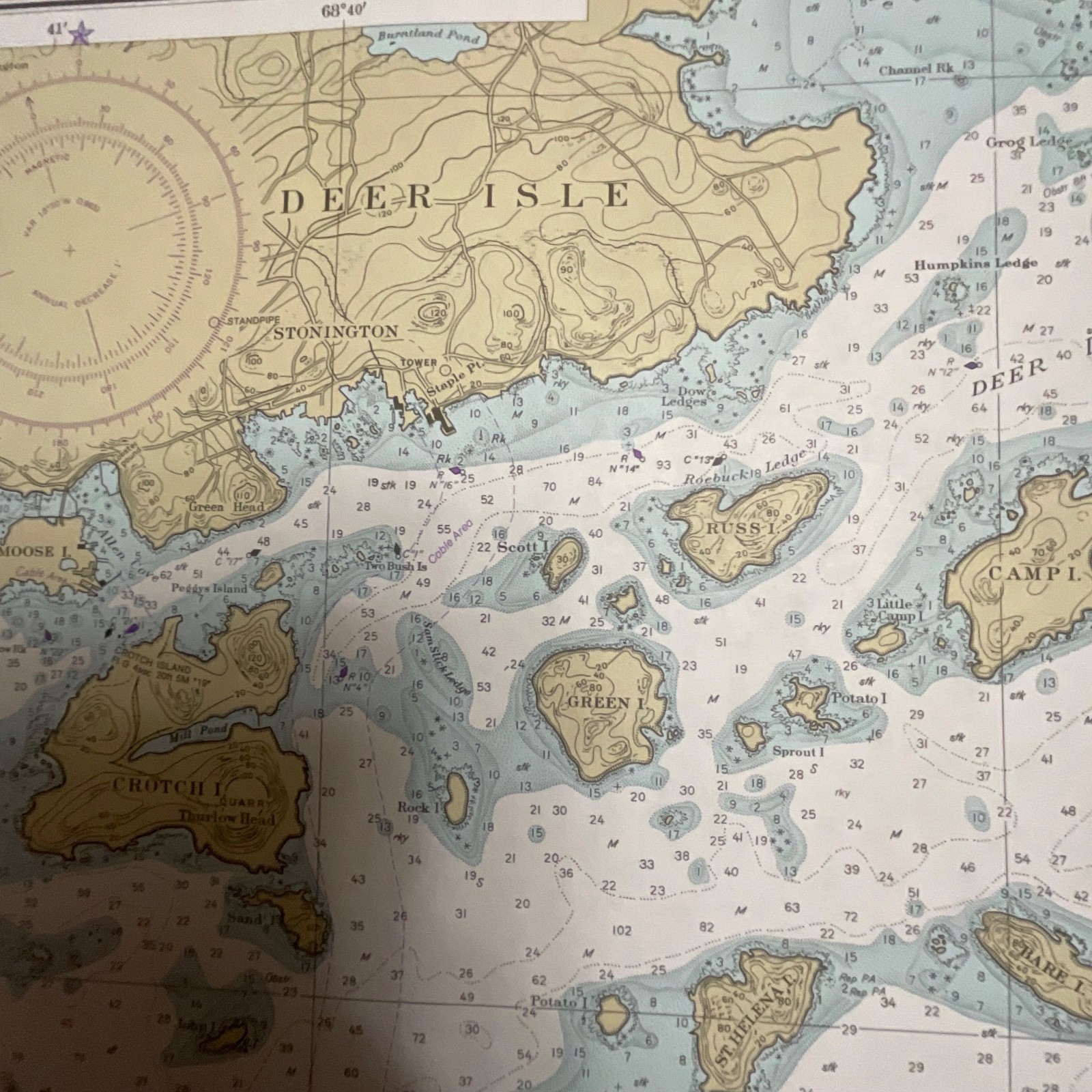
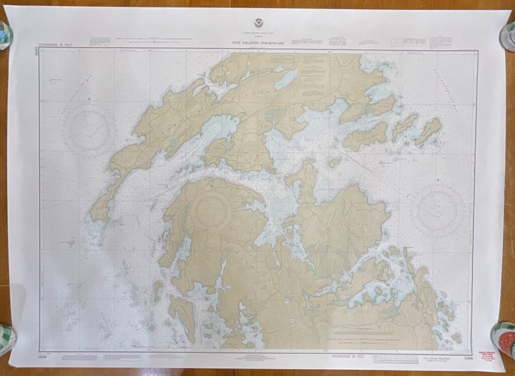
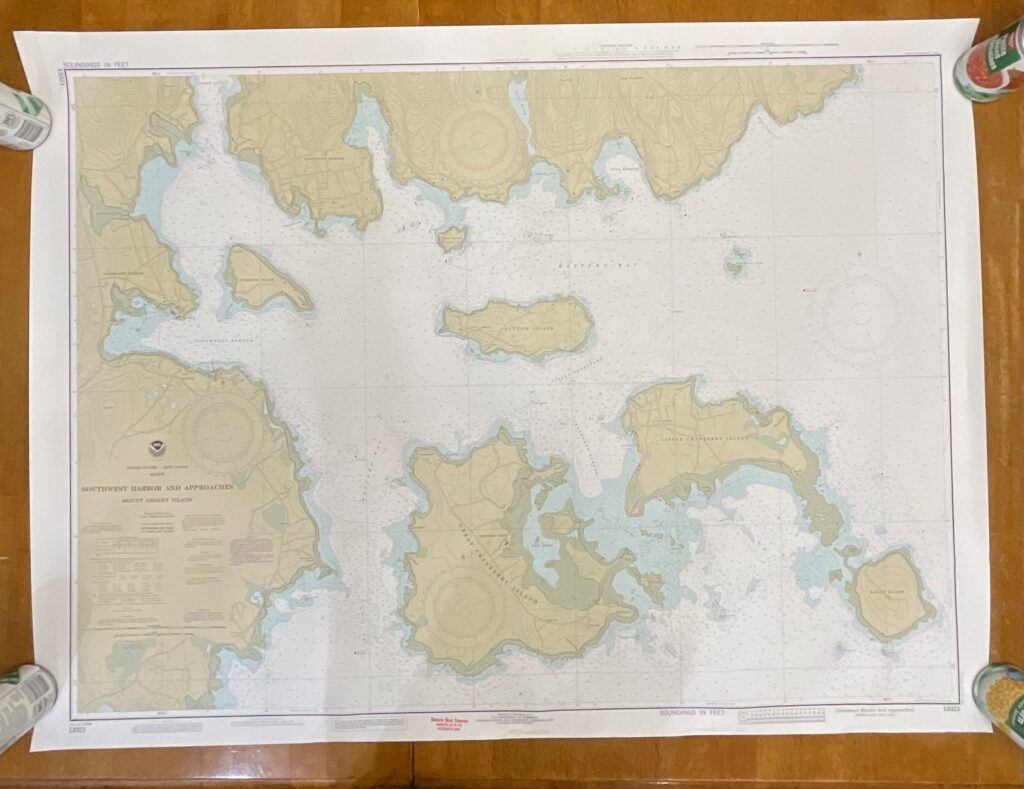
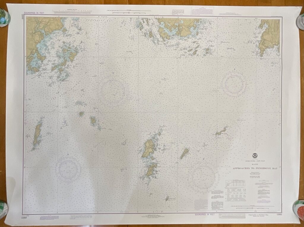
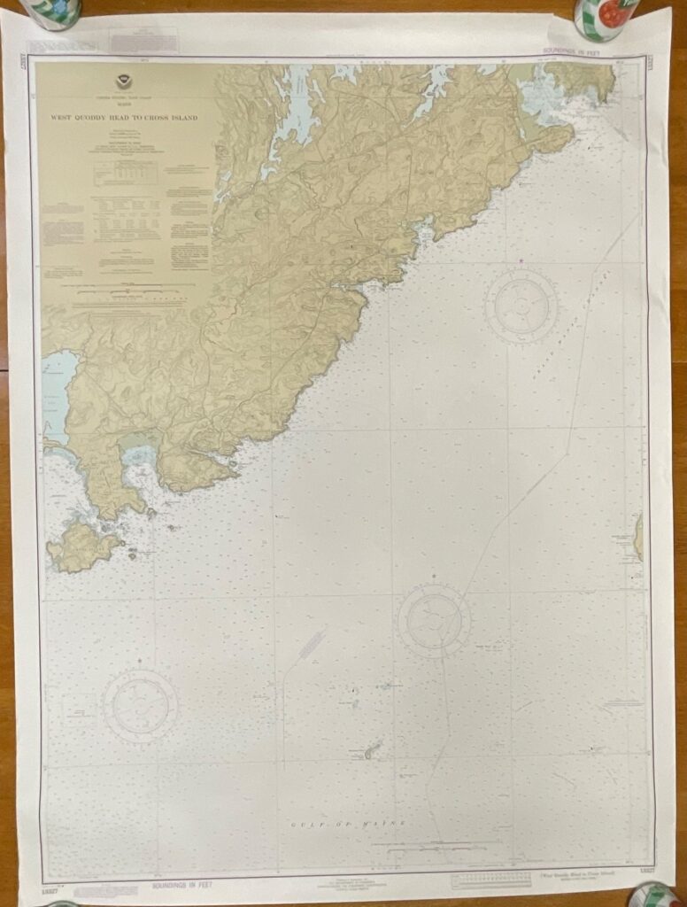
This is a vintage 1984 NOAA nautical chart covering Deer Island Thorofare and Casco Passage off the coast of Maine. It displays detailed hydrographic, shoreline, and navigational information typical of NOAA Chart 13315.
Features include the classic NOAA color scheme, soundings in feet, Mercator projection, and the 8th edition release dated Jan. 14, 1984. All printing, scale information, and map features are clearly visible, with no maker marks beyond standard NOAA chart labeling. The paper stock is the standard heavy chart paper used by NOAA during this era.
Measurements: approximately 35in wide x 25in tall.
Ships securely with protective packaging; prompt shipping excluding Federal Holidays.
Condition Description
This vintage chart is in good pre-owned condition with light handling wear along the edges and minor rolling from storage. No major tears or staining noted. Please review all photos for exact condition before purchase.
Item Specifics
• Category: Maps & Atlases → Nautical Charts
• Type: Nautical Chart
• Style: Vintage NOAA Hydrographic Chart
• Material: Paper
• Color: Multicolor (blue, tan, white)
• Size: 35in x 25in
• Era: 1980s
• Brand/Signature: NOAA / National Ocean Service
• Country/Region of Manufacture: United States
• Chart Number: 13315
• Edition: 8th Edition, Jan. 14, 1984
• UPC: Not present

Reviews
There are no reviews yet.