
Description
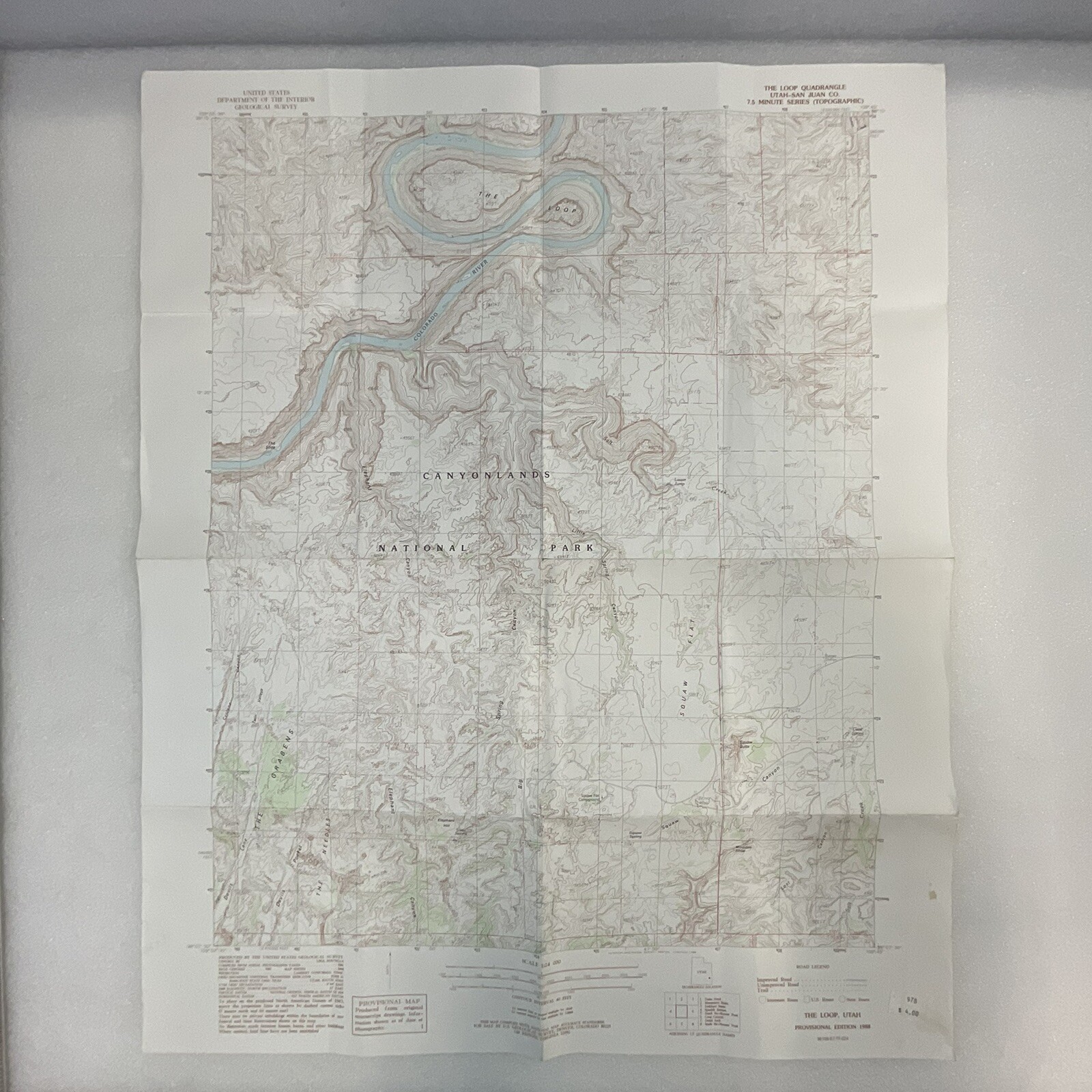
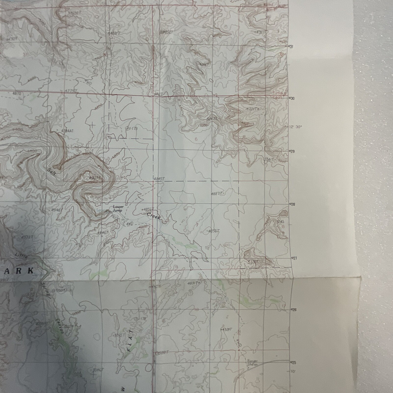
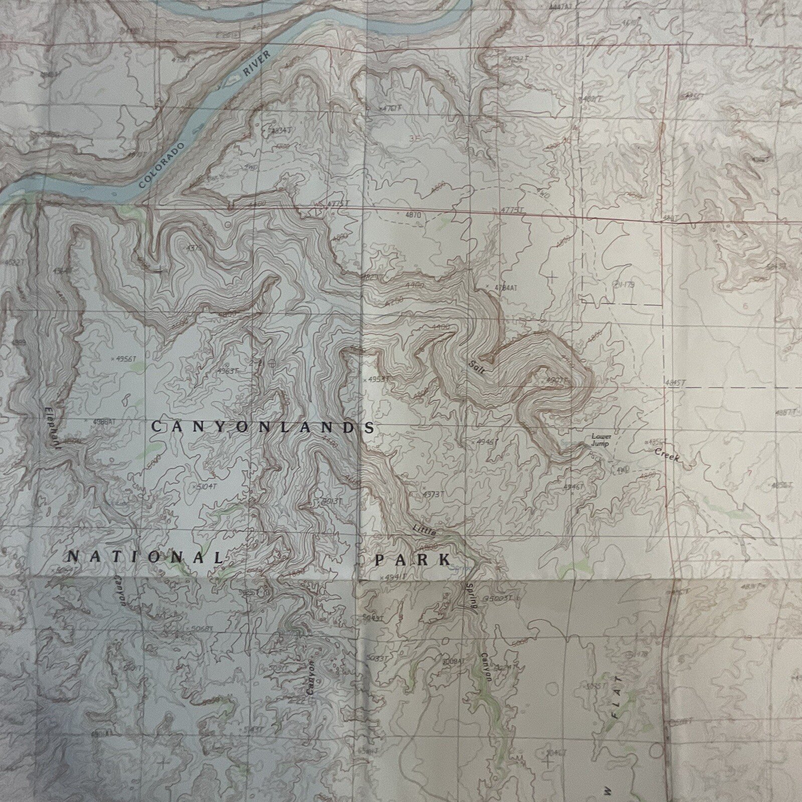
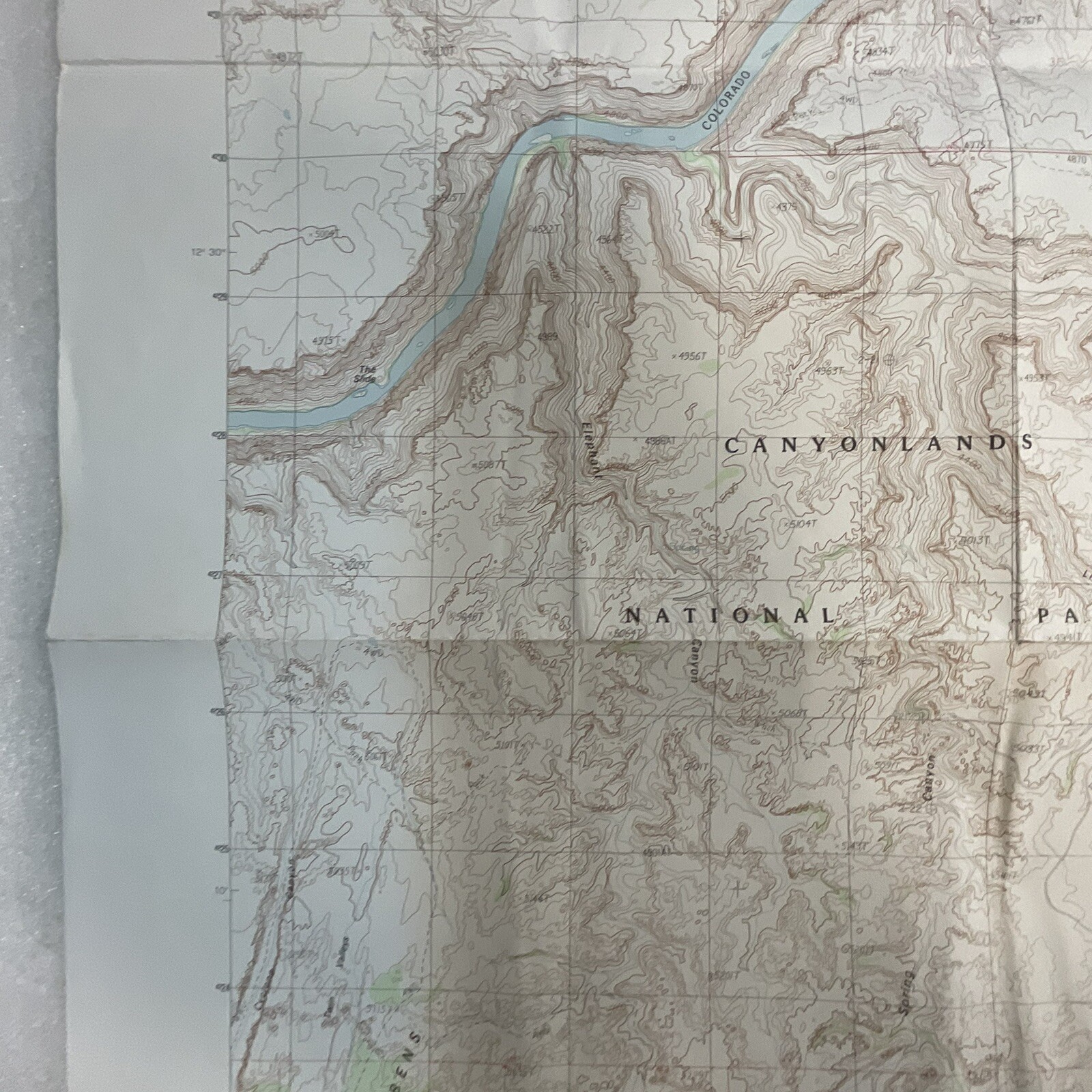
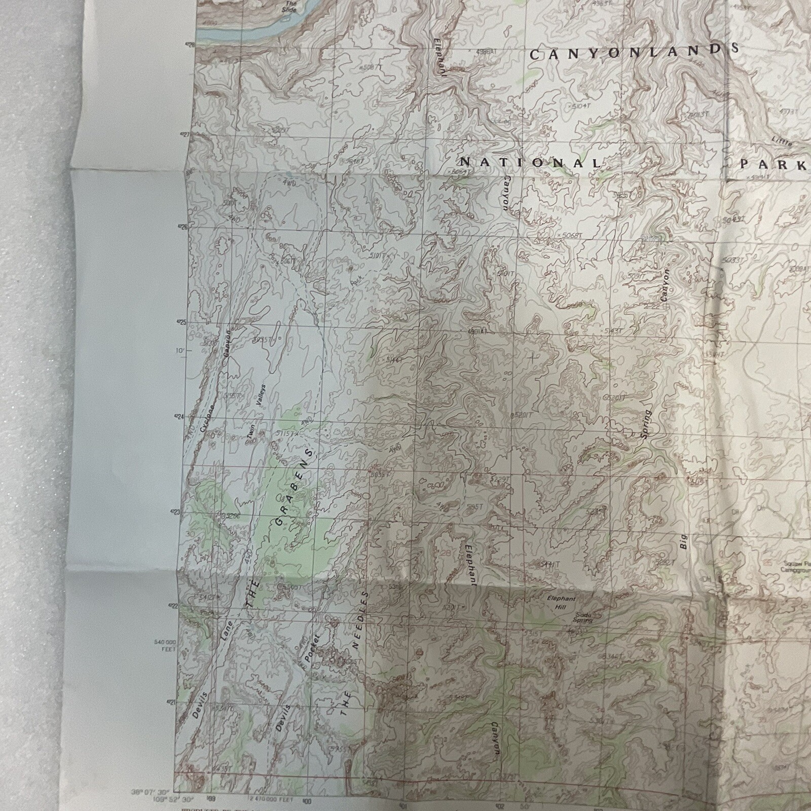
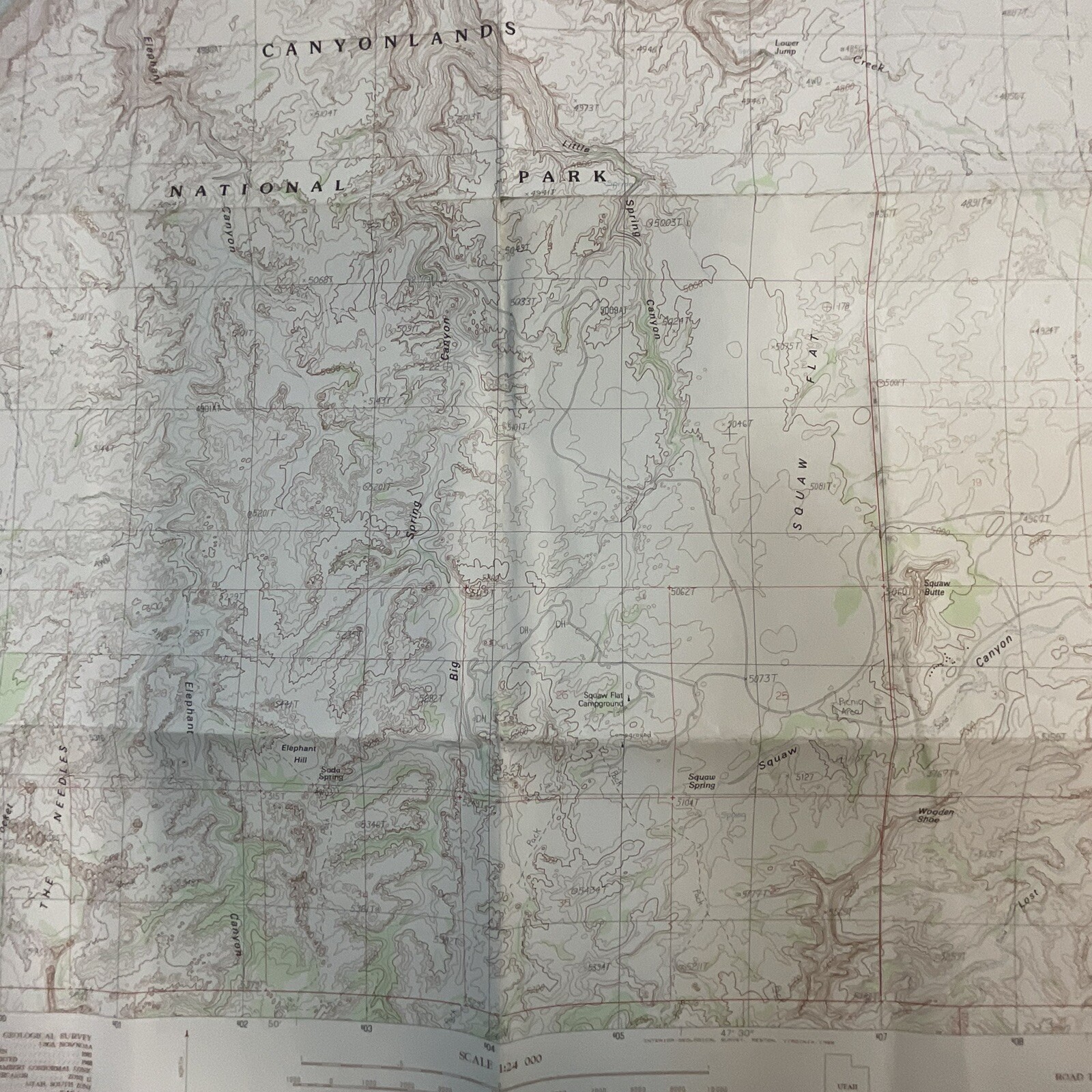
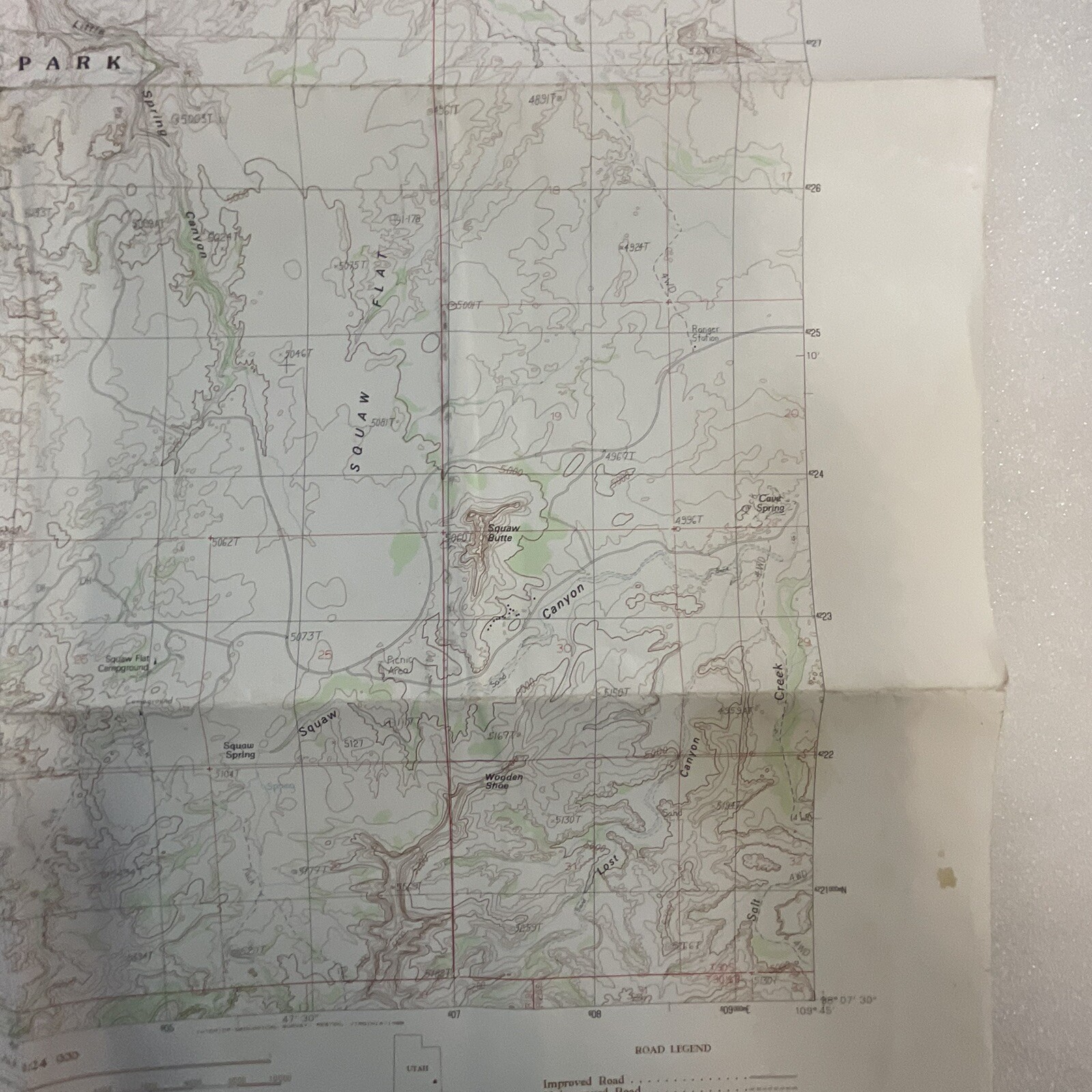
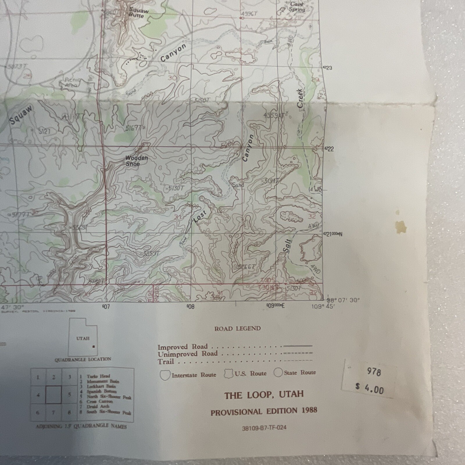
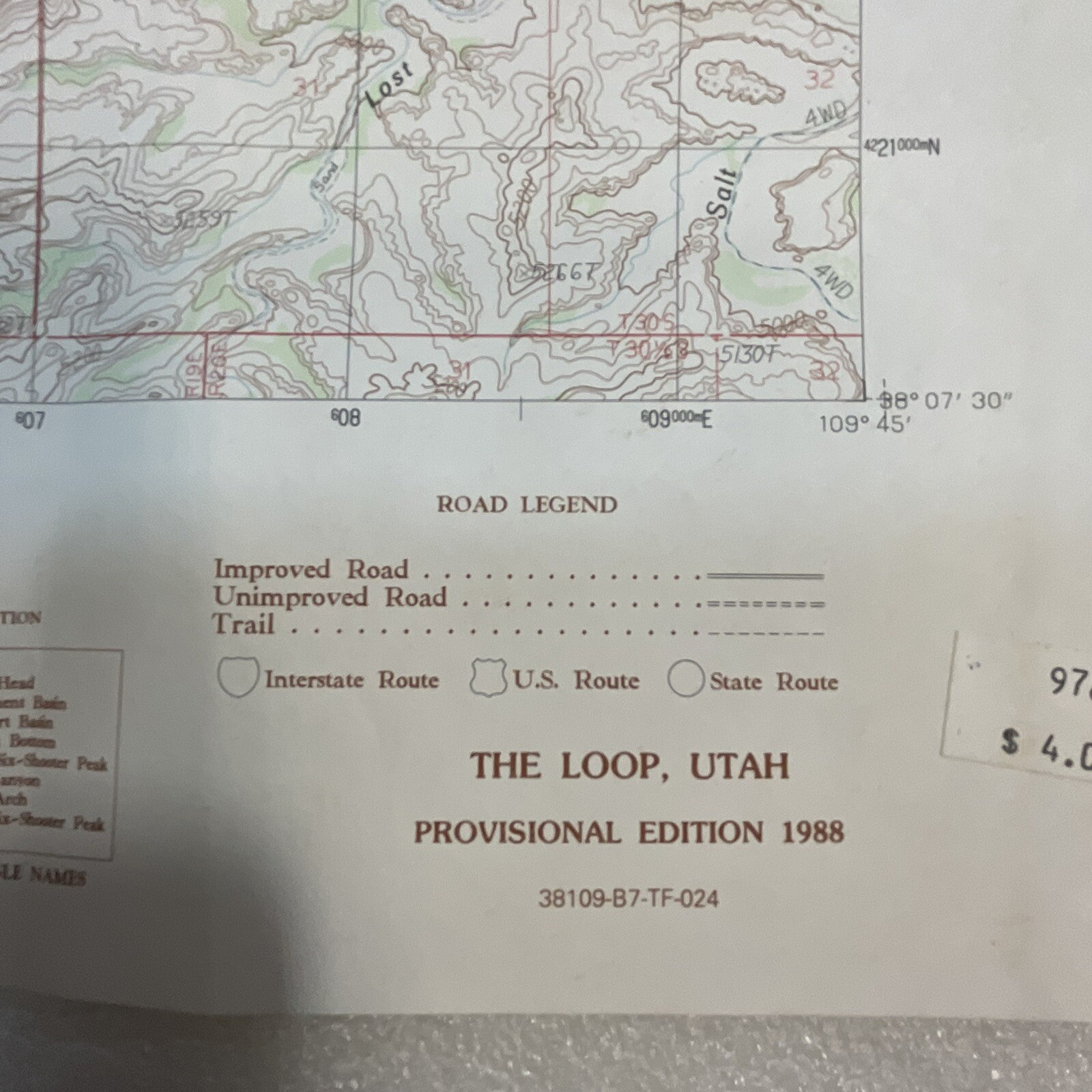
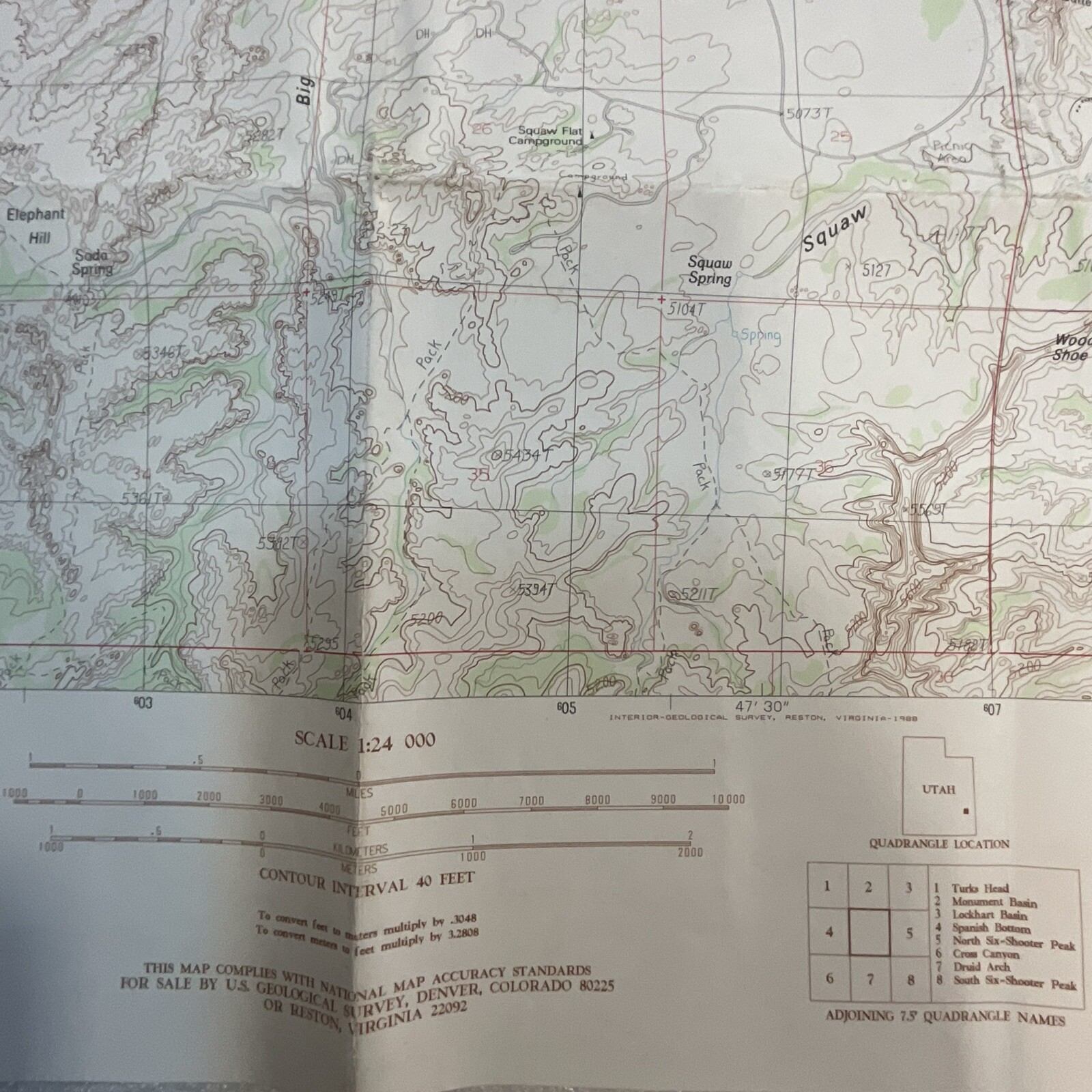
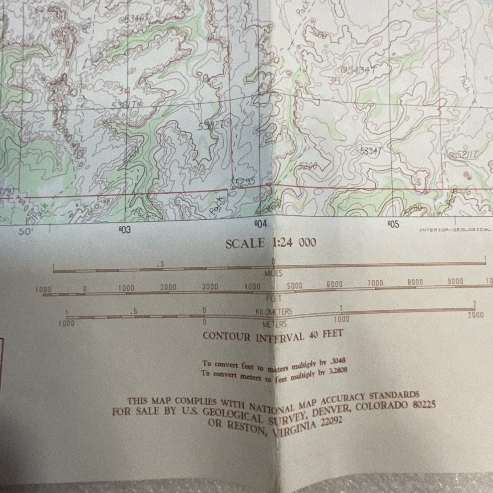
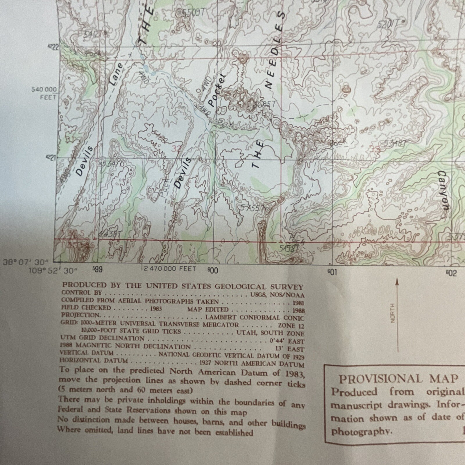
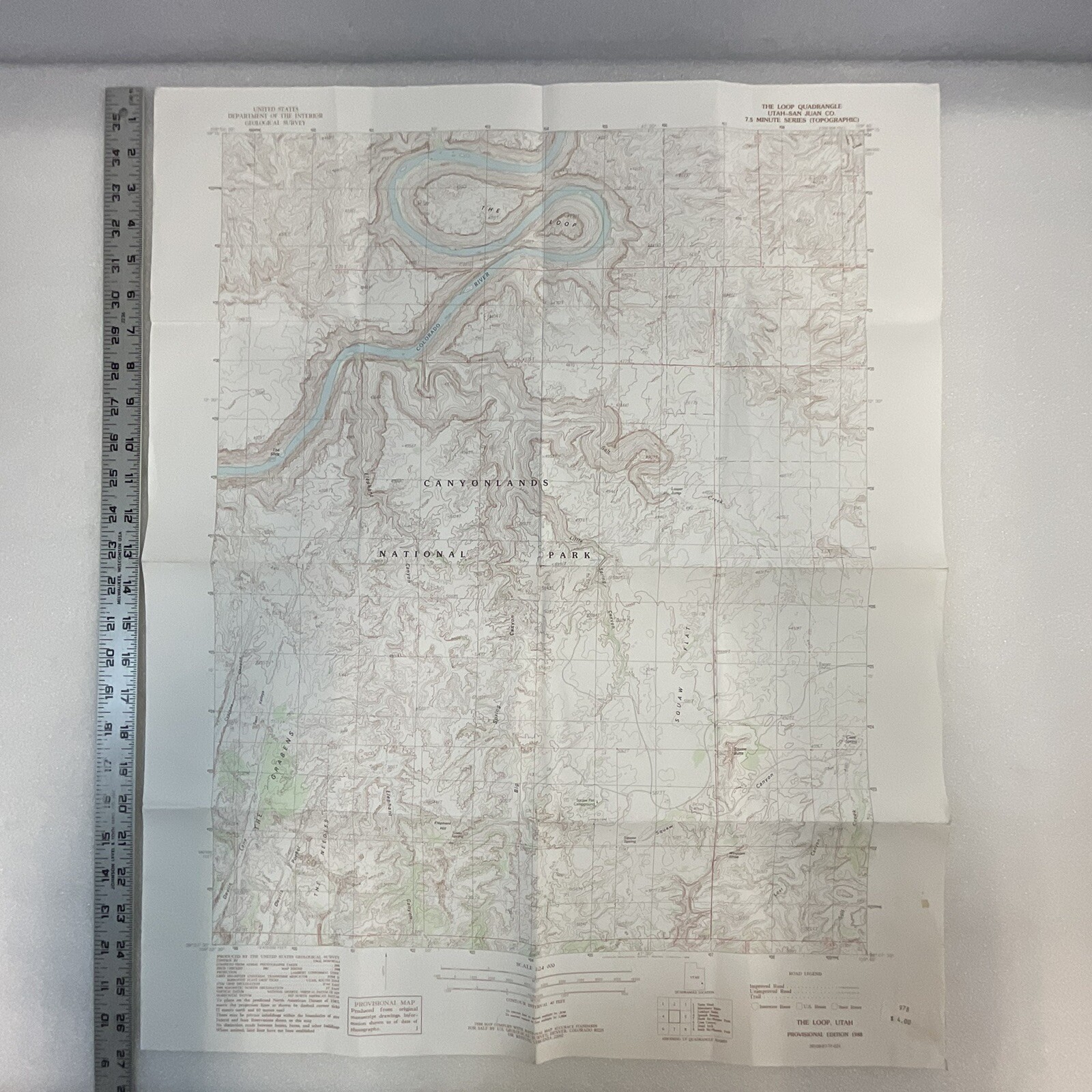
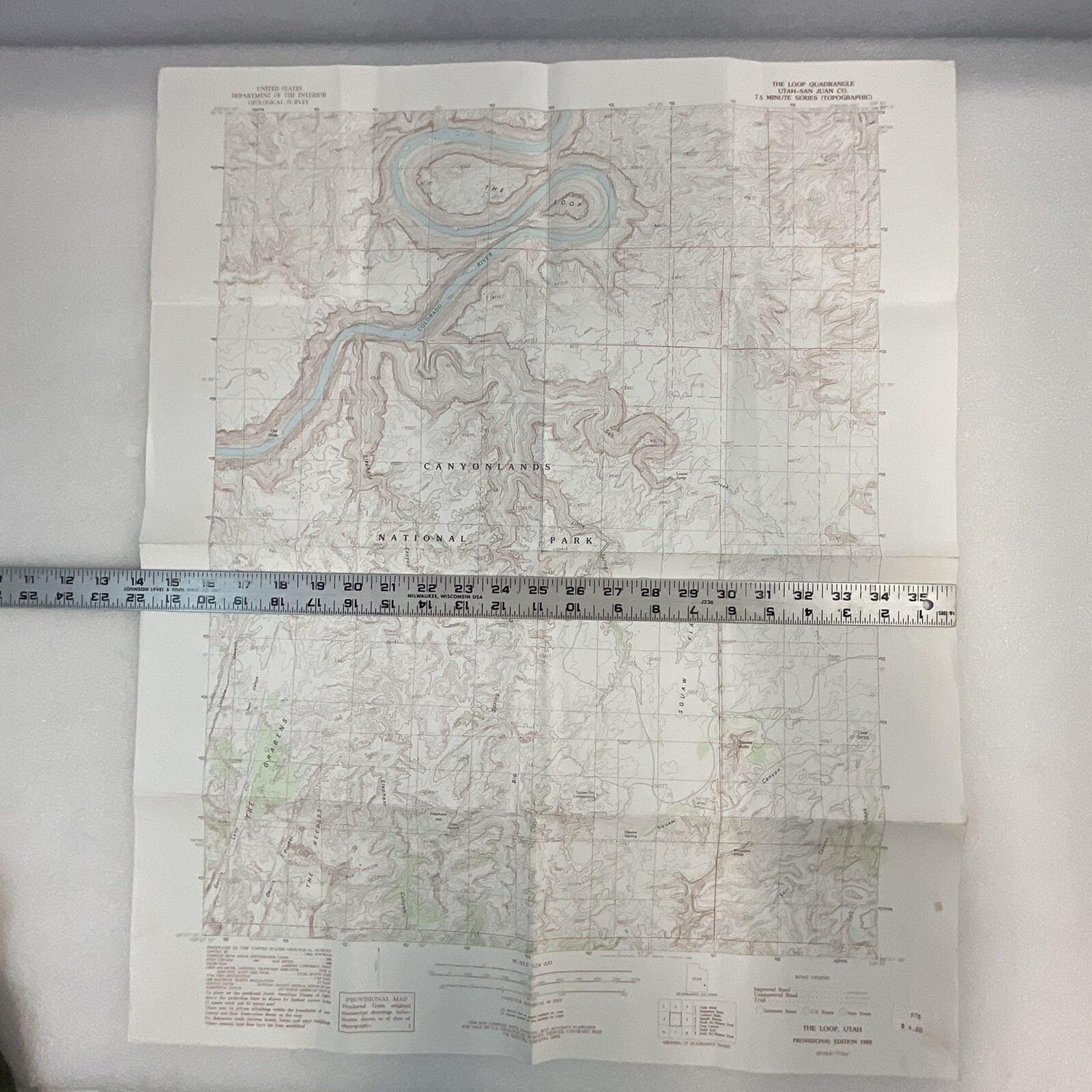
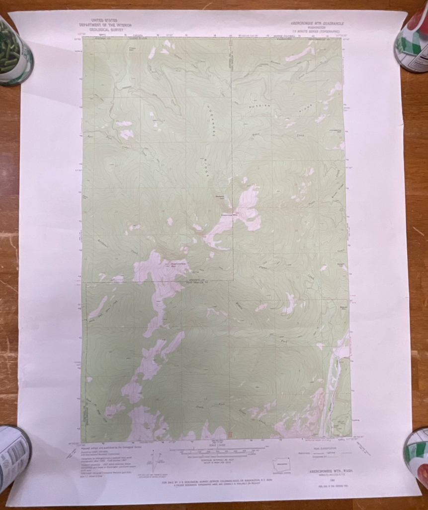
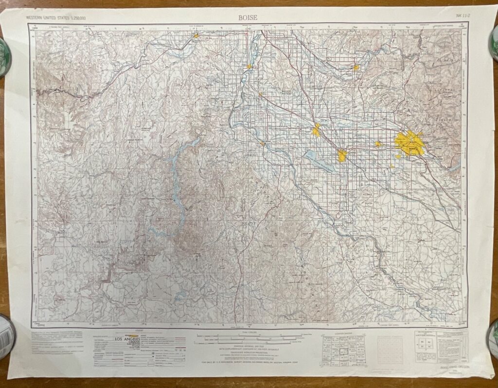
The Loop Quadrangle Utah Provisional Edition 1988 Topographical US Survey Map is a vintage topographical map of Utah, produced by the US Geological Survey.
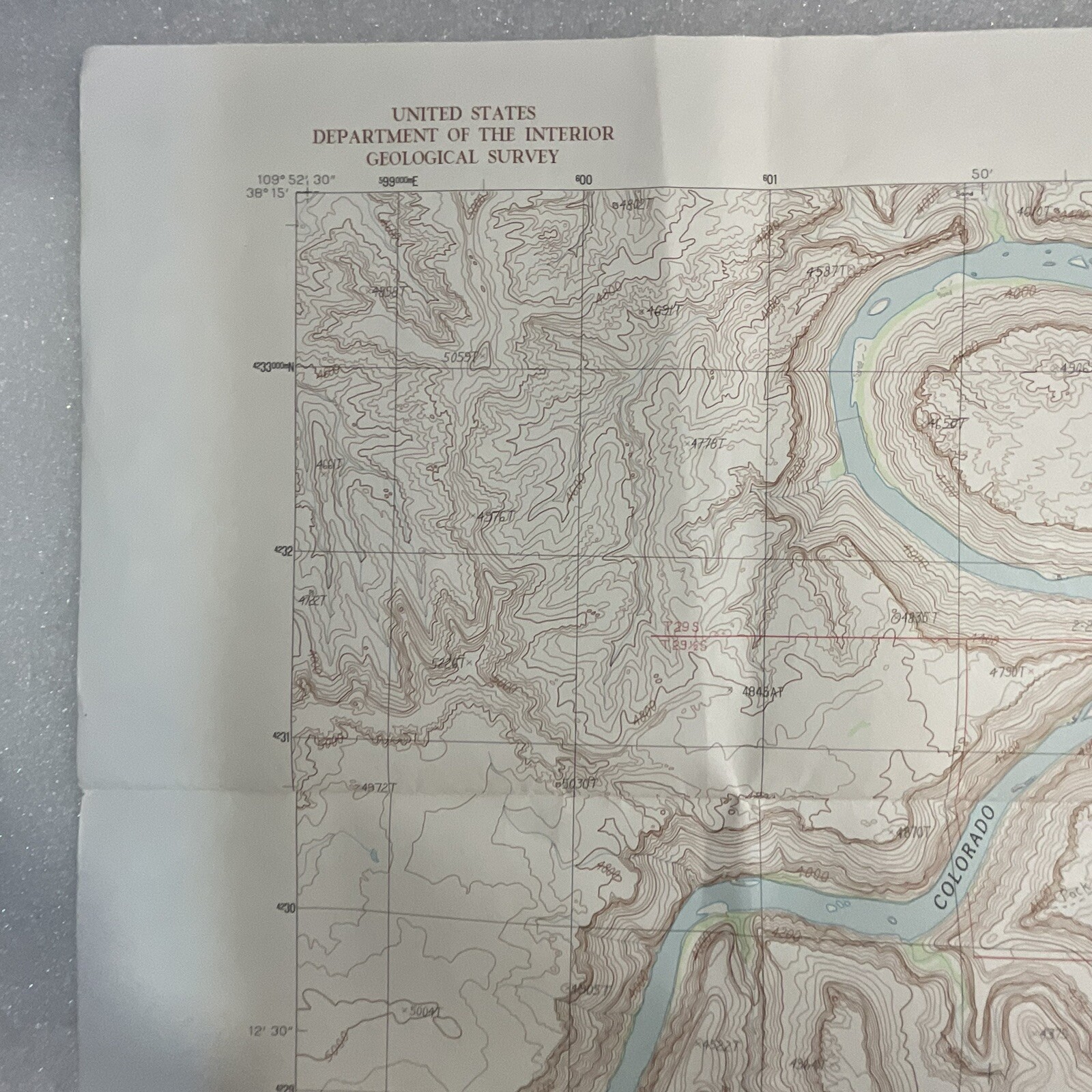
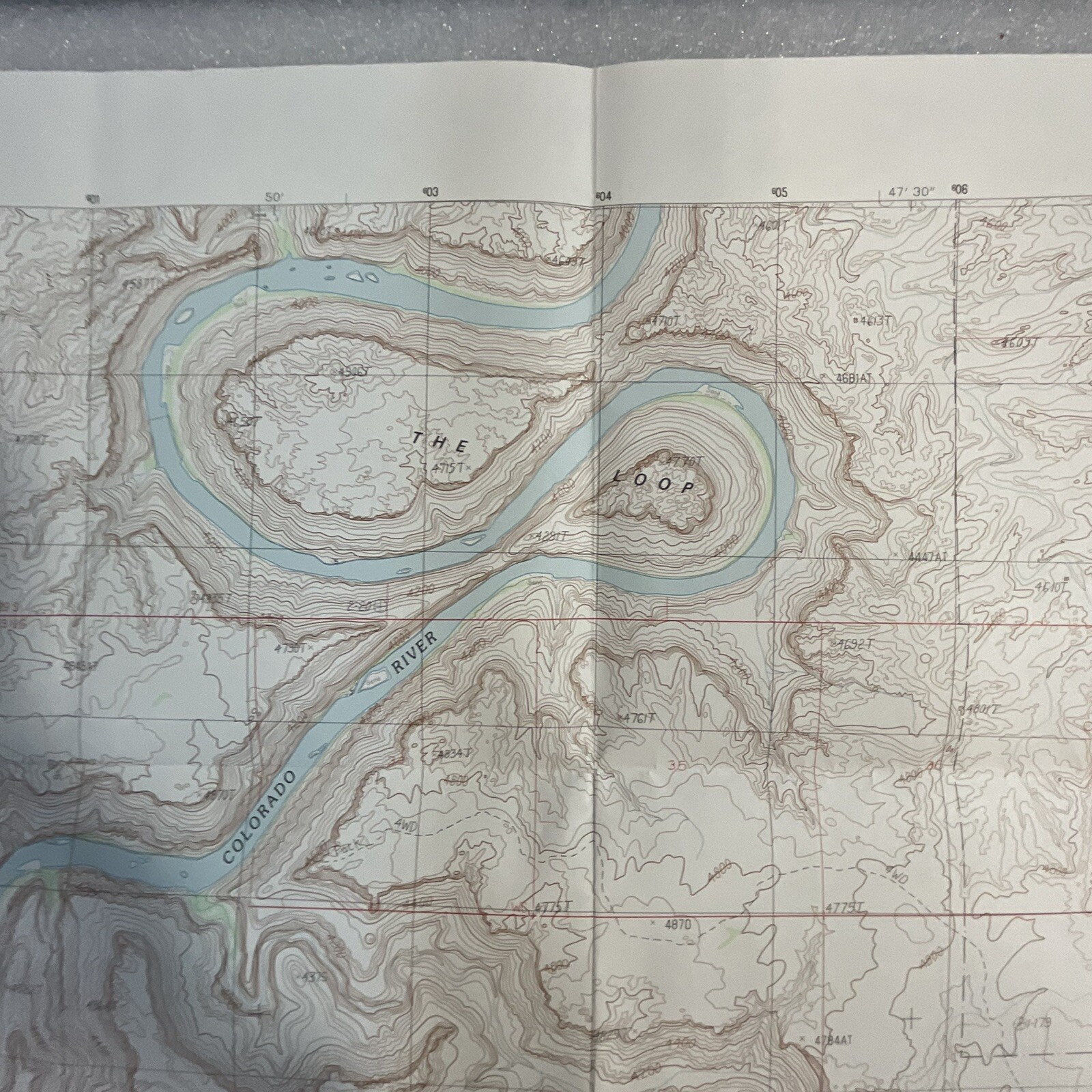
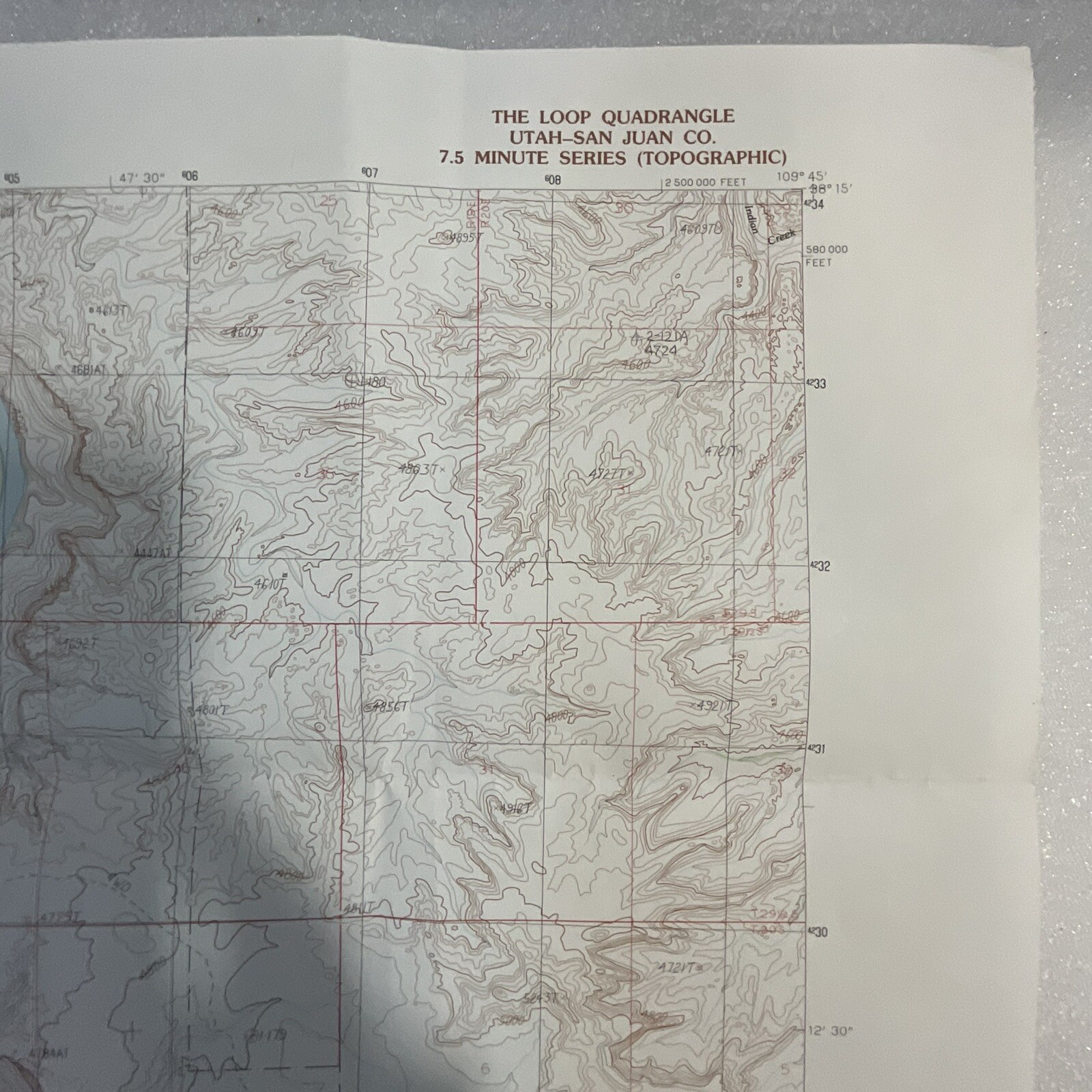
It covers the Loop Quadrangle area and features detailed information on the topography, including contour lines, elevation data, and water features.
The map is a valuable resource for hikers, geographers, and anyone interested in the natural landscape of Utah.












Reviews
There are no reviews yet.