
Description
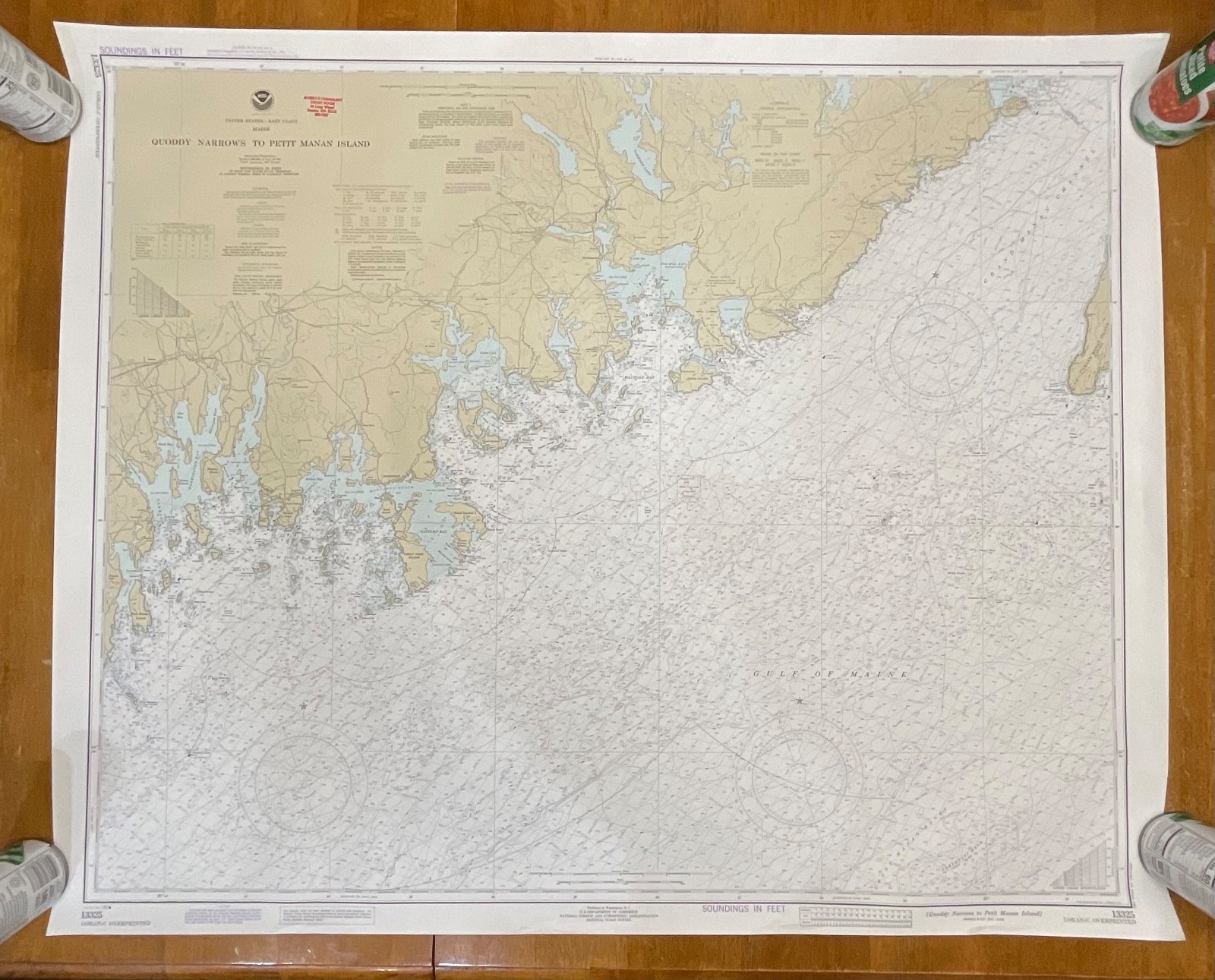
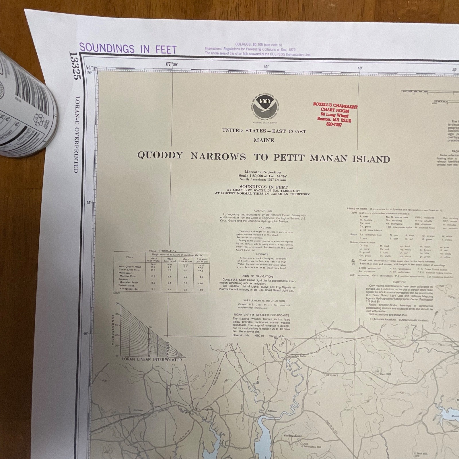
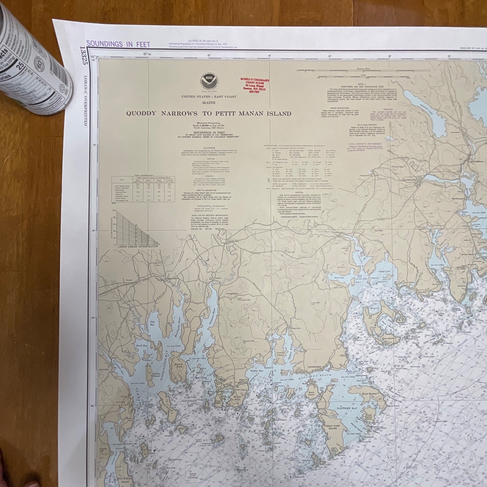
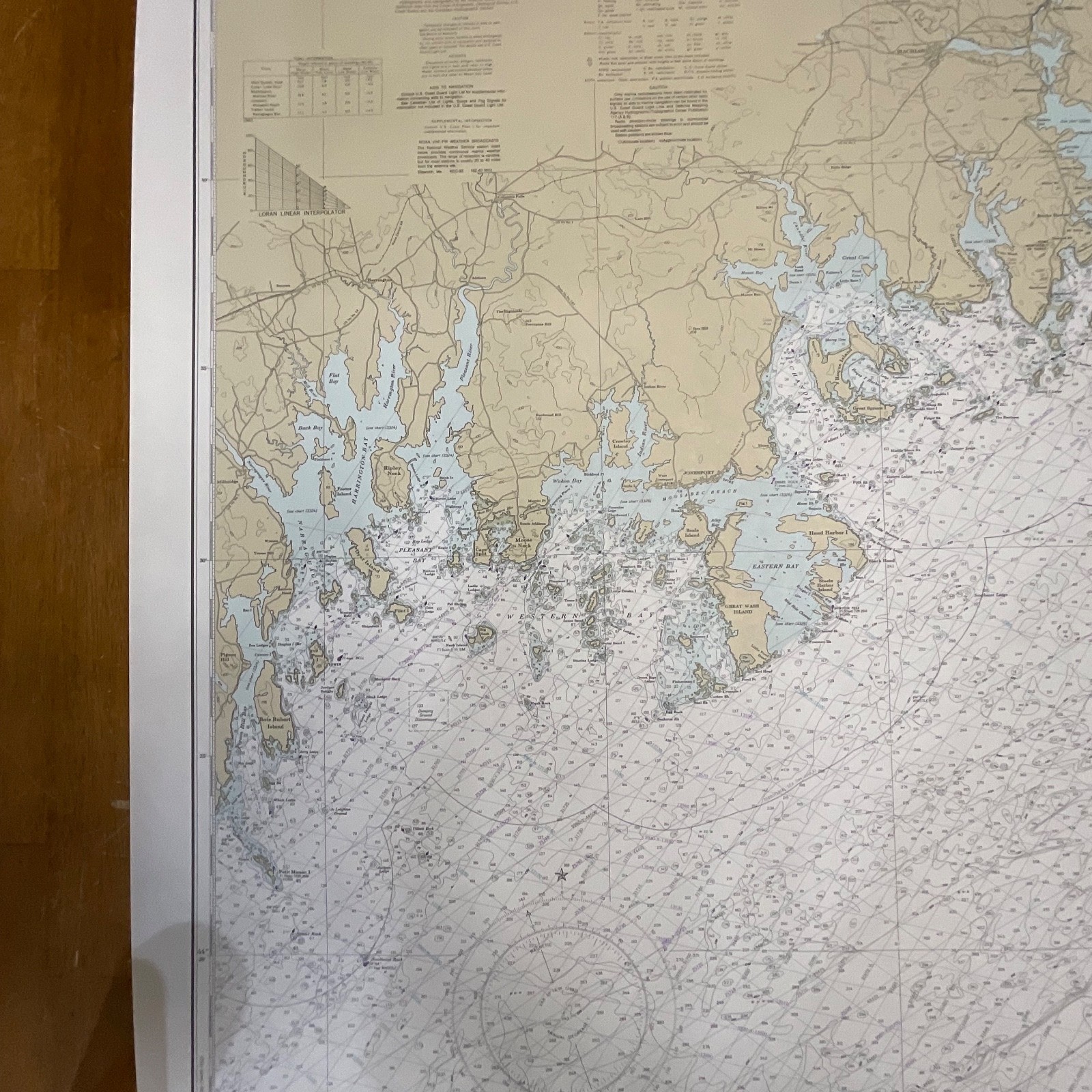
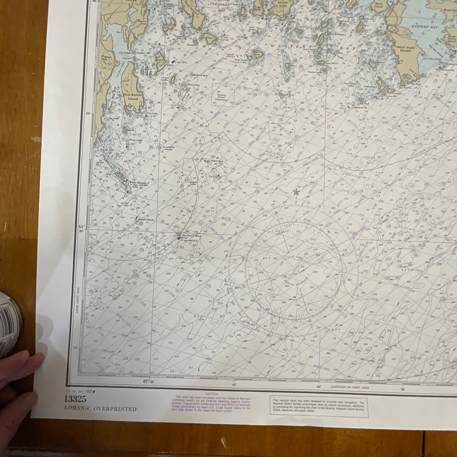
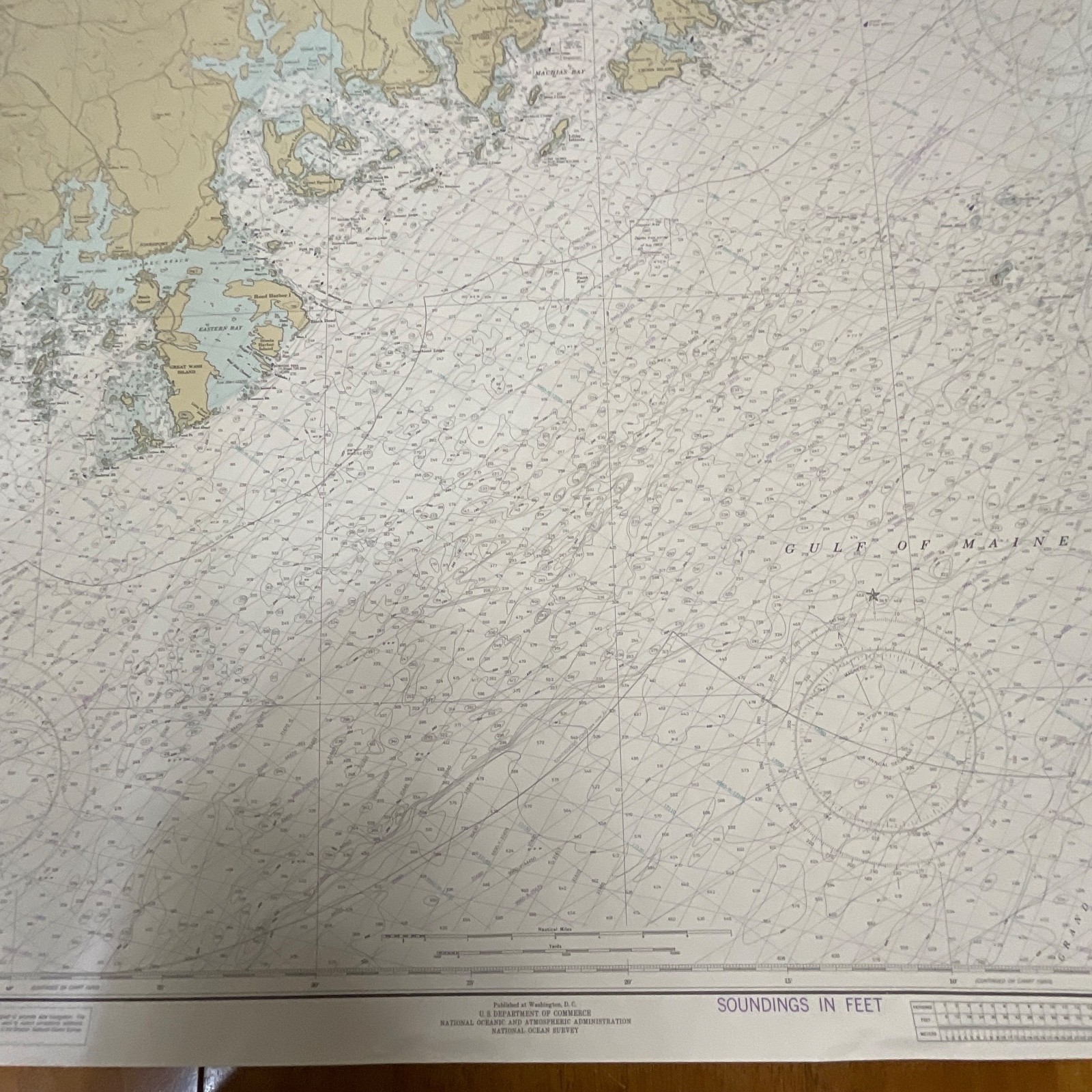
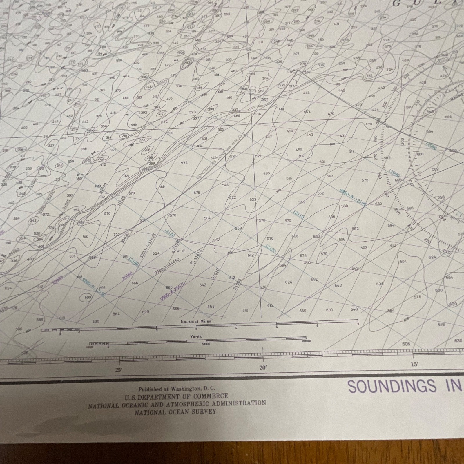
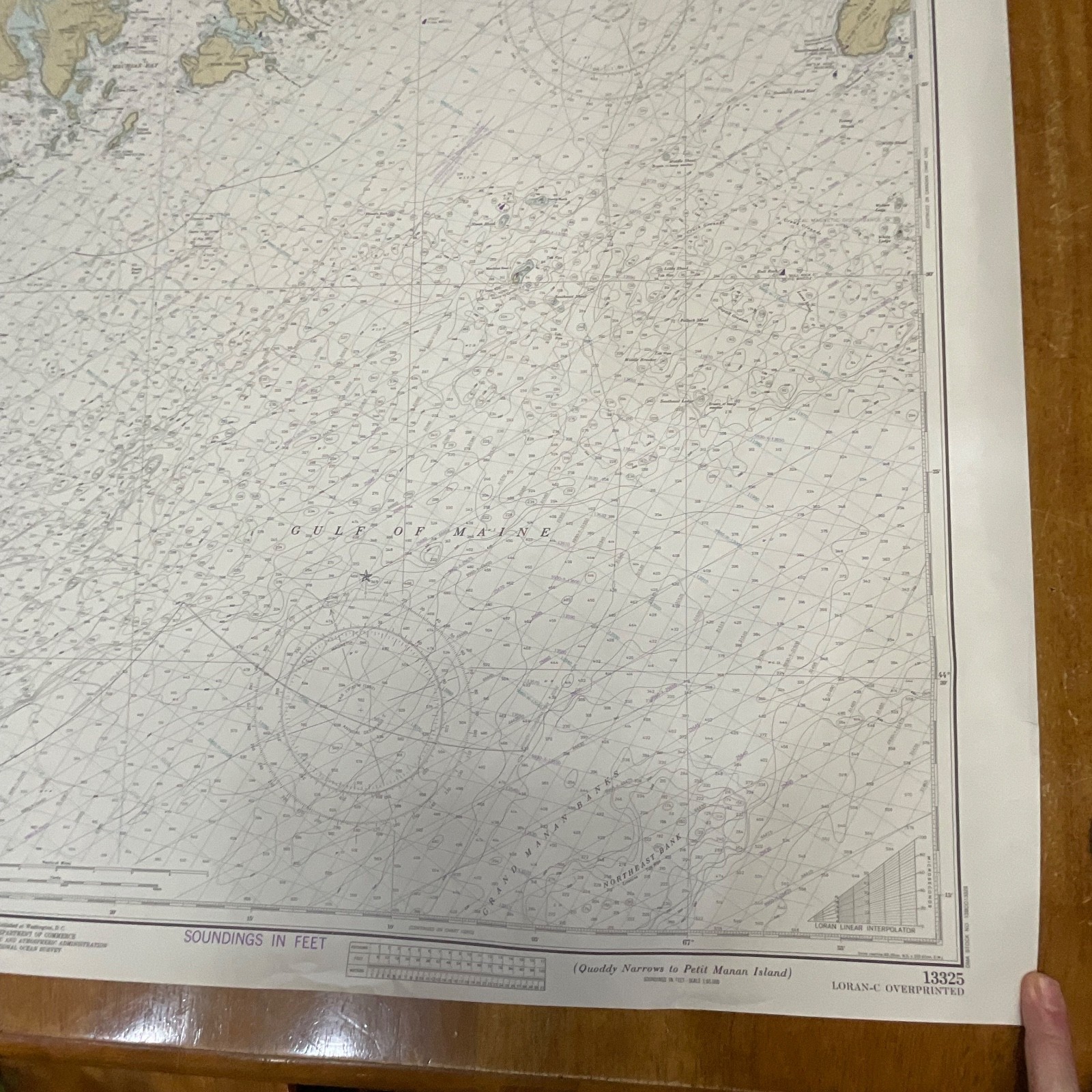
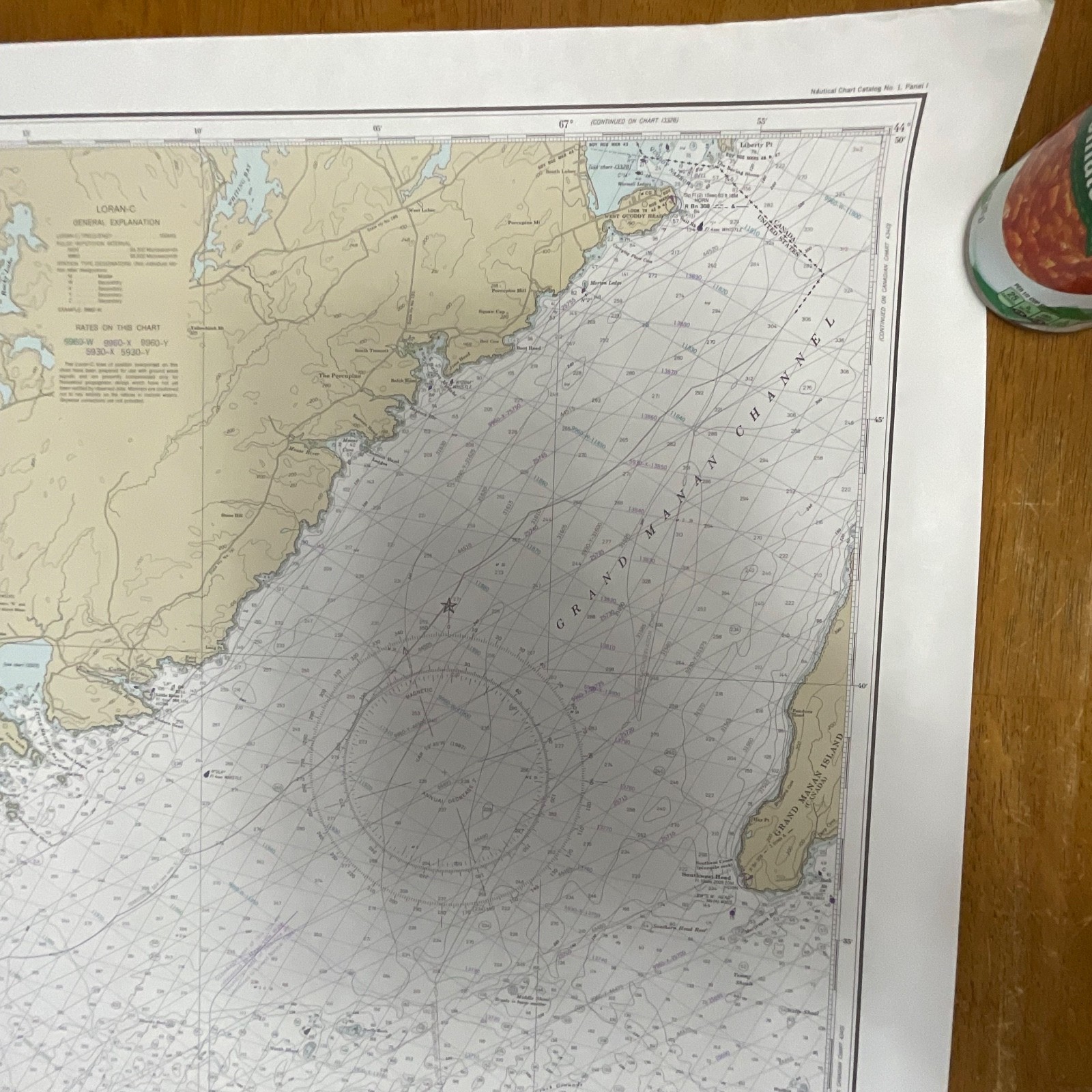
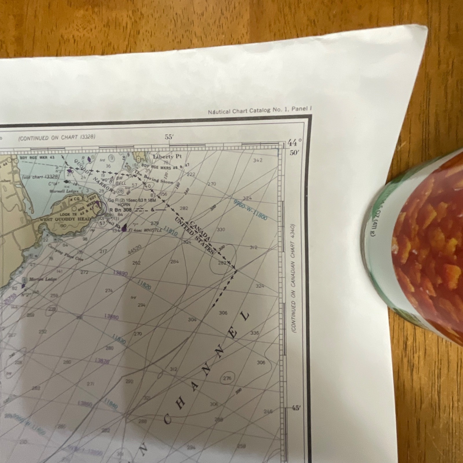
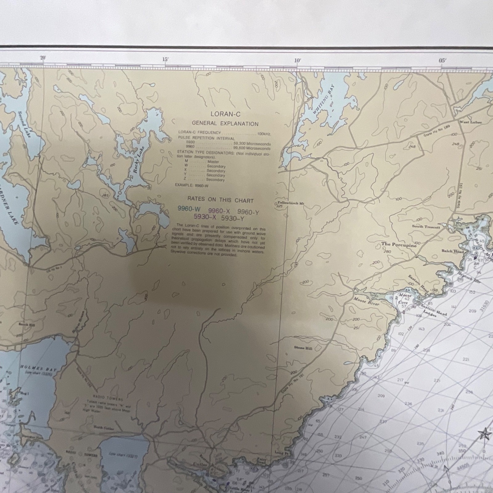
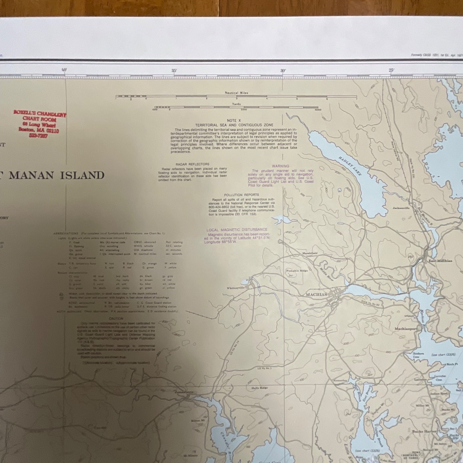
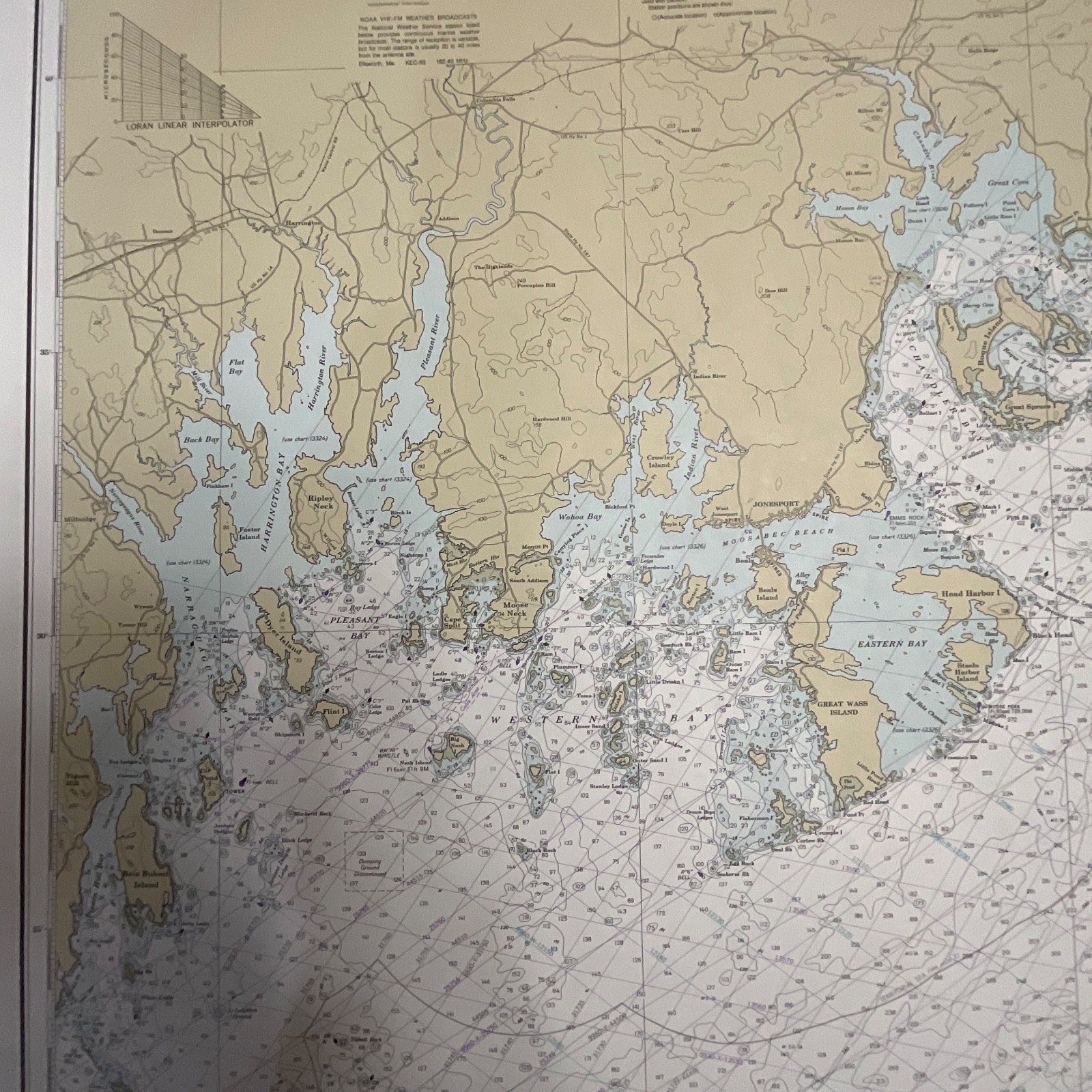
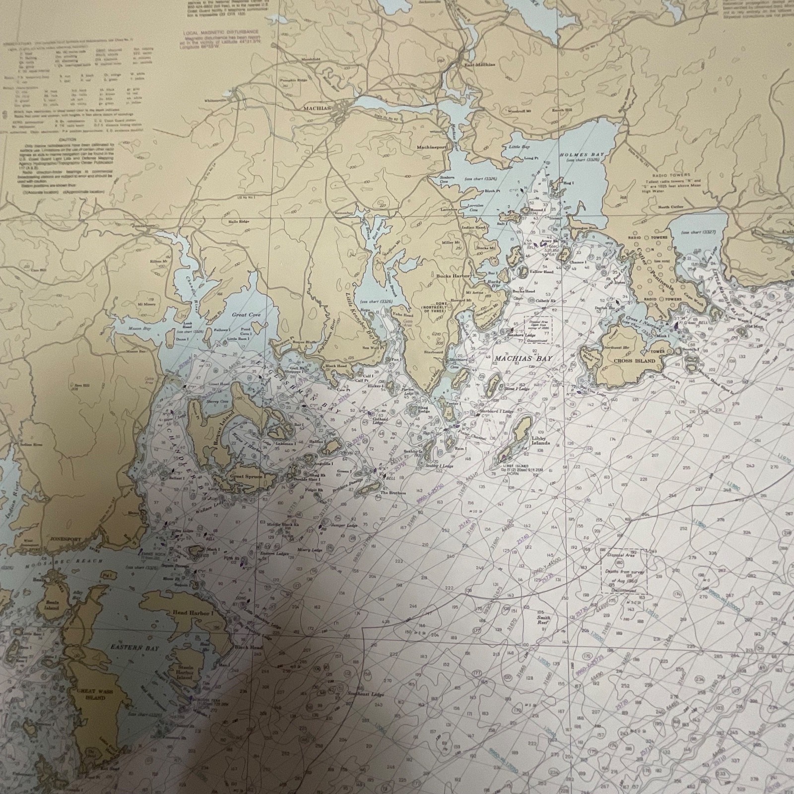
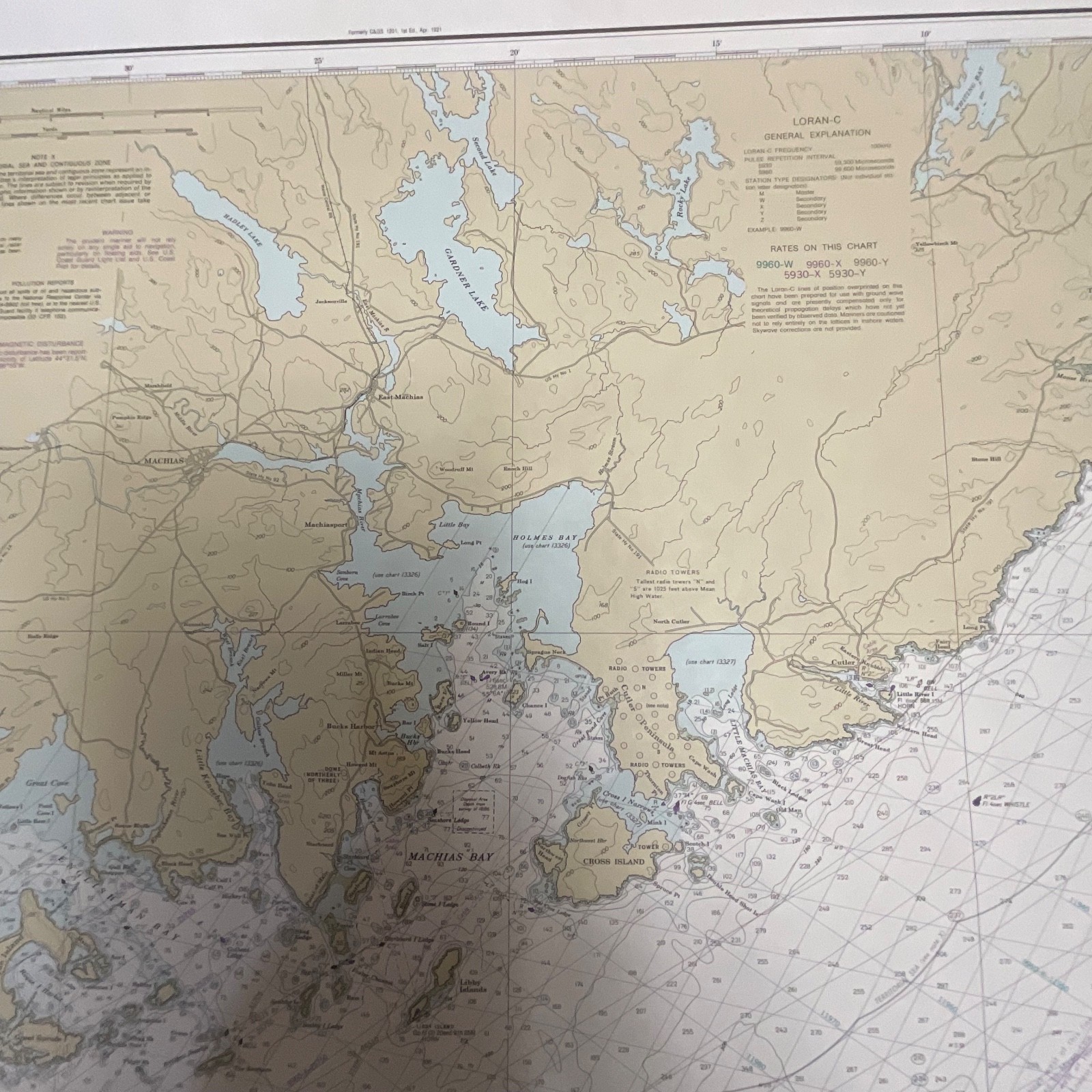
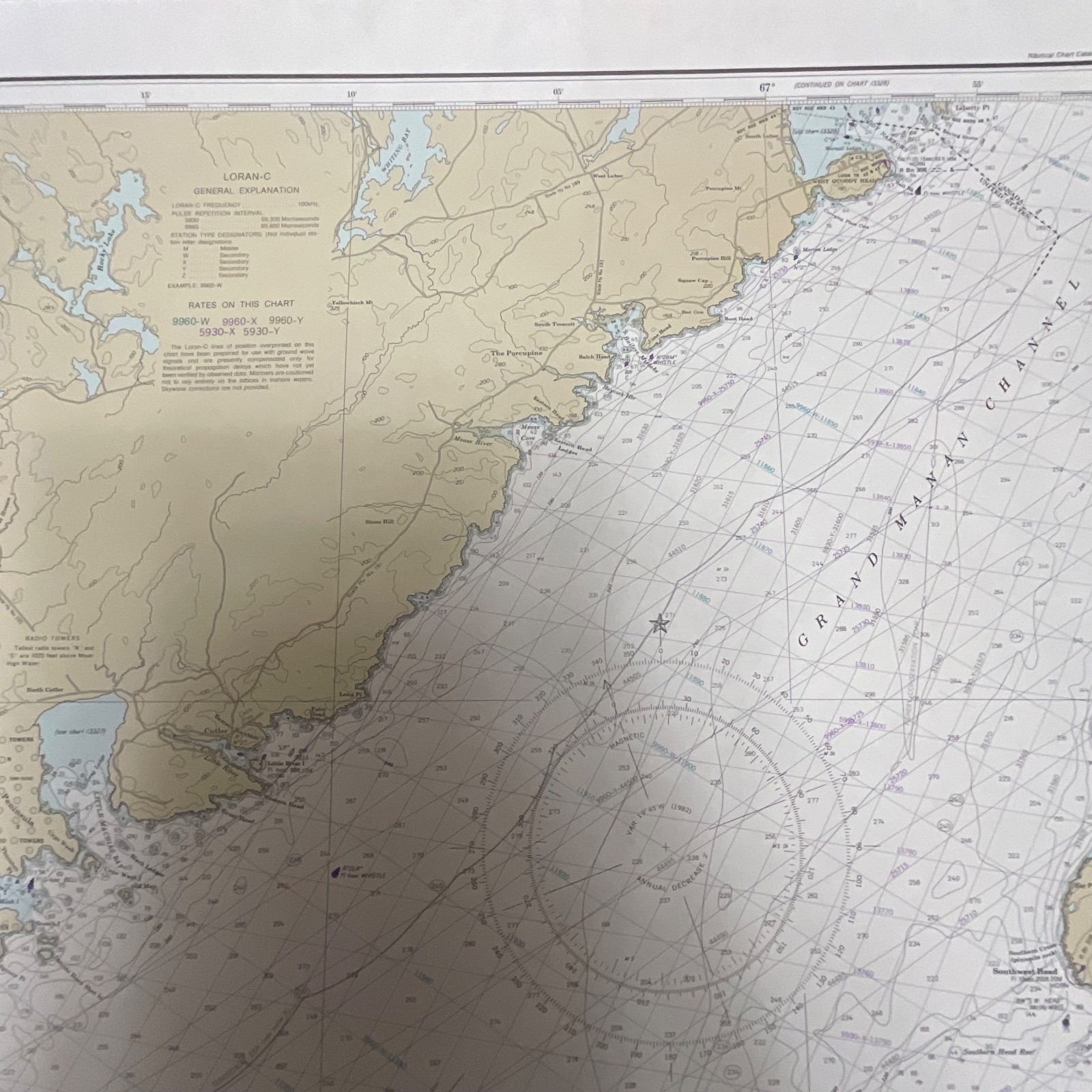
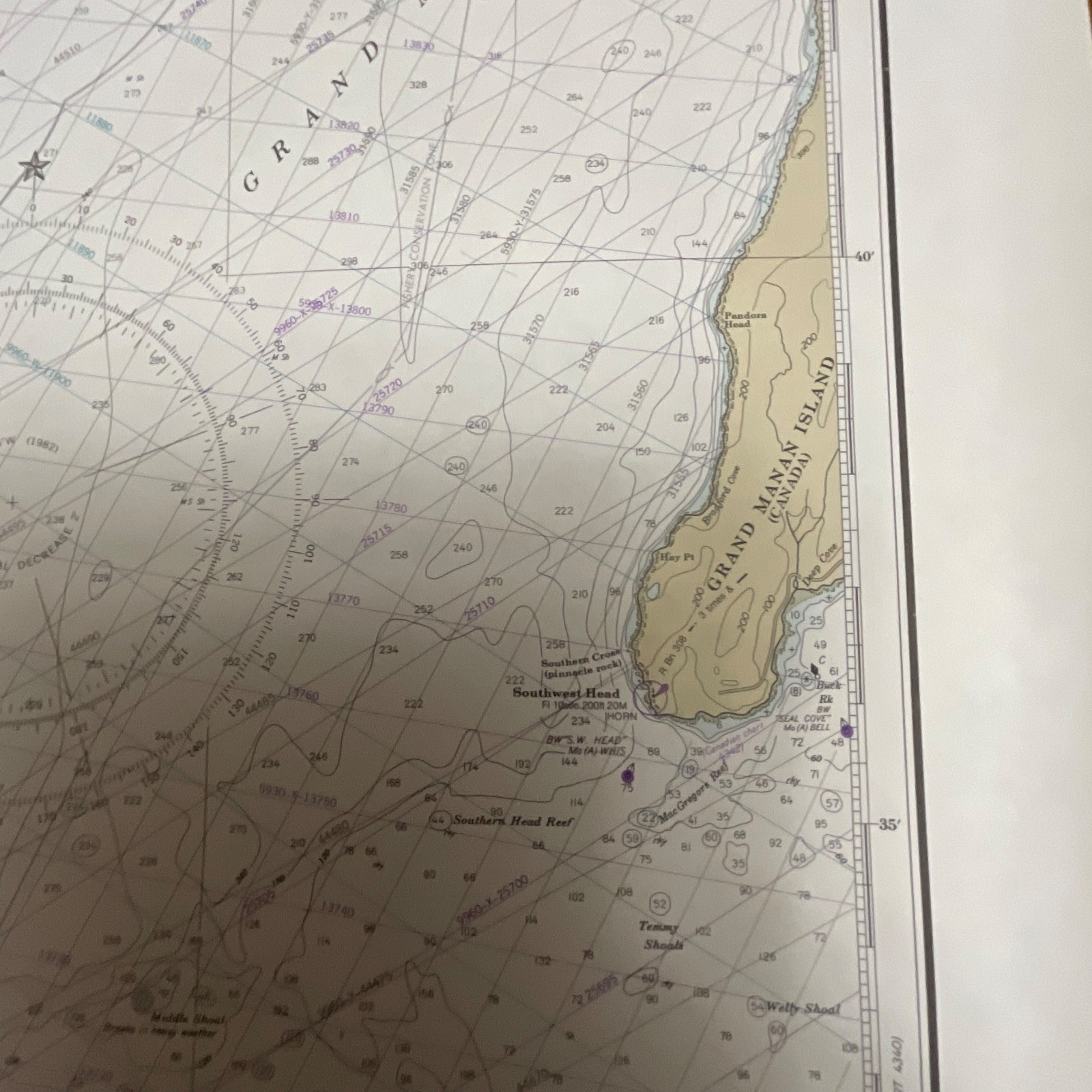
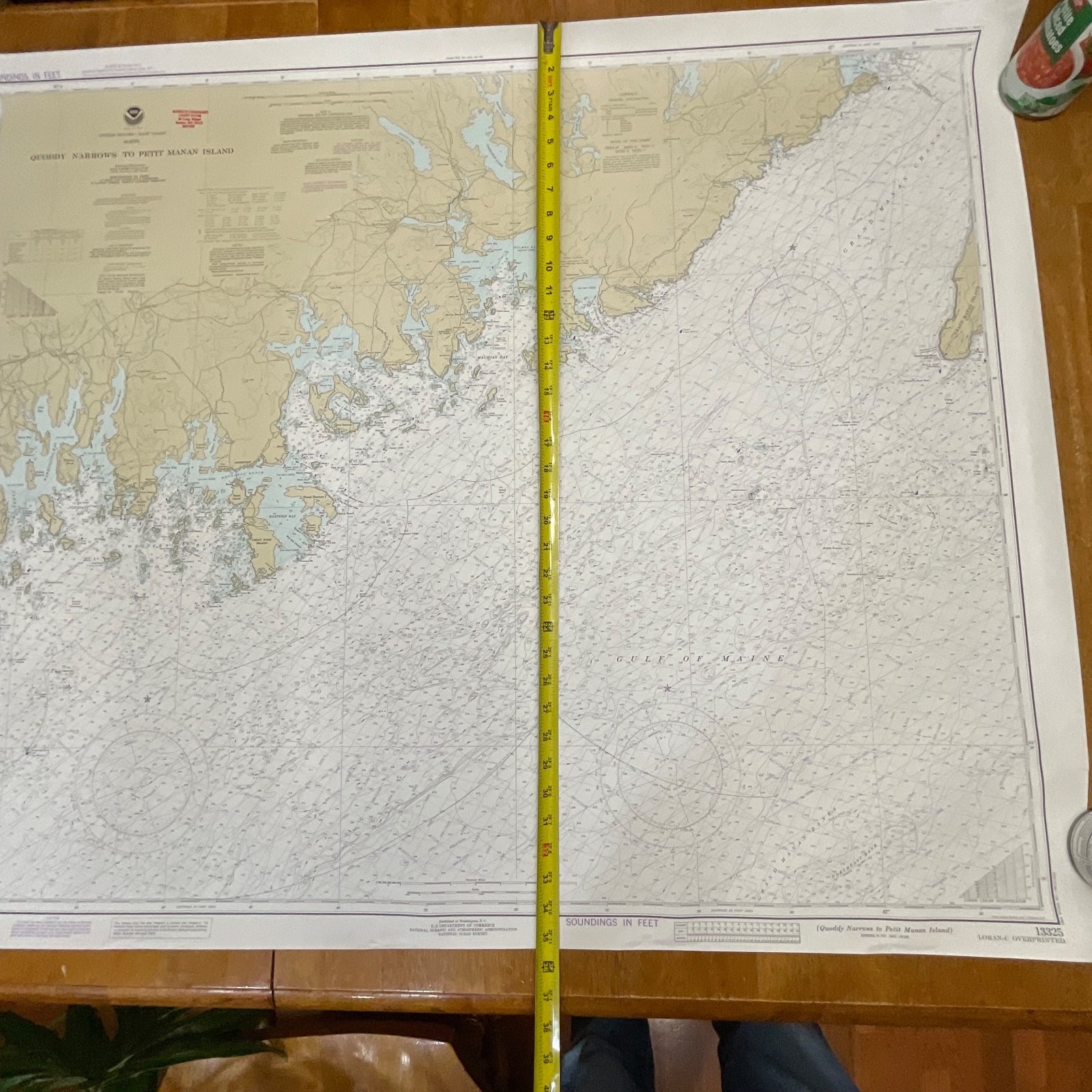
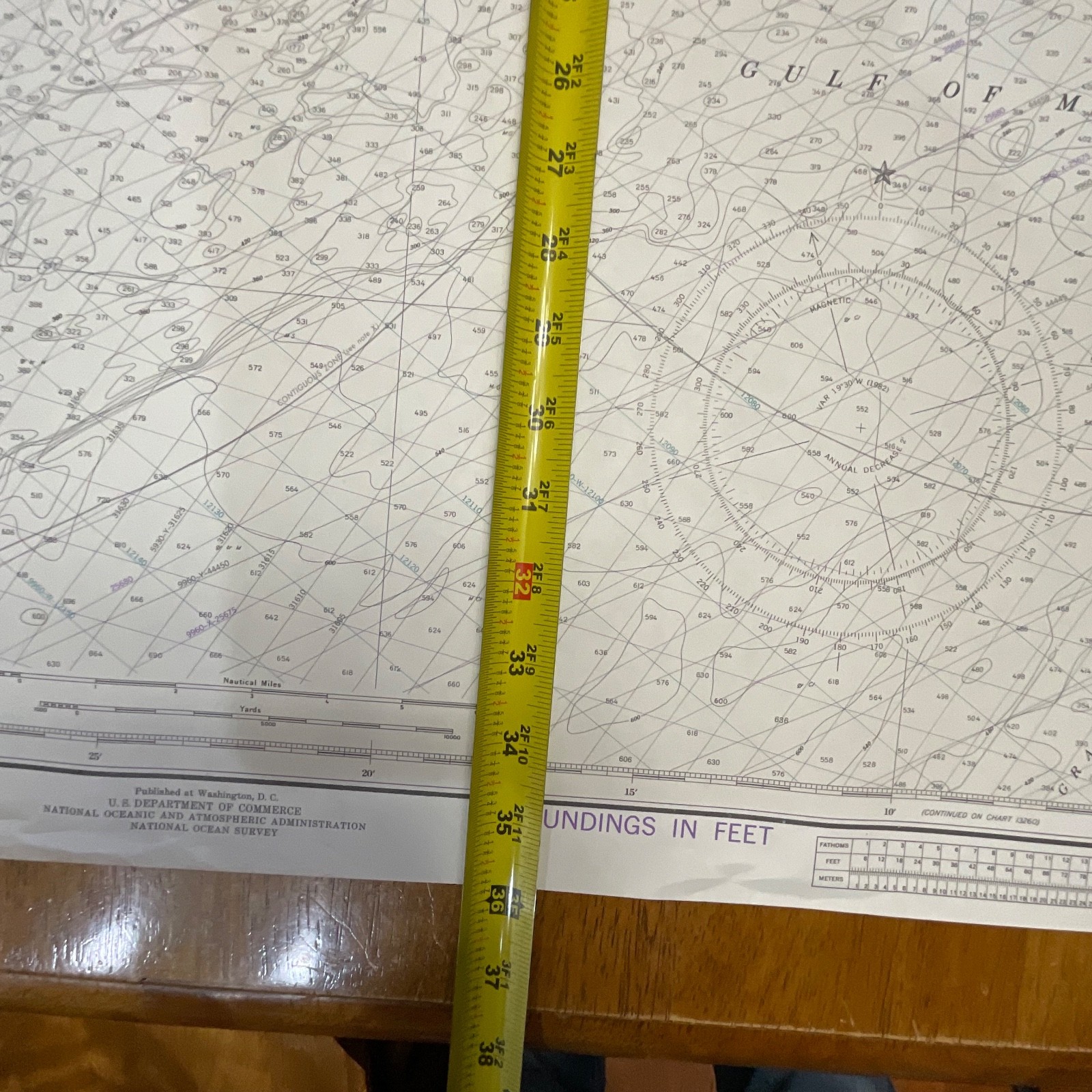
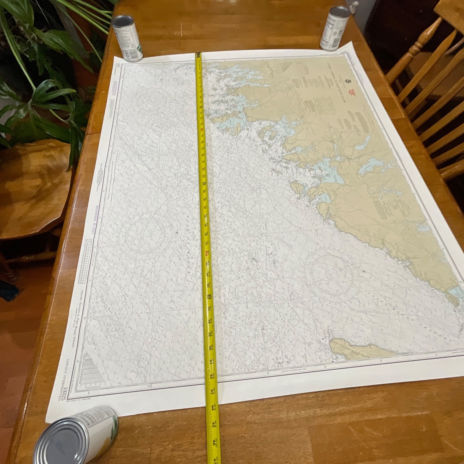
This 1982 NOAA nautical chart covers the Quoddy Narrows to Petit Manan Island region of the Maine coast. It features classic National Ocean Survey cartography with detailed coastal contours, soundings in feet, and LORAN-C overprint markings. NOAA maker information and publication details are clearly visible along the margins. The map is printed on heavyweight chart paper with crisp lines and clear coloration.
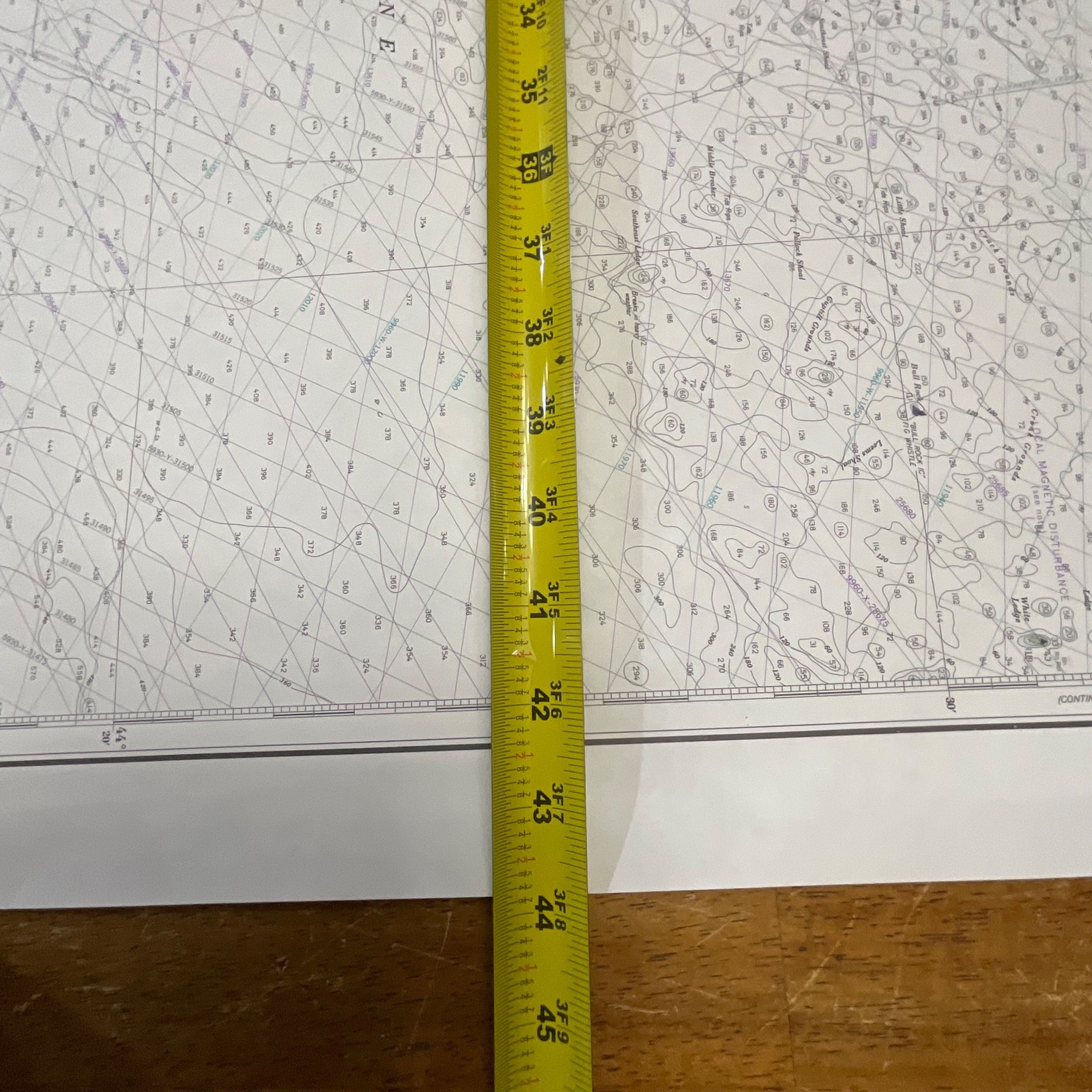
Measurements are approximately 36in tall by 44in wide.
Ships securely with protective packaging; prompt shipping excluding Federal Holidays.
Condition Description
Pre-owned vintage chart in clean condition with only light handling wear visible at the edges. No major tears or stains observed. Please review all photos for exact condition before purchase.
Item Specifics
• Category: Collectibles > Maps & Atlases
• Type: Nautical Chart
• Style: Maritime / Coastal Navigation
• Material: Paper
• Color: Multicolor (tan landmass / blue water / black detailing)
• Size: 36in x 44in
• Era: 1982
• Occasion: Maritime use / Display / Coastal décor
• Gender/Unisex: Unisex
• Brand/Signature: NOAA – National Ocean Survey
• Country/Region: United States
• UPC: Not visible

Reviews
There are no reviews yet.