

Description
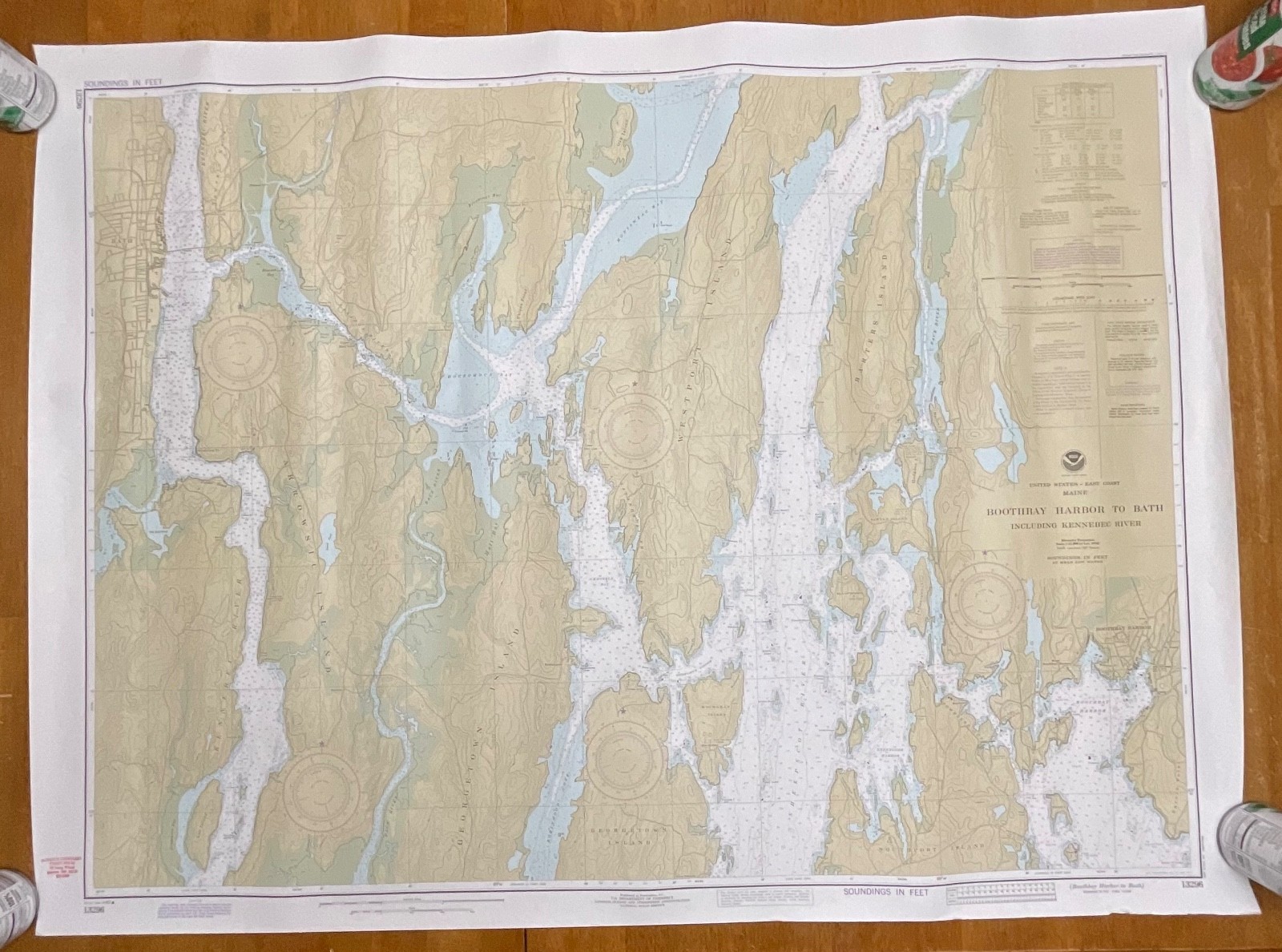
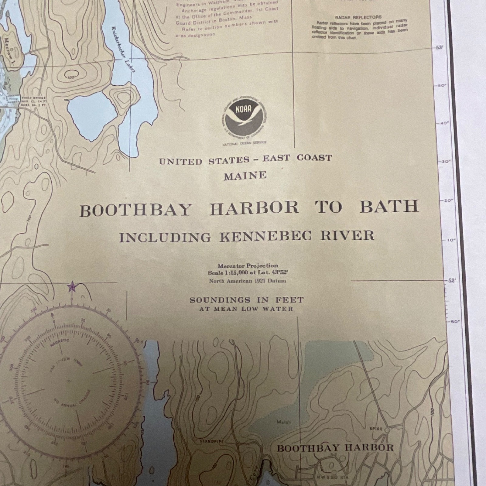
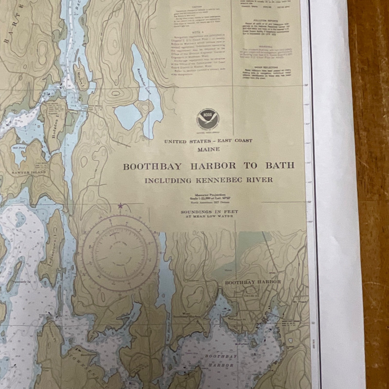
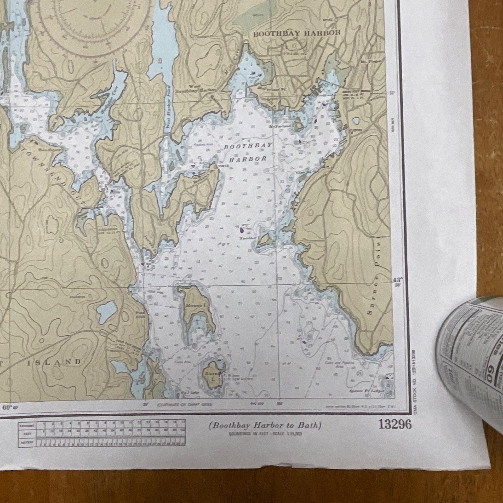
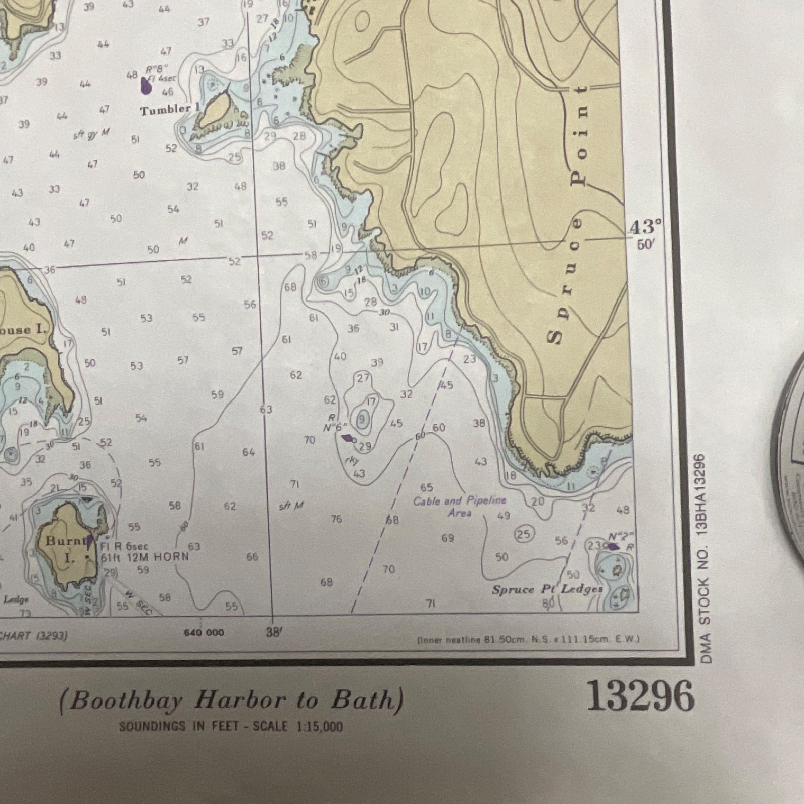
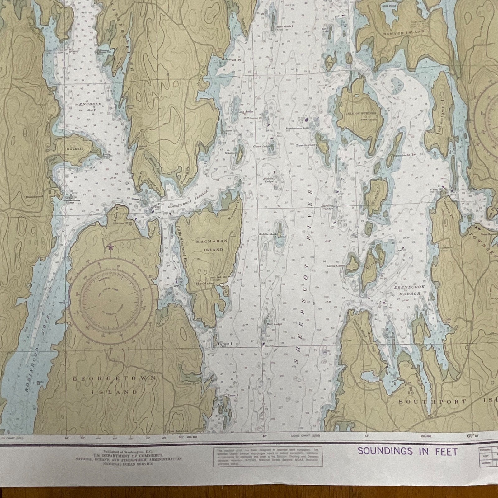
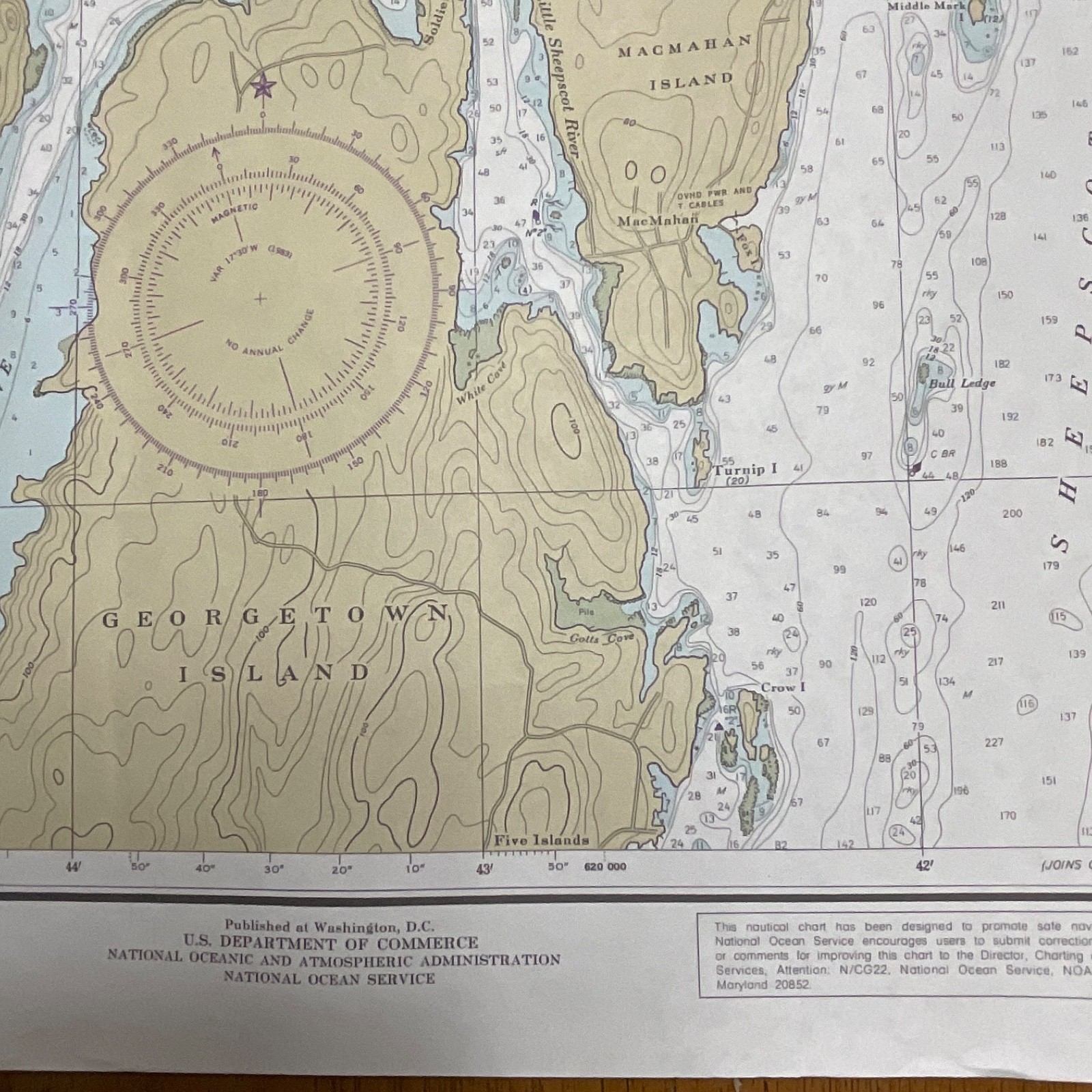
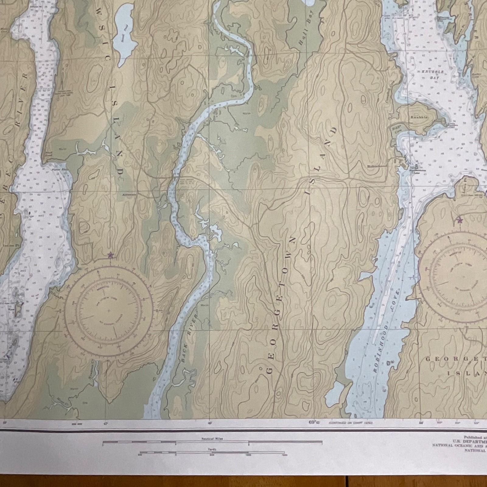
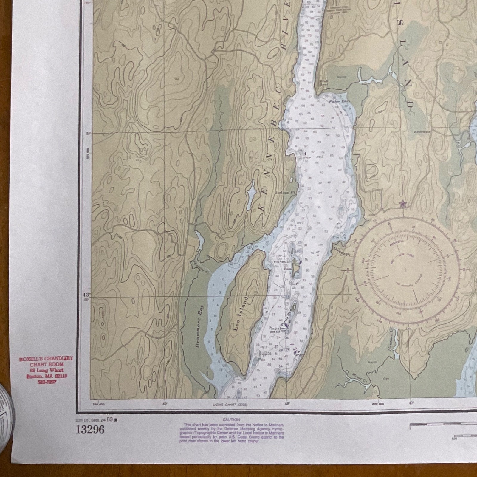
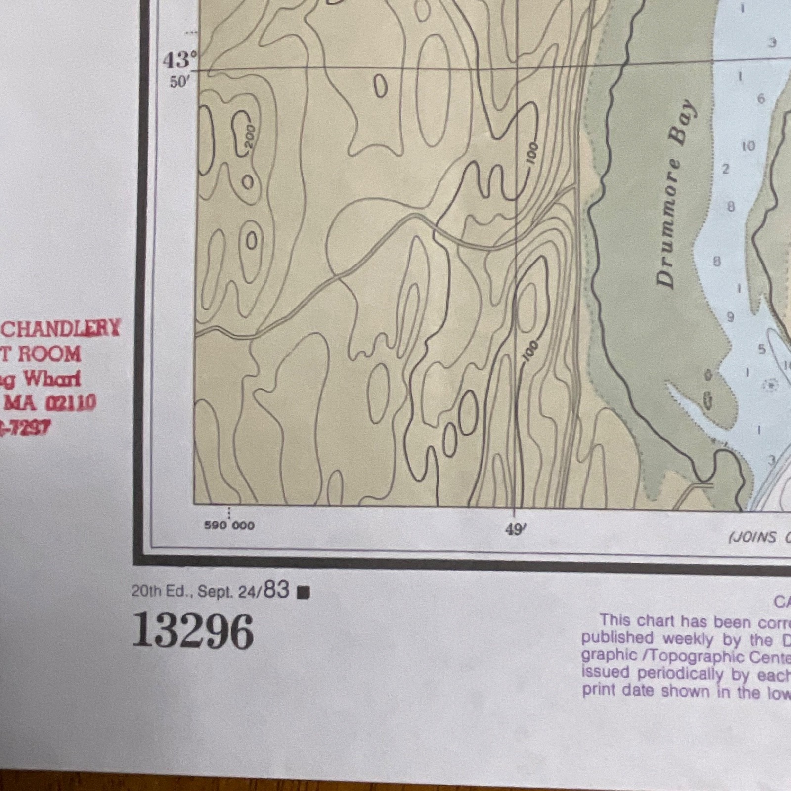
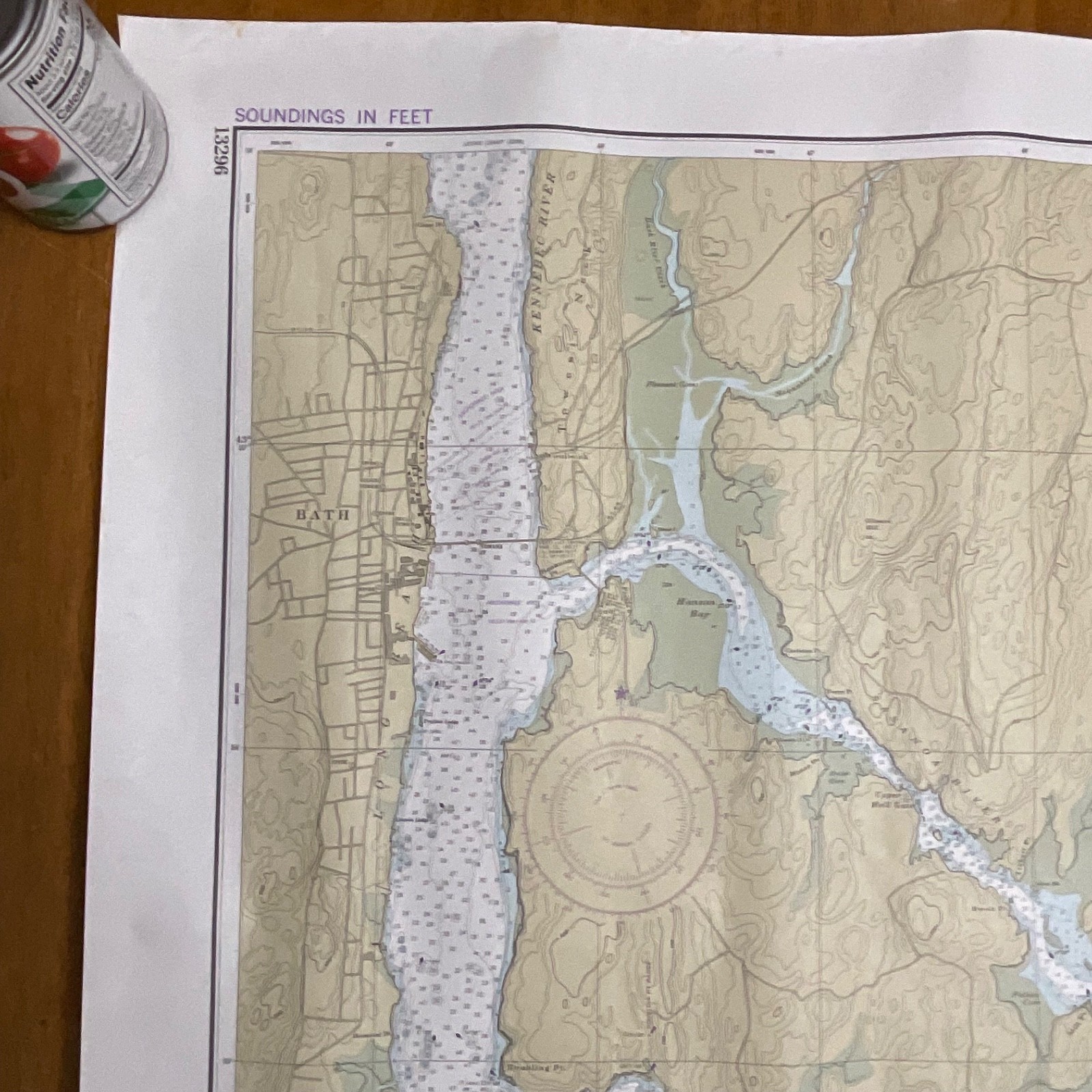
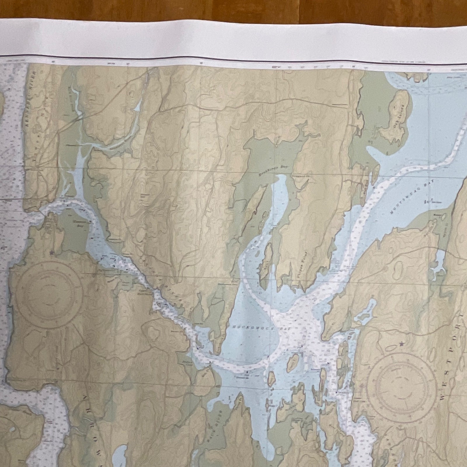
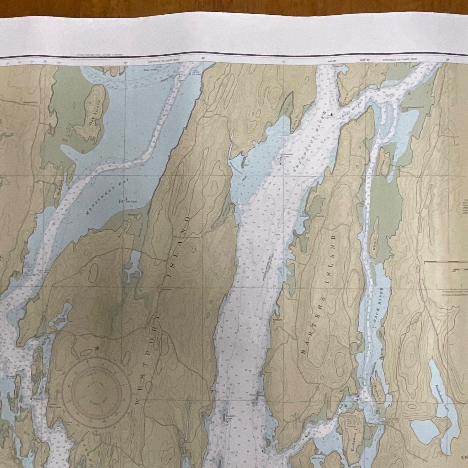
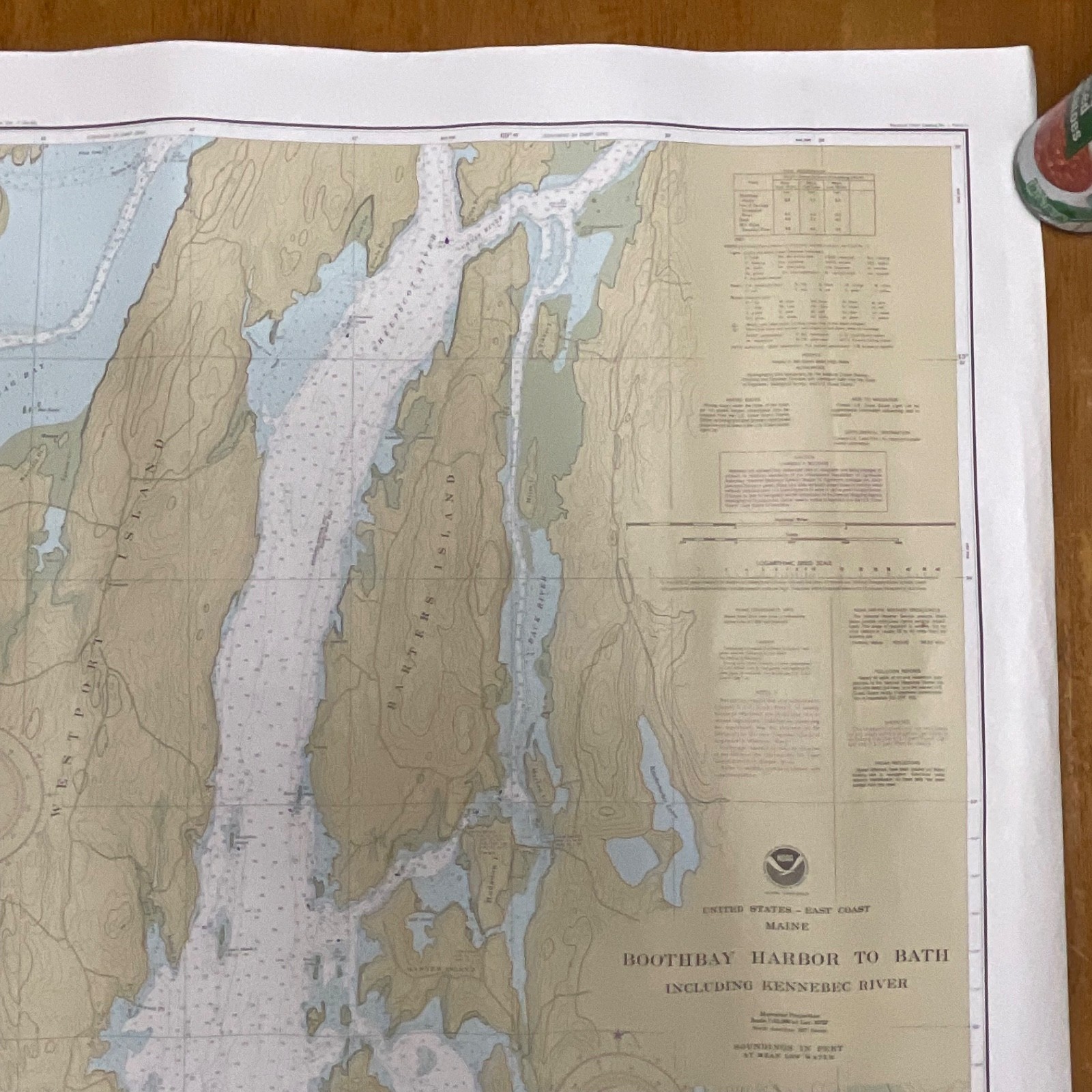
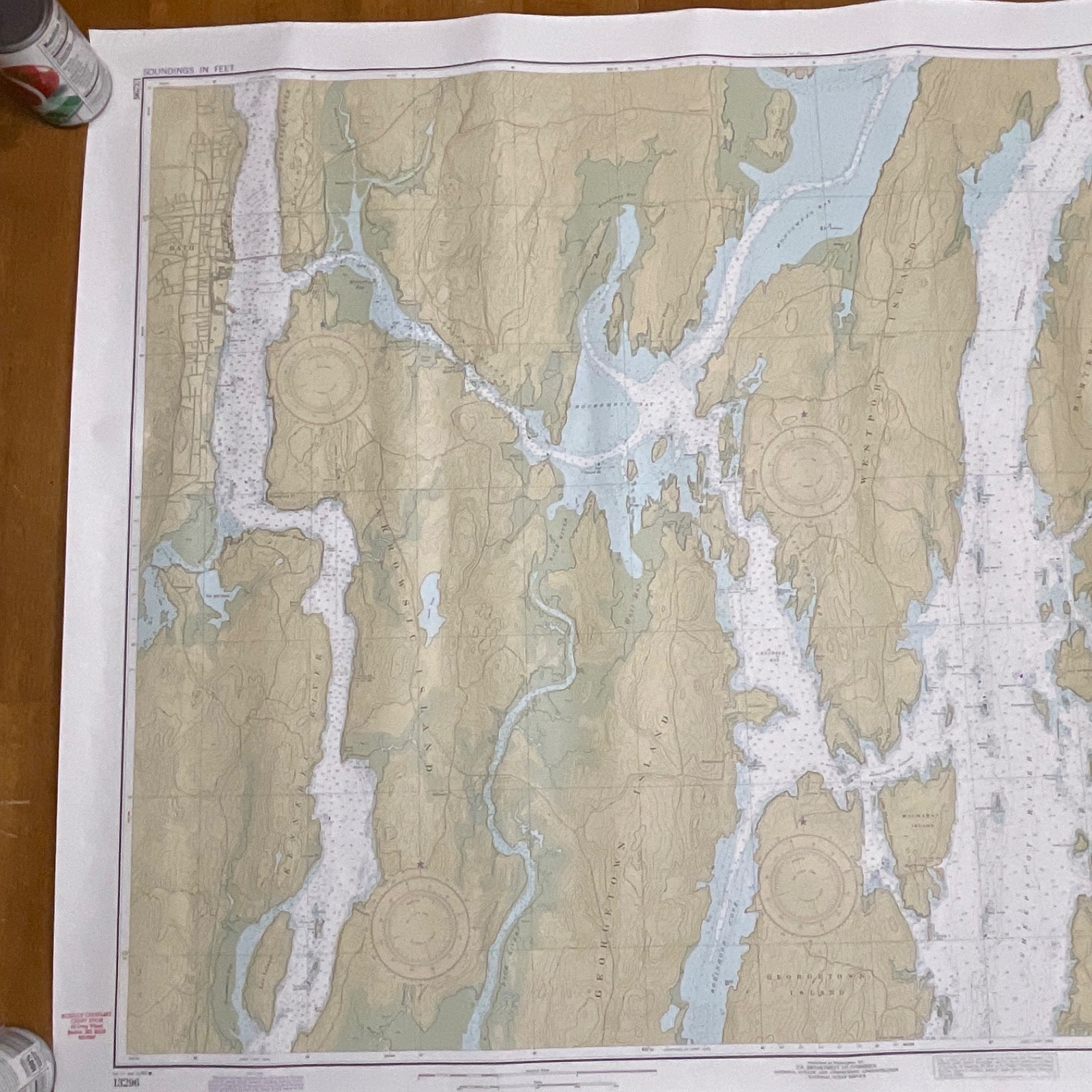
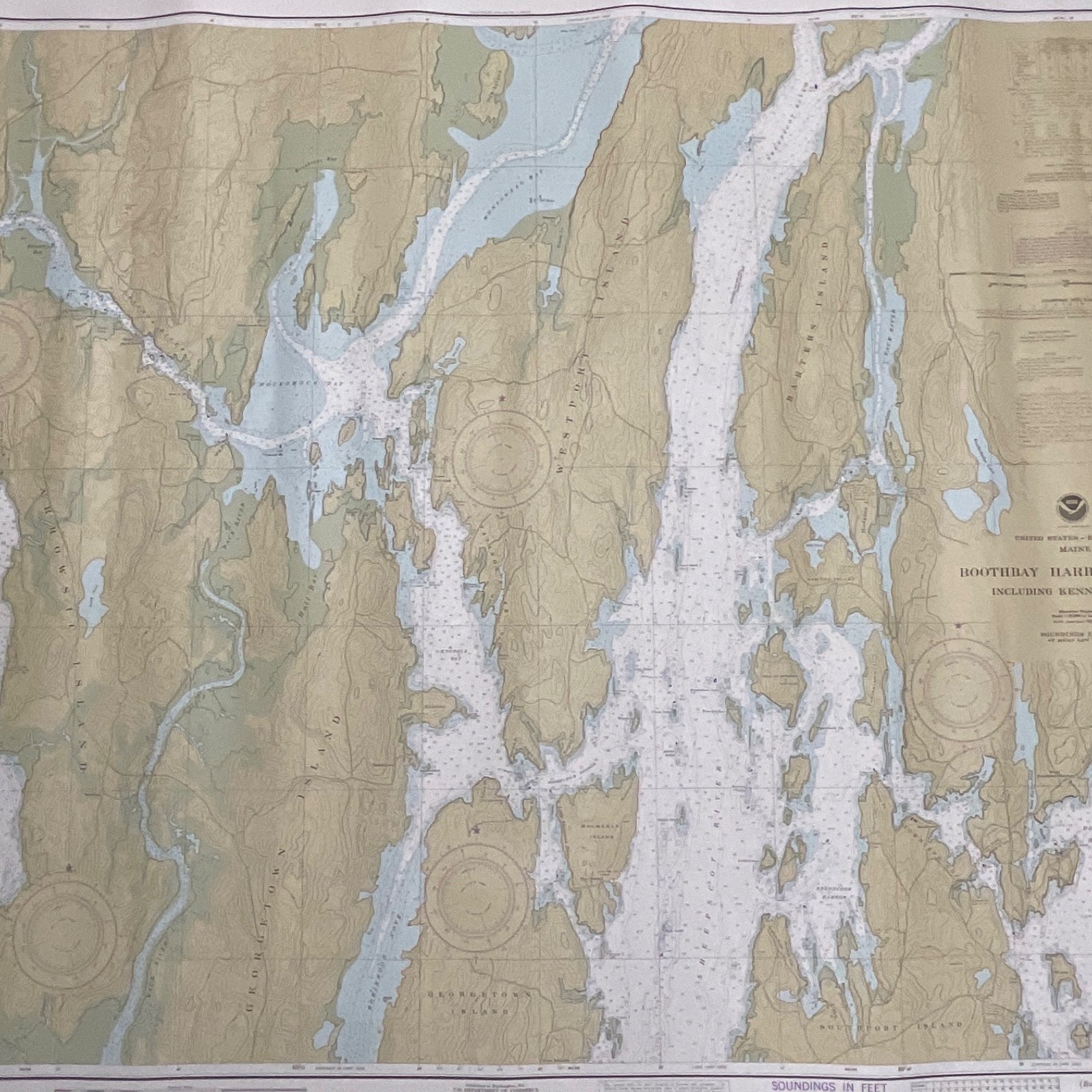
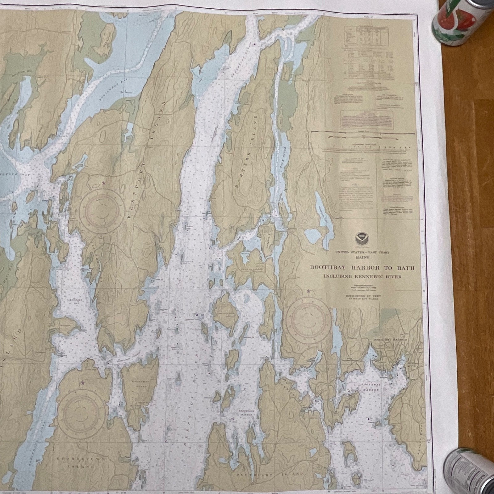
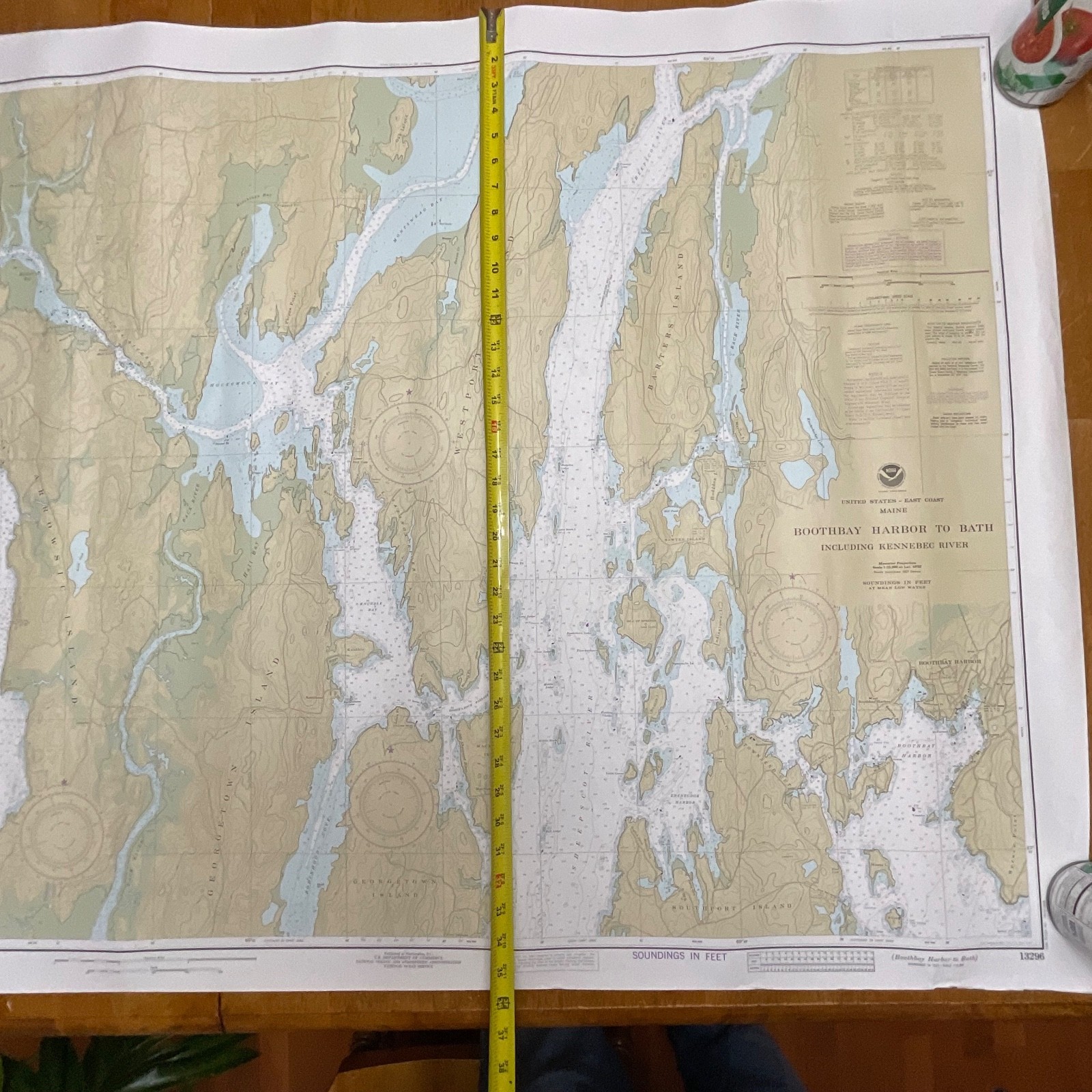
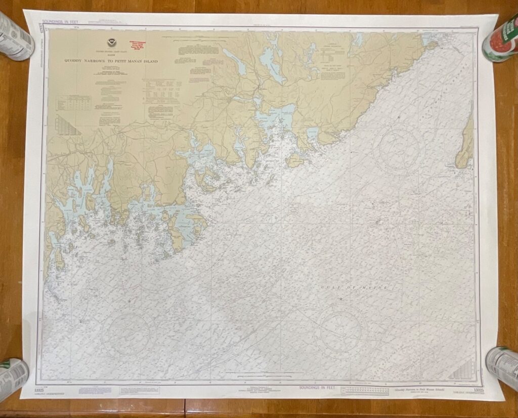
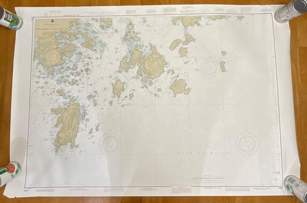
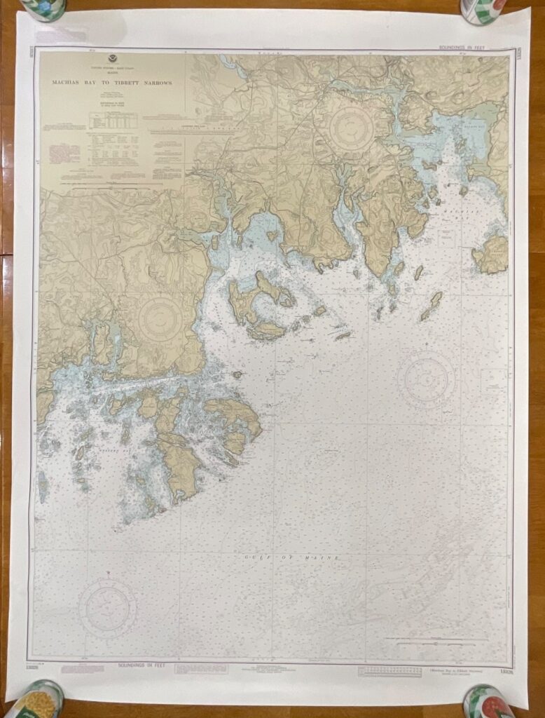
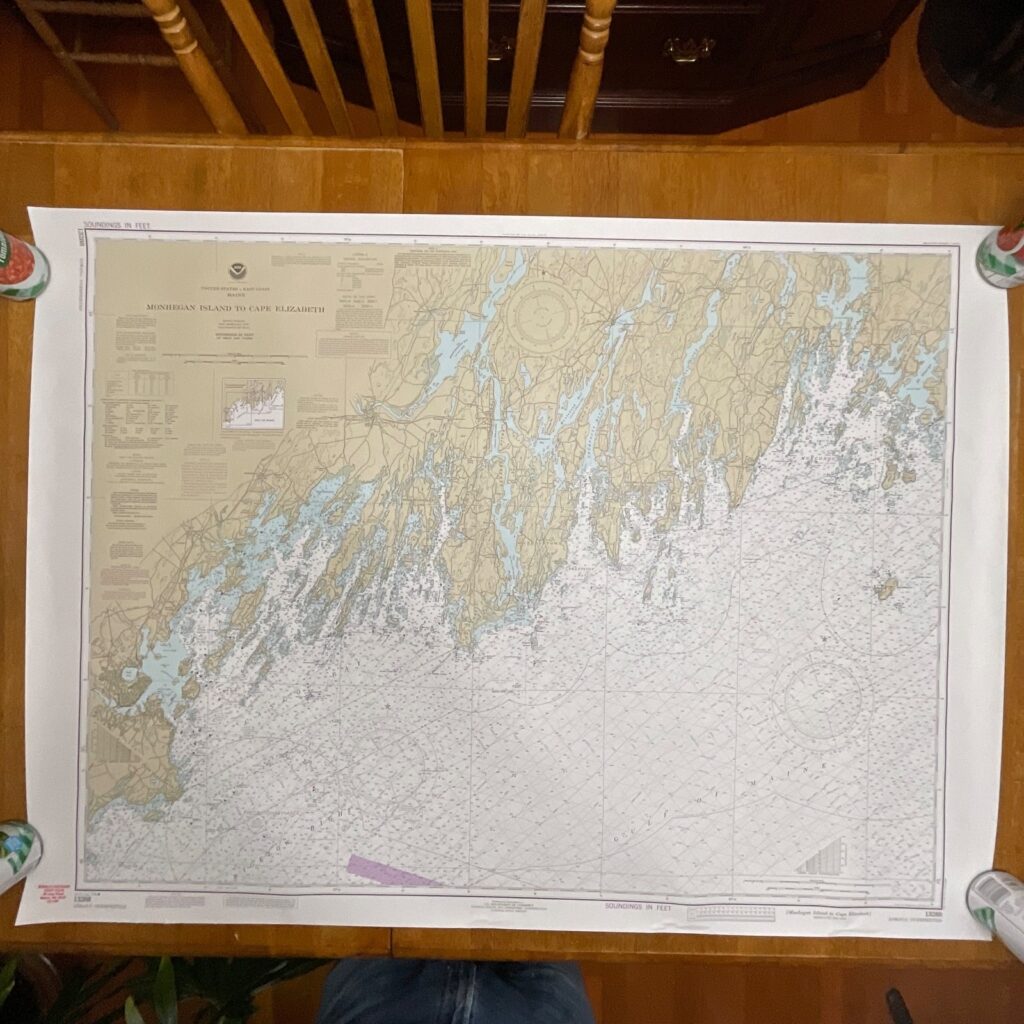
This is a vintage NOAA nautical chart titled Tibbett Narrows to Schoodic Island, Chart No. 13324, showing detailed coastal, depth, and topographic information for the Maine coastline. Printed in the 11th Edition dated January 1986, it retains the classic coloration and cartographic style typical of NOAA’s mid-20th-century mapping.
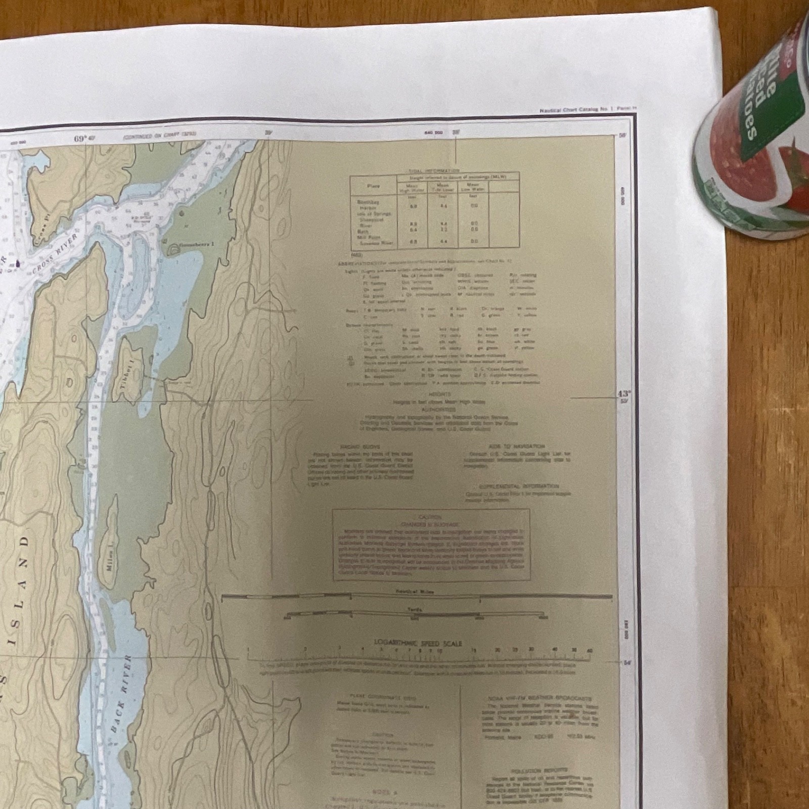
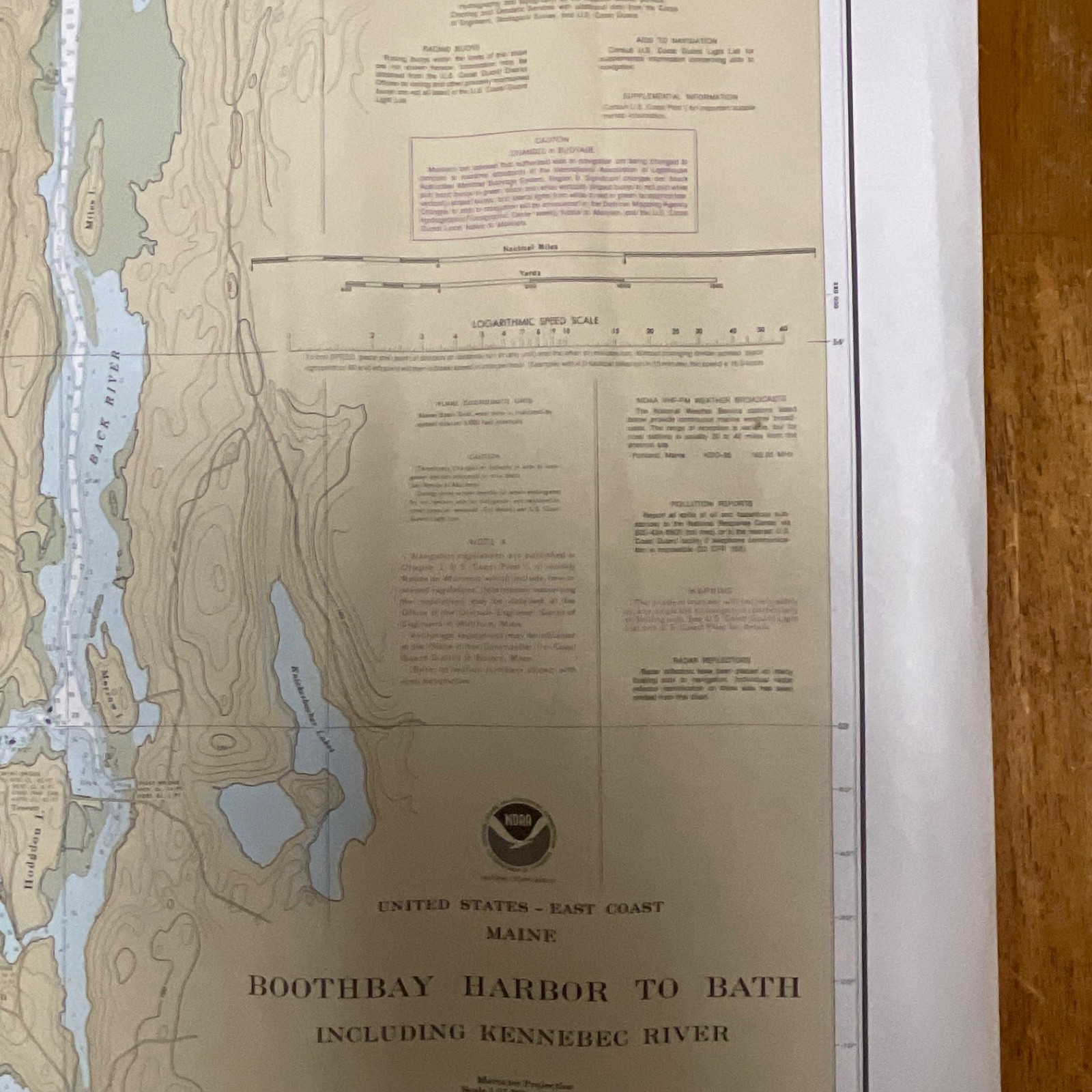
The chart features precise bathymetric soundings in feet, marked navigation aids, topographic contours, plane coordinate grid references, and authoritative NOAA publication details. The paper stock is the standard NOAA chart paper of the era and displays the full layout with margins, scale bars, caution notices, and inset data blocks. No maker marks beyond official NOAA printing are present. Minor edge waviness is visible along the border.
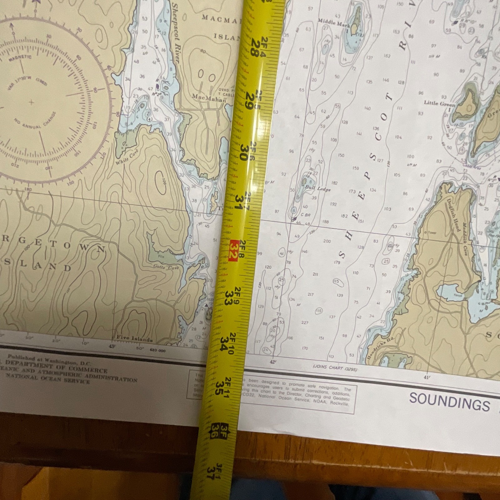
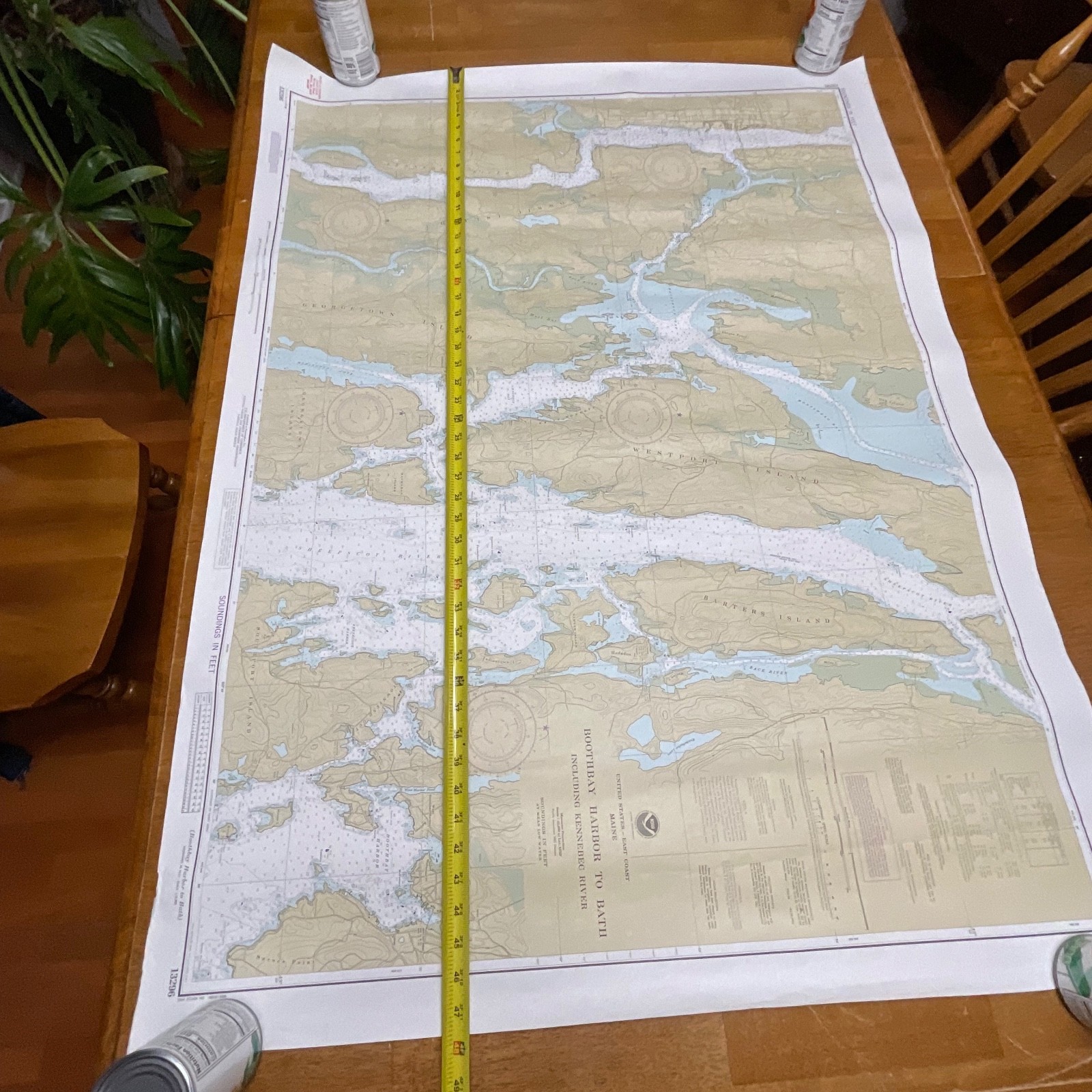
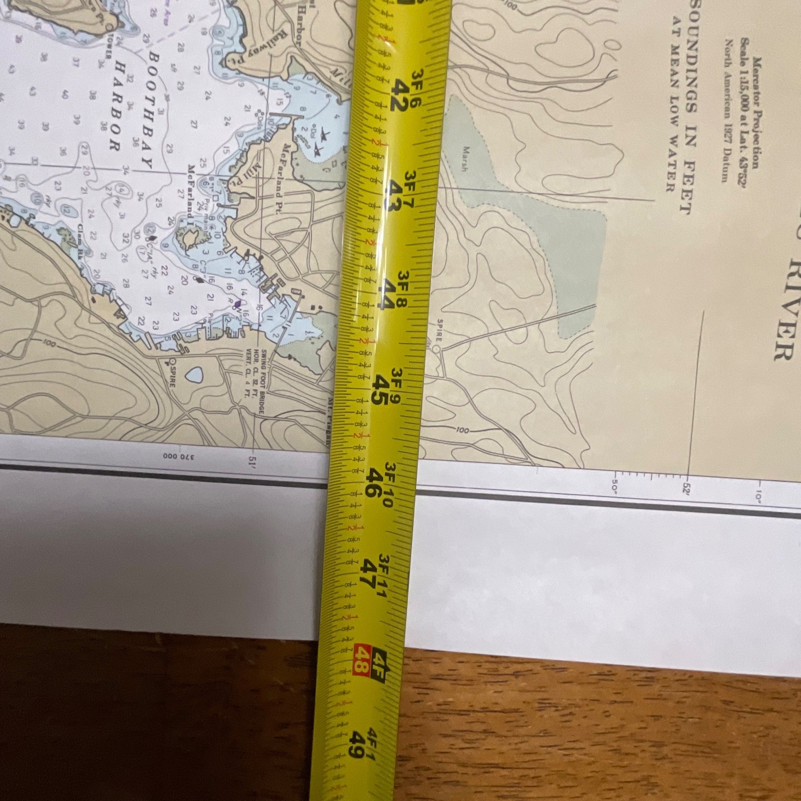
Measurements: approximately 34in wide x 48in tall.
Ships securely with protective packaging; prompt shipping excluding Federal Holidays.
Condition Description
Pre-owned vintage chart in good condition with light handling wear and minor edge creasing visible. No tears or major stains observed. Please review all photos for exact condition before purchase.
Item Specifics
• Category: Collectibles → Maps & Atlases → United States
• Type: Nautical chart / navigation chart
• Style: NOAA hydrographic map
• Material: Paper
• Color: Multicolor (tan, blue, black, red)
• Size: 34in x 48in
• Era: 1986 (11th Edition)
• Region: United States, Maine Coast
• Brand/Signature: NOAA – National Oceanic and Atmospheric Administration
• Country/Region of Manufacture: USA
• Chart Number: 13324
• UPC: Not visible / not applicable

Reviews
There are no reviews yet.