

Description
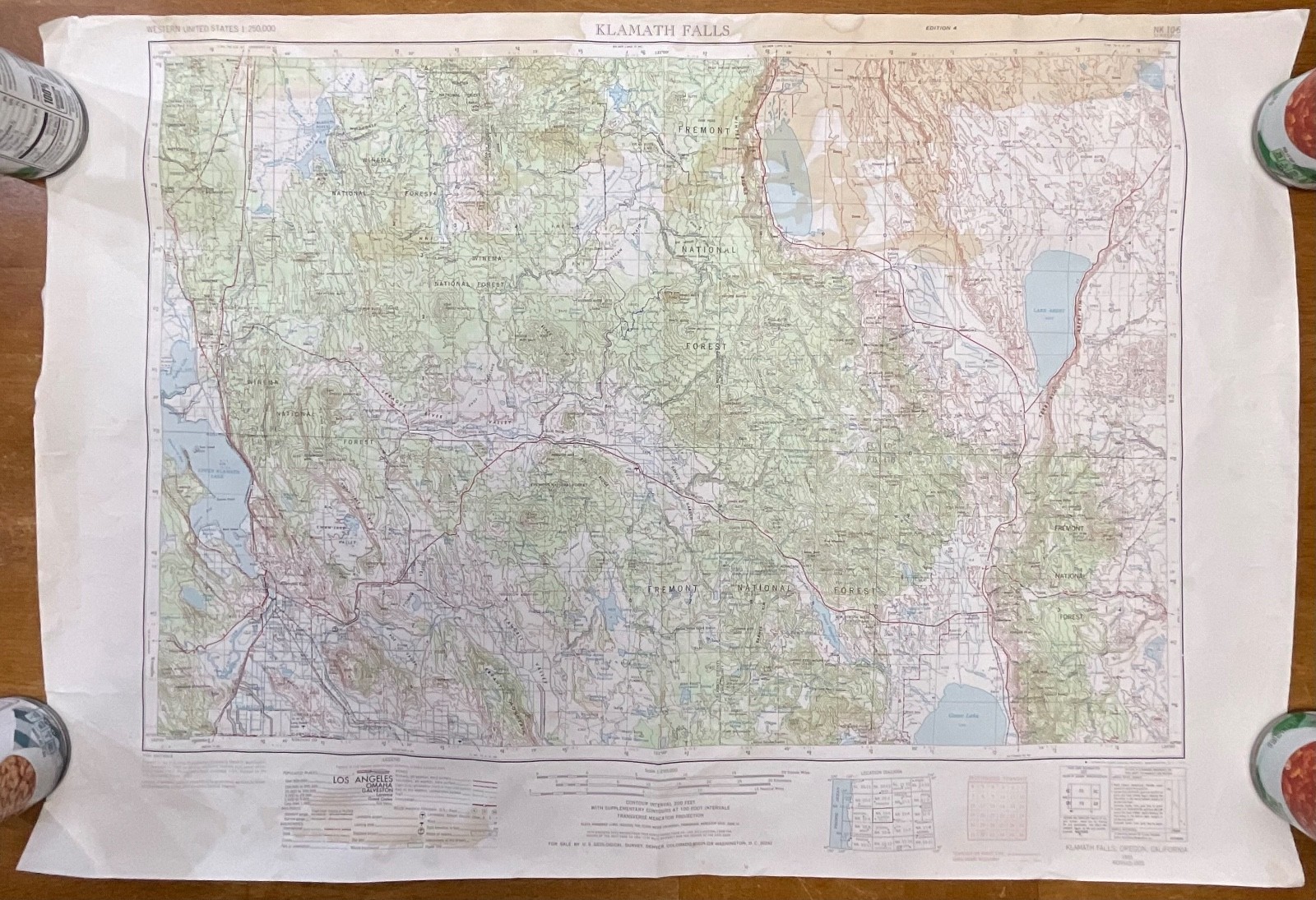
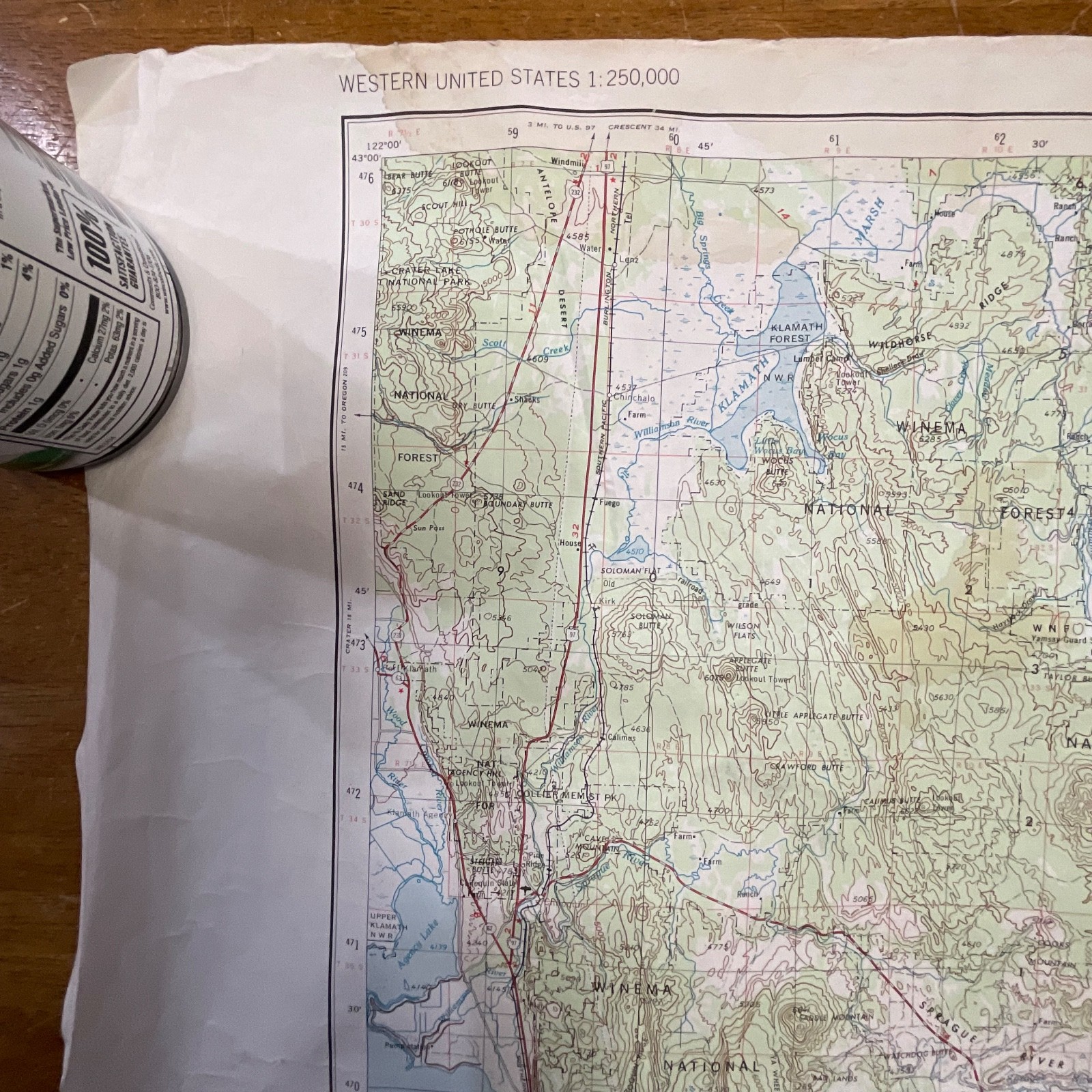
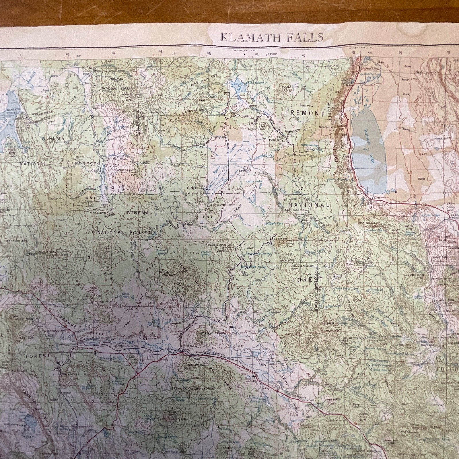
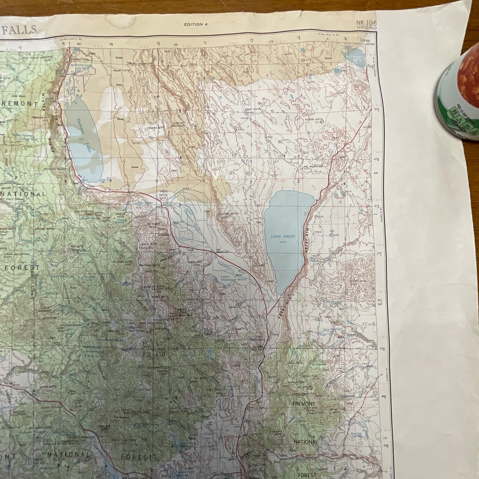
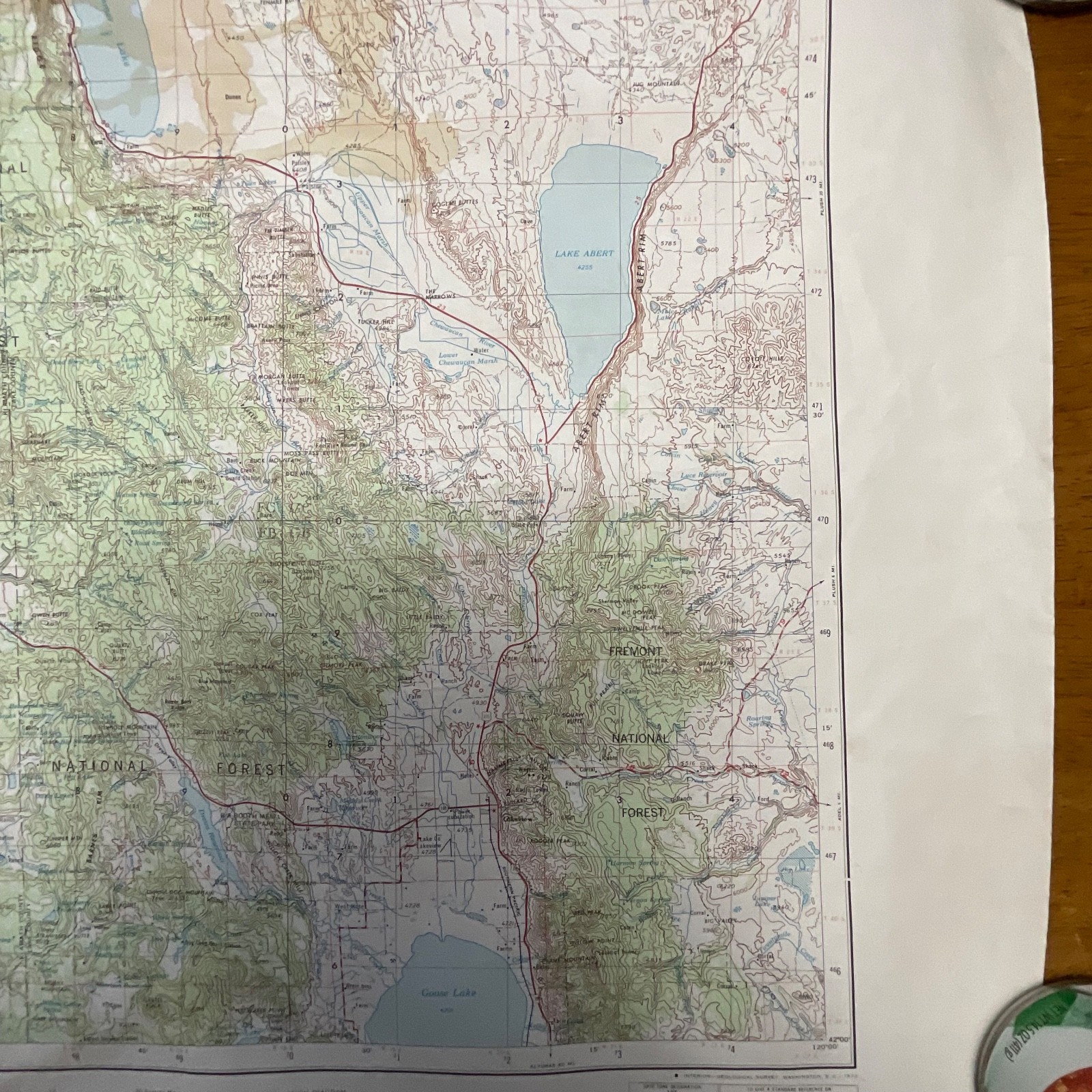
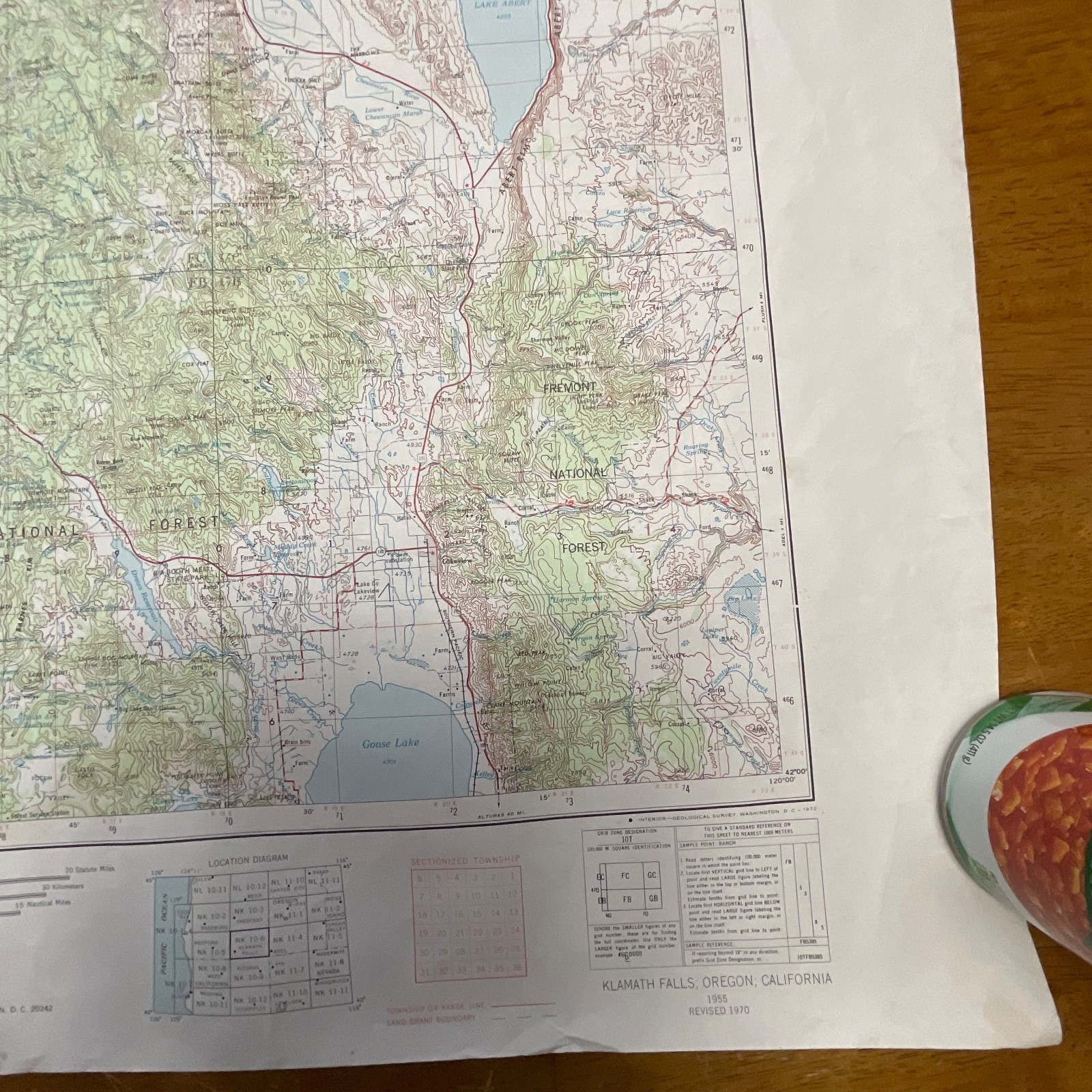
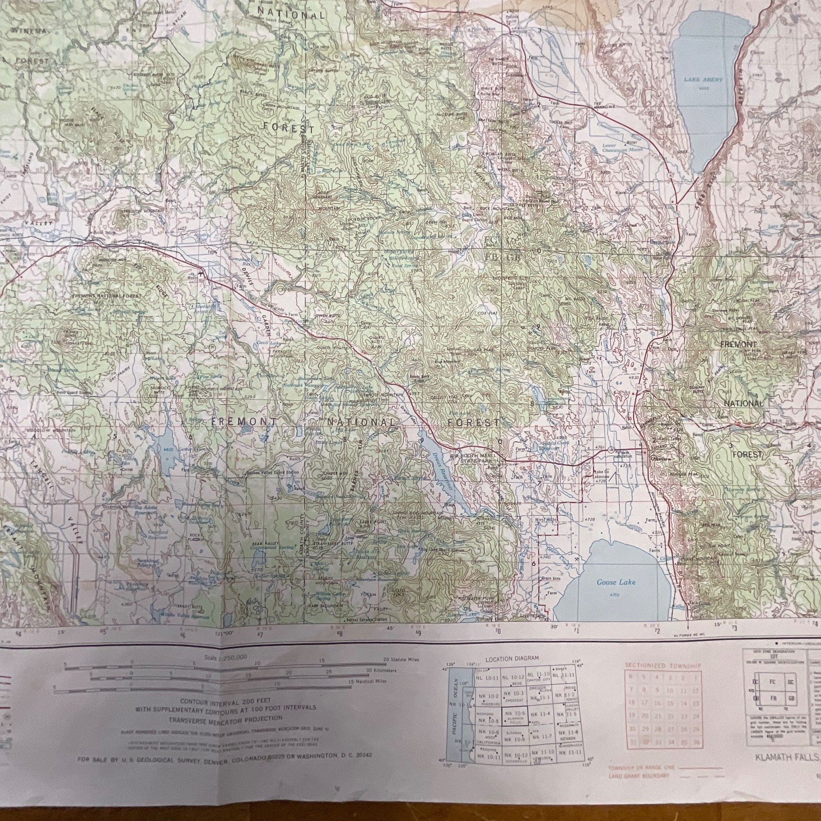
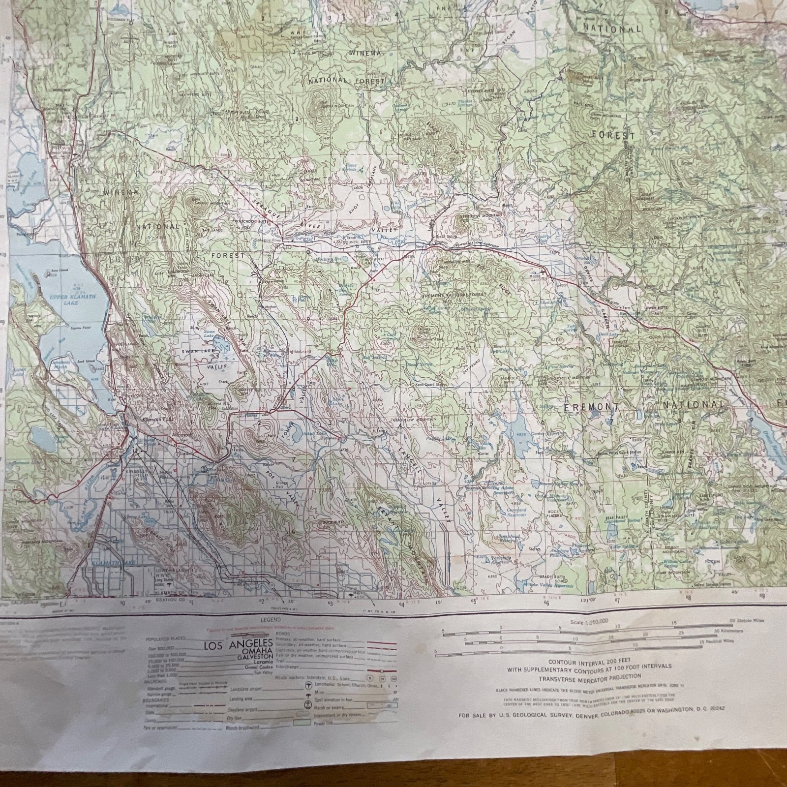
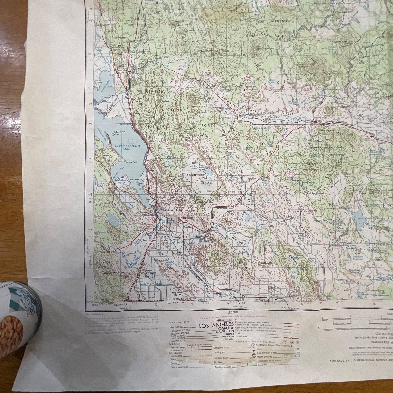
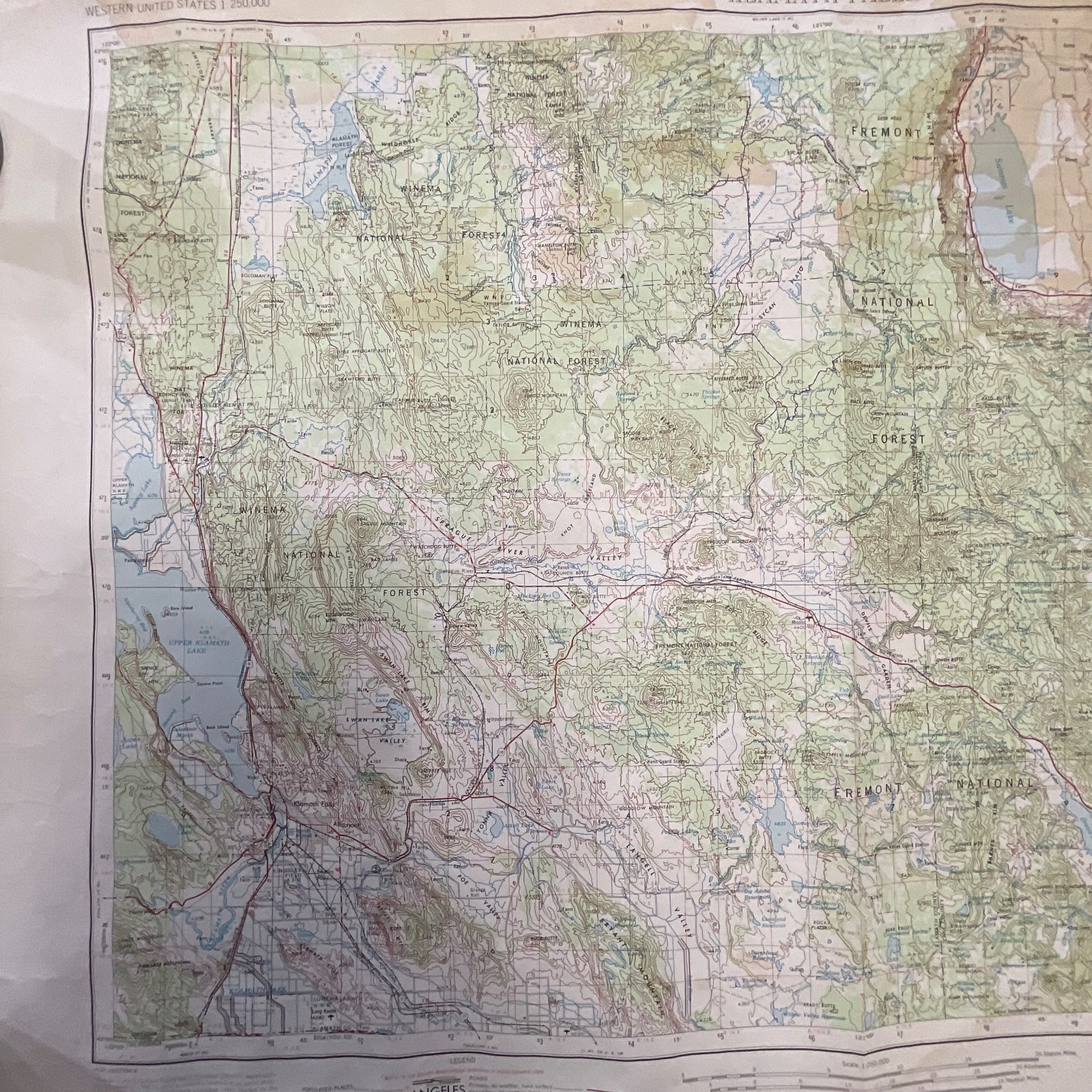
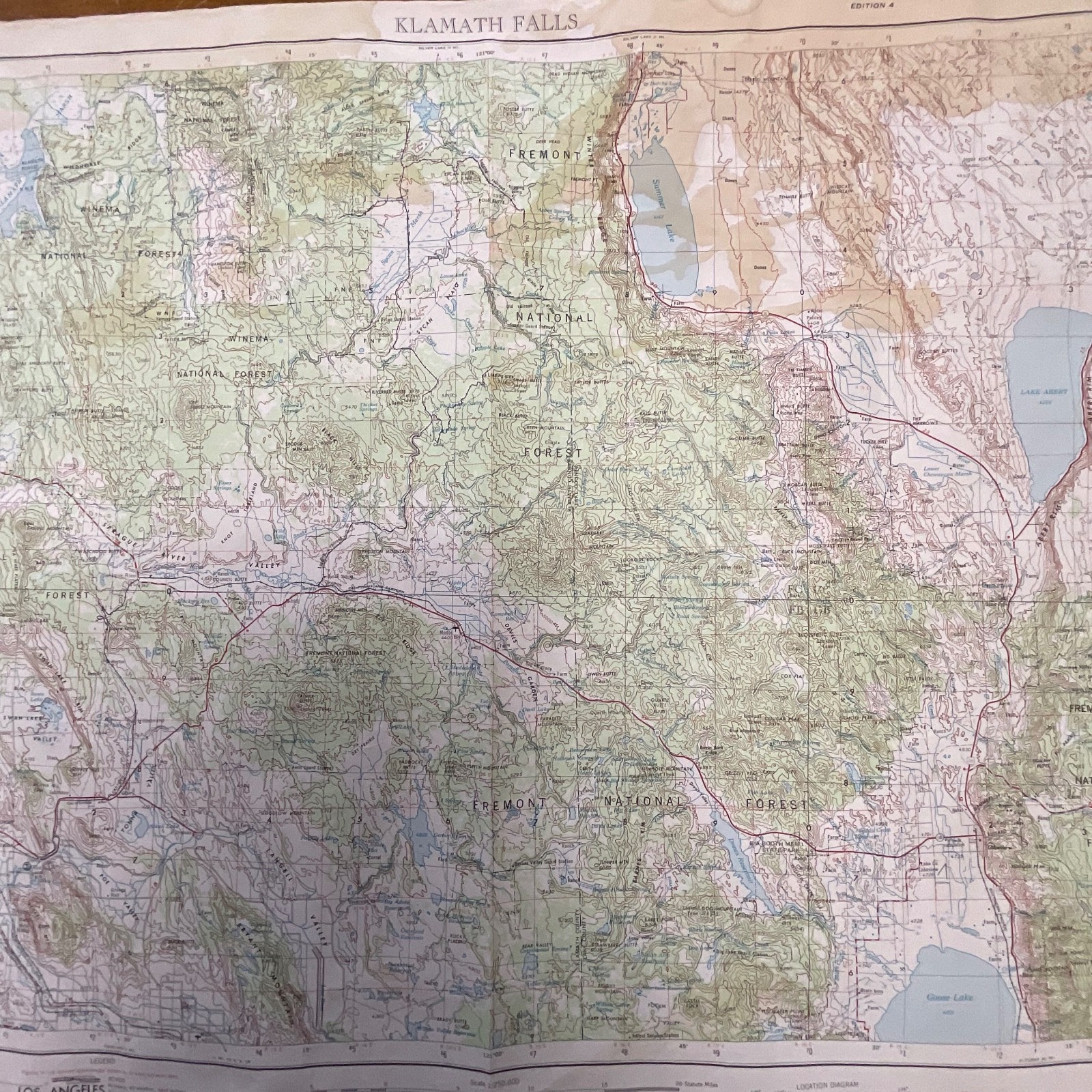
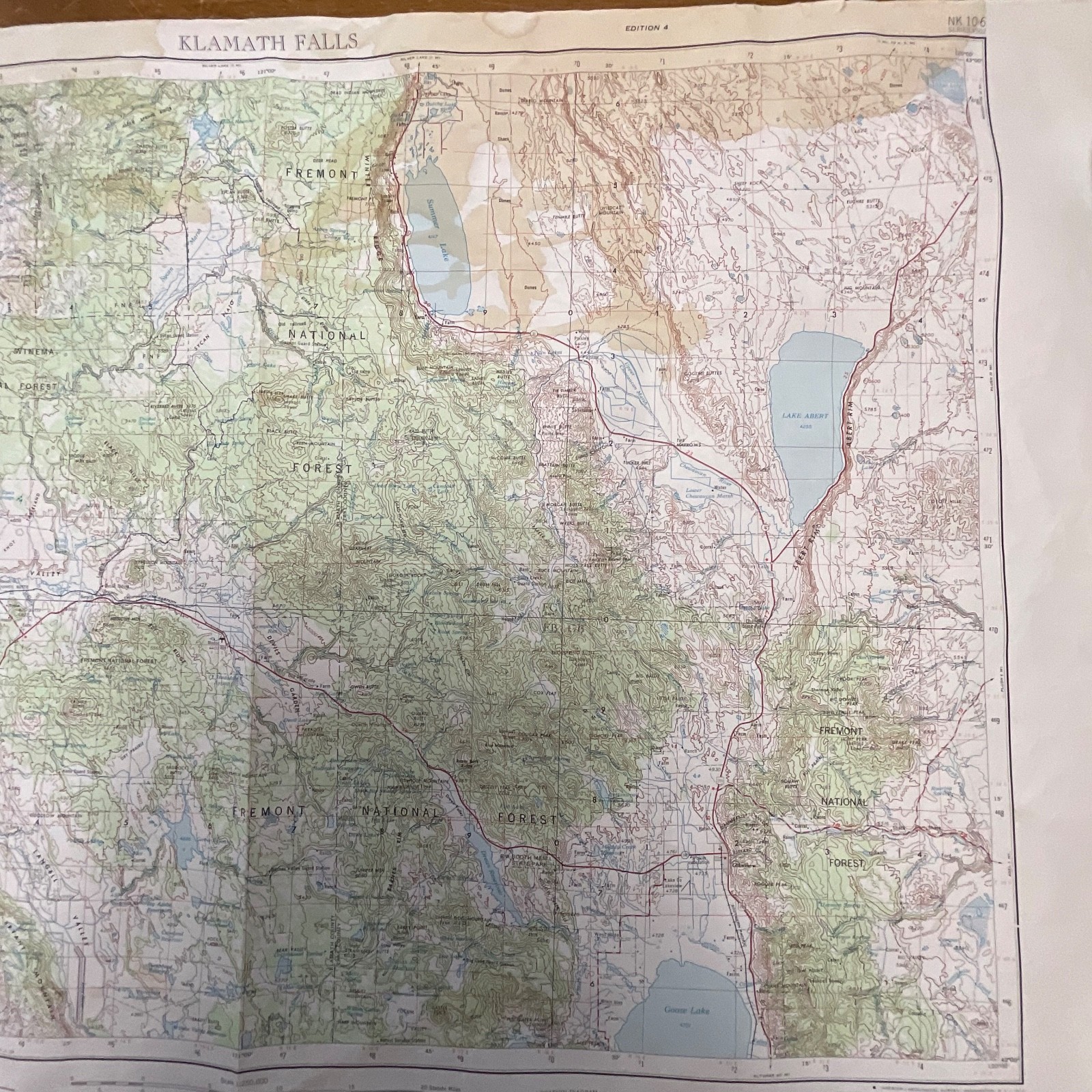
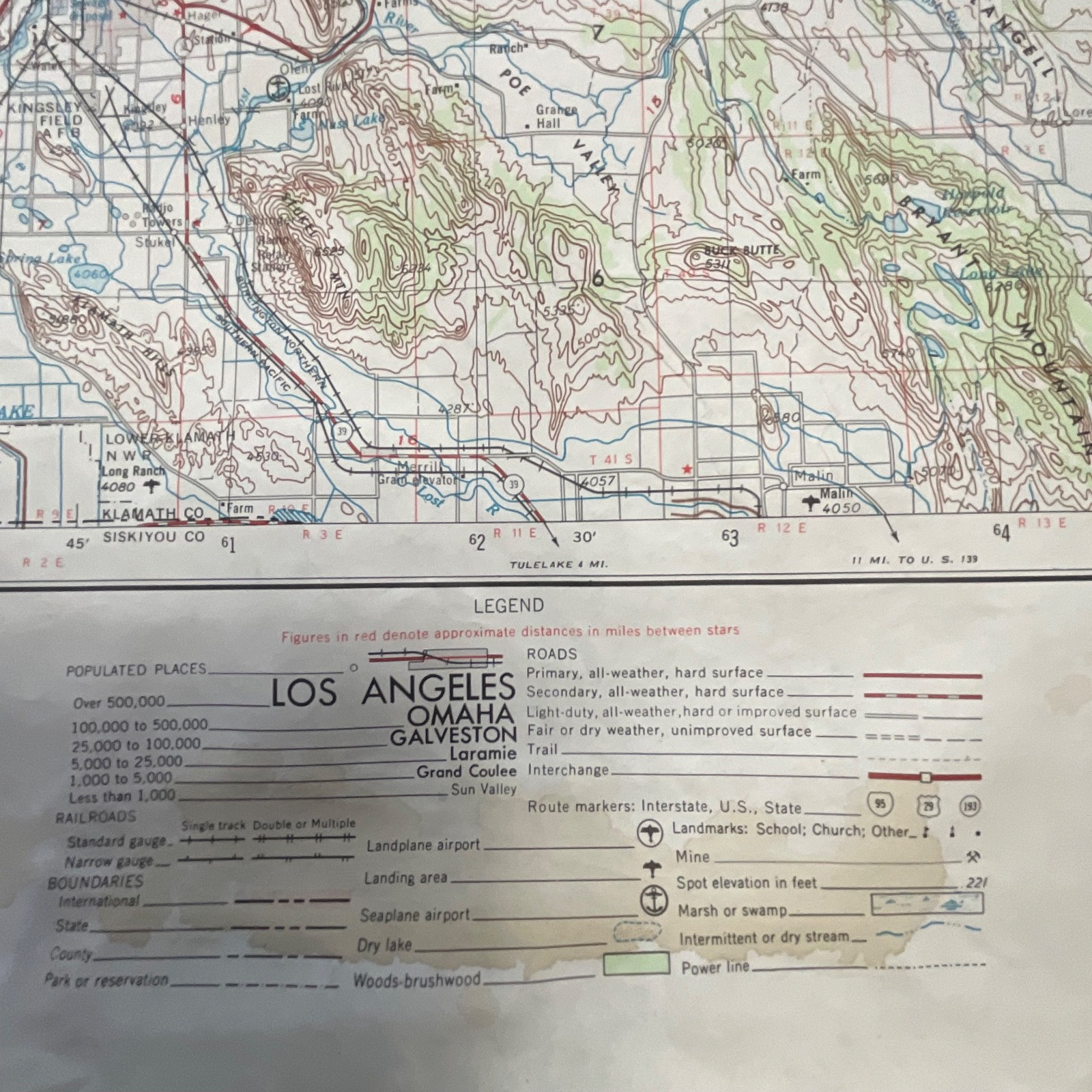
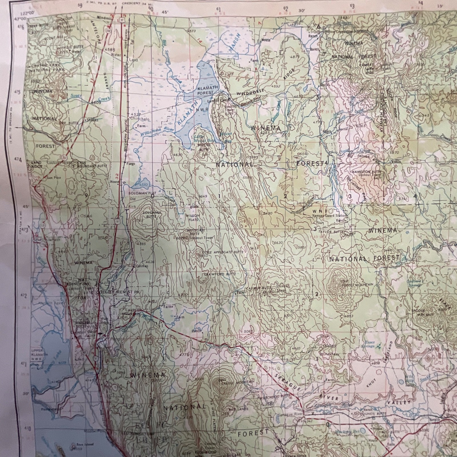
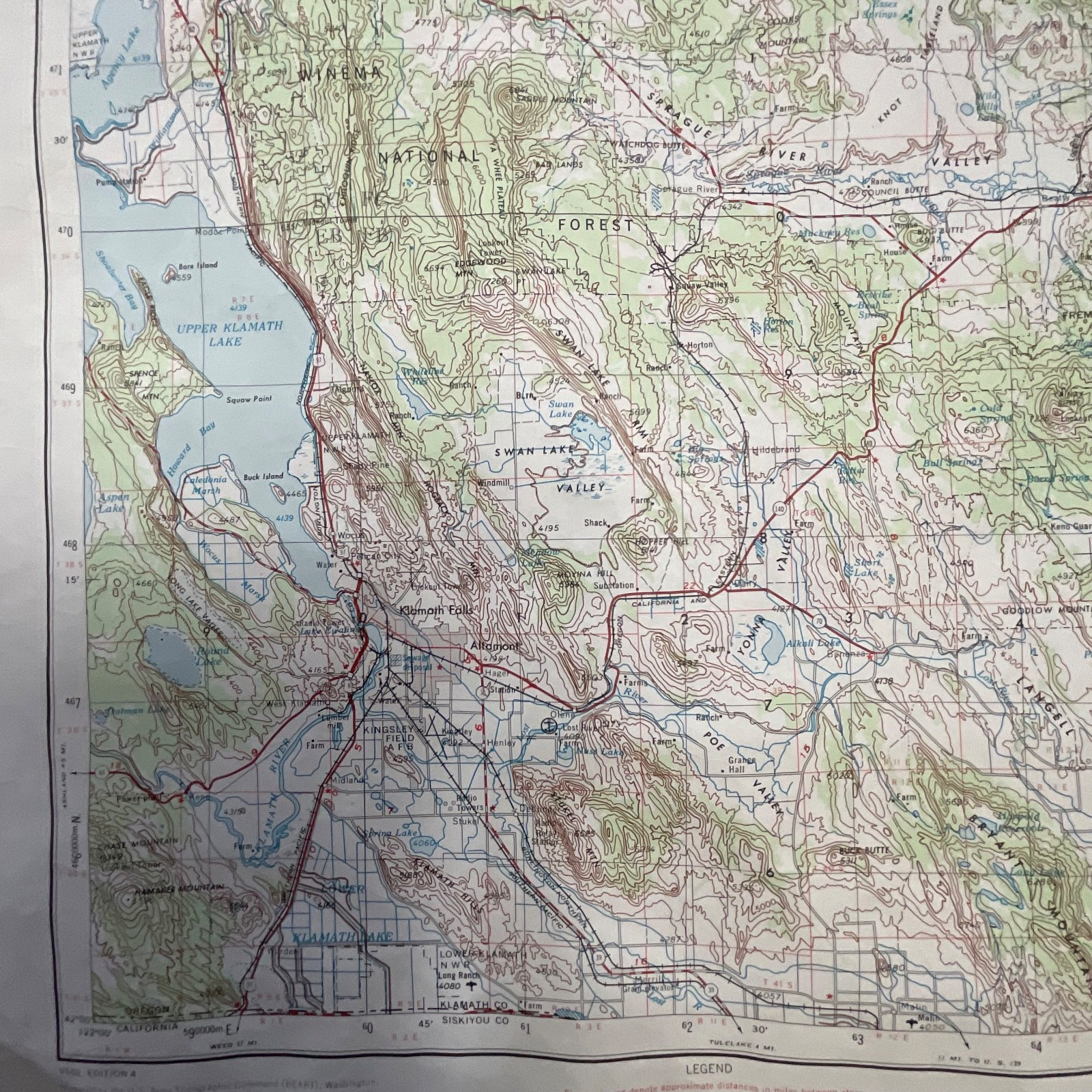
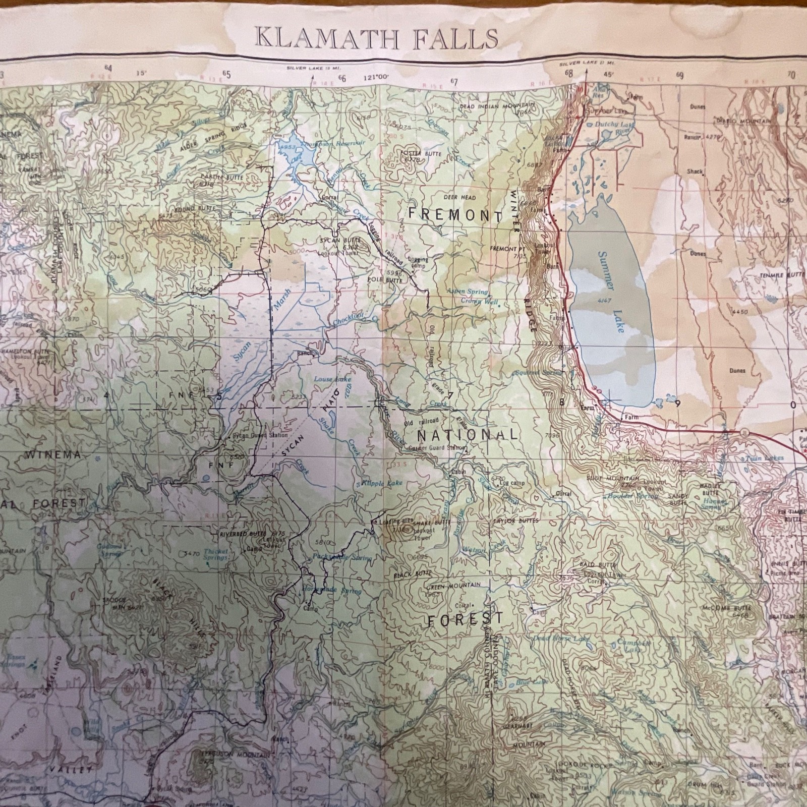
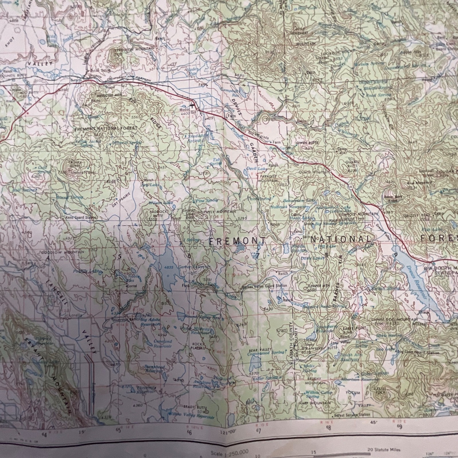
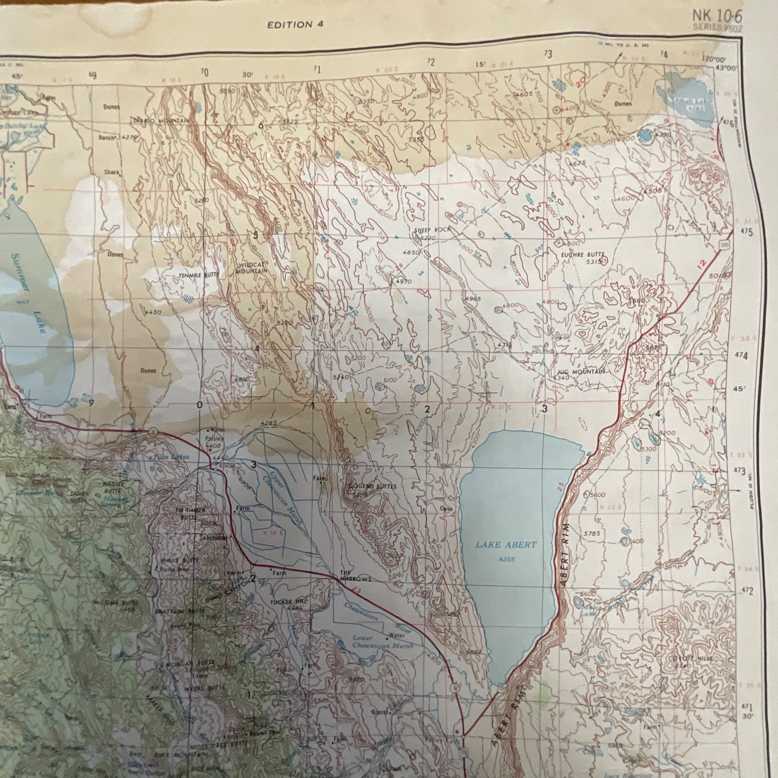
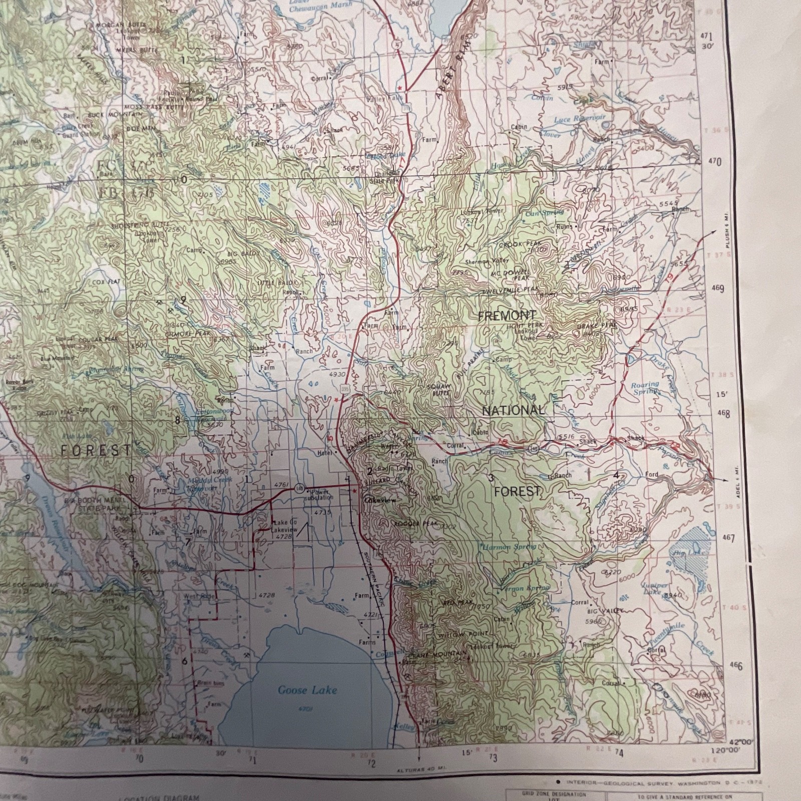
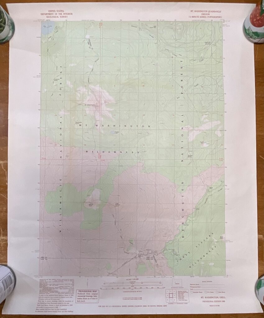
This is an original 1972 U.S. Geological Survey topographic map of the Klamath Falls region spanning southern Oregon and northern California. It features detailed terrain shading, elevation contours, lakes, roads, and national forest boundaries typical of mid-century USGS cartography.
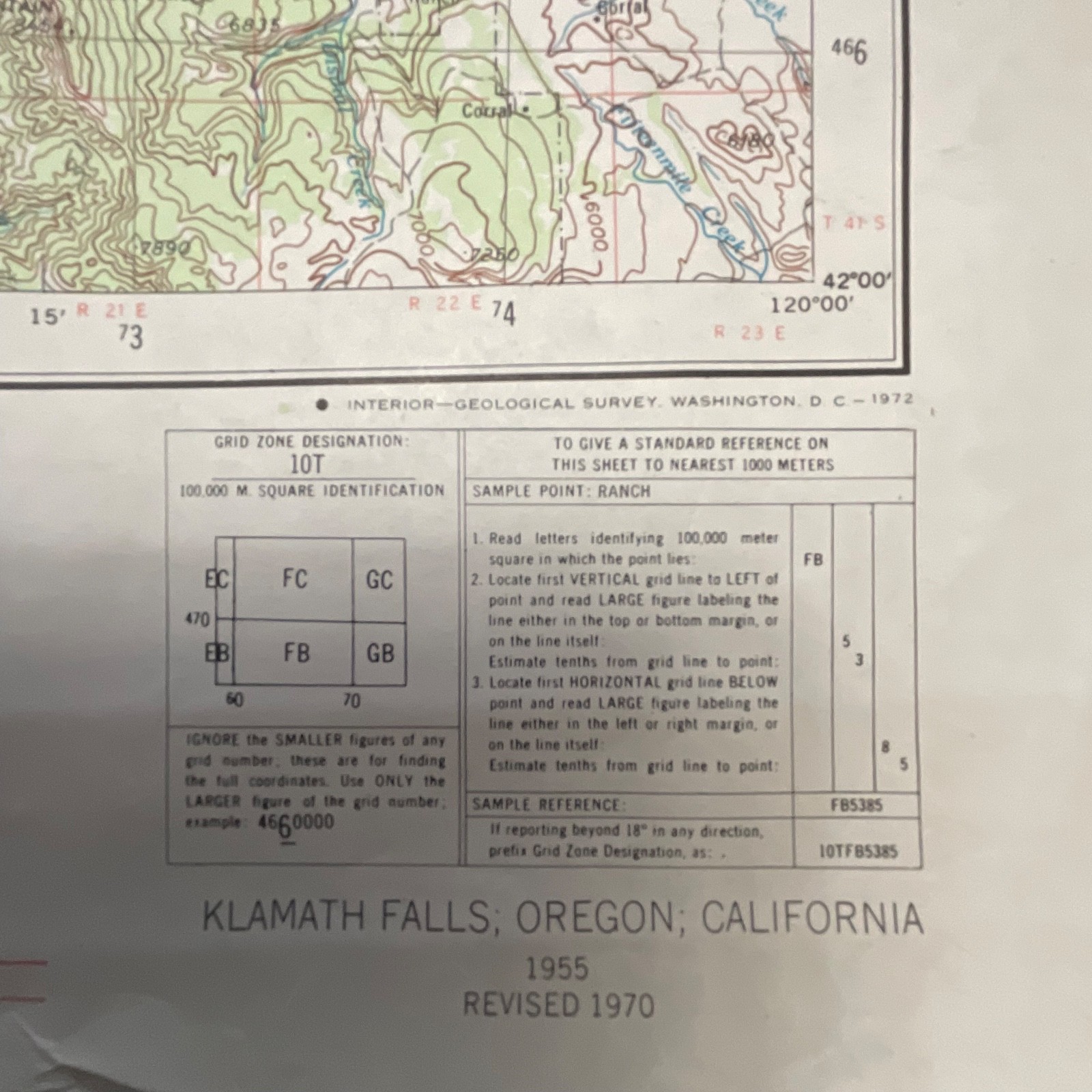
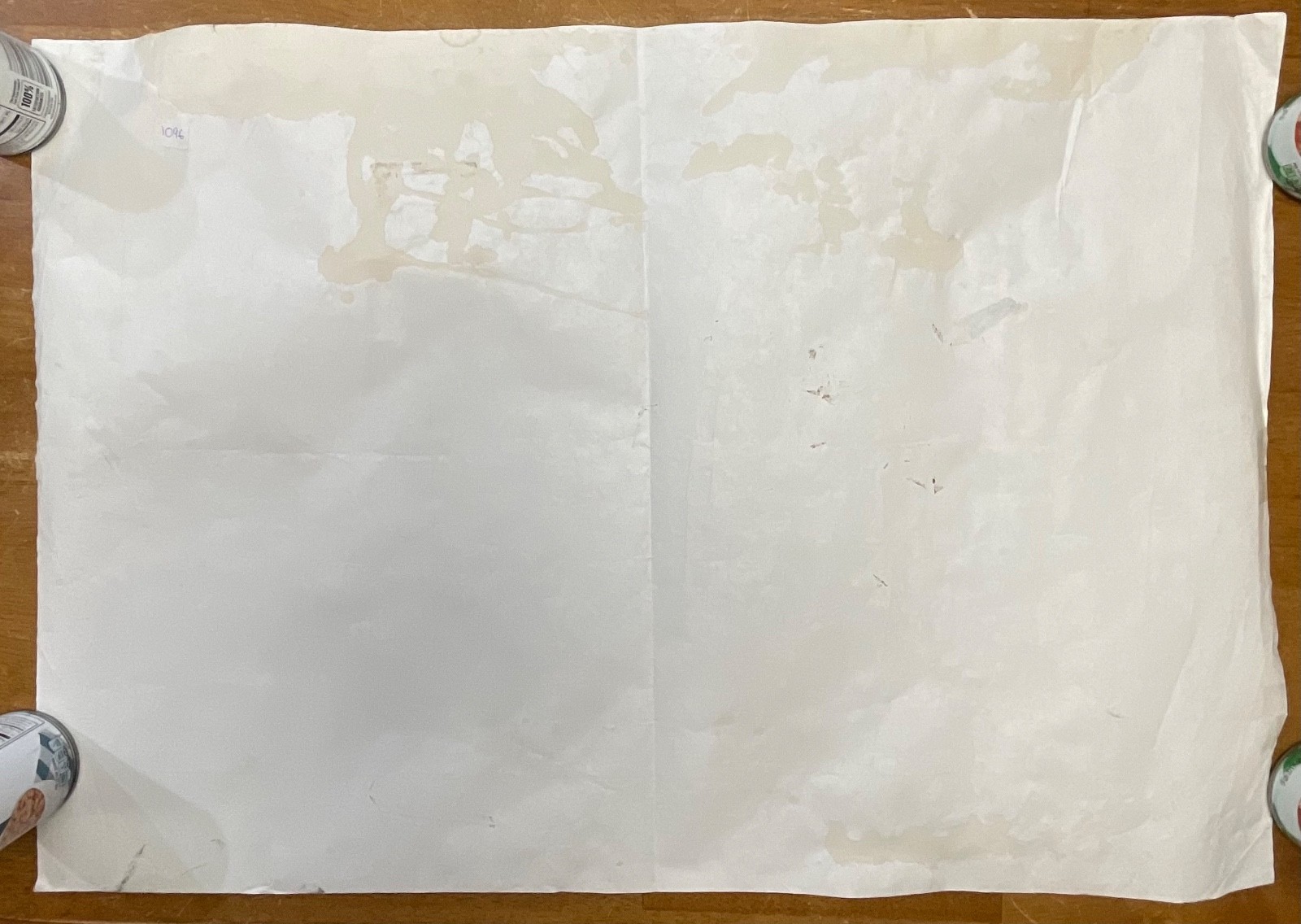
Printed on lightweight survey paper, the map shows the Klamath Falls area at a 1:250,000 scale and includes Fremont National Forest, Goose Lake, Upper Klamath Lake, and surrounding geographic features. Visible notes confirm the revision year of 1970 and original compilation year of 1955. The sheet displays age-related wear, including coffee-colored staining, edge creases, and discoloration on the reverse side.
Measurements: approximately 27in wide x 22in tall.
Ships securely with protective packaging; prompt shipping excluding Federal Holidays.
Condition Description
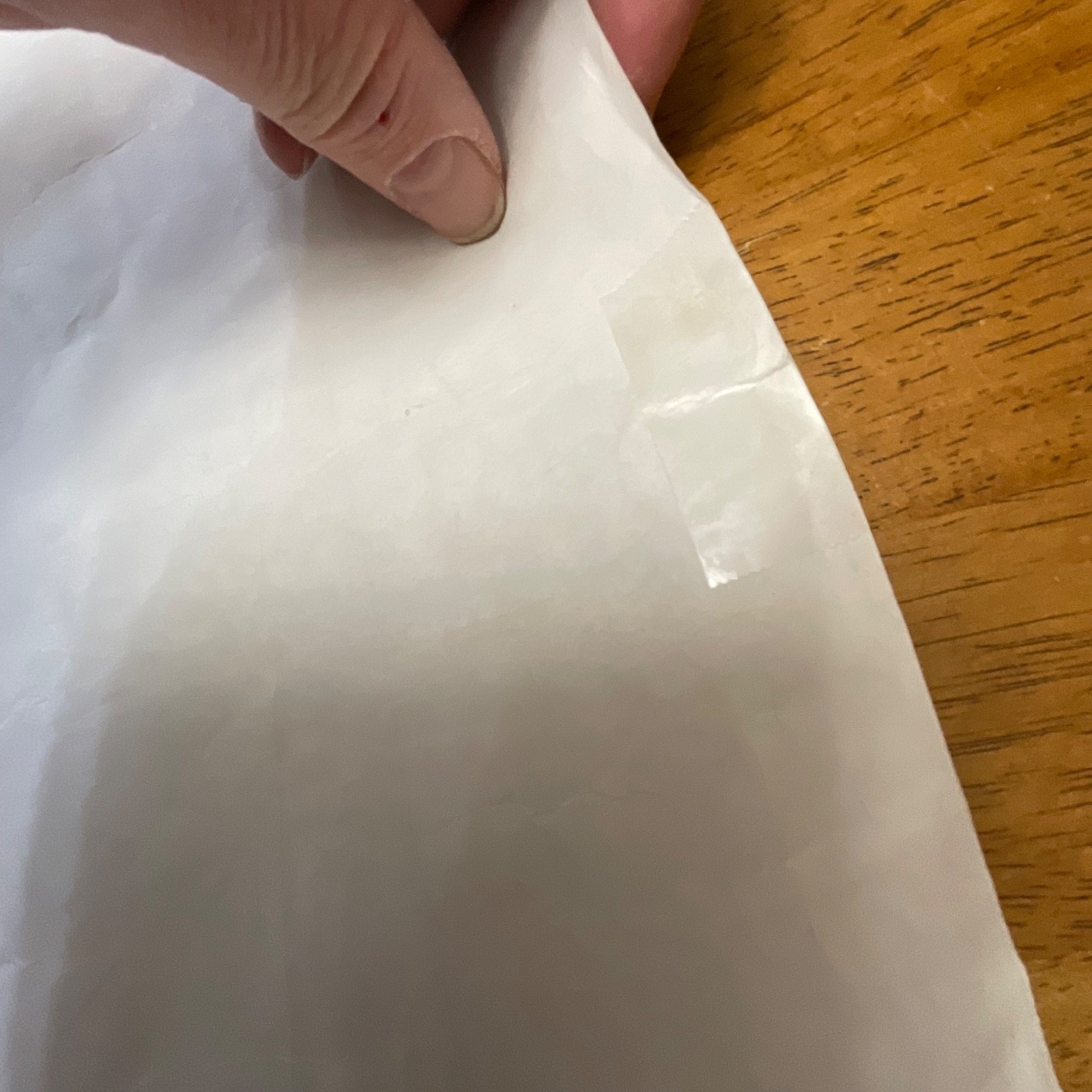
Vintage condition with clear signs of wear including coffee-tone stains, creasing, wrinkling, tapping of tears on back and discoloration on the back. Edges show handling wear. Please review all photos for exact condition before purchase.
Item Specifics
• Category: Maps / Topographical Maps / USGS
• Type: Topographic Map
• Style: Mid-Century USGS Cartography
• Material: Paper
• Color: Multicolor (as issued)
• Size: 27in x 22in
• Era: 1972 (Revised 1970; Compiled 1955)
• Brand/Signature: U.S. Geological Survey
• Region: Oregon / California (Klamath Falls Quadrangle)
• Country of Manufacture: United States
• UPC: Not present
Reviews
There are no reviews yet.