

Description
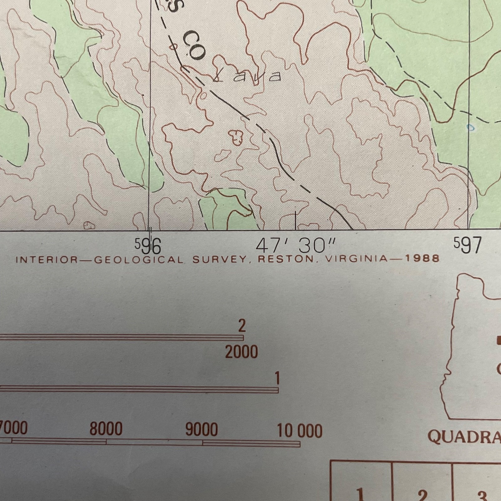
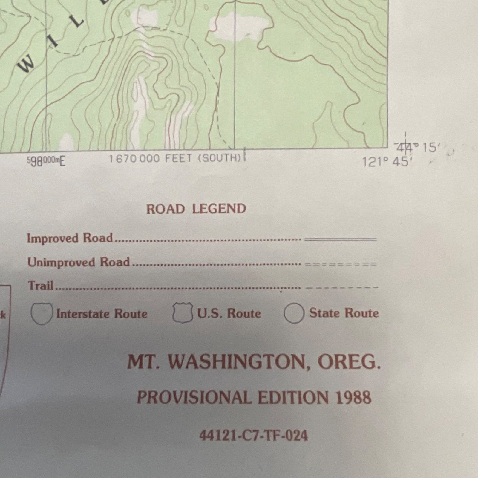
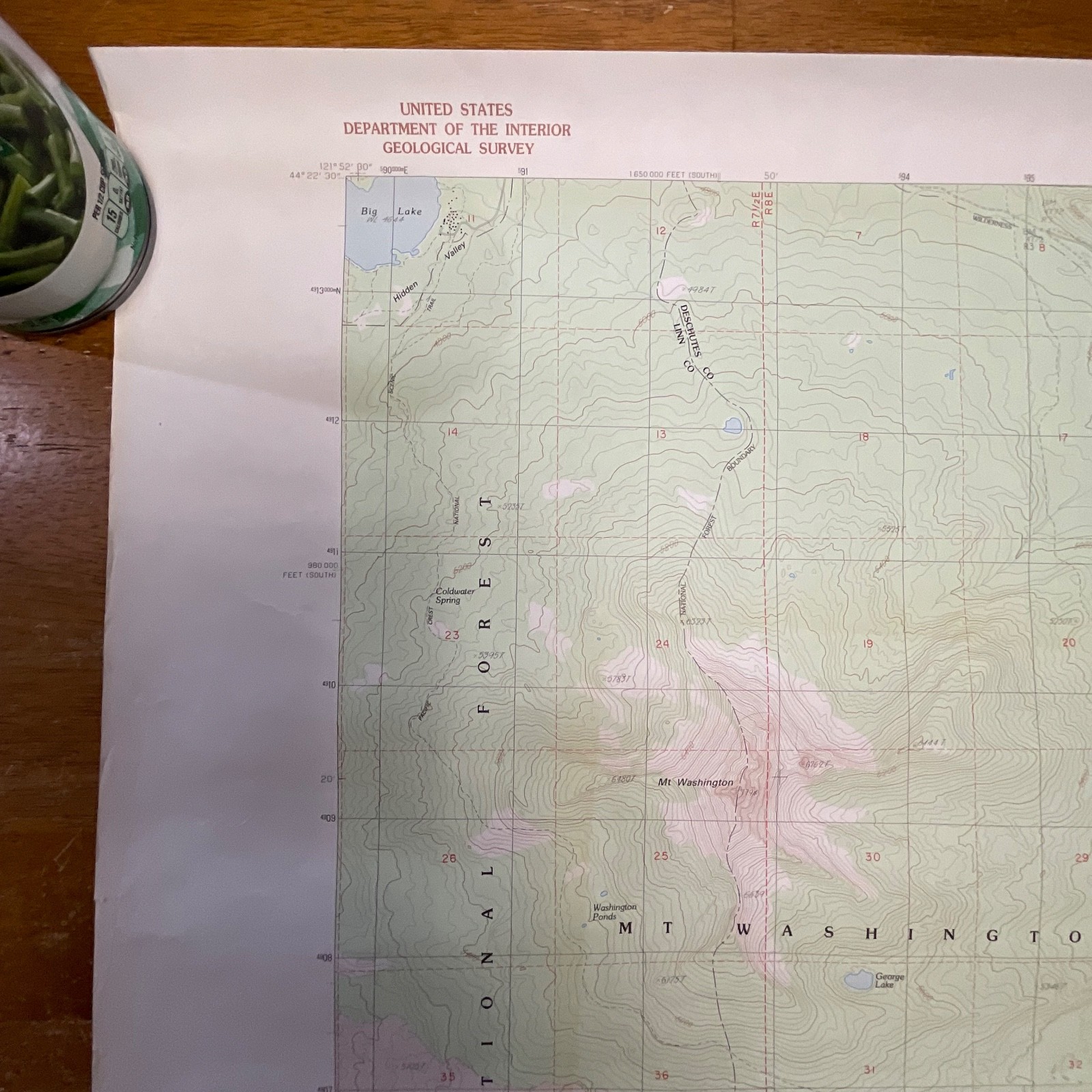
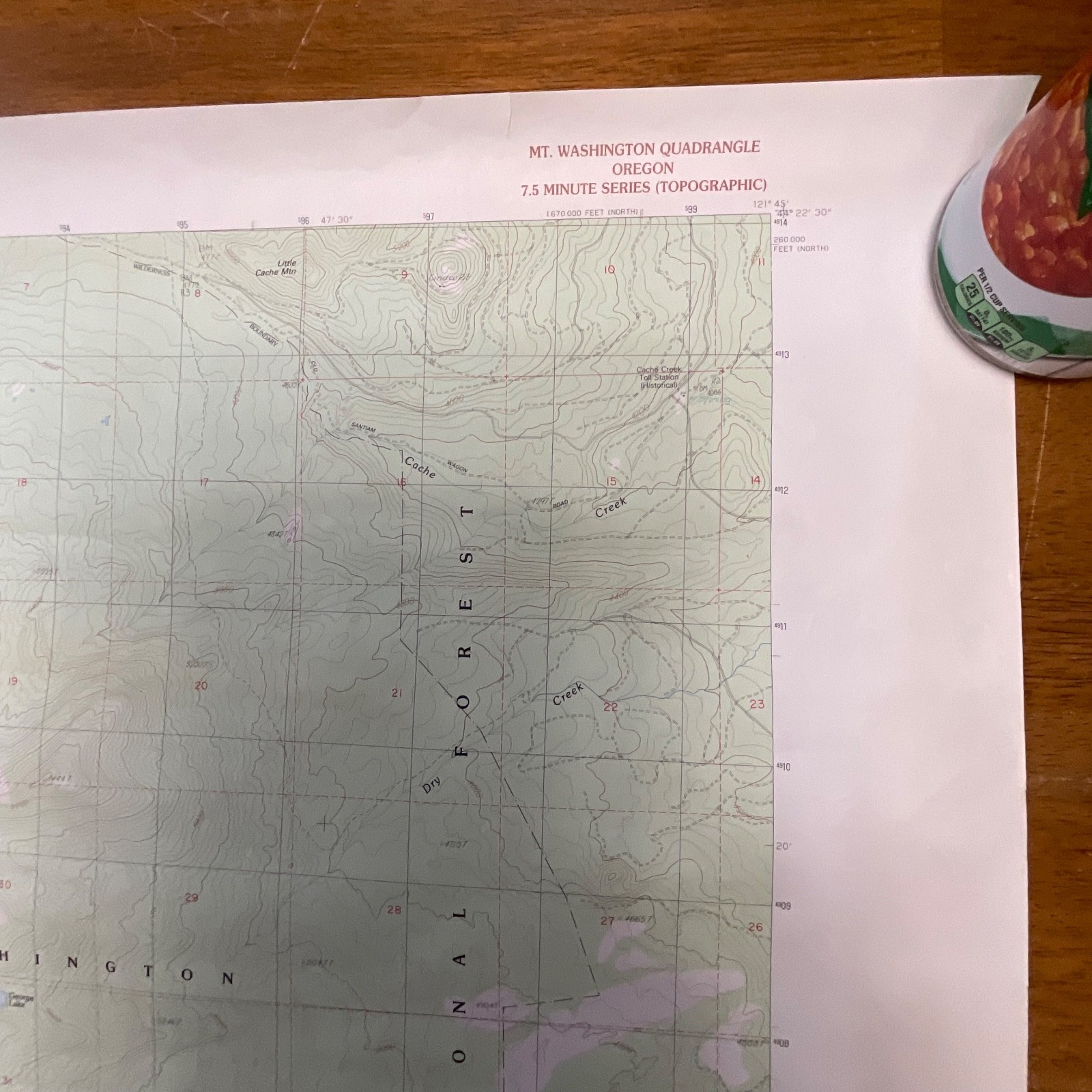
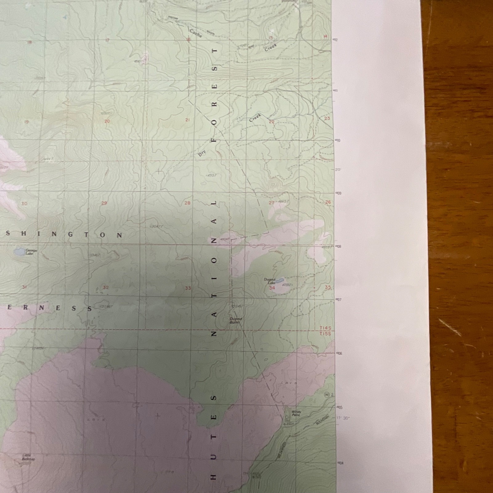
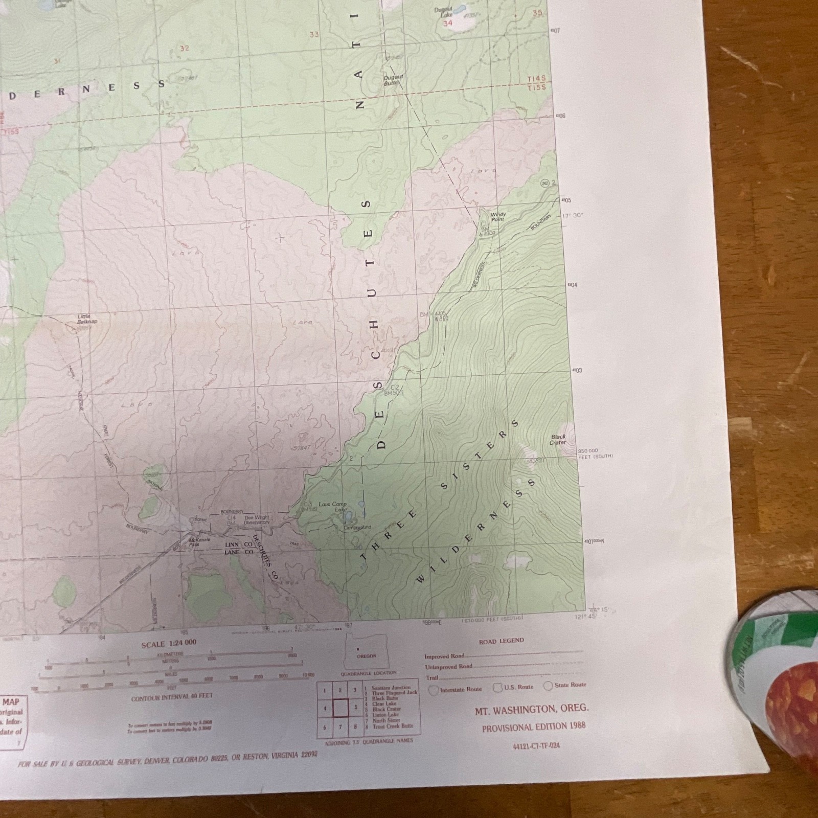
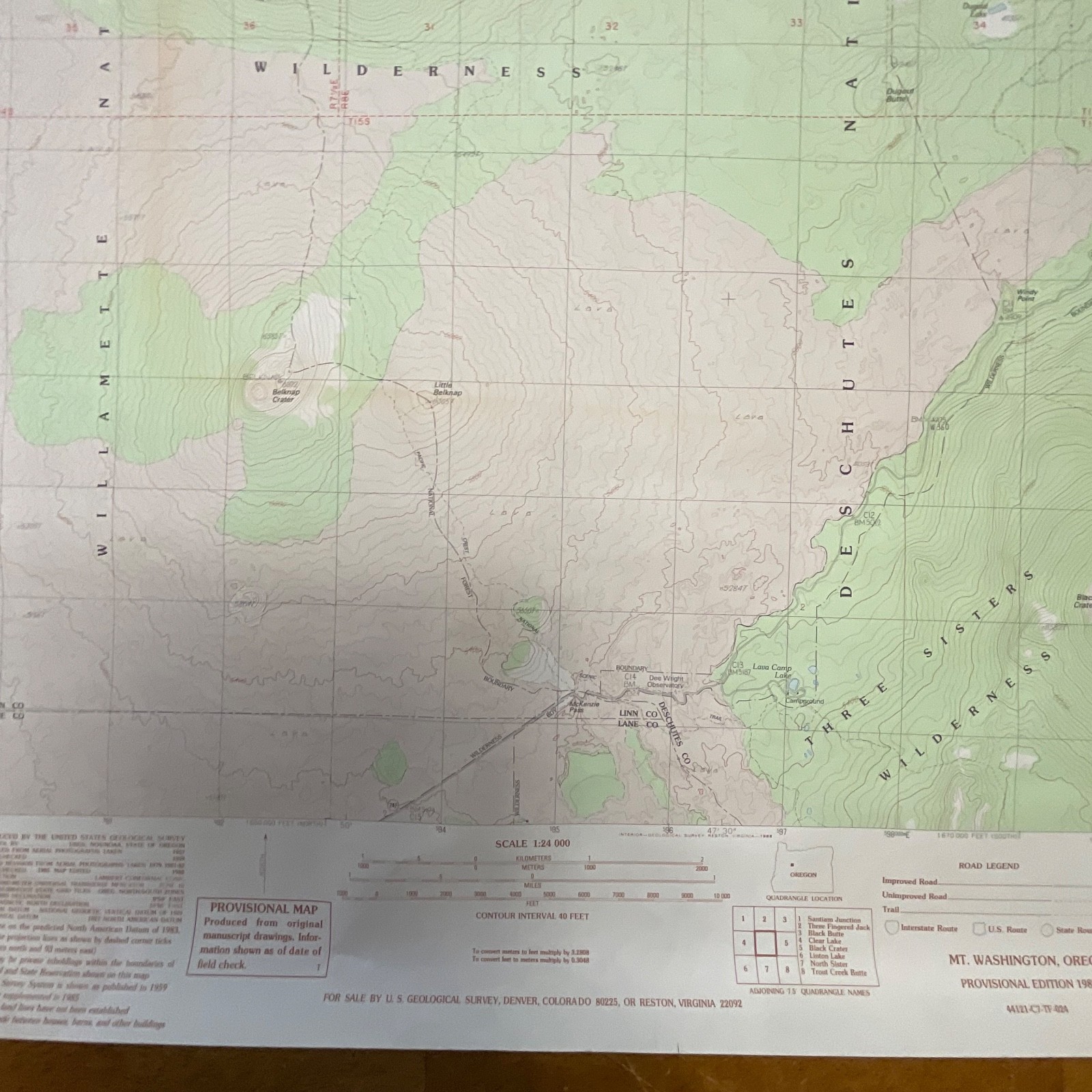
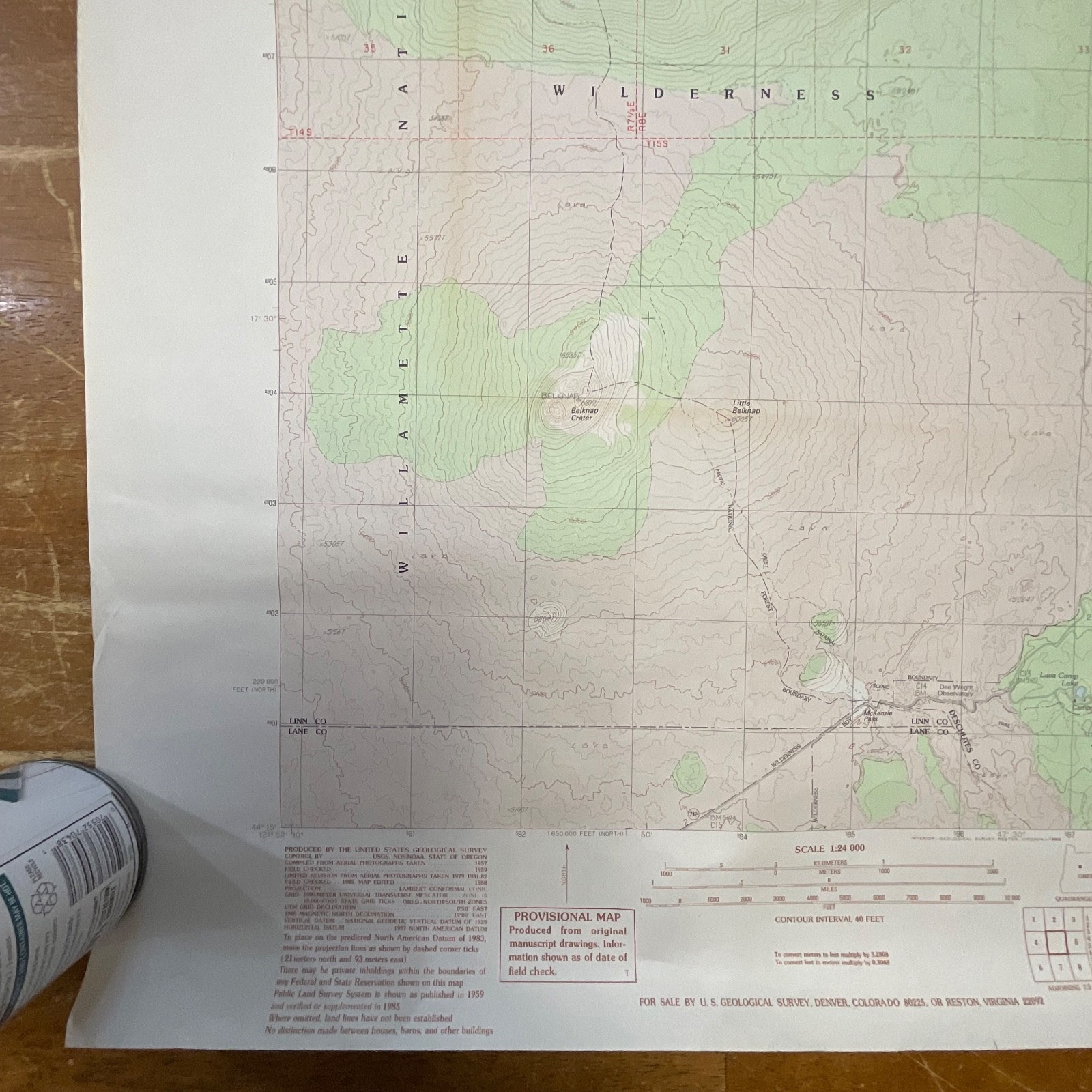
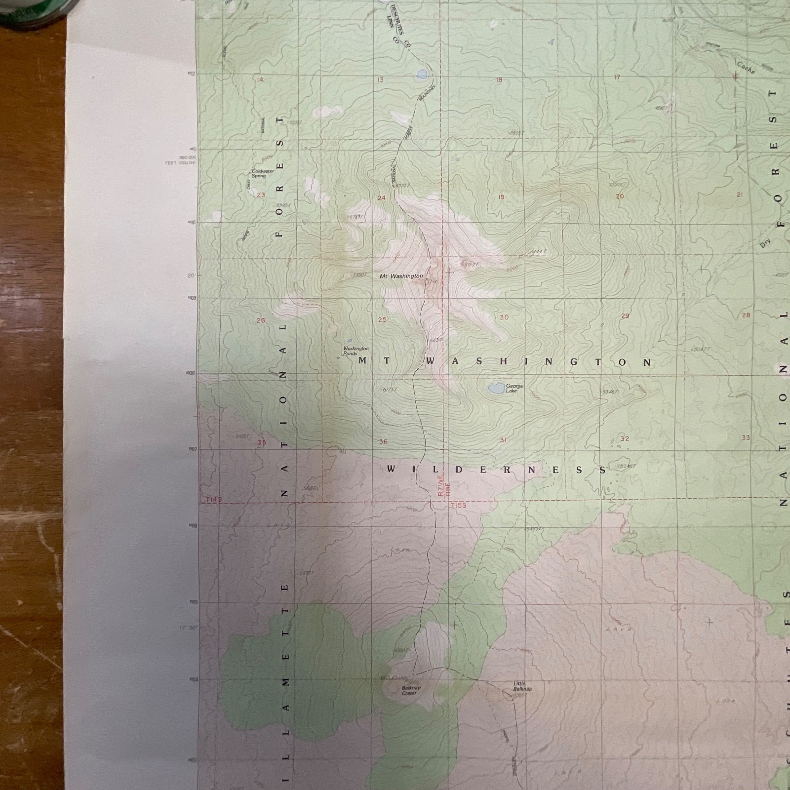
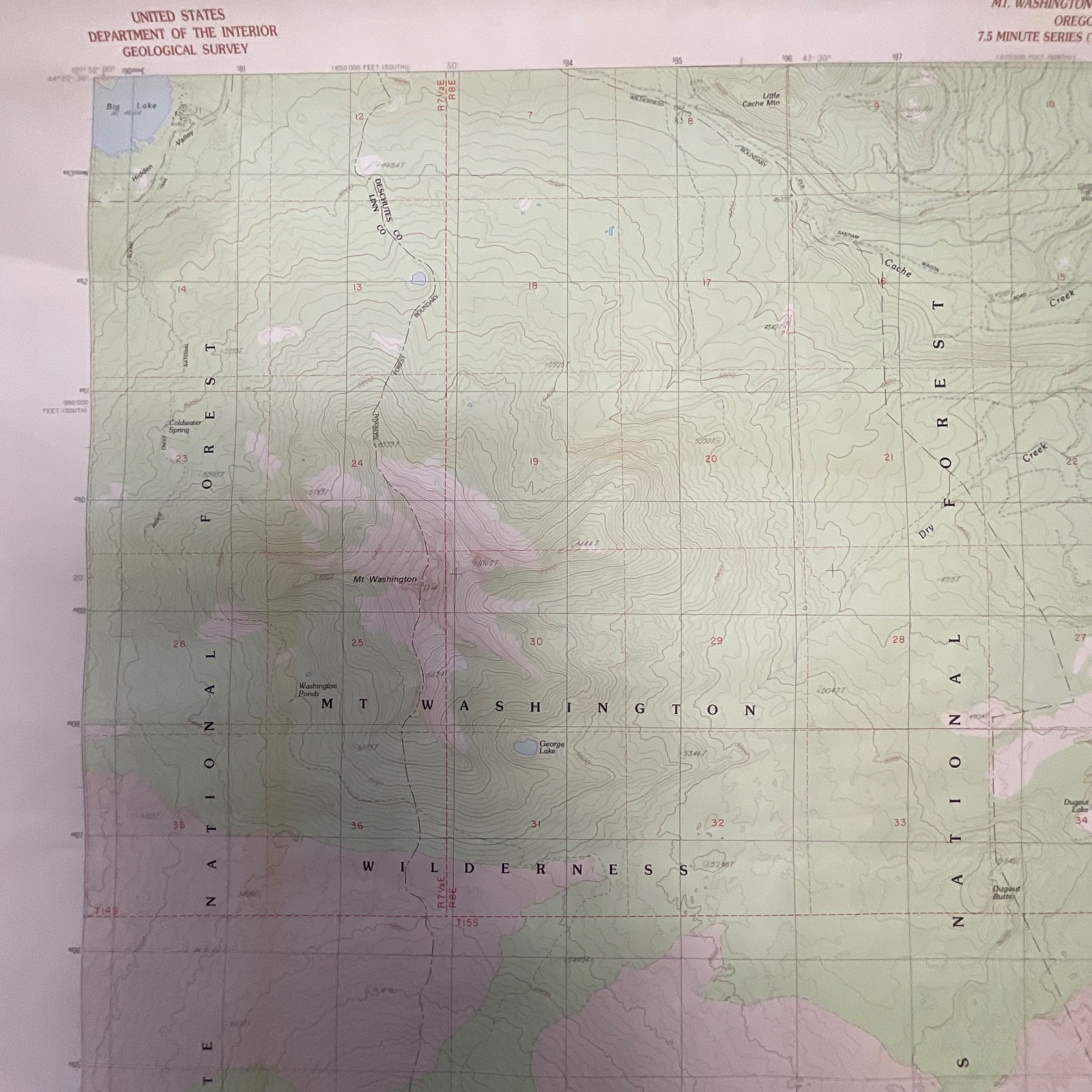
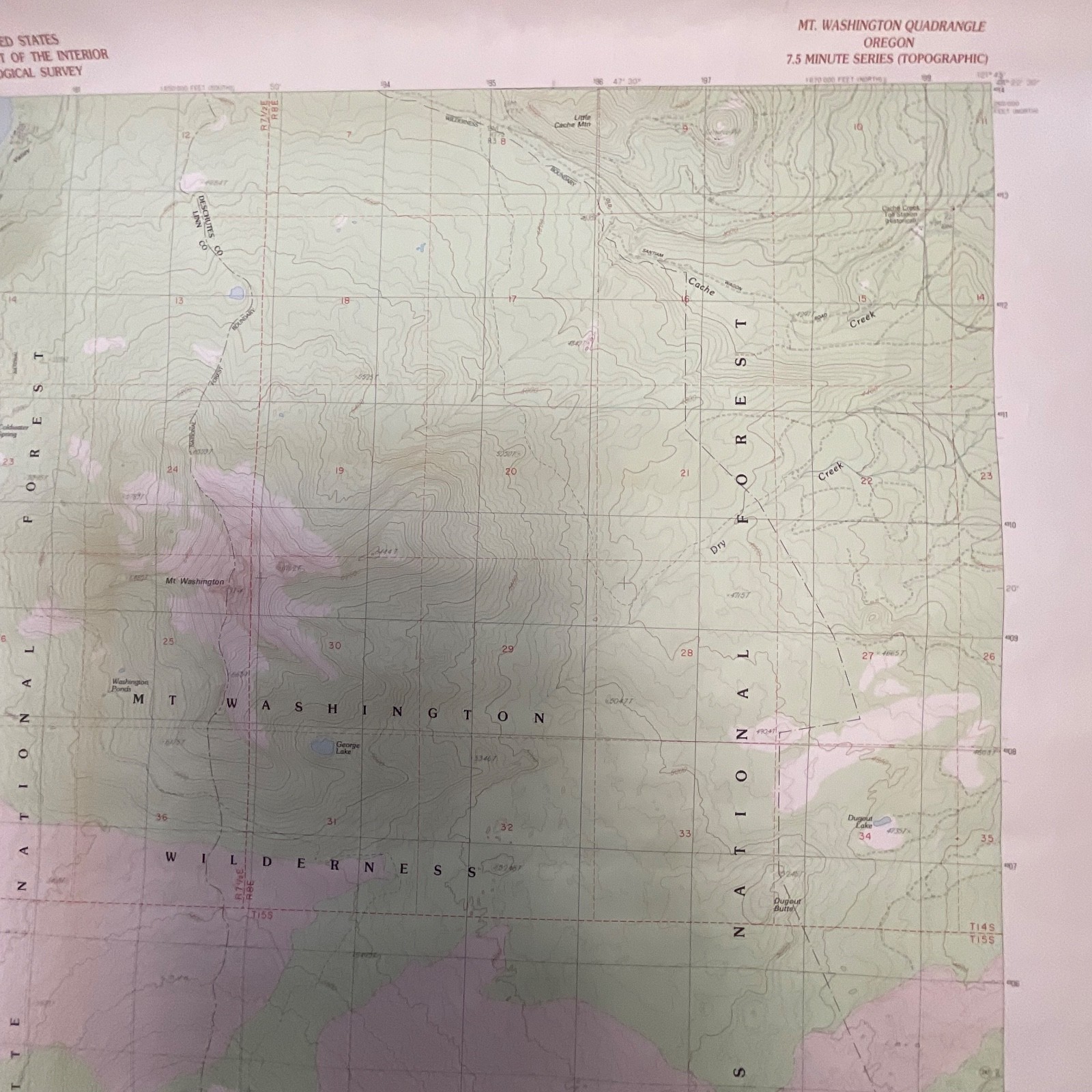
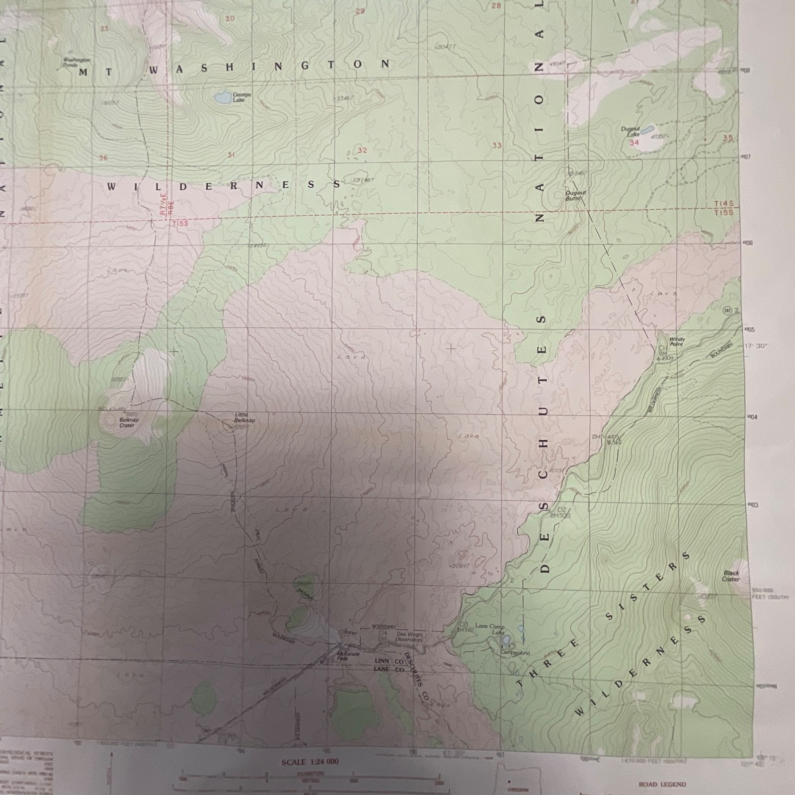
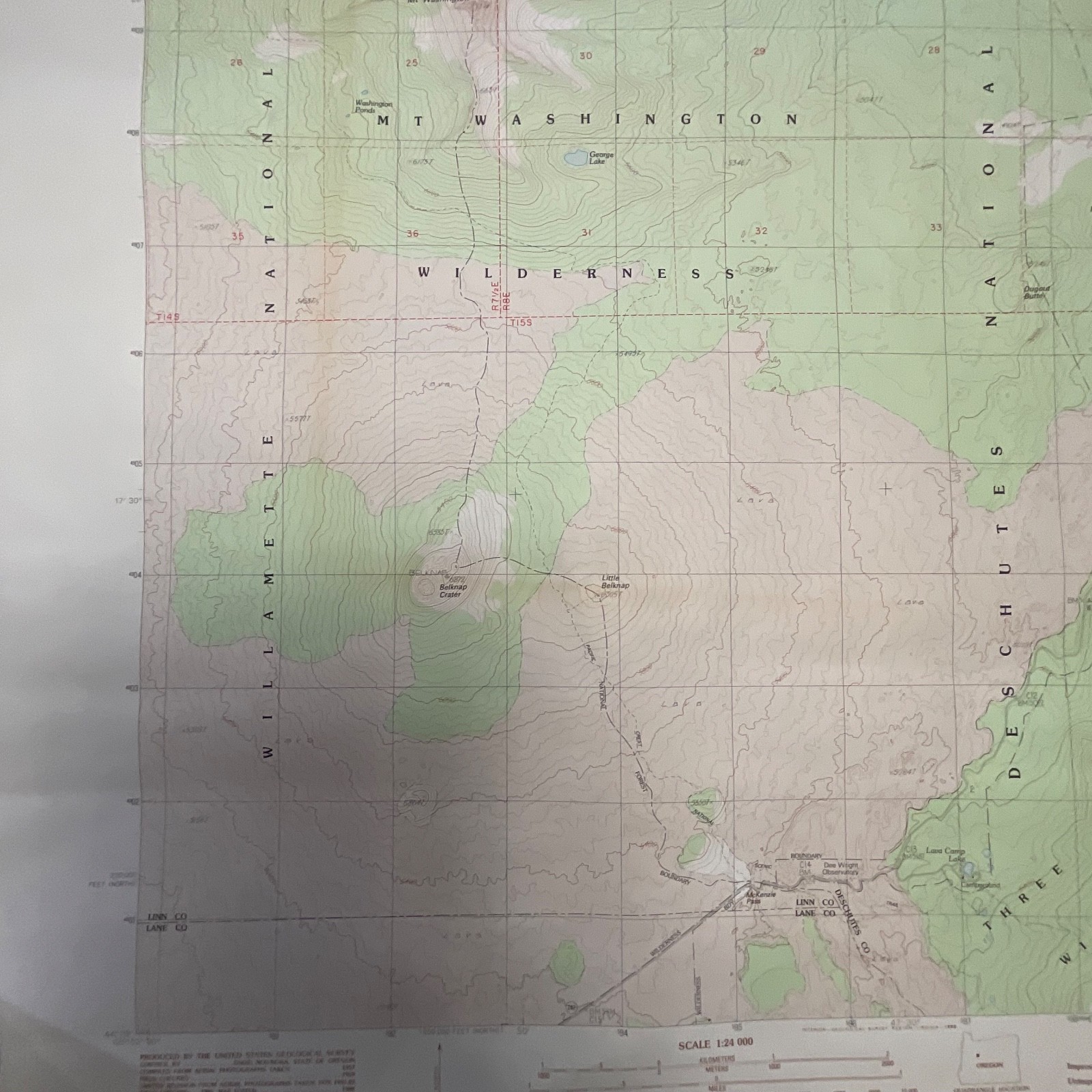
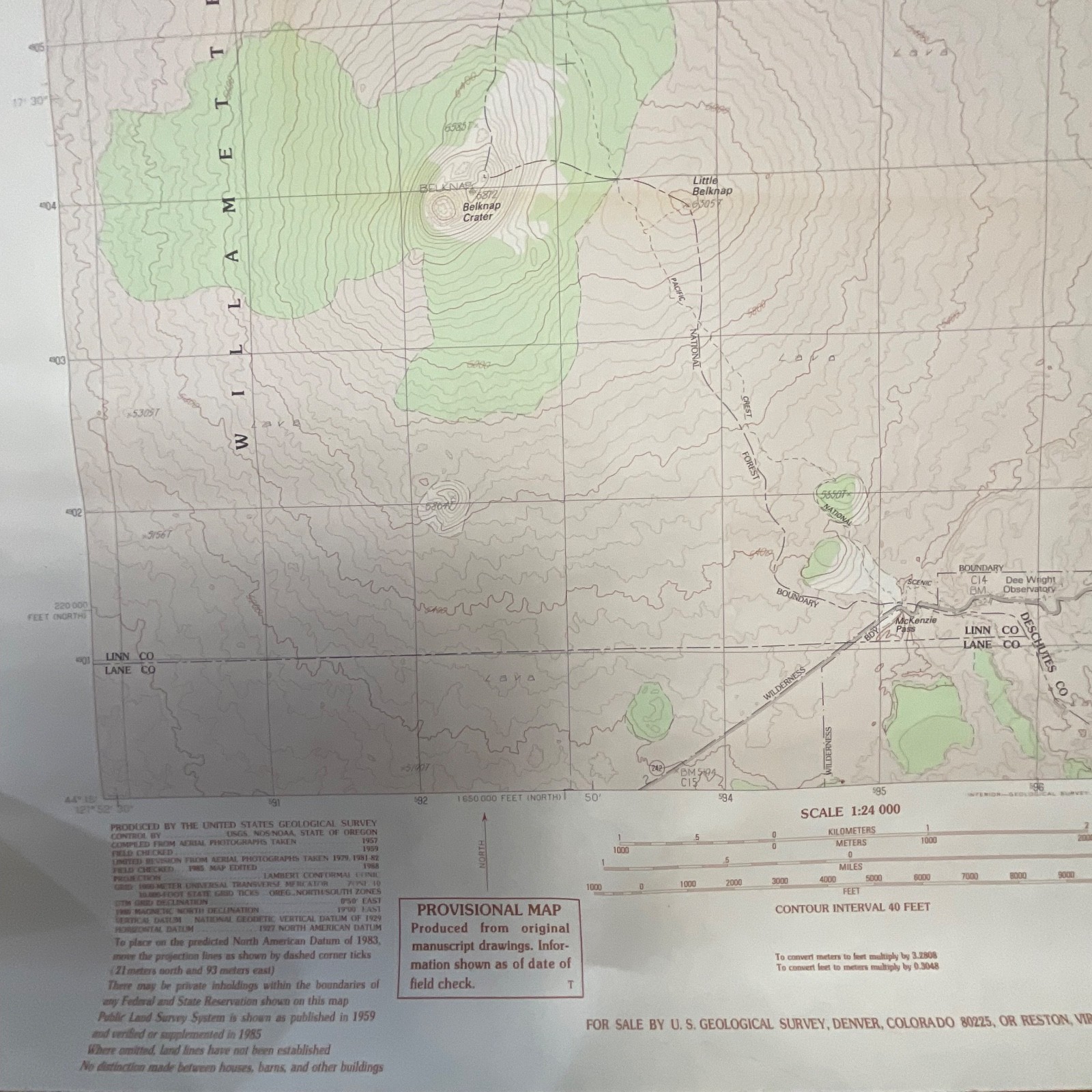
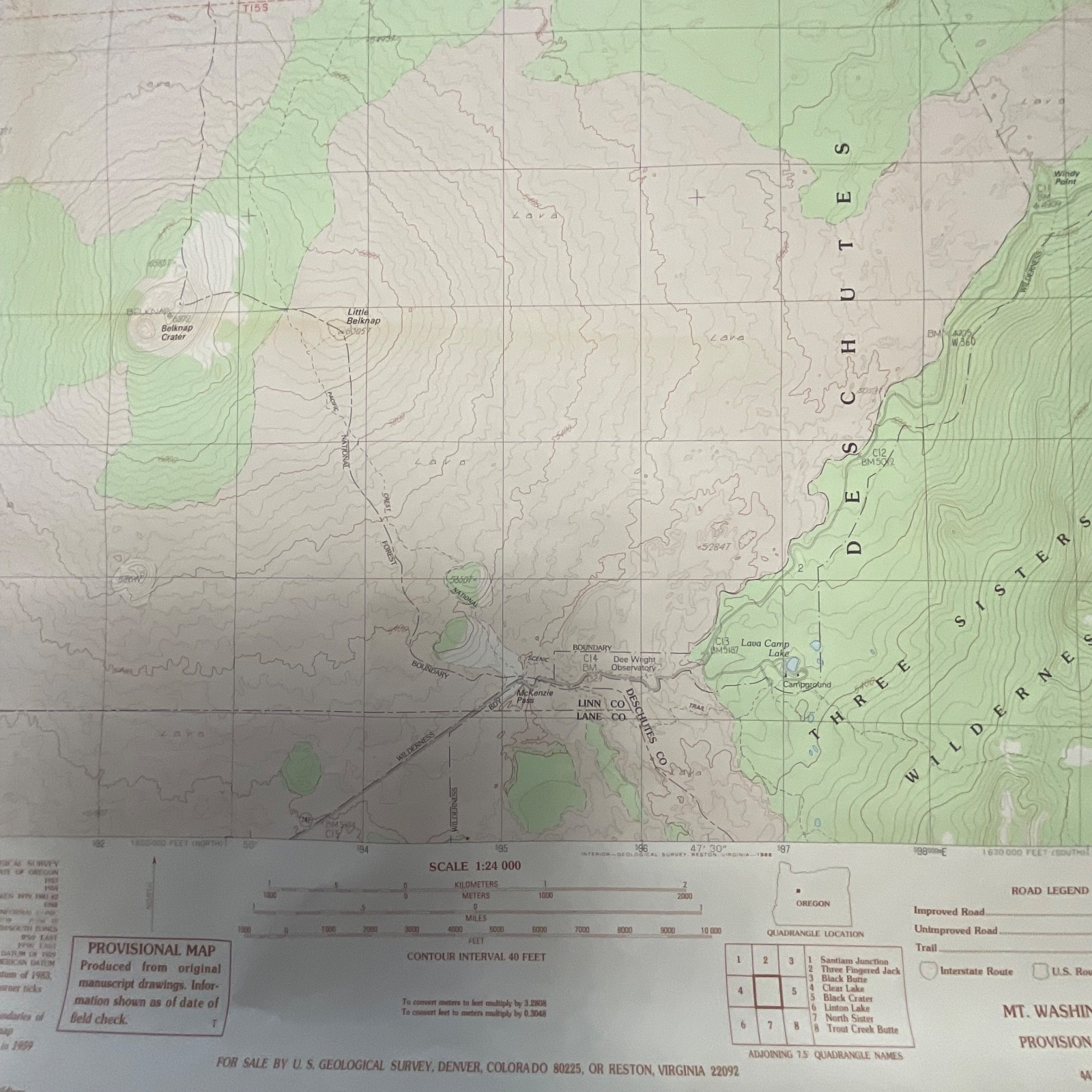
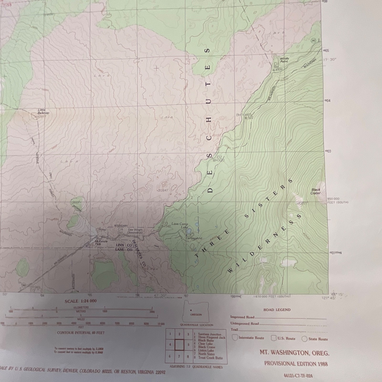
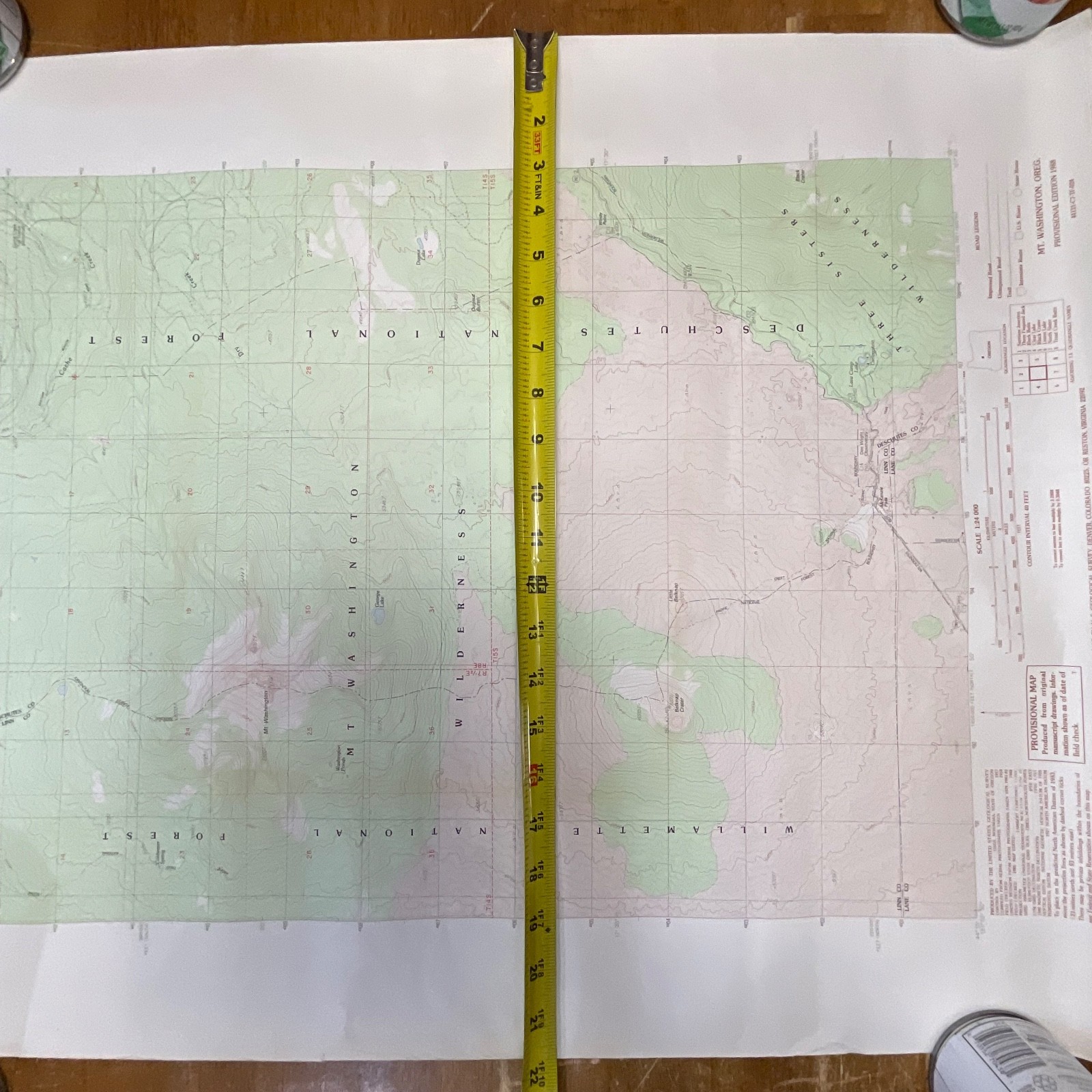
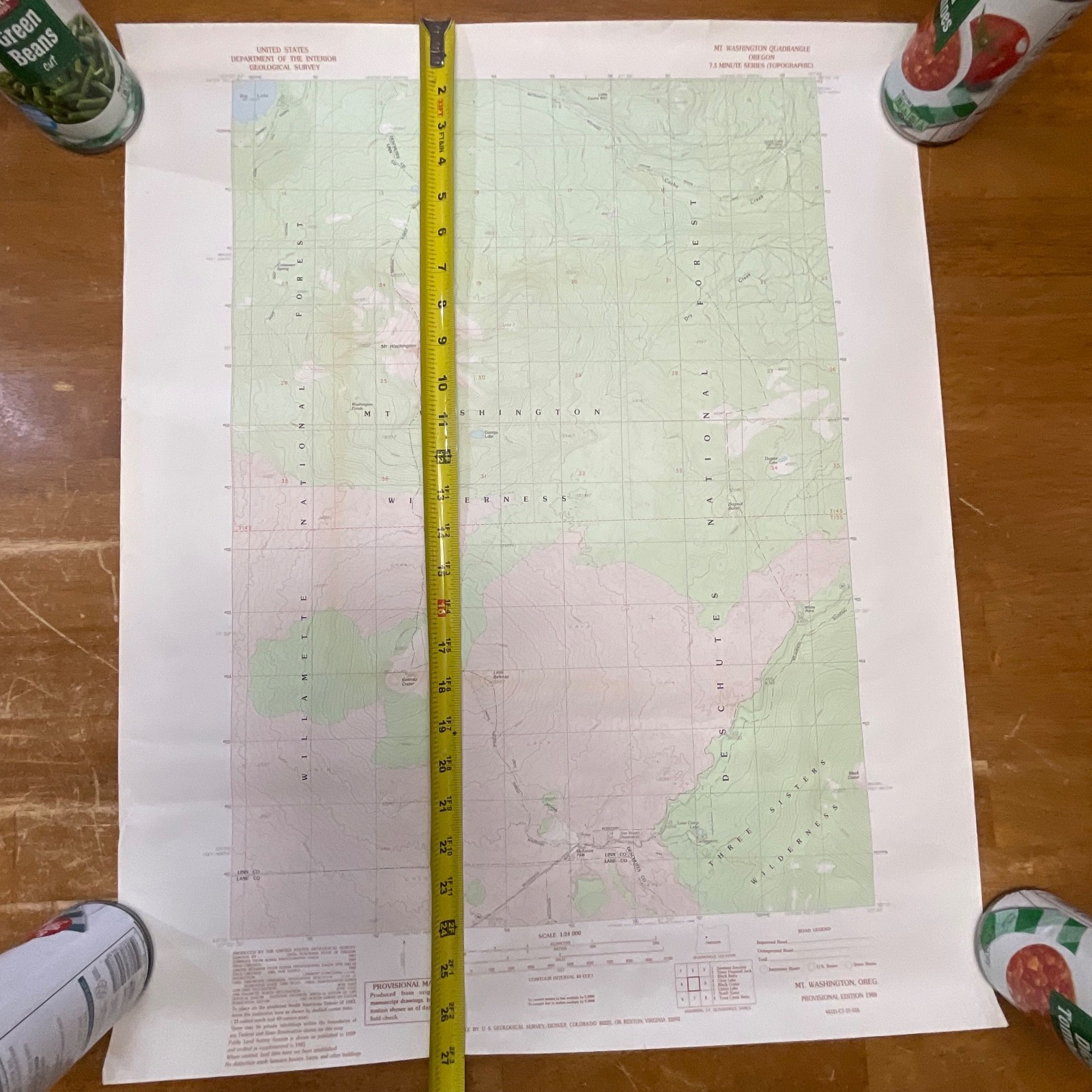
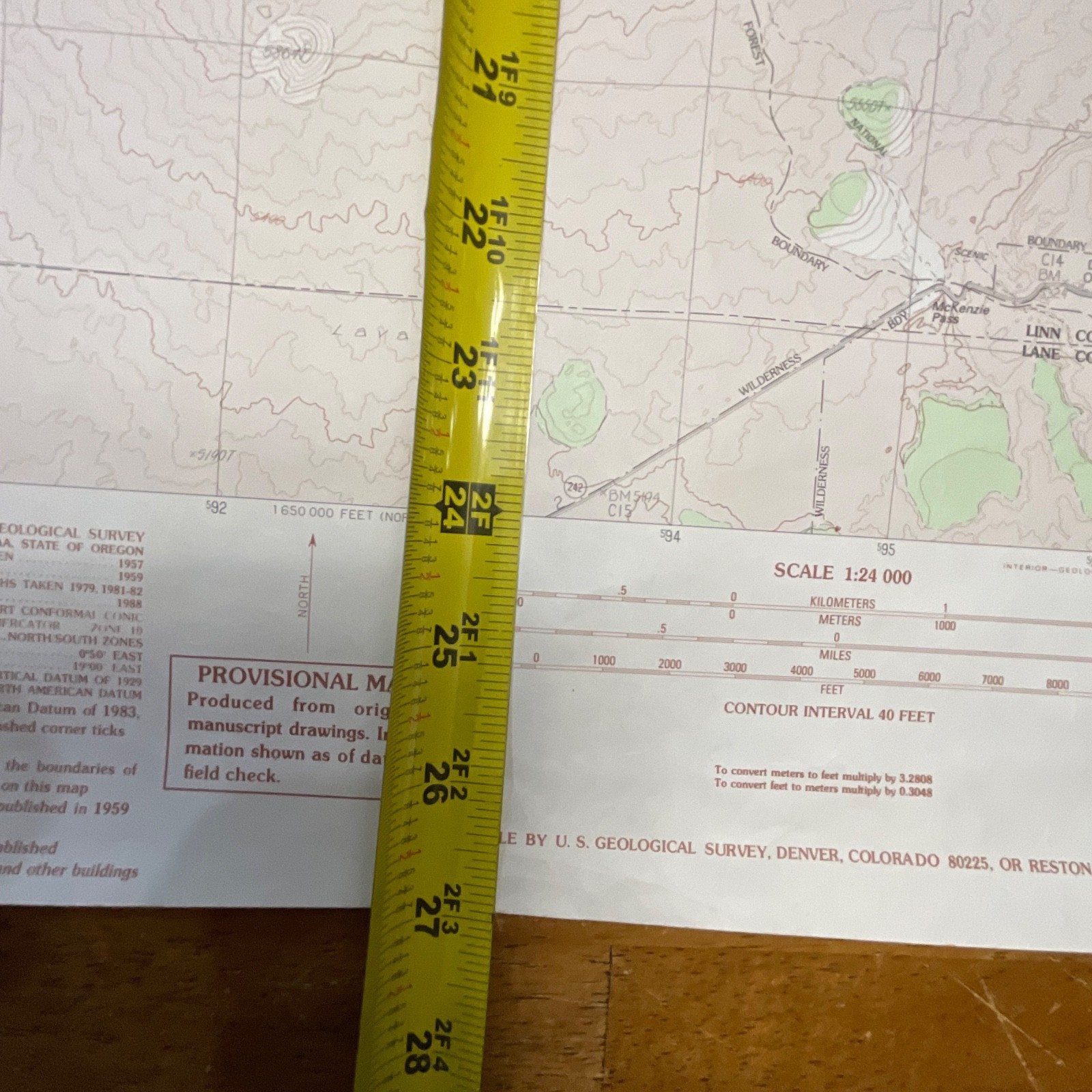
This is an original 1988 USGS topographic map of the Mt. Washington Quadrangle in Oregon, produced as part of the 7.5-minute series. It features detailed elevation contours, wilderness boundaries, forest regions, and trail and road markings consistent with U.S. Geological Survey standards of the period. The lower margin identifies this as the Provisional Edition 1988, printed in Reston, Virginia.
The map is printed on standard USGS paper stock and includes contour intervals, scale bars, grid coordinates, survey notes, and the full roadside and trail legend. Visible details include Mt. Washington, Big Lake, the Three Sisters Wilderness, the Willamette and Deschutes National Forests, and surrounding features. Minor edge wear and light handling creases are visible, consistent with storage and age.
Measurements:
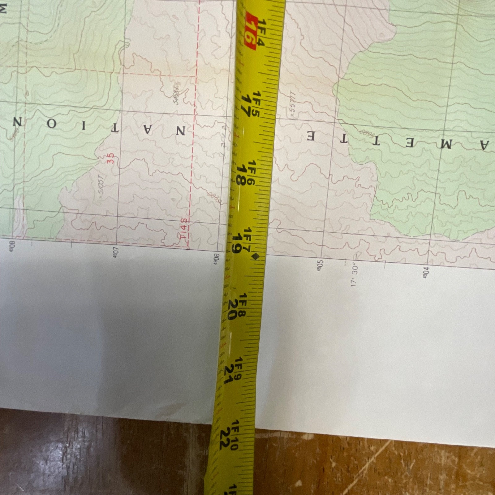
Approx. 27in tall × 22in wide
Shipping:
Ships securely with protective packaging; prompt shipping excluding Federal Holidays.
Condition Description
Vintage pre-owned condition with light edge wear and a few handling creases visible. No major tears or markings. Please review all photos for exact condition before purchase.
Item Specifics
• Category: Maps & Atlases
• Type: Topographic Map
• Style: USGS 7.5-Minute Series
• Material: Paper
• Color: Multicolor (green, tan, white, red contour lines)
• Size: 27in × 22in
• Era: 1980s
• Brand/Publisher: U.S. Geological Survey
• Country/Region of Manufacture: United States
• Year: 1988
• Region: Oregon – Mt. Washington Quadrangle
• UPC: Not visible
Reviews
There are no reviews yet.