
Description
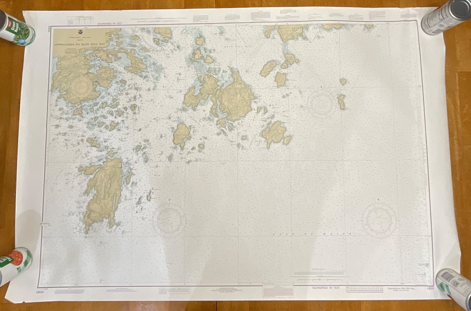
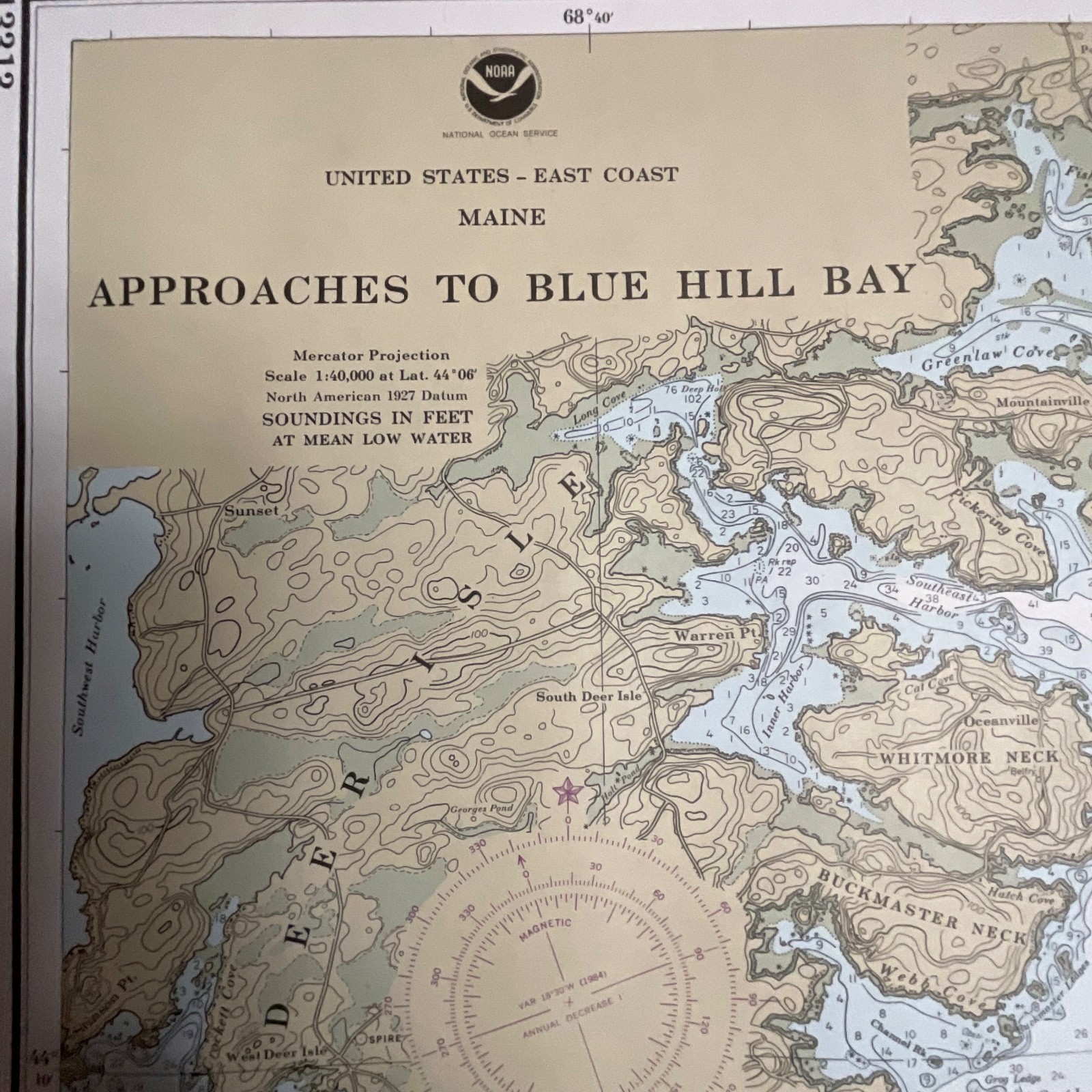
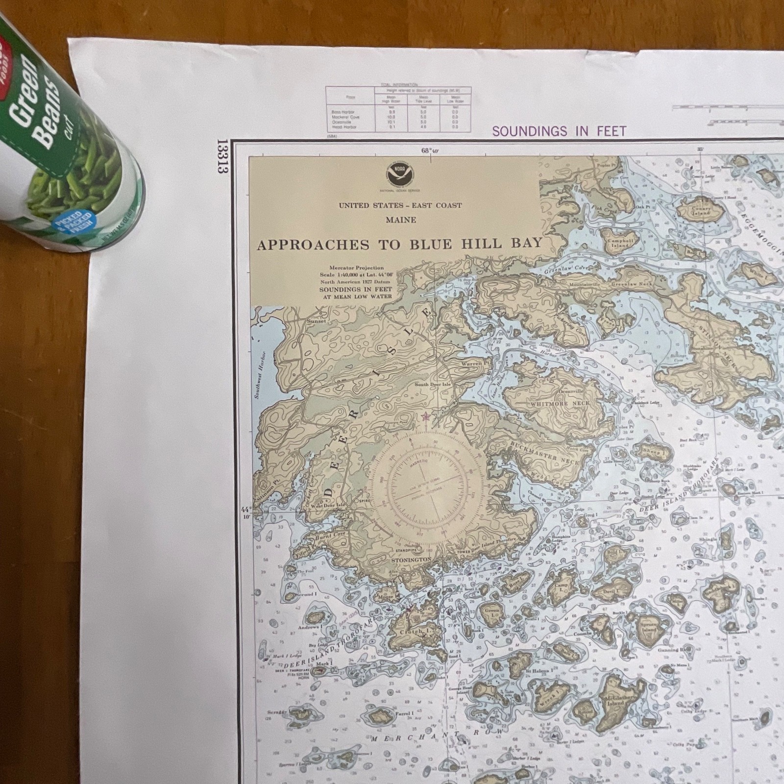
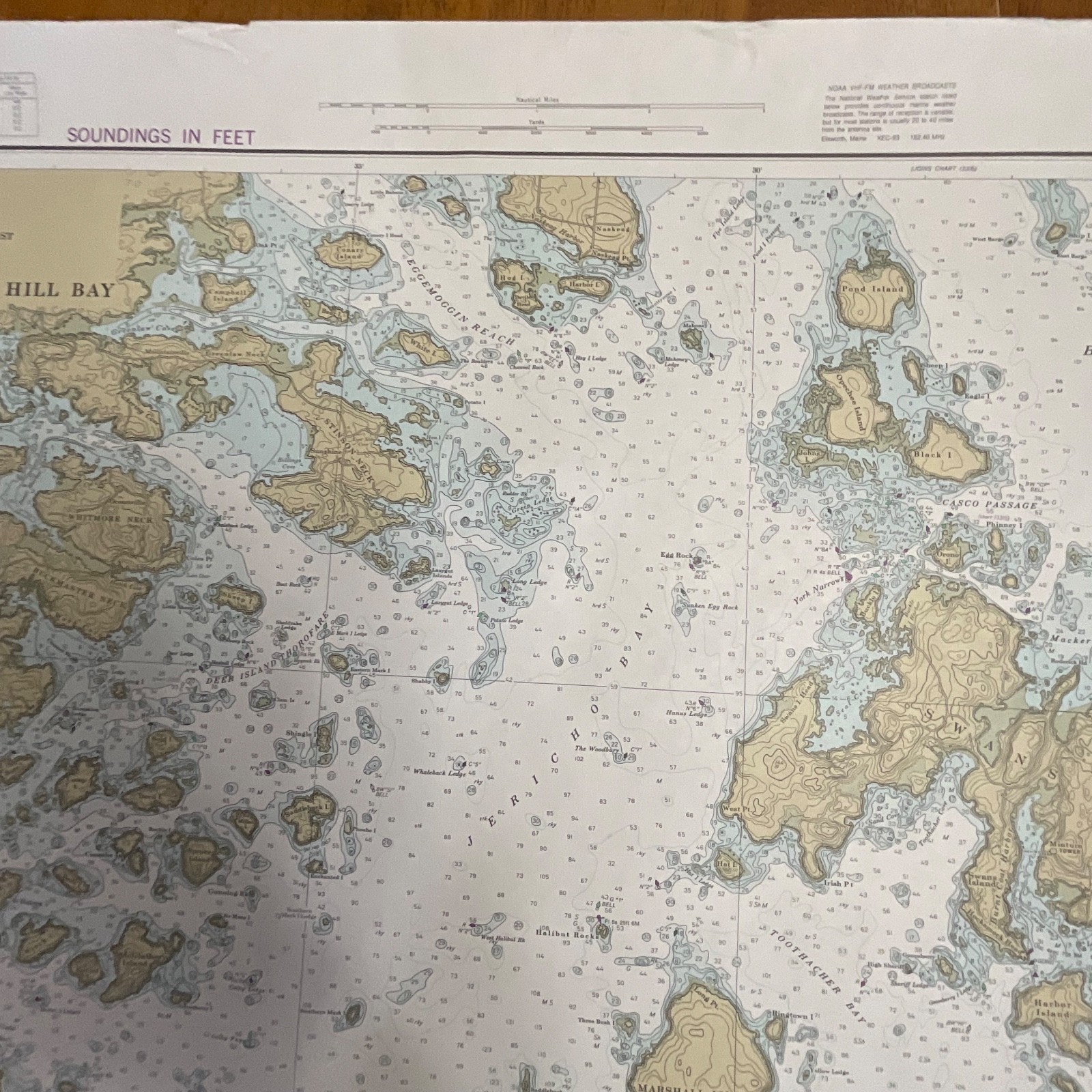
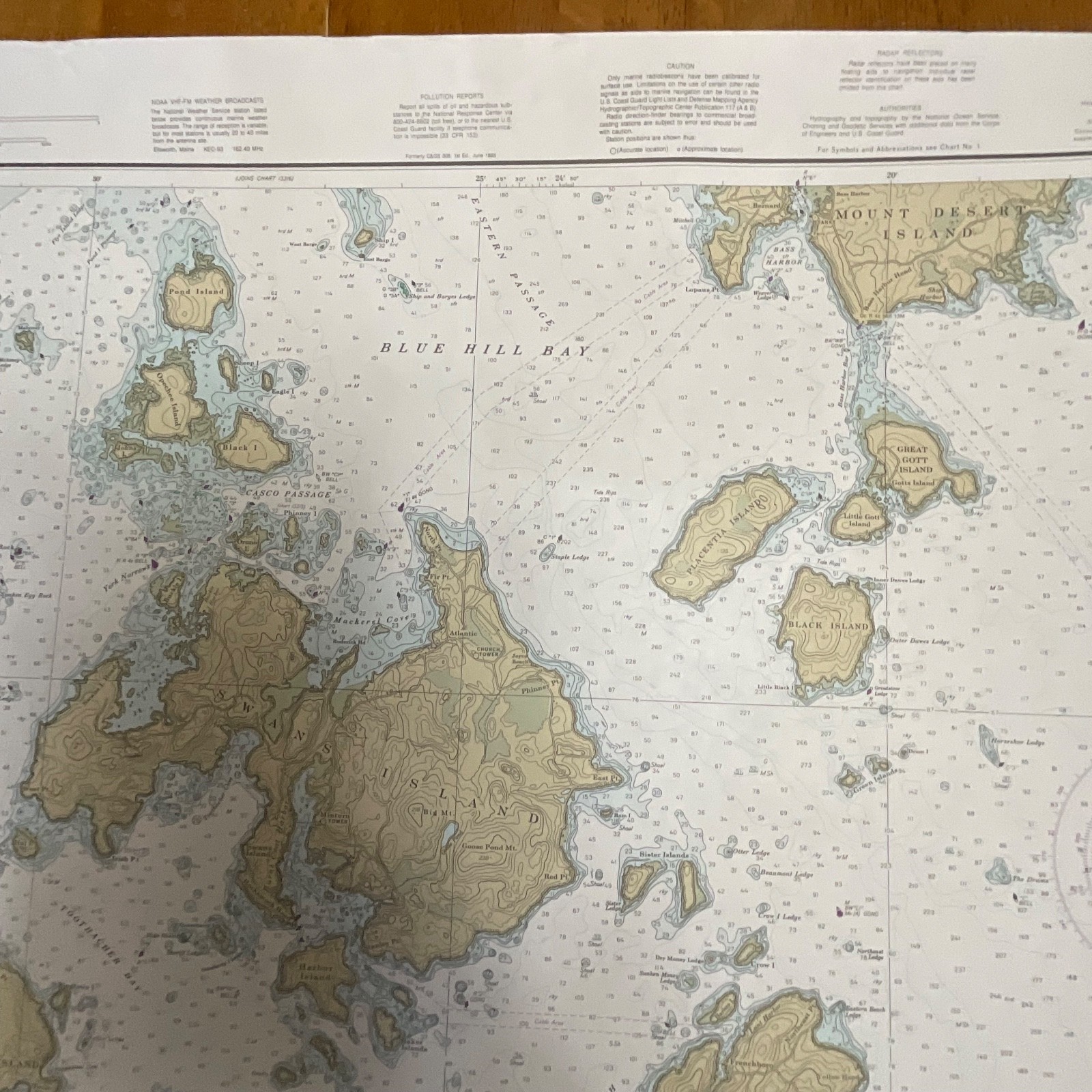
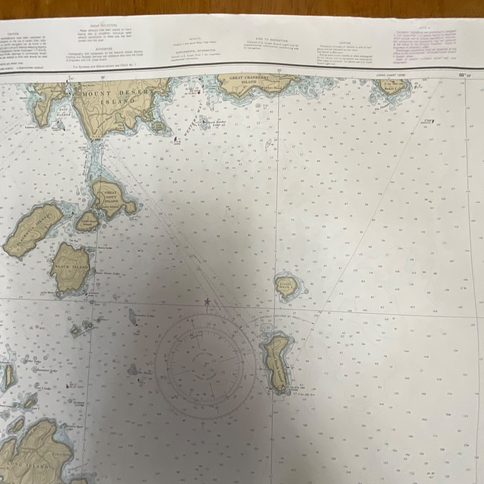
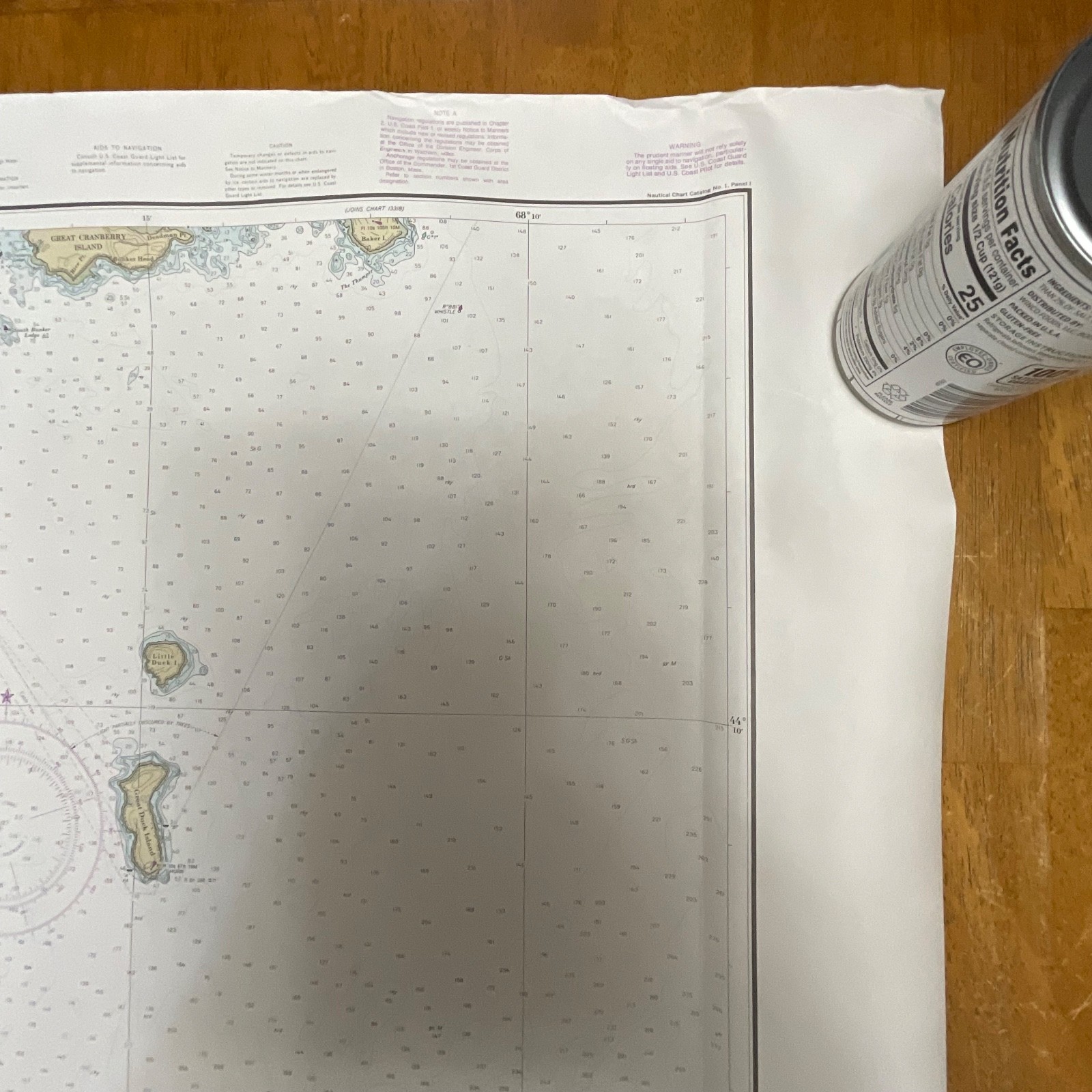
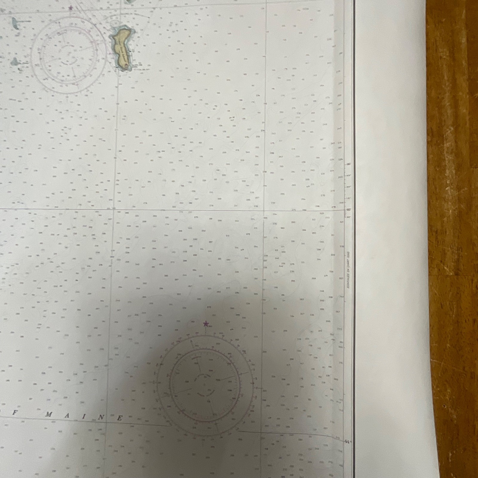
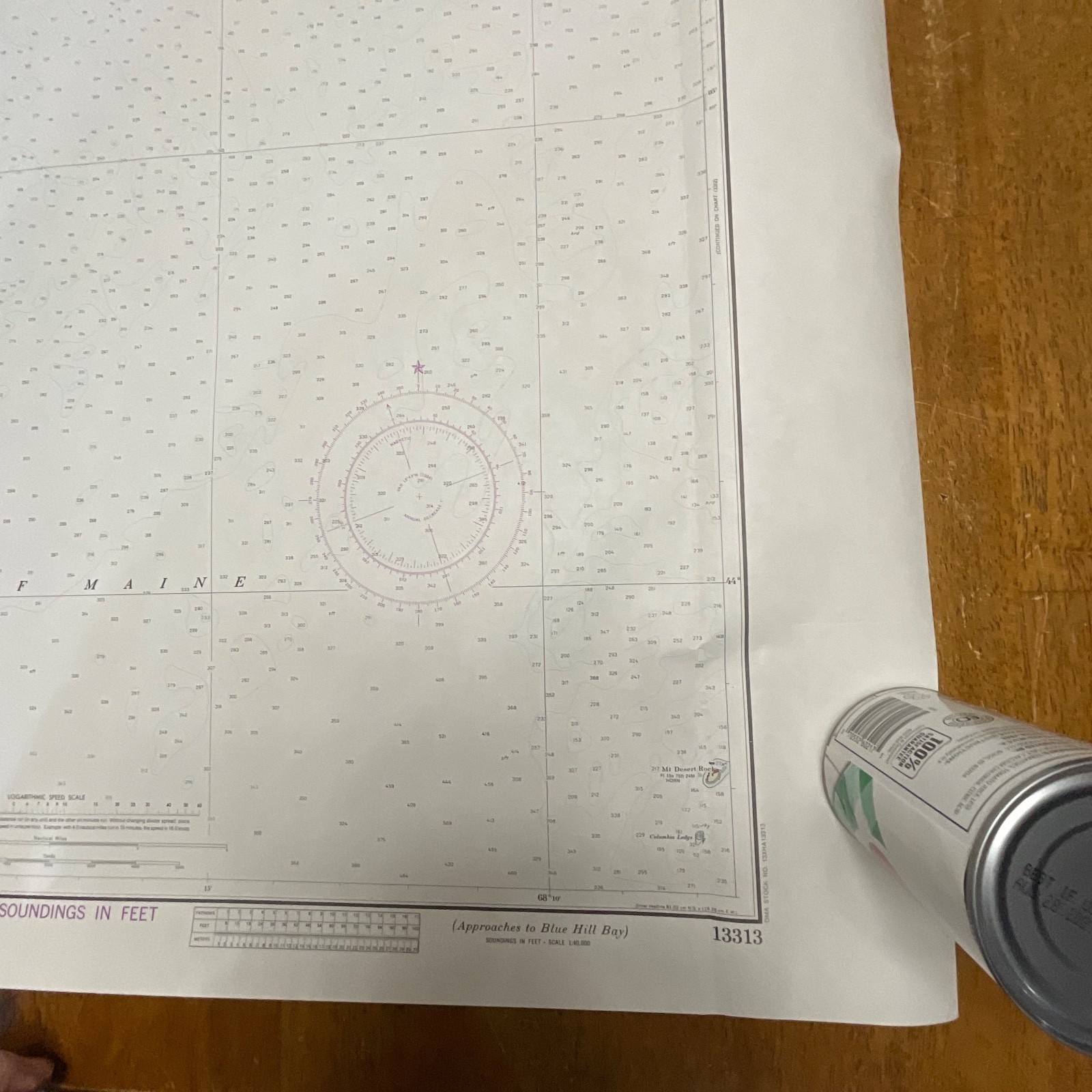
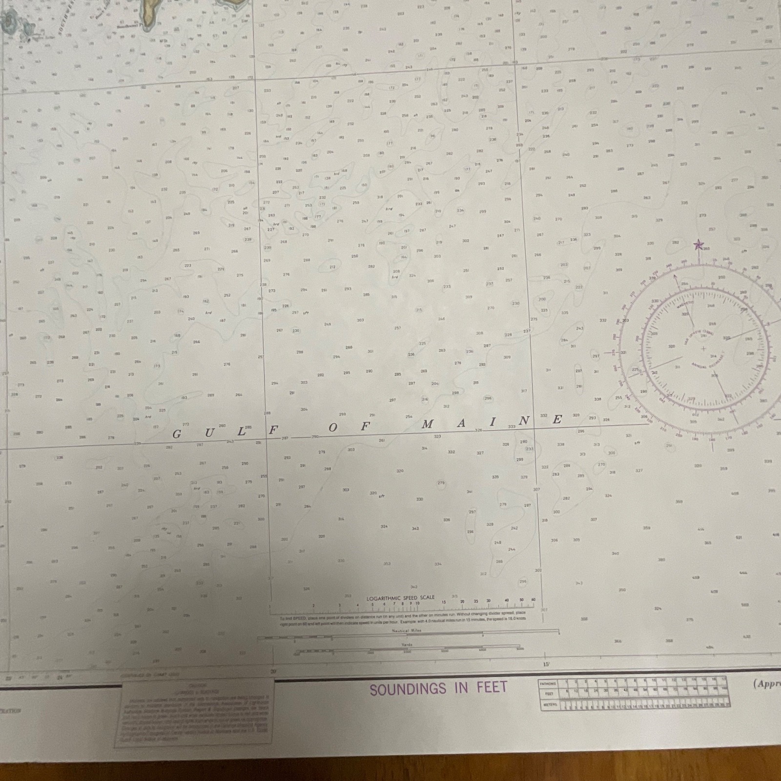
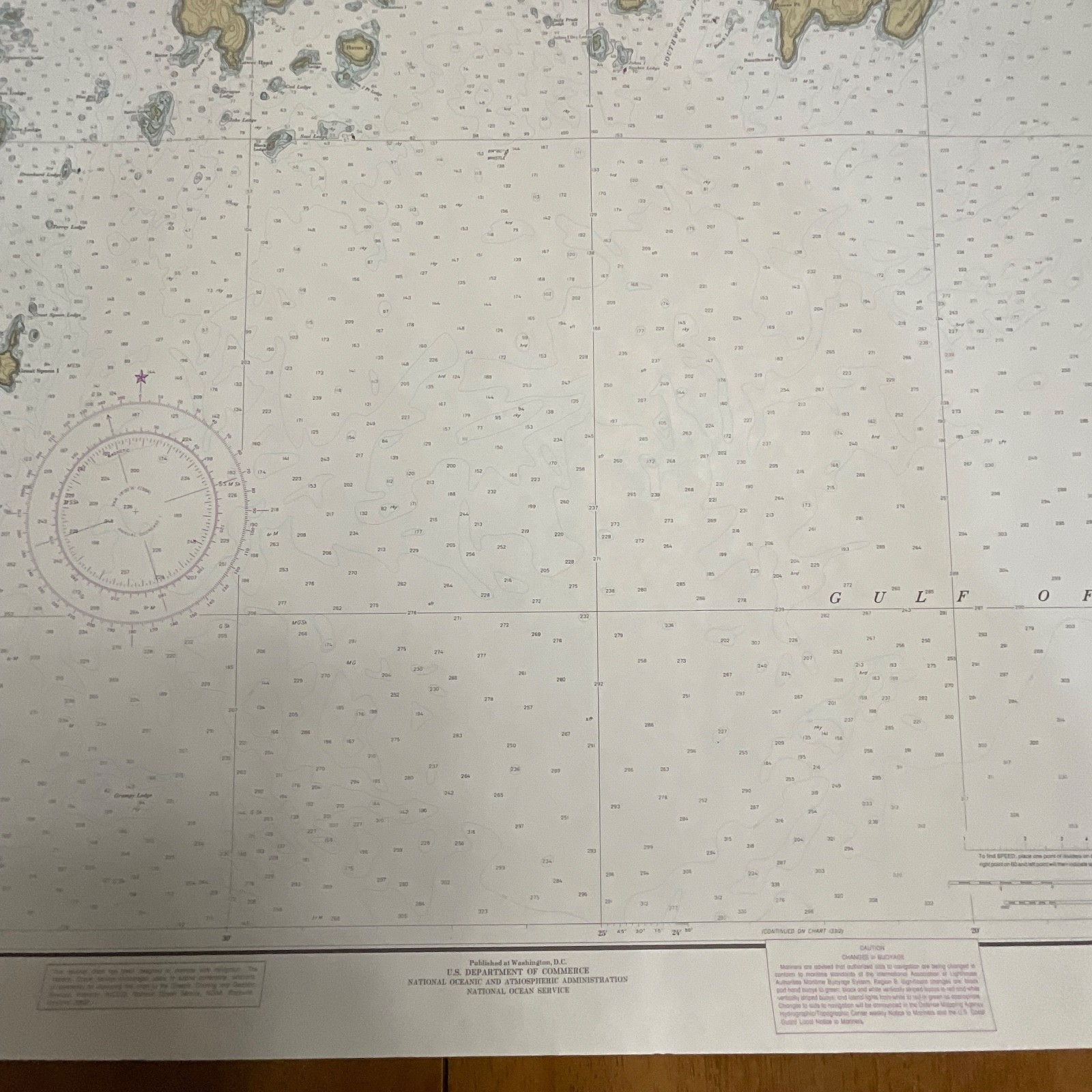
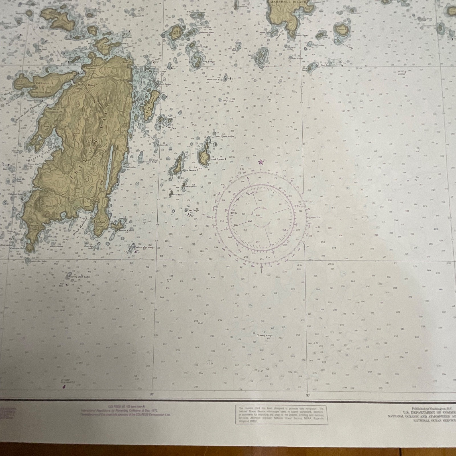
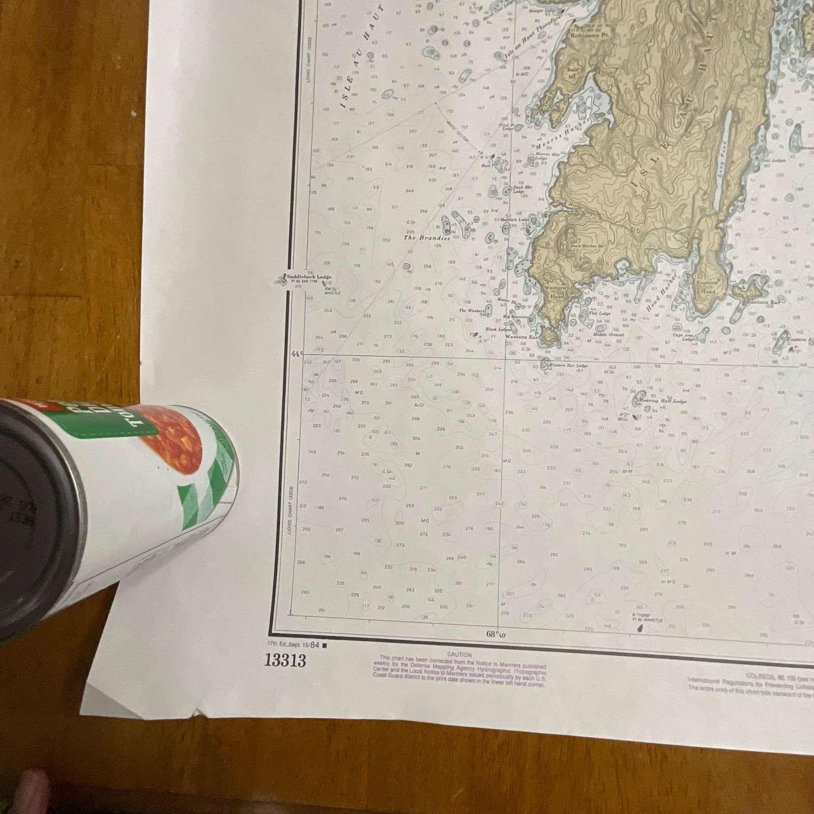
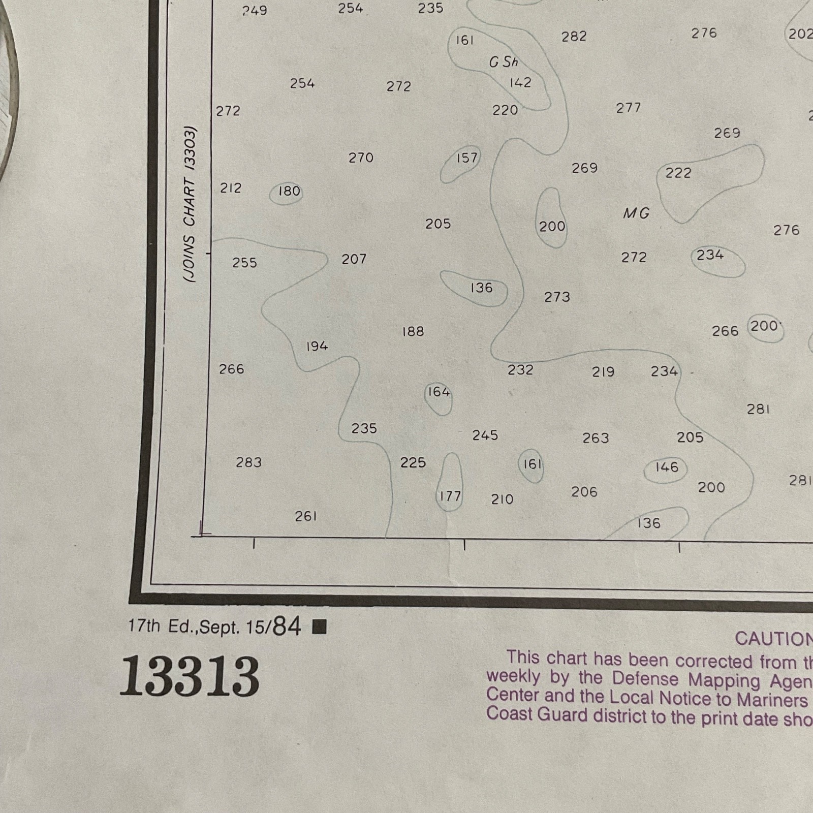
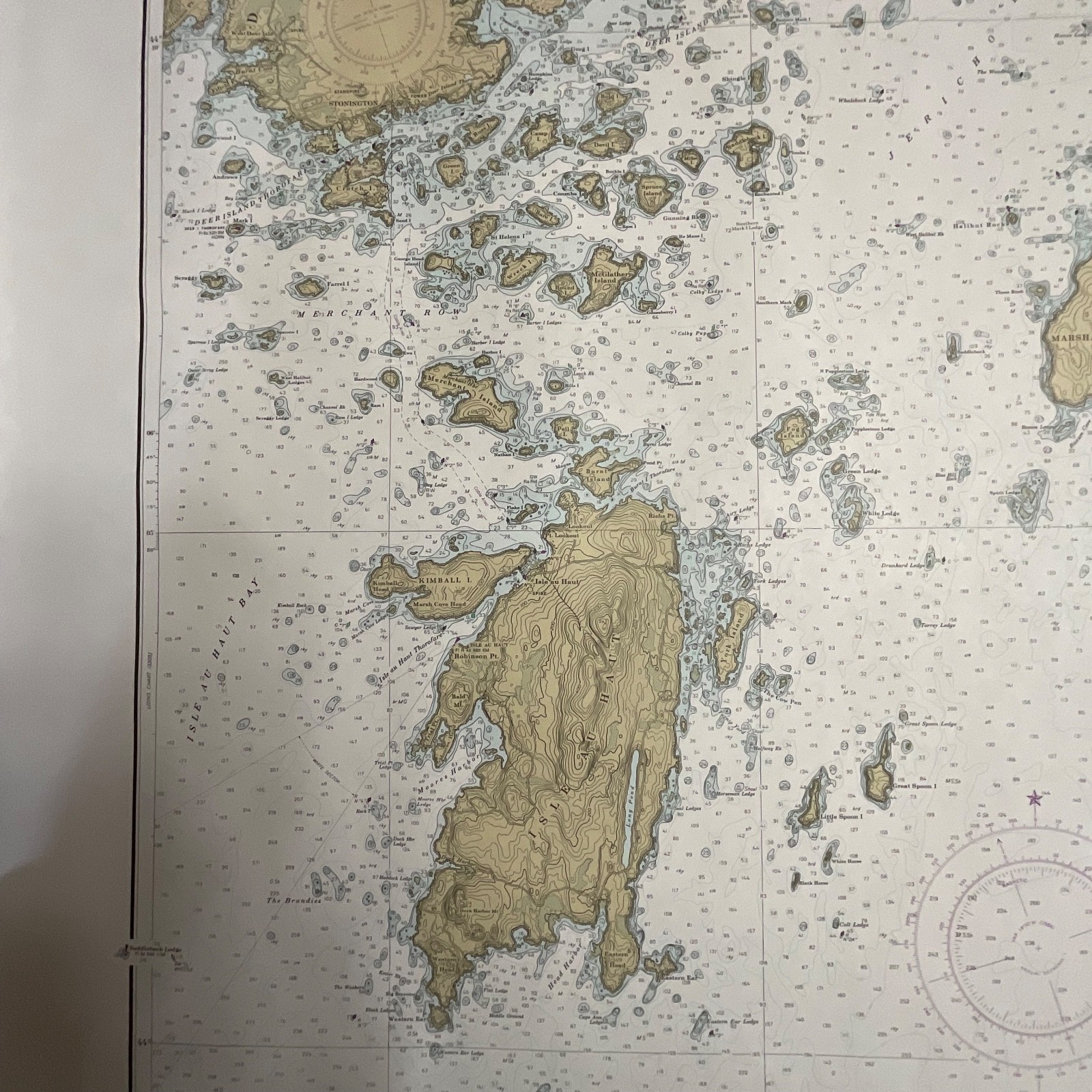
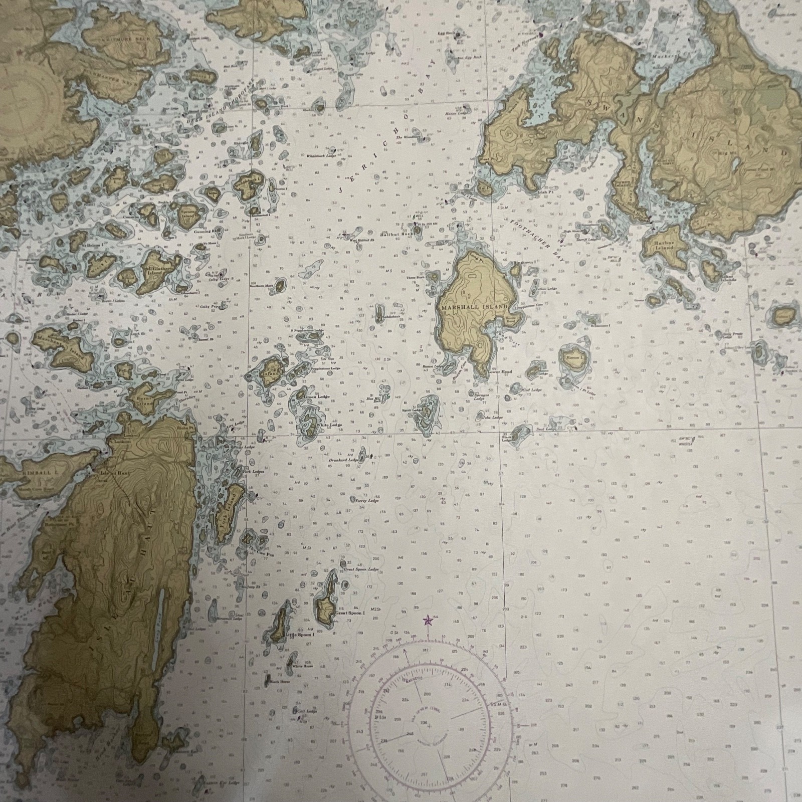
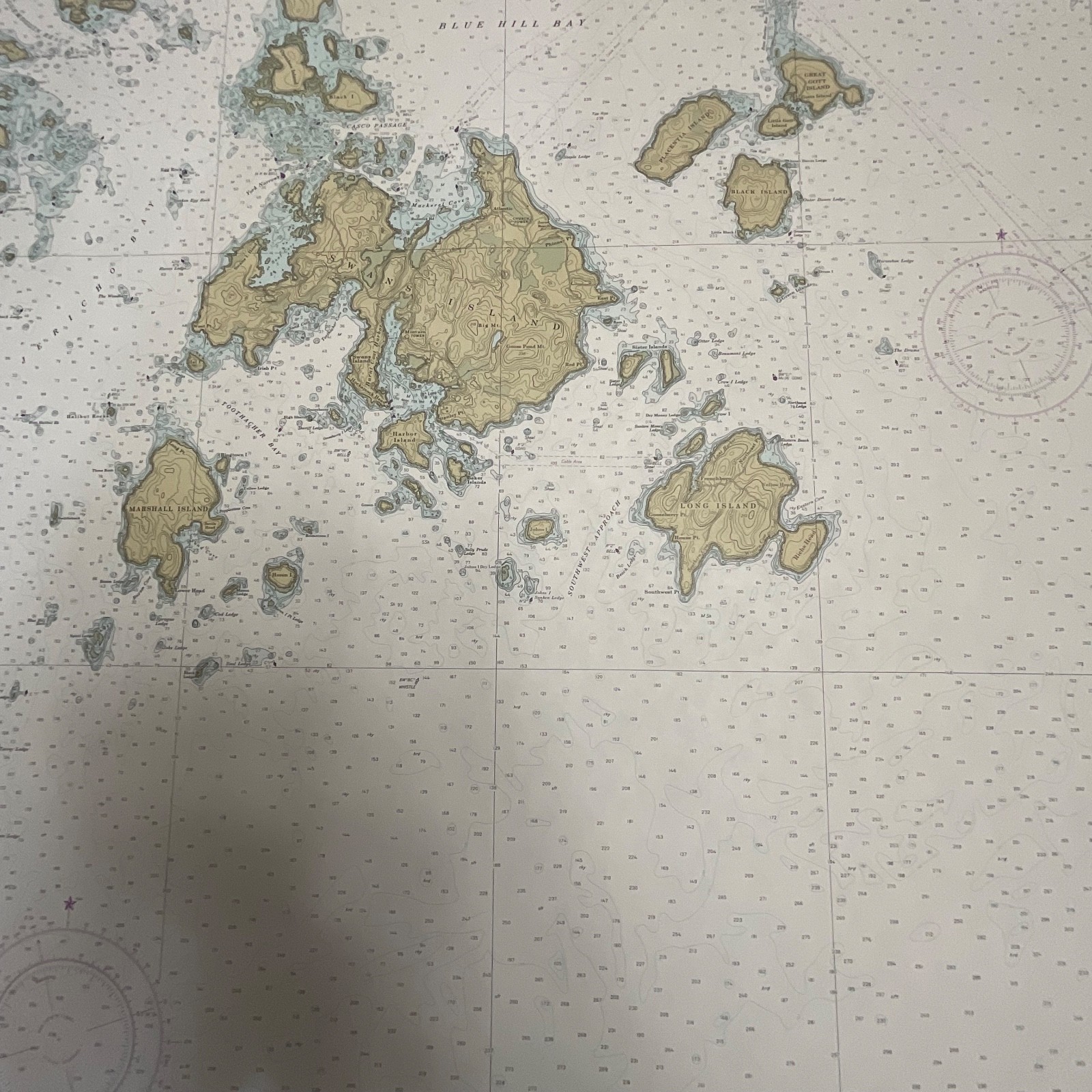
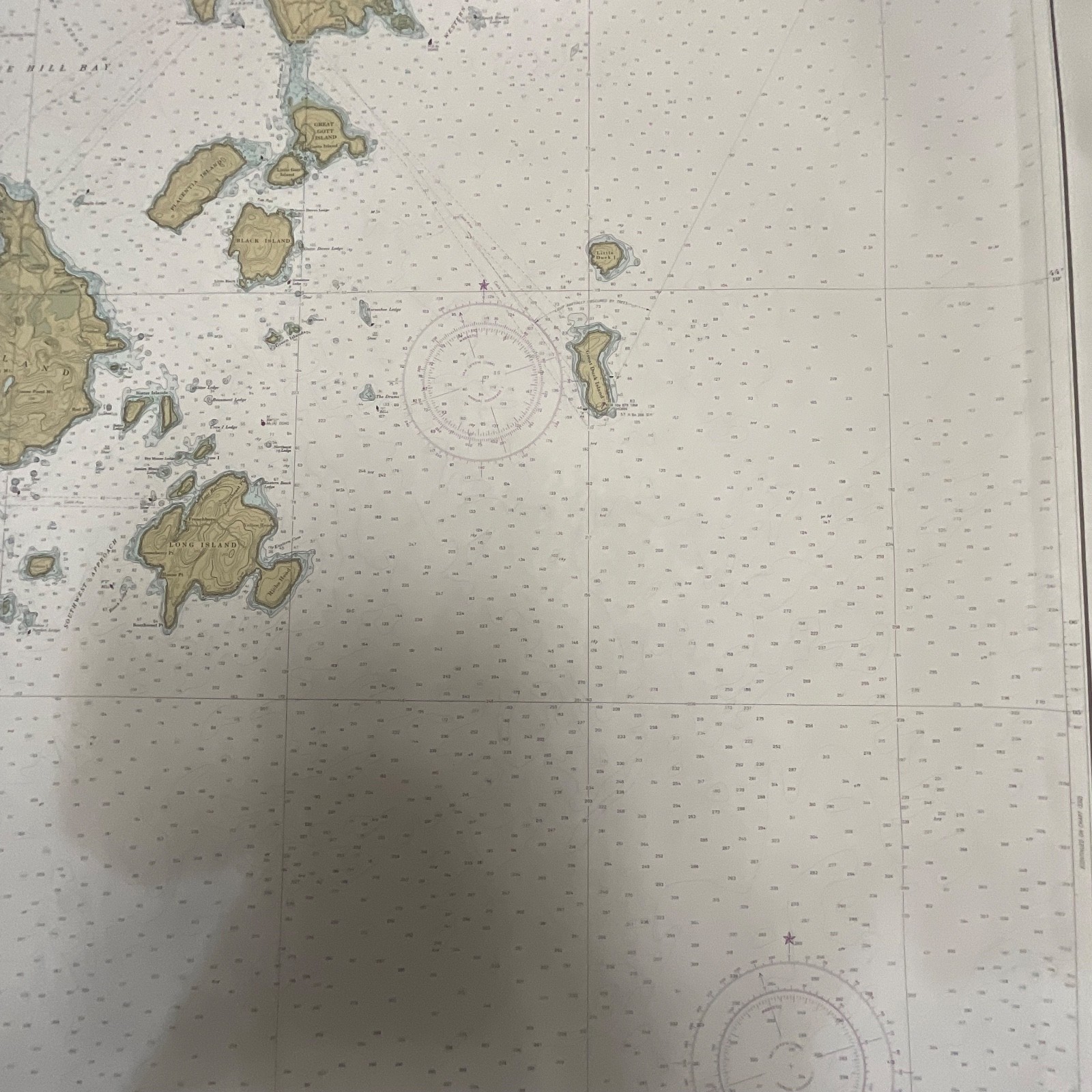
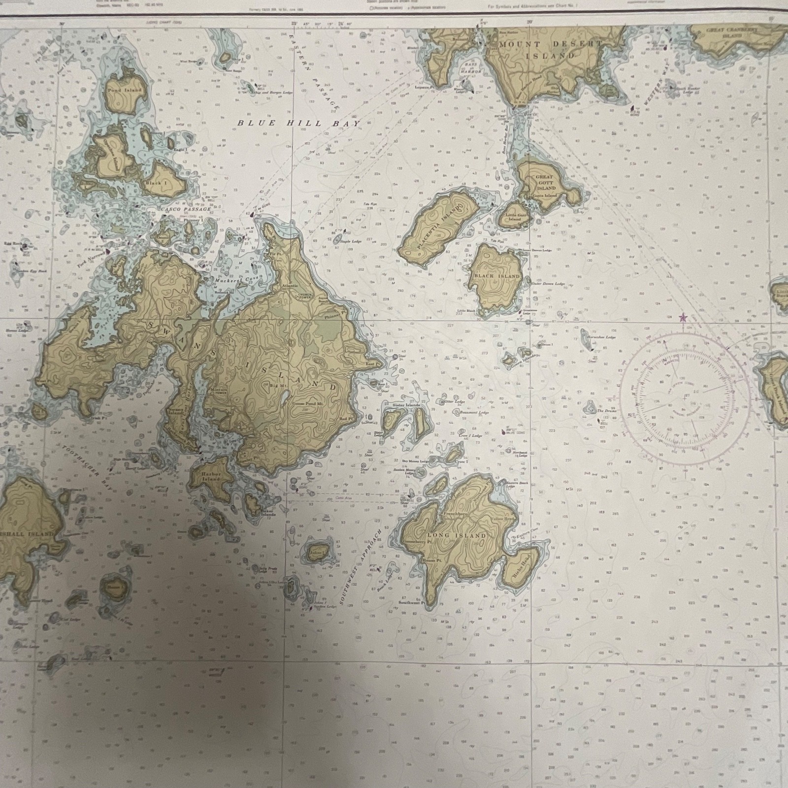
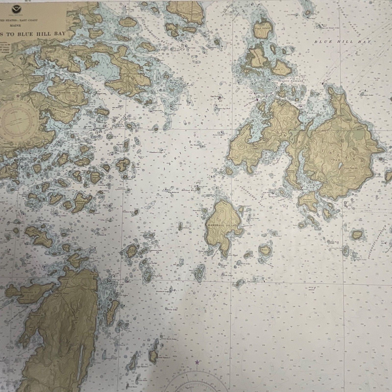
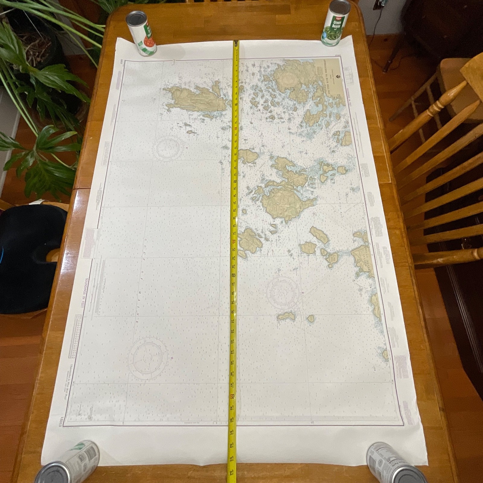
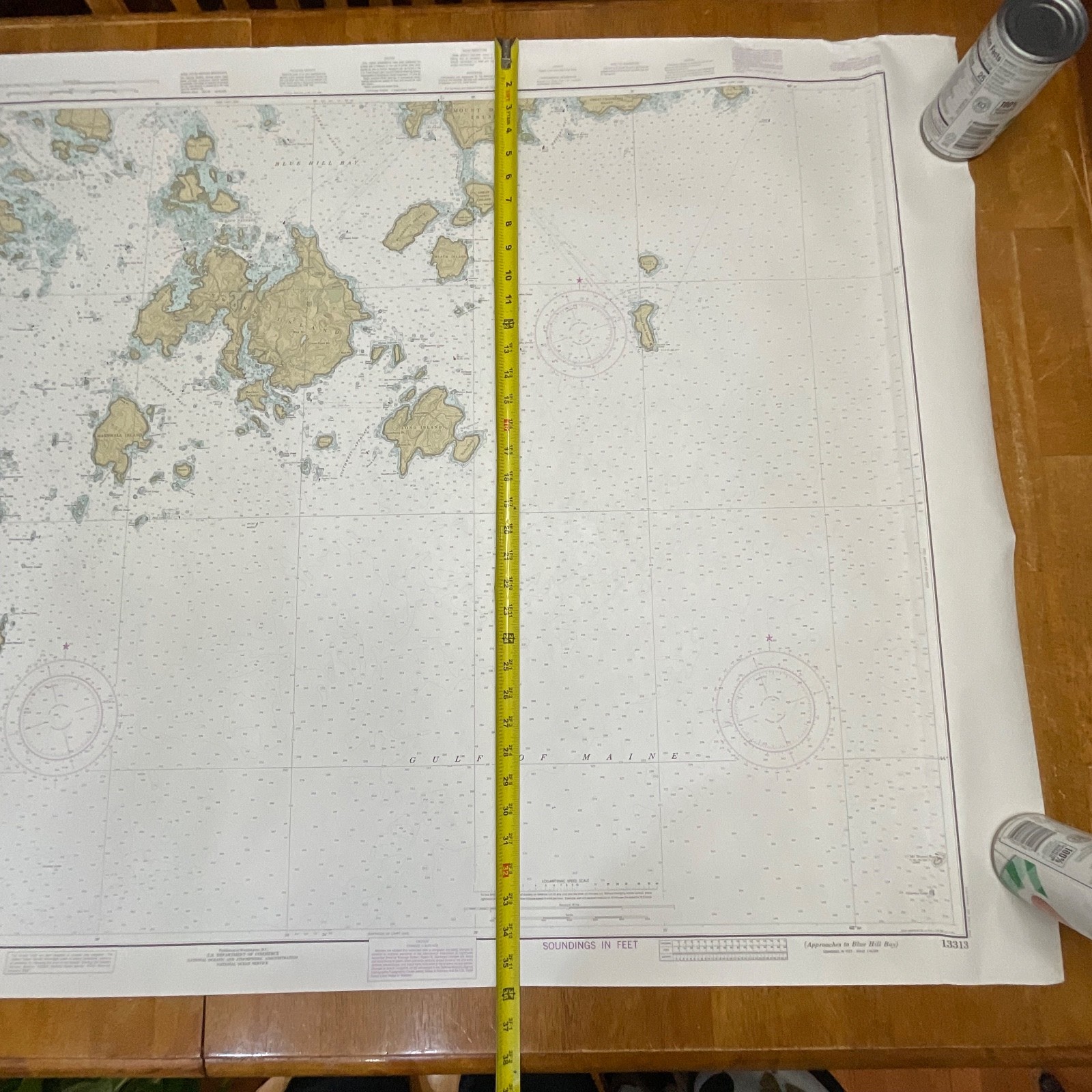
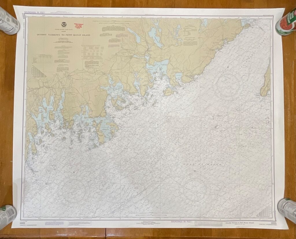
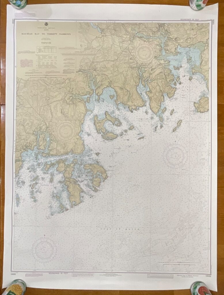
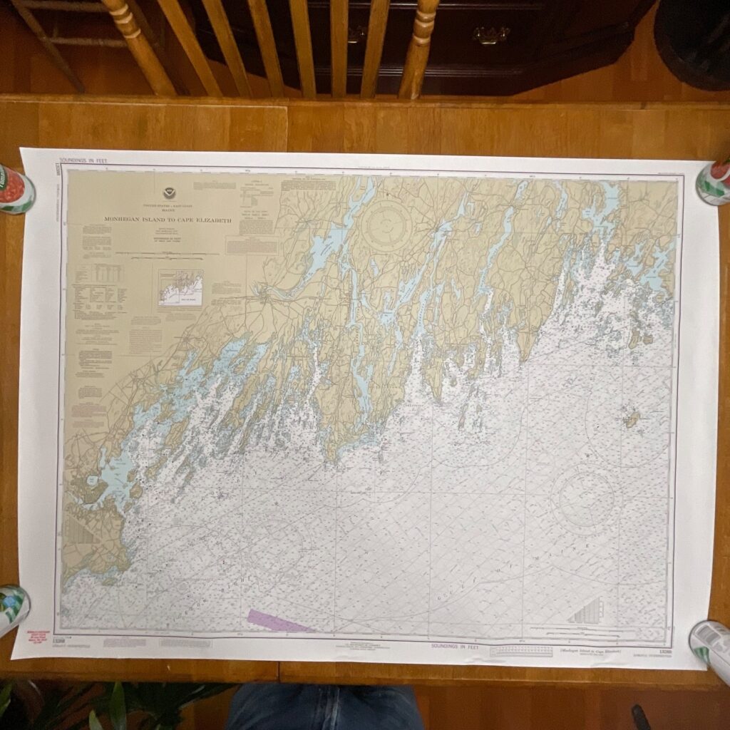
This is an original 1984 NOAA nautical chart (No. 13313) titled Approaches to Blue Hill Bay, covering the coastal region of Maine. It features classic mid-century NOAA cartography with detailed depth markings, coastal contours, and navigation aids.
The chart is printed on traditional marine-grade paper and shows the 17th Edition dated September 15, 1984. Notable features include detailed renderings of Deer Isle, Mount Desert Island, Great Gott Island, and the surrounding passages. A small tear is visible at the upper right edge. The sheet is laid flat for photos and will ship rolled.
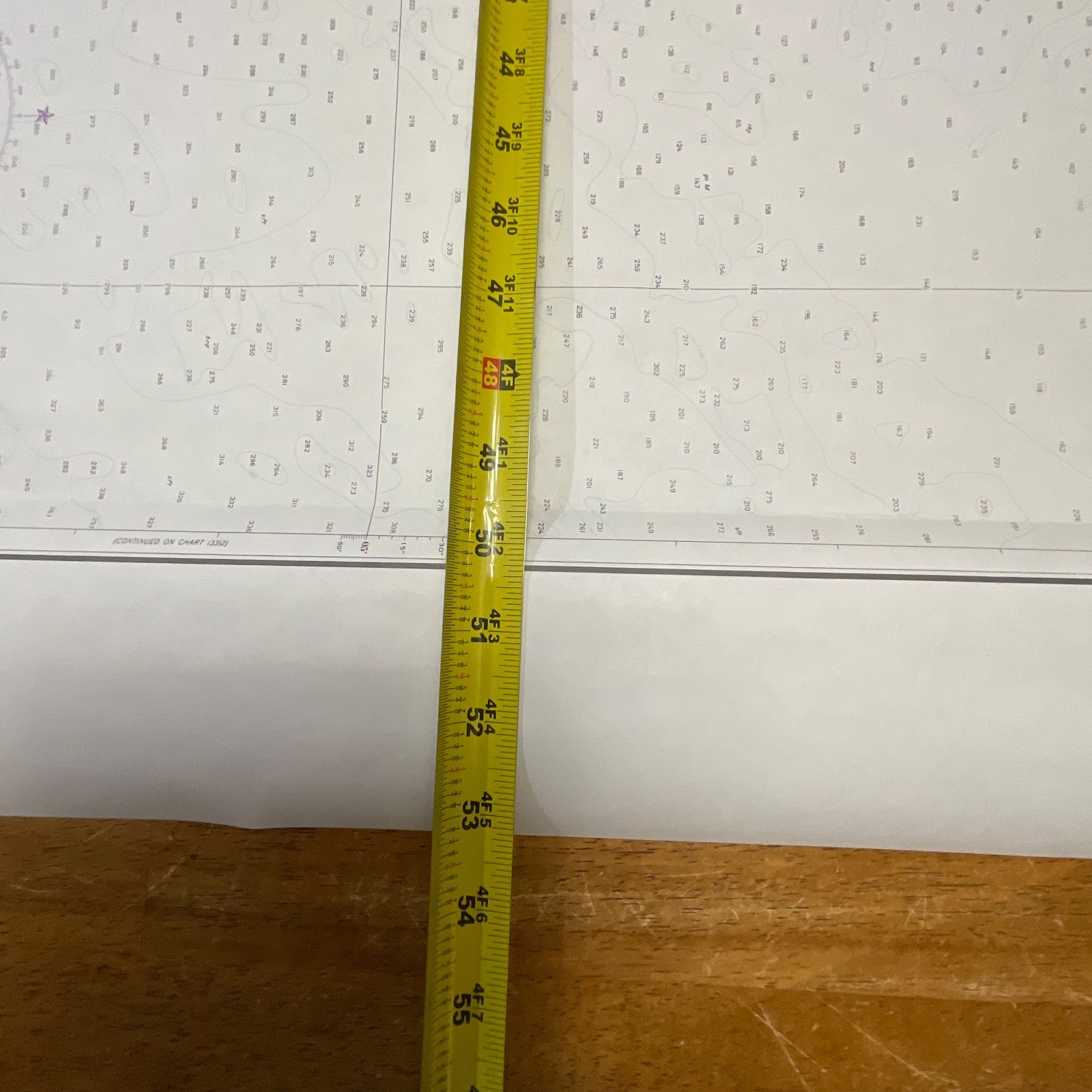
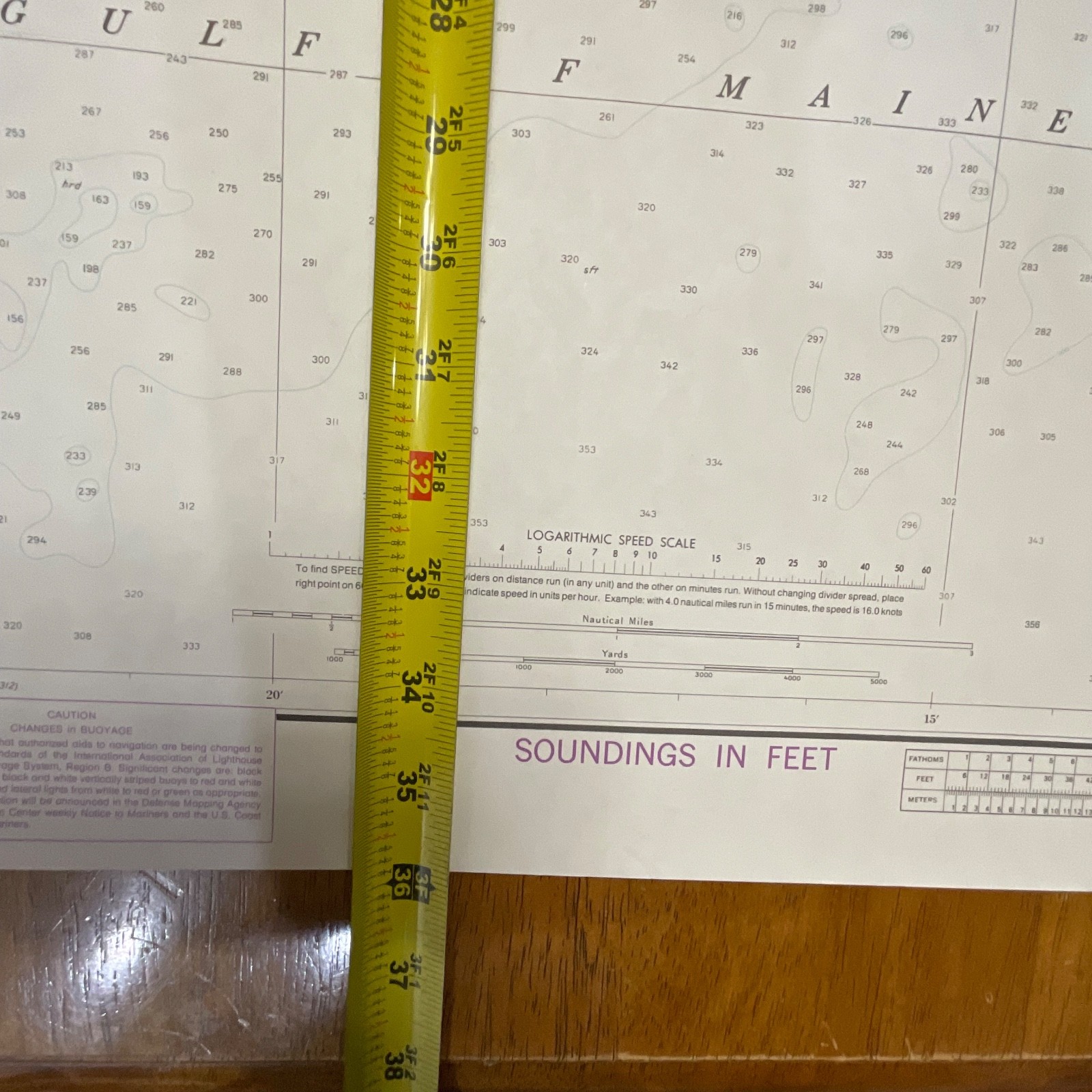
Measurements: approximately 53in wide x 36in tall
Shipping note: Ships securely with protective packaging; prompt shipping excluding Federal Holidays.
Condition Description
Vintage pre-owned condition with light handling wear and a small tear at the top right edge. No major stains or writing observed. Please review all photos for exact condition before purchase.
Item Specifics
Category: Maps & Atlases
Type: Nautical Chart
Style: Coastal / Navigational
Material: Paper (marine-grade)
Color: Multicolor (nautical chart palette)
Size: 53in x 36in
Era: 1980s
Occasion: Maritime / Collecting / Display
Gender/Unisex: Unisex
Brand/Signature: NOAA – National Ocean Service
Country/Region: United States / Maine
Chart Number: 13313
Edition: 17th Edition, Sept. 15, 1984
UPC: Not visible

Reviews
There are no reviews yet.