
Description
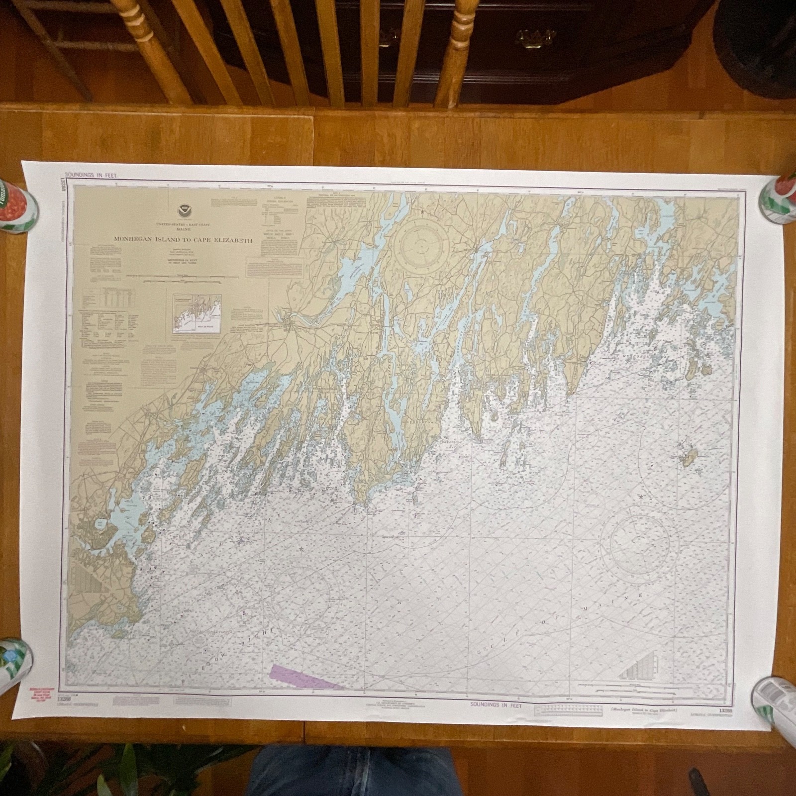
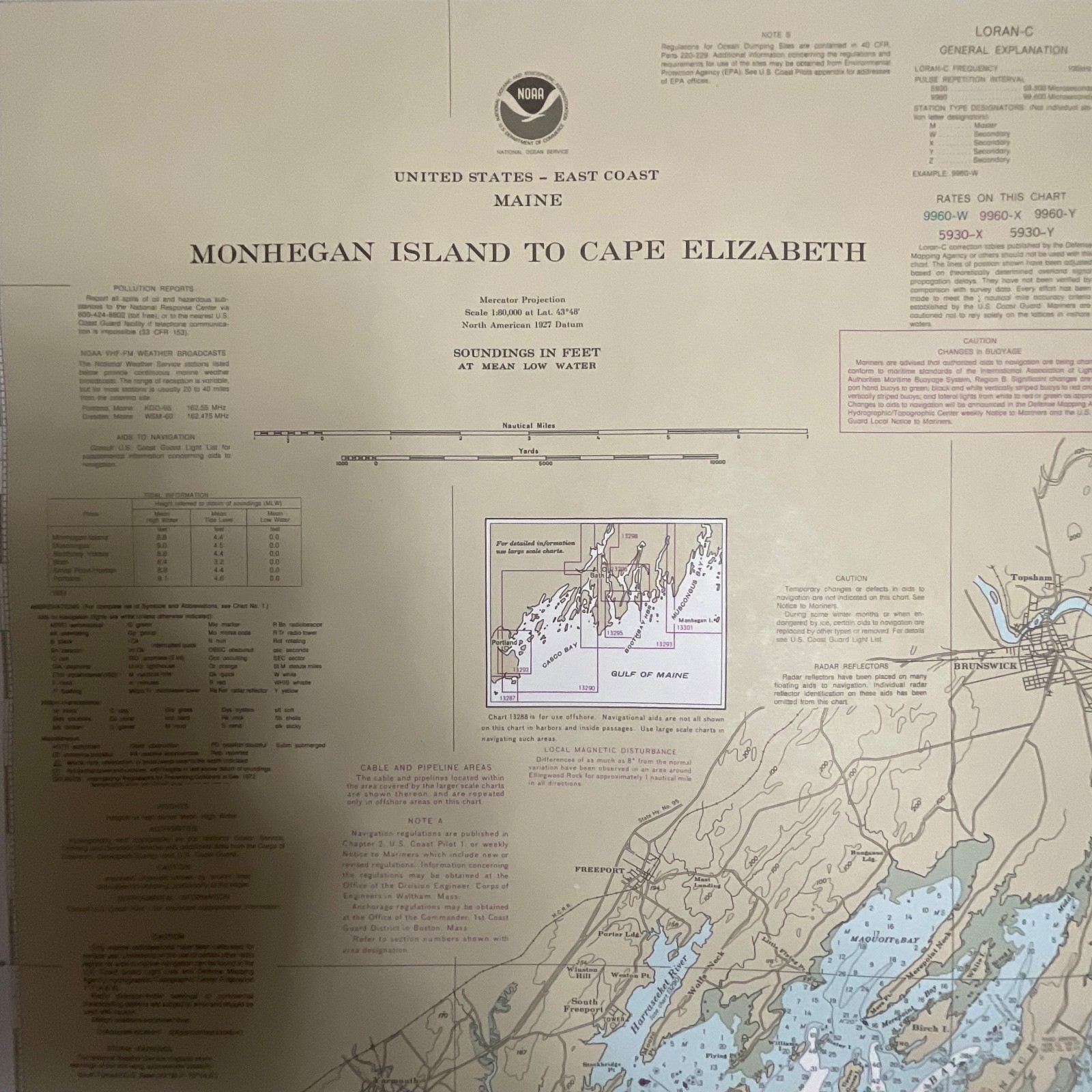
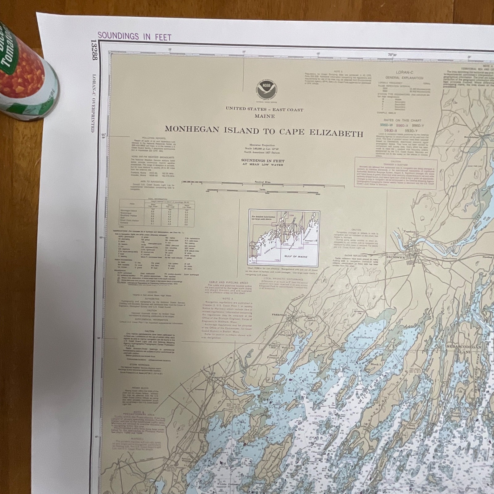
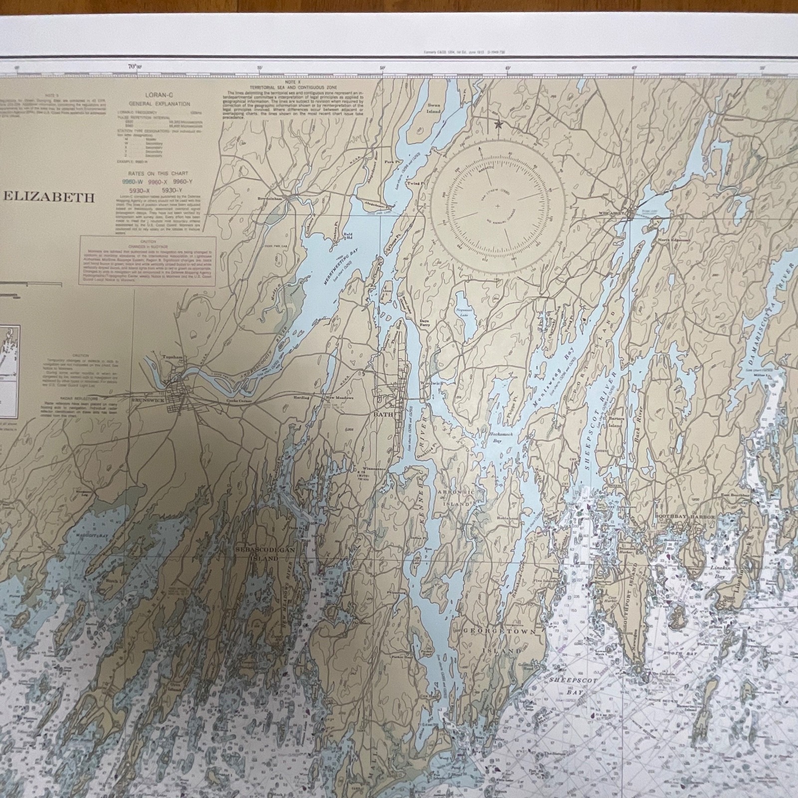
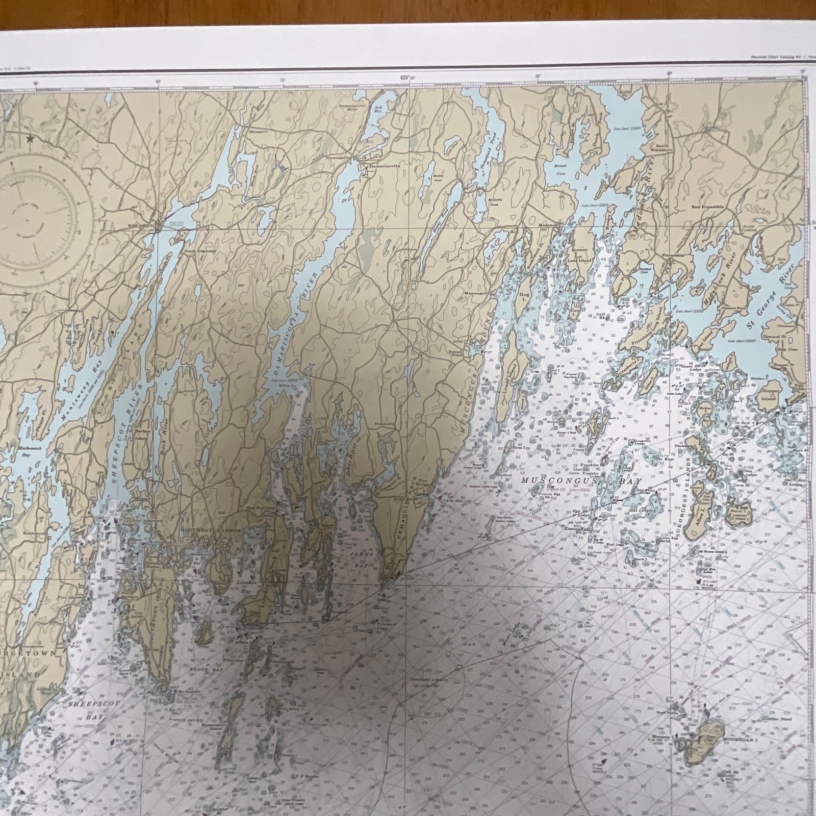
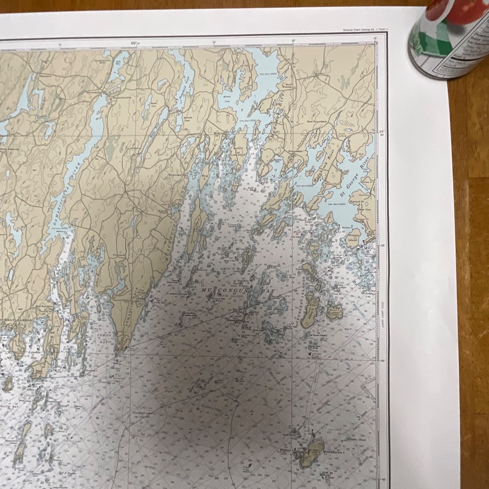
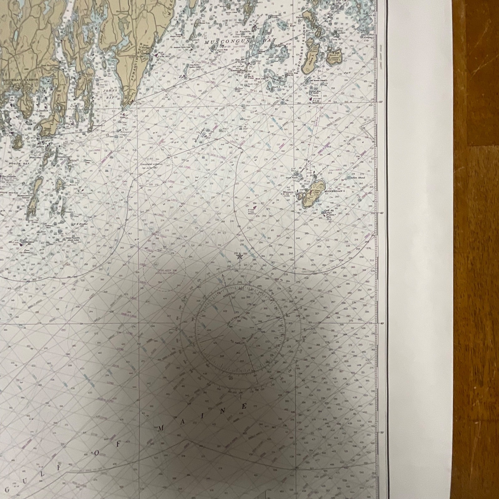
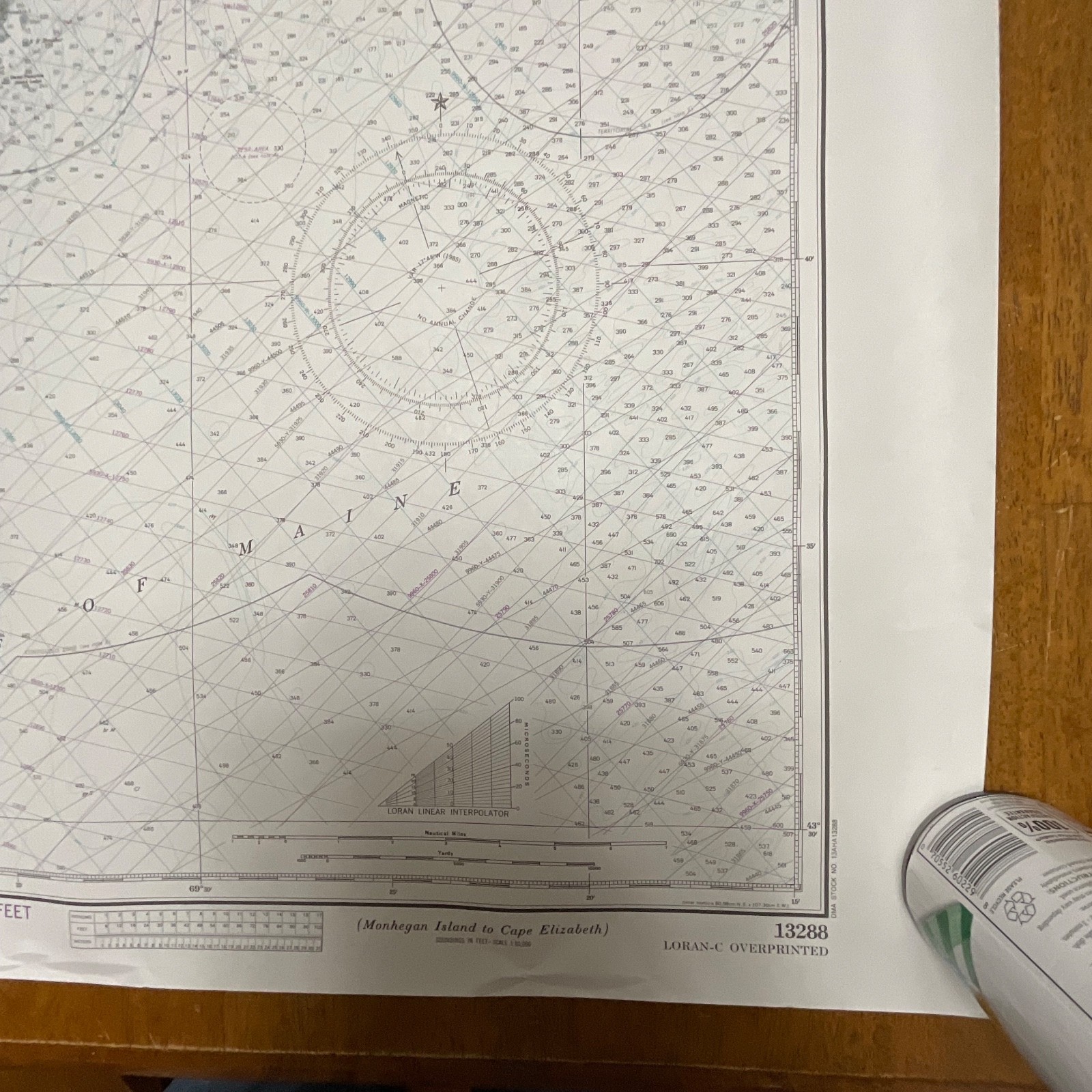
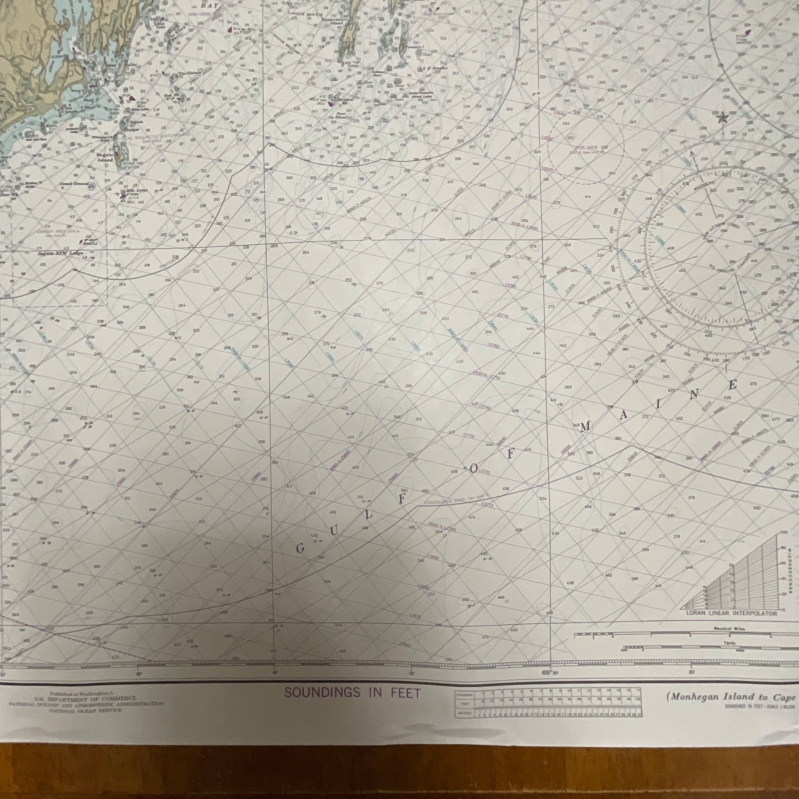
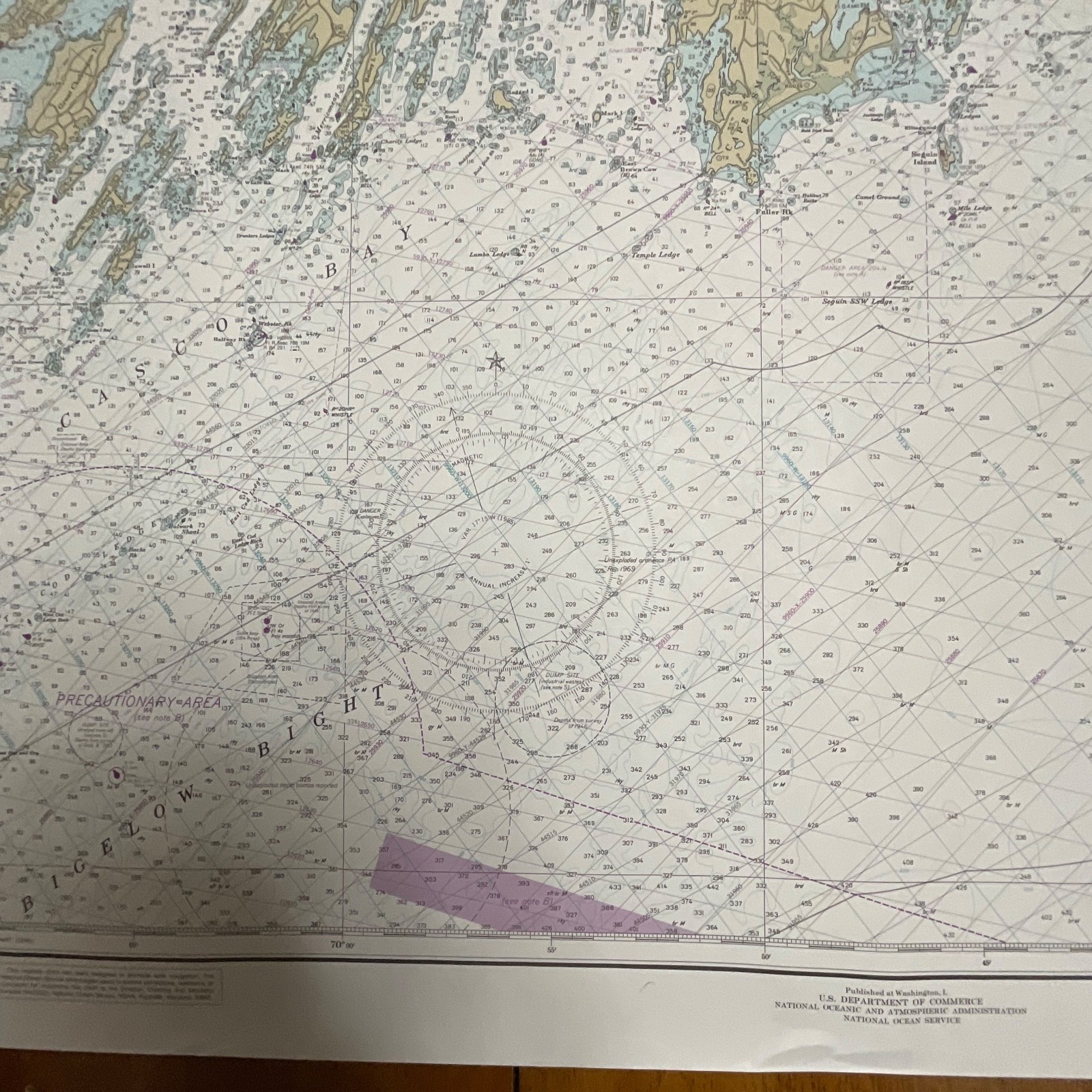
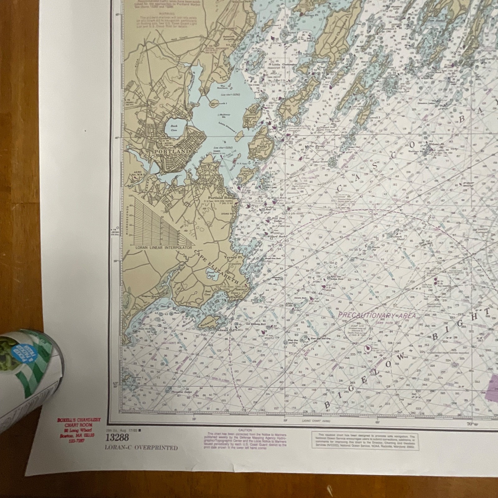
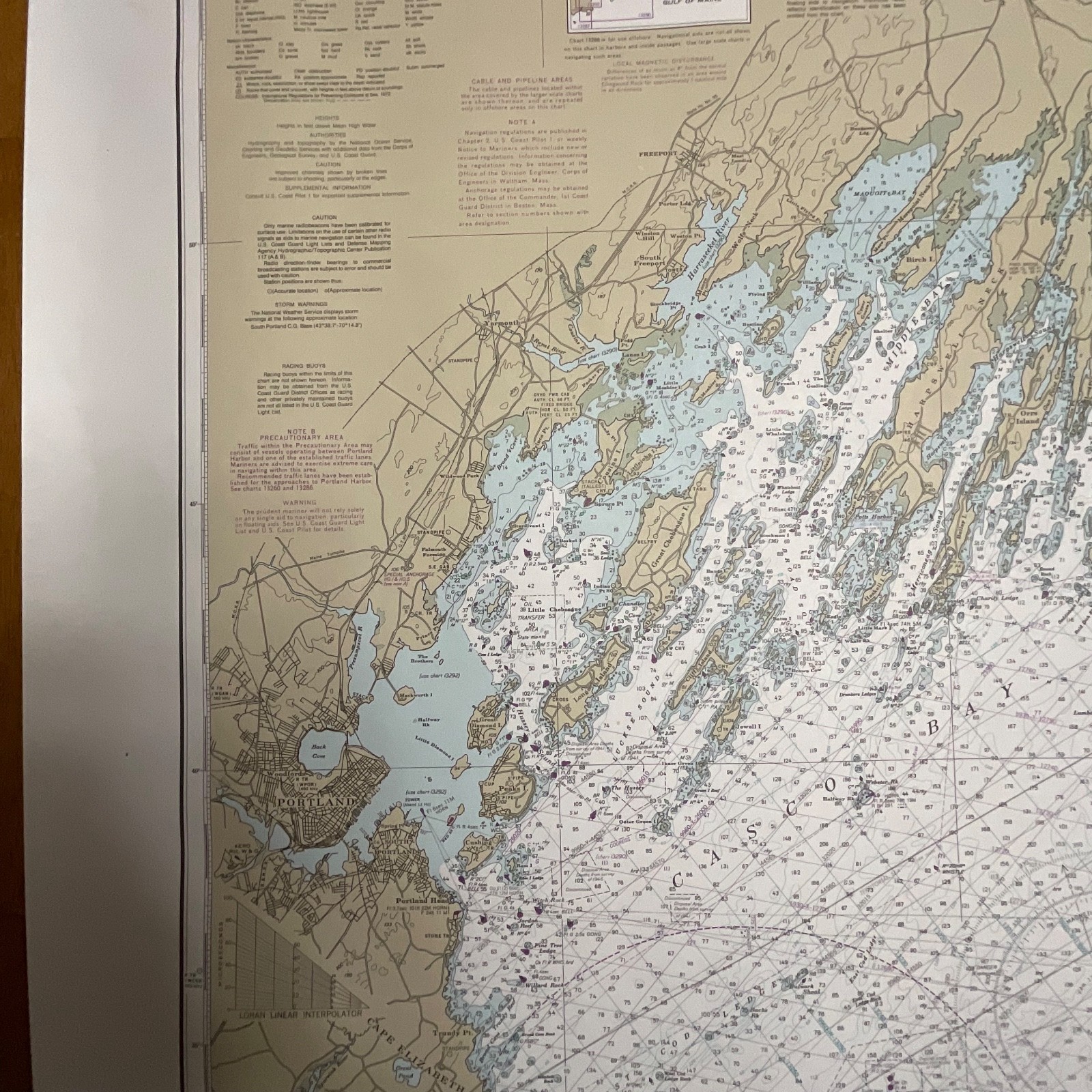
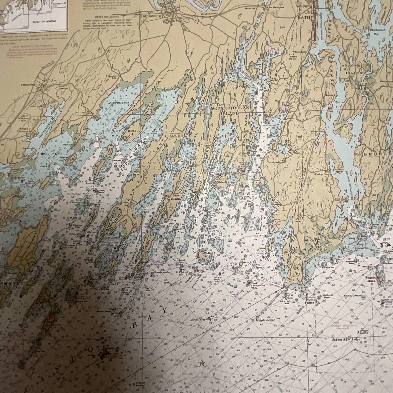
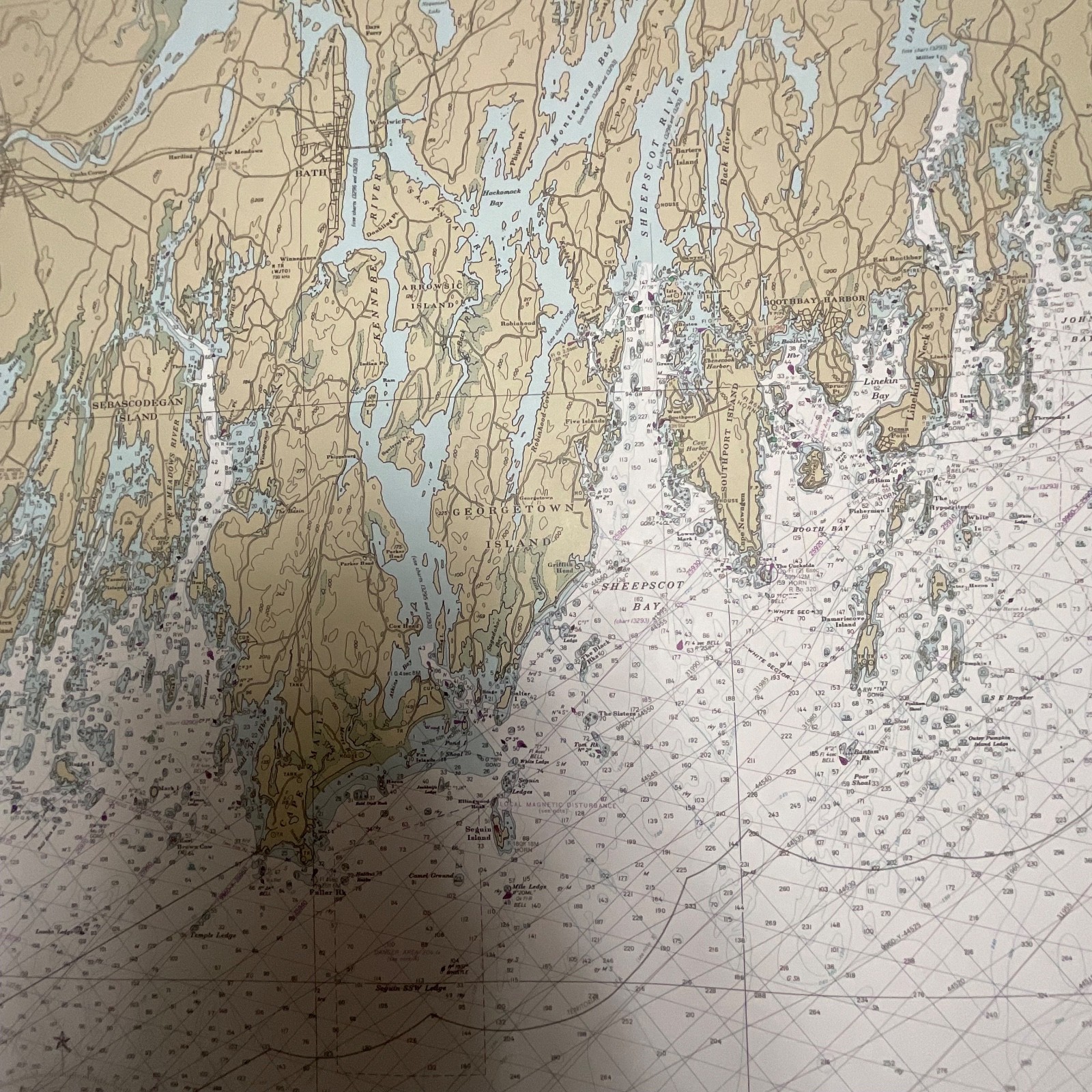
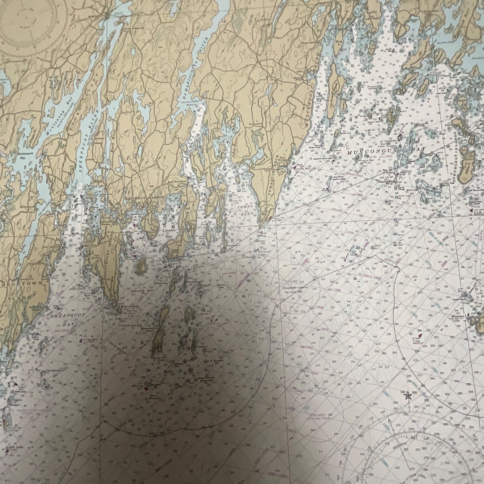
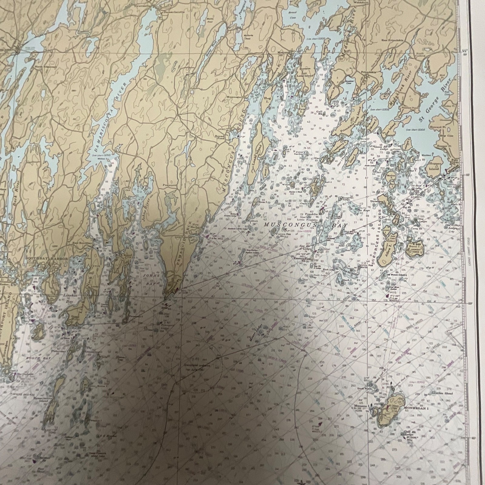
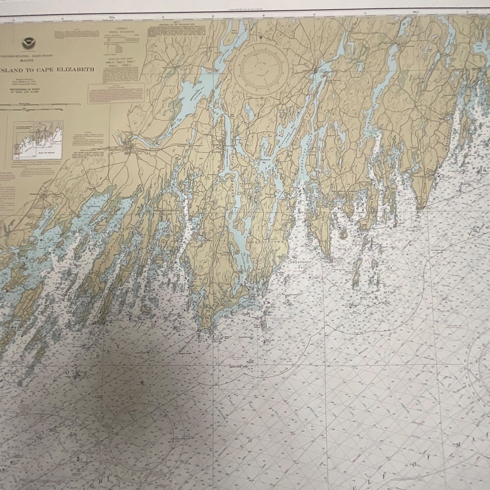
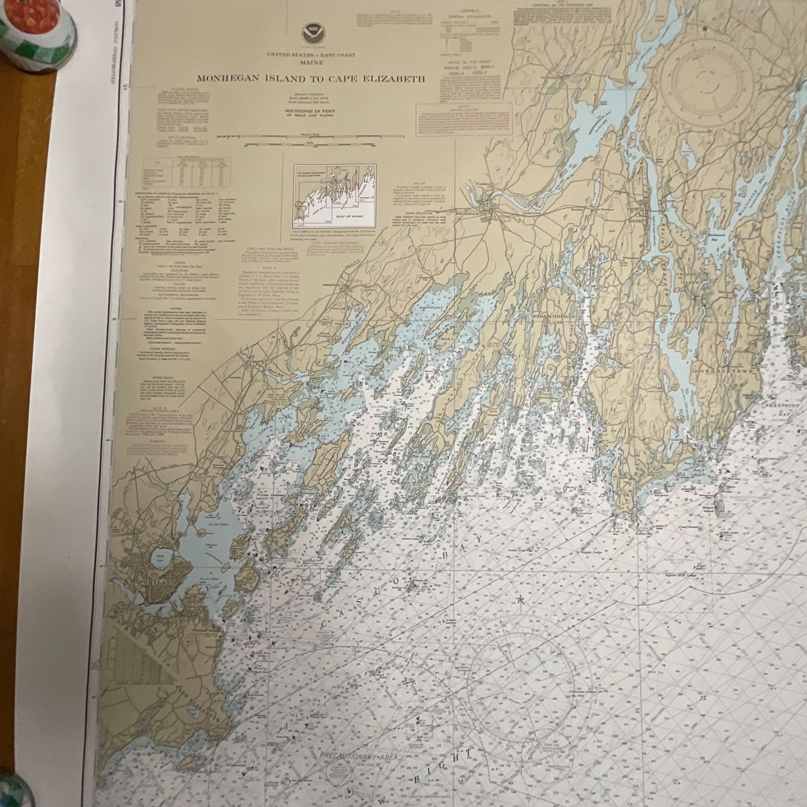
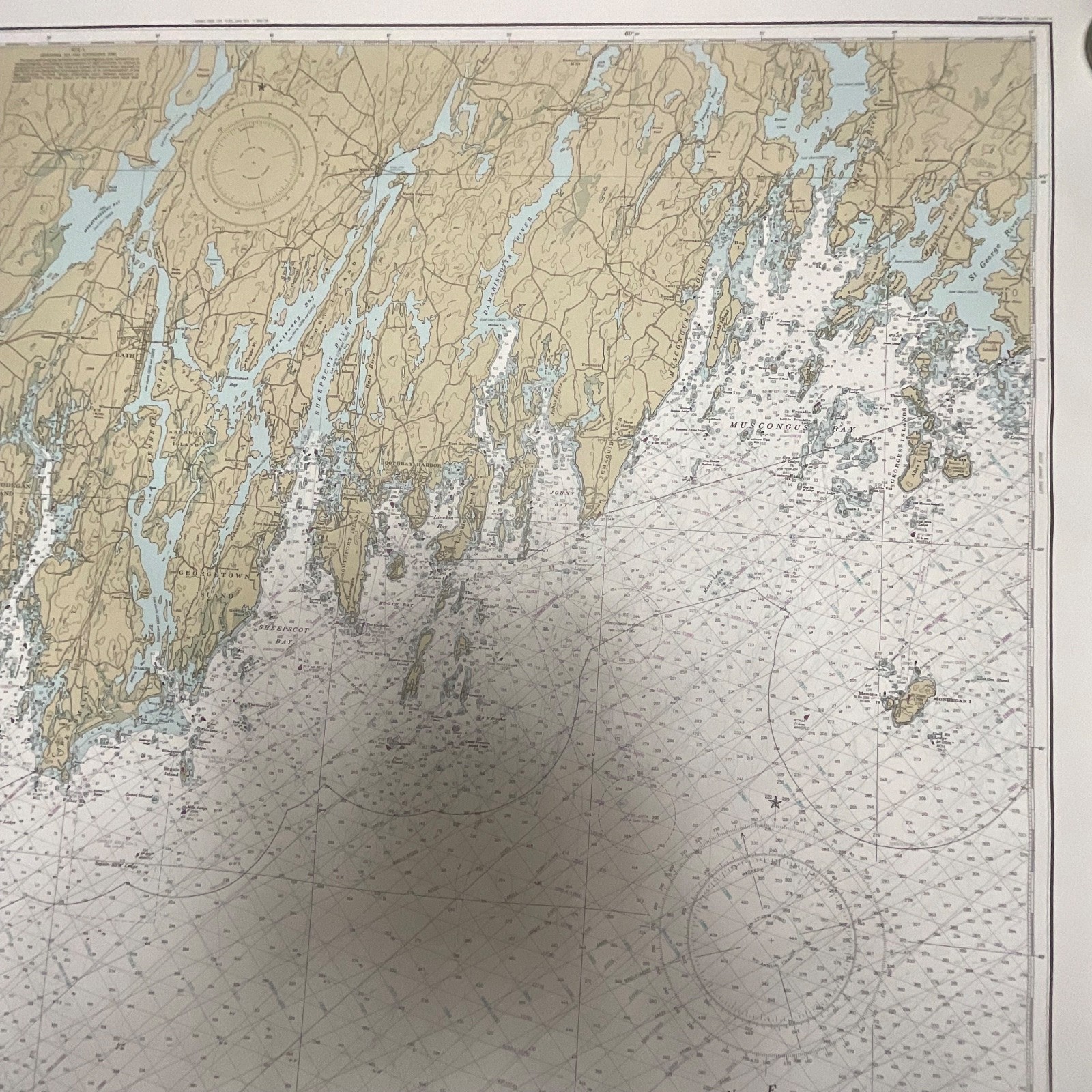
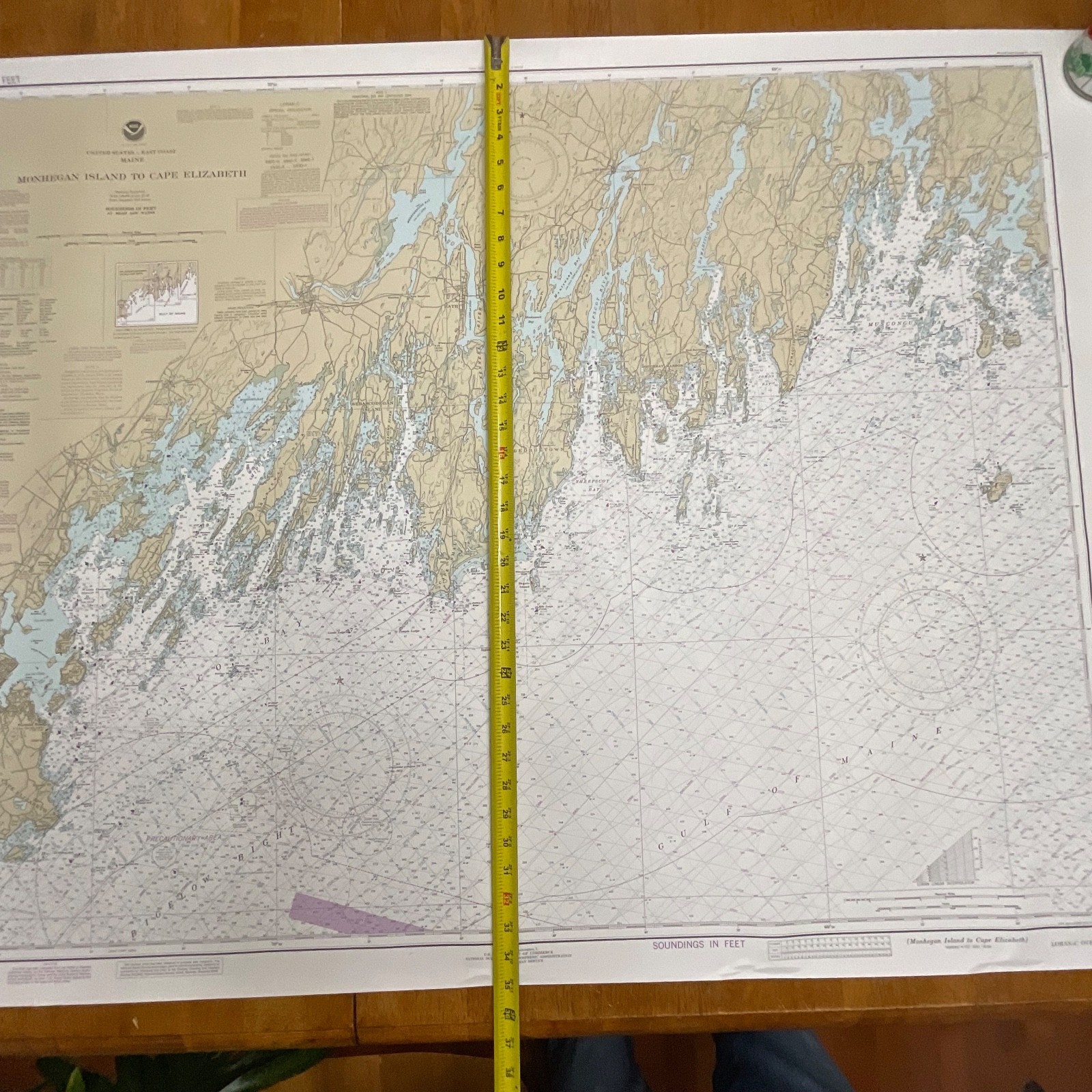
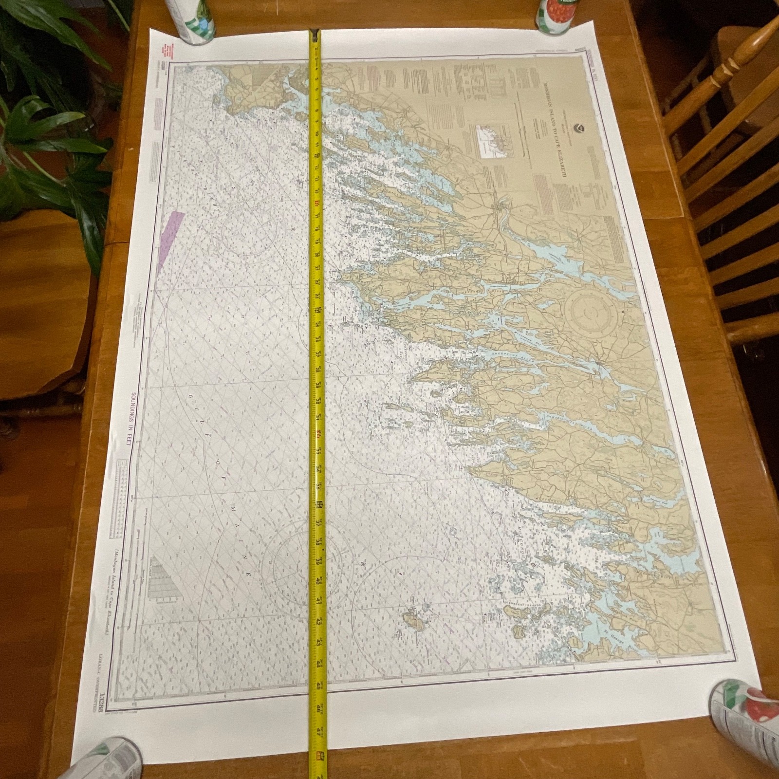
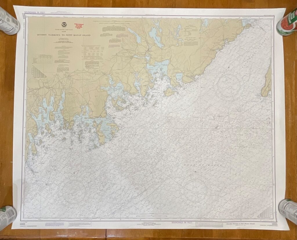
This is a 1985 NOAA nautical chart covering the coastal region from Monhegan Island to Cape Elizabeth, Maine. It features classic mid-1980s coloration, detailed depth soundings, LORAN-C overprints, and extensive navigational markings typical of NOAA Chart 13288.
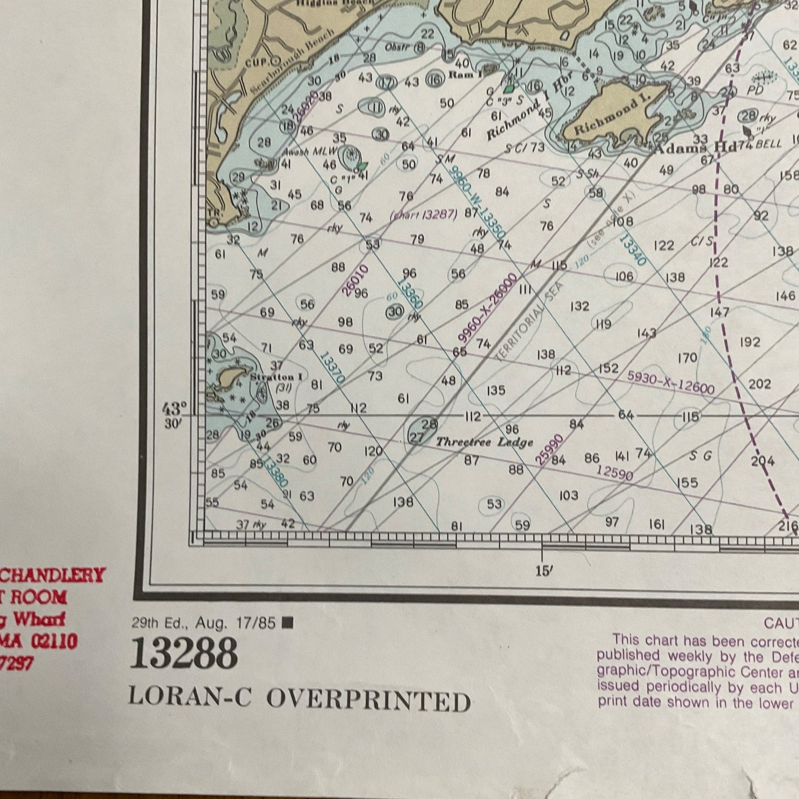
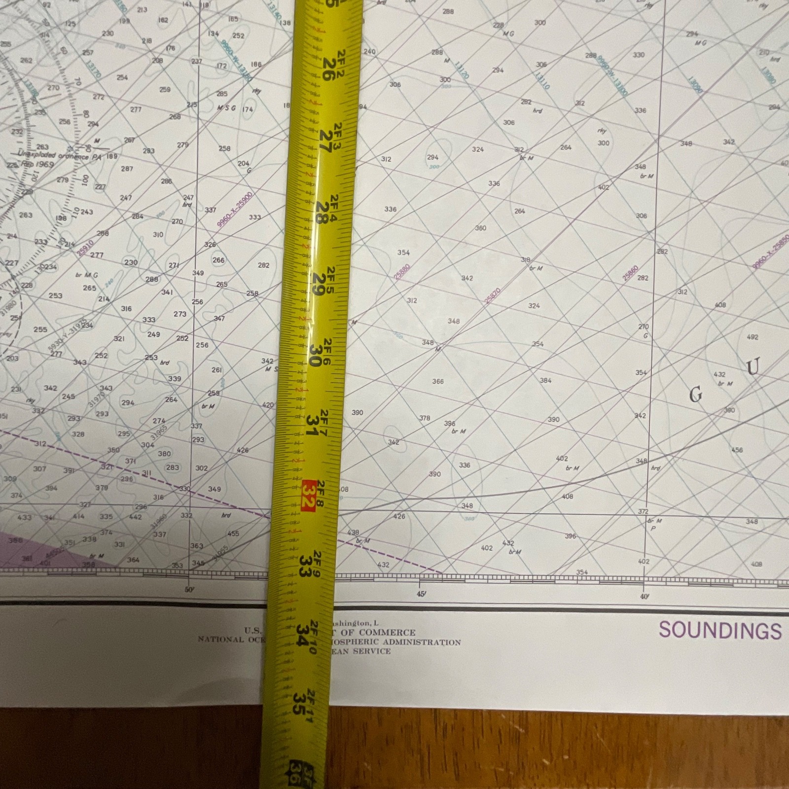
Printed on standard NOAA chart paper, it includes coastal topography, harbor approaches, aids to navigation, and tidal/current information. The edition marking visible is “29th Ed., Aug. 17/85,” confirming its publication date. A small tear is present near one lower edge, shown clearly in the photos.
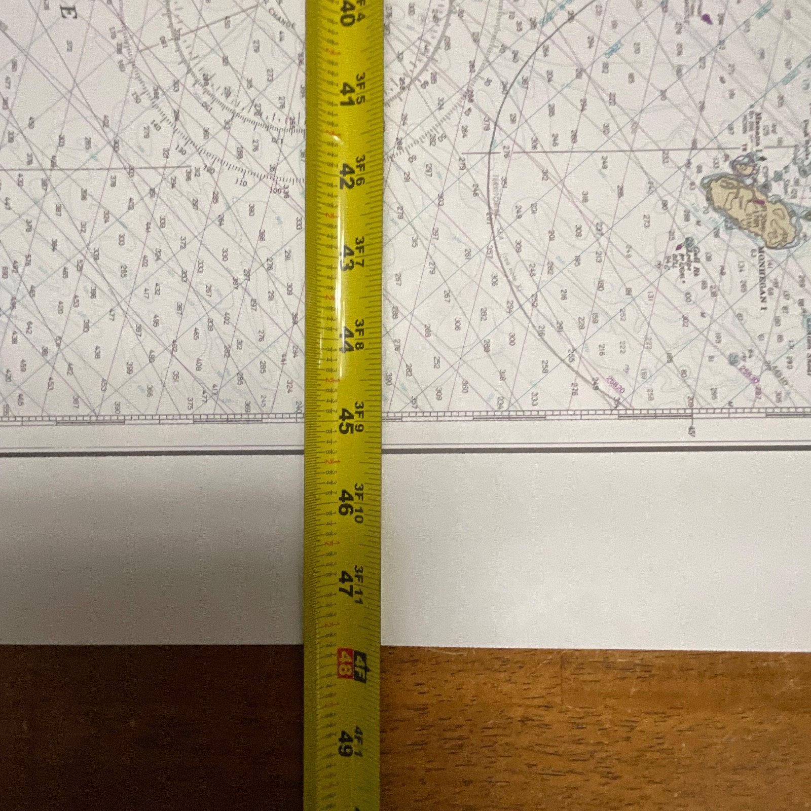
Measurements: approximately 35in x 48in overall.
Shipping: Ships securely with protective packaging; prompt shipping excluding Federal Holidays.
Condition Description
Chart is in pre-owned vintage condition with light handling wear and a small tear near the lower edge. No other major flaws visible. Please review all photos for exact condition before purchase.
Item Specifics
• Category: Maps & Atlases / Nautical Charts
• Type: NOAA Nautical Chart
• Style: Marine Navigation
• Material: Paper
• Color: Multicolor (tan/blue/white)
• Size: 35in x 48in
• Era: 1985
• Brand/Signature: NOAA / U.S. Department of Commerce
• Country/Region of Manufacture: United States
• Region Depicted: Maine – Monhegan Island to Cape Elizabeth
• Chart Number: 13288
• Edition: 29th Edition, Aug. 17/85
• UPC: Not visible

Reviews
There are no reviews yet.