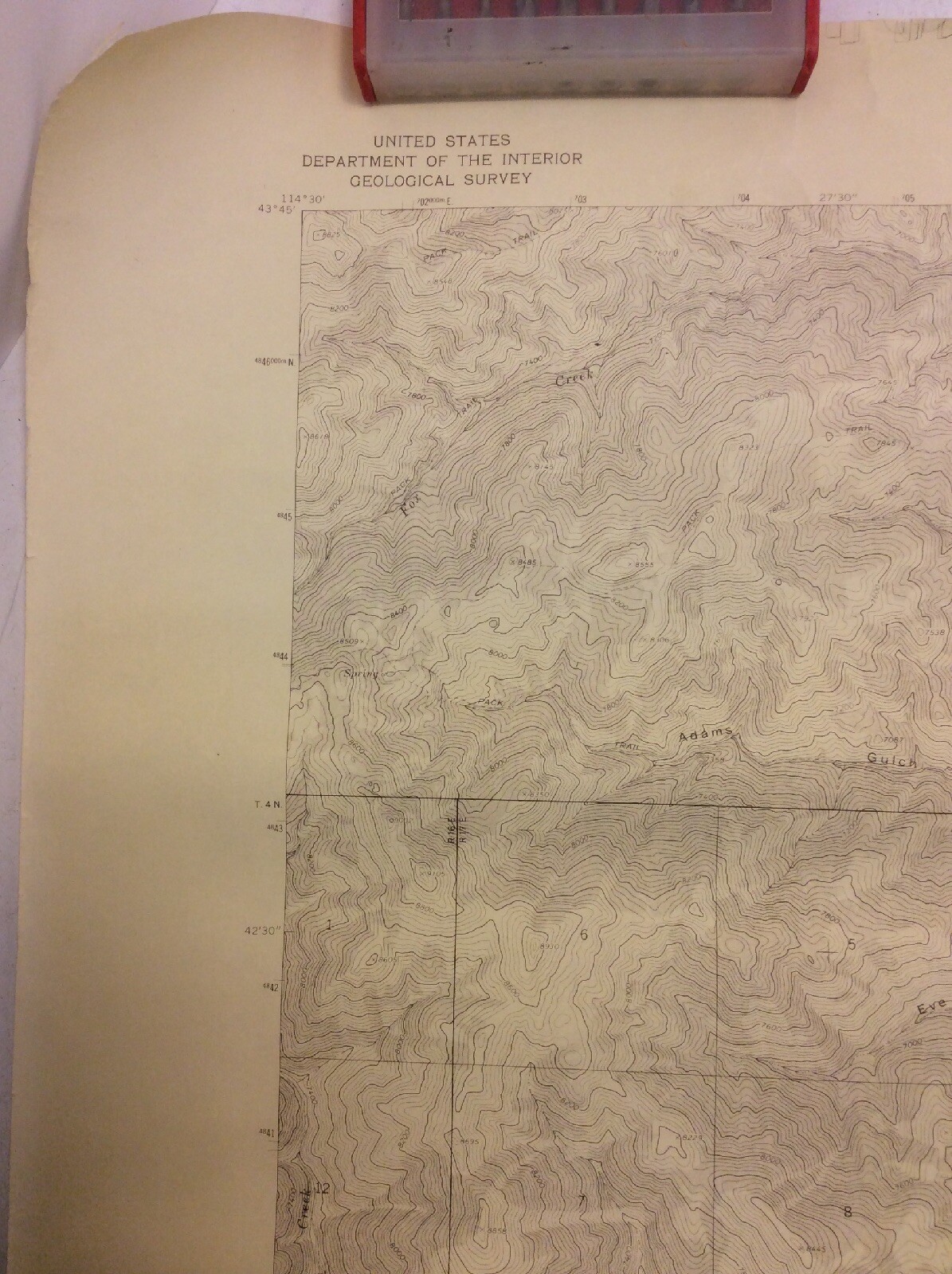
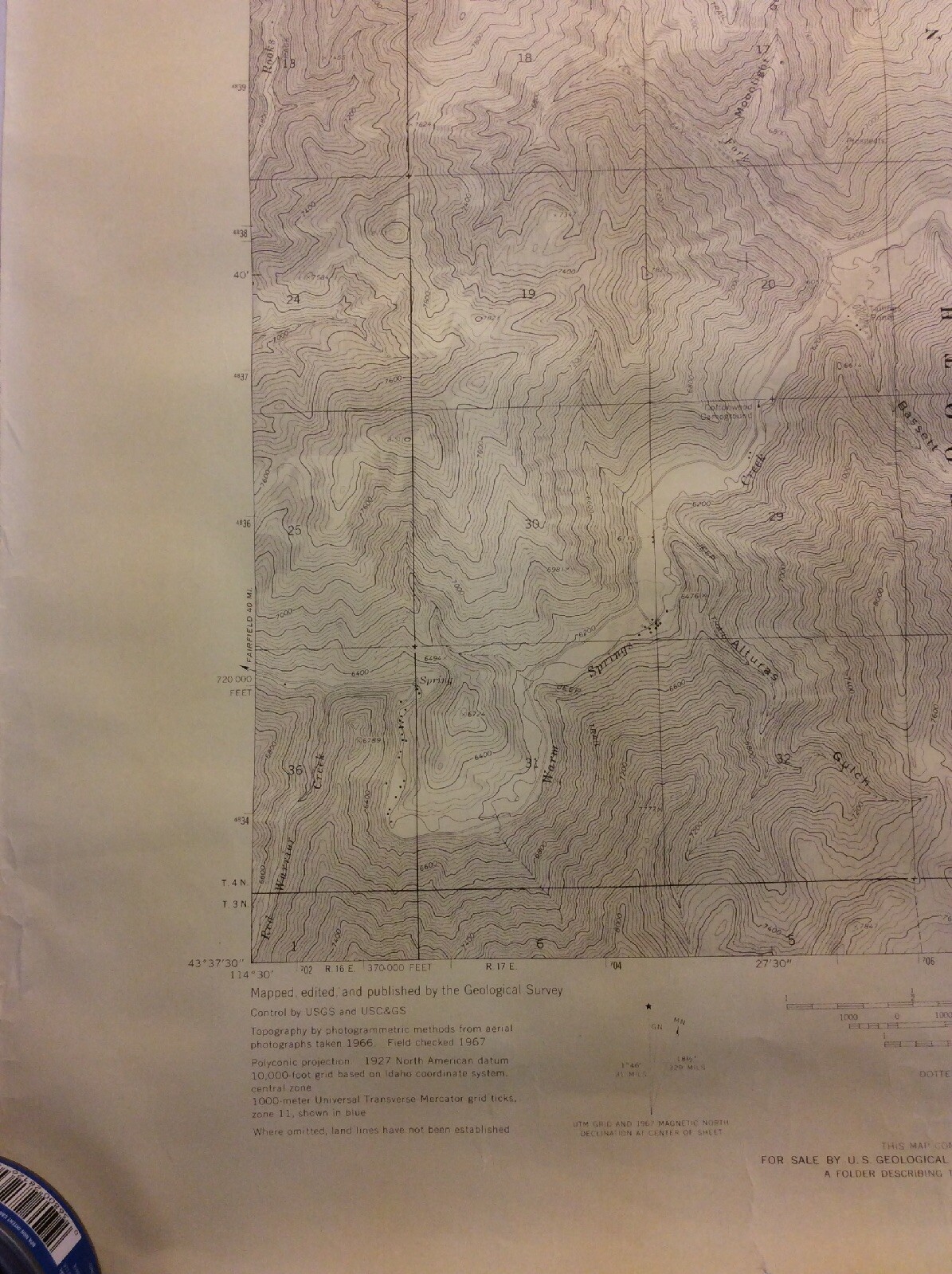
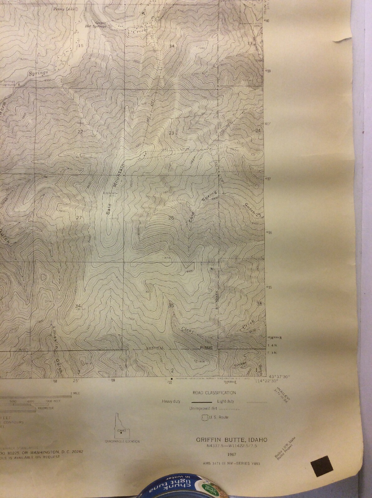
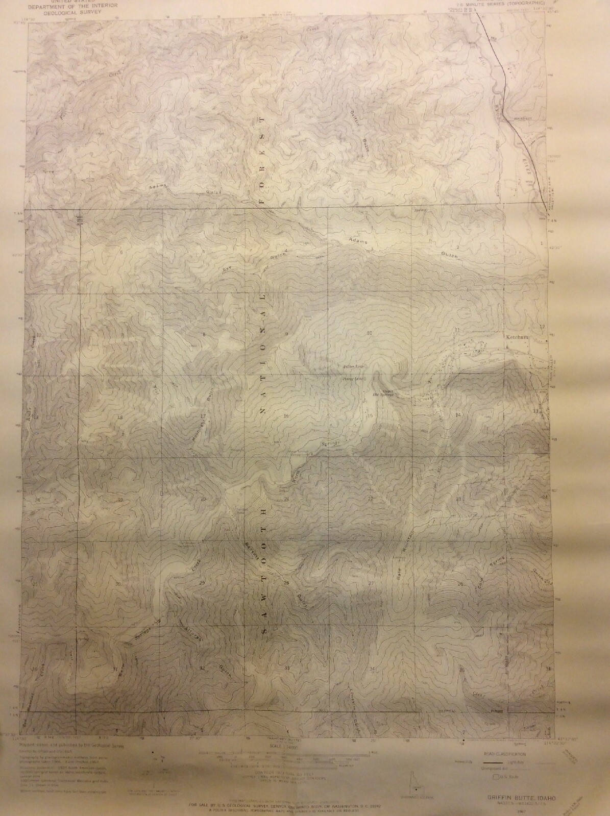
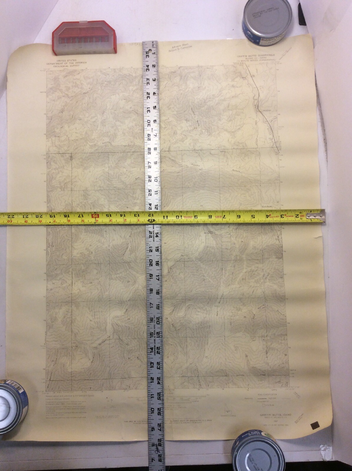
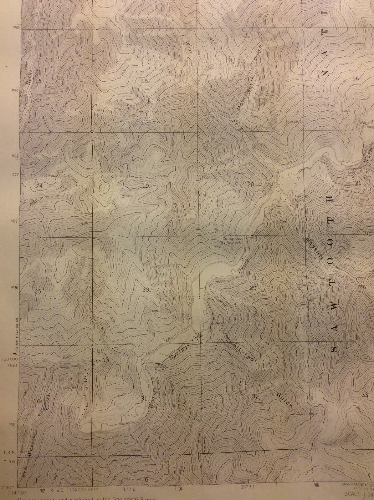
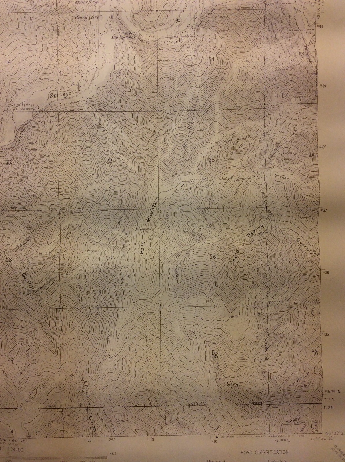
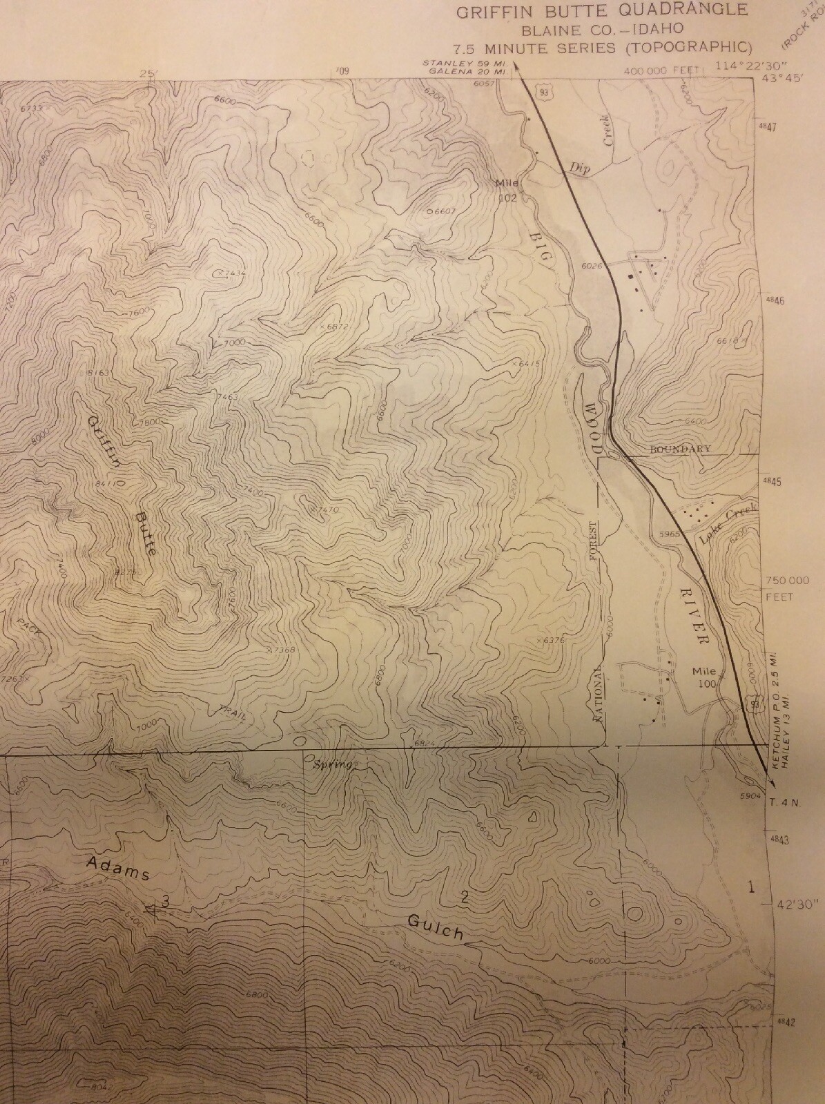
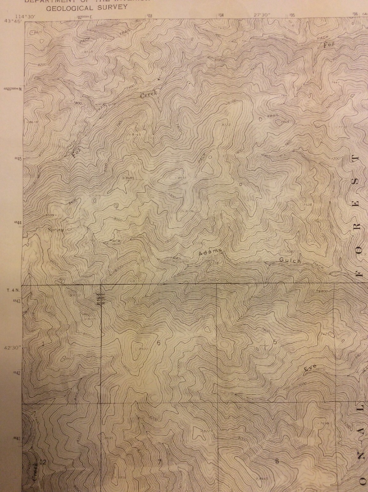
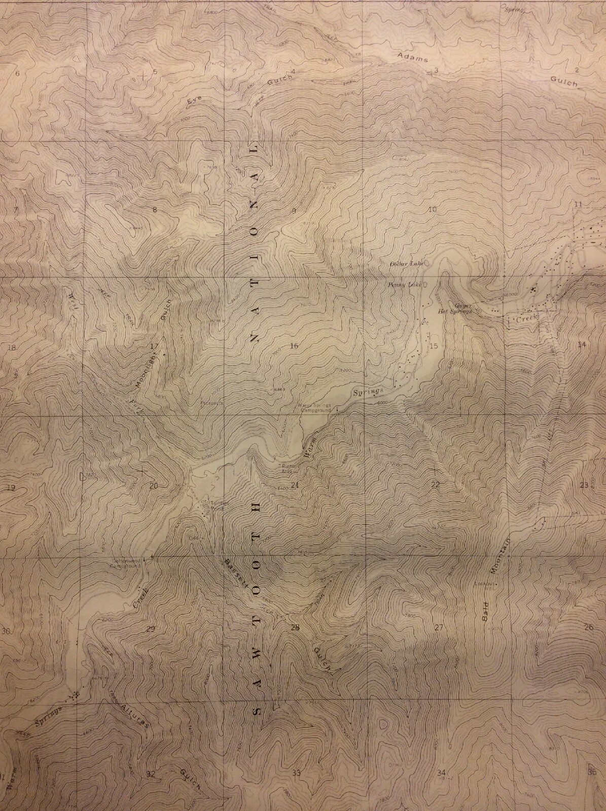
Griffin Butte Quadrangle Topographic Map 1967 Blaine County Idaho

$29.99

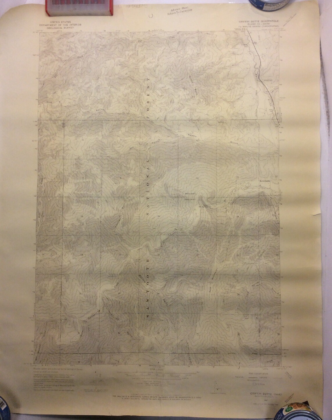
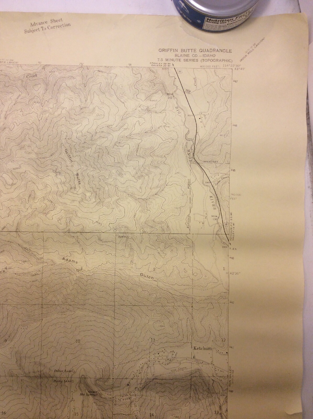
1967 Griffin Butte Quadrangle topographic map covering Blaine County, Idaho, including the Ketchum and Sun Valley area. Published by the U.S. Department of the Interior Geological Survey. Map measures

In stock

SKU: GNU11097
Category: ,

Description

1967 Griffin Butte Quadrangle topographic map covering Blaine County, Idaho, including the Ketchum and Sun Valley area. Published by the U.S. Department of the Interior Geological Survey. Map measures approximately 28 × 22 in and is intended to ship rolled.

Pre-owned map with age-related discoloration, folds and visible wear. Please review the photos for exact condition and markings.

Ships securely with protective packaging. Orders ship promptly, excluding federal holidays.
Additional information

Weight 2 lbs
Dimensions 28 × 22 in
Condition

fair

Reviews

There are no reviews yet.

Be the first to review “Griffin Butte Quadrangle Topographic Map 1967 Blaine County Idaho”

Your email address will not be published. Required fields are marked *

SHOP THE GNUS

Explore the departments